The best gravel rides around Écourt-Saint-Quentin
4.6
(10)
87
riders
15
rides
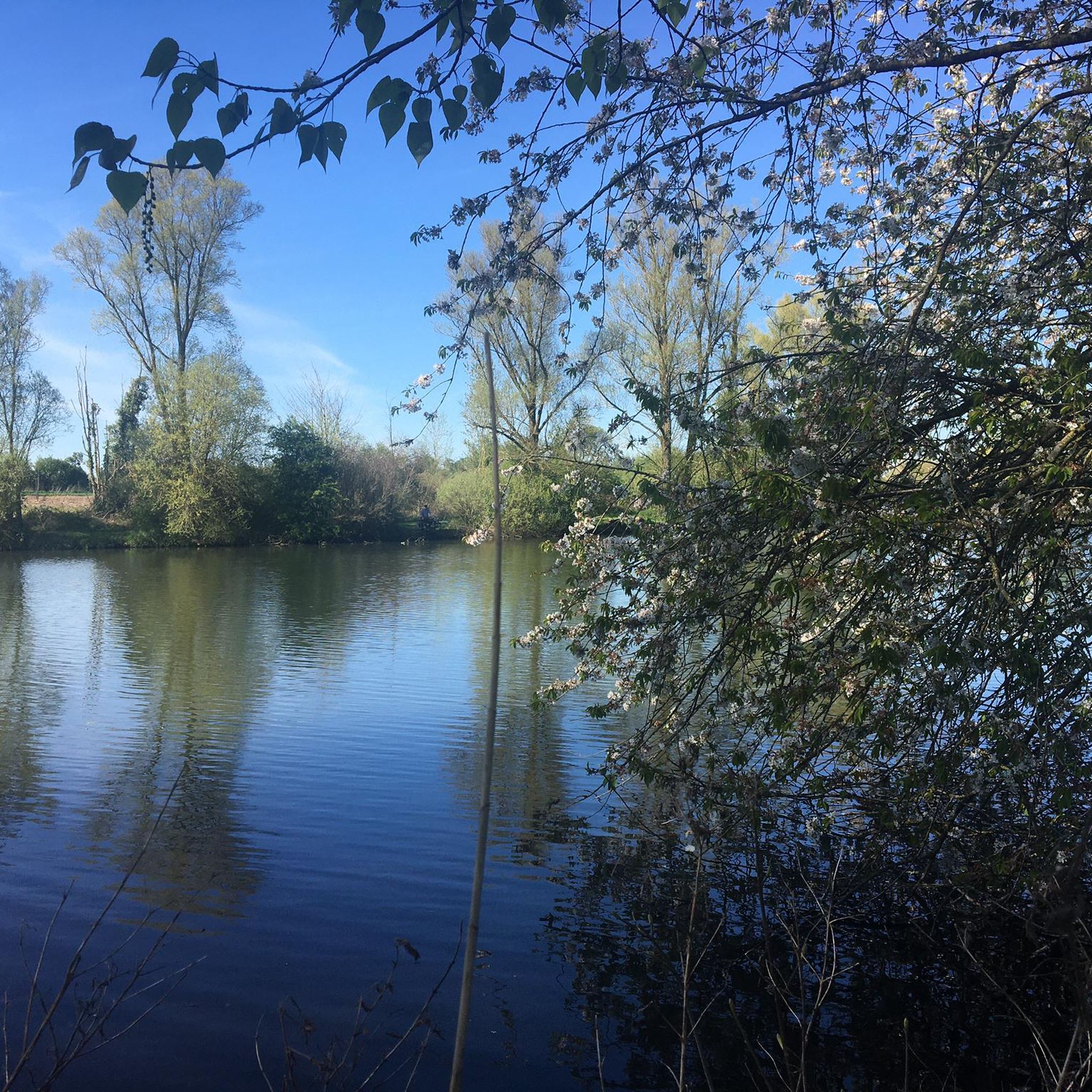
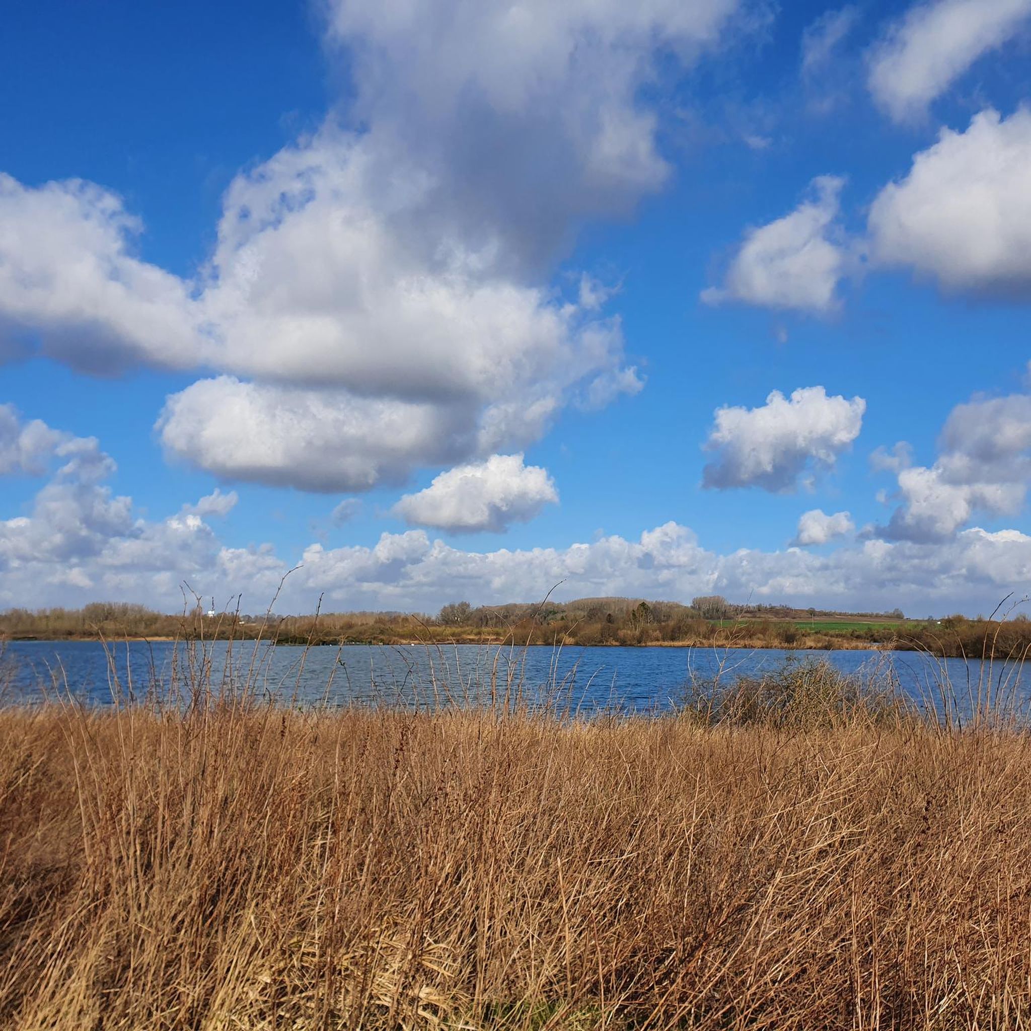
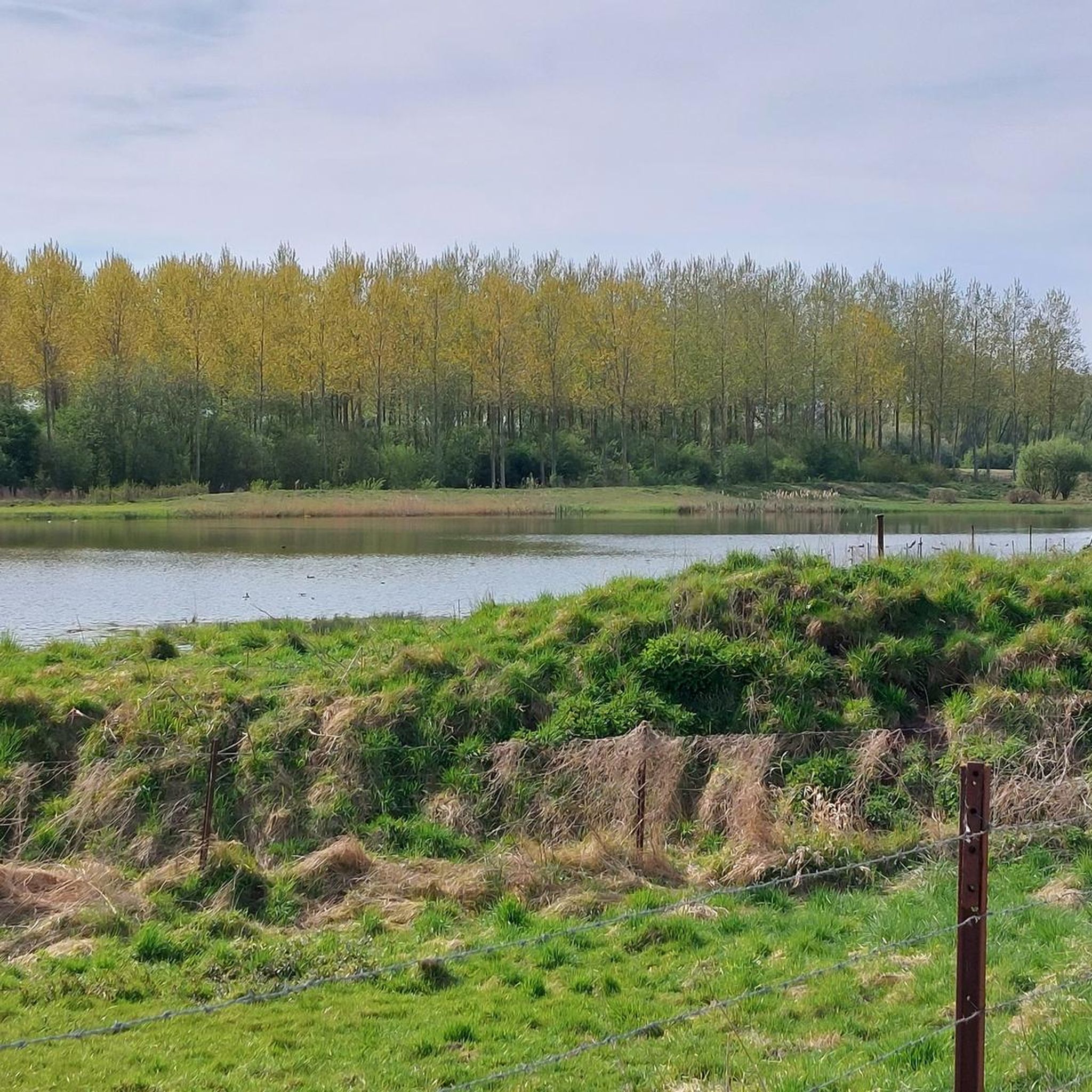
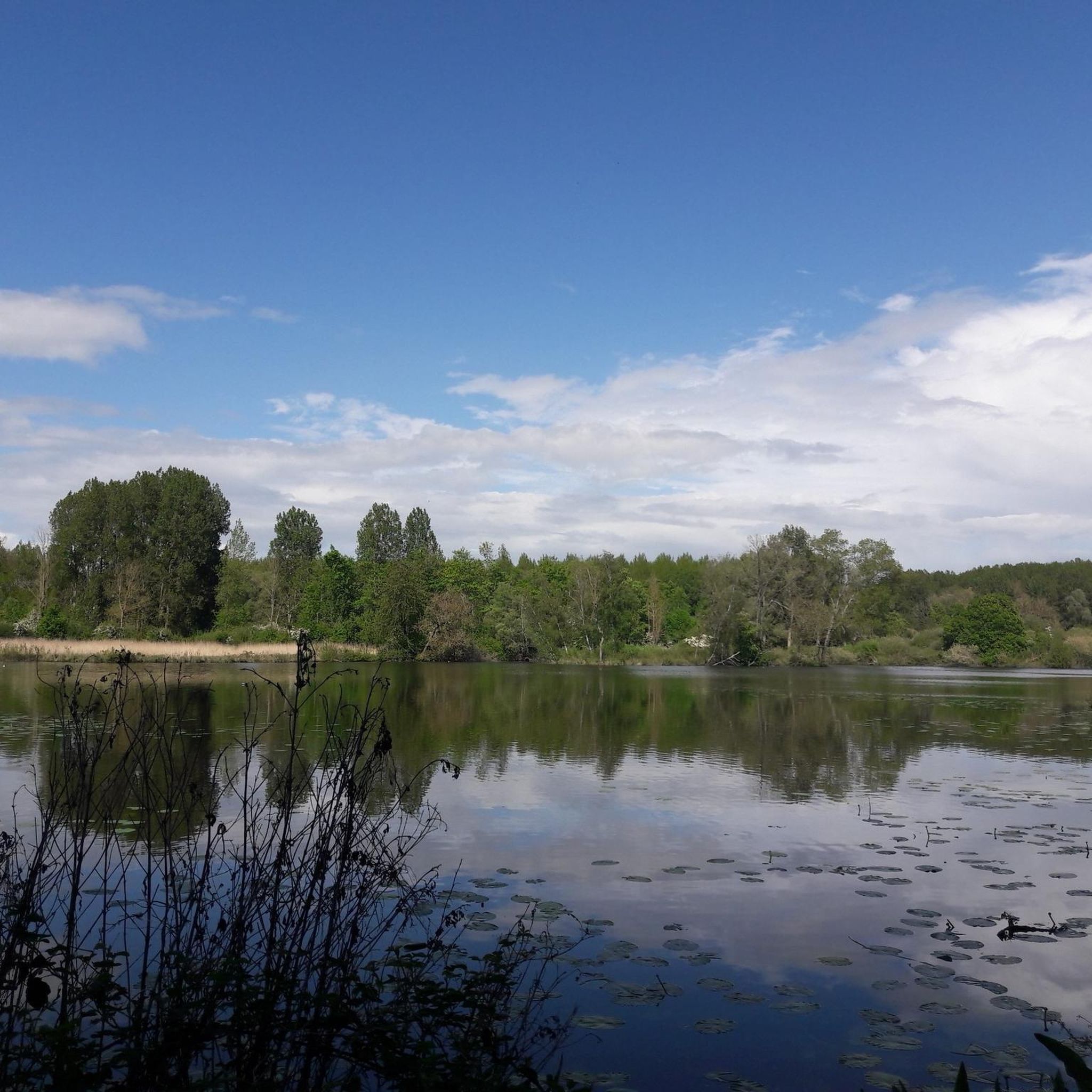
Gravel biking around Écourt-Saint-Quentin offers access to the varied landscapes of the Pas-de-Calais region, characterized by a mix of natural environments. The area features local green spaces, river valleys, and canal towpaths, providing diverse terrain for cyclists. Expansive plains, marshes, and forested sections contribute to a varied and engaging cycling experience. The regional network includes "Voies Vertes" (Greenways) and canal towpaths, which often present varied surfaces suitable for gravel bikes, from unpaved sections to loose stones and gravel.
Best gravel…
Last updated: November 3, 2026
4.2
(5)
19
riders
51.6km
02:43
100m
100m
Moderate gravel ride. Good fitness required. Mostly paved surfaces.
5.0
(1)
19
riders
99.0km
05:18
260m
260m
Hard gravel ride. Very good fitness required. Mostly paved surfaces.

5.0
(1)
9
riders
66.0km
04:26
460m
460m
Hard gravel ride. Very good fitness required. You may need to push your bike for some segments of this route.
5.0
(1)
9
riders
71.3km
04:45
490m
490m
Hard gravel ride. Very good fitness required. Mostly paved surfaces.
11
riders
45.6km
02:40
130m
130m
Moderate gravel ride. Good fitness required. Mostly paved surfaces.
Get access to more routes and recommendations from other explorers.
Already have an account?
Our route recommendations are based on thousands of hikes, rides, and runs completed by other people on komoot.
Start today with a free account
Your next adventure awaits.
Tips from the Community

World War I military cemetery, located in the municipality of Saint-Léger.
0
0
Super memorial of Arras. It's worth the detour.
0
0
A memorial that should not be missed
0
0
Splendid memorial. It is worth the detour, to the point of meeting many Canadians.
0
0


Wancourt was captured on 12 April 1917 after very heavy fighting and the advance was continued on the following days. The cemetery, called at first Cojeul Valley Cemetery, or River Road Cemetery, was opened about ten days later; it was used until October 1918, but was in German hands from March 1918 until 26 August, when the Canadian Corps recaptured Wancourt. At the Armistice, the cemetery contained 410 graves, but was very greatly increased in the following years when graves were brought in from a number of small cemeteries and isolated positions on the battlefields south-east of Arras. The cemetery now contains 1936 burials and commemorations of the First World War. 829 of the burials are unidentified but there are special memorials to 76 casualties known or believed to be buried among them, and to 20 who were buried in Signal Trench Cemetery whose graves were destroyed in later battles.
9
0
Hibers Trench Cemetery, situated just north-west of Wancourt near Arras, was begun in April 1917 by the 50th (Northumbrian) Division shortly after the area was captured by British forces at the Battle of Arras. The cemetery contains 136 graves, six of which are unidentified, and also includes three Canadian graves added later in 1918. The simple design is by G.H. Goldsmith and reflects the understated dignity of this memorial. Its position on the Wancourt-Arras road makes it a silent witness to the fierce fighting that took place here, and the presence of personal inscriptions on some of the headstones emphasises the human story behind the numbers. A place of peace, remembrance and reflection.
10
0
Tigris Lane Cemetery is located in Wancourt, near Arras, and was named after a nearby trench. The cemetery was established in May 1917 by the 14th (Light) Division, shortly after the village was captured on 12 April 1917, and reused during its recapture by the Canadian Corps in August 1918. It contains the graves of 119 First World War soldiers, nine of whom are unidentified. Most of the graves belong to British (86) and Canadian (33) soldiers, underlining the international commitment to the region. The sober design is by G.H. Goldsmith and its location close to the TGV railway line emphasises the contrasts between past and present in this quiet place of remembrance.
9
0
Frequently Asked Questions
How many gravel bike trails are available around Écourt-Saint-Quentin?
There are 14 gravel bike trails documented around Écourt-Saint-Quentin on komoot. These routes offer a variety of experiences through the region's diverse landscapes.
What kind of terrain and surfaces can I expect on gravel bike trails in this region?
The gravel bike trails around Écourt-Saint-Quentin feature varied landscapes, including local green spaces, forests, and river valleys. You'll encounter a mix of surfaces, from unpaved sections and loose stones to gravel, particularly along the regional network of "Voies Vertes" (Greenways) and canal towpaths.
Are there any easy gravel bike routes suitable for beginners or families?
While there are no routes specifically classified as 'easy' in the guide, 13 of the 14 available routes are rated as 'moderate'. These routes, often following riverbanks and canal towpaths, can be suitable for riders with some experience or families looking for a longer, less technical ride. For example, the The canalized Scarpe – Jetty on the Aubigny Marsh loop from Aubigny-au-Bac is a moderate 23.7 miles (38.2 km) trail that takes about 2 hours 39 minutes.
What are some scenic points of interest I can see along the gravel routes?
Many routes follow riverbanks and pass through marshlands, offering natural beauty. Beyond the trails, you can explore historical and natural sites. Notable points of interest include ancient megaliths like The Menhir of Lécluse or the Devil's Stone and The Big Rock. These sites add a touch of local heritage to your ride.
Are there any circular gravel bike routes available?
Yes, all the featured gravel bike routes around Écourt-Saint-Quentin are circular loops. This allows you to start and finish at the same point, making logistics easier. An example is the Biache-Saint-Vaast marshes – Scarpe riverbanks loop from Vitry-en-Artois, which explores marshlands and follows the Scarpe river.
What is the best time of year for gravel biking around Écourt-Saint-Quentin?
The region's varied landscapes, including forests and river paths, are enjoyable throughout much of the year. Spring and autumn often offer pleasant temperatures and beautiful scenery. While specific conditions vary, the presence of canal towpaths and 'Voies Vertes' suggests many routes remain accessible outside of extreme weather, though checking local weather conditions is always recommended.
What do other gravel bikers say about the trails in Écourt-Saint-Quentin?
The gravel biking routes in Écourt-Saint-Quentin are highly rated by the komoot community, with an average score of 4.4 stars from over 19 reviews. Riders often praise the diverse terrain, the peaceful green spaces, and the opportunities to explore riverbanks and marsh areas.
Are there any challenging gravel bike routes for experienced riders?
While most routes are rated 'moderate', there is one route classified as 'difficult' among the 14 available. This offers a greater challenge for experienced gravel bikers looking for more demanding terrain or longer distances. The moderate routes themselves can also be challenging depending on weather conditions and personal fitness levels.
Can I bring my dog on the gravel bike trails?
The region features many natural areas, including forests and river paths. While specific regulations for dogs on trails can vary, generally, dogs are welcome on public paths if kept on a leash. It's always advisable to check local signage or specific park rules for the areas you plan to visit to ensure a pleasant experience for everyone.
Are there any routes that explore marshlands or riverbanks?
Yes, many of the gravel routes in the area specifically highlight these natural features. For instance, the Bassin Rond – Marais des Courbettes loop from Aubigny-au-Bac navigates through varied terrain, including marsh areas, and the The Scarpe by bike – Scarpe riverbanks loop from Pelves follows the banks of the Scarpe river.
How long are the gravel bike trails around Écourt-Saint-Quentin?
The gravel bike trails vary in length, catering to different preferences. For example, the Fampoux - Canalized Scarpe – The Scarpe by bike loop from Pelves is 32.0 miles (51.5 km) long, while others can be shorter or longer. You can find routes ranging from moderate distances to longer excursions, typically taking a few hours to complete.
Most popular routes around Écourt-Saint-Quentin
Most popular attractions around Écourt-Saint-Quentin

Get inspired with the komoot mobile app


Explore more
Browse the best Gravel rides in other regions.
