The best gravel rides around Retschweiler
4.8
(8)
112
riders
26
rides
Gravel biking around Retschweiler offers a diverse landscape characterized by rolling hills, verdant river valleys, and extensive forested sections. The region features a network of varied paths suitable for gravel bikes, connecting natural features and cultural elements. Elevations can reach over 1,100 meters, providing challenging climbs and descents across its varied terrain. This topography ensures a mix of challenging climbs and more level sections, catering to different fitness levels.
Best gravel bike trails around Retschweiler
- The most popular gravel bike…
Last updated: July 3, 2026
4.0
(1)
25
riders
82.9km
05:24
1,080m
1,080m
Hard gravel ride. Very good fitness required. You may need to push your bike for some segments of this route.
5.0
(1)
9
riders
51.4km
03:28
730m
730m
Hard gravel ride. Very good fitness required. Mostly paved surfaces. Suitable for all skill levels.

Sign up for free
9
riders
65.3km
04:21
820m
820m
Hard gravel ride. Very good fitness required. You may need to push your bike for some segments of this route.
5
riders
Hard gravel ride. Very good fitness required. You may need to push your bike for some segments of this route.
5
riders
40.4km
03:08
550m
550m
Hard gravel ride. Very good fitness required. Mostly paved surfaces. Suitable for all skill levels.
Get access to more routes and recommendations from other explorers.
Sign up for free
Already have an account?
Our route recommendations are based on thousands of hikes, rides, and runs completed by other people on komoot.
Start today with a free account
Your next adventure awaits.
Login or Signup
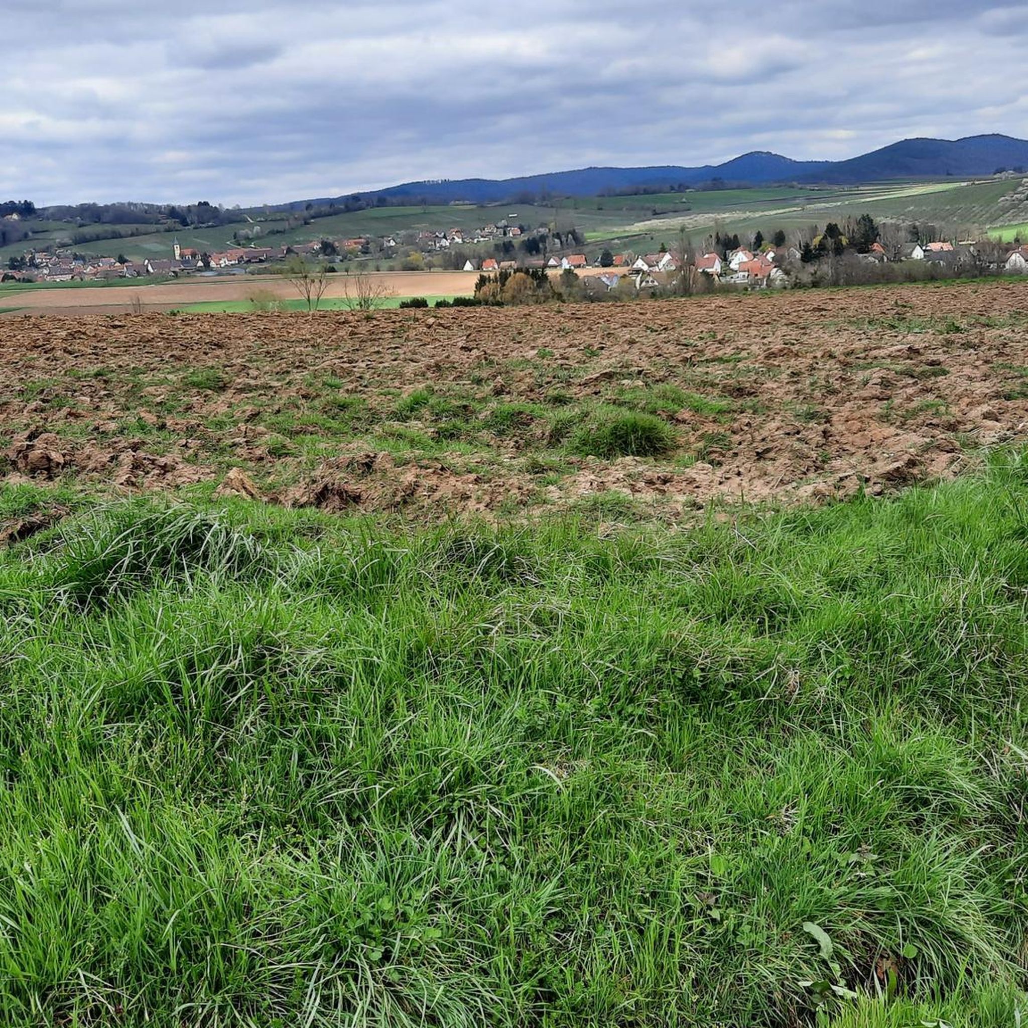
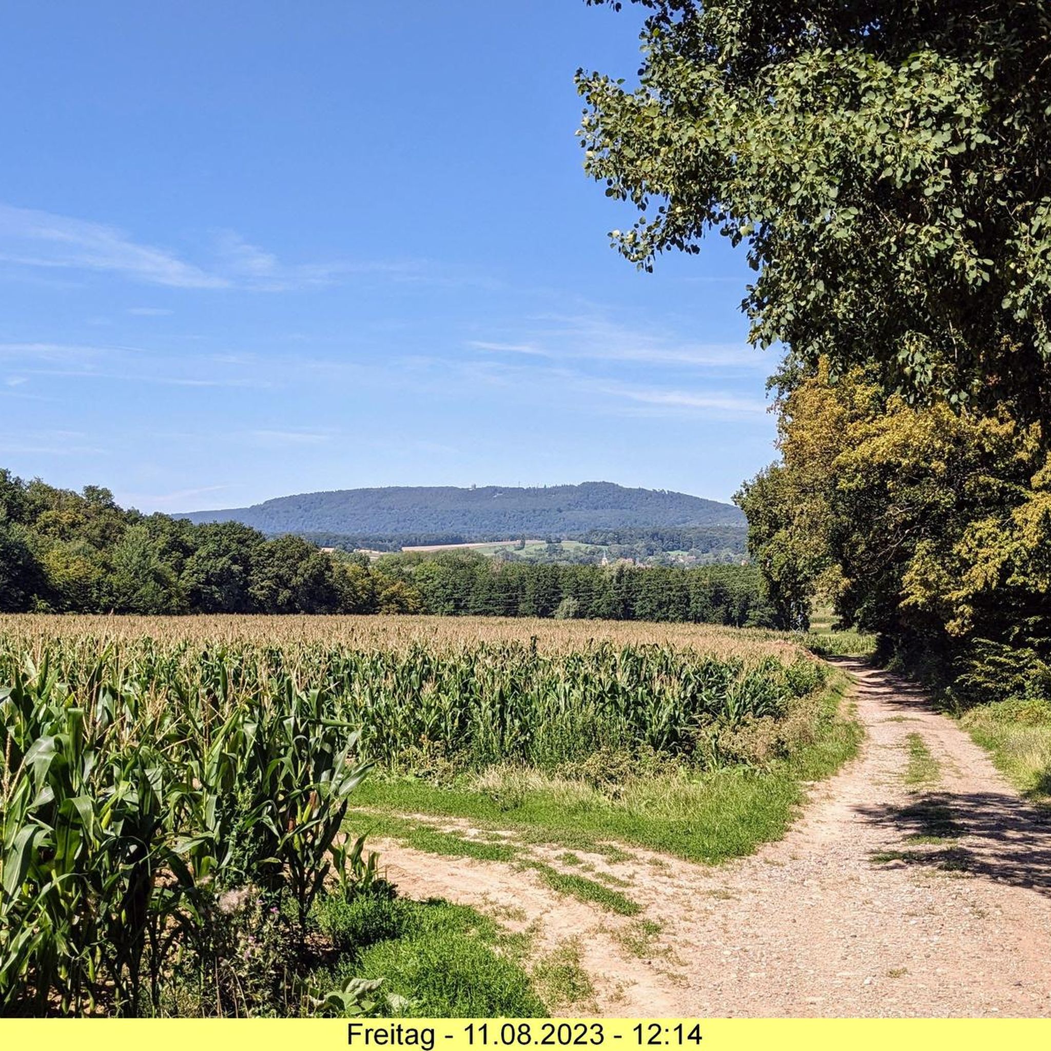
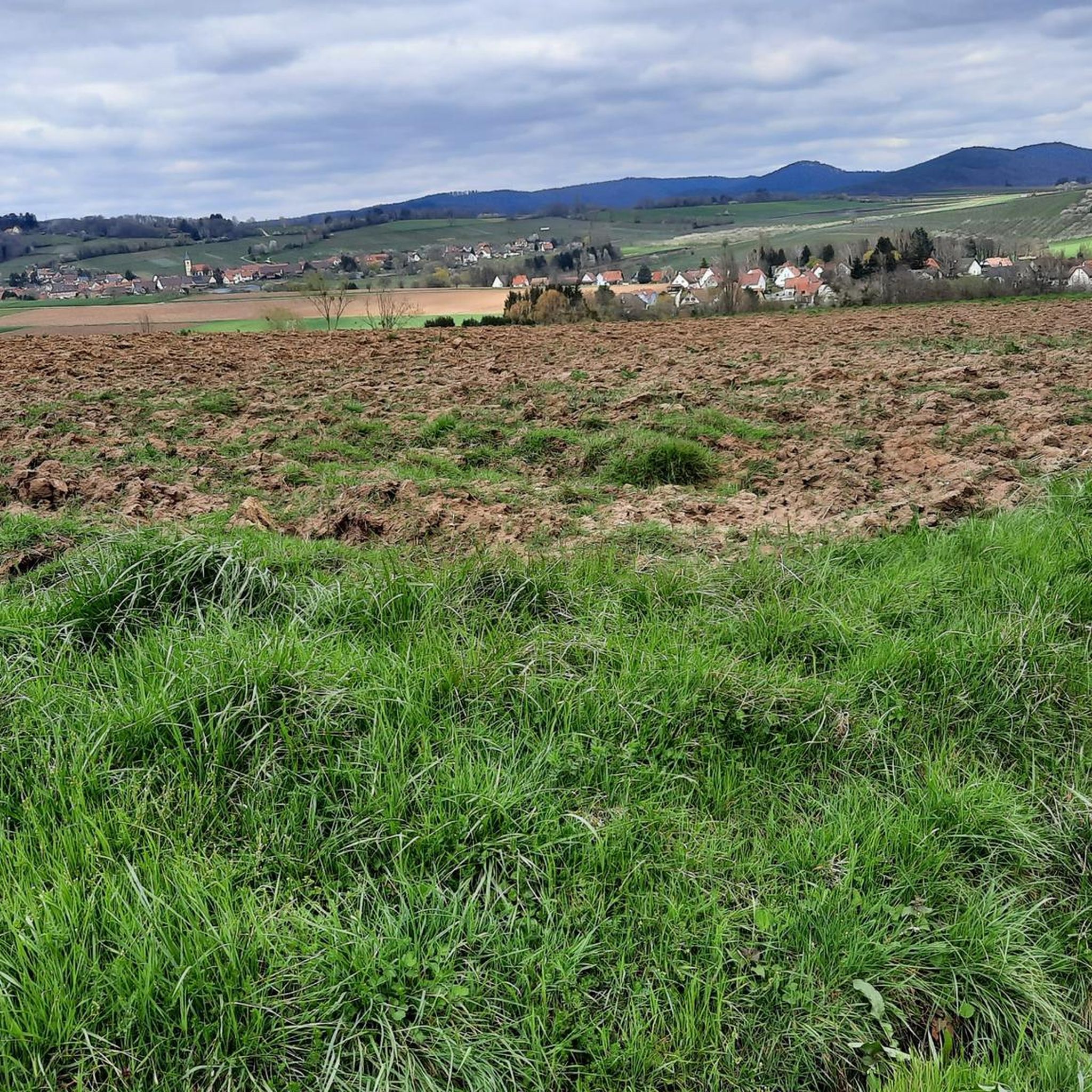
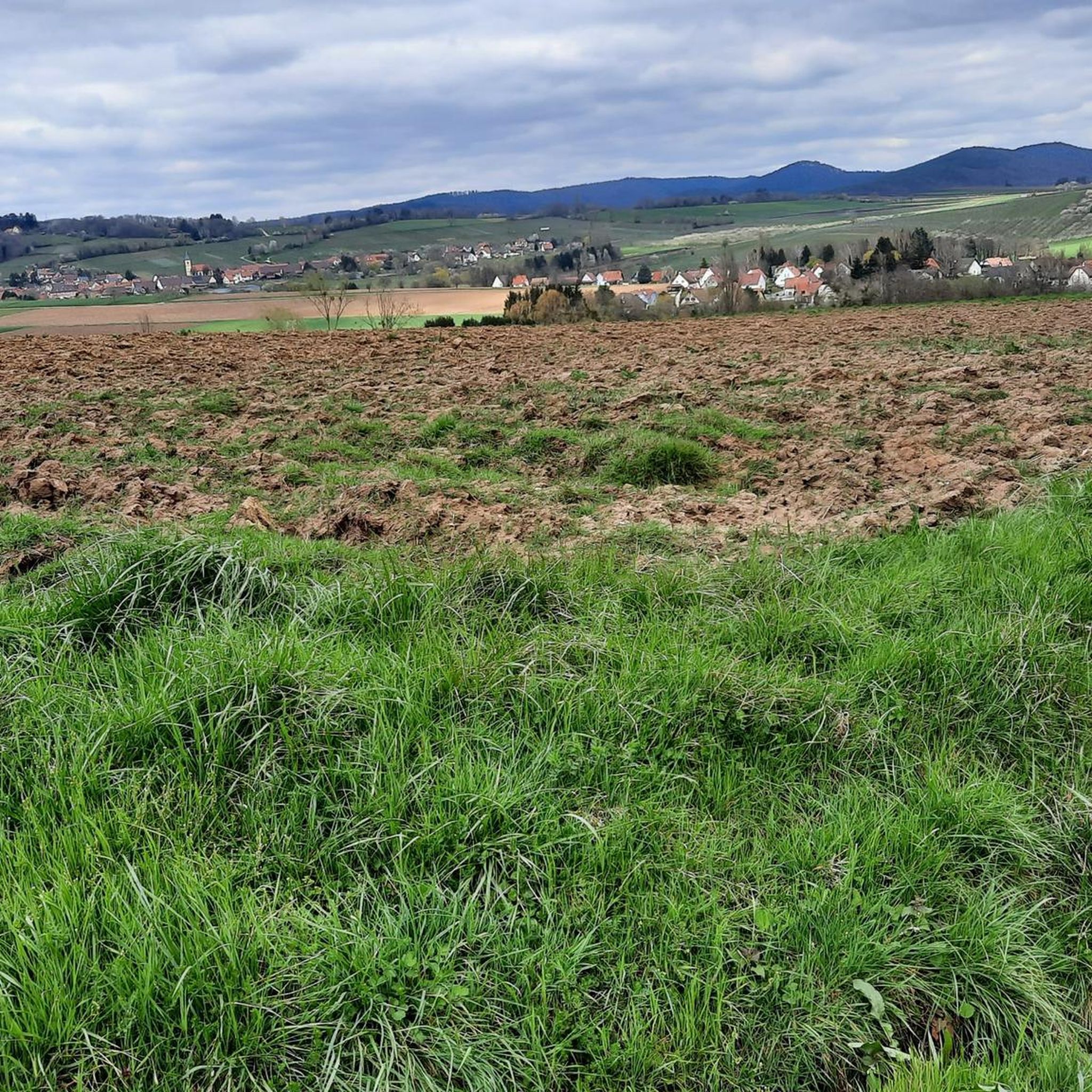
Tips from the Community


Lion eats eagle on a spit. On the pedestal, plaques were obviously removed.
0
0


A very impressive lion in the landscape
0
0
Great view, interesting architecture.
0
0
The surrounding area is very scenic, with many historical buildings.
0
0
Frequently Asked Questions
How many gravel bike trails are available around Retschweiler?
Retschweiler offers a network of over 40 gravel bike trails. While many are challenging, there are also options for moderate and easy rides, catering to various skill levels.
Are there any easy gravel bike routes for beginners in Retschweiler?
Yes, while the region is known for its more challenging routes, there is at least one easy gravel bike trail available. The overall network includes a few moderate options as well, which can be suitable for beginners looking for a slightly longer ride.
What kind of terrain can I expect on gravel bike trails near Retschweiler?
The terrain around Retschweiler is diverse, featuring extensive forest paths, open sections, and rolling hills. You should expect significant elevation changes, with some routes climbing over 1,100 meters, offering both challenging ascents and rewarding descents.
Are there any circular gravel bike routes in the Retschweiler area?
Many of the gravel bike routes around Retschweiler are designed as loops. For example, the difficult 50.5-mile (81.3 km) Wissembourg – View of the Lauter loop from Lembach offers extensive views and a full circular experience.
What are some notable viewpoints along the gravel bike trails?
The region offers several routes with excellent viewpoints. The Elsasshausen Memorial Tower – Soultzerkopf Viewpoint loop from Soultz-sous-Forêts is a great option, leading you past the Soultzerkopf Viewpoint. You can also find scenic spots along the View of the Lauter – Lauter loop from Riedseltz.
Can I find places to stop for refreshments or cafes along the gravel routes?
While specific cafe stops are not always marked on every trail, many routes pass through or near small towns and villages where you can find opportunities for refreshments. Planning your route in advance and checking for amenities in towns like Lembach or Climbach is recommended.
What is the best time of year for gravel biking in Retschweiler?
Spring and autumn generally offer the most pleasant conditions for gravel biking in Retschweiler, with milder temperatures and beautiful scenery. Summer can also be enjoyable, though some routes might be more exposed to the sun. Winter riding is possible, but trails may be muddy or icy, especially at higher elevations.
Are there any historical sites or natural monuments to see along the trails?
Yes, the region is rich in both natural and historical points of interest. You can explore the Jaegerthal – Ruins of the Jaegerthal forge loop from Climbach, which passes historical sites. Additionally, highlights like the Soultzerkopf Hut and Schuhfels Rock Carvings are accessible in the wider area.
What do other gravel bikers say about the trails in Retschweiler?
The gravel biking routes in Retschweiler are highly regarded by the komoot community, with an average rating of 4.4 stars from over 30 reviews. Riders often praise the diverse terrain, challenging climbs, and the extensive network of forest paths that define the region.
Is public transport an option for accessing gravel bike trails in Retschweiler?
Public transport options to specific trailheads in Retschweiler can be limited, as many routes start from smaller villages or more remote locations. It's advisable to check local bus or train schedules for connections to towns near your chosen starting point, but often, driving to a trailhead is more convenient.
Where can I find parking for gravel biking routes in Retschweiler?
Parking is typically available in the villages and towns where many of the routes begin. For instance, if you're starting a loop from Rott or Climbach, you'll usually find designated parking areas. Always check local signage for parking regulations.
Are there any long-distance gravel bike routes for experienced riders?
Absolutely. Retschweiler is well-suited for experienced riders seeking longer distances and significant elevation. The Lauter Cycle Path – Bride and Groom (Dahn) loop from Rott is a challenging 29.3-mile (47.1 km) route with substantial elevation gain, perfect for a longer adventure.
Most popular routes around Retschweiler
Most popular attractions around Retschweiler

Get inspired with the komoot mobile app


Explore more
Browse the best Gravel rides in other regions.
