The best gravel rides around Hautecour
4.3
(17)
111
riders
24
rides
Gravel biking around Hautecour features routes that navigate a landscape characterized by significant elevation changes and the presence of large lakes and river valleys, such as Lake Vouglans and the Ain river. The region's terrain includes a mix of forest paths and open sections, offering varied surfaces for gravel cyclists. These routes often involve sustained climbs and descents, providing a challenging experience for those seeking advanced gravel biking in Hautecour. The area's geography is shaped by its proximity to the…
Last updated: May 22, 2026
3.3
(3)
38
riders
45.4km
03:20
710m
710m
Hard gravel ride. Very good fitness required. Mostly paved surfaces. Suitable for all skill levels.
4.0
(2)
27
riders
29.3km
02:05
460m
460m
Hard gravel ride. Very good fitness required. Mostly paved surfaces. Suitable for all skill levels.

Sign up for free
4.5
(2)
8
riders
Hard gravel ride. Very good fitness required. Mostly paved surfaces. Suitable for all skill levels.
4.7
(3)
7
riders
43.4km
03:08
680m
680m
Hard gravel ride. Very good fitness required. Mostly paved surfaces. Suitable for all skill levels.
5.0
(1)
3
riders
13.8km
00:59
200m
210m
Moderate gravel ride. Good fitness required. Mostly paved surfaces. Suitable for all skill levels.
Get access to more routes and recommendations from other explorers.
Sign up for free
Already have an account?
Our route recommendations are based on thousands of hikes, rides, and runs completed by other people on komoot.
Start today with a free account
Your next adventure awaits.
Login or Signup
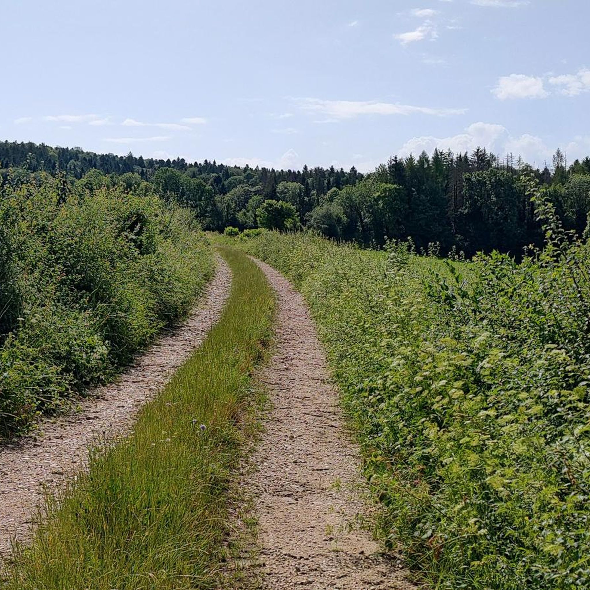
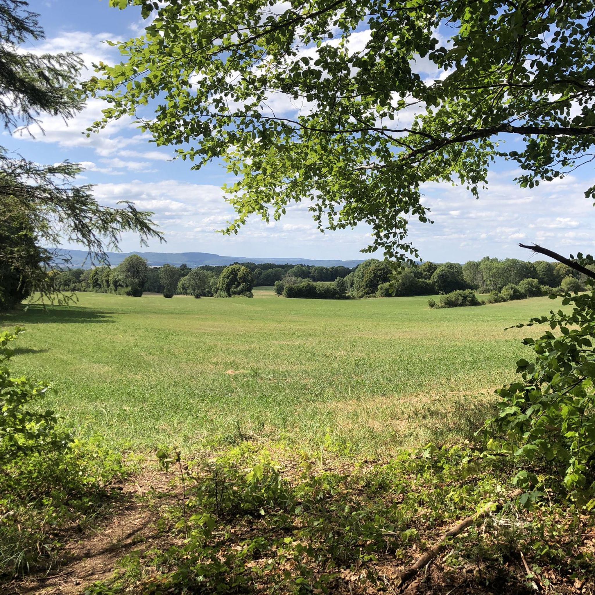
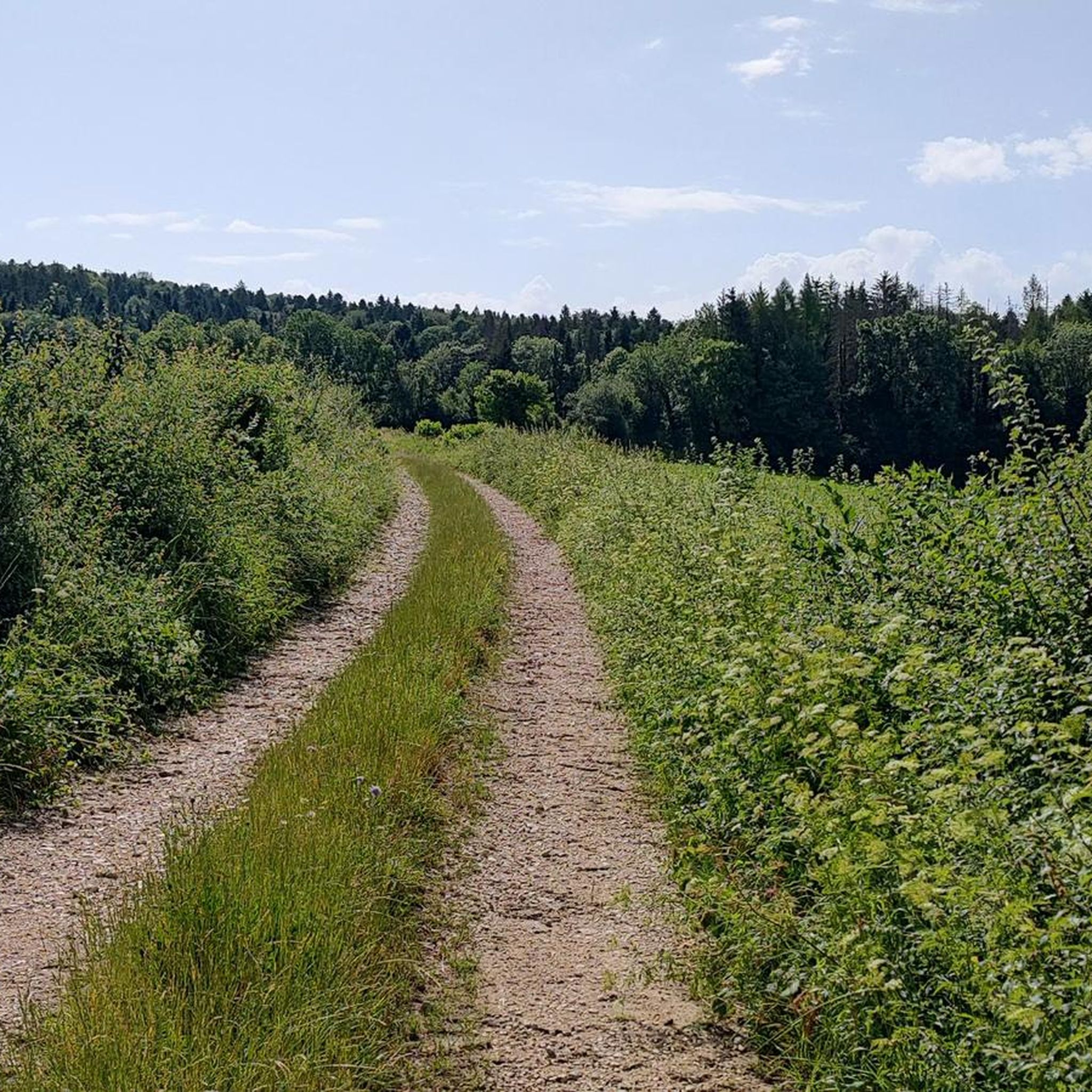
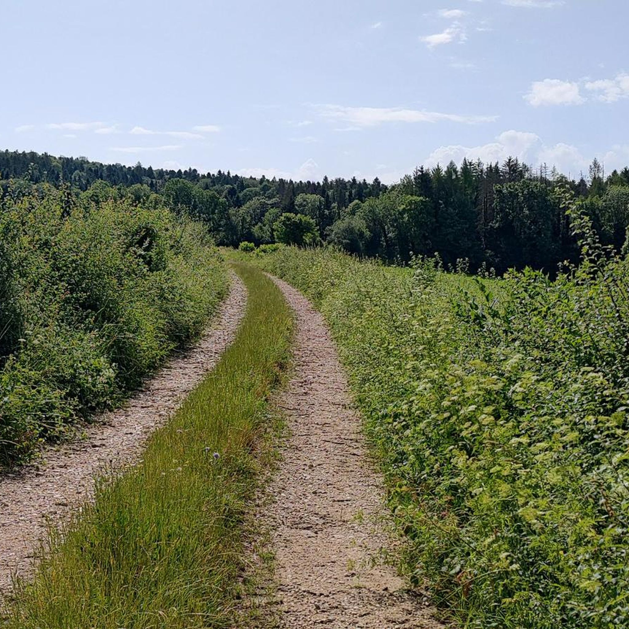
Tips from the Community


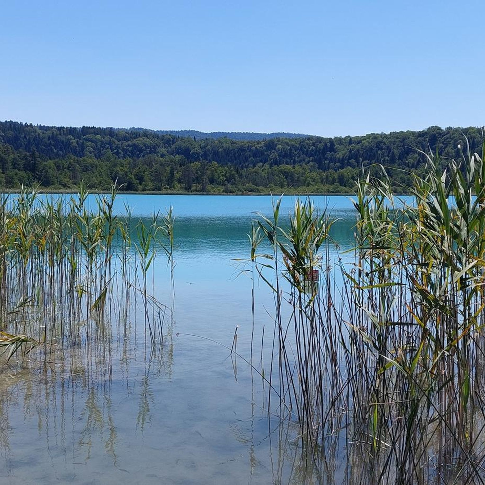
The Saut de la Saisse is a waterfall in France located in the Jura massif, at the point where the Ain river flows into the Vouglans reservoir at Pont-de-Poitte and Patornay, between Lons-le-Saunier and Clairvaux-les-Lacs. A "marmite du diable", "marmite de géant" or "marmite glaciaire" in Switzerland (or simply "marmite" or "chaudron") is a more or less cylindrical natural cavity carved into the rock by ancient, generally torrential watercourses, carrying pebbles or gravel, which promotes swirling erosion (a phenomenon called "marmitage").
0
0
A short, fun 7km outing without any major difficulty, before a delicious plate of frogs or trout at the waterfall restaurant. Book now!
0
0


Unfortunately the stones are not always easy to see, today I had a lot of water.
0
0
Great view of the Ain, this is where the Lac de Vouglans begins. When the water level is high, the stones are of course not so easy to see.
0
0
Frequently Asked Questions
What is the general difficulty level of gravel biking routes around Hautecour?
Gravel biking around Hautecour is characterized by significant elevation changes, with many routes categorized as difficult. Out of 26 available routes, 16 are considered difficult and 10 are moderate, making it a challenging area best suited for experienced gravel bikers.
Are there any beginner-friendly gravel bike trails in Hautecour?
The terrain around Hautecour, influenced by the Jura mountains, features sustained climbs and descents. While there are no routes specifically classified as easy, there are 10 moderate routes that might be suitable for riders with some gravel biking experience looking for a less intense challenge than the difficult trails.
What kind of scenery can I expect on gravel bike rides in Hautecour?
The routes offer diverse scenery, including large lakes like Lake Vouglans and Lake Clairvaux-les-Lacs, as well as river valleys such as the Ain. You'll also navigate through a mix of forest paths and open sections, providing varied surfaces and picturesque views of the surrounding natural landscape.
Are there any gravel bike routes that feature views of Lake Vouglans?
Yes, several routes offer stunning views of Lake Vouglans. For example, the Stunning view of the lake – View of Lake Vouglans loop from Boissia is a popular option that specifically highlights the lake. Another route, the Vouglans Dam – View of Lake Vouglans loop from Pont-de-Poitte, also leads through the area of Lake Vouglans.
What are the typical lengths and durations for gravel bike trails in Hautecour?
The gravel bike trails in Hautecour vary in length and duration. You can find routes ranging from approximately 18 miles (29 km) to over 41 miles (66 km). Durations typically range from around 3 hours to over 4 hours, depending on the route's length and elevation gain.
What is the best time of year for gravel biking in Hautecour?
The best time for gravel biking in Hautecour is generally from spring through autumn. During these seasons, the weather is more favorable, and the varied forest paths and open sections are most enjoyable. The region's proximity to the Jura mountains means winters can be challenging with snow and ice.
What should I bring for a gravel bike ride in Hautecour?
Given the significant elevation changes and varied terrain, it's advisable to bring appropriate gear for challenging rides. This includes sufficient water and snacks, a repair kit, navigation tools (like komoot's app), and layers of clothing suitable for changing weather conditions in a mountainous region. A helmet is essential.
Are there any notable natural attractions or landmarks along the gravel routes?
Yes, the region is rich in natural beauty. You can find several lakes, such as Lake Ilay, Abbey Lake, and Lake Bonlieu. The area also features impressive waterfalls like Le Grand Saut, Fan Waterfall, and the famous The Hérisson Waterfalls, which can be explored as nearby highlights.
What do other gravel bikers say about the trails in Hautecour?
The gravel biking routes in Hautecour are highly rated by the komoot community, with an average score of 4.1 stars from over 19 reviews. Many of the 128 gravel bikers who have explored the area praise the varied terrain, challenging climbs, and the beautiful lake and river valley views.
Are there any loop trails available for gravel biking in Hautecour?
Yes, many of the gravel bike routes around Hautecour are designed as loops, offering convenient starting and ending points. Examples include the Lac de Clairvaux-les-Lacs – Pyle Bridge loop from Clairvaux-les-Lacs and the View of the Ain at Pont-de-Poitte – Route d'Étival loop from Pont-de-Poitte, allowing you to return to your starting location without retracing your path.
Where can I find parking for gravel biking near Hautecour?
Parking is generally available at the designated starting points for many of the routes, particularly in towns like Clairvaux-les-Lacs, Boissia, and Pont-de-Poitte. It's always a good idea to check the specific tour details on komoot for parking recommendations at the trailhead.
Are there any routes that explore the area around the Ain river?
Yes, the region's geography is shaped by the Ain river valley. The View of the Ain at Pont-de-Poitte – Route d'Étival loop from Pont-de-Poitte is a great option that allows you to experience the beauty of the Ain river.
Most popular routes around Hautecour
Most popular attractions around Hautecour

Get inspired with the komoot mobile app


Explore more
Browse the best Gravel rides in other regions.
