The best gravel rides around Goldbach-Altenbach
4.7
(23)
320
riders
45
rides
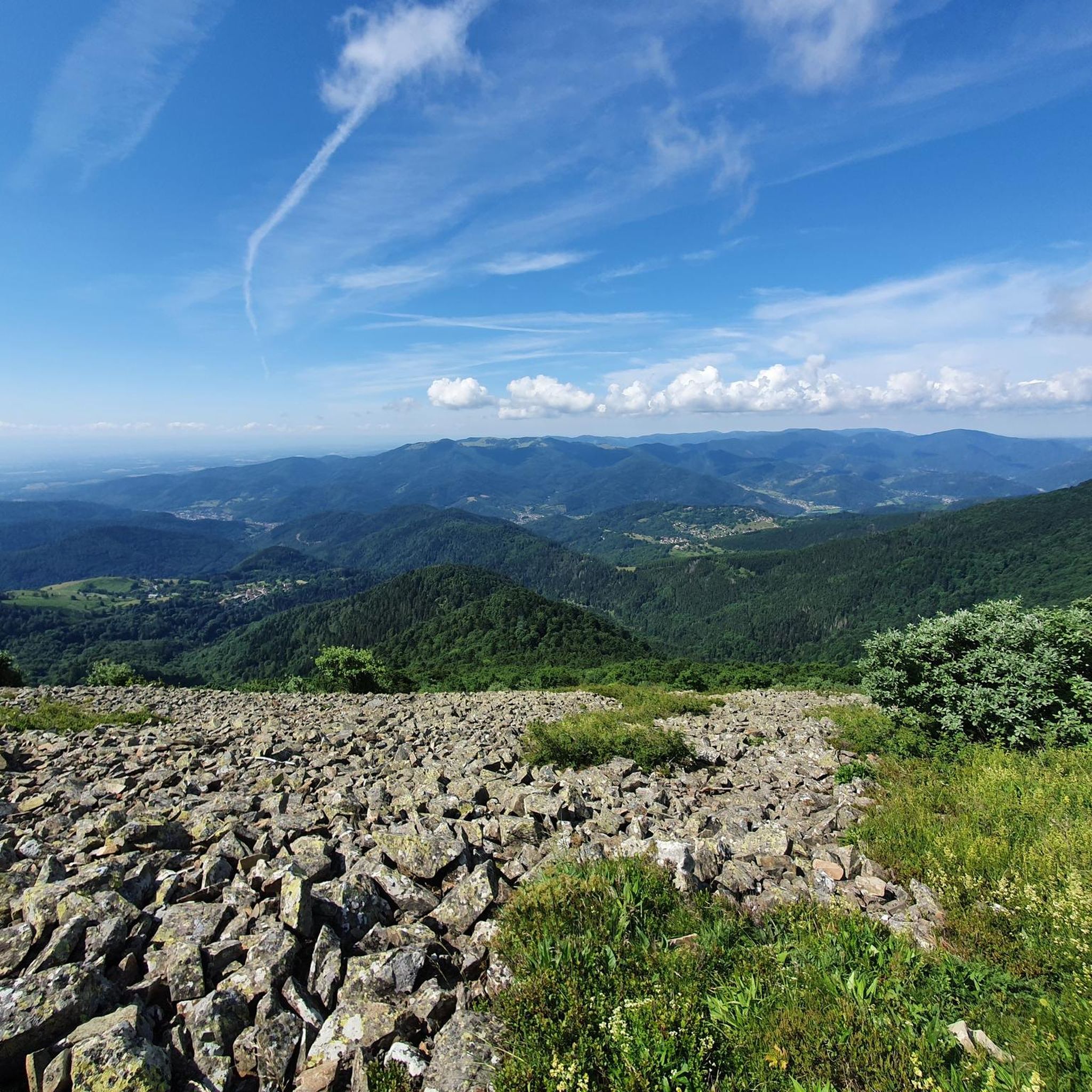
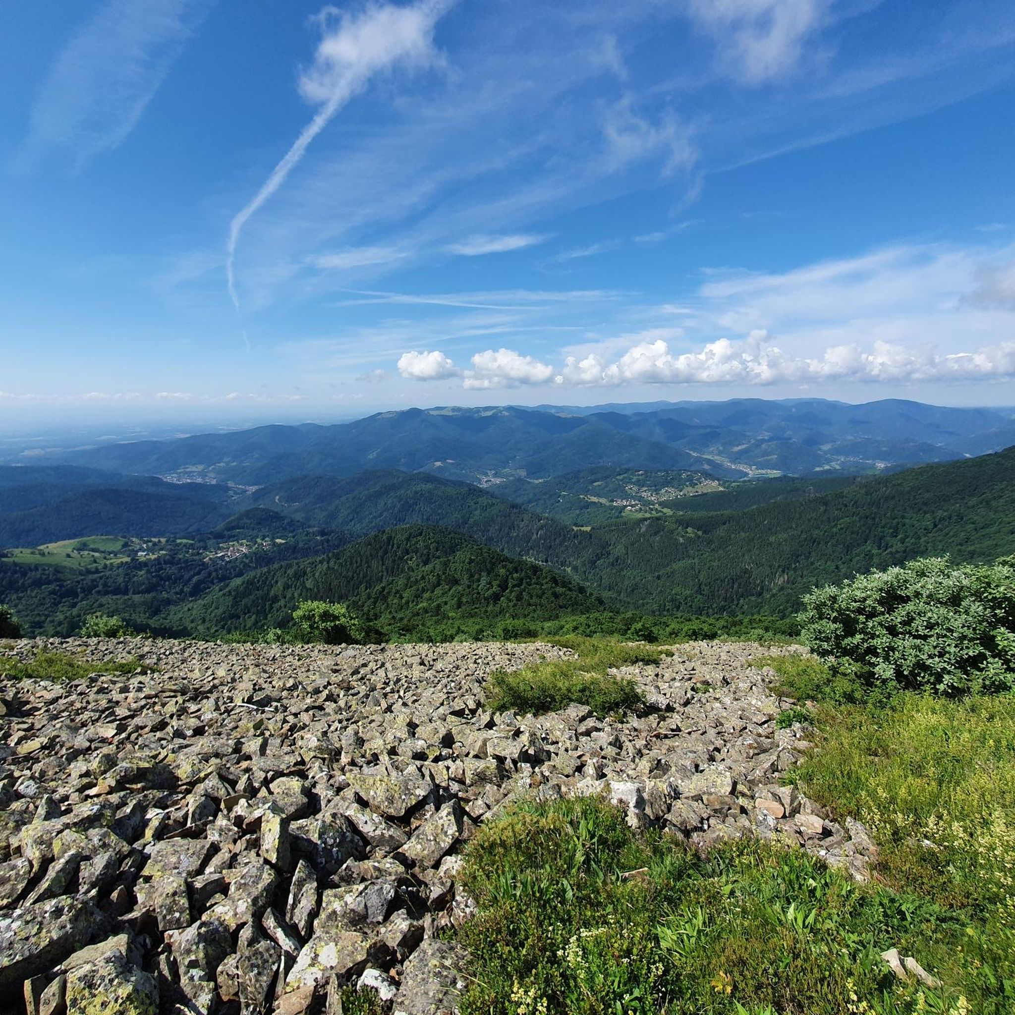
Gravel biking around Goldbach-Altenbach offers a diverse landscape within the Ballons des Vosges Regional Nature Park. The region is characterized by its proximity to the Vosges mountains, featuring significant elevation changes and extensive forest areas. Riders can expect challenging climbs and descents on varied surfaces, often traversing through dense woodlands and along mountain passes. The terrain provides opportunities for advanced gravel biking, with routes that test endurance and technical skill.
Best gravel bike trails around Goldbach-Altenbach
- The most popular gravel bike trail is Markstein – View of the Vosges Mountains loop from Grand Ballon, a 44.8 miles (72.1 km) trail that takes 6 hours 16 minutes to complete. This difficult route features substantial elevation gain through mountainous terrain.
- Another top favourite among local gravel bikers is Grand Ballon – Col Amic Pass loop from Steinbach, a difficult 32.8 miles (52.7 km) path. This route offers panoramic views and challenging climbs through the higher elevations of the region.
- Local gravel bikers also love the Col Amic Pass – Climb to Grand Ballon loop from Wattwiller, a 22.2 miles (35.7 km) trail leading through mountain passes and forests, often completed in about 2 hours 55 minutes.
- Gravel biking around Goldbach-Altenbach is defined by challenging mountain passes, dense woodlands, and significant elevation changes. The network offers options primarily for advanced riders seeking demanding routes.
- The routes in Goldbach-Altenbach are highly rated by the komoot community with an average score of 4.5 stars from over 14 reviews. More than 190 gravel bikers have used komoot to explore Goldbach-Altenbach's varied terrain.
Last updated: July 3, 2026
5.0
(3)
56
riders
55.5km
03:57
1,220m
1,220m
Hard gravel ride. Very good fitness required. Mostly paved surfaces. Suitable for all skill levels.
5.0
(2)
14
riders
16.1km
01:22
530m
530m
Hard gravel ride. Very good fitness required. Mostly paved surfaces. Suitable for all skill levels.

Sign up for free
8
riders
27.4km
02:14
710m
710m
Hard gravel ride. Very good fitness required. Mostly paved surfaces. Suitable for all skill levels.
5.0
(1)
9
riders
20.1km
01:40
630m
630m
Hard gravel ride. Very good fitness required. Mostly paved surfaces. Suitable for all skill levels.
9
riders
72.3km
06:17
1,910m
1,910m
Hard gravel ride. Very good fitness required. Mostly paved surfaces. Suitable for all skill levels.
Get access to more routes and recommendations from other explorers.
Sign up for free
Already have an account?
Our route recommendations are based on thousands of hikes, rides, and runs completed by other people on komoot.
Start today with a free account
Your next adventure awaits.
Login or Signup
Tips from the Community

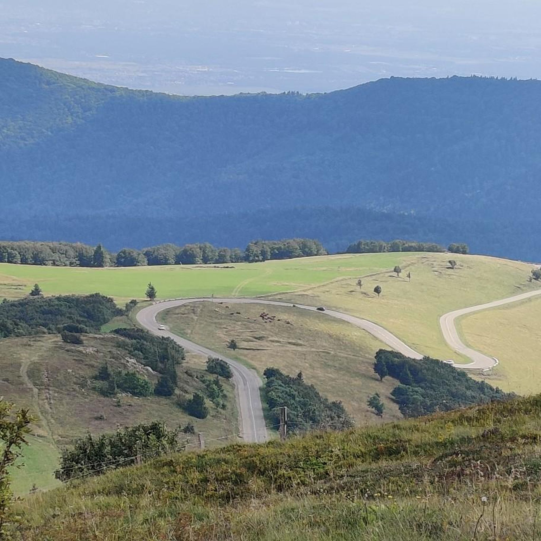
Lovingly nicknamed "the Autobahn" by me, it leads from Geishouse up to the Col du Haag, and is designed so that there is rarely a gradient over 10%. The Tour de France also rides up here 😬
0
0

Great bike path, best asphalt, steep ramps
0
0


Great climb - a must for every road cyclist
0
0

It's a dedicated cycle path with a good surface and road markings. There are no cars, despite the winding road. It's a great ride for both ascents and descents, and the scenery is beautiful.
0
0

The artificially created, yet idyllically situated "Lac de la Lauch" lake is featured in the komoot system not only for joggers, but also as a highlight for various sports, including hikers, with many more photos uploaded there. If you're interested, see =>>https://www.komoot.com/de-de/highlight/308200
0
0

The Col de Herrenfluh is located at an altitude of 837 metres in the Vosges, between Uffholtz and Wattwiller. The summit is located along the Route des Crêtes and offers magnificent views over the Rhine Valley and the surrounding forests. Nearby are the ruins of the Château du Herrenfluh, which was once an observation post during the First World War (but difficult to reach for a cyclist).
6
0

No, swimming or bathing is not permitted in Lac de la Lauch. Located in the Vallée de la Lauch, Lac de la Lauch is a reservoir fed by the Lauchbach stream, which flows in and out. It serves as a source of drinking water. The valley, with its meltwater streams running along the mountain slopes, is relatively rich in water and features shady forests.
0
0
Frequently Asked Questions
What is the typical difficulty level of gravel bike trails in Goldbach-Altenbach?
Gravel biking in Goldbach-Altenbach is primarily suited for advanced riders. The region, characterized by its proximity to the Vosges mountains, features significant elevation changes, challenging climbs, and descents through dense woodlands and mountain passes. Out of 52 available routes, 41 are rated as difficult, with 10 moderate and only 1 easy option.
Are there any beginner-friendly gravel bike routes in Goldbach-Altenbach?
The Goldbach-Altenbach region is predominantly geared towards experienced gravel bikers due to its challenging mountainous terrain. While there is 1 easy route available, the vast majority of the 52 trails are rated as difficult or moderate, featuring substantial elevation changes and technical sections.
Where can I find challenging gravel bike routes in Goldbach-Altenbach?
Goldbach-Altenbach is an excellent destination for advanced gravel bikers seeking demanding routes. Many trails feature significant elevation gain and traverse mountainous terrain. Consider routes like the Col de Bramont – La route des crêtes loop from Grand Ballon (66.3 km, difficult) or the Markstein – Grand Ballon loop from Geishouse (64.4 km, difficult) for a true test of endurance and skill.
Are there circular gravel bike trails available in Goldbach-Altenbach?
Yes, many of the gravel bike trails in Goldbach-Altenbach are designed as loops, allowing you to start and finish at the same point. Examples include the Col Amic Pass – Climb to Grand Ballon loop from Wattwiller and the Grand Ballon – Col Amic Pass loop from Steinbach, both offering challenging rides through mountain passes and forests.
What can I see along the gravel bike trails in Goldbach-Altenbach?
The routes often pass by significant natural landmarks and viewpoints. You can expect to see prominent summits like Grand Ballon and Petit Ballon, as well as mountain passes like Markstein. There are also beautiful lakes such as Ballon Lake and Lake Lauch, and historical sites like the Hartmannswillerkopf National Monument.
What do other gravel bikers enjoy most about Goldbach-Altenbach?
The area is highly rated by the komoot community, with an average score of 4.6 stars from over 20 reviews. Riders frequently praise the challenging mountain passes, the extensive network of trails through dense woodlands, and the significant elevation changes that make for a rewarding and adventurous gravel biking experience.
Are there any less crowded gravel biking options in Goldbach-Altenbach?
While the region is popular, exploring some of the longer or more challenging routes, especially during off-peak hours or weekdays, can offer a more secluded experience. The vast network of 52 trails means you can often find quieter paths away from the most well-known sections.
What is the best time of year for gravel biking in Goldbach-Altenbach?
The best time for gravel biking in Goldbach-Altenbach is typically from late spring to early autumn (May to October). During these months, the weather is generally more stable, and the trails are clear of snow and ice, making the mountainous terrain more accessible and enjoyable. Always check local weather conditions before heading out.
Is Goldbach-Altenbach suitable for family gravel cycling?
Given the region's characteristics of significant elevation changes and a high proportion of difficult routes, Goldbach-Altenbach is generally not ideal for casual family gravel cycling with young children. Most trails require a good level of fitness and technical skill. However, families with older, experienced teenage riders might find some of the moderate routes suitable.
Are there any routes that offer panoramic viewpoints?
Yes, many routes in Goldbach-Altenbach, especially those ascending to higher elevations, offer stunning panoramic views. The Markstein – Grand Ballon loop from Geishouse is known for its panoramic vistas from the higher elevations of the region. You can also find specific viewpoints like the Viewpoint at the summit of Vieil Armand.
How many gravel bike trails are there in Goldbach-Altenbach?
There are over 50 gravel bike trails available in the Goldbach-Altenbach region, offering a wide range of options for riders. The network includes 52 distinct routes, with the majority catering to experienced cyclists due to the challenging terrain.
Can I access gravel bike routes in Goldbach-Altenbach using public transport?
While specific public transport connections directly to trailheads are not detailed, the region is part of the Vosges mountains, and some larger towns nearby may offer bus or train services. It's advisable to research local public transport options to Goldbach-Altenbach or surrounding villages and plan your route accordingly, considering the last mile to the trailhead.
Most popular routes around Goldbach-Altenbach
Most popular attractions around Goldbach-Altenbach

Get inspired with the komoot mobile app


Explore more
Browse the best Gravel rides in other regions.
