The best gravel rides around Neuweiler
4.4
(7)
41
riders
16
rides
Gravel biking around Neuweiler offers routes through the forested terrain of the Vosges mountains, characterized by numerous passes and valleys. The region features a network of forest roads and trails suitable for gravel bikes, providing varied elevation profiles. These routes often lead through dense woodlands and offer views of the surrounding landscape, with topography that includes both challenging climbs and more moderate sections. Neuweiler's location on plateaus and in river valleys provides a mix of elevations for gravel cyclists.
Best…
Last updated: July 3, 2026
5.0
(2)
9
riders
36.2km
02:46
910m
910m
Hard gravel ride. Very good fitness required. Mostly paved surfaces. Suitable for all skill levels.
5.0
(1)
6
riders
29.5km
02:22
710m
710m
Hard gravel ride. Very good fitness required. Mostly paved surfaces. Suitable for all skill levels.

Sign up for free
4.0
(2)
7
riders
43.0km
03:45
1,070m
1,070m
Hard gravel ride. Very good fitness required. Mostly paved surfaces. Suitable for all skill levels.
6
riders
22.9km
01:42
400m
400m
Moderate gravel ride. Good fitness required. Mostly paved surfaces. Suitable for all skill levels.
7
riders
46.8km
03:57
970m
970m
Hard gravel ride. Very good fitness required. Mostly paved surfaces. Suitable for all skill levels.
Get access to more routes and recommendations from other explorers.
Sign up for free
Already have an account?
Our route recommendations are based on thousands of hikes, rides, and runs completed by other people on komoot.
Start today with a free account
Your next adventure awaits.
Login or Signup
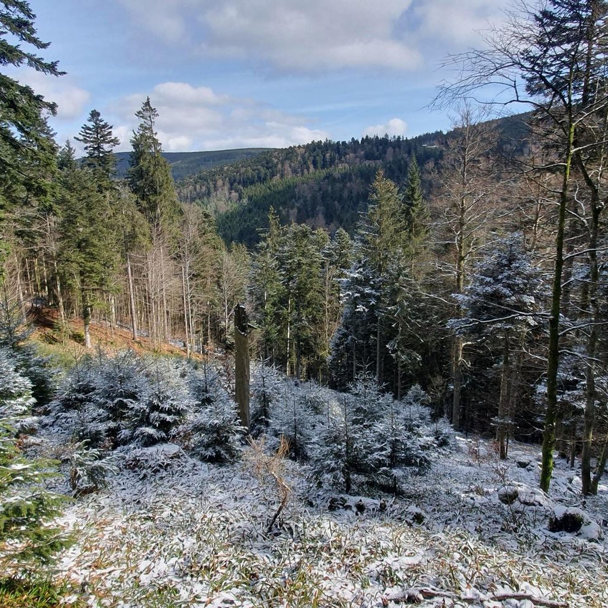
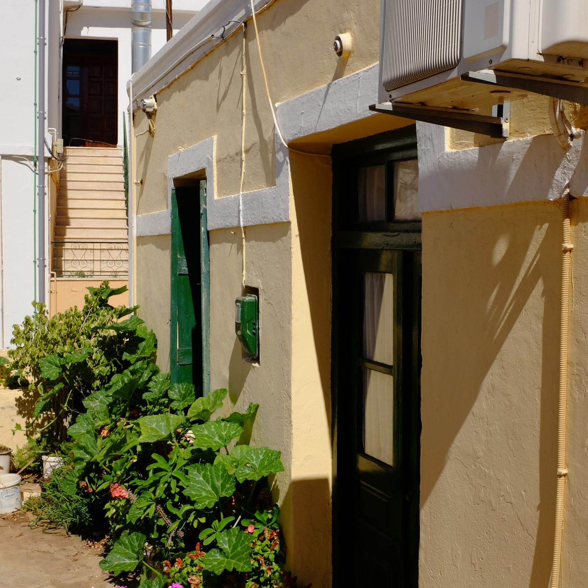
Tips from the Community

Very good place to stop for refreshments!
0
0

Champ du Feu, at 1099 meters, is the highest mountain in the Bas-Rhin department of the Vosges in Alsace. It lies between the towns of Belmont and Le Hohwald and consists of an extensive high plateau with forests, meadows, and moorlands. The area is a popular nature and recreational area. In summer, it is mainly used for hiking, mountain biking, and nature observation. In winter, there is a small ski area with cross-country trails and simple slopes for winter sports. The brook La Serva originates from Champ du Feu, later forming the Cascade de la Serva. In clear weather, the summit offers wide views over the Vosges, the Rhine plain, and as far as the Black Forest. The area is particularly known for its tranquil nature, high moors, sunrises and starry skies, as well as well-marked hiking trails.
0
0
The Champ du Feu, at 1099 meters, is the highest mountain in the Bas-Rhin department in the Vosges in Alsace. It is located between the towns of Belmont and Le Hohwald and consists of a vast plateau with forests, meadows, and moorlands. The area is a popular nature and recreational area. In summer, it is mainly used for hiking, mountain biking, and nature observation. In winter, there is a small ski area with cross-country trails and simple slopes for winter sports. From the Champ du Feu, the La Serva stream originates, which later forms the Cascade de la Serva. In clear weather, the summit offers wide views over the Vosges, the Rhine plain, and even the Black Forest. The area is particularly known for its quiet nature, high moors, sunrises and starry skies, as well as well-marked hiking trails.
0
0


The kitchen had already closed at 3 p.m. on Sunday afternoon, so there were no hot or cold food left. Only cake and ice cream, but that was good. 💲💲Cash only. 💲💲
0
0

What a magnificent tree! Unfortunately, it's a little weak on its right flank—but it still welcomes every enthusiastic visitor 🌳
0
0

Rothau played an important role in the valley's religious history, as evidenced by this 19th-century Protestant church. Admission is free.
0
0
Frequently Asked Questions
Are there gravel bike trails suitable for beginners or easy rides around Neuweiler?
While most routes around Neuweiler are rated difficult, there are a few moderate options. For example, the Col de Steige – Salcée Pass loop from Plaine is a moderate 14.2-mile (22.9 km) path that offers varied terrain through the region, making it a good choice for those looking for a less strenuous ride.
What is the typical length and duration of gravel bike trails around Neuweiler?
Gravel bike trails in the Neuweiler area vary significantly in length and duration. You can find routes ranging from about 14 miles (23 km) to over 37 miles (60 km). Depending on the distance and elevation, rides can take anywhere from 2.5 hours to nearly 5 hours to complete.
Are there any family-friendly gravel bike routes in the Neuweiler region?
The gravel bike routes around Neuweiler, situated in the Vosges mountains, are generally characterized by varied elevation profiles and forest roads, often rated as moderate to difficult. While there aren't specific 'easy' family routes listed, families with older, experienced riders might enjoy the less technical sections of the moderate trails, such as the Col de Steige – Salcée Pass loop from Plaine.
What are some of the more challenging or advanced gravel trails near Neuweiler?
For experienced gravel bikers seeking a challenge, Neuweiler offers several difficult routes. The Col de Fouchy – Haut-Koenigsbourg Castle loop from Breitenbach is a demanding 37.8-mile (60.8 km) trail with significant elevation gain, leading through mountain passes and past historical sites. Another difficult option is the Forest Road Through the Vosges – Super fun trail loop from Rothau, an 18.3-mile (29.5 km) route navigating through the Vosges mountains on forest roads.
What is the best time of year for gravel biking in Neuweiler?
The Vosges mountains, where Neuweiler is located, are best for gravel biking from late spring through early autumn (May to October). During these months, the weather is generally milder, and the forest roads are more accessible. Winter can bring snow and ice, making many trails challenging or impassable.
Are there scenic gravel bike routes around Neuweiler?
Yes, the gravel bike routes around Neuweiler are known for their scenic beauty, traversing the forested terrain of the Vosges mountains. You'll often find yourself on forest roads with views of the surrounding landscape. Routes like the Charbonnière Pass – View of Ranrupt loop from Saint-Blaise-la-Roche offer picturesque vistas and a true immersion in nature.
Are there any circular gravel bike routes available in Neuweiler?
Many of the gravel bike routes around Neuweiler are designed as loops, allowing you to start and end at the same point. Examples include the Forest Road Through the Vosges – Super fun trail loop from Rothau and the Col de Fouchy – Haut-Koenigsbourg Castle loop from Breitenbach, both offering comprehensive tours of the region's diverse terrain.
What kind of terrain can I expect on gravel bike trails in Neuweiler?
Gravel biking around Neuweiler primarily involves riding on forest roads and trails within the Vosges mountains. You can expect varied elevation profiles, including both challenging climbs over mountain passes and more moderate sections. The routes often lead through dense woodlands, providing a mix of surfaces suitable for gravel bikes.
What do other gravel bikers enjoy most about gravel biking in Neuweiler?
The gravel biking experience in Neuweiler is highly rated by the komoot community, with an average score of 4.8 stars from over 5 reviews. Riders often praise the diverse terrain, the challenging ascents, and the immersive experience of cycling through the Vosges mountains on well-maintained forest roads.
What historical sites or landmarks can I see near the gravel bike trails in Neuweiler?
The Neuweiler area is rich in history and offers several interesting landmarks. You can explore sites like Mount Sainte-Odile, the ancient Donon Temple, or the impressive Heathen Wall Loop. Additionally, the region is dotted with castles, including Andlau Castle and Rathsamhausen Castle, some of which can be seen along certain routes.
Are there any cafes or refreshment stops along the gravel bike routes in Neuweiler?
While specific cafes directly on the trails are not detailed in the route descriptions, many gravel bike routes in the Neuweiler area start or pass through small towns and villages like Rothau, Plaine, or Breitenbach. These locations typically offer opportunities for refreshments, allowing you to refuel before or after your ride.
Most popular attractions around Neuweiler

Get inspired with the komoot mobile app


Explore more
Browse the best Gravel rides in other regions.
