The best gravel rides around Bindernheim
4.6
(17)
75
riders
21
rides
Gravel biking around Bindernheim offers diverse terrain, situated between the flat Rhine plain and the wooded foothills of the Vosges mountains. The region features extensive riparian forests along the Rhine and a network of canal paths, providing varied surfaces for cycling. Cyclists can explore relatively flat routes alongside waterways or venture into more challenging forest roads within the nearby natural parks. This landscape provides a mix of natural features suitable for different gravel biking experiences.
Best gravel bike trails around…
Last updated: May 22, 2026
5.0
(4)
38
riders
Hard gravel ride. Very good fitness required. You may need to push your bike for some segments of this route.
5.0
(2)
6
riders
Easy gravel ride. Great for any fitness level. Mostly paved surfaces. Suitable for all skill levels.

Sign up for free
5.0
(2)
8
riders
Moderate gravel ride. Good fitness required. Mostly paved surfaces. Suitable for all skill levels.
5.0
(1)
5
riders
Easy gravel ride. Great for any fitness level. Mostly paved surfaces. Suitable for all skill levels.
4.8
(4)
8
riders
53.9km
02:57
100m
100m
Moderate gravel ride. Good fitness required. Mostly paved surfaces. Suitable for all skill levels.
Get access to more routes and recommendations from other explorers.
Sign up for free
Already have an account?
Our route recommendations are based on thousands of hikes, rides, and runs completed by other people on komoot.
Start today with a free account
Your next adventure awaits.
Login or Signup
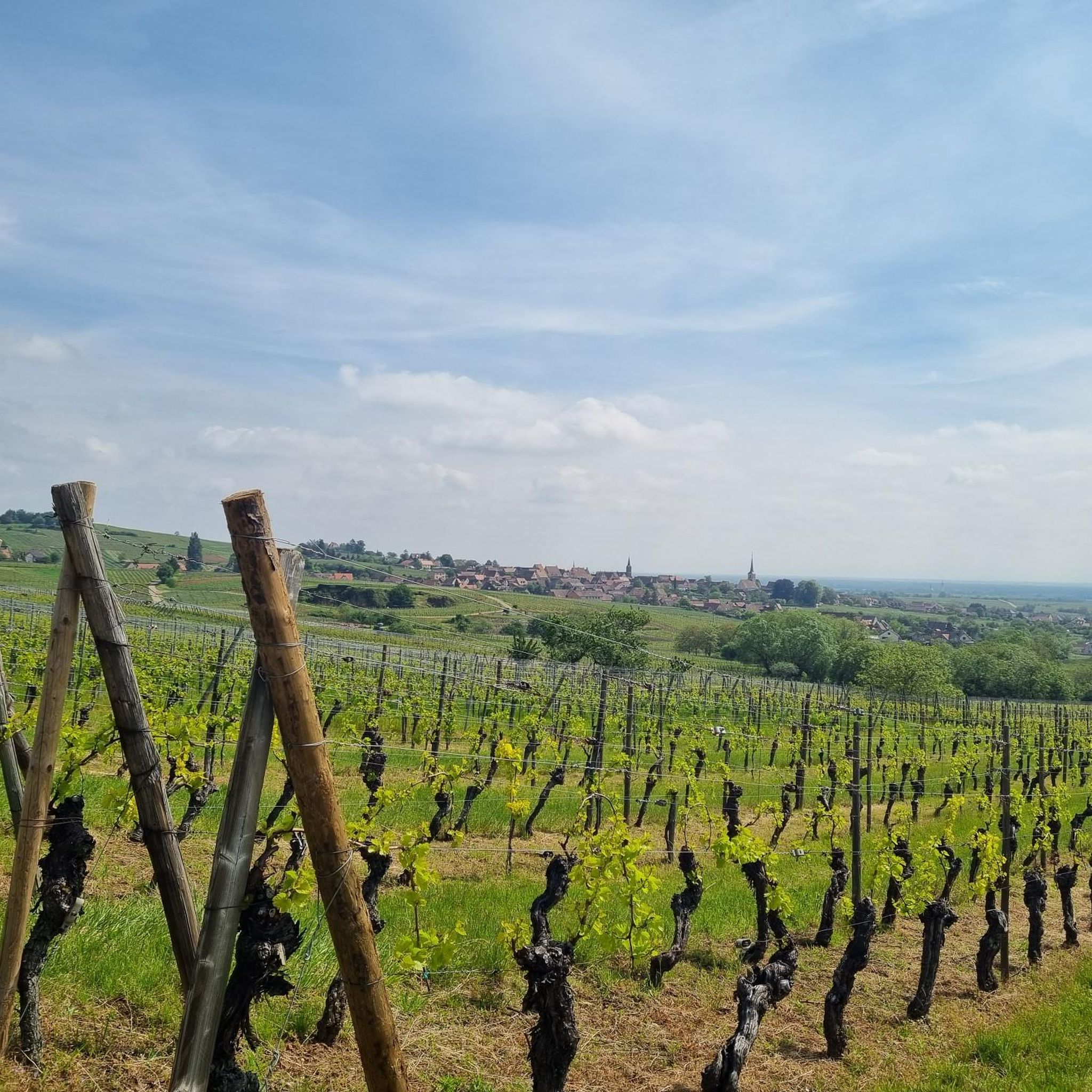
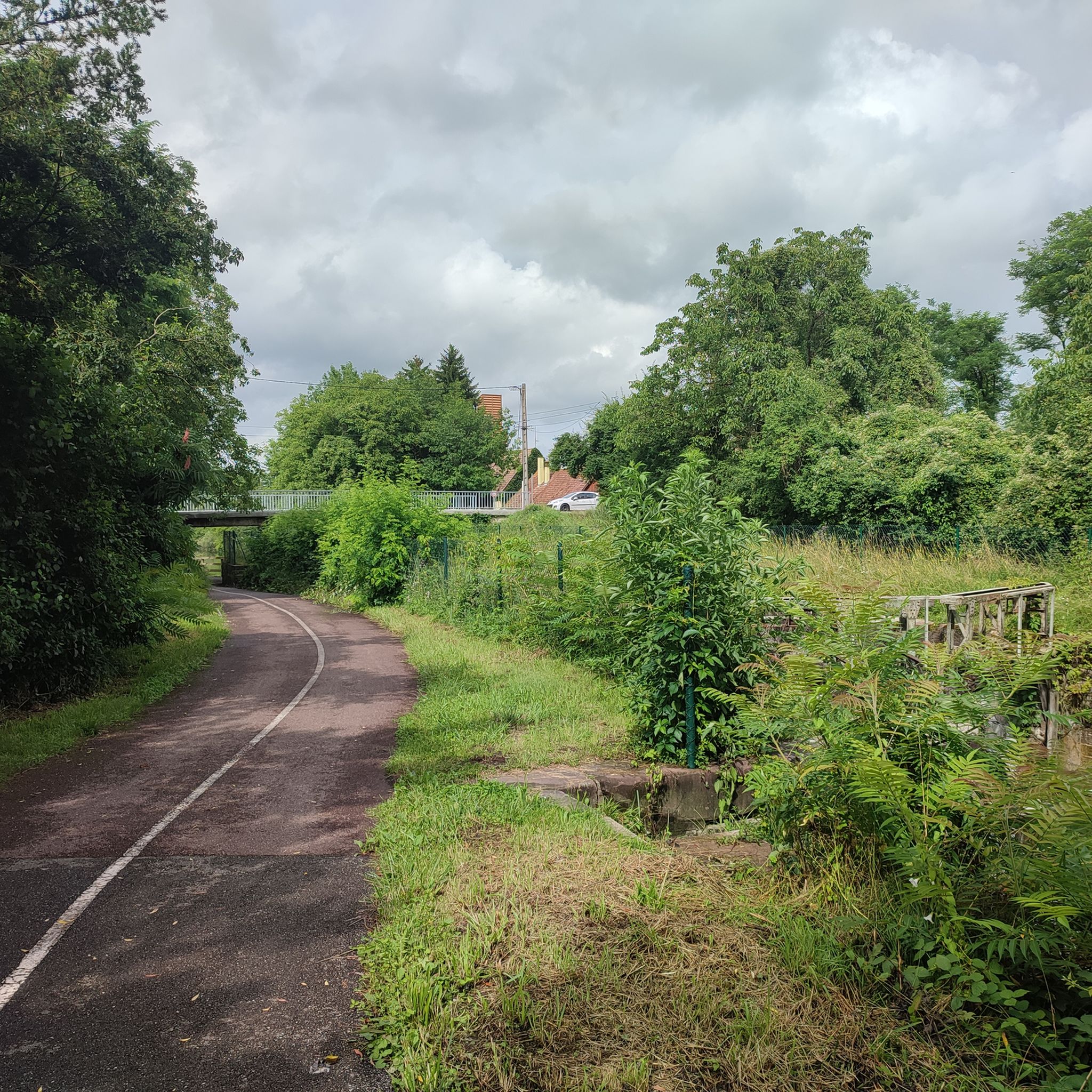
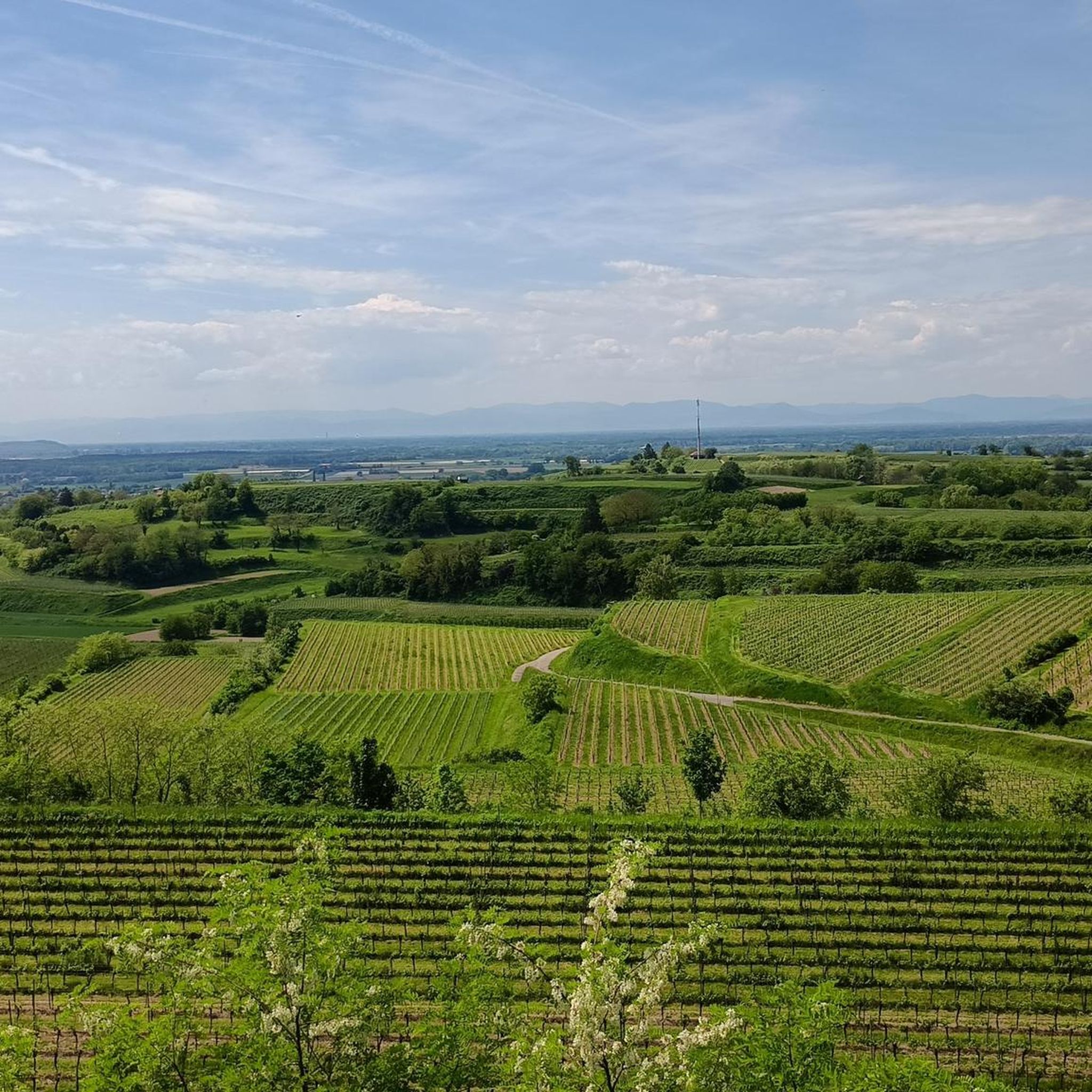
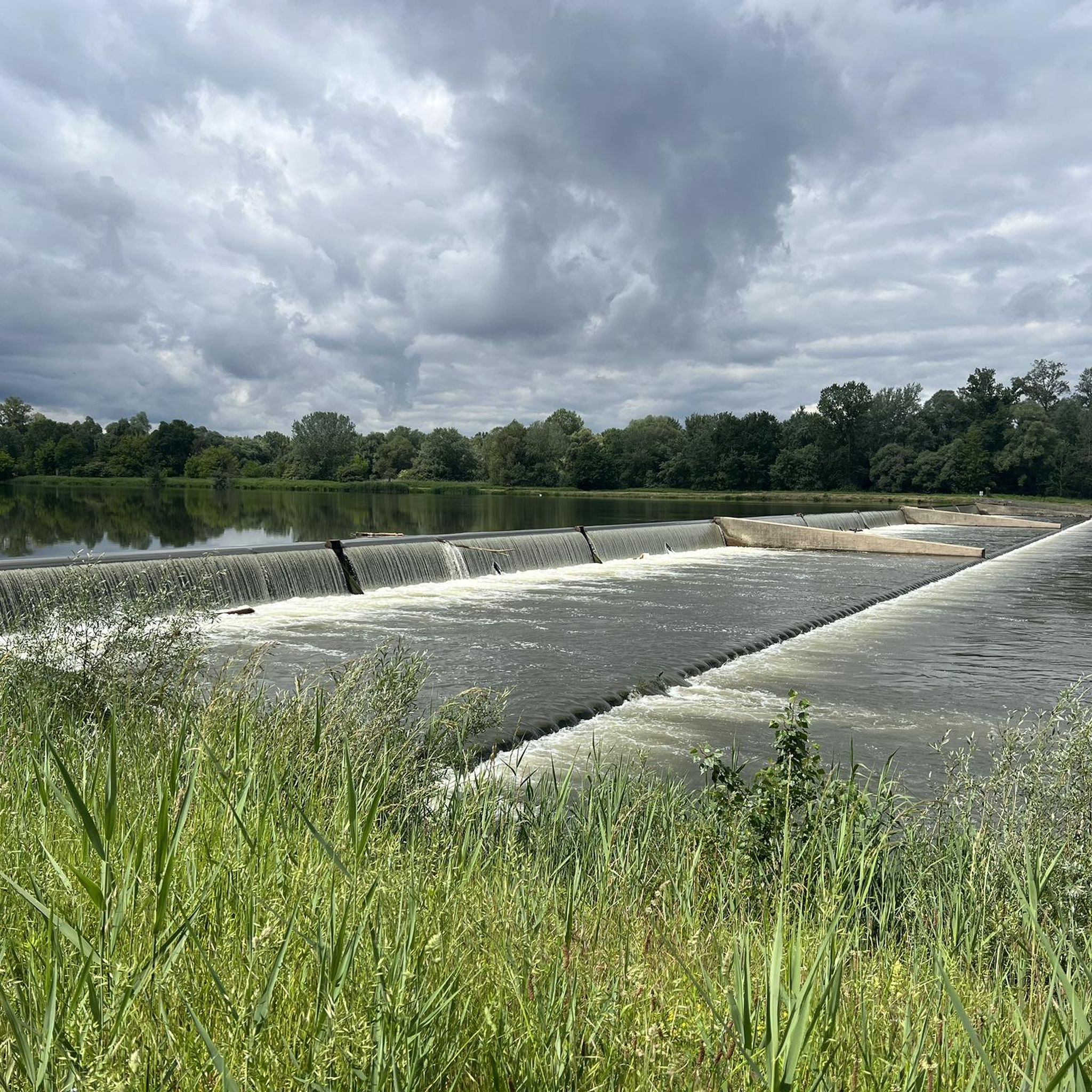
Tips from the Community

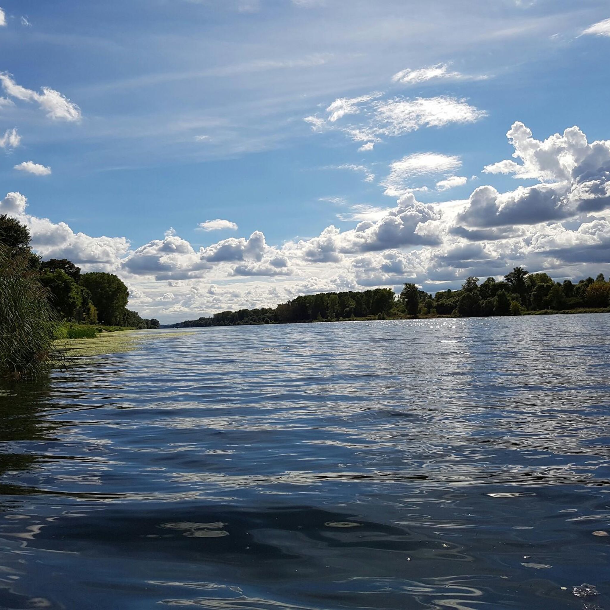
The Taubergießen nature reserve is a roughly 1,700-hectare floodplain and wetland area on the Upper Rhine between Freiburg and Offenburg. It consists of oxbow lakes, meadows, and riparian forests and is one of the largest and most ecologically valuable protected areas in Baden-Württemberg. The area is a habitat for many rare animal and plant species and is ideal for nature observation, hiking, and guided boat trips. 🌿🦆
0
0

An absolute natural idyll. Absolutely beautiful!!
1
0

Here you leave the long island and are, so to speak, on the French mainland.
0
0
Locks are always interesting, especially when they're still working.
0
0
This way leads over to France - for cyclists only.
0
0
You drive through the deepest part of the Taubergießen nature reserve, and suddenly you're in a very idyllic place 😁
0
0
Leisurely cycling, watching "Schiffle" 🤪
0
0
It's simply wonderful to sit here "on the beach" on sunny days 😉
0
0
Frequently Asked Questions
What kind of terrain can I expect on gravel bike trails around Bindernheim?
The Bindernheim area offers a diverse mix of landscapes for gravel biking. You'll find relatively flat terrain along the Rhine plain, characterized by beautiful riparian forests and scenic waterways. As you venture further, the routes can lead into the wooded foothills of the Vosges mountains, offering more challenging forest roads and varied ascents. The region also features a network of canal paths, providing smooth, traffic-free sections.
How many gravel bike routes are there in the Bindernheim area?
There are over 30 gravel bike routes available around Bindernheim, catering to various skill levels. This includes 6 easy routes, 16 moderate routes, and 8 more challenging options, ensuring there's something for every gravel biker.
Are there easy gravel bike trails suitable for beginners or families?
Yes, Bindernheim offers several easy gravel bike trails perfect for beginners or families. These routes often explore the flat terrain of the Rhine plain and canal paths. A great example is the Taubergießen Floodplain – Taubergießen River Landscape loop from Rhinau, which is 9.6 miles (15.5 km) long and explores the scenic floodplain.
Can I find more challenging gravel routes around Bindernheim?
Absolutely. For experienced riders seeking a challenge, there are routes with significant elevation gain and varied landscapes. The Mathilde Coffee + Wine – View of Totenkopf loop from Panoramabahn Bahnhof "Spanien" is a difficult 37.8 miles (60.8 km) trail that leads through varied terrain, often taking around 4 hours 42 minutes to complete.
What are some scenic natural attractions or viewpoints along the gravel trails?
Many routes will take you through the beautiful Rhine riparian forests, offering sparkling water views. You can also explore the Taubergießen Floodplain and the Elzwiesen Nature Reserve. For birdwatching, consider visiting the Taubergießen Birdwatching Tower. The region's diverse natural setting, including the nearby Parc Naturel Régional des Vosges du Nord, provides exceptional scenery.
Are there circular gravel bike routes available?
Yes, many of the gravel bike routes around Bindernheim are designed as loops, allowing you to start and finish at the same point. For example, the Rhinau–Kappel Ferry – Taubergießen Nature Reserve loop from Rhinau is a moderate 21.3 miles (34.3 km) path that guides riders through varied natural scenery in a circular fashion.
What is the best season for gravel biking in Bindernheim?
The Alsace region, including Bindernheim, is generally pleasant for cycling from spring through autumn. Spring brings blooming landscapes, while autumn offers vibrant colors. While specific winter conditions can vary, the relatively flat canal paths and some forest roads might still be accessible, though it's always best to check local conditions and weather forecasts.
Are there places to eat or drink near the gravel trails in Bindernheim?
While Bindernheim itself is a charming village, the broader region offers opportunities to find cafes and pubs. Some routes, like the Mathilde Coffee + Wine – View of Totenkopf loop from Panoramabahn Bahnhof "Spanien", even incorporate specific establishments into their names, suggesting places for a break. Exploring nearby villages along the routes will likely reveal local eateries.
What do other gravel bikers enjoy most about the routes in Bindernheim?
The gravel biking routes around Bindernheim are highly rated by the komoot community, with an average score of 4.9 stars from over 10 reviews. Reviewers often praise the diverse terrain, from peaceful riparian forests to more challenging ascents, and the well-maintained paths that offer a mix of natural beauty and engaging rides.
Is it possible to access gravel bike trails near Bindernheim using public transport?
While Bindernheim itself is a small village, the region's proximity to areas like Rhinau and the general infrastructure of Alsace means that some starting points for routes might be accessible via public transport, potentially including train stations. It's advisable to check local public transport schedules and bike carriage policies for specific routes you plan to undertake.
Where can I park my car when gravel biking near Bindernheim?
Many gravel routes in the region start from locations that offer parking facilities. For instance, routes originating from Rhinau or specific 'Panoramabahn Bahnhofs' often have designated parking areas. It's recommended to check the starting point details of your chosen route on komoot for specific parking information.
Most popular routes around Bindernheim
Most popular attractions around Bindernheim

Get inspired with the komoot mobile app


Explore more
Browse the best Gravel rides in other regions.
