The best gravel rides around Landser
4.6
(105)
452
riders
75
rides
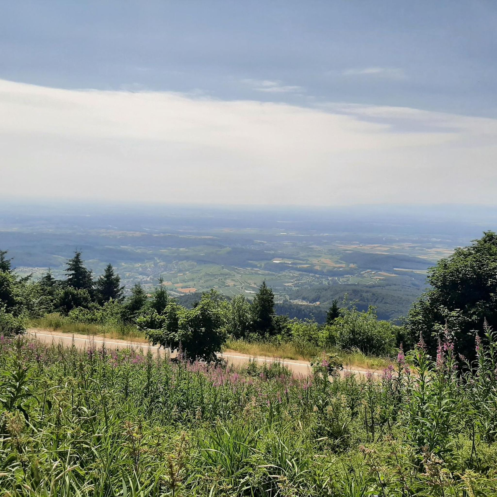
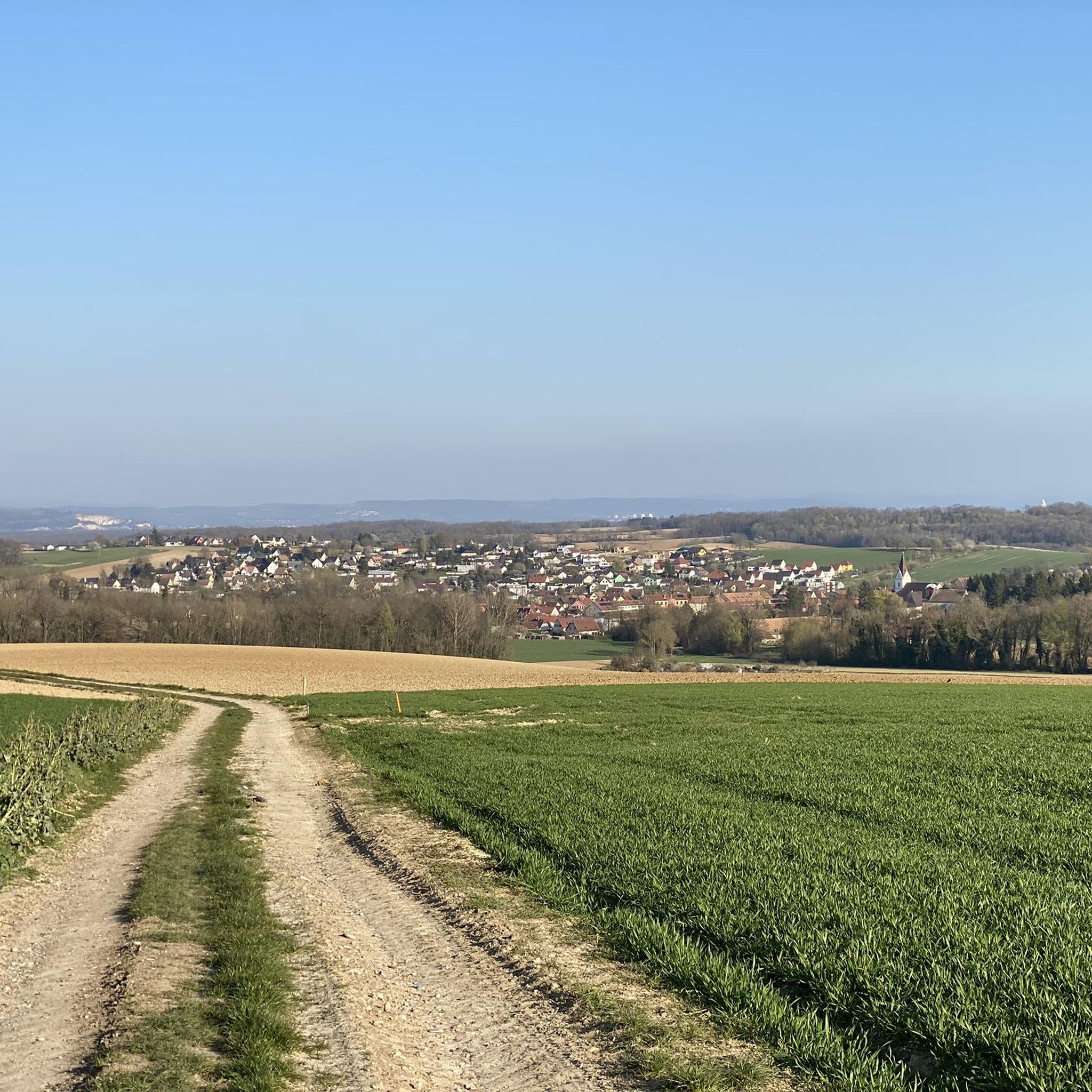
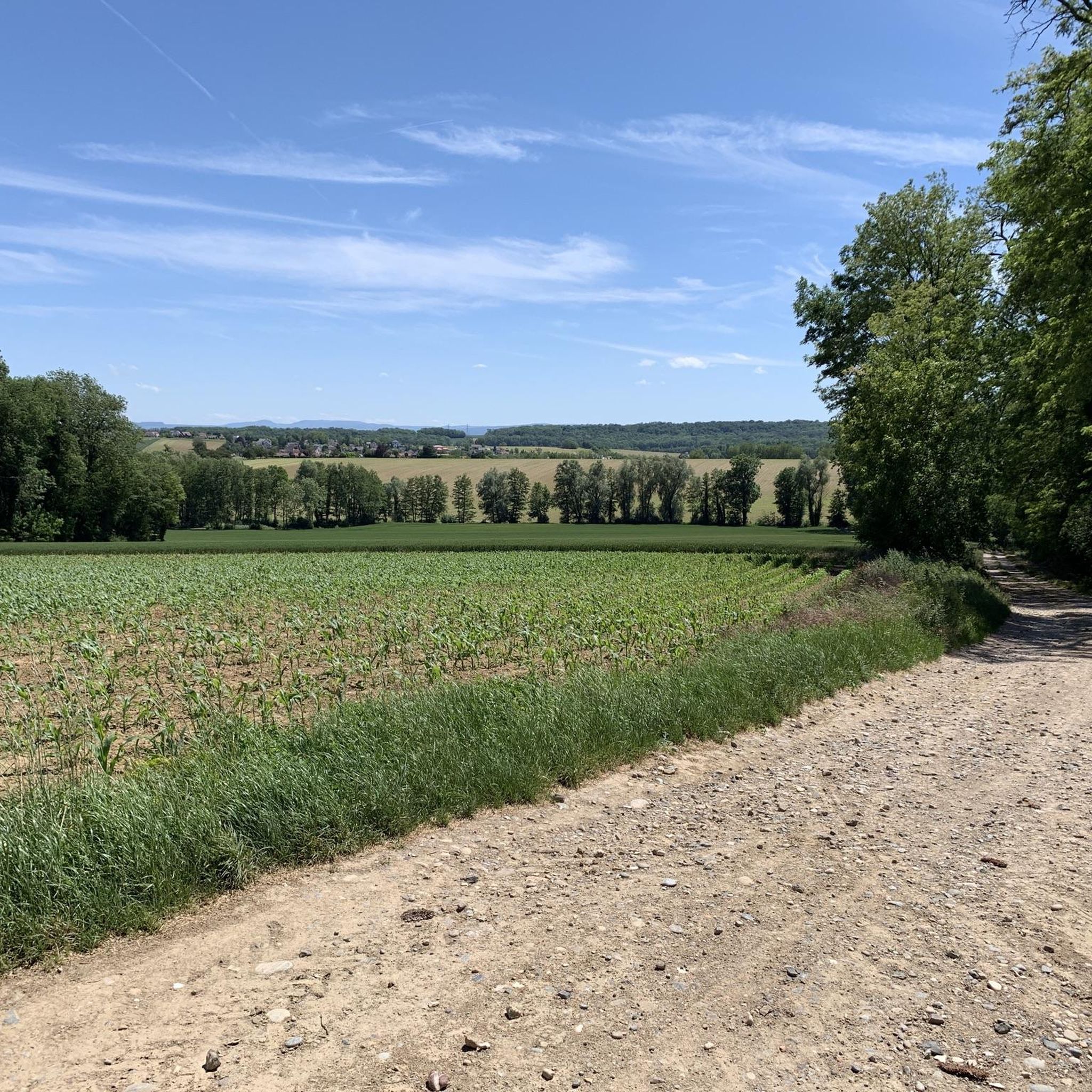
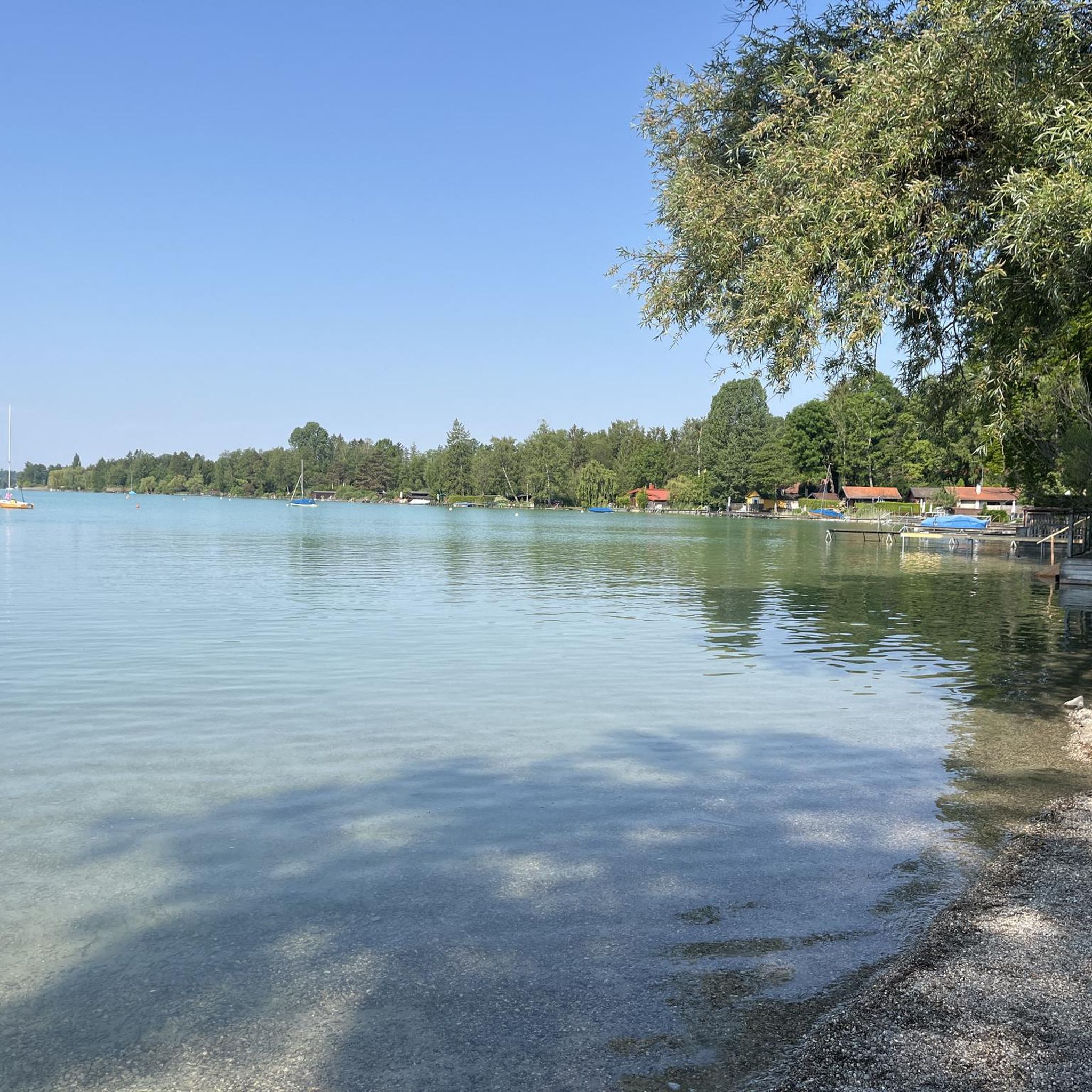
Gravel biking around Landser features a landscape characterized by a mix of flat canal paths, rolling terrain, and forested areas. The region includes sections along the Canal du Rhône au Rhin, offering smooth riding surfaces. Routes often pass by small lakes and historical sites, providing varied scenery. Elevation gains are present on some trails, contributing to a diverse riding experience.
Best gravel bike trails around Landser
- The most popular gravel bike trail is Nice trailhead – Small lake with island…
Last updated: August 26, 2026
4.6
(10)
104
riders
70.0km
03:42
230m
230m
Moderate gravel ride. Good fitness required. Mostly paved surfaces. Suitable for all skill levels.
4.8
(6)
14
riders
47.1km
03:43
640m
640m
Hard gravel ride. Very good fitness required. Mostly paved surfaces. Suitable for all skill levels.

Sign up for free
5.0
(1)
5
riders
31.0km
02:20
470m
470m
Hard gravel ride. Very good fitness required. Mostly paved surfaces. Suitable for all skill levels.
5
riders
47.1km
03:12
460m
460m
Hard gravel ride. Very good fitness required. Mostly paved surfaces. Suitable for all skill levels.
4
riders
46.5km
03:18
450m
450m
Hard gravel ride. Very good fitness required. Mostly paved surfaces. Suitable for all skill levels.
Get access to more routes and recommendations from other explorers.
Sign up for free
Already have an account?
Our route recommendations are based on thousands of hikes, rides, and runs completed by other people on komoot.
Start today with a free account
Your next adventure awaits.
Login or Signup

Tips from the Community

Cyclists completely sheltered from cars. Bleak landscape.
0
0

unfortunately overgrown due to water traffic
0
0

The Rhine with its beautiful bridges is always beautiful.
0
0

Beautiful spot in the vast hills overlooking Habsheim
0
0

It's fascinating how easy a border crossing can be.
2
0

Located right in the city center, the Mulhouse marina is situated on the Rhône-Rhine Canal. Combining urban boating, river tourism and proximity to the city center, it offers around thirty berths.
1
0

Short MTB / BMX type track in the woods next to the cannel path.
0
0

nice that it is actually not visible
0
0
Frequently Asked Questions
How many gravel bike trails are available around Landser?
There are over 80 gravel bike trails to explore around Landser, offering a wide variety of options for different skill levels and preferences.
Are there easy gravel bike trails suitable for beginners in Landser?
Yes, Landser offers several easy gravel bike trails perfect for beginners. For instance, the Blue drawbridge Zillisheim – Brunstatt lock loop from Mulhouse-Ville is an easy 30.6 km route that follows canal paths, providing a gentle introduction to gravel biking in the region.
What kind of terrain can I expect on gravel bike routes in Landser?
Gravel biking around Landser features a diverse landscape. You'll encounter a mix of flat canal paths, gently rolling terrain, and forested sections. Routes often include parts of the Canal du Rhône au Rhin, offering smooth surfaces, alongside more varied gravel and dirt paths.
What are some challenging gravel bike routes in Landser?
For those seeking a challenge, Landser has several difficult routes. The Nice trailhead – Small lake with island loop from Mulhouse-Ville is a demanding 47 km trail with significant elevation gain. Another difficult option is the Petit Séminaire de Zillisheim – Canal du Rhône au Rhin loop from Mulhouse-Ville, a 42.5 km path with varied terrain.
Are most gravel bike trails in Landser loop routes?
Many of the gravel bike trails in Landser are designed as loops, allowing you to start and finish at the same point. This is convenient for riders who prefer not to arrange transport back to their starting location. Examples include the Gravel or dirt path – Stetten loop from Rantzwiller and the Tumulus, Celtic tomb – Nice trailhead loop from Rixheim.
What scenic viewpoints or attractions can I expect on Landser's gravel trails?
The gravel trails around Landser often pass by interesting sights. You might encounter historical sites, small lakes, and sections along the Canal du Rhône au Rhin. Notable attractions in the wider area include the Kembs Drawbridge on the Huningue Canal, the Huningue Canal itself, and the Petite Camargue Alsacienne Nature Reserve.
When is the best time of year for gravel biking in Landser?
The region around Landser is generally pleasant for gravel biking from spring through autumn, when the weather is mild and the trails are dry. While winter riding is possible, some paths might be muddy or icy, especially in forested areas or along canals.
What do other gravel bikers enjoy most about Landser's trails?
The gravel biking routes in Landser are highly rated by the komoot community, with an average score of 4.4 stars from over 25 reviews. Riders often praise the varied terrain, from canal-side paths to forested sections and open agricultural areas, and the options available for all ability levels.
Are there any cafes or places to stop for refreshments along the gravel trails in Landser?
While specific cafes are not listed for every route, many trails around Landser pass through or near small towns and villages. It's advisable to check your route beforehand for potential refreshment stops or pack your own snacks and drinks, especially on longer rides.
How does gravel biking in Landser compare to Mulhouse?
Landser and Mulhouse are closely connected, with many routes starting from or passing through Mulhouse-Ville. Landser offers a similar mix of canal paths, rolling terrain, and forested areas, often providing a slightly more rural and tranquil experience while still being easily accessible from Mulhouse. The routes share characteristics like sections of the Canal du Rhône au Rhin.
Most popular attractions around Landser

Get inspired with the komoot mobile app


Explore more
Browse the best Gravel rides in other regions.
