The best gravel rides around Bizeneuille
3.9
(9)
76
riders
3
rides
Gravel biking around Bizeneuille offers varied terrain across the Allier department of France's Auvergne-Rhône-Alpes region. The landscape features rolling hills of the Bourbonnais bocage, dense forests like Forêt Domaniale de Lespinasse and Forêt de Tronçais, and scenic river valleys such as the Aumance. This area provides a network of paths suitable for gravel bikes, connecting rural roads with historical sites and natural features.
Best gravel bike trails around Bizeneuille
- The most popular gravel bike trail is Huriel – The old…
Last updated: July 3, 2026
9
riders
61.0km
04:26
760m
770m
Hard gravel ride. Very good fitness required. Mostly paved surfaces. Suitable for all skill levels.
3.0
(1)
9
riders
40.7km
02:48
440m
440m
Hard gravel ride. Good fitness required. You may need to push your bike for some segments of this route.

Sign up for free
3.0
(1)
5
riders
39.9km
02:44
470m
470m
Hard gravel ride. Very good fitness required. Mostly paved surfaces. Suitable for all skill levels.
5
riders
28.5km
01:59
300m
300m
Moderate gravel ride. Good fitness required. Mostly paved surfaces. Suitable for all skill levels.
4
riders
63.9km
04:20
700m
700m
Hard gravel ride. Very good fitness required. You may need to push your bike for some segments of this route.
Our route recommendations are based on thousands of hikes, rides, and runs completed by other people on komoot.
Start today with a free account
Your next adventure awaits.
Login or Signup



Tips from the Community

nice bowl for me
0
0
The highest point in Quinssaines. Beautiful viewpoint, with a pretty little church, and a lovely park for children just behind.
0
0

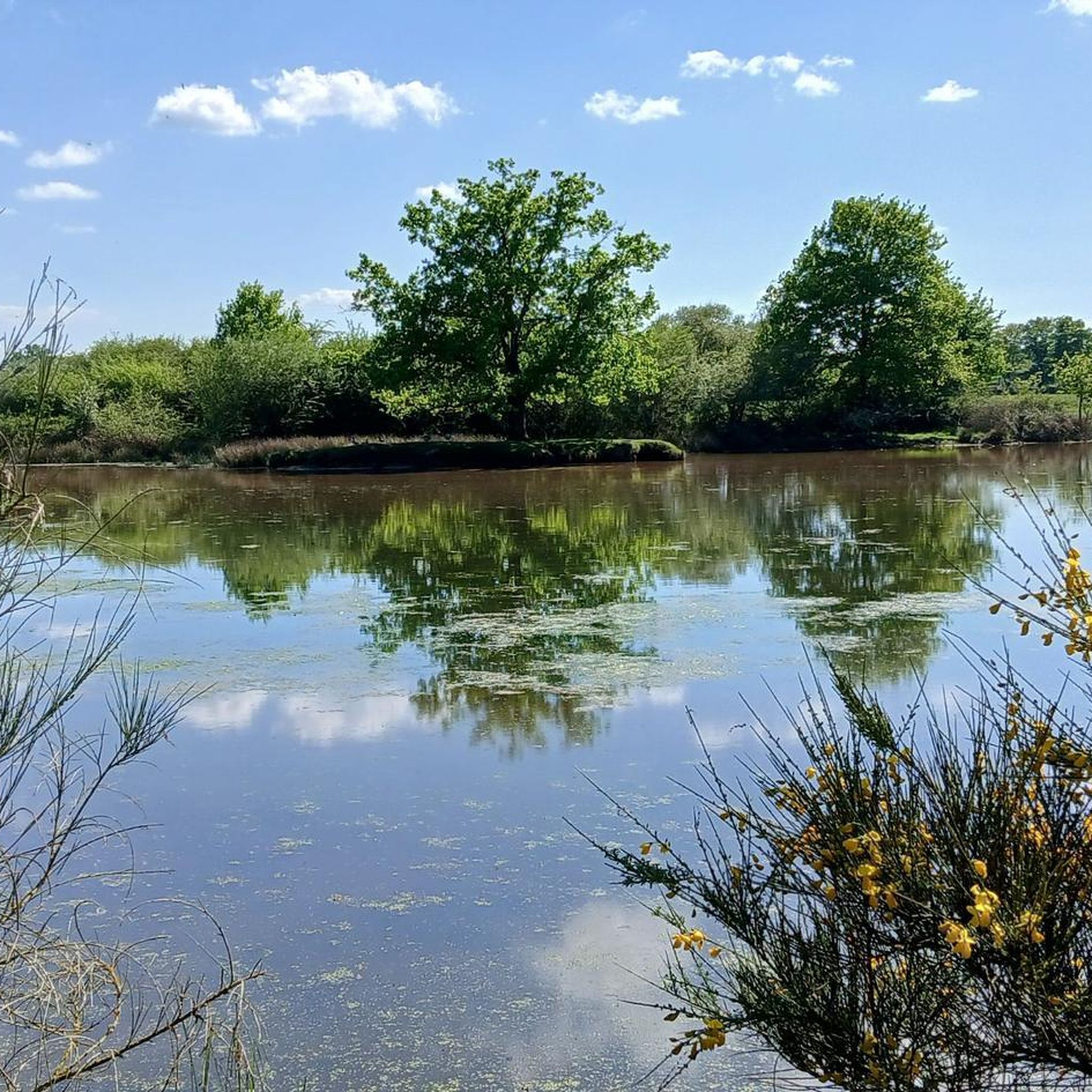
Beautiful photos but no longer relevant as the pond has been dry for two years.
0
0

The Romanesque church of Huriel, built in the 12th century, was once the seat of a priory dependent on the powerful Abbey of Déols, a Cluniac monastery in Berry. Built of Jarges granite, it blends Auvergne influences with its superb octagonal bell tower with blind arcades, reminiscent of those of major churches such as Saint-Nectaire or Saint-Saturnin.
0
0

Magnificent view of the region!
0
0
And yes! It is at the very back in the clear part of the sky...!
0
0
In the distance, the Combrailles and the Auvergne
0
0
Frequently Asked Questions
How many gravel bike trails are available around Bizeneuille?
There are 5 gravel bike trails documented around Bizeneuille on komoot, offering a range of experiences through the region's diverse landscapes.
What is the best time of year for gravel biking in Bizeneuille?
The region around Bizeneuille, with its forests and bocage, is generally pleasant for gravel biking from spring through autumn. Spring and early summer offer lush greenery, while autumn provides beautiful foliage. Winter riding is possible, but be prepared for potentially wet conditions, especially on unpaved sections, as the area can experience rain.
Are there any easy or beginner-friendly gravel bike routes in Bizeneuille?
While many routes in Bizeneuille are rated moderate to difficult due to elevation changes, the area's network of rural roads and farm tracks offers potential for easier exploration. For a route with a moderate difficulty rating, consider the Sault Pond – Croix des Oyaroux loop from La Ville-Gozet, which covers 29.5 km.
What kind of historical sites or natural features can I expect to see along the gravel trails?
Bizeneuille's gravel trails often connect natural beauty with historical richness. You can ride through the rolling hills of the Bourbonnais bocage, past numerous ponds, and along riverbanks like the Aumance. Historical highlights include the medieval town of Hérisson with its ruined castle. The Beautiful ruin – Hérisson loop from Cosne-d'Allier is a great option to explore historical areas and the Aumance River.
Are there any circular gravel bike routes in the Bizeneuille area?
Yes, many of the gravel routes around Bizeneuille are designed as loops, allowing you to start and finish in the same location. For example, the Huriel – The old mill of Sault loop from La Ville-Gozet is a challenging 62.6 km circular route through rural landscapes.
Can I find routes that pass by lakes or ponds?
Absolutely. The region is dotted with numerous ponds and small lakes, which often feature in scenic routes. The Sault Pond – Bartillat Pond. loop from Montluçon-Ville is a prime example, exploring these water features over a 39.9 km path with a mix of open fields and wooded sections.
What do other gravel bikers enjoy most about riding in Bizeneuille?
The komoot community rates the gravel biking in Bizeneuille highly, with an average score of 4.0 stars. Riders often praise the varied terrain, which includes rolling bocage hills, extensive forests like the Forêt de Troncais, and scenic river valleys, offering a blend of natural beauty and historical exploration.
Are there any specific viewpoints or scenic spots along the gravel trails?
Yes, the varied topography of the region offers several scenic spots. The area around Hérisson provides picturesque views, including a dedicated Viewpoint over Hérisson. The rolling hills of the Bourbonnais bocage and the river valleys also offer many natural vistas.
Are there any long-distance gravel routes for experienced riders?
For experienced riders seeking a longer challenge, the area offers routes with significant distance and elevation gain. The Pont Romain de Courtioux – Huriel loop from La Ville-Gozet is a difficult 63.5 km route with nearly 700 meters of elevation gain, providing a substantial ride.
What are some notable attractions near Bizeneuille that I could visit after a ride?
Beyond the trails, you can explore the charming medieval town of Hérisson and its impressive Hérisson Castle. The nearby city of Montluçon also boasts an Old town and castle, offering further historical exploration.
Is there public transport access to the gravel biking areas around Bizeneuille?
While Bizeneuille itself is a smaller village, the nearby city of Montluçon offers more public transport options. From Montluçon, you can access routes like the Voie Verte from Montluçon to Neris-les-Bains, which is suitable for gravel bikes and can serve as a starting point for further exploration.
Most popular routes around Bizeneuille
Most popular attractions around Bizeneuille

Get inspired with the komoot mobile app


Explore more
Browse the best Gravel rides in other regions.
