The 20 Most Amazing Peaks around Dettingen unter Teck
Best mountain peaks around Dettingen unter Teck are situated within the Swabian Jura, a low mountain range in Baden-Württemberg, Germany. The area features elevated points and viewpoints, offering vistas and natural experiences. Dettingen unter Teck lies at the foot of the Teckberg, which rises to 775 meters. These elevated points are recognized for their natural beauty and geological significance.
Best mountain peaks around Dettingen unter Teck
- The most popular mountain peaks is Breitenstein Viewpoint, a viewpoint that is a…
Last updated: July 7, 2026
Breitenstein Viewpoint
Highlight • Viewpoint
Translated by Google •
Tip by

Hörnle Quarry viewpoint
Highlight • Viewpoint
Translated by Google •
Tip by

Sign up now to discover places like this
Get recommendations on the best single tracks, peaks, & plenty of other exciting outdoor places.
Sign up for free
Jusi Summit Viewpoint
Highlight • Viewpoint
Translated by Google •
Tip by

View from Brucker Fels towards Burg Teck and the Lenninger Valley
Highlight • Viewpoint
Translated by Google •
Tip by

Calverbühl Hill with the Linden Tree
Highlight • Viewpoint
Translated by Google •
Tip by

Sign up for free to discover even more peaks around Dettingen unter Teck.
Sign up for free
Already have an account?
Start today with a free account
Your next adventure awaits.
Login or Signup
Popular around Dettingen unter Teck
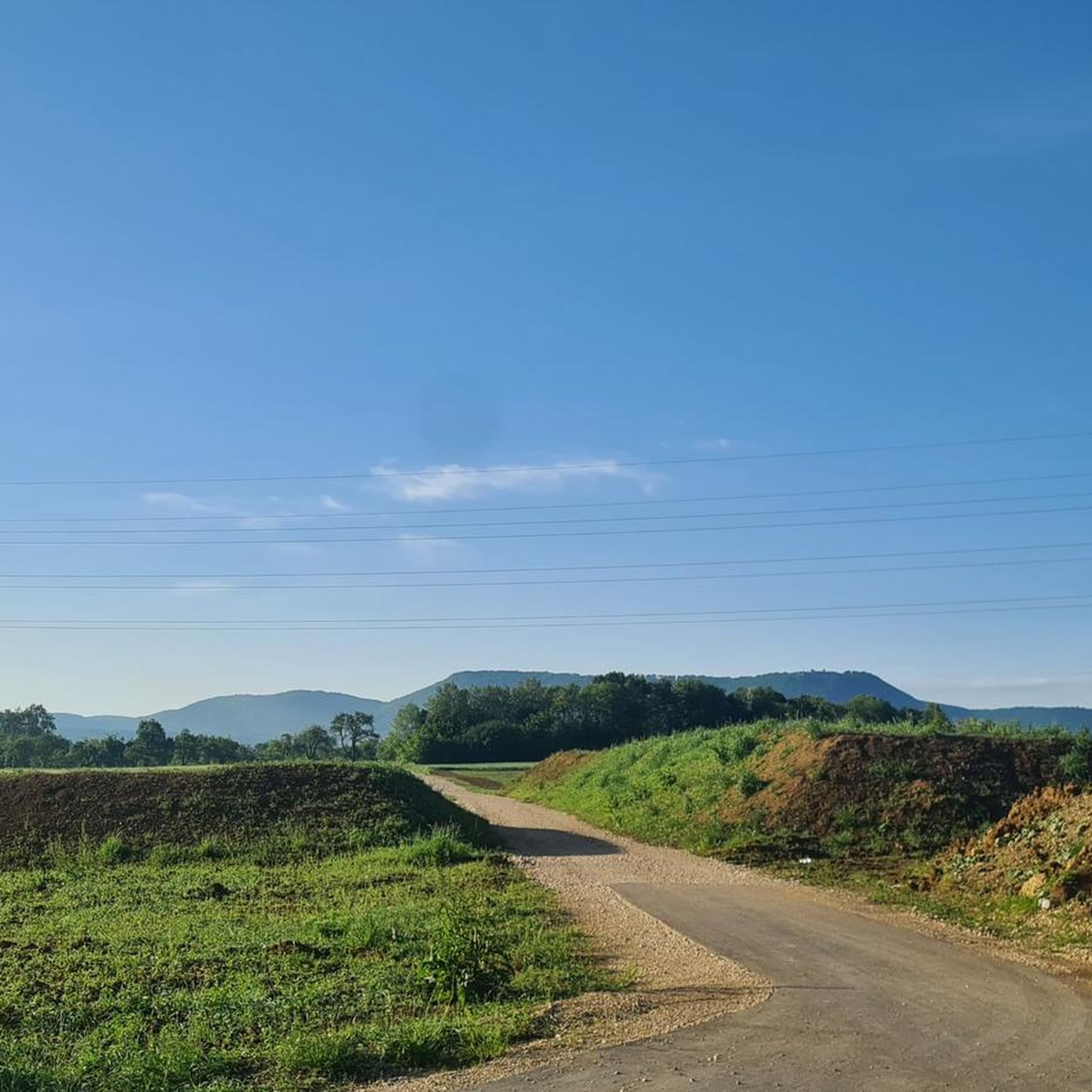
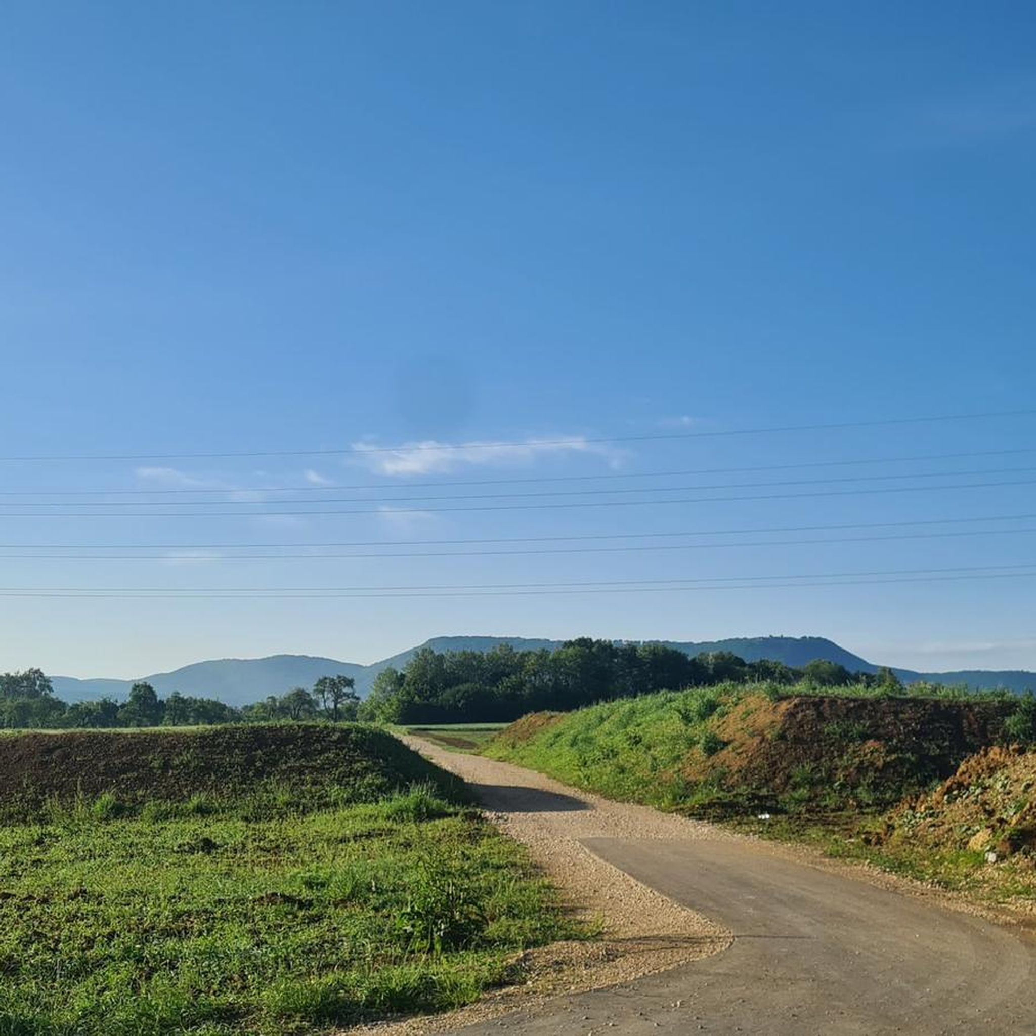
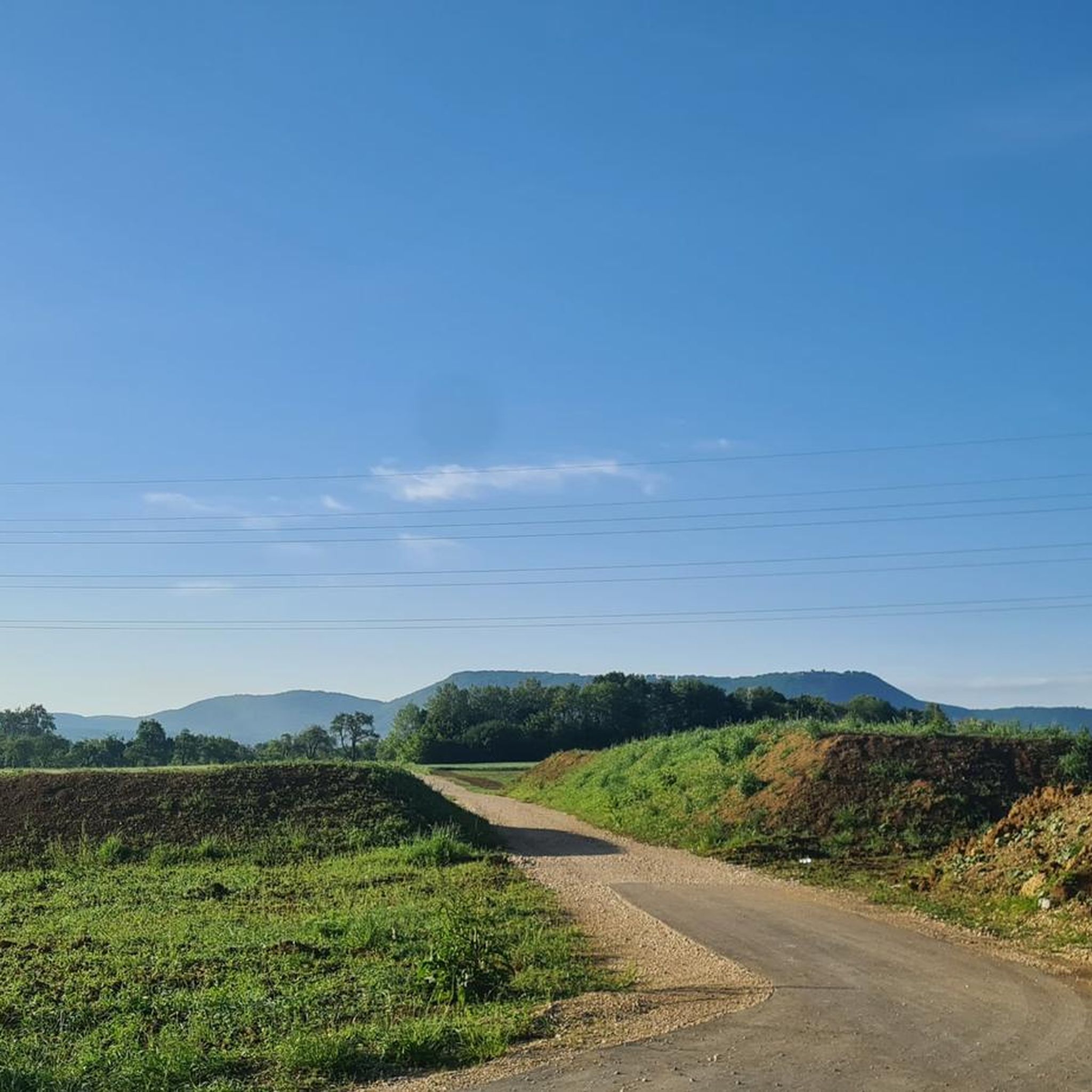
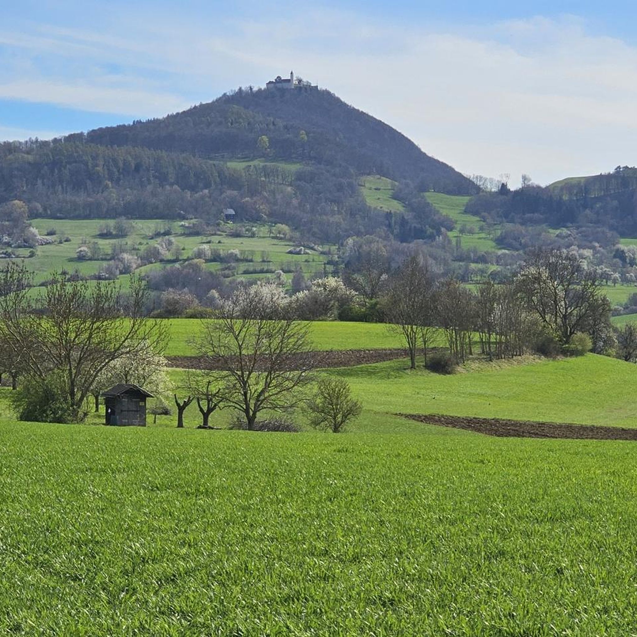

Tips from the Community

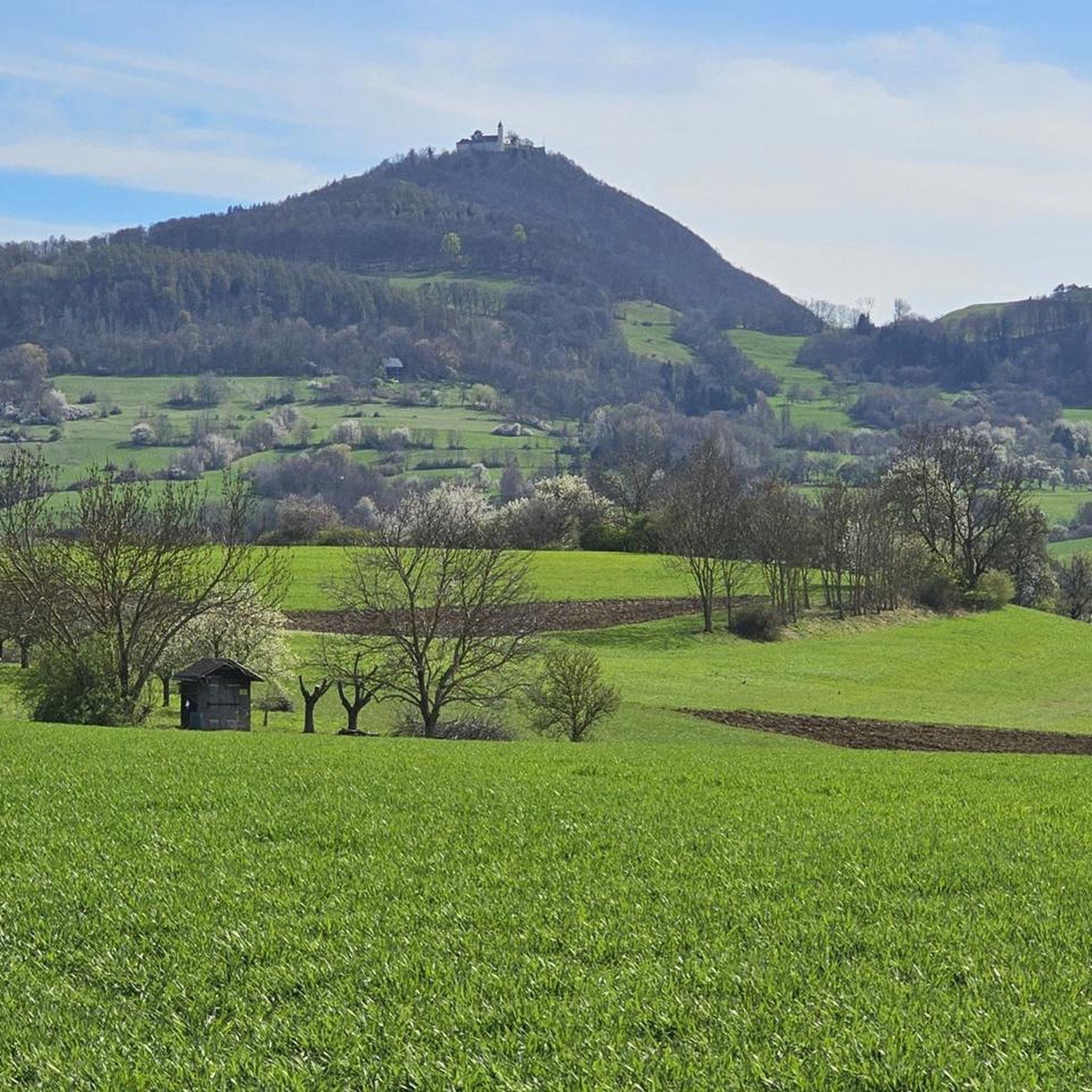
The Calverbühl (also Calver Bühl, formerly Karpfenbühl) is a striking 509 m above sea level elevation south of Dettingen an der Erms in the district of Reutlingen. On the summit of the Calverbühl there is a linden tree that is clearly visible from afar. Until the Reformation in 1534 there was a chapel up here. The Calverbühl Chapel was a regular destination for the people of Dettingen on St. Mark's Day (April 25th) for a pilgrimage. The Calverbühl is a small volcanic vent of the Swabian Volcano. The rock is characterized by numerous lapilli. Geophysical measurements have shown that a strong geomagnetic anomaly occurs at the Calverbühl, which is caused by the ferromagnetic minerals (especially magnetite) present within the volcanic rock. In a recent publication, Otto Mäussnest mentions that the magnetism of the Calverbühl was increased by lightning strikes. The Calverbühl with the linden tree on the summit and the semi-dry grassland on the slopes is a protected natural monument and is also protected as a geotope under the name Calverbühl, about 1000 m south of Dettingen a. d. Erms on the western slope of the Ermstal. It is embedded in both the Reutlinger and Uracher Alb landscape conservation area and the Swabian Alb biosphere reserve. Source: https://de.wikipedia.org/wiki/Calverb%C3%BChl
3
0

Always along the edge of the disused quarry.
4
0

The edge of the former quarry is impressive. The path leads over the grad, with demanding vertical meters to be mastered up and down.
4
0

Impressive former quarry on the Hörnle. Thanks to a citizens' initiative in the 1960s, the Hörnle was not completely removed. Because that could have happened from the Dettinger side. So we have a unique natural paradise on the Albtrauf between Dettingen, Hülben and Neuffen.
6
0
From the Calver Bühl you have a wonderful view of Bad Urach, Dettingen, Metzingen - a beautiful 180° view of the middle Ermstal from Bad Urach to Metzingen.
3
1

Very nice path through the forest.
6
1

Really great up here! The climb is always worthwhile!
13
0
Vertical wall at the quarry where half the mountain is missing. But very well secured.
9
0
Frequently Asked Questions
What are some of the most popular elevated points to visit around Dettingen unter Teck?
The region around Dettingen unter Teck, part of the Swabian Jura, offers several cherished elevated points. Among the most popular are the Breitenstein Viewpoint, known for its distinctive White Jura rock outcrop and superb views, and the Calverbühl Hill with the Linden Tree, offering panoramic views over cherry orchards. Another favorite is the Jusi Summit Viewpoint, an extinct volcano vent providing breathtaking vistas of the Alb foothills.
Are there any family-friendly mountain walks or viewpoints in the area?
Yes, the region offers several options suitable for families. The Breitenstein Viewpoint is listed as family-friendly, and its ascent through the 'Eichhalde' is a beautiful experience. The Teckberg itself, while featuring some steep sections, has a dense network of hiking trails that can be explored by families, leading to Teck Castle with magnificent views.
What kind of natural features can I expect to see on these elevated points?
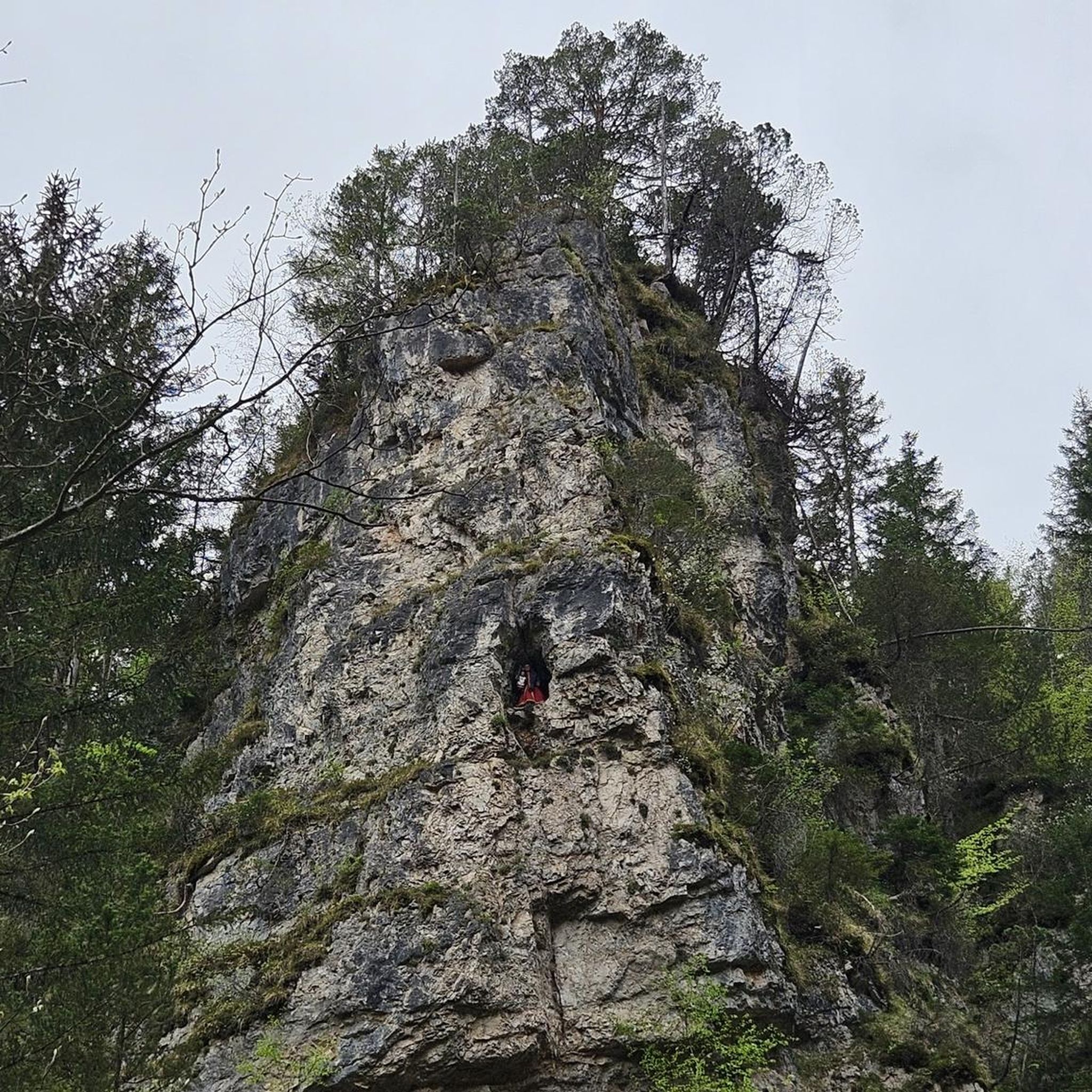
You'll encounter diverse natural features. The Breitenstein Viewpoint is a distinctive White Jura rock outcrop and a protected geotope. The Hörnle Quarry viewpoint, once a quarry, has transformed into a biotope with small ponds. The Jusi Summit Viewpoint is an impressive volcanic vent, and its southern slope is a protected nature reserve. Many points offer expansive views of the Swabian Jura's unique geological formations.
Are there any historical landmarks or sites near the mountain peaks?
Yes, the region is rich in history. Teck Castle, located on the Teckberg, is a prominent historical landmark. The Hörnle Quarry viewpoint also has an interesting history, having been saved from complete excavation by a citizen's initiative. The entire Swabian Jura is recognized as a UNESCO Global Geopark and UNESCO Biosphere Reserve, highlighting its significant natural and cultural landscape.
What outdoor activities can I do near the elevated points around Dettingen unter Teck?
The area provides excellent opportunities for various outdoor activities. You can explore numerous hiking trails, including sections of the long-distance Albsteig (HW1) and the 'hochgehadelt' premium hiking trail on the Teckberg. For cycling enthusiasts, there are many Road Cycling Routes and MTB Trails. Additionally, there are dedicated Running Trails for those who enjoy jogging through nature.
Where can I find impressive panoramic views of the Swabian Alb and its foothills?
For consistently rewarding panoramic views, the Teckberg is an excellent choice, offering vistas towards both the Swabian Alps and its foothills. The Breitenstein Viewpoint also provides superb views of the surrounding landscape. From the Calverbühl Hill with the Linden Tree, a fantastic panoramic view extends over cherry orchards and the valley. The Jusi Summit Viewpoint offers one of the most beautiful views of the Alb foothills and the Swabian Alb.
Are there any specific trails or routes recommended for hiking to these elevated points?
Many elevated points are accessible via well-maintained trails. For instance, a hiking trail from the Hörnle parking lot leads to Teck Castle, offering magnificent views. The Teckberg itself features a dense network of hiking trails, including a section of the long-distance hiking trail Albsteig (HW1) and the 'hochgehadelt' premium hiking trail. The ascent to the Breitenstein Viewpoint through the 'Eichhalde' is also highly recommended.
What do visitors enjoy most about the elevated points around Dettingen unter Teck?
Visitors frequently praise the breathtaking views and the natural beauty of the area. The unique geological formations, such as the White Jura rock outcrop at Breitenstein Viewpoint and the extinct volcano vent at Jusi Summit Viewpoint, are often highlighted. The peaceful atmosphere and the opportunity to connect with nature, often with a rewarding panoramic view at the summit, are also highly valued.
Is there a viewpoint that offers a good perspective of Hohenzollern Castle?
While Hohenzollern Castle is further afield, the Zeller Horn (913 meters altitude), which is part of the Albtrauf, provides the most beautiful postcard-worthy views of the majestic castle. This viewpoint is a bit outside the immediate Dettingen unter Teck area but is a notable elevated point in the broader Swabian Jura.
What is the significance of the Hörnle Quarry viewpoint?
The Hörnle Quarry viewpoint is significant for its unique history and natural preservation. It was historically a quarry, but thanks to a citizen's initiative in the 1960s, its complete excavation was prevented. Today, the former quarry has developed into a biotope with small ponds, offering impressive views and a chance to experience a preserved natural area.
Are there any specific elevated points known for their geological importance?
Yes, several points are recognized for their geological significance. The Breitenstein Viewpoint is a distinctive White Jura rock outcrop and a protected geotope. The Jusi Summit Viewpoint is the most impressive volcanic vent of the Swabian volcano. The Calverbühl Hill with the Linden Tree is also protected as a geotope and is considered a former volcanic cone.
Can I find viewpoints that are easily accessible or offer shorter walks?
While many trails involve some ascent, several viewpoints offer relatively easy access or shorter walks for a quick reward. The Calverbühl Hill with the Linden Tree, for example, offers a fantastic panoramic view from its summit after a climb, making it an ideal spot for relaxation and enjoying the scenery without an overly strenuous hike.
Most popular routes around Dettingen unter Teck
Most popular attractions around Dettingen unter Teck

Get inspired with the komoot mobile app


Explore more
See even more amazing summits around Dettingen unter Teck with these guides:
