The best gravel rides around Saint-Sériès
4.0
(26)
205
riders
63
rides
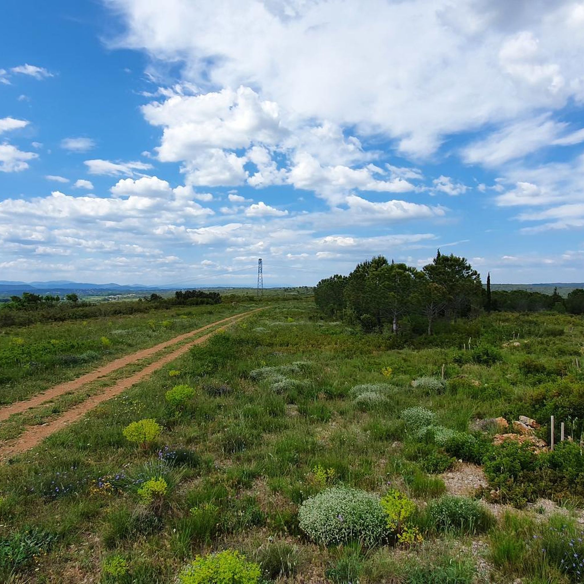
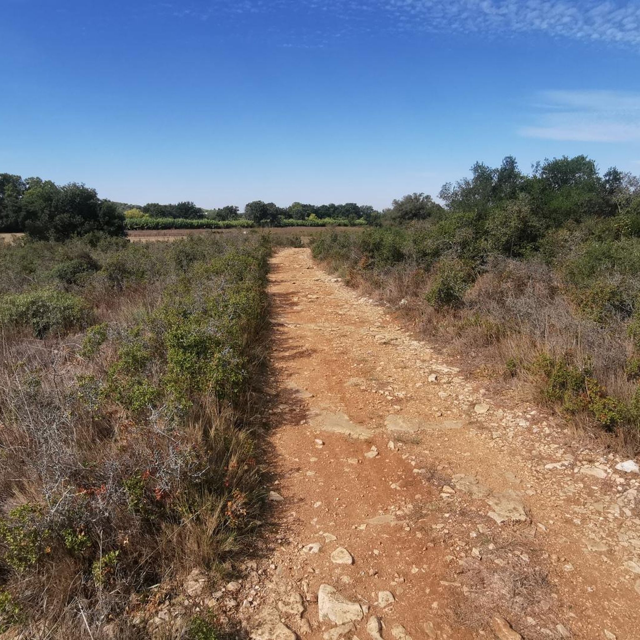
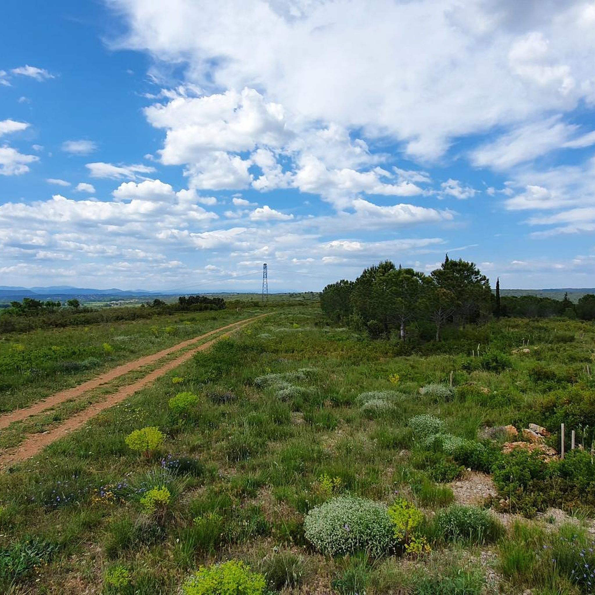
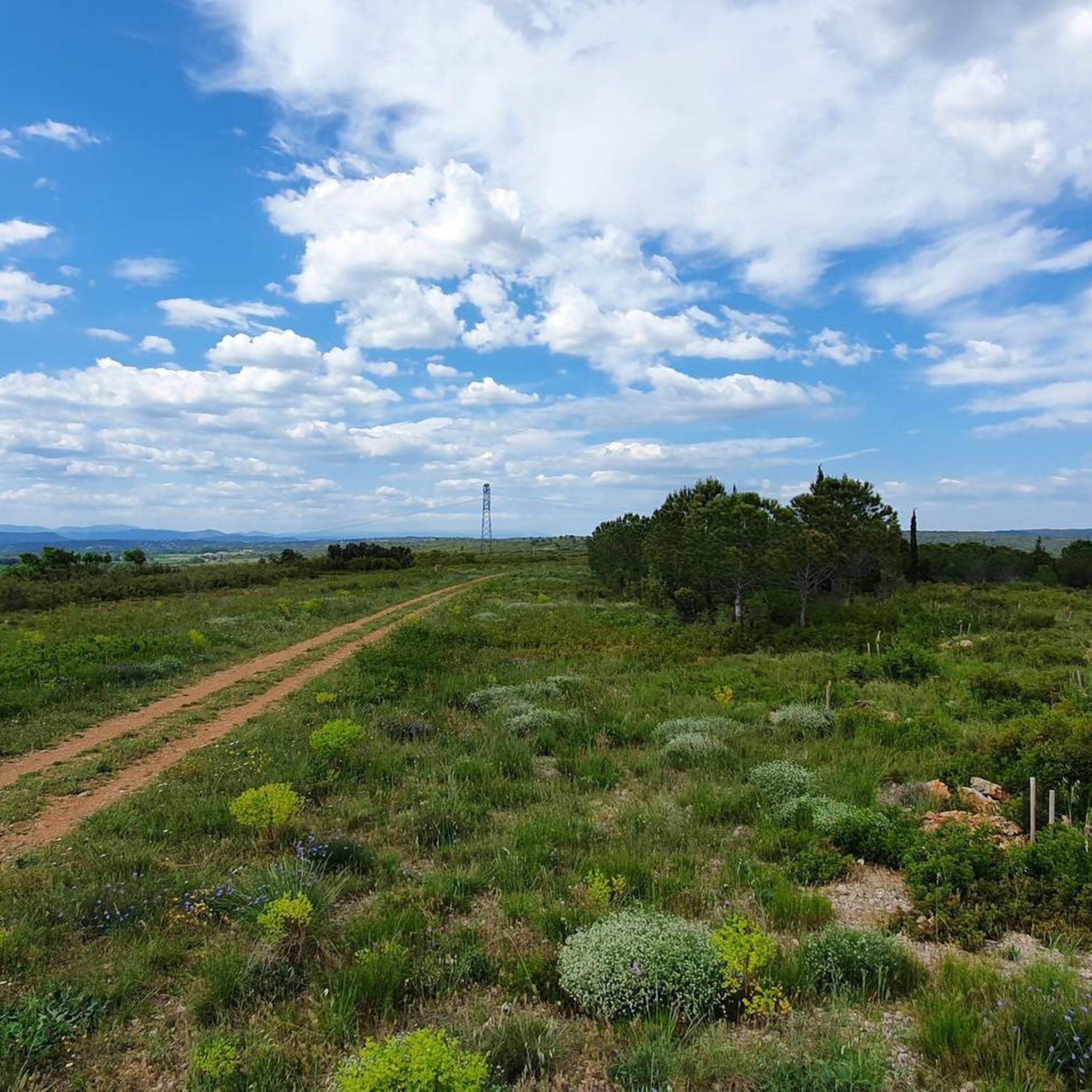
Gravel biking around Saint-Sériès offers routes through the varied landscapes of the Occitanie region, characterized by river plains, agricultural fields, and low-lying hills. The area features a network of unpaved roads and paths suitable for gravel cycling, often following waterways like the Vidourle river. Riders can expect a mix of open countryside, garrigue, and sections passing through local villages and vineyards. The terrain generally presents moderate elevation changes, with some routes featuring more significant climbs.
Best gravel bike trails around Saint-Sériès
- The most popular gravel bike trail is Lunel huts – Lunel Canal loop from Lunel, a 21.3 miles (34.3 km) trail that takes 1 hour 50 minutes to complete. This route offers a moderate ride along the canal and through the local landscape.
- Another top favourite among local gravel bikers is Lunel Canal – Lunel huts loop from Lunel, a moderate 28.4 miles (45.8 km) path. This trail explores the canal area, featuring varied terrain and open fields.
- Local gravel bikers also love the View of Pic Saint-Loup loop from Restinclières, a 29.5 miles (47.4 km) trail leading through varied terrain with views towards Pic Saint-Loup, often completed in about 3 hours 17 minutes.
- Gravel biking around Saint-Sériès is defined by river valleys, open fields, and low hills. The network offers options for different ability levels, from easy gravel bike trails Saint-Sériès to more demanding rides.
- The routes in Saint-Sériès are highly rated by the komoot community with an average score of 4.1 stars from over 20 reviews. More than 180 gravel bikers have used komoot to explore Saint-Sériès's varied terrain.
Last updated: July 3, 2026
4.8
(5)
41
riders
33.5km
01:46
30m
30m
Easy gravel ride. Great for any fitness level. Mostly paved surfaces. Suitable for all skill levels.
4.0
(1)
32
riders
45.8km
02:28
40m
40m
Moderate gravel ride. Good fitness required. Mostly paved surfaces. Suitable for all skill levels.

Sign up for free
6
riders
47.6km
03:18
420m
420m
Moderate gravel ride. Good fitness required. Mostly paved surfaces. Suitable for all skill levels.
3.0
(1)
6
riders
16.0km
01:19
170m
170m
Moderate gravel ride. Good fitness required. Mostly paved surfaces. Suitable for all skill levels.
4.3
(3)
7
riders
41.7km
02:18
50m
50m
Moderate gravel ride. Good fitness required. Mostly paved surfaces. Suitable for all skill levels.
Get access to more routes and recommendations from other explorers.
Sign up for free
Already have an account?
Our route recommendations are based on thousands of hikes, rides, and runs completed by other people on komoot.
Start today with a free account
Your next adventure awaits.
Login or Signup
Tips from the Community

Very poorly indicated at the start of La Grande Motte
0
0

Perfect for a break in the middle of the rollercoaster ridge!
0
0


A beautiful, old fortified town with nice restaurants and shops. For a small fee, you can take a walk along the city walls. Parking for cars is sometimes quite expensive – bicycles can be parked for free right at the entrance (and locked up).
1
0

Beautiful old town with its mighty walls.
0
0

Cycling along the towpath of the Rhône Canal is a pleasure. The panorama is picturesque.
2
0

More than 10 kilometers of happiness, to admire the many birds and Camargue cows. The path is easy to access but can be tiring for the less fit. The path runs along the fishermen's and hunters' huts and their boats, a timeless atmosphere. You can enjoy admirable views of the Etang de l'Or and the Pic Saint-Loup further north.
1
0
From the observatory, follow the Rhône-Sète canal on the towpath to the right for 2.5 kilometers. On your left, the Roc cabins are former fishermen's shelters, still inhabited today.
2
0
Frequently Asked Questions
How many gravel bike trails are available around Saint-Sériès?
There are over 60 gravel bike routes to explore in the Saint-Sériès area, offering a wide range of options for different skill levels and preferences.
What kind of terrain can I expect on gravel bike trails in Saint-Sériès?
The terrain around Saint-Sériès is diverse, featuring river plains, agricultural fields, and low-lying hills. You'll find a network of unpaved roads and paths, often following waterways like the Vidourle river. While most routes have moderate elevation changes, some trails include more significant climbs, especially those exploring the Vidourle river area.
Are there easy gravel bike trails suitable for beginners in Saint-Sériès?
Yes, Saint-Sériès offers several easy gravel bike trails perfect for beginners. For instance, the region has 13 routes classified as easy. These routes generally feature less elevation gain and smoother surfaces, allowing for a more relaxed ride.
Are there challenging gravel cycling routes for experienced riders?
Absolutely. For experienced gravel bikers seeking a challenge, there are 16 difficult routes available. A notable option is the Watchtower of Saint-Dionisy – The Vidourle loop from Vergèze - Codognan, which is 46.4 miles (74.7 km) long and features more demanding ascents and varied terrain along the Vidourle river.
What are some scenic highlights or attractions I can see along the gravel bike trails?
While riding, you can encounter various points of interest. Consider exploring the Castries Aqueduct or enjoying the View of the Castries aqueduct. Other historical sites include the Carrières de Junas or the Oppidum of Ambrussum – dwellings in the southern quarter, which offer glimpses into the region's past.
Are there any circular gravel bike routes near Saint-Sériès?
Many of the gravel bike routes in the area are designed as loops. For example, the Carbonnière Tower – Carbonnière Tower loop from Lunel is a moderate 28.4 miles (45.8 km) circular route that takes you past the historic tower. Another option is the Boissières Medieval Village – Magnificent capitelle. loop from Vergèze - Codognan, a challenging 30.5 miles (49.1 km) loop.
What is the best season for gravel biking in Saint-Sériès?
The Occitanie region generally enjoys a Mediterranean climate. Spring and autumn are often ideal for gravel biking, offering pleasant temperatures and less extreme weather. Summer can be hot, so early morning or late afternoon rides are recommended, while winter can be mild but may bring occasional rain.
What do other gravel bikers say about the trails in Saint-Sériès?
The gravel bike routes in Saint-Sériès are highly regarded by the komoot community, with an average rating of 4.2 stars from over 30 reviews. Riders often praise the varied terrain, the scenic river sections, and the opportunities to pass through charming local villages.
Are there gravel bike trails that pass through villages or near amenities like cafes?
Yes, many routes in the Saint-Sériès area are designed to pass through local villages, offering opportunities to stop for refreshments or explore. The region's network of paths often connects these communities, allowing for convenient breaks during your ride.
What is the typical length and duration of gravel bike routes in Saint-Sériès?
Route lengths vary significantly. You can find shorter, moderate rides like the Lunel huts – Lunel Canal loop from Lunel, which is 21.3 miles (34.3 km) and takes about 2 hours 16 minutes. Longer, more challenging routes, such as the Lunel huts – Lunel Canal loop from Sussargues, can be up to 48.5 miles (78.1 km) and take around 5 hours to complete.
Most popular routes around Saint-Sériès
Most popular attractions around Saint-Sériès

Get inspired with the komoot mobile app


Explore more
Browse the best Gravel rides in other regions.
