The best gravel rides around Pardailhan
4.3
(10)
70
riders
16
rides
Gravel biking around Pardailhan offers a diverse and challenging experience within the Haut-Languedoc Regional Natural Park in southern France. The region is characterized by mountainous terrain, with elevations ranging from 275 to 820 meters, providing varied climbs and descents. Routes often traverse forests of pine and chestnut trees, open ridges, and river valleys, including those of the Vernazobre and Cessière. This varied topography, combined with karst formations, creates a dynamic environment for gravel biking.
Best gravel bike trails around Pardailhan
…Last updated: August 26, 2026
4.8
(4)
25
riders
Hard gravel ride. Very good fitness required. Mostly paved surfaces. Suitable for all skill levels.
4.3
(3)
14
riders
43.5km
02:38
310m
310m
Moderate gravel ride. Good fitness required. Mostly paved surfaces. Suitable for all skill levels.

Sign up for free
5.0
(1)
5
riders
37.9km
03:03
810m
810m
Hard gravel ride. Very good fitness required. Mostly paved surfaces. Suitable for all skill levels.
5
riders
36.3km
02:49
820m
820m
Hard gravel ride. Very good fitness required. Mostly paved surfaces. Suitable for all skill levels.
6
riders
22.7km
01:13
180m
180m
Moderate gravel ride. Good fitness required. Mostly paved surfaces. Suitable for all skill levels.
Get access to more routes and recommendations from other explorers.
Sign up for free
Already have an account?
Our route recommendations are based on thousands of hikes, rides, and runs completed by other people on komoot.
Start today with a free account
Your next adventure awaits.
Login or Signup
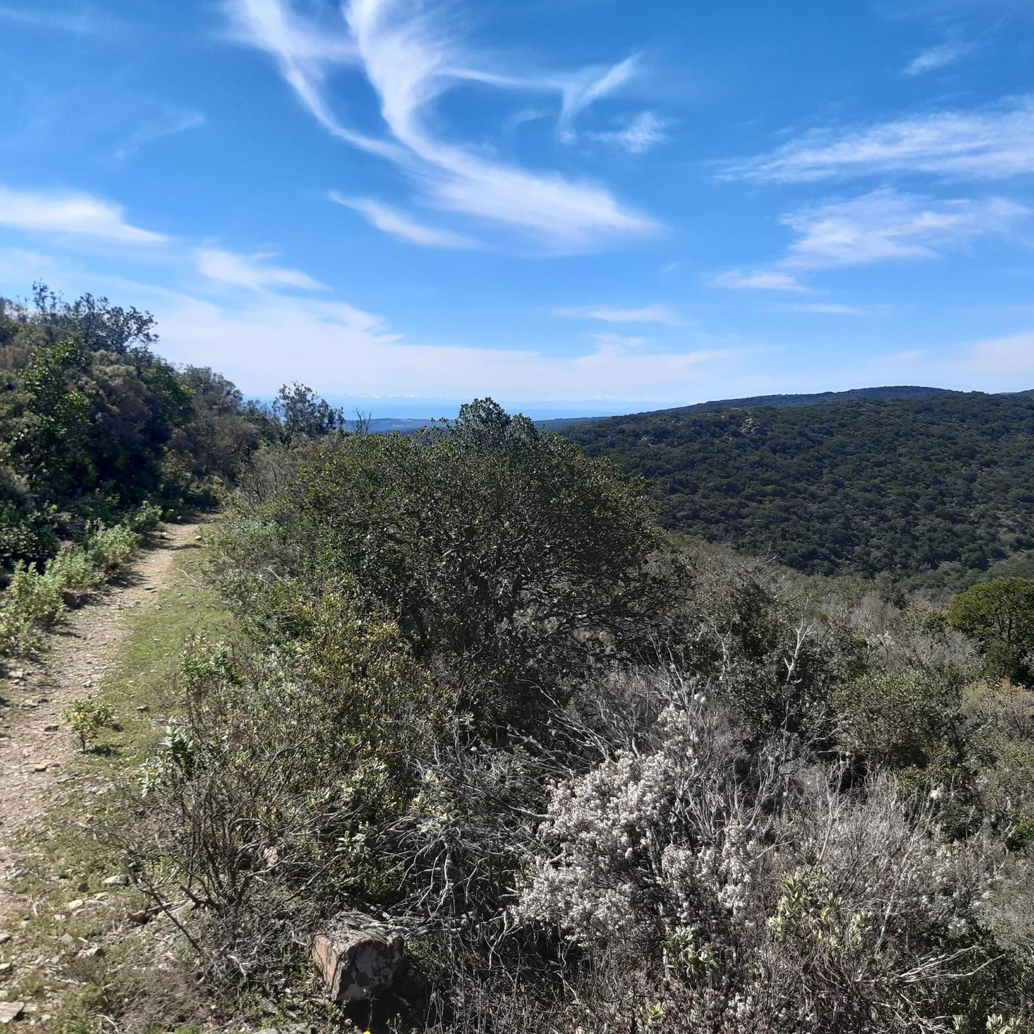
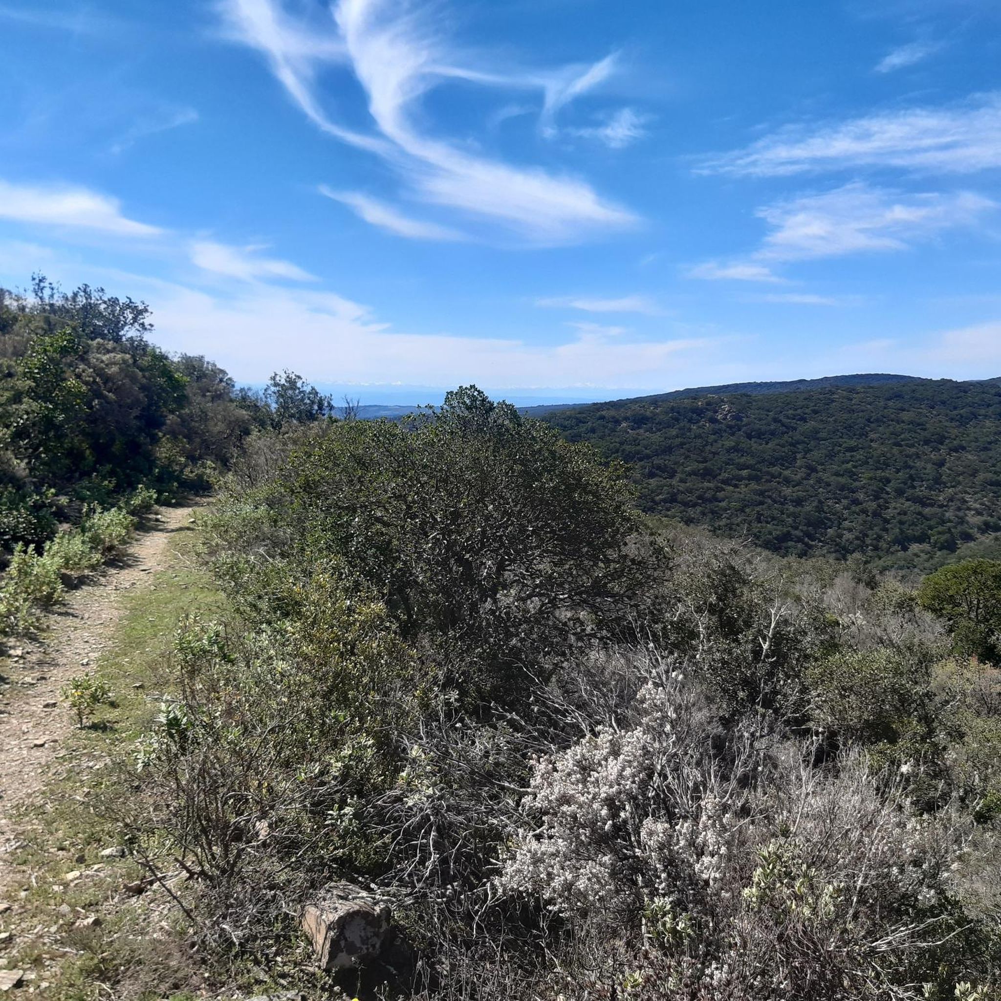
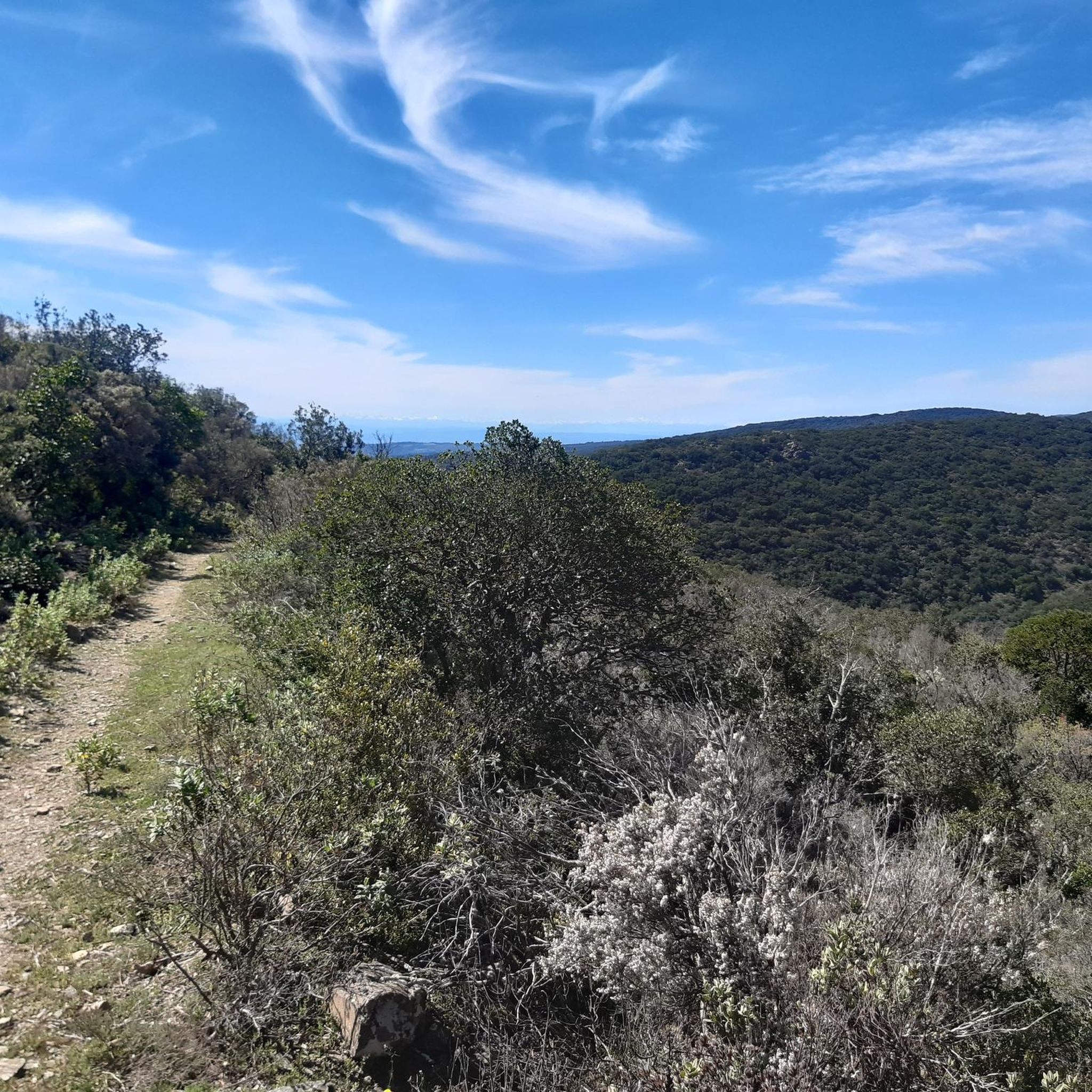
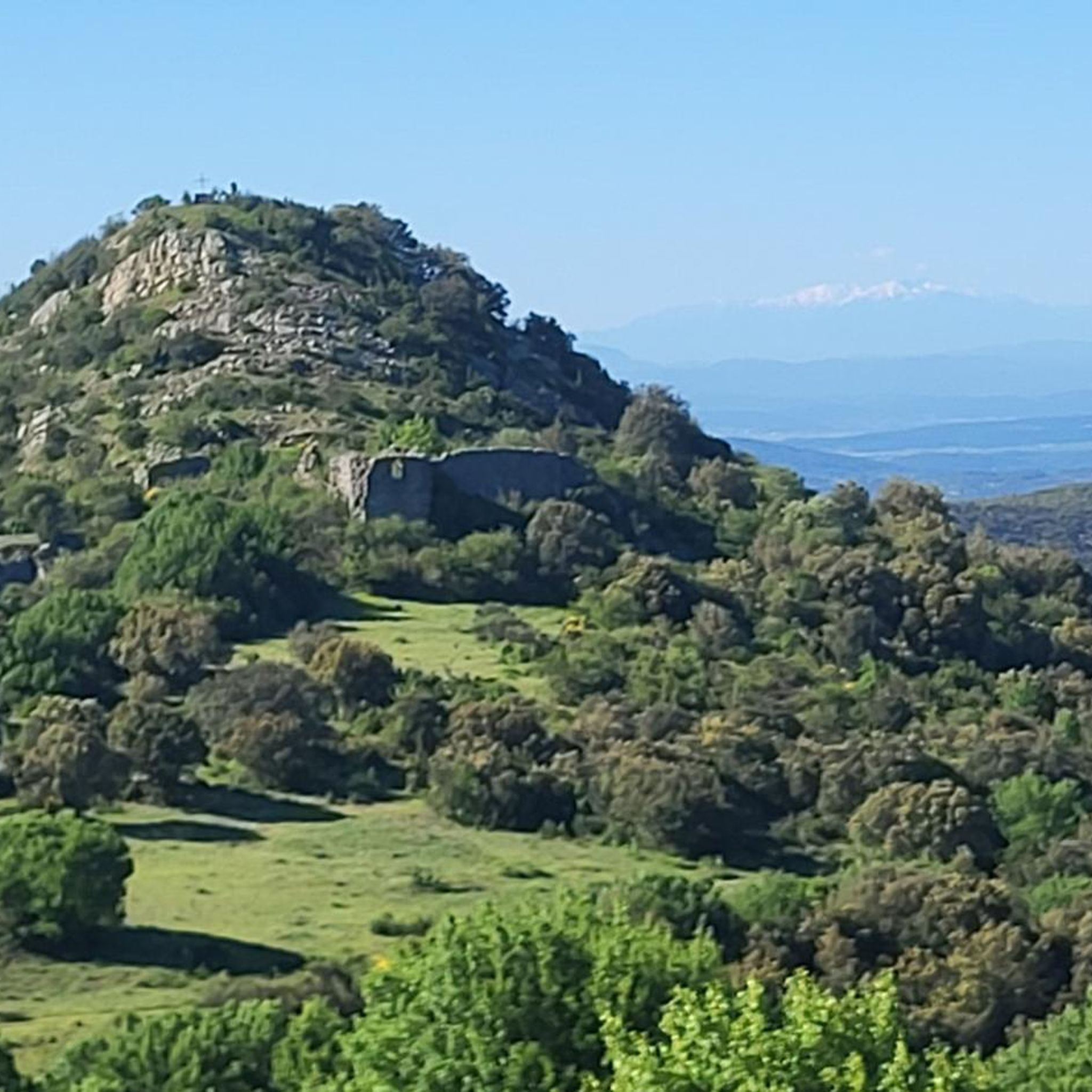
Tips from the Community

The former Saint-Pons Cathedral It is difficult to understand Saint-Pons-de-Thomières without stopping here. The building is the former abbey church of a Benedictine monastery founded in 936, around which the town developed. In 1318, the abbey became the seat of a new bishopric: the church then took on the status of a cathedral, which it retained until the Revolution. The Romanesque building, most of which dates back to the second half of the 12th century, still bears the traces of this turbulent history. Fortified in the Middle Ages, the cathedral was heavily damaged in 1567 during the Wars of Religion. Then, in the 18th century, its appearance was profoundly transformed: in 1716, the orientation of the choir was reversed and a new classical facade was built to the east. The medieval remains are particularly remarkable: the two crenellated towers on the north facade recall the defensive character of the building, while the former west facade preserves precious Romanesque reliefs depicting, in particular, the Last Supper, the Washing of the Feet, the Ascension and the Crucifixion. Inside, there are also marble decorations, choir stalls and an organ dating from 1772.
1
0
Clinging to a rocky outcrop almost encircled by the Jaur, Olargues is a remarkable fortified village whose medieval organization is still perfectly legible. At the summit, the former keep of the castle, transformed into a bell tower in the 17th century after the fortress was destroyed on Cardinal Richelieu's orders, still dominates the valley. Below, the Devil's Bridge, built in the 12th century, has spanned the Jaur for nearly nine centuries. Between the two, "calades" (cobbled alleyways) and old houses invite you to step back in time. It is easy to understand why Olargues is among the Most Beautiful Villages in France!
0
0
Nestled in the mountains of Haut-Languedoc, the Vézoles lake is a dam lake. Built in the mid-20th century for hydroelectric production, it retains the waters of the upper Agout valley in a narrow and largely wooded site, characteristic of the high plateaus of the massif. Located in a transition zone between the large Atlantic and Mediterranean watersheds, this body of water is set in a unique setting.
1
0
Located in the Jaur valley, in the heart of the Hauts cantons of the Hérault, Riols is a vast rural village typical of the Haut-Languedoc. The village is intimately linked to the history of the abbey of Saint-Pons-de-Thomières, founded in the 10th century, on which it long depended. From the Middle Ages onwards, Riols was part of a network of monastic possessions. Even today, the old center retains its valley setting, crossed by the Jaur, around which the main routes and activities developed. The Pont-Vieux and several structures on the river bear witness to this close relationship between the village and its watercourse.
1
0
The Vézoles lake dam, commissioned in 1956 for hydroelectric production, holds back the waters of the Bureau stream in the heart of the Haut-Languedoc region. The site is located in a high plateau area where waters are divided between the large Atlantic and Mediterranean watersheds, giving this relief a particular dimension. From the dam, the lake appears nestled in a forest setting, in a calm and wild atmosphere, typical of the massif's mid-mountain regions.
1
0

One of the many tunnels that punctuate the PassaPaïs greenway, allowing easy crossing of the territory by bicycle.
0
0

On the way to Assignan, a beautiful road to a lovely village. I wouldn't miss a cup of coffee here.
0
0
Frequently Asked Questions
How many gravel bike trails are available around Pardailhan?
There are over 30 gravel bike trails around Pardailhan, offering a wide range of experiences within the Haut-Languedoc Regional Natural Park. These routes vary in difficulty and length, catering to different skill levels.
What kind of terrain can I expect on gravel bike trails near Pardailhan?
Gravel biking around Pardailhan features a diverse and often challenging terrain. You'll encounter mountainous landscapes with significant elevation changes, dense forests of pine and chestnut trees, open ridges, and river valleys like those of the Vernazobre and Cessière. The area is also known for its karst formations, which add to the varied geological features you'll ride through.
Are there any easy or moderate gravel bike routes suitable for beginners or families?
Yes, Pardailhan offers routes suitable for various abilities. While many trails feature challenging climbs, there are also moderate options. For example, the Cessenon-sur-Orb loop from Saint-Chinian is a moderate 43.7 km path exploring the scenic Orb river valley. There are 12 moderate and 3 easy routes in the area, providing less strenuous options.
What are some notable natural features or viewpoints I can see along the gravel trails?
The region is rich in natural beauty. You can expect panoramic views from peaks like Pech Mage (822 meters), the highest point in the commune. The area also features interesting karst formations and the picturesque valleys of the Vernazobre and Cessière rivers. For specific natural highlights, consider visiting the Vésoles Waterfall or the Balconies of Saint-Chinian, which offer stunning vistas.
Are there any circular gravel bike routes in the Pardailhan area?
Yes, many of the gravel routes around Pardailhan are designed as loops, allowing you to start and finish at the same point. Examples include the Olargues Railway Bridge – Voie Verte Passa Paiis loop from Saint-Pons-de-Thomières and the Fenille Tunnel – Fenille Tunnel loop from Courniou, which offers unique tunnel sections.
What do other gravel bikers enjoy most about riding in Pardailhan?
The area is highly rated by the komoot community, with an average score of 4.5 stars from more than 5 reviews. Riders often praise the diverse and challenging terrain, the stunning natural beauty of the Haut-Languedoc Regional Natural Park, and the mix of surfaces found along the trails, from former railway lines to forest paths.
When is the best time of year for gravel biking in Pardailhan?
Pardailhan, located in southern France, benefits from a Mediterranean climate. Spring and autumn generally offer the most pleasant conditions for gravel biking, with milder temperatures and less rainfall. Summers can be hot, while winters are typically mild but may have some wet days. Always check local weather forecasts before heading out.
Are there any historical sites or attractions near the gravel biking routes?
Beyond the natural landscapes, Pardailhan also has historical points of interest. You can find the 17th-century Pardailhan Castle and the ruins of the Pardailho Castle. Additionally, the Natural Tunnel of Minerve is a geological wonder with historical significance in the broader region.
What are the options for parking when gravel biking around Pardailhan?
While specific parking areas for each route are not detailed, many routes start from towns or villages like Saint-Pons-de-Thomières, Saint-Chinian, or Courniou, where public parking is generally available. It's advisable to check the starting point of your chosen route for specific parking information.
Can I find cafes or places to eat near the gravel bike trails?
The routes often pass through or start near villages and towns within the Haut-Languedoc Regional Natural Park. Larger towns like Saint-Chinian and Saint-Pons-de-Thomières offer cafes, restaurants, and other amenities where you can refuel. Smaller villages along the way may also have local establishments.
Are there any particularly challenging gravel routes for experienced riders?
Yes, for experienced riders seeking a challenge, there are 16 difficult routes available. The Vision – Fontfroide Pass loop from Embranchement de Brassac is a demanding 53.2 km route with over 1100 meters of elevation gain, offering a significant test of endurance and skill. The Olargues Railway Bridge – Voie Verte Passa Paiis loop from Saint-Pons-de-Thomières is another difficult option, covering 52.2 km with varied surfaces.
Are dogs allowed on the gravel bike trails in Pardailhan?
While the Haut-Languedoc Regional Natural Park generally welcomes visitors, specific regulations regarding dogs on trails can vary. It's always best to keep dogs on a leash, especially in protected areas or near livestock, and to check for any local signage or park guidelines before bringing your dog on a ride.
Most popular routes around Pardailhan
Most popular attractions around Pardailhan

Get inspired with the komoot mobile app


Explore more
Browse the best Gravel rides in other regions.
