The best gravel rides around Saint-Pargoire
4.0
(6)
79
riders
23
rides
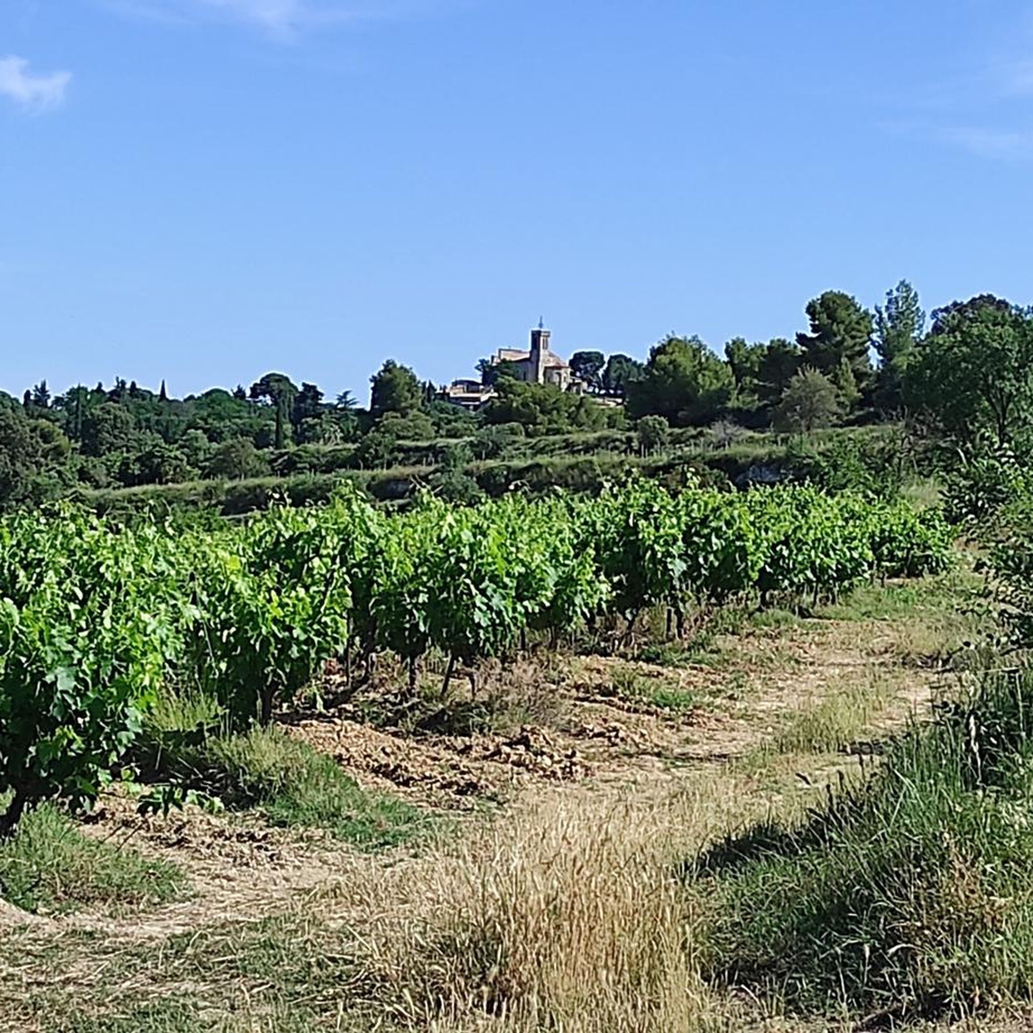
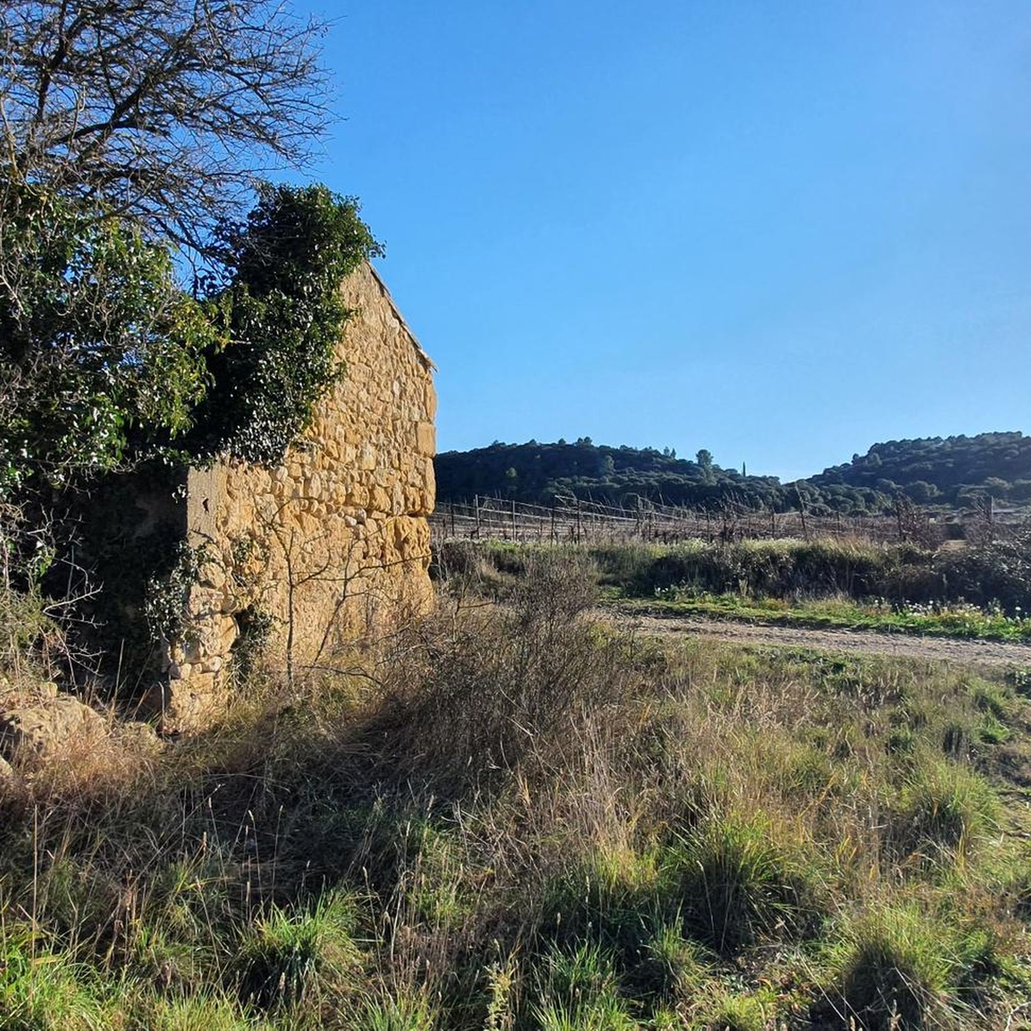
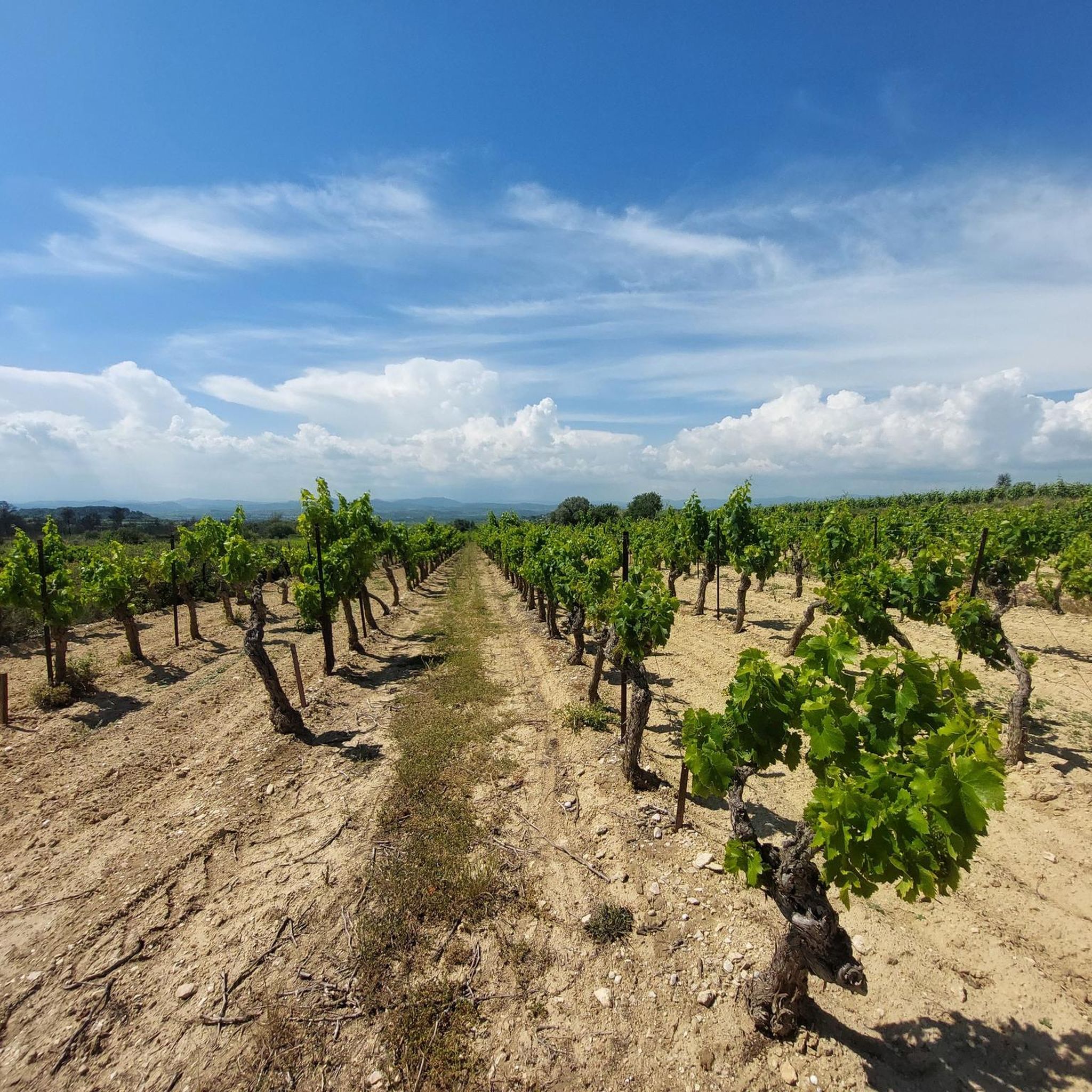
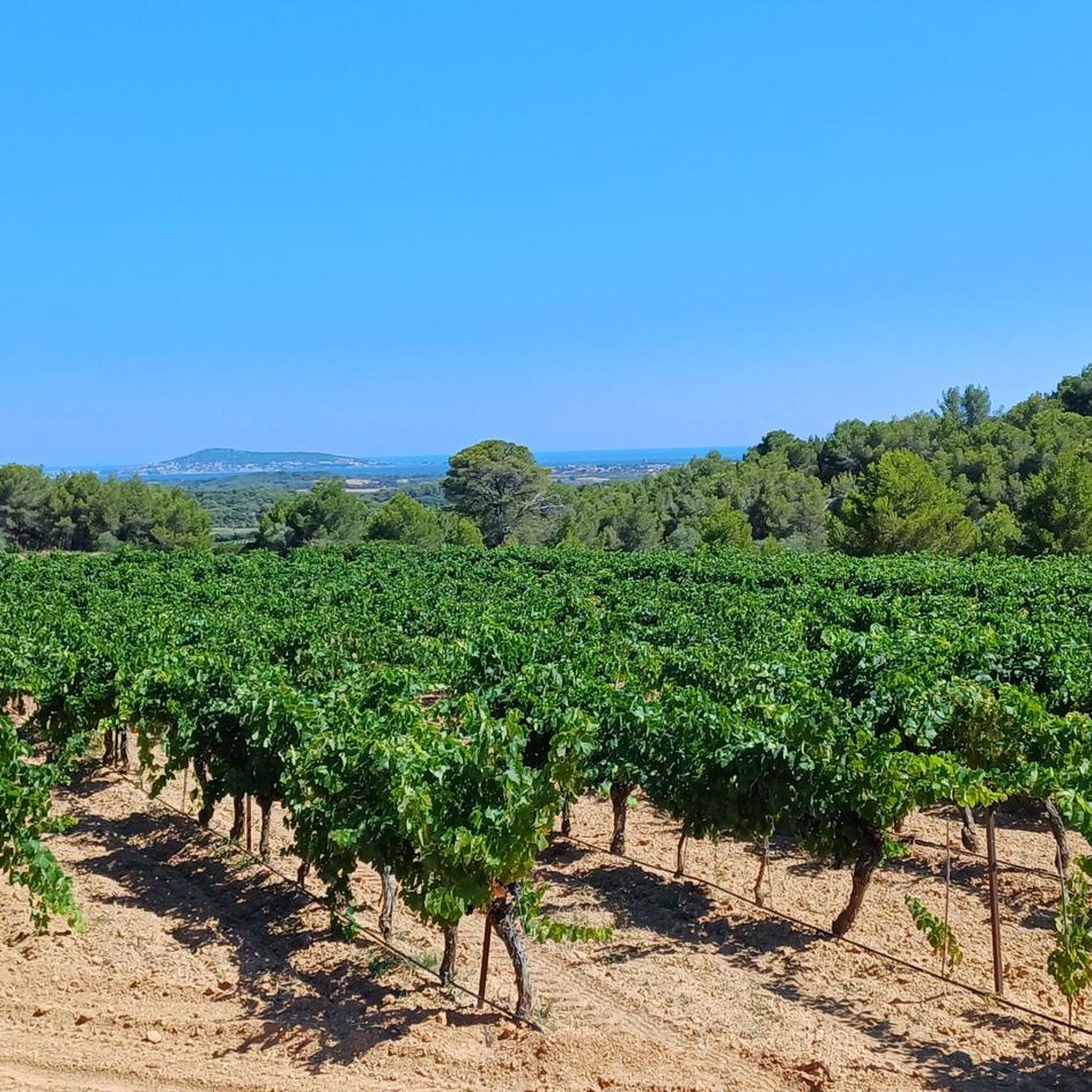
Gravel biking around Saint-Pargoire offers a network of routes through varied terrain. The region features rolling countryside, rural roads, and paths that connect local villages and vineyards. Elevations are generally moderate, with some routes including more significant climbs. The landscape provides a mix of open views and shaded sections, suitable for off-road cycling.
Best gravel bike trails around Saint-Pargoire
- The most popular gravel bike trail is Pézenas – Aumes loop from Aspiran, a 49.5 miles (79.7 km) difficult trail…
Last updated: November 3, 2026
9
riders
29.9km
02:13
360m
360m
Moderate gravel ride. Good fitness required. Mostly paved surfaces.
9
riders
26.5km
02:00
320m
330m
Moderate gravel ride. Good fitness required. Mostly paved surfaces.

4.0
(1)
11
riders
55.7km
03:37
580m
580m
Hard gravel ride. Very good fitness required. Mostly paved surfaces.
4.0
(1)
2
riders
23.8km
01:41
230m
230m
Moderate gravel ride. Good fitness required. Mostly paved surfaces.
2.0
(1)
8
riders
33.8km
02:12
400m
400m
Moderate gravel ride. Good fitness required. Mostly paved surfaces.
Get access to more routes and recommendations from other explorers.
Already have an account?
Our route recommendations are based on thousands of hikes, rides, and runs completed by other people on komoot.
Start today with a free account
Your next adventure awaits.
Tips from the Community

On Rue de Laval, in Vendémian, a small cast-iron fountain offers a welcome water point on the route. Its rounded back is adorned with relief decoration: a bearded mascaron amidst foliage, an animal head from which the water flows, and then a bouquet of reeds and flowers. The semi-circular basin, protected by a grate, is bordered by a leaf frieze. Water is obtained by turning the black knob placed at the top.
2
0
The terrain here takes on a reddish hue, but these rocks are not the ruffes of Salagou! These are continental sedimentary formations laid down in the Paleocene, about 65 to 61 million years ago. Deposited by ancient watercourses, the materials formed conglomerates, sandstones (the red gravel observed here), and marly limestones. Their reddish coloration is linked to the presence of iron oxides. The contrast with the ruffes (local name for the red rocks of Salagou) is as chronological as it is geological: formed in the Permian, about 271 million years ago, the ruffes are nearly 200 million years older. They result from the accumulation of fine sediments, notably clay and silt, in continental basins on periodically flooded plains. These deposits, subjected to alternating periods of flooding and drying, gradually consolidated into red pelites, the color of which is also linked to iron oxides.
1
0

This small village has assets to showcase. Do not hesitate to linger to visit its church, its old collegiate chapel converted into a media library, its well or its presbytery.
1
0

Superb route. But can one always pass between the Château d'Aumelas and the Rouvière plain???
0
0
About 2.5 km east of Castelnau-de-Guers, in the heart of the pines, this small chapel preserves the memory of a place much older than itself. The site is attested as early as 1106 under the name Ecclesiam S. Nicholay de Talpussiac. Archaeological surveys carried out in 1992 also revealed nearby the remains of a rural settlement from late antiquity, testifying to an ancient occupation of the area. The current chapel, with an oblong plan, is much more recent: it was consecrated in 1819 and is now disused. It is located on the edge of the fishmonger's path (cami peissonier), an ancient route connecting the Étang de Thau area to Pézenas.
3
0
From Bouissat (191 m altitude), the view opens widely to the south and southwest. Poussan appears in the foreground. Beyond, the Montagne de la Gardiole stands out, forming a long relief line between the plain and the coast. The panorama extends to the Thau basin and Sète. In particular, the Mont Saint-Clair can be distinguished in the distance, clearly dominating the city and serving as an excellent landmark for orienting oneself in the landscape.
3
0
Perched on a promontory overlooking the Hérault valley, the Saint-Antoine hermitage seems out of time. Mentioned as early as the 17th century, this secluded place once welcomed hermits seeking isolation and spiritual life in the heart of the garrigue. Today in ruins, the chapel and its remains still tell of this austere life focused on contemplation and the surrounding landscapes.
2
0

A few hundred meters from the village of Castelnau-de-Guers, in the middle of a pine wood, the Saint-Nicolas-de-Talpusiac chapel was built on a hill at the foot of which passes the fishermen's path (cami peissonier) connecting the Étang de Thau to Pézenas. The chapel is mentioned in 1106 under the name "Ecclesiam S. Nicholay de Talpussiac". The name Talpussiac, translated as "Talpussiac's domain", suggests an ancient origin for the site. Archaeological surveys near the chapel led to the discovery in 1992 of the site of a rural settlement from late Antiquity. The current chapel, oblong in plan, and its south and west facades are pierced by a door. It was consecrated in 1819, but is now disused.
0
0
Frequently Asked Questions
What is the general difficulty level of gravel bike trails around Saint-Pargoire?
The gravel biking routes around Saint-Pargoire offer a mix of challenges. You'll find 18 moderate routes and 13 difficult routes, providing options for various skill levels. The region features rolling countryside and rural roads, with some routes including more significant climbs.
Are there challenging gravel routes for experienced riders in Saint-Pargoire?
Yes, experienced riders will find several challenging options. For instance, the Pézenas – Aumes loop from Aspiran is a difficult 49.5-mile (79.7 km) trail with over 1250 meters of elevation gain. Another demanding route is the Pézenas – Historic Centre of Pézenas loop from Adissan, covering 40.7 miles (65.5 km) with nearly 980 meters of ascent.
What are the typical distances for gravel bike routes in the Saint-Pargoire area?
Gravel bike routes in the Saint-Pargoire area vary in length. You can find shorter loops like the Montbazin Church – On the heights of Poussan 😍 loop from Poussan at 16.5 miles (26.5 km), up to longer, more challenging rides such as the Sheepfold top – Viewpoint loop from Poussan which is 34.6 miles (55.7 km) long.
Where do the gravel bike trails typically start around Saint-Pargoire?
Many gravel bike trails in the region start from nearby villages and towns, offering convenient access. For example, routes like the Pézenas – Aumes loop begins from Aspiran, while others depart from Poussan or Cournonsec, allowing you to explore different sections of the varied terrain.
Are there family-friendly gravel biking options in Saint-Pargoire?
While there are no routes specifically classified as 'easy' in our current selection, many of the 18 moderate routes could be suitable for families with some gravel biking experience. These routes often follow rural roads and vineyard paths with moderate elevations, offering a pleasant experience away from heavy traffic.
What is the best time of year for gravel biking in Saint-Pargoire?
The region's climate generally allows for gravel biking throughout much of the year. Spring and autumn offer pleasant temperatures and vibrant landscapes, ideal for exploring. Even in winter, many routes remain accessible, though conditions can vary, so checking local weather is always recommended.
What kind of terrain can I expect on gravel bike trails around Saint-Pargoire?
The terrain around Saint-Pargoire is diverse, characterized by rural roads, vineyard paths, and rolling hills. You'll encounter a mix of open views across the countryside and shaded sections, providing a varied and engaging off-road cycling experience.
What can I see along the gravel bike trails around Saint-Pargoire?
Many routes offer opportunities to discover local points of interest. For example, the Montbazin Church – On the heights of Poussan 😍 loop passes by the Montbazin Church. You can also explore historical sites like the Pézenas Historic Centre or the Ruins of the Saint-Antoine Hermitage, which are accessible from some routes.
Are there circular gravel bike routes available in Saint-Pargoire?
Yes, the majority of gravel bike routes around Saint-Pargoire are designed as circular loops, allowing you to start and finish at the same point. Examples include the On the heights of Poussan 😍 – Montbazin Church loop from Cournonsec and the Sheepfold top – Viewpoint loop from Poussan.
What do other gravel bikers enjoy the most about gravel biking in Saint-Pargoire?
The area is highly rated by the komoot community, with an average score of 3.9 stars from over 5 reviews. Riders often praise the varied terrain, the network of rural roads and vineyard paths, and the opportunity to explore the charming regional landscape.
How many gravel bike trails are there in Saint-Pargoire?
There are over 30 gravel bike trails available around Saint-Pargoire, offering a wide range of options for exploring the region's diverse landscapes.
Most popular routes around Saint-Pargoire
Most popular attractions around Saint-Pargoire

Get inspired with the komoot mobile app


Explore more
Browse the best Gravel rides in other regions.
