The best gravel rides around Villeveyrac
4.1
(9)
138
riders
45
rides
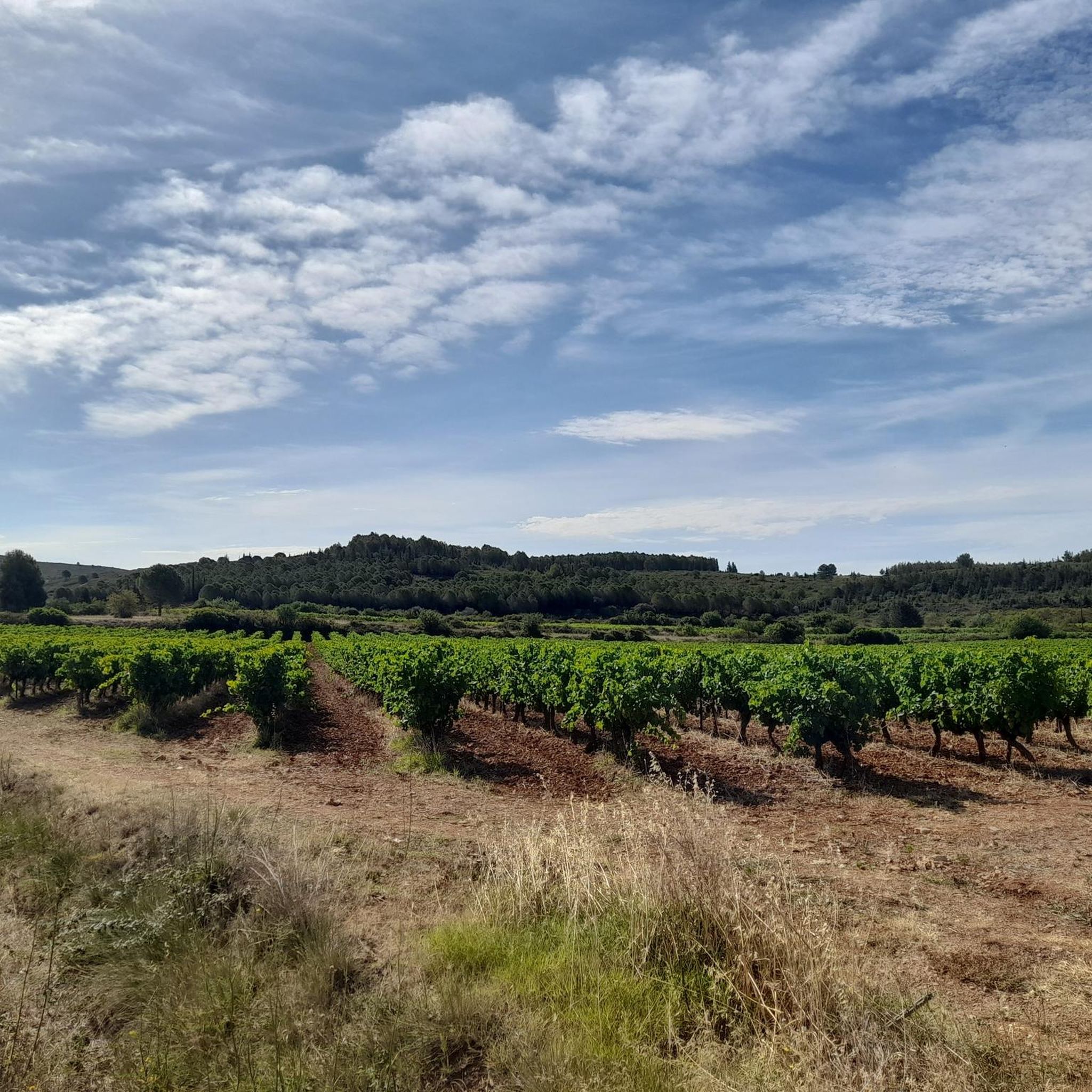
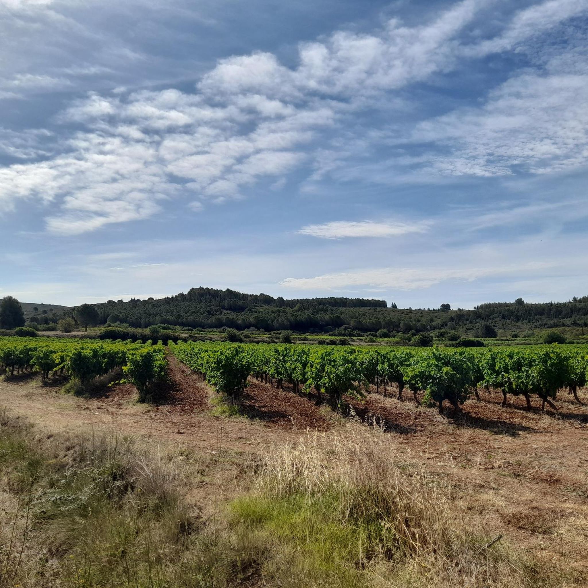
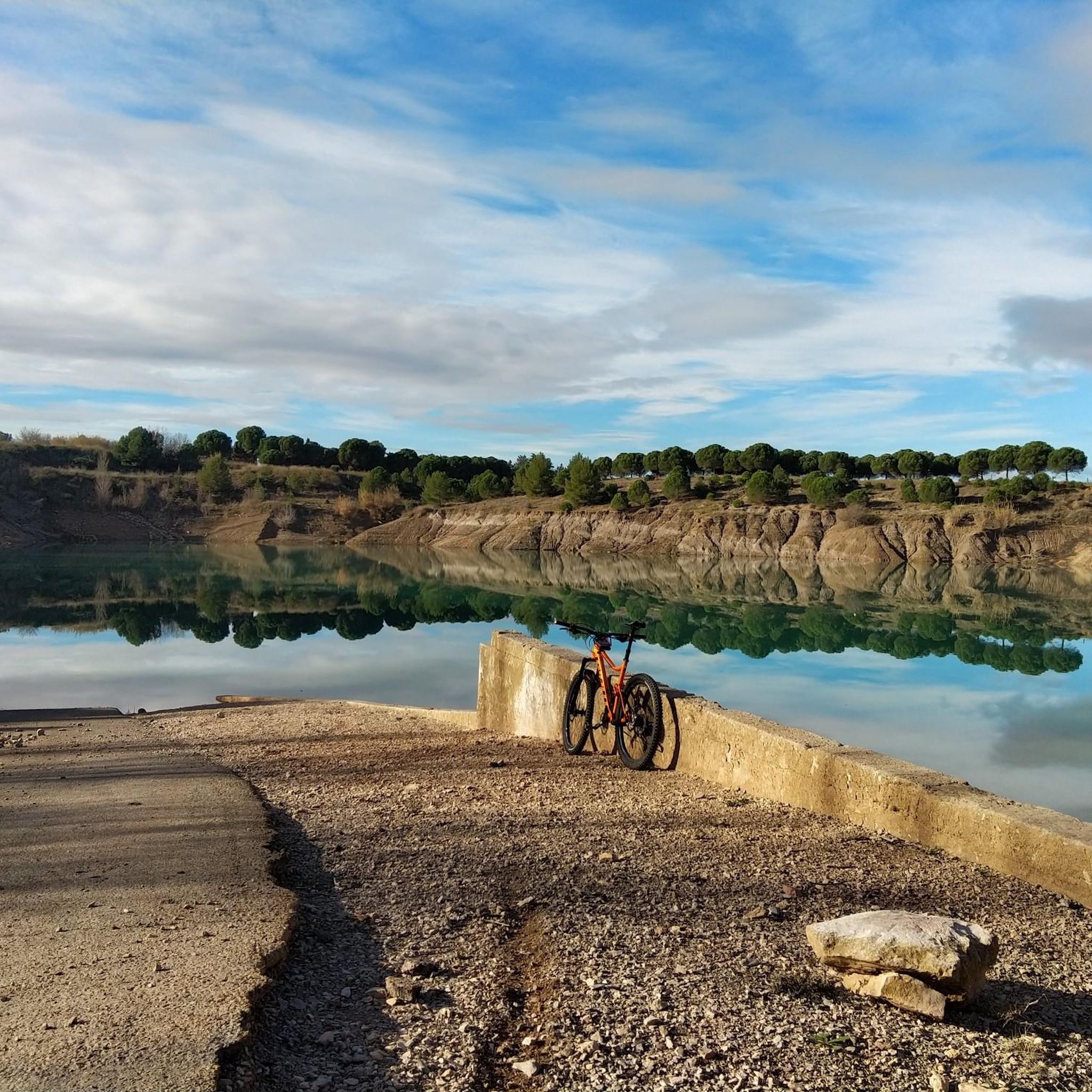
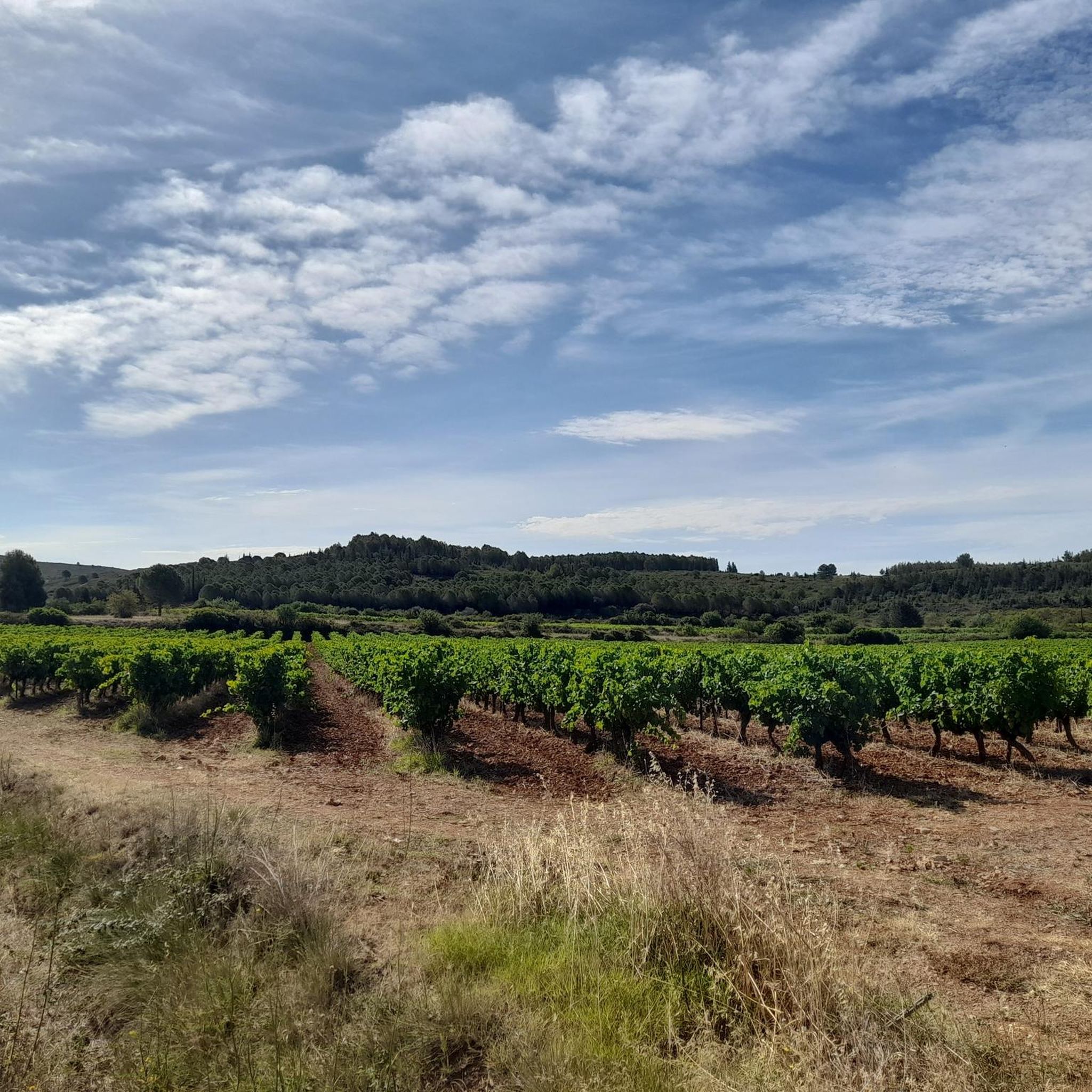
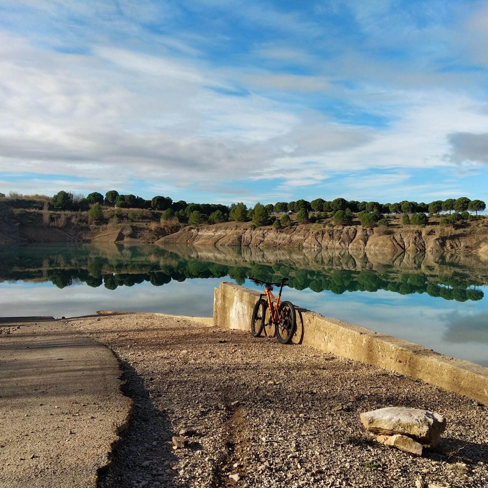
Gravel biking around Villeveyrac offers diverse terrain, from coastal plains to rolling hills and vineyard-lined paths. The region is characterized by its proximity to the Étang de Thau, providing routes along nature reserves and greenways. Riders can expect a mix of flat, fast sections and gentle ascents through Mediterranean landscapes, including vineyards, olive groves, and forest trails. The Plaine de Villeveyrac-Montagnac, a Natura 2000 site, also features varied environments for exploration.
Best gravel bike trails around Villeveyrac
- The most popular…
Last updated: November 3, 2026
9
riders
29.9km
02:13
360m
360m
Moderate gravel ride. Good fitness required. Mostly paved surfaces.
9
riders
26.5km
02:00
320m
330m
Moderate gravel ride. Good fitness required. Mostly paved surfaces.

14
riders
39.8km
02:36
340m
340m
Moderate gravel ride. Good fitness required. Mostly paved surfaces.
4.0
(1)
11
riders
55.7km
03:37
580m
580m
Hard gravel ride. Very good fitness required. Mostly paved surfaces.
4.0
(2)
20
riders
46.5km
02:45
210m
210m
Hard gravel ride. Good fitness required. You may need to push your bike for some segments of this route.
Get access to more routes and recommendations from other explorers.
Already have an account?
Our route recommendations are based on thousands of hikes, rides, and runs completed by other people on komoot.
Start today with a free account
Your next adventure awaits.
Tips from the Community

The Étang de Thau is the largest lagoon in Occitania and a species-rich inland sea, separated from the Mediterranean by a narrow sandbank. The waters are the center of South French oyster farming, whose hanging mussel beds shape the landscape. As a nautical hub, the lagoon also connects the famous Canal du Midi with the Canal du Rhône à Sète. Along the shore, charming towns line up, such as the fishing town of Sète, the vermouth town of Marseillan, and the oyster towns of Bouzigues and Mèze, which can be perfectly explored via the 53-kilometer-long cycling route around the basin.
0
0

From this path, the view descends towards Vic-la-Gardiole and its pond.
3
0
This sector offers a climb on a limestone ground characteristic of the massif. The view opens up magnificently over the Thau lagoon and its shellfish farming tables. On a clear day, you can also enjoy a panorama of the Combe de Saint-Félix and the ruins of the ancient Benedictine abbey of Saint-Félix-de-Montceau.
3
0
This wooden footbridge or "Passerelle d'Ingril" allows you to cross part of the wetlands bordering the Étang d’Ingril. The trail rises slightly above the marshy ground, offering direct contact with the different coastal environments of Les Aresquiers: lagoon, marsh, sansouïre, and pine forest. This landscape is closely linked to the history of the old salt pans of Frontignan, exploited for three centuries until 1968.
3
0
This wooden footbridge or "Passerelle d'Ingril" allows you to cross a part of the wetlands bordering the Étang d'Ingril. The path rises slightly above the marshy ground, offering direct contact with the different coastal environments of Aresquiers: lagoon, marsh, sansouïre, and pine forest. This landscape is closely linked to the history of the old salt pans of Frontignan, exploited for three centuries until 1968.
3
0
From the greenway, the panorama opens onto the Étang de Vic. This vast coastal lagoon of over 1,000 hectares stretches between the Gardiole massif and the Aresquiers lido. Protected within the Natura 2000 site of the Palavasian ponds and recognized as a wetland of international importance under the Ramsar convention, the pond forms a vast landscape of lagoon, salt marshes, and wetlands here. This opening allows its full extent to be appreciated from the surroundings of Vic-la-Gardiole.
3
0

⚓ Écluse du Bagnas – one of the last locks on the Canal du Midi The Écluse du Bagnas is located near Agde at the eastern end of the Canal du Midi. It was built around 1676 and is therefore one of the historic locks from the canal's early days. 📍 Canal kilometer: approx. 235.3 km from Toulouse ⚙️ Type: single lock with one chamber 🌊 Altitude: only about 2 meters above sea level 🚤 Distance to Les Onglous / Étang de Thau: only just under 5 km Historically, the lock chambers here were about 30 meters long and 6 meters wide at the gates. The eastern section of the Canal du Midi was later modernized for larger ships; today, the usable lock dimensions in this area are around 40.6 × 5.85 meters. Its location is particularly interesting: the Bagnas lock is situated in the middle of a wetland and separates different water areas here. Behind it, you are practically on the final straight of the Canal du Midi – via Les Onglous, the canal flows into the Étang de Thau, and from there, there is the connection towards Sète and the Mediterranean Sea. 🌊🇫🇷 After more than 235 kilometers of canal route, you have almost reached the Mediterranean Sea here – a small but historically interesting structure at the end of the Canal du Midi. 🚲👌🏼 Greetings Marcus ✌🏼
1
0
Built around 1676, the Bagnas lock is a simple lock on the Canal du Midi, located between Agde and the Étang de Thau. It is one of the last structures on the canal before its outlet at Les Onglous, where the canal joins the lagoon. In the immediate vicinity of Bagnas, a vast coastal wetland, the lock is also associated with a spillway intended to drain excess water.
4
0
Frequently Asked Questions
How many gravel bike trails are available around Villeveyrac?
There are over 50 gravel bike trails in the Villeveyrac area, offering a wide range of options for different skill levels. This includes 3 easy routes, 30 moderate routes, and 20 more challenging trails.
What do other gravel bikers enjoy most about the trails around Villeveyrac?
The komoot community highly rates the gravel biking experience around Villeveyrac, with an average score of 4.4 stars from over 20 reviews. Riders often praise the diverse terrain, which includes coastal plains, rolling hills, and vineyard-lined paths, as well as the scenic canal paths and nature reserves.
Are there easy gravel bike trails suitable for beginners or families near Villeveyrac?
Yes, there are several easy gravel bike trails perfect for beginners or families. A great option is the Greenway under the bridge – Old fishing port loop from Balaruc-les-Bains, which is 11.4 miles (18.4 km) long with minimal elevation gain, making it very accessible.
What are some more challenging gravel bike routes around Villeveyrac?
For those seeking a challenge, the region offers 20 difficult routes. The Voie Verte Canal du Midi – Bagnas Nature Reserve loop from Mèze is a longer, more demanding ride at 41.2 miles (66.3 km) with over 230 meters of elevation gain, exploring the Canal du Midi and the Bagnas Nature Reserve.
What is the typical length and duration of gravel bike routes in the Villeveyrac area?
Gravel bike routes around Villeveyrac vary significantly in length and duration. You can find shorter rides like the Greenway under the bridge – Old fishing port loop from Balaruc-les-Bains at 11.4 miles (18.4 km) taking about 1 hour 15 minutes, up to longer excursions such as the Voie Verte Canal du Midi – Bagnas Nature Reserve loop from Mèze, which is 41.2 miles (66.3 km) and typically takes around 4 hours 35 minutes.
Are there circular gravel bike routes available near Villeveyrac?
Yes, many of the gravel bike routes around Villeveyrac are designed as loops, allowing you to start and finish at the same point. Examples include the On the heights of Poussan 😍 – Montbazin Church loop from Cournonsec and the View of the Étang de Thau – Bagnas Nature Reserve loop from Mèze.
What kind of natural landscapes and wildlife can I expect to see on these trails?
The trails often pass through diverse Mediterranean landscapes, including vineyards, coastal plains, and rolling hills. You'll frequently encounter the Étang de Thau and its associated nature reserves, such as the Bagnas Nature Reserve, which is known for its birdlife and unique ecosystems. Keep an eye out for various bird species, especially near the wetlands.
Are there any notable viewpoints or attractions along the gravel bike routes?
Absolutely. Many routes offer stunning views, particularly of the Étang de Thau and the distant town of Sète. Highlights include the Stunning view of the Thau Lagoon and Sète. You can also pass by cultural sites like the Abbaye Saint Félix de Montceau or the Port of Mèze.
What is the best season for gravel biking around Villeveyrac?
The Mediterranean climate makes spring and autumn ideal for gravel biking around Villeveyrac. Temperatures are pleasant, and the landscapes are vibrant. Summer can be very hot, so early morning or late afternoon rides are recommended, while winter can be cooler but still offers rideable days, especially along the coast.
Are there any routes that offer views of the Étang de Thau?
Yes, several routes provide excellent views of the Étang de Thau. The View of the Étang de Thau – Bagnas Nature Reserve loop from Mèze is specifically designed to showcase these vistas, combining coastal riding with exploration of the nature reserve.
Can I find cafes or places to stop for refreshments along the gravel bike routes?
While specific cafes are not listed for every route, many trails pass through or near charming villages and towns like Mèze, Poussan, and Balaruc-les-Bains. These locations typically offer opportunities to stop for refreshments, especially near the ports or town centers.
What kind of terrain can I expect on the gravel bike trails?
The terrain is quite varied, ranging from smooth, compacted gravel paths along canal ways and greenways to more rugged, unpaved country roads and vineyard tracks. You'll encounter a mix of flat, fast sections and gentle ascents through the rolling hills, providing a diverse riding experience.
Most popular routes around Villeveyrac
Most popular attractions around Villeveyrac

Get inspired with the komoot mobile app


Explore more
Browse the best Gravel rides in other regions.
