The best gravel rides around Saint-Jean-De-Vaulx
4.6
(9)
66
riders
10
rides
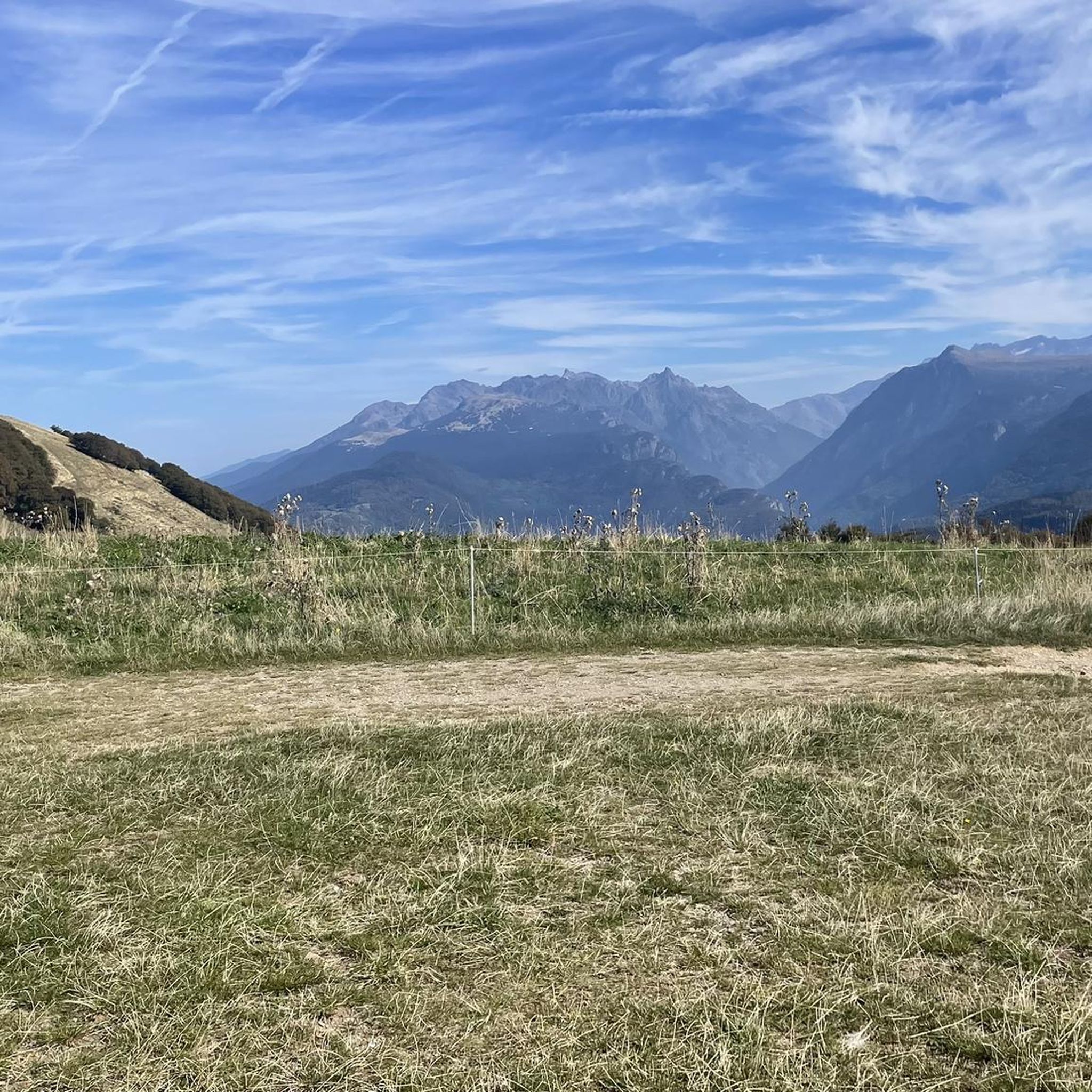
Gravel biking around Saint-Jean-De-Vaulx offers routes through a landscape characterized by significant elevation changes, mountain passes, and scenic views of the Vercors mountains. The region, nestled in the Isère department of the French Alps, features a mix of forest paths, open areas, and varied natural features. This terrain provides a challenging environment for gravel cyclists, with routes often including substantial climbing and descents. The diverse landscapes make Saint-Jean-De-Vaulx a destination for those seeking varied gravel trail difficulty and elevation.
Best…
Last updated: October 6, 2026
5.0
(2)
22
riders
91.7km
06:05
1,510m
1,510m
Hard gravel ride. Very good fitness required. Mostly paved surfaces. Suitable for all skill levels.
5.0
(2)
10
riders
42.5km
03:16
1,100m
1,100m
Hard gravel ride. Very good fitness required. Mostly paved surfaces. Suitable for all skill levels.

4.0
(1)
2
riders
Moderate gravel ride. Good fitness required. Mostly paved surfaces. Suitable for all skill levels.
4.3
(4)
10
riders
42.9km
03:18
960m
960m
Hard gravel ride. Very good fitness required. Mostly paved surfaces. Suitable for all skill levels.
4
riders
60.8km
04:41
1,630m
1,630m
Hard gravel ride. Very good fitness required. Mostly paved surfaces. Suitable for all skill levels.
Get access to more routes and recommendations from other explorers.
Already have an account?
Our route recommendations are based on thousands of hikes, rides, and runs completed by other people on komoot.
Start today with a free account
Your next adventure awaits.
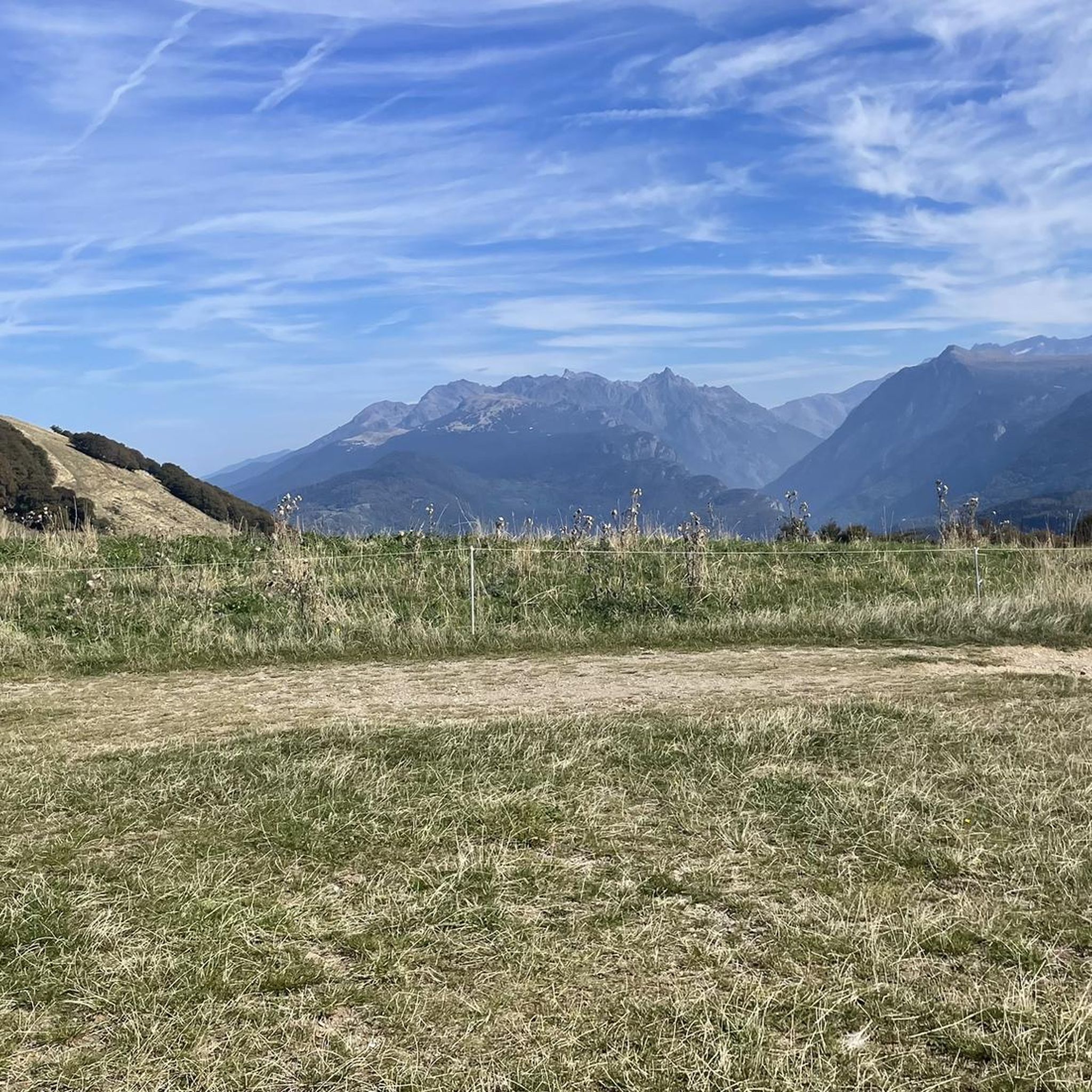
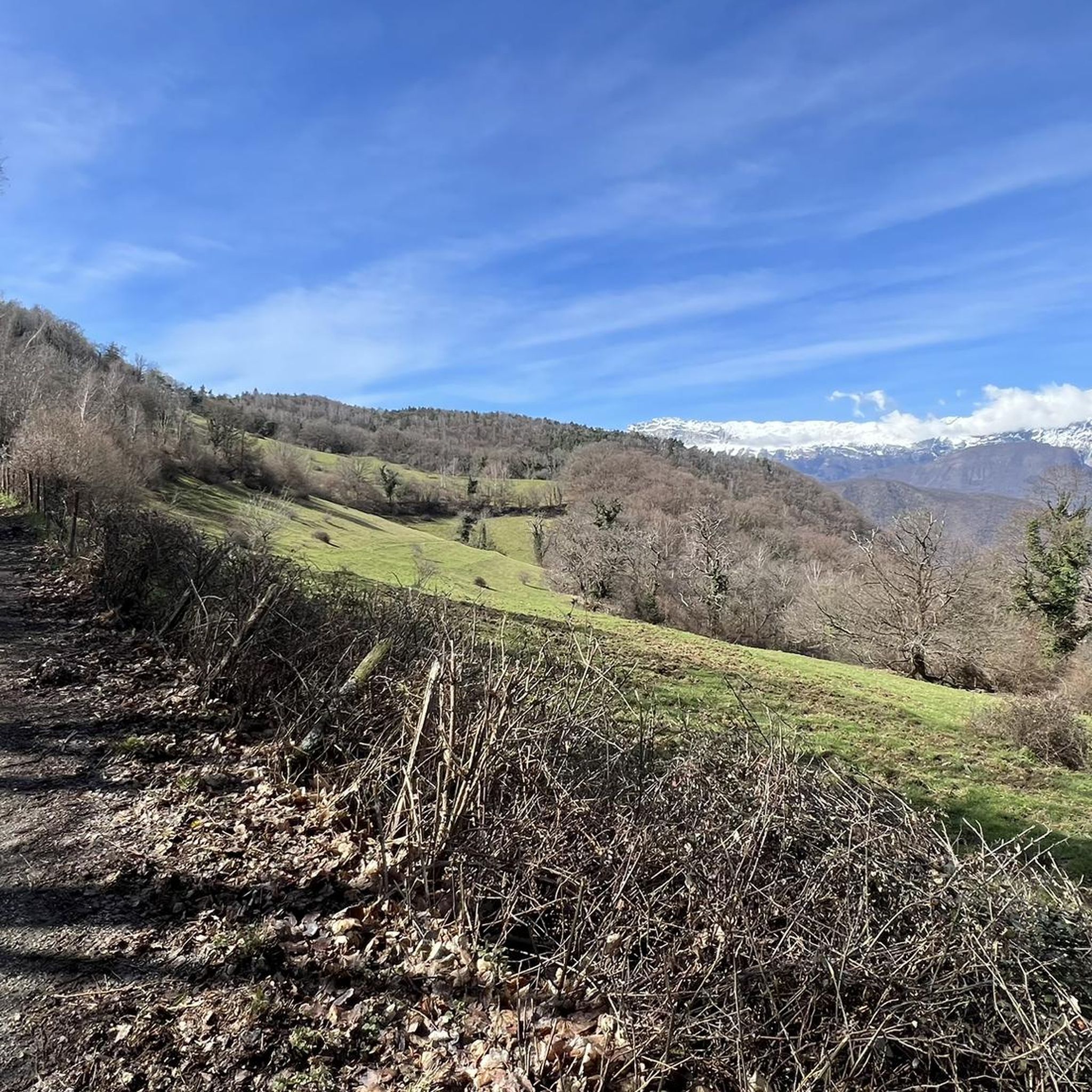
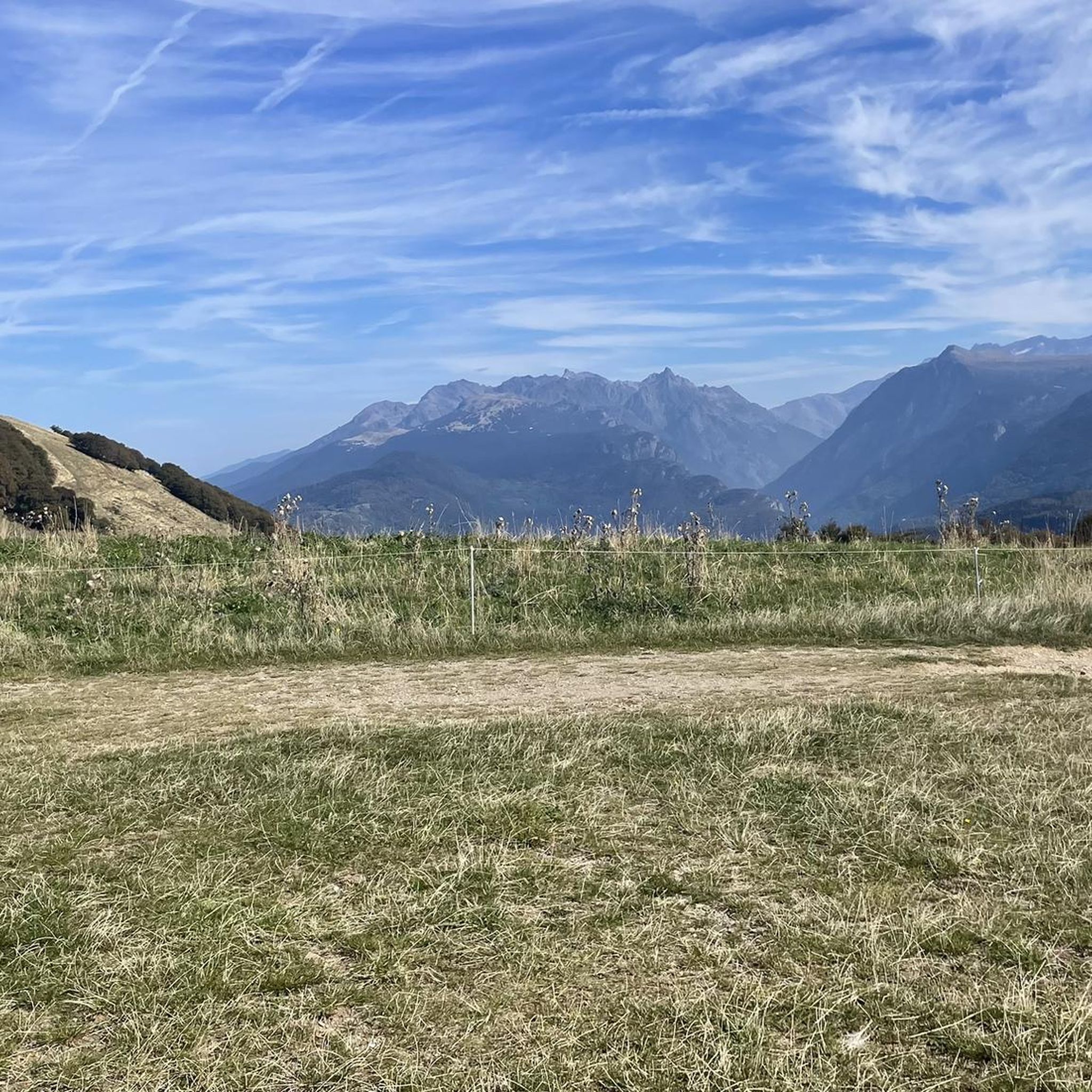
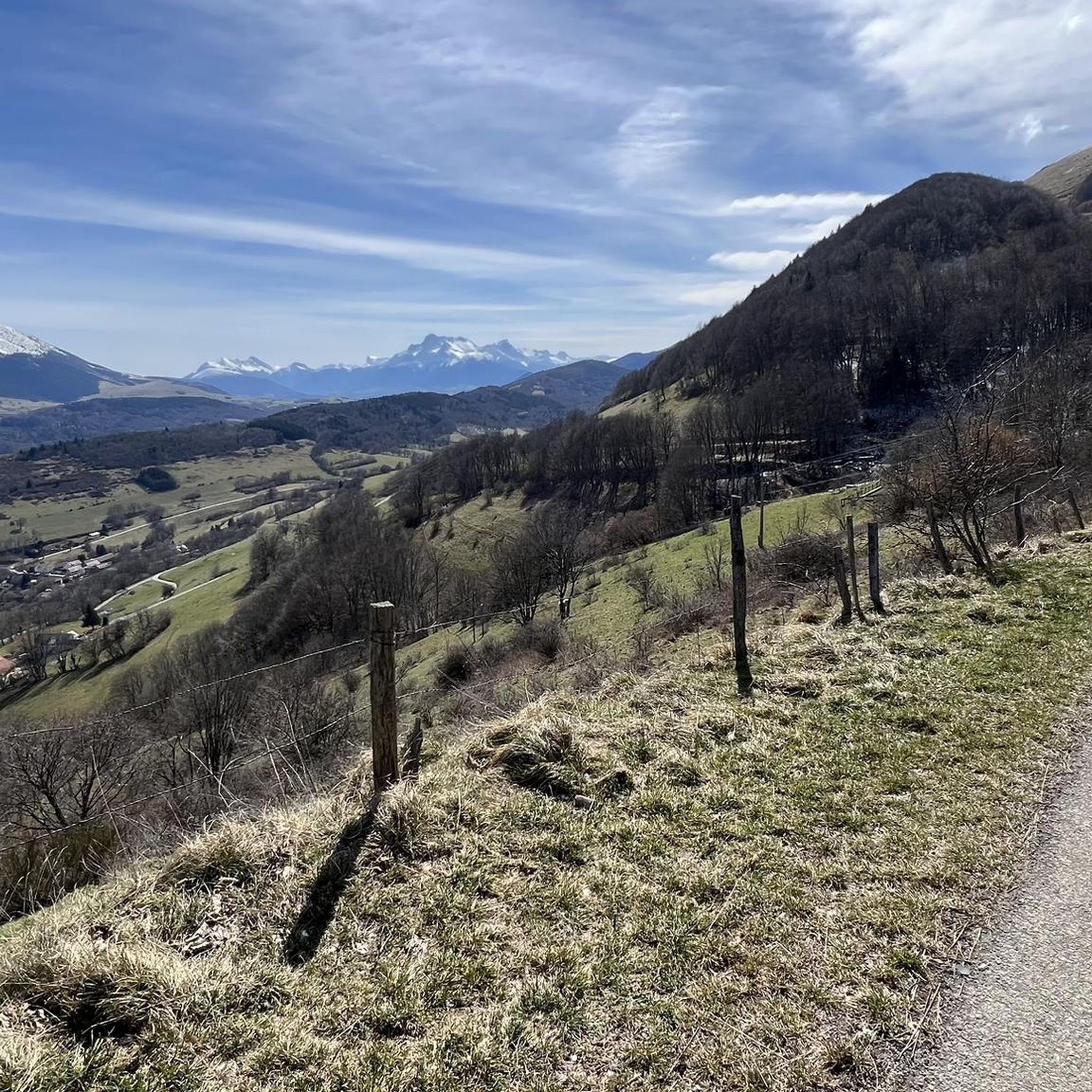

Tips from the Community

Superb gravel track to reach Lans-en-Vercors and Villars-de-Lans.
0
0
Joli chemin avec anciens tunnels et une pente régulière mais en vélo gravel le chemin est plutôt cassant et pas très agréable.
0
0

La ViaVercors, the first mountain greenway, offers a discovery route for tourism and leisure purposes over nearly 55 km. Located in the Vercors Regional Natural Park, it connects the municipalities of the territory to form an inter-municipal link for ecomobility. Engins, Saint-Nizier-du-Moucherotte, Lans-en-Vercors, Villard-de-Lans, Corrençon-en-Vercors, Autrans-Méaudre en Vercors, no municipality is forgotten.
0
0
The Via du Tram route, from Grenoble to Saint-Nizier-du-Moucherotte, follows the historic route of the tramway line built in 1909. This path takes you on a discovery of the region's wonders and its rich history. From the Resistance and its maquisards during World War II to the unique architecture of a former Olympic ski jump, you will visit, through fields, typical hamlets, and wooded valleys, environments with multiple curiosities. The 1,200 meters of elevation gain on the route will lead you to superb viewpoints.
0
0
The Via du Tram trail, from Grenoble to Saint-Nizier-du-Moucherotte, follows the historic route of the tramway line built in 1909. This path takes you on a discovery of the region's wonders and its rich history. From the Resistance and its partisans during World War II to the unique architecture of an old Olympic ski jump, you will visit, through fields, typical hamlets, and wooded valleys, environments with multiple points of interest. The trail's 1,200 meters of elevation gain will lead you to superb viewpoints.
0
0
The Via du Tram route, from Grenoble to Saint-Nizier-du-Moucherotte, follows the historic route of the tramway line built in 1909. This path takes you to discover the wonders of the region and its rich history. From the Resistance and its maquisards during the Second World War to the unique architecture of a former Olympic ski jump, you will visit, through fields, typical hamlets and wooded valleys, environments with multiple curiosities. The 1,200 meters of elevation gain on the route will lead you to superb viewpoints.
0
0

Overall, a smooth and comfortable gravel route. A few sections are a bit bumpier. Certainly the best option for a leisurely climb towards the Vercors mountains, safe and secure, in a beautiful setting and somewhat shaded when the sun is beating down.
1
0

The little road that goes down from Cholonge is great and on arrival you have a superb view of Lake Lafrey
0
0
Frequently Asked Questions
What is the typical difficulty level of gravel bike trails around Saint-Jean-De-Vaulx?
Gravel biking in Saint-Jean-De-Vaulx is characterized by challenging terrain with significant elevation changes. All available routes are rated as difficult, making them best suited for experienced gravel bikers. Expect mountain passes and demanding climbs.
Are there any family-friendly or beginner gravel bike routes in Saint-Jean-De-Vaulx?
The gravel bike routes around Saint-Jean-De-Vaulx are generally challenging, featuring substantial elevation gains and difficult terrain. There are no routes specifically categorized as easy or moderate, so beginners or families with young children might find them too demanding.
What kind of distances can I expect on gravel bike trails in this region?
The gravel bike trails in Saint-Jean-De-Vaulx offer a range of distances suitable for a challenging day out. For example, the Collet of Sinard, 900 m – View of the Vercors Mountains loop from Sinard is about 17.9 km (11.1 miles), while the longest, Start of Balcon Est du Vercors – Col de l'Arzelier loop from Saint-Georges-de-Commiers, extends to approximately 60.8 km (37.8 miles).
What are the best times of year for gravel biking in Saint-Jean-De-Vaulx?
Given the region's significant elevation changes and mountain passes, spring through autumn generally offers the most favorable conditions for gravel biking. Winters can bring snow and ice, making many trails impassable or significantly more challenging. Always check local weather forecasts before heading out.
Are there any loop gravel bike trails available?
Yes, all the gravel bike routes listed for Saint-Jean-De-Vaulx are designed as loops, allowing you to start and finish at the same point. Examples include the Four Lords Pass – Col des Quatre Seigneurs loop from Au Coin and the Nice View – Lake Monteynard loop from Saint-Georges-de-Commiers.
What kind of views can I expect along the gravel bike routes?
The routes offer panoramic views of the Vercors mountains and local water bodies. For instance, the Nice View – Lake Monteynard loop from Saint-Georges-de-Commiers provides expansive vistas of Lake Monteynard, while the View of the Vercors – View of the Drac River loop from La Motte-d'Aveillans offers stunning perspectives of both the Vercors and the Drac River.
What do other gravel bikers enjoy most about gravel biking in Saint-Jean-De-Vaulx?
The area is highly rated by the komoot community, with an average score of 5.0 stars. Reviewers often praise the challenging mountain passes, the diverse terrain, and the panoramic views of the Vercors mountains and river valleys.
Are there any notable natural attractions or viewpoints along the trails?
Yes, the region is rich in natural beauty. You can find several viewpoints and natural landmarks. For example, you might encounter the The Belvedere of Alpe du Grand Serre or enjoy views towards Mont Aiguille. The area also features several beautiful lakes like Lake Laffrey and Étang de Haute-Jarrie.
Are there any mountain peaks or summits accessible or visible from the gravel routes?
The gravel routes offer excellent views of the surrounding peaks. While the routes themselves might not lead directly to every summit, you can often see prominent features like La Peyrouse or enjoy a Tabor Summit 360° Panoramic View from certain points.
How many gravel bike trails are available in Saint-Jean-De-Vaulx?
There are 5 distinct gravel bike trails available for exploration around Saint-Jean-De-Vaulx, all offering a challenging experience through the region's varied topography.
What are the main geographical features defining the gravel biking experience here?
The gravel biking experience in Saint-Jean-De-Vaulx is defined by its hilly topography, significant elevation changes, and a mix of forest paths and open areas. You'll encounter challenging mountain passes, scenic river valleys like the Drac, and panoramic views of the Vercors mountains and Lake Monteynard.
Most popular routes around Saint-Jean-De-Vaulx
Most popular attractions around Saint-Jean-De-Vaulx

Get inspired with the komoot mobile app


Explore more
Browse the best Gravel rides in other regions.
