The best gravel rides around Saint-Georges-De-Commiers
4.7
(17)
154
riders
14
rides
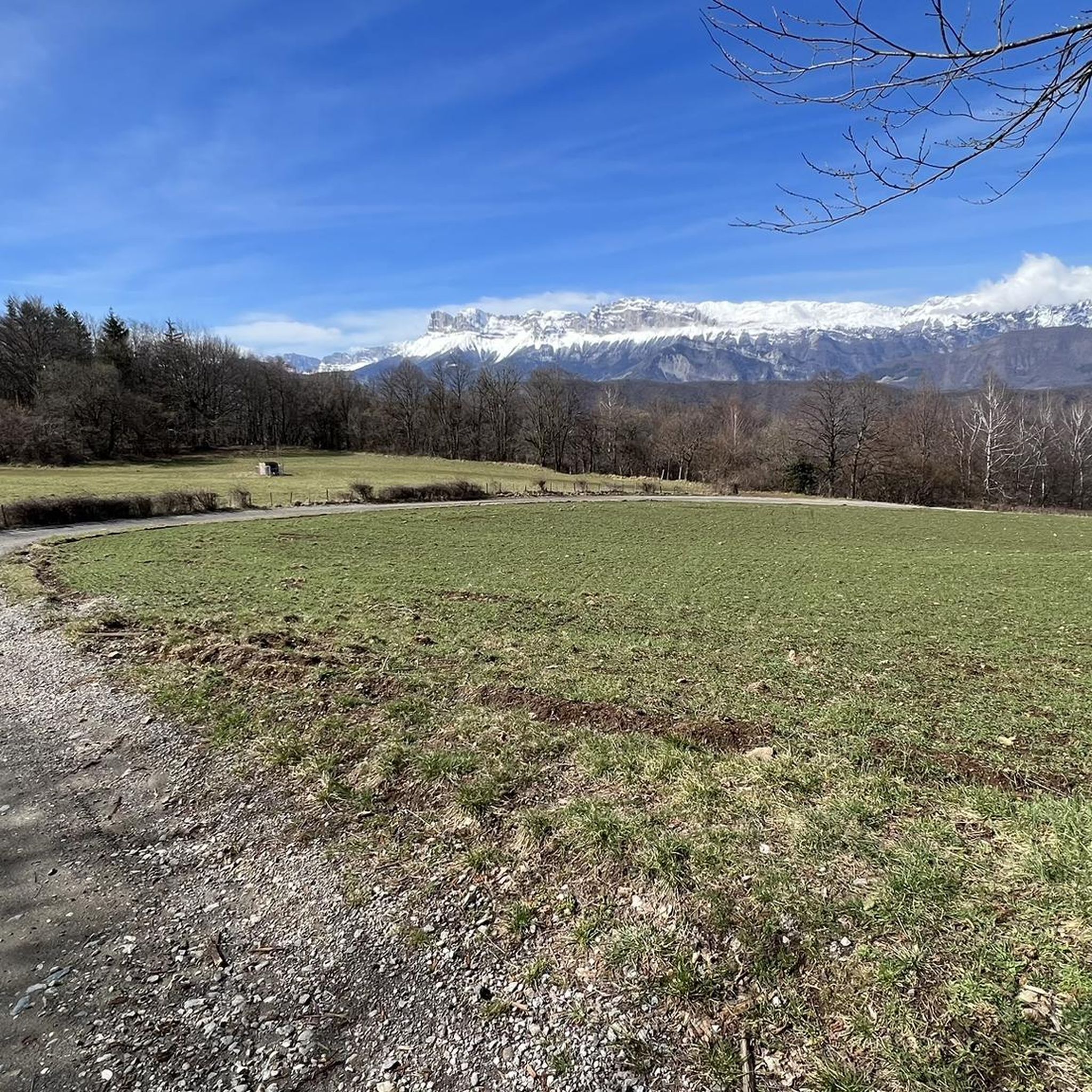
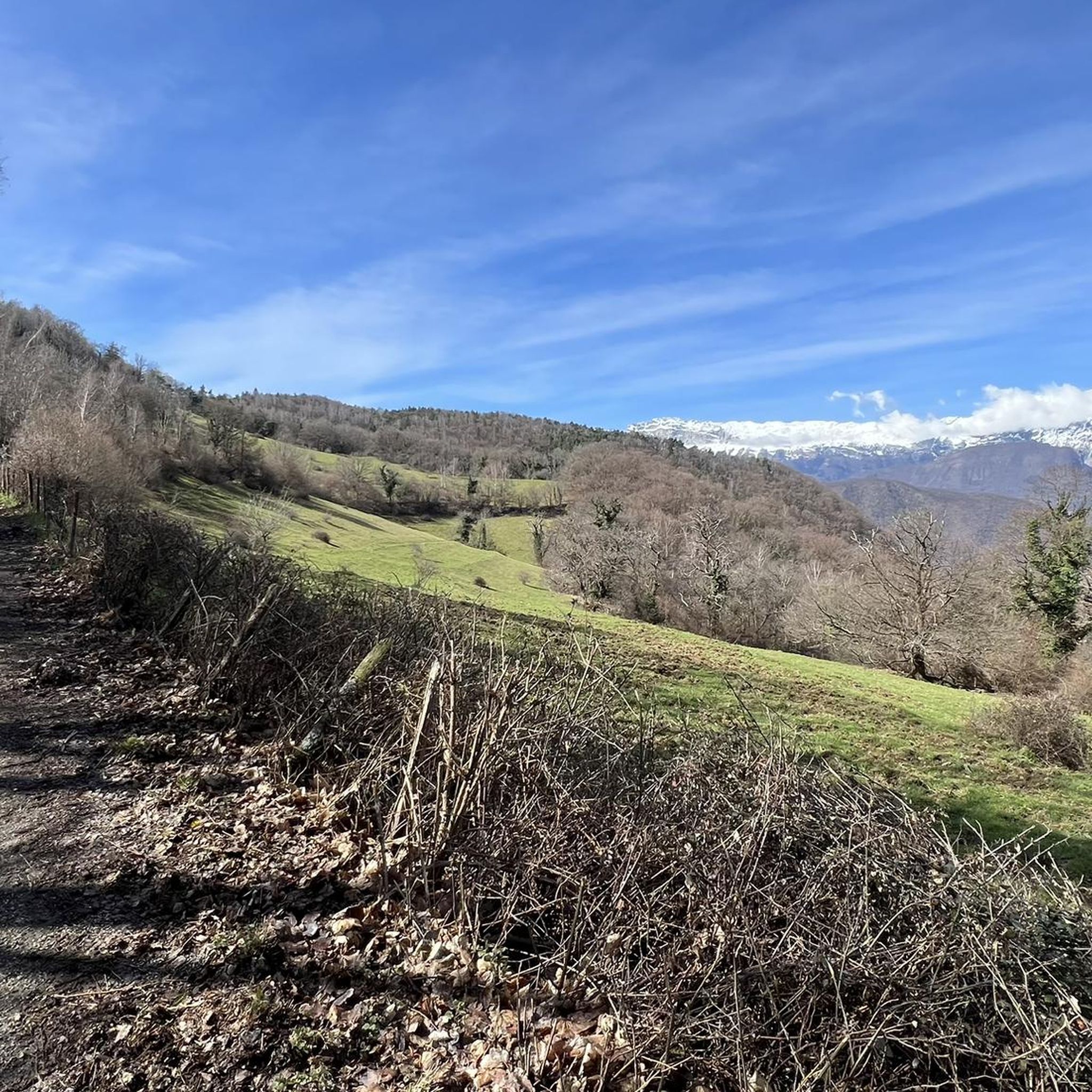
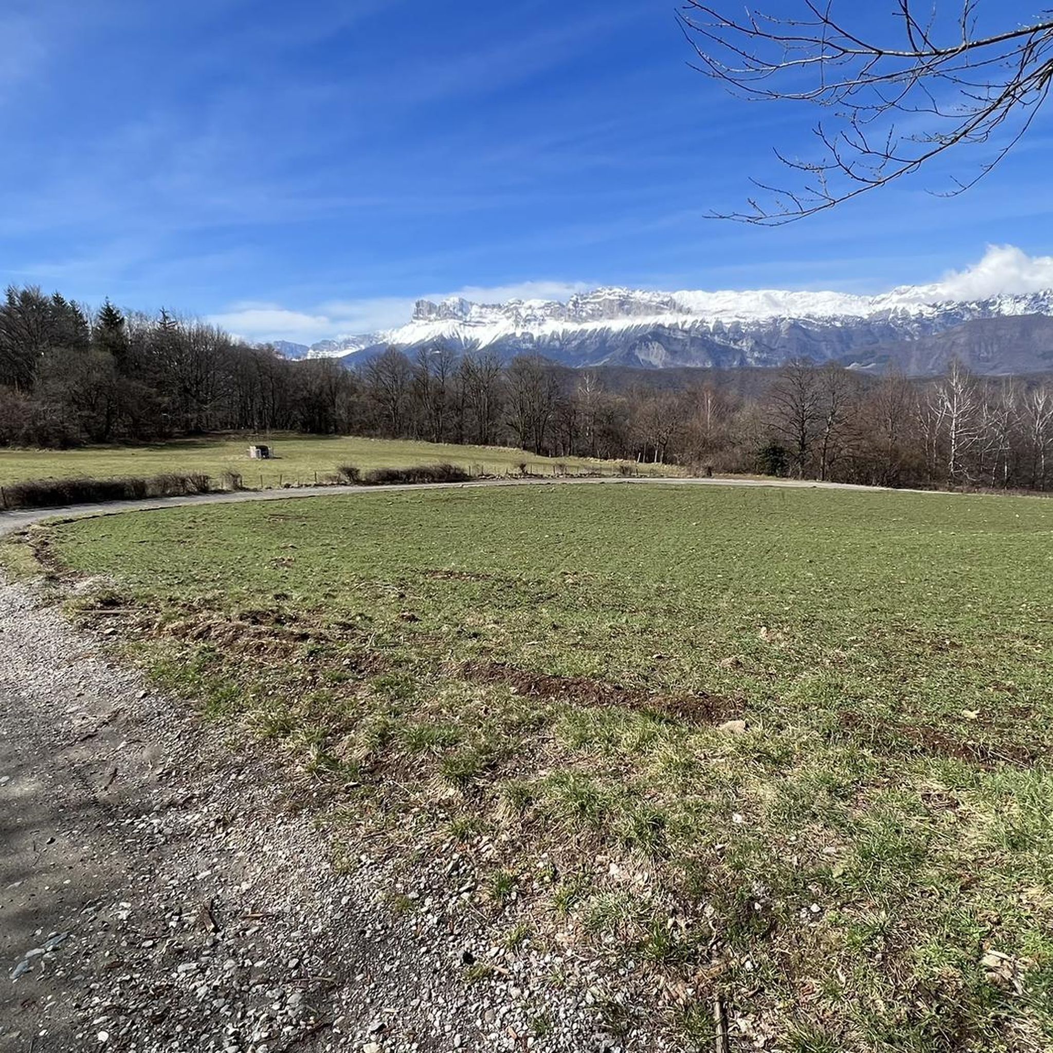
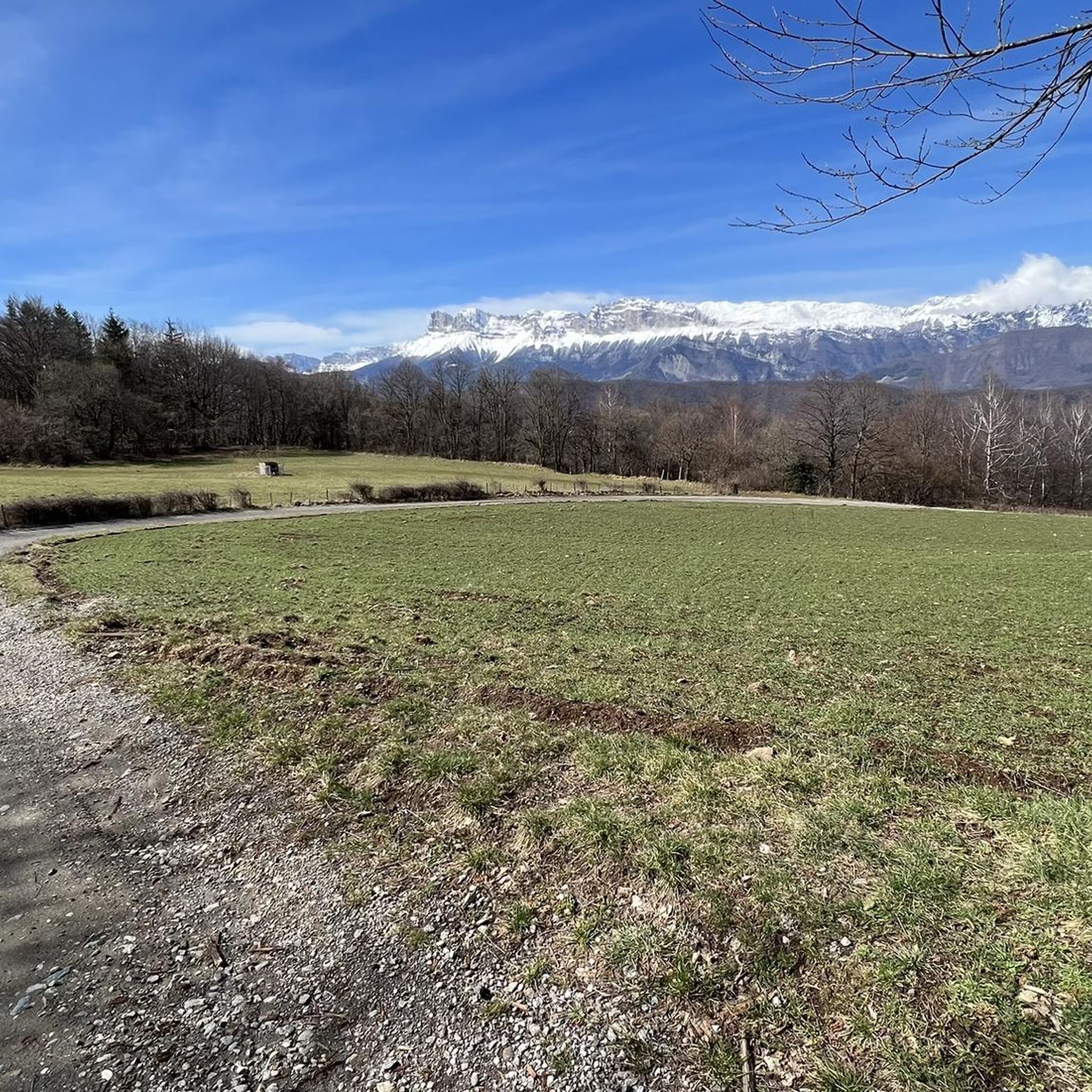
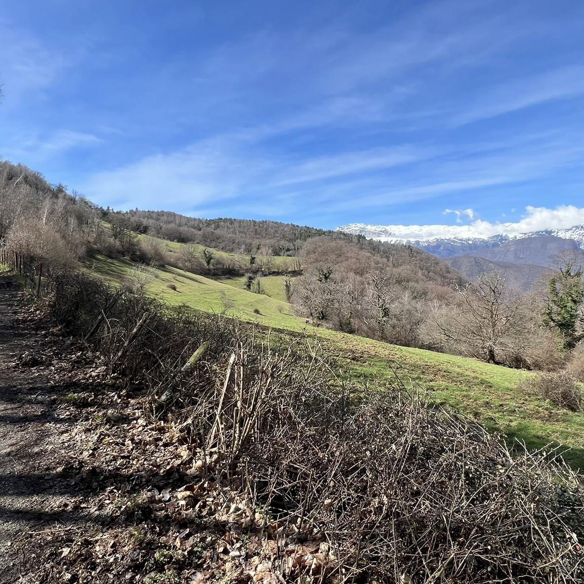
Gravel bike trails around Saint-Georges-De-Commiers traverse varied terrain within the Isère department, offering routes that range in elevation from 286 to 1370 meters. The landscape is characterized by extensive forests, meadows, and agricultural zones, providing a mix of surfaces for gravel biking. Riders can explore paths along the Drac river and through the foothills of the Conest mountain, encountering diverse natural features. This region provides a suitable environment for those seeking challenging gravel biking experiences.
Best gravel bike trails around…
Last updated: October 6, 2026
5.0
(1)
63
riders
53.5km
03:57
1,360m
1,360m
Hard gravel ride. Very good fitness required. Mostly paved surfaces. Suitable for all skill levels.
5.0
(2)
22
riders
91.7km
06:05
1,510m
1,510m
Hard gravel ride. Very good fitness required. Mostly paved surfaces. Suitable for all skill levels.

5.0
(2)
10
riders
42.5km
03:16
1,100m
1,100m
Hard gravel ride. Very good fitness required. Mostly paved surfaces. Suitable for all skill levels.
4.0
(1)
2
riders
Moderate gravel ride. Good fitness required. Mostly paved surfaces. Suitable for all skill levels.
5.0
(1)
7
riders
58.5km
04:23
1,570m
1,570m
Hard gravel ride. Very good fitness required. Mostly paved surfaces. Suitable for all skill levels.
Get access to more routes and recommendations from other explorers.
Already have an account?
Our route recommendations are based on thousands of hikes, rides, and runs completed by other people on komoot.
Start today with a free account
Your next adventure awaits.
Popular around Saint-Georges-De-Commiers

Tips from the Community

Superb gravel track to reach Lans-en-Vercors and Villars-de-Lans.
0
0
Joli chemin avec anciens tunnels et une pente régulière mais en vélo gravel le chemin est plutôt cassant et pas très agréable.
0
0

La ViaVercors, the first mountain greenway, offers a discovery route for tourism and leisure purposes over nearly 55 km. Located in the Vercors Regional Natural Park, it connects the municipalities of the territory to form an inter-municipal link for ecomobility. Engins, Saint-Nizier-du-Moucherotte, Lans-en-Vercors, Villard-de-Lans, Corrençon-en-Vercors, Autrans-Méaudre en Vercors, no municipality is forgotten.
0
0
The Via du Tram route, from Grenoble to Saint-Nizier-du-Moucherotte, follows the historic route of the tramway line built in 1909. This path takes you on a discovery of the region's wonders and its rich history. From the Resistance and its maquisards during World War II to the unique architecture of a former Olympic ski jump, you will visit, through fields, typical hamlets, and wooded valleys, environments with multiple curiosities. The 1,200 meters of elevation gain on the route will lead you to superb viewpoints.
0
0
The Via du Tram trail, from Grenoble to Saint-Nizier-du-Moucherotte, follows the historic route of the tramway line built in 1909. This path takes you on a discovery of the region's wonders and its rich history. From the Resistance and its partisans during World War II to the unique architecture of an old Olympic ski jump, you will visit, through fields, typical hamlets, and wooded valleys, environments with multiple points of interest. The trail's 1,200 meters of elevation gain will lead you to superb viewpoints.
0
0
The Via du Tram route, from Grenoble to Saint-Nizier-du-Moucherotte, follows the historic route of the tramway line built in 1909. This path takes you to discover the wonders of the region and its rich history. From the Resistance and its maquisards during the Second World War to the unique architecture of a former Olympic ski jump, you will visit, through fields, typical hamlets and wooded valleys, environments with multiple curiosities. The 1,200 meters of elevation gain on the route will lead you to superb viewpoints.
0
0
Viewpoint over Seyssens and the Drac valley
0
0

In the afternoon heat on the south-facing slope, very little shade. The last 3km are steep. Warning, no water at La Bâtie (cemetery gate locked), refill well before!
0
0
Frequently Asked Questions
How many gravel bike trails are available around Saint-Georges-De-Commiers?
There are 12 gravel bike trails available around Saint-Georges-De-Commiers. These routes are highly rated by the komoot community, with an average score of 5.0 stars from over 5 reviews, and have been explored by more than 80 gravel bikers.
What is the typical difficulty level of gravel biking trails in Saint-Georges-De-Commiers?
All 12 gravel bike trails in Saint-Georges-De-Commiers are rated as difficult. They are primarily suited for experienced riders seeking challenging routes, often involving significant elevation changes and varied terrain.
What kind of terrain can I expect on gravel bike trails around Saint-Georges-De-Commiers?
The terrain around Saint-Georges-De-Commiers is diverse, ranging from 286 to 1370 meters in elevation. You'll encounter extensive forests, green meadows, and agricultural zones, providing a mix of surfaces. Routes often follow paths along the Drac river and through the foothills of the Conest mountain, offering a blend of riverside and uphill riding opportunities.
Are there any scenic viewpoints or natural landmarks along the gravel bike trails?
Yes, the region is rich in scenic viewpoints and natural landmarks. You can experience panoramic views of the Isère valley and surrounding massifs like Chartreuse, Vercors, Dévoluy, Obiou, and Belledonne. Notable spots include La Peyrouse for 360° vistas, and the striking Mont Aiguille. The unique natural arch, La Pierre Percée, also offers a memorable scenic stop.
What kind of landscapes will I see while gravel biking here?
You'll primarily experience green and varied landscapes. The area is characterized by extensive forests (covering 67% of its area), open meadows, and agricultural zones. Many routes follow the banks of the Drac river, which forms the western boundary of the commune, and ascend into the foothills of the Conest mountain to the east, providing a mix of riverside and hilly scenery.
Are there any loop gravel bike trails in the area?
Yes, several routes are designed as loops. For example, the challenging Nice View – Lake Monteynard loop from Saint-Georges-de-Commiers offers scenic views including Lake Monteynard. Another popular option is the Col de l'Arzelier – East Balcony of the Vercors loop from Miribel-Lanchâtre, which provides expansive mountain scenery.
What is the best time of year for gravel biking in Saint-Georges-De-Commiers?
The region's varied elevation means conditions can change. Generally, spring through autumn offers the most favorable weather for gravel biking. Summers are typically warm, while spring and autumn provide cooler temperatures and vibrant scenery. Winter can bring snow to higher elevations, making some trails impassable or requiring specific winter gear.
Are there any family-friendly gravel bike trails in Saint-Georges-De-Commiers?
Given that all listed gravel bike routes in Saint-Georges-De-Commiers are rated as difficult, they may not be suitable for young children or beginners. These trails often involve significant climbs and technical sections. For family-friendly options, it's advisable to look for easier, flatter paths, potentially along the Drac river, though specific easy gravel routes are not highlighted in this guide.
Is parking available near the gravel bike trailheads?
While specific parking locations for each trailhead are not detailed, Saint-Georges-De-Commiers is a commune with various access points. It is generally possible to find parking in or near the villages that serve as starting points for these routes, such as Saint-Georges-De-Commiers itself or Miribel-Lanchâtre. We recommend checking local signage upon arrival.
Can I access gravel bike trails using public transport in Saint-Georges-De-Commiers?
Public transport options in rural areas like Saint-Georges-De-Commiers can be limited. While there might be local bus services connecting to nearby towns, direct access to specific trailheads with bike transport facilities may not be readily available. It's advisable to check regional transport schedules and policies regarding bicycles if you plan to rely on public transport.
Do I need any special permits for gravel biking in the Isère region?
Generally, no special permits are required for gravel biking on public trails and roads in the Isère region of France. However, always respect private property, protected natural areas, and any specific local regulations or signage you may encounter, especially in natural reserves along the Drac river or within the Vercors massif.
Are there any technical sections on the gravel bike trails around Saint-Georges-De-Commiers?
Yes, given that all routes are classified as difficult and traverse hilly or mountainous terrain, you can expect technical sections. These may include steep climbs and descents, rocky or loose surfaces, and potentially narrow paths, especially in the foothills of the Conest mountain and within the Vercors massif. Riders should be prepared for varied and challenging conditions.
Most popular routes around Saint-Georges-De-Commiers
Most popular attractions around Saint-Georges-De-Commiers

Get inspired with the komoot mobile app


Explore more
Browse the best Gravel rides in other regions.
