The best gravel rides around Réaumont
4.2
(8)
45
riders
8
rides
Gravel biking around Réaumont offers diverse terrain within the Isère department of France's Auvergne-Rhône-Alpes region. The area is characterized by the rolling hills of the Voironnais and the western foothills of the Chartreuse mountains, providing varied landscapes for cycling. The Fure river borders the commune to the northwest, and a distinctive "dead valley" geological site adds to the natural features. This region provides a mix of paved roads, forest paths, and unpaved tracks suitable for gravel cycling.
Best gravel bike…
Last updated: November 3, 2026
5.0
(1)
18
riders
48.5km
03:07
130m
130m
Moderate gravel ride. Good fitness required. Mostly paved surfaces.
5.0
(3)
4
riders
31.9km
02:05
120m
120m
Moderate gravel ride. Good fitness required. Mostly paved surfaces.

4.0
(2)
9
riders
56.4km
03:24
760m
760m
Hard gravel ride. Very good fitness required. Mostly paved surfaces.
4.0
(1)
7
riders
38.7km
02:57
980m
980m
Hard gravel ride. Very good fitness required. Mostly paved surfaces.
3.0
(1)
7
riders
34.4km
02:06
260m
260m
Moderate gravel ride. Good fitness required. Mostly paved surfaces.
Get access to more routes and recommendations from other explorers.
Already have an account?
Our route recommendations are based on thousands of hikes, rides, and runs completed by other people on komoot.
Start today with a free account
Your next adventure awaits.
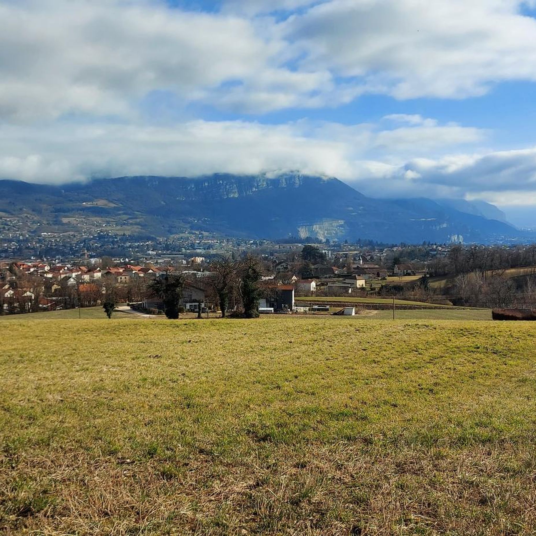
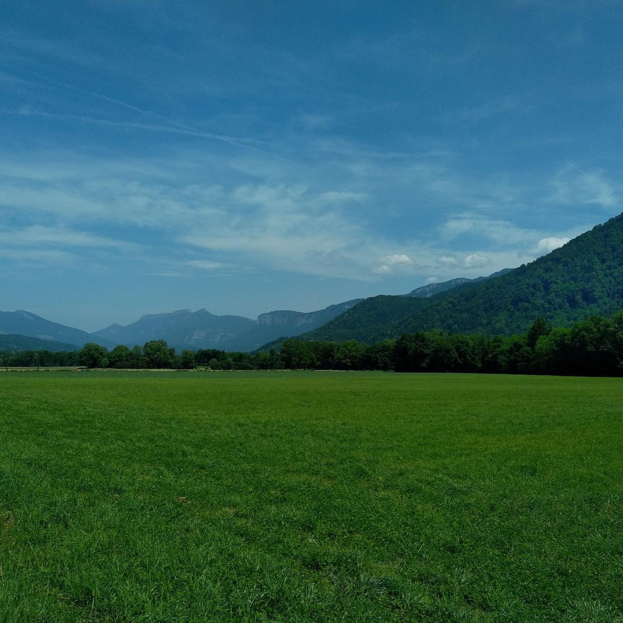
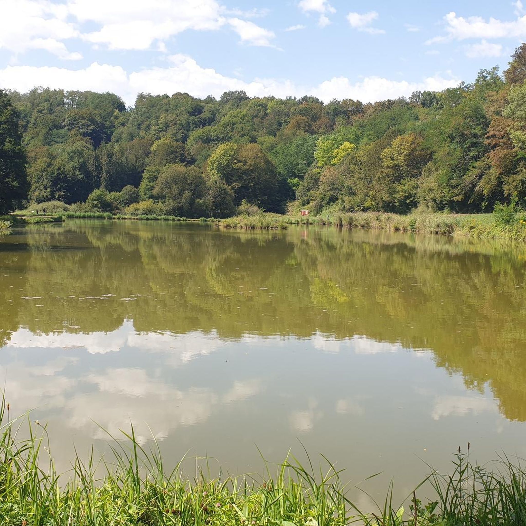
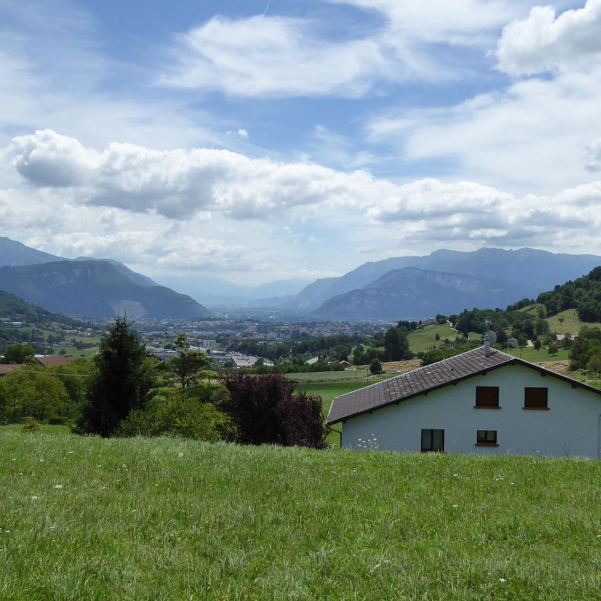
Tips from the Community

La Véloroute de l'Isère, officially integrated into the national route La Belle Via (referenced under number V63), is a cycling route of over 200 kilometers that runs along the Isère river. It connects the foothills of Savoie to the Drôme (connection with ViaRhôna), by crossing the entire department of Isère and its capital, Grenoble.
0
0
The Véloroute de l'Isère, officially integrated into the national route La Belle Via (referenced under number V63), is a cycling route of over 200 kilometers that runs along the Isère river. It connects the foothills of Savoie to the Drôme (connection with ViaRhôna), crossing the entire department of Isère and its capital, Grenoble.
0
0
The La Véloroute de l'Isère, officially integrated into the national route La Belle Via (referenced under number V63), is a cycling route of over 200 kilometers that runs along the Isère river. It connects the foothills of Savoie to the Drôme (connection with ViaRhôna), by crossing the entire department of Isère and its capital, Grenoble.
0
0
The Véloroute de l'Isère, officially integrated into the national route La Belle Via (referenced under number V63), is a cycling route of over 200 kilometers that runs along the Isère river. It connects the foothills of Savoie to the Drôme (connection with ViaRhôna), by crossing the entire department of Isère and its capital, Grenoble.
0
0
La Belle Via (Green Way): The bridge is an unmissable landmark for cyclists. A flat and shaded cycle route, the Green Way from Saint-Gervais to Pont-d'Oxford, follows the Isère river up to its confluence with the Drac, offering a superb view of the cliffs.
0
0
It is a reinforced concrete "Bow-string" bridge. Designed by the Parisian engineering firm Pelnard-Considère, its construction took place between 1950 and 1952 to replace a previous structure, relying on nearly 150 foundation piles for each abutment.
0
0
The estate has its roots in an ancient fortified house built in the second half of the 13th century. It notably served as a summer residence for the lords of Tullins. The building was extensively remodeled in the 16th century, then in the 18th century (when it took the name Château des Cordes), before its facade was modified in the 19th century. The castle has been protected as a historical monument since 1977 (partial inscription, and classification for its south tower).
0
0

Great straight in soft gravel. The route remains pleasant with views of the Chartreuse while staying on the flat.
0
0
Frequently Asked Questions
How many gravel bike trails are available around Réaumont?
There are over 20 gravel bike trails available around Réaumont, offering a diverse range of experiences. These include 3 easy routes, 6 moderate routes, and 15 difficult routes, catering to various skill levels.
What kind of terrain can I expect on gravel bike trails near Réaumont?
Gravel biking around Réaumont features varied terrain, from the rolling hills of the Voironnais to the western foothills of the Chartreuse mountains. You'll encounter a mix of paved sections and unpaved paths, including unique geological features like the 'dead valley' of Réaumont, and routes along the Fure river.
Are there any easy gravel bike routes suitable for beginners or families?
Yes, Réaumont offers several easier gravel routes. A good option for a moderate ride with scenic views is the Along the Isère – View of the Vercors massif loop from Voreppe, which is about 30 miles (48.5 km) long. While there are 3 routes classified as easy, many of the trails in the region are marked as moderate, so checking the route details is always recommended for family outings.
What are some challenging gravel bike routes for experienced riders?
For experienced gravel bikers seeking a challenge, Réaumont offers several difficult routes with significant elevation gain. The Thousand Martyrs Pass – Col des Mille Martyrs loop from Chirens is a demanding 32.4-mile (52.2 km) path traversing the Col des Mille Martyrs. Another challenging option is the Col des Mille Martyrs – Pierre Chave Bridge loop from L'Arsenal, which leads through the Chartreuse foothills.
What natural features or viewpoints can I see along the gravel routes?
The gravel routes around Réaumont offer access to several natural attractions and viewpoints. You can find stunning vistas such as the Croix des Cochettes View of Lac de Paladru and the Roche Brune Viewpoint. The area also features the picturesque Lake Paladru and the dramatic Gorges du Crossey.
Are there any routes that offer views of the Vercors massif?
Yes, you can enjoy views of the Vercors massif on certain gravel routes. The Along the Isère – View of the Vercors massif loop from Voreppe is specifically designed to offer these scenic backdrops while following the Isère river. Another route, View of the Vercors massif – Saint-Jean-de-Chépy Castle loop from Vourey, also provides excellent views.
What do other gravel bikers say about the trails in Réaumont?
The gravel biking trails around Réaumont are highly regarded by the komoot community, with an average rating of 4.2 stars from over 9 reviews. Riders often praise the varied terrain, the scenic backdrops of the Chartreuse mountains, and the well-maintained network of paths that cater to different skill levels.
Is Réaumont a good destination for gravel biking year-round?
Réaumont's location in the western foothills of the Chartreuse mountains means that while spring, summer, and autumn offer ideal conditions with pleasant temperatures and vibrant landscapes, winter conditions can vary. Higher elevation routes might be affected by snow or ice, so it's best to check local weather forecasts and trail conditions during colder months. The rolling hills generally make it accessible for much of the year.
Are there any circular gravel routes available?
Yes, many of the gravel routes around Réaumont are designed as loops, allowing you to start and finish at the same point. Examples include the popular Along the Isère – View of the Vercors massif loop from Voreppe and the more challenging Thousand Martyrs Pass – Col des Mille Martyrs loop from Chirens.
Where can I find parking for gravel biking trails in Réaumont?
While specific parking areas for each trail are not detailed here, Réaumont and the surrounding Pays Voironnais region are generally well-equipped for outdoor activities. Many routes start from villages like Voreppe, Chirens, or L'Arsenal, where public parking is typically available. It's advisable to check the starting point of your chosen route for specific parking information.
Are there any routes that pass by lakes or rivers?
Yes, several routes incorporate natural water features. The Along the Isère – View of the Vercors massif loop from Voreppe follows the Isère river. Additionally, the region is home to Lake Paladru, and you can find a Cycle Path on the Eastern Shore of Lac de Paladru, offering scenic rides along its banks.
Most popular attractions around Réaumont

Get inspired with the komoot mobile app


Explore more
Browse the best Gravel rides in other regions.
