The 1 Most Amazing Peaks around Köngen
Mountain peaks around Köngen are characterized by elevated areas and hills rather than prominent peaks, situated on the left side of the Neckar river within the Neckar valley. The maximum elevation within Köngen is approximately 360 meters above sea level. While direct mountain peaks are not present, the region offers scenic hikes and elevated viewpoints that provide vistas of the surrounding valleys and the distant Swabian Alb foothills. This low mountain range is known for its distinctive geology and diverse…
Last updated: October 4, 2026
Core tower
Highlight • Viewpoint
Translated by Google •
Tip by

Uhlberg Tower
Highlight • Viewpoint
Translated by Google •
Tip by

Sign up now to discover places like this
Get recommendations on the best single tracks, peaks, & plenty of other exciting outdoor places.
Summit Cross on Katzenkopf
Highlight • Summit
Translated by Google •
Tip by

Drei Linden (Sielmingen district)
Highlight • Natural Monument
Translated by Google •
Tip by

Hörnle 452 m – Hörnleeiche Natural Monument
Highlight • Natural Monument
Translated by Google •
Tip by

Sign up for free to discover even more peaks around Köngen.
Already have an account?
Start today with a free account
Your next adventure awaits.
Popular around Köngen
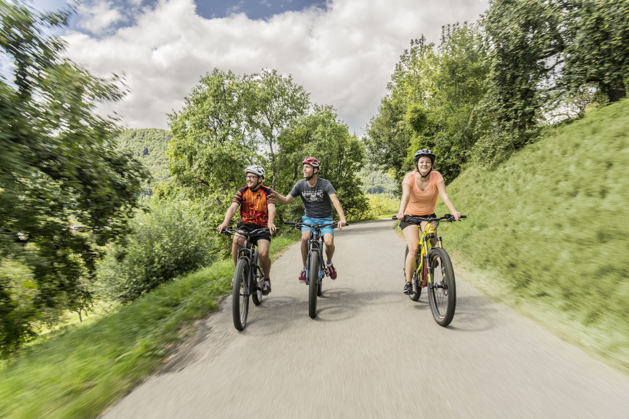
Between river, forest and alb – cycling tours in the Esslingen district
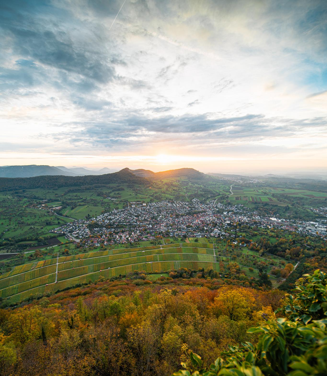
E-bike pleasure rides in the Swabian Alb
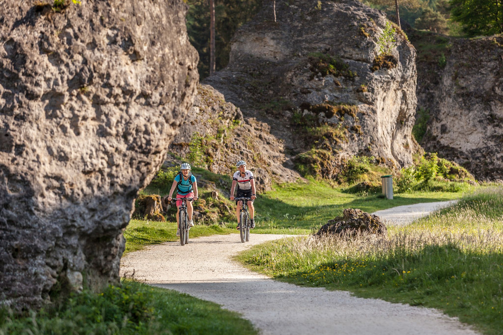
Experience nature by bike in the Swabian Jura
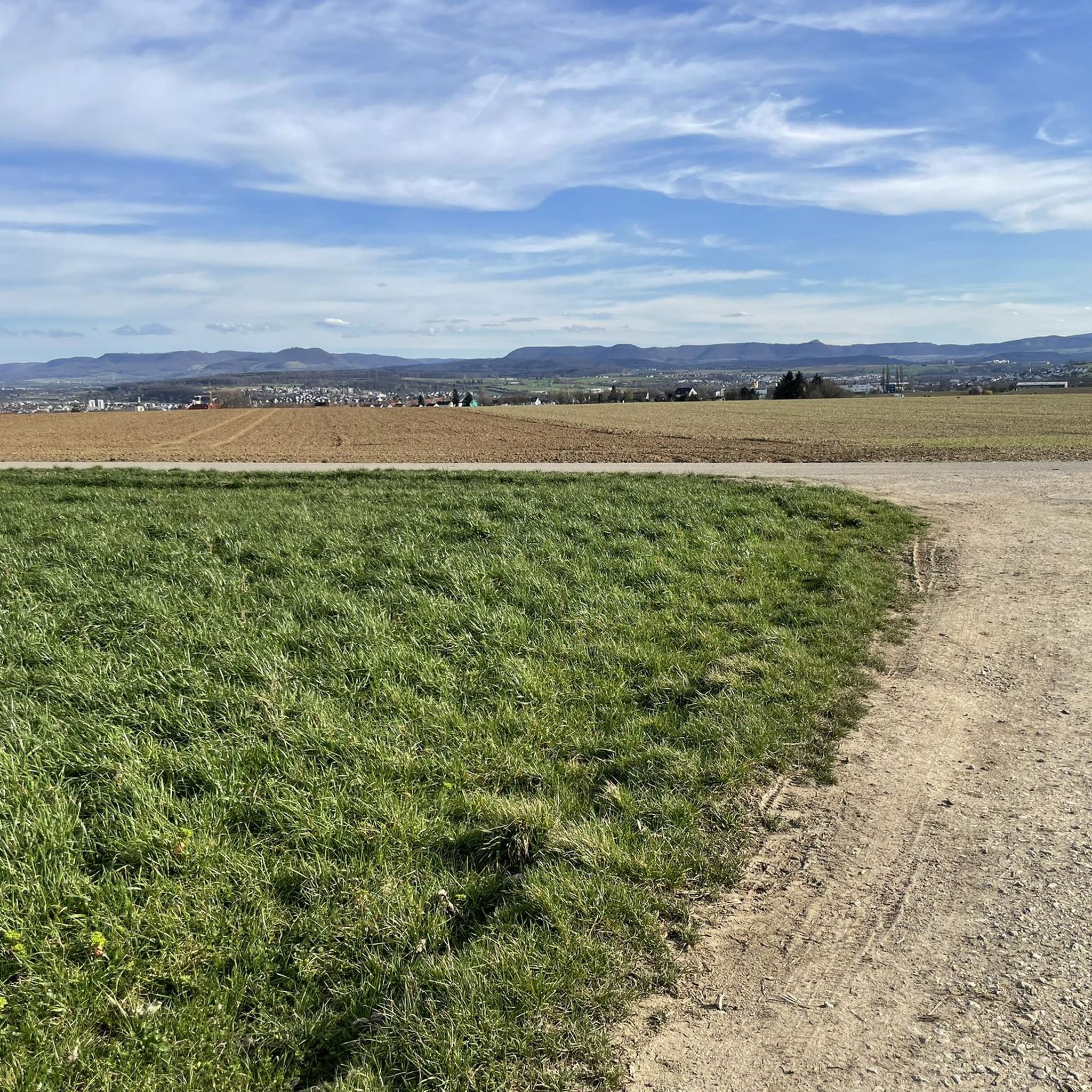
Road Cycling Routes around Köngen
MTB Trails around Köngen
Cycling around Köngen
Running Trails around Köngen
Hiking around Köngen
Gravel biking around Köngen


Tips from the Community

Drei Linden ( Markung Sielmingen ) After the Franco-Prussian War of 1870/71, the "Drei Linden" (three lime trees, instead of older ones) were planted as "Peace Lindens". The stone was a "Stundenstein" (hour stone) from 1808, which indicated the distance in "Wegstunden" (travel hours, 3.724 km). However, it was not originally located here, but on the B 312, an old postal road.
0
0

On the 493.4-meter-high Katzenkopf 🐾⛰️, surrounded by dense forest 🌲🌳, a summit cross ✝️ with a summit book 📔 invites you to linger. However, the forested summit doesn't offer a view 🌿👀.
1
0

The large forecourt is equipped with solid table sets and there is also a covered grill.
10
0

At 493.2 m above sea level, the Katzenkopf is the fourth highest mountain in the Schurwald in Baden-Württemberg and also the highest point in the municipality of Kernen in the Remstal. (https://de.wikipedia.org/wiki/Katzenkopf_(Schurwald))
1
0

Perfect pit stop at the “Drei Linden” water tank with seating.
1
0

Most beautiful summit cross far and wide
0
0

The 493m high Katzenkopf offers no view. A nice trail leads up and down again.
3
0

Katzenkopf Kreuz mitm mailbox in which a book is hidden, where you can write :) Check
1
0
Frequently Asked Questions
What are the most popular elevated viewpoints around Köngen?
Visitors frequently enjoy the Uhlberg Tower, which offers panoramic views and amenities like a kiosk and toilets on weekends and public holidays. Another favorite is the Käppele Shelter and Viewpoint, known for its views of Teck Castle, the Lenninger Valley, and the Albtrauf. The Core tower also provides great views and has a beer garden and kiosk open Thursdays through Sundays.
What kind of natural features can I expect to see near Köngen's elevated areas?
While Köngen itself features elevated areas and hills rather than prominent mountain peaks, you can expect scenic views of the Neckar river and valley. The region is close to the foothills of the Swabian Alb, a low mountain range known for its distinctive geology, dense forests, and diverse flora and fauna. You can also visit natural monuments like the Hörnle 452 m – Hörnleeiche Natural Monument.
Are the elevated areas and viewpoints around Köngen family-friendly?
Yes, many elevated areas and viewpoints near Köngen are suitable for families. For instance, the Uhlberg Tower and Käppele Shelter and Viewpoint are categorized as family-friendly. The Core tower also offers a pleasant outing with a beer garden.
What are the best times of year to visit the elevated areas near Köngen?
The elevated areas and viewpoints around Köngen are enjoyable throughout the year. Spring and autumn offer pleasant temperatures for hiking and clear views. Summer is ideal for longer days outdoors, while winter can provide unique, serene landscapes, though some facilities like the Uhlberg Tower may have reduced opening hours (e.g., 13:00 to 17:00 on Saturdays, 10:00 to 17:00 on Sundays and public holidays in winter).
How can I reach the elevated areas and hiking trails around Köngen by public transport?
Public transport options vary depending on the specific trail or viewpoint. For many routes, you can take regional buses or trains to Köngen or nearby towns like Wendlingen am Neckar, and then proceed on foot. For example, routes like the "Friedenslinde Unterensingen – Water tower loop" or the "Körsch Bridge – View of the Swabian Alb loop" are accessible from various starting points, often reachable by local bus services.
Where can I find parking for hiking trails near Köngen's elevated areas?
Parking is generally available near the trailheads of popular routes. For instance, you can find parking for the "Friedenslinde Unterensingen – Water tower loop" near Unterensingen, and for the "Körsch Bridge – View of the Swabian Alb loop" near Wendlingen. The Uhlberg Tower also has parking facilities nearby. It's advisable to check specific trailhead information for precise parking locations.
Are there facilities like cafes or toilets available at these viewpoints?
Yes, some popular viewpoints offer facilities. The Uhlberg Tower has a kiosk and toilets, which are open on weekends and public holidays. The Core tower also features a kiosk and a beer garden, open Thursdays through Sundays, offering drinks and small dishes.
What kind of hiking trails are available near Köngen's elevated areas?
The region offers a variety of hiking trails, from easy strolls to more moderate routes. You can explore trails like the "Panoramaweg," a 12-kilometer route with impressive valley views, or the "Friedenslinde Unterensingen – Water tower loop" which is a moderate 9.6 km hike. Other options include the "Neckarweg Forest Trail – Small Wildlife Enclosure loop" and the "Blossom Walk in Sauhag – Pumptrack Köngen loop." You can find more details on these and other routes in the Hiking around Köngen guide.
Are there challenging hikes or more strenuous routes near Köngen?
While Köngen's immediate vicinity offers mostly moderate terrain, the nearby Swabian Alb foothills provide more challenging options. For example, the Hörnle 452 m – Hörnleeiche Natural Monument features a steep driveway through the forest, indicating more strenuous sections. Exploring further into the Swabian Alb will reveal more significant elevations and diverse natural landscapes suitable for experienced hikers.
Can I go gravel biking near Köngen's elevated areas?
Yes, the area around Köngen is suitable for gravel biking, with routes that take you through varied landscapes including fields and forests. You can find routes like the "Neckar Bridge Plochingen – Nassachtal Cycle Route loop" or the "Hahnweide Airfield – View of Castle Teck loop." For more gravel biking options, refer to the Gravel biking around Köngen guide.
Are there any circular walks among the elevated areas near Köngen?
Yes, there are several circular walks that allow you to experience the elevated areas and scenic views. Popular options include the "Friedenslinde Unterensingen – Water tower loop" and the "Körsch Bridge – View of the Swabian Alb loop." The "Panoramaweg" is also designed as a circular route, offering extensive views of the surrounding valleys.
What do visitors particularly enjoy about the elevated areas around Köngen?
Visitors highly appreciate the panoramic views of the Neckar valley and the distant Swabian Alb foothills. The well-maintained hiking paths, the presence of facilities like kiosks and barbecue areas at viewpoints, and the opportunity for outdoor recreation in a diverse natural landscape are frequently mentioned highlights. The community has shared over 1500 photos and given more than 2800 upvotes to these elevated areas.
Most popular routes around Köngen
Most popular attractions around Köngen

Get inspired with the komoot mobile app


Explore more
See even more amazing summits around Köngen with these guides:
