The best gravel rides around Cambon-Et-Salvergues
4.2
(14)
91
riders
17
rides
Gravel biking around Cambon-Et-Salvergues offers routes through varied terrain, characterized by deep gorges, river valleys, and converted railway lines. The region features a mix of forested sections and open landscapes, with notable features like the Passa Païs tunnel and the Héric Gorge. Elevation changes are common, providing both challenging climbs and more gradual paths suitable for gravel riding.
Best gravel bike trails around Cambon-Et-Salvergues
- The most popular gravel bike trail is Héric Gorge – Passa Païs tunnel loop from Saint-Martin-de-l'Arçon…
Last updated: July 3, 2026
4.8
(9)
31
riders
37.8km
02:04
290m
290m
Moderate gravel ride. Good fitness required. Mostly paved surfaces. Suitable for all skill levels.
5.0
(1)
20
riders
65.4km
04:19
1,280m
1,280m
Hard gravel ride. Very good fitness required. Mostly paved surfaces. Suitable for all skill levels.

Sign up for free
4.0
(2)
22
riders
Hard gravel ride. Very good fitness required. Mostly paved surfaces. Suitable for all skill levels.
3.0
(2)
5
riders
42.7km
03:21
1,050m
1,050m
Hard gravel ride. Very good fitness required. Mostly paved surfaces. Suitable for all skill levels.
3
riders
Hard gravel ride. Very good fitness required. Mostly paved surfaces. Suitable for all skill levels.
Get access to more routes and recommendations from other explorers.
Sign up for free
Already have an account?
Our route recommendations are based on thousands of hikes, rides, and runs completed by other people on komoot.
Start today with a free account
Your next adventure awaits.
Login or Signup
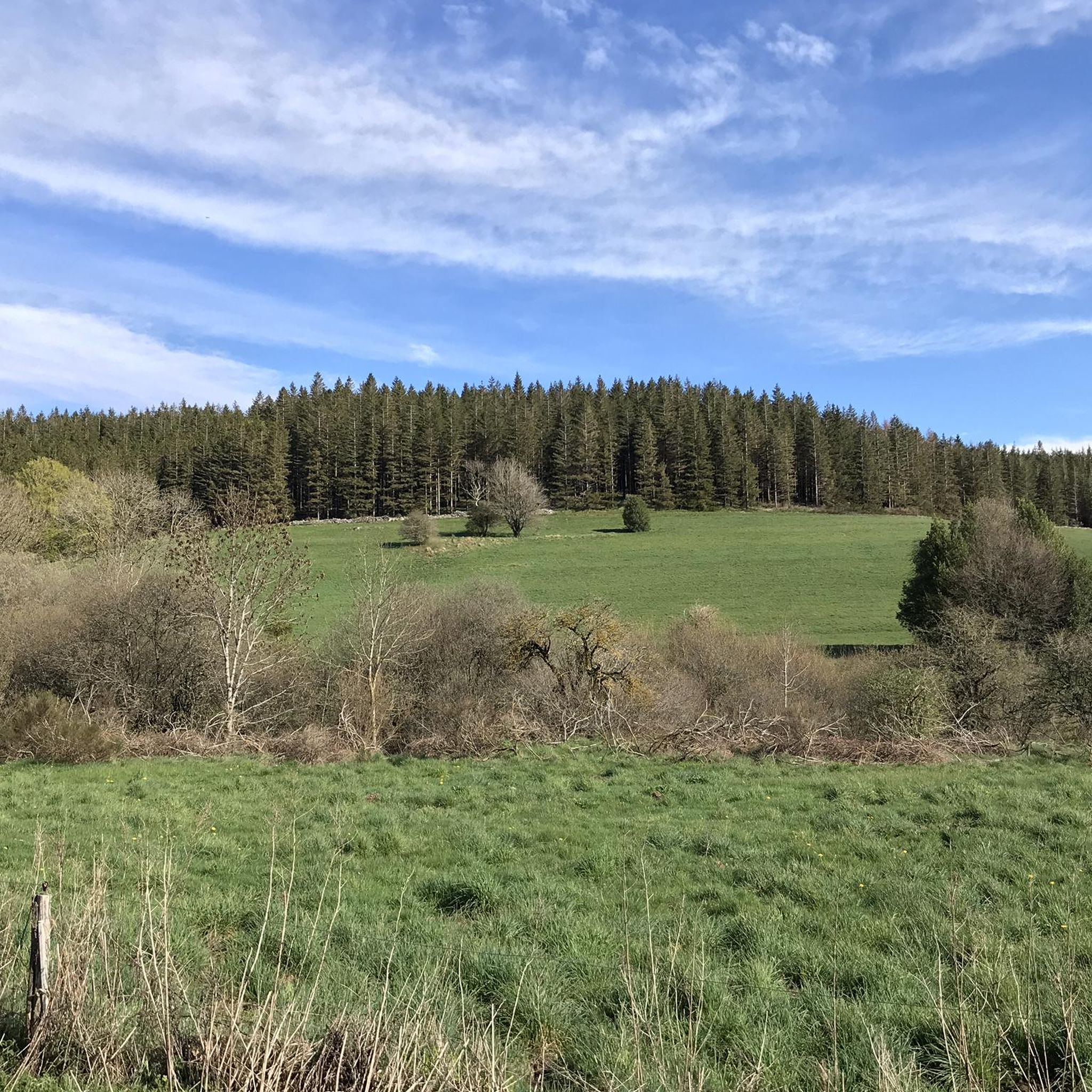
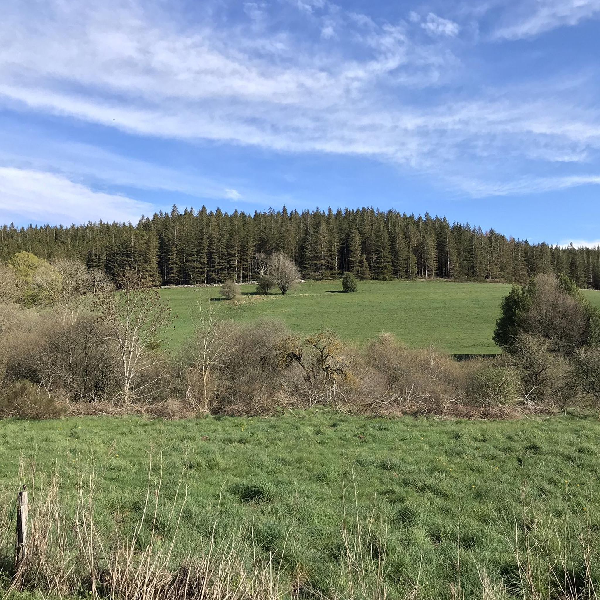
Tips from the Community

Clinging to a rocky outcrop almost encircled by the Jaur, Olargues is a remarkable fortified village whose medieval organization is still perfectly legible. At the summit, the former keep of the castle, transformed into a bell tower in the 17th century after the fortress was destroyed on Cardinal Richelieu's orders, still dominates the valley. Below, the Devil's Bridge, built in the 12th century, has spanned the Jaur for nearly nine centuries. Between the two, "calades" (cobbled alleyways) and old houses invite you to step back in time. It is easy to understand why Olargues is among the Most Beautiful Villages in France!
0
0
Nestled in the mountains of Haut-Languedoc, the Vézoles lake is a dam lake. Built in the mid-20th century for hydroelectric production, it retains the waters of the upper Agout valley in a narrow and largely wooded site, characteristic of the high plateaus of the massif. Located in a transition zone between the large Atlantic and Mediterranean watersheds, this body of water is set in a unique setting.
0
0
Located in the Jaur valley, in the heart of the Hauts cantons of the Hérault, Riols is a vast rural village typical of the Haut-Languedoc. The village is intimately linked to the history of the abbey of Saint-Pons-de-Thomières, founded in the 10th century, on which it long depended. From the Middle Ages onwards, Riols was part of a network of monastic possessions. Even today, the old center retains its valley setting, crossed by the Jaur, around which the main routes and activities developed. The Pont-Vieux and several structures on the river bear witness to this close relationship between the village and its watercourse.
0
0
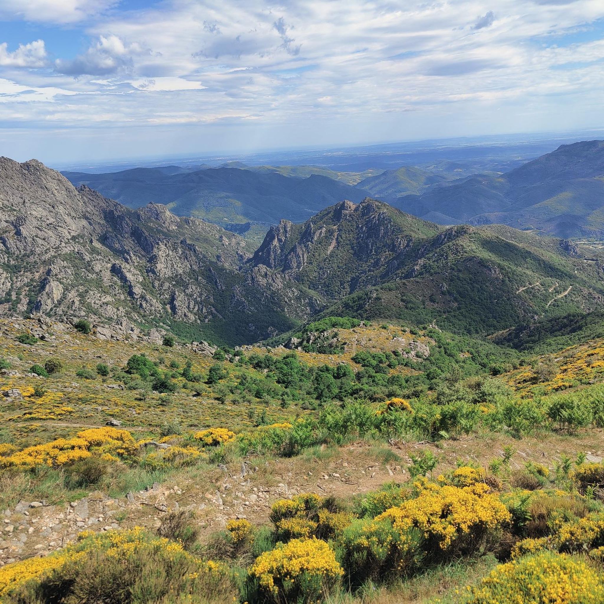
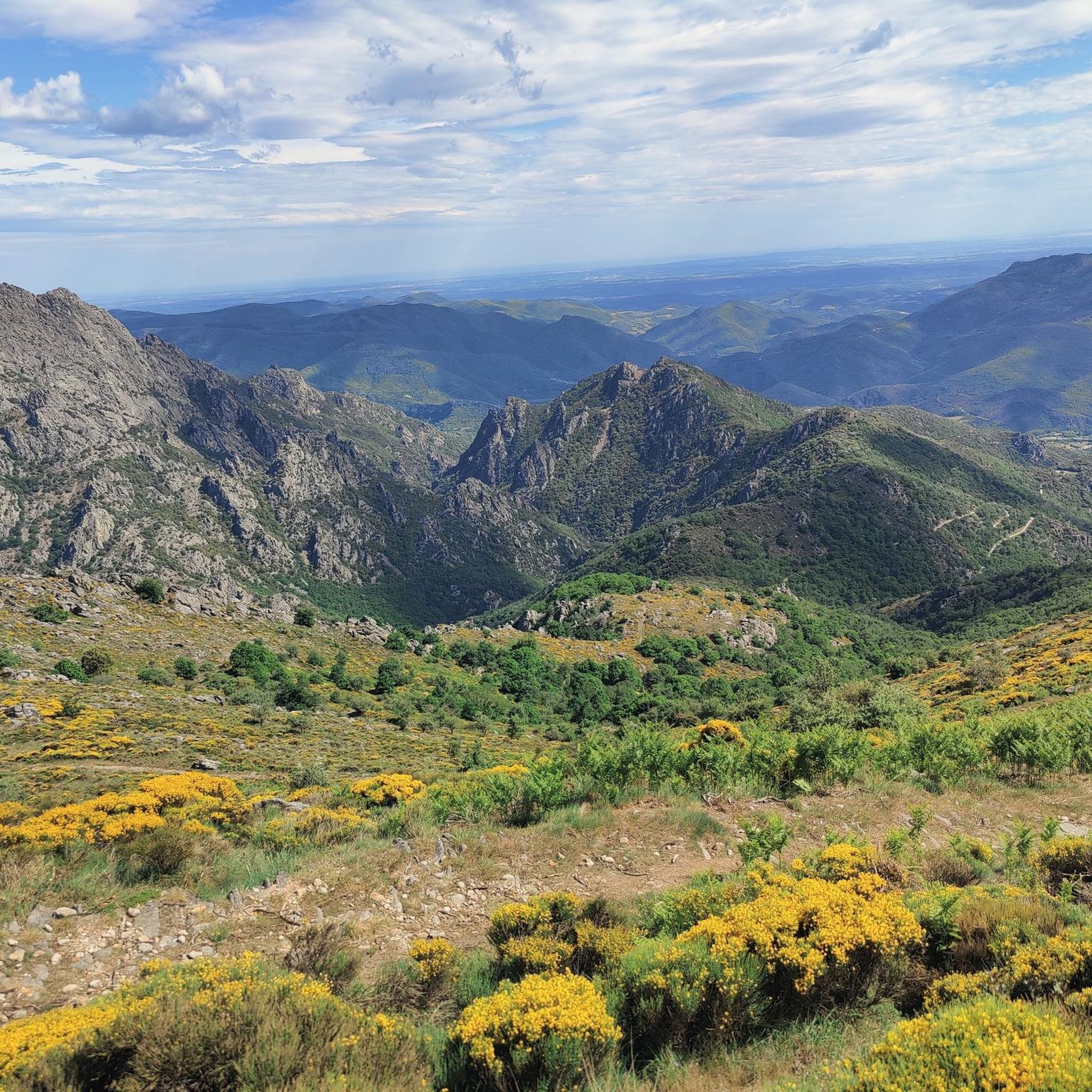
This wide turn reveals a superb panorama of the mountain. In the foreground, the D14 winds up the slope with beautifully drawn switchbacks. Further on, several characteristic reliefs of the Haut-Languedoc stand out, succeeding each other to the horizon. One of the most beautiful panoramas of the ascent!
0
0

One of the many tunnels that punctuate the PassaPaïs greenway, allowing easy crossing of the territory by bicycle.
0
0

A very pleasant climb from Lamalou-les-Bains! The beginning is (very) steep (7-8% average over quite a few kilometers), but it becomes more rolling after that.
0
0

Another of the numerous bridges with a beautiful view. This one overlooks the waters of the Jaur.
0
0

Here there is a steep ascent and a steep descent, because the path no longer follows the railway line, up to 10%
0
0
Frequently Asked Questions
What kind of terrain can I expect on gravel bike trails around Cambon-Et-Salvergues?
The region offers a diverse landscape for gravel biking, characterized by deep gorges, scenic river valleys, and sections along converted railway lines like the Passa Païs greenway. You'll encounter a mix of forested areas and open landscapes, with varying elevations that provide both challenging climbs and more gradual paths.
Are there gravel bike routes suitable for beginners in Cambon-Et-Salvergues?
While many routes feature significant elevation, there are moderate options available. For instance, the Héric Gorge – Passa Païs tunnel loop from Saint-Martin-de-l'Arçon is a moderate 18.9-mile route that follows the scenic Héric Gorge and the historic Passa Païs greenway, making it a good choice for those looking for a less strenuous ride.
What are the options for more advanced gravel bikers in the area?
Advanced riders will find plenty of challenging routes, with 14 out of 19 tours rated as difficult. An example is the Olargues Railway Bridge – View of Olargues Village loop from Cambon-et-Salvergues, a 40.7-mile trail with substantial elevation gain, typically taking over four hours to complete. Another challenging option is the Bridge – Passa Païs tunnel loop from Mons, which includes significant climbs.
Are there any circular gravel bike routes in Cambon-Et-Salvergues?
Yes, many of the gravel bike routes in the region are designed as loops. Examples include the Passa Païs tunnel – Olargues Railway Bridge loop from Colombières-sur-Orb, and the Fontfroide Pass – Voie Verte Passa Paiis loop from Olargues, offering convenient starting and ending points.
What scenic viewpoints or natural attractions can I discover along the gravel trails?
The region is rich in natural beauty. You can ride through the stunning Héric Gorge, discover the Gouffre du Cerisier Natural Pool and Waterfall, or explore the Natural Pools of the Gorges d'Héric. Many routes also offer views of historic structures like the Olargues Railway Bridge and various mountain passes such as Fontfroide Pass.
What is the best season for gravel biking in Cambon-Et-Salvergues?
Given the varied terrain, including gorges and forested areas, spring and autumn generally offer the most pleasant conditions with milder temperatures and vibrant scenery. Summer can be warm, especially in open sections, while winter might bring colder temperatures and potentially more challenging trail conditions at higher elevations.
How long do gravel bike trails typically take to complete?
The duration varies significantly based on the route's length and difficulty. Moderate routes like the 18.9-mile Héric Gorge – Passa Païs tunnel loop can take around 2 hours. Longer, more difficult trails, such as the 40.7-mile Olargues Railway Bridge – View of Olargues Village loop, may require over 4 hours.
What do other gravel bikers enjoy most about the trails in Cambon-Et-Salvergues?
The area is highly rated by the komoot community, with an average score of 4.6 stars from over 15 reviews. Reviewers often praise the diverse terrain, the unique experience of riding along converted railway lines, and the stunning natural beauty of the gorges and river valleys.
Are there any specific trail conditions I should be aware of?
The trails often follow converted railway lines, which can offer smoother sections, but also traverse river valleys and forested passes. Expect varied surfaces, including gravel, compacted earth, and potentially some rougher patches, especially on more difficult routes with significant elevation changes. Conditions can vary with weather, so checking local forecasts is advisable.
Are there any mountain passes accessible by gravel bike in the region?
Yes, the area features several mountain passes that can be incorporated into gravel bike routes. Notable passes include L'Espinouse Pass (1,124 m), Fontfroide Pass, and Col de la Croix de Mounis, offering challenging climbs and rewarding views.
How many gravel bike trails are available around Cambon-Et-Salvergues?
There are approximately 19 gravel bike tours available in the Cambon-Et-Salvergues region, offering a wide range of options for different skill levels and preferences.
Most popular routes around Cambon-Et-Salvergues
Most popular attractions around Cambon-Et-Salvergues

Get inspired with the komoot mobile app


Explore more
Browse the best Gravel rides in other regions.
