The best gravel rides around Thil
4.3
(175)
1,083
riders
47
rides
Gravel biking around Thil benefits from its location within the Meurthe-et-Moselle department, which features a network of cycle paths, rural tracks, and small roads. The terrain includes wooded paths, open plateaus, and routes through valleys and forests. This region provides varied landscapes suitable for gravel biking, integrating natural features with local heritage.
Best gravel bike trails around Thil
- The most popular gravel bike trail is Mount Cindre – Feyssine Park loop from Montluel, a 50.1 miles (80.6 km) trail…
Last updated: November 2, 2026
4.5
(32)
246
riders
58.3km
03:28
170m
170m
Moderate gravel ride. Good fitness required. Mostly paved surfaces.
4.7
(9)
57
riders
79.7km
04:58
750m
750m
Hard gravel ride. Very good fitness required. Mostly paved surfaces.

3.5
(11)
105
riders
33.7km
01:50
100m
100m
Easy gravel ride. Mostly paved surfaces.
4.7
(68)
340
riders
56.2km
02:49
200m
200m
Moderate gravel ride. Good fitness required. Mostly paved surfaces.
3.3
(6)
24
riders
Easy gravel ride. Mostly paved surfaces.
Get access to more routes and recommendations from other explorers.
Already have an account?
Our route recommendations are based on thousands of hikes, rides, and runs completed by other people on komoot.
Start today with a free account
Your next adventure awaits.
Tips from the Community

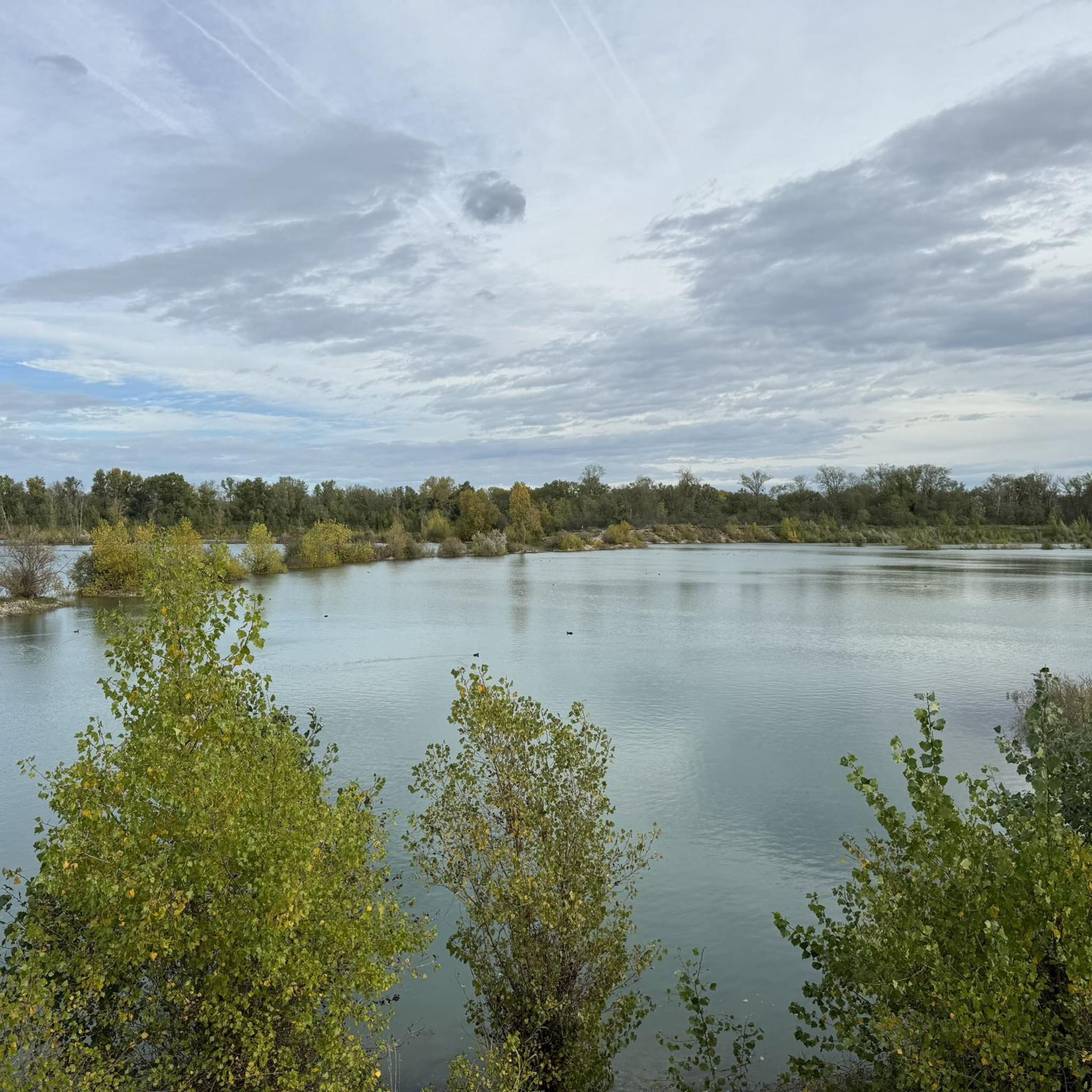
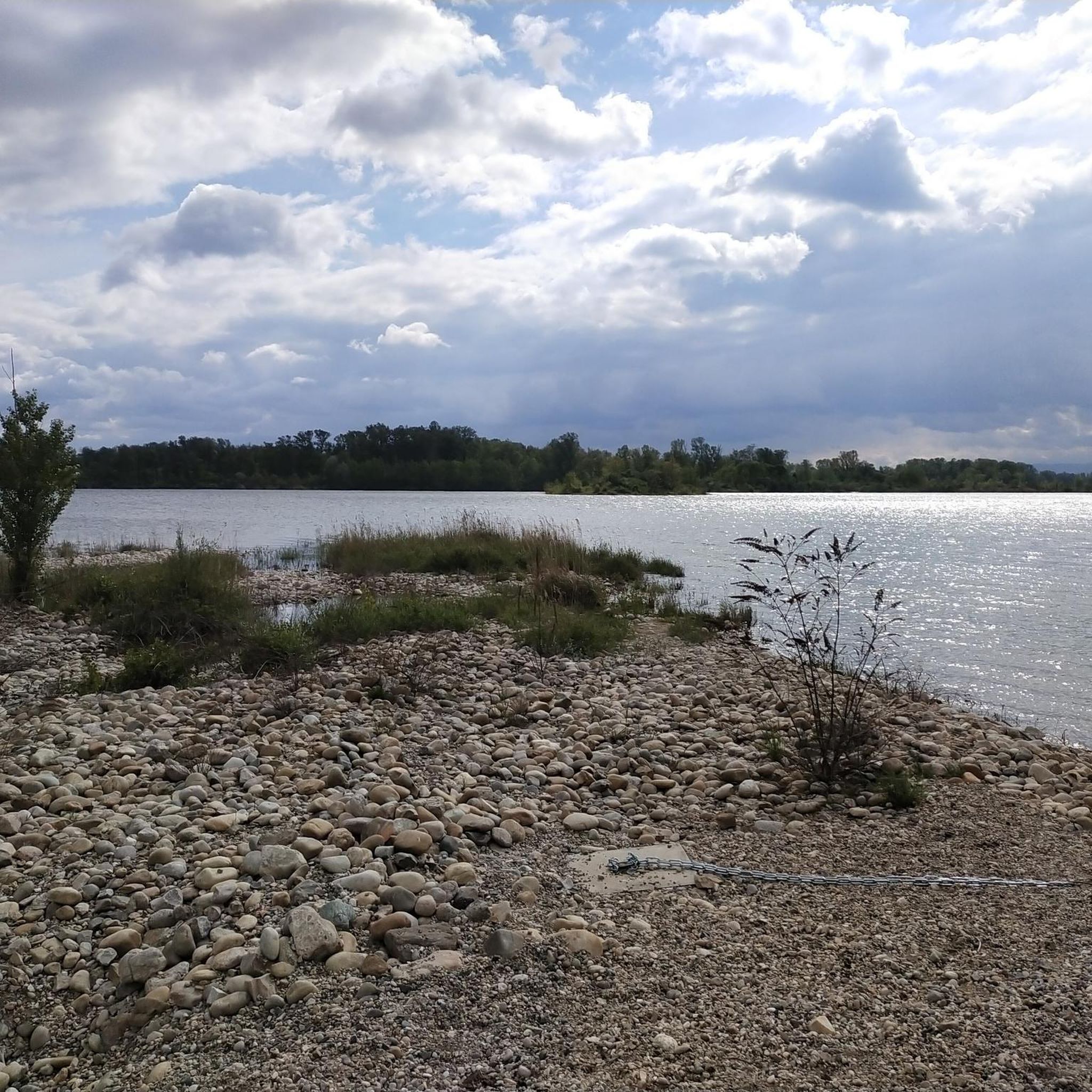
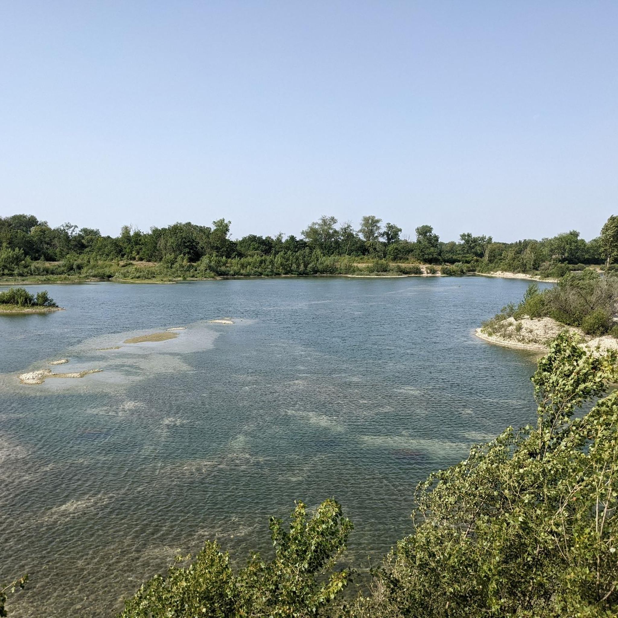
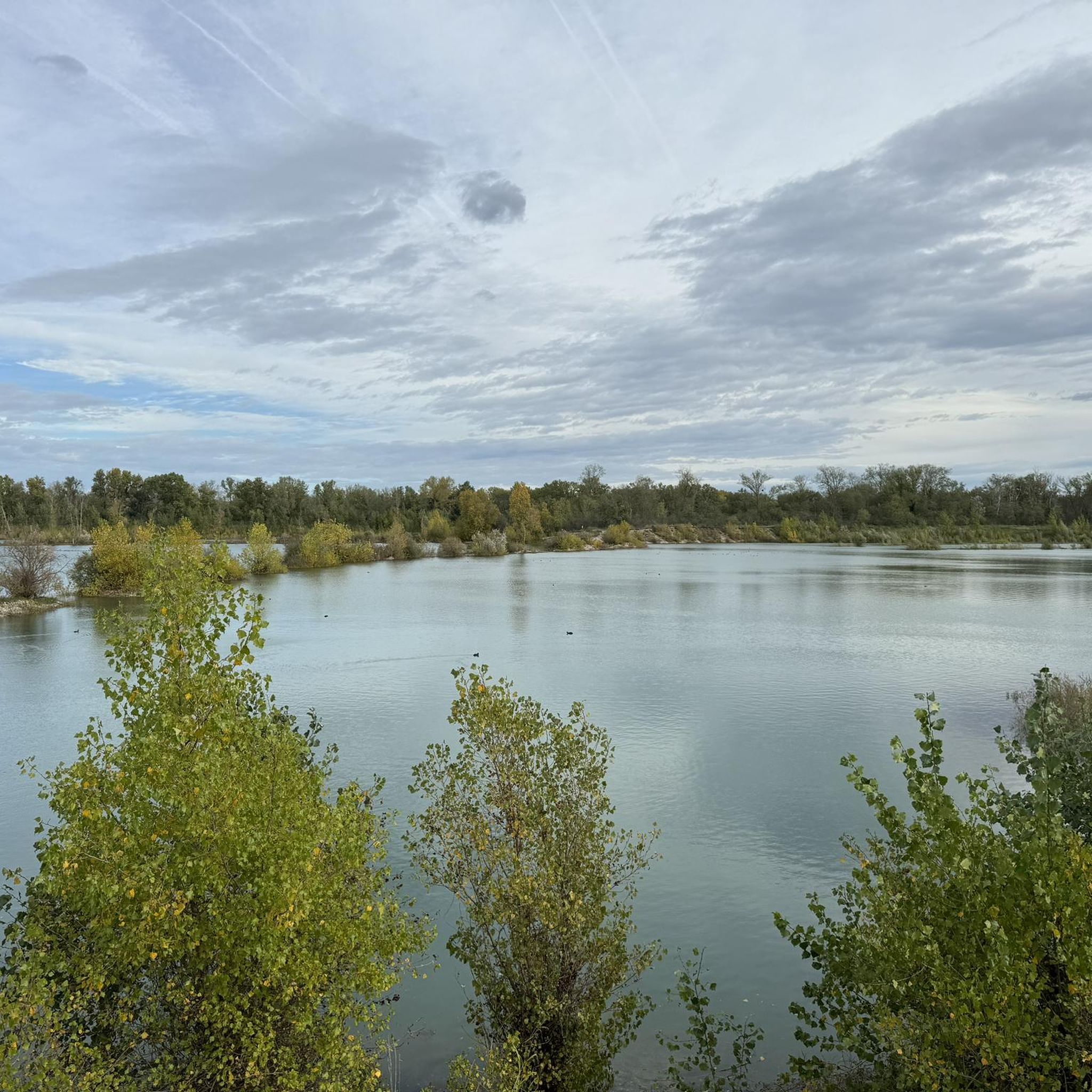
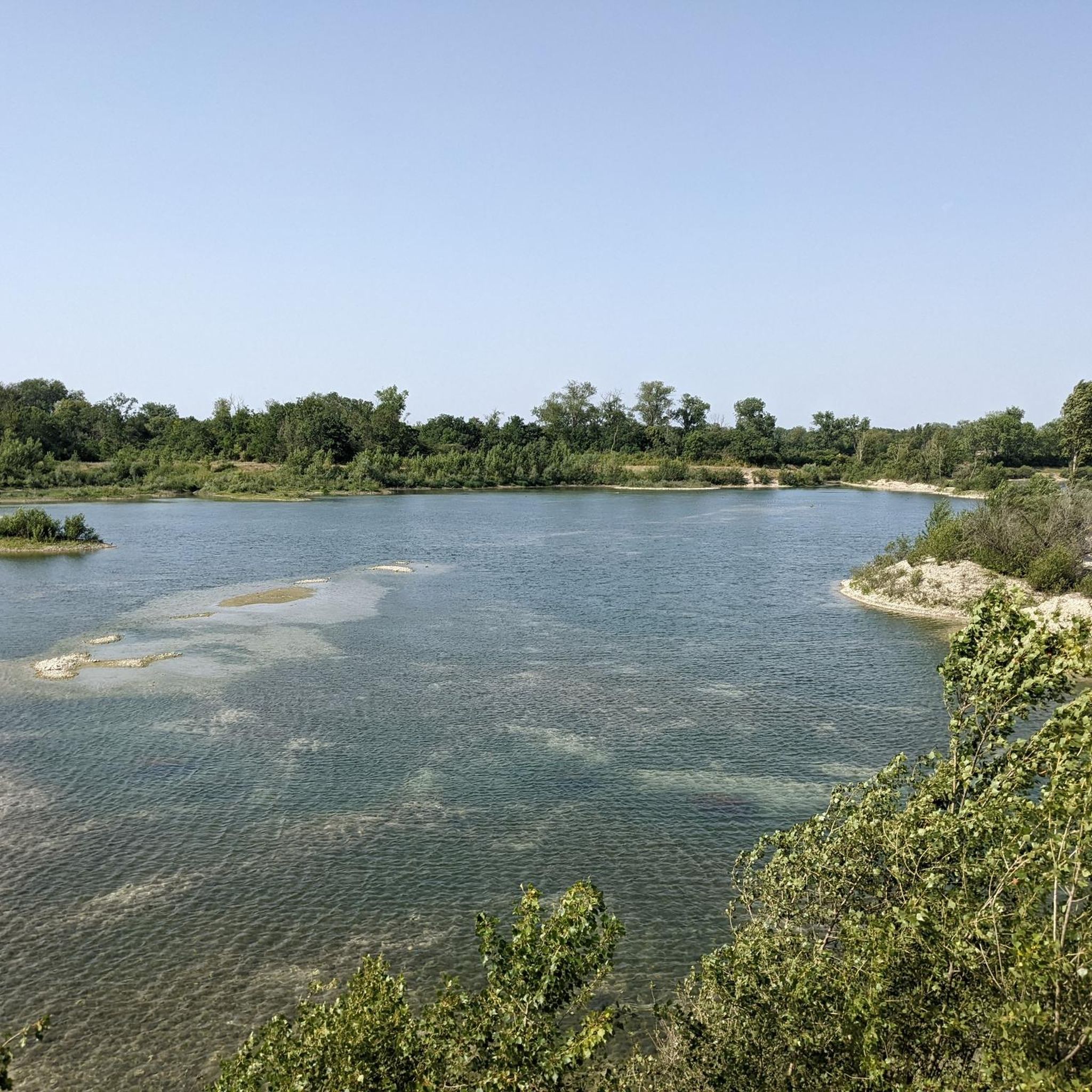
The Morlet ford (located near the tailrace and the Miribel canal) is a well-known crossing point for walkers, cyclists, and mountain bikers within the Grand Parc de Miribel-Jonage. It connects sections of paths and tracks between the tailrace, the Morlet area, and the lakes of the large park (such as the Lac des Eaux Bleues).
0
0
Le Grand Parc Miribel Jonage is one of the largest peri-urban natural parks in Europe, extending over 2,200 hectares of preserved nature on the outskirts of Lyon. Located on an island formed by the Miribel and Jonage canals, this multifunctional site serves as a green lung for the Lyon metropolitan area, a flood control zone for the Rhône river, and a strategic drinking water reservoir. It is the essential meeting place for Lyon residents for water activities, cycling, and outdoor relaxation.
0
0
The Lac du Grand Large (or Grand-Large reservoir) is an artificial lake of about 150 hectares located in the east of Lyon, straddling the communes of Décines-Charpieu and Meyzieu. Created at the end of the 19th century during the development of the Jonage canal, it historically serves as a reservoir for the Cusset hydroelectric power plant in Villeurbanne. Today, it is one of the most popular outdoor recreation areas in the Lyon metropolitan area.
0
0
The Lac du Grand Large (or Grand-Large reservoir) is an artificial lake of about 150 hectares located in the east of Lyon, straddling the communes of Décines-Charpieu and Meyzieu. Created at the end of the 19th century during the development of the Jonage canal, it historically serves as a reservoir for the Cusset hydroelectric power plant in Villeurbanne. Today, it is one of the most popular outdoor leisure spaces in the Lyon metropolitan area.
0
0


Very nice passage but be careful there are a lot of people at times.
0
0

we breathe well with beautiful landscapes
0
0
Newly paved, nothing to complain about, magically well done and magnificent scenery
0
0
Frequently Asked Questions
How many gravel bike trails are available around Thil?
There are over 30 gravel bike trails around Thil, offering a variety of experiences for different skill levels. You'll find a good mix of easy, moderate, and difficult routes to explore the region's diverse landscapes.
What kind of terrain can I expect on gravel bike trails near Thil?
The terrain around Thil is varied, benefiting from its location within the Meurthe-et-Moselle department. You can expect rural tracks, wooded paths, and small roads winding through valleys, open plateaus, and forests. The region is known for its diverse cycling itineraries, integrating natural features with local heritage.
Are there any easy gravel bike trails suitable for beginners around Thil?
Yes, Thil offers several easy gravel bike trails. For a more relaxed ride, consider the Jonage Canal and Grand Large – Panorama of Le Grand Large loop from Meyzieu, which is an easy 26.1-mile (42 km) route, perfect for those new to gravel biking or looking for a less strenuous outing.
Are there any family-friendly gravel routes in the Thil area?
While specific 'family-friendly' routes are not explicitly categorized, the easier trails, particularly those with minimal elevation gain and away from heavy traffic, would be suitable. The region's network of cycle paths and greenways, like those mentioned in the broader Meurthe-et-Moselle department, often provide safe and enjoyable options for families. Look for routes described as 'easy' on komoot for the best family options.
What are some notable landmarks or natural features I can see along the gravel bike trails?
Many routes around Thil pass by interesting natural features and landmarks. You might encounter beautiful lakes such as Mallard Promenade — Blue Waters Lake, Grand Brotteau Peninsula, Lac des Eaux Bleues, and Le Grand Large. The Miribel-Jonage Park is also a significant area for outdoor activities.
Are there any circular gravel bike routes around Thil?
Yes, many of the gravel routes around Thil are designed as loops, allowing you to start and finish at the same point. Examples include the challenging Mount Cindre – Feyssine Park loop from Montluel and the moderate The open sea – Feyssine Park loop from Jons.
What is the best time of year for gravel biking in Thil?
The Meurthe-et-Moselle region generally offers good cycling conditions from spring through autumn. Spring brings blooming landscapes, while autumn provides pleasant temperatures and vibrant foliage. Summer is also suitable, though it can be warmer. Winter conditions might include colder temperatures and potentially muddy or icy paths, so check local weather forecasts before heading out.
What do other gravel bikers enjoy most about gravel biking in Thil?
The area is highly rated by the komoot community, with an average score of 4.6 stars from over 100 reviews. Reviewers often praise the varied terrain, from rural tracks to wooded paths, and the opportunity to explore the region's natural beauty and heritage. Many appreciate the network of paths that cater to different ability levels.
Are there any long-distance or challenging gravel routes near Thil?
For experienced gravel bikers seeking a challenge, Thil offers several difficult and longer routes. The La Forestière Lake – Croix de Rampau loop from Miribel is a demanding 79.5-mile (128 km) trail with significant elevation gain, providing an extensive and rewarding ride.
Is Thil well-connected for cyclists using public transport or looking for parking?
While specific details on parking and public transport directly in Thil for cyclists are not highlighted, the broader Meurthe-et-Moselle department is well-equipped for cycling tourism. Many towns and villages along the extensive cycle path network offer parking facilities. For detailed public transport options, it's advisable to check local transport services for connections to specific starting points of routes.
Can I find routes that follow rivers or canals around Thil?
Yes, the region's geography includes riverine landscapes. You can find routes that follow waterways, such as the moderate Rhône Riverbanks – Beautiful view of the Rhône loop from Beynost, which leads through scenic riverine areas, offering a different perspective of the landscape.
Where can I find more information about cycling in the Meurthe-et-Moselle department?
For broader information on cycling opportunities within the Meurthe-et-Moselle department, including its 600 km of cycle paths and initiatives like the 'Moselle Loop', you can visit the official tourism website: tourisme-meurtheetmoselle.fr. This resource provides details on various itineraries and regional cycling infrastructure.
Most popular attractions around Thil

Get inspired with the komoot mobile app


Explore more
Browse the best Gravel rides in other regions.
