The best gravel rides around Nivollet-Montgriffon
4.0
(1)
41
riders
18
rides
Gravel biking around Nivollet-Montgriffon offers routes through the Ain department in eastern France, situated within the Auvergne-Rhône-Alpes region. The area is characterized by a diverse landscape, including a plateau with an average elevation of 800 meters, mountains, and rivers. This setting, part of the natural and historical Bugey region within the Jura massif, provides varied terrain suitable for gravel cycling. Elevated points offer panoramic views of the Dombes and Bresse regions.
Best gravel bike trails around Nivollet-Montgriffon
- The most popular…
Last updated: November 2, 2026
4.0
(1)
5
riders
105km
07:32
1,800m
1,800m
Hard gravel ride. Very good fitness required. Mostly paved surfaces.
5
riders
59.4km
04:13
1,010m
1,010m
Hard gravel ride. Very good fitness required. Mostly paved surfaces.

7
riders
65.8km
04:23
960m
960m
Hard gravel ride. Very good fitness required. Mostly paved surfaces.
9
riders
38.0km
02:08
120m
120m
Moderate gravel ride. Good fitness required. Mostly paved surfaces.
9
riders
35.8km
02:04
220m
220m
Moderate gravel ride. Good fitness required. Mostly paved surfaces.
Get access to more routes and recommendations from other explorers.
Already have an account?
Our route recommendations are based on thousands of hikes, rides, and runs completed by other people on komoot.
Start today with a free account
Your next adventure awaits.
Tips from the Community

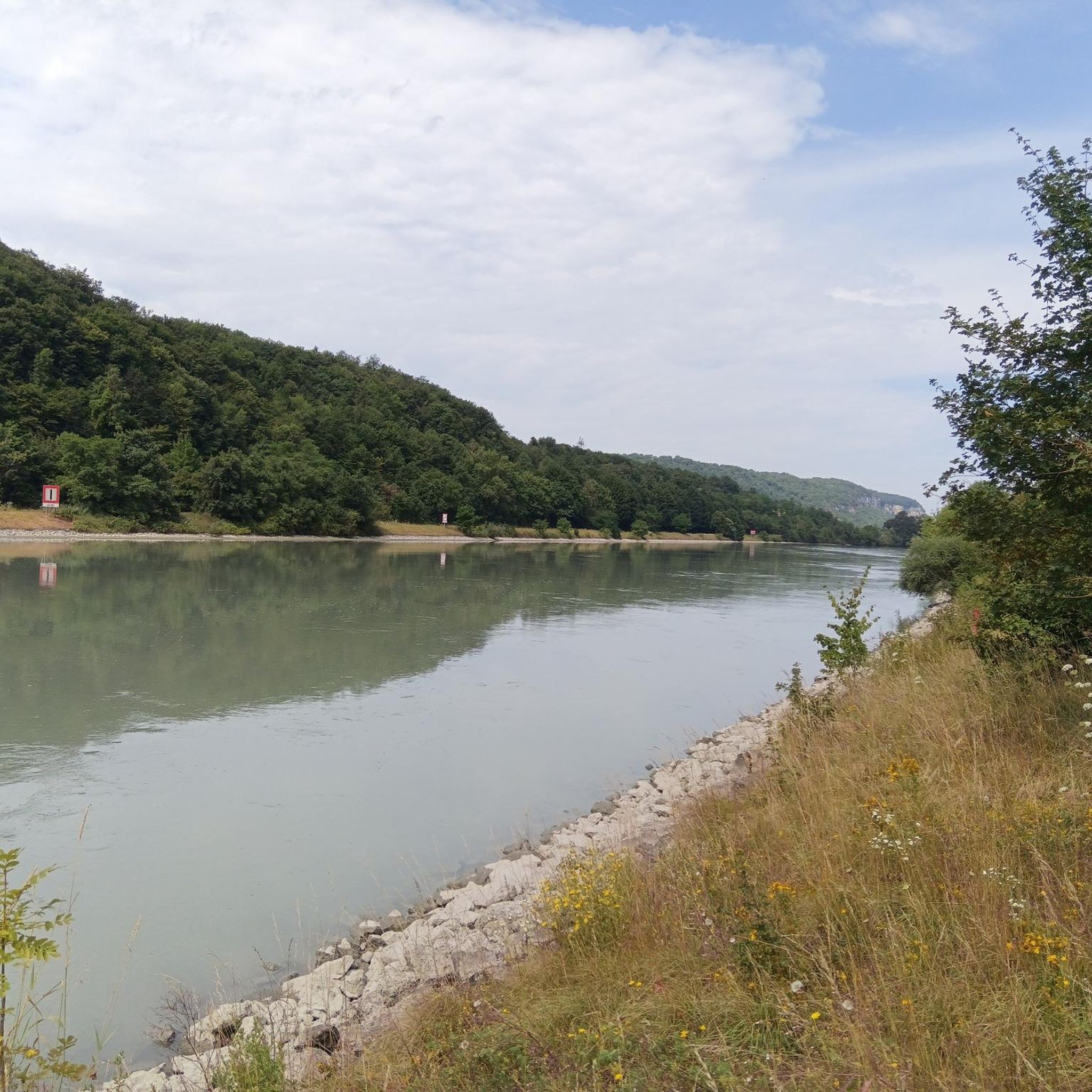
The Sault-Brénaz dam (also called Villebois dam or Sault-Brénaz facility) is an important hydroelectric infrastructure located on the Rhône River. It is situated on the border between the departments of Ain and Isère, mainly near the communes of Sault-Brénaz and Villebois. Commissioned in 1986, this structure was the last major facility built by the Compagnie Nationale du Rhône (CNR) on the upper Rhône.
0
0
The Sault-Brénaz dam (also called Villebois dam or Sault-Brénaz facility) is an important hydroelectric infrastructure located on the Rhône River. It lies on the border between the departments of Ain and Isère, mainly near the communes of Sault-Brénaz and Villebois. Commissioned in 1986, this structure was the last major development built by the Compagnie Nationale du Rhône (CNR) on the upper Rhône.
0
0

Very beautiful campsite, quiet, well-maintained, clean sanitary facilities, swimming pool. Open from mid-April to the end of September.
0
0
The Abbey of Ambronay was founded in 800 by Barnard de Romans, a soldier, an officer of Charlemagne, and a future saint canonized in 944. The abbey church, built on the ruins of the Carolingian church, features gargoyles, sculptures, and paintings that will amuse children with their fascinating details. The cloister is a space of serenity that invites meditation: your imagination may perhaps chase some ghostly figures of monks. The visit will end in the gardens where you will discover medicinal plants on the botanical trail. https://www.ain-tourisme.com/visiter-patrimoine/monuments-religieux-a-visiter-dans-l-ain/abbaye-benedictine-dambronay/
1
0

Spectacular! One of the most beautiful views in the region. Incredible sunset.
0
0
Great camping, cheap but great and new facility's. It's near a white water course which can be entertaining to see people paddle on
0
0

The castle overlooks the Ain plain. A few benches are available for relaxing while admiring the view. It's possible to walk around the castle by continuing along the path past the entrance. It's accessible with a paid ticket, and opening hours vary depending on the season.
0
0
Frequently Asked Questions
How many gravel bike trails are available in Nivollet-Montgriffon?
There are over 15 gravel bike trails available around Nivollet-Montgriffon. These routes cater to various skill levels, with a mix of moderate and difficult options.
What kind of terrain can I expect on gravel bike trails around Nivollet-Montgriffon?
The terrain in Nivollet-Montgriffon is diverse, characterized by a plateau with an average elevation of 800 meters, surrounding mountains, and river valleys. You can expect varied surfaces, including gravel paths, forest roads, and some paved sections, offering both challenging climbs and scenic descents within the Bugey region of the Jura massif.
Are there challenging gravel bike routes in Nivollet-Montgriffon?
Yes, Nivollet-Montgriffon offers several challenging gravel bike routes. For instance, the Allymes Castle – Col du Nivollet loop from Ambérieu-en-Bugey is a difficult 90.9 km trail with significant elevation gain. Another demanding option is the Evosges Pass – Lesines Pond loop from Évosges, which covers 59.4 km with over 1000 meters of ascent.
Are there any easier or moderate gravel bike routes suitable for less experienced riders?
While many routes are challenging, there are moderate options available. The Village Scene Mural – Church loop from Le Tiret is a moderate 28.4 km trail that leads through pastoral landscapes, offering a less strenuous experience.
What natural features or landmarks can I see while gravel biking in Nivollet-Montgriffon?
The region offers stunning panoramic views of the Dombes and Bresse regions from elevated points. You can also encounter natural features like the Mandorne valley and various rivers. Nearby attractions include Lac Bleu on the Gardon and the Source of the Gardon.
Are there any historical sites or castles accessible by gravel bike?
Yes, you can explore historical sites while gravel biking. The Allymes Castle – Col du Nivollet loop from Ambérieu-en-Bugey passes by Allymes Castle. Other nearby historical points of interest include Château Saint-Germain.
Can I find circular gravel bike routes in the area?
Many of the gravel bike routes in Nivollet-Montgriffon are designed as loops, allowing you to start and end at the same point. Examples include the The Albarine – Tour Saint-Denis loop from Torcieu and the Bosse de Vaux-Bettand – Chateau des Allymes loop from Ambutrix.
What is the best season for gravel biking in Nivollet-Montgriffon?
The region's diverse landscape and generally tranquil atmosphere make it suitable for gravel biking across multiple seasons. Spring and autumn typically offer pleasant temperatures and vibrant scenery, while summer provides longer daylight hours. Always check local weather conditions before heading out.
Is Nivollet-Montgriffon suitable for family-friendly gravel biking?
The tranquil nature of Nivollet-Montgriffon, combined with some moderate routes, can make it suitable for families. Look for shorter, less challenging loops like the Village Scene Mural – Church loop from Le Tiret, which offers pastoral landscapes and a manageable distance.
What do other gravel bikers enjoy most about the trails in Nivollet-Montgriffon?
The gravel bike trails in Nivollet-Montgriffon are highly rated by the komoot community, with an average score of 5.0 stars. Reviewers often praise the varied terrain, the stunning panoramic views from elevated points, and the peaceful, natural environment of the Bugey region.
Are there options for parking near the gravel bike trails?
While specific parking areas are not detailed for every route, many trails start from villages or towns like Ambérieu-en-Bugey, Évosges, Le Tiret, Ambutrix, or Torcieu, where public parking is generally available. It's advisable to check the starting point of your chosen route for specific parking information.
Can I reach gravel bike trails in Nivollet-Montgriffon using public transport?
Access to trailheads by public transport can vary. Larger towns like Ambérieu-en-Bugey, a common starting point for some routes, may have better public transport connections. For smaller villages, public transport options might be limited, so planning your journey in advance is recommended.
Most popular routes around Nivollet-Montgriffon
Most popular attractions around Nivollet-Montgriffon

Get inspired with the komoot mobile app


Explore more
Browse the best Gravel rides in other regions.
