The best gravel rides around Glaignes
3.5
(2)
20
riders
4
rides
Gravel biking around Glaignes offers routes through a rural commune in northern France, characterized by varied terrain. The elevation ranges from 46 to 116 meters, providing gentle undulations suitable for mixed-difficulty rides. River valleys, such as those of the Sainte-Marie river and Baybelle stream, contribute to picturesque pathways. The area features verdant landscapes and a network of less-trafficked roads and agricultural tracks.
Best gravel bike trails around Glaignes
- The most popular gravel bike trail is Crépy-en-Valois to the Ourcq Canal…
Last updated: July 2, 2026
3.5
(2)
10
riders
61.5km
04:58
450m
450m
Hard gravel ride. Very good fitness required. You may need to push your bike for some segments of this route.
3
riders
64.7km
04:20
670m
670m
Hard gravel ride. Very good fitness required. You may need to push your bike for some segments of this route.

Sign up for free
5
riders
44.4km
02:31
150m
150m
Moderate gravel ride. Good fitness required. Mostly paved surfaces. Suitable for all skill levels.
2
riders
32.9km
01:56
200m
200m
Moderate gravel ride. Good fitness required. Mostly paved surfaces. Suitable for all skill levels.
Our route recommendations are based on thousands of hikes, rides, and runs completed by other people on komoot.
Start today with a free account
Your next adventure awaits.
Login or Signup
Tips from the Community

In the heart of the Compiègne forest, the Armistice Glade marks the place where the armistice was signed on November 11, 1918, and then that of June 22, 1940. The site today includes the memorial with the “Armistice Wagon” (recreated car), the statue of Marshal Foch and the Alsace-Lorraine monument.
0
0


One of the largest bridges in the city of Compiègne owes its construction to Louis XV. An obelisk was erected in the center of the bridge during its reconstruction in 1949.
2
0
The square itself houses a statue of Joan of Arc, a tribute to the city's historical connection to this iconic figure. The Town Hall, with its rich history and stunning architecture, continues to captivate visitors, offering a glimpse into the past while remaining a vibrant part of Compiègne's present.
2
0
The architecture of the town hall is a true feast for the eyes. The central structure is dominated by a tall bell tower, flanked by two turrets connected by a decorative railing. This imposing façade, 47 meters high and 24 meters wide, is decorated with striking Gothic elements such as pinnacles and basket arches. The large niche now houses a high relief depicting the equestrian statue of Louis XII. It is an original creation from 1869 by the sculptor Henri-Alfred Jacquemart in the realistic style so prevalent at the time. However, contrary to the usual appearance of equestrian statues during the reign of Louis XII, Henri-Alfred Jacquemart chose not to build a horse walking "à l'amble," that is, with both straight legs raised simultaneously. On October 12, 1530, a clock was placed on the summit of the bell tower. From that time on, every quarter of an hour, she animated three wooden jaquemarts with bell hammers. The Compiègneis quickly gave them three nicknames corresponding to the enemies of the time: Langlois for the English, Flandrin for the Flemish, and Lansquenet for the Germans. Even today, they chant the life of the city by "punching the time," that is, by striking their hammer to strike the hours.
2
0

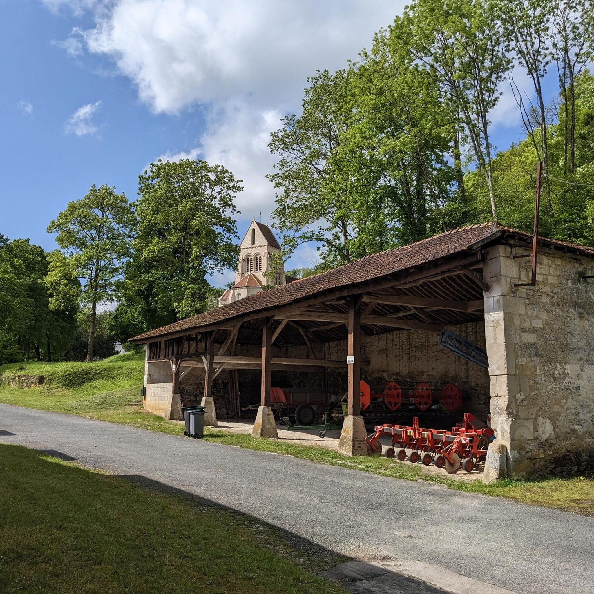
A village of character located in the heart of the forest, which offers a pleasant and exotic stopover on several tours crossing the Compiègne forest.
0
0

Gravel course, excellent condition required
0
0
Frequently Asked Questions
How many gravel bike trails are available around Glaignes?
There are several gravel bike trails around Glaignes, offering diverse experiences through the region's rural landscapes. You'll find a mix of routes that explore river valleys, verdant scenery, and quiet country roads.
What are the difficulty levels of gravel bike trails in Glaignes?
The gravel bike trails in Glaignes primarily range from moderate to difficult. While there are no easy-rated routes, the region's gentle undulations, with elevations between 46 and 116 meters, ensure engaging rides without being overly strenuous. You'll find 3 moderate routes and 2 difficult routes to challenge yourself.
Are there any family-friendly gravel biking options near Glaignes?
While the listed routes are rated moderate to difficult, the general terrain around Glaignes, characterized by gentle undulations and less-trafficked rural roads, can be suitable for families with some biking experience. Consider routes that follow riverine paths for potentially flatter sections, though specific 'easy' rated family routes are not currently highlighted.
What kind of landscapes can I expect to see on gravel bike trails around Glaignes?
Gravel biking around Glaignes offers a journey through verdant landscapes, river valleys, and quiet rural areas. You'll encounter picturesque paths along the Sainte-Marie river and Baybelle stream, as well as agricultural tracks and forest sections, providing a refreshing and immersive experience in nature.
Are there any circular gravel bike routes in the Glaignes area?
Yes, there are circular routes available. For example, the Compiègne Town Hall – On the banks of the Oise loop from Saint-Sauveur is a popular 27.8-mile (44.8 km) loop that takes you along riverbanks and through rural landscapes.
What are some notable historical or natural attractions I can visit along the gravel routes?
The region around Glaignes is rich in history and natural beauty. You can explore historical sites like the Gallo-Roman ruins of Champlieu or the Douye Castle. The abandoned but majestic Château de Glaignes also offers an intriguing historical backdrop for your ride. These points of interest can add a cultural dimension to your outdoor adventure.
Where can I find parking for gravel bike trails near Glaignes?
As Glaignes is a rural commune, parking is generally available in village centers or near trailheads. For specific routes, it's advisable to check the starting point details on komoot for designated parking areas or suitable roadside parking options.
What do other gravel bikers enjoy most about gravel biking in Glaignes?
The komoot community highly rates the gravel biking experience in Glaignes, with an average score of 4.25 stars from over 3 reviews. Riders often praise the quiet rural roads, the varied terrain that includes gentle climbs and descents, and the immersive natural beauty of the verdant landscapes and river valleys.
Are there any routes that pass through forests or along canals?
Absolutely. The Crépy-en-Valois to the Ourcq Canal and the Forest of Retz route, for instance, explores both forest paths and scenic canal-side sections. Another option is The Retz Forest and the Automne Valley, which traverses dense forest.
What is the typical length and duration of gravel bike trails around Glaignes?
The gravel bike trails around Glaignes vary in length and duration. You can find routes like the Champlieu Roman Ruins – Douye Castle loop from Béthisy-Saint-Martin, which is about 20.4 miles (32.9 km) and takes around 2 hours 21 minutes, or longer rides such as the The Retz Forest and the Automne Valley, spanning 40.4 miles (65.0 km) and typically completed in about 5 hours 15 minutes.
Can I expect to see wildlife on the gravel bike trails near Glaignes?
Given Glaignes' rural character and verdant landscapes, it's possible to encounter various wildlife, especially in forested areas and along river valleys. Keep an eye out for local birds and small mammals, particularly during quieter times of the day.
Are there any routes that offer views of significant landmarks or historical sites?
Yes, several routes incorporate historical elements. For example, the Champlieu Roman Ruins – Douye Castle loop from Béthisy-Saint-Martin allows you to pass by the Gallo-Roman ruins of Champlieu and Douye Castle, offering glimpses into the region's past.
Most popular attractions around Glaignes

Get inspired with the komoot mobile app


Explore more
Browse the best Gravel rides in other regions.
