The best gravel rides around Les Fins
4.1
(11)
58
riders
20
rides
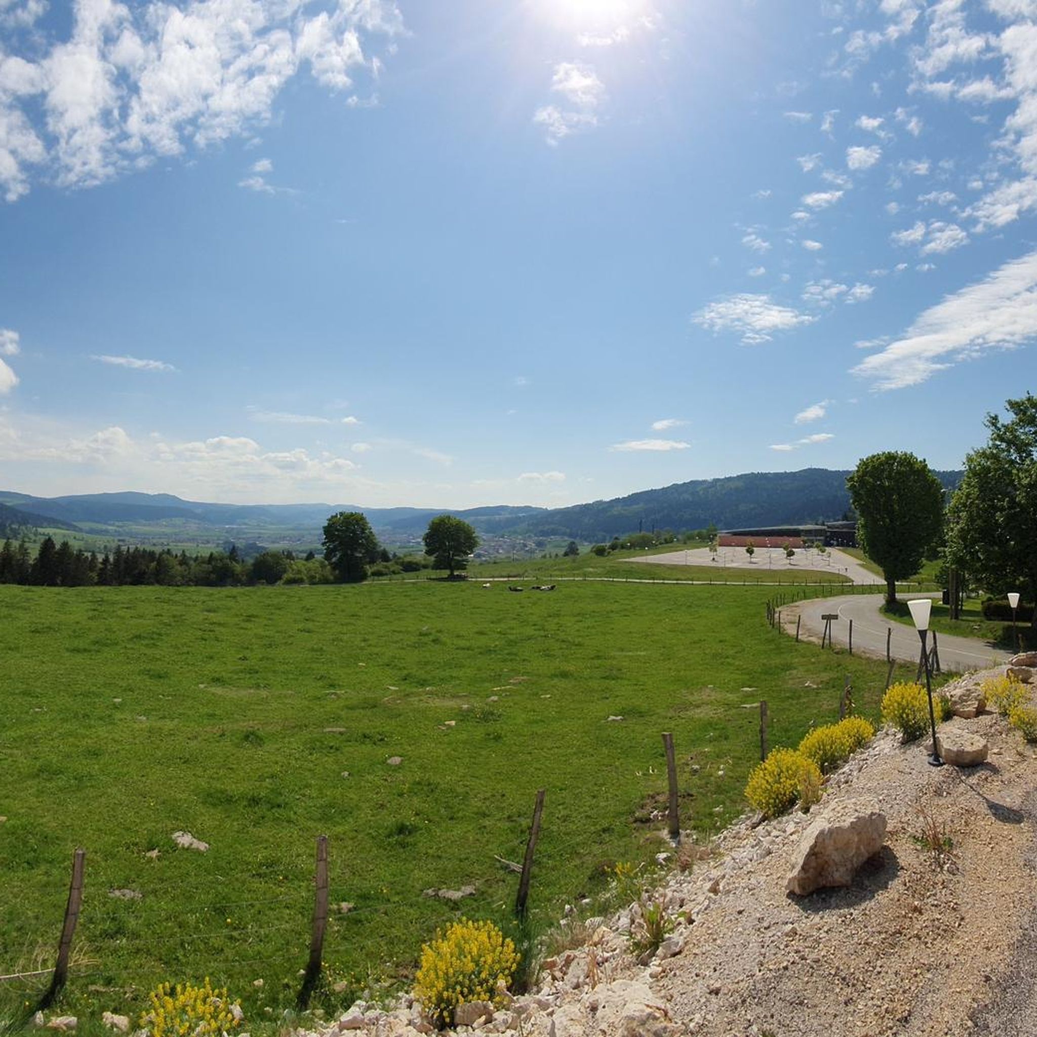
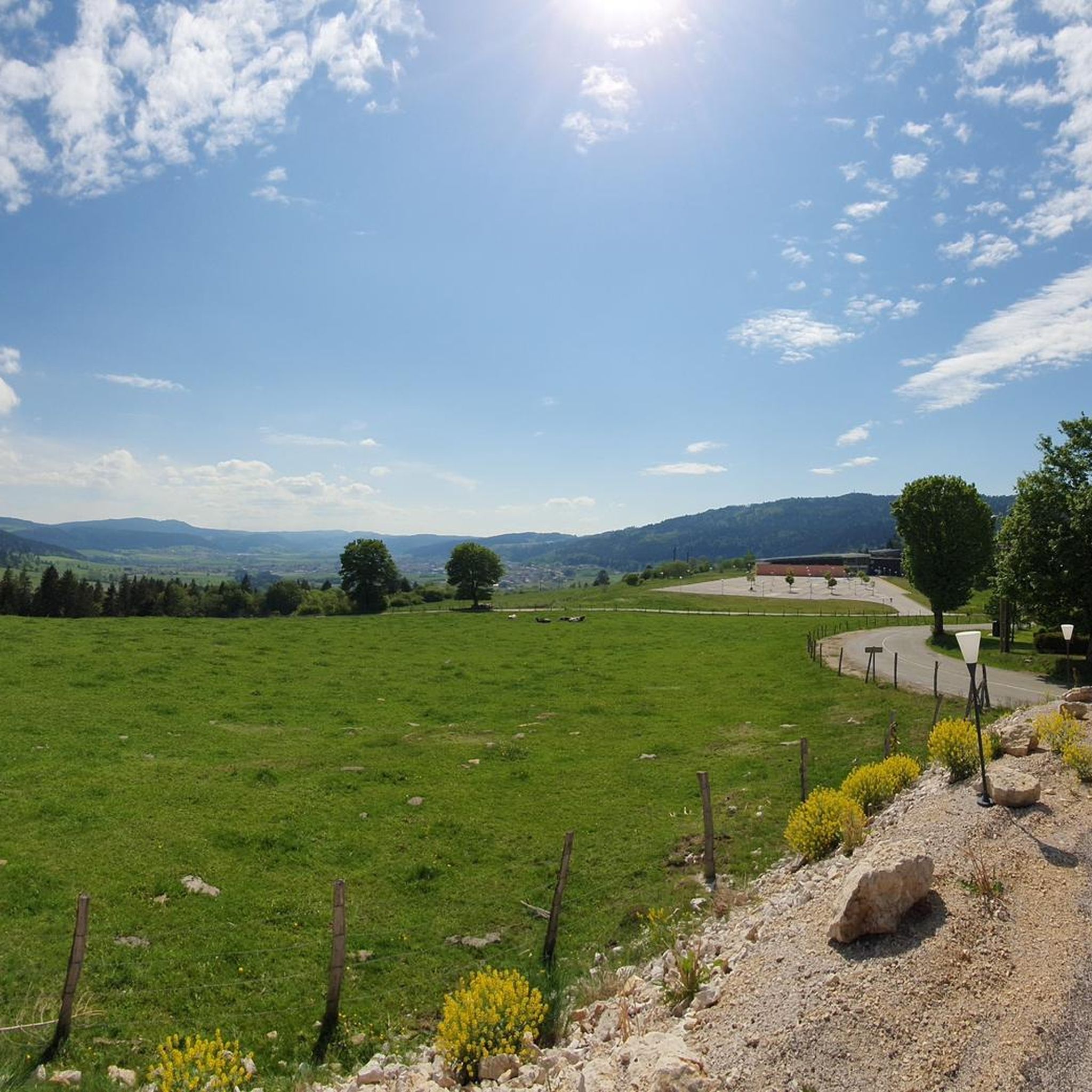
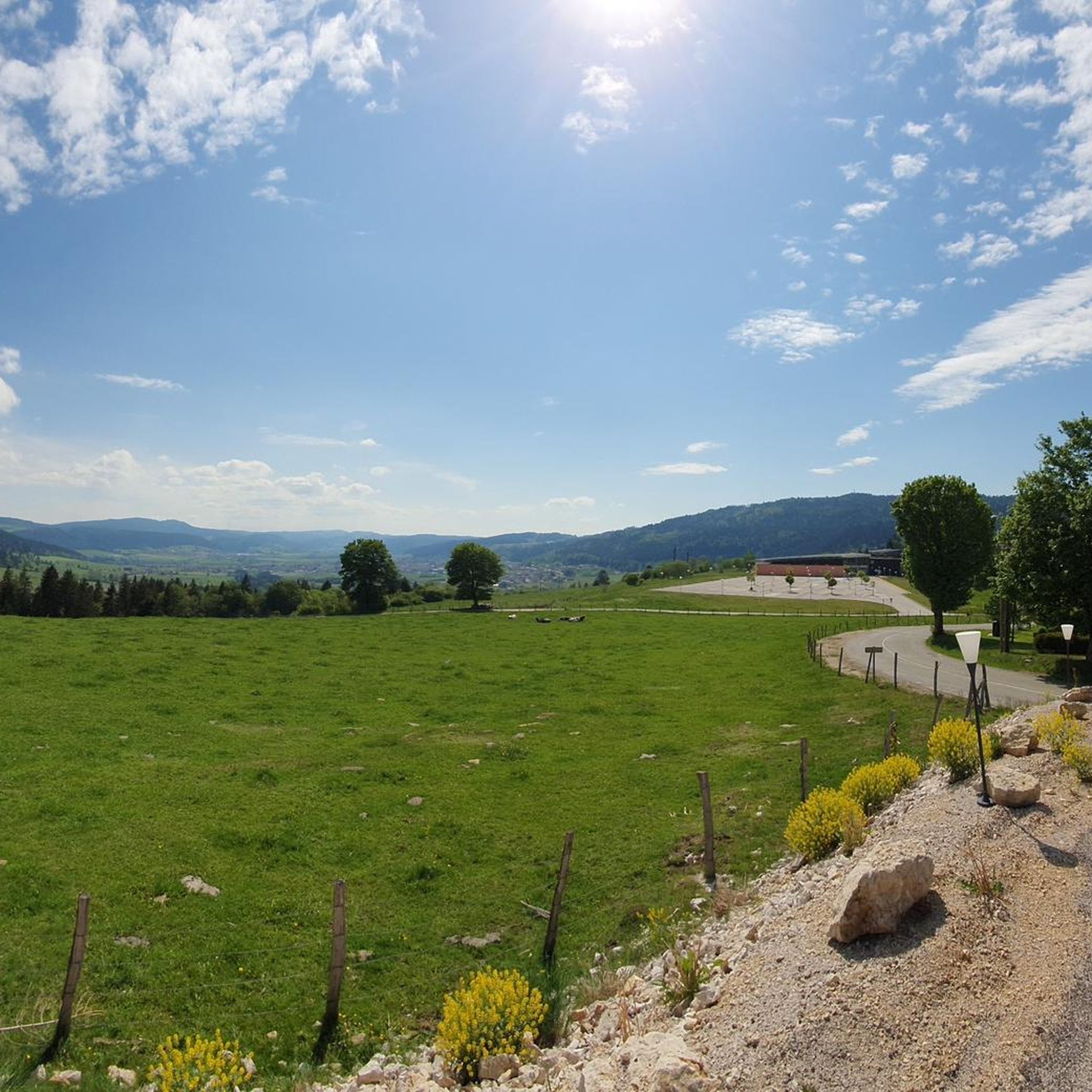
Gravel biking around Les Fins offers a diverse landscape characterized by rolling hills, dense woodlands, and river valleys. The region features a network of trails suitable for various skill levels, often traversing through the Jura mountains. Gravel bike routes here frequently include ascents and descents, providing varied terrain for riders.
Best gravel bike trails around Les Fins
- The most popular gravel bike trail is Sans dessus Dessoubre, a 30.6 miles (49.3 km) trail that takes 4 hours 6 minutes…
Last updated: May 22, 2026
3
riders
49.3km
04:06
930m
930m
Hard gravel ride. Very good fitness required. Mostly paved surfaces. Suitable for all skill levels.
5.0
(1)
4
riders
17.1km
01:17
190m
190m
Moderate gravel ride. Good fitness required. Mostly paved surfaces. Suitable for all skill levels.

Sign up for free
4.3
(3)
8
riders
127km
08:35
2,060m
2,060m
Hard gravel ride. Very good fitness required. You may need to push your bike for some segments of this route.
4.0
(1)
4
riders
35.3km
02:52
710m
710m
Hard gravel ride. Very good fitness required. Mostly paved surfaces. Suitable for all skill levels.
2.0
(1)
4
riders
Hard gravel ride. Very good fitness required. You may need to push your bike for some segments of this route.
Get access to more routes and recommendations from other explorers.
Sign up for free
Already have an account?
Our route recommendations are based on thousands of hikes, rides, and runs completed by other people on komoot.
Start today with a free account
Your next adventure awaits.
Login or Signup
Tips from the Community

Beautiful swimming lake, few people during the week
1
0

This path along the edge of fields and the forest leading to Cornabey is very pleasant. You cross a small bridge to span the stream.
0
0
This beautiful section unfolds along winding singletrack amidst the Jura fir trees. A real treat for gravel bikers and mountain bikers.
0
0

Beautifully situated, quiet BnB, the lake invites you to swim!
0
0


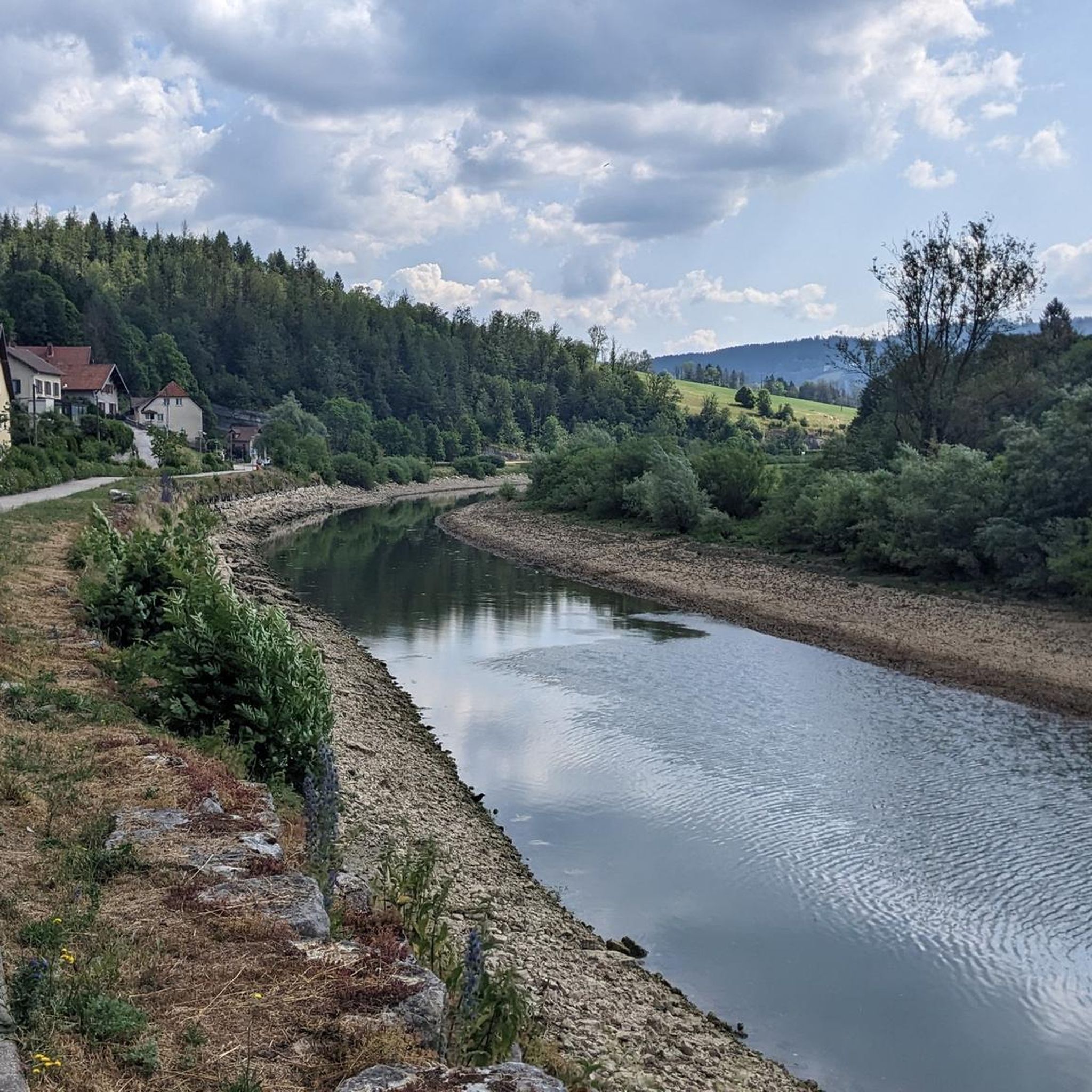
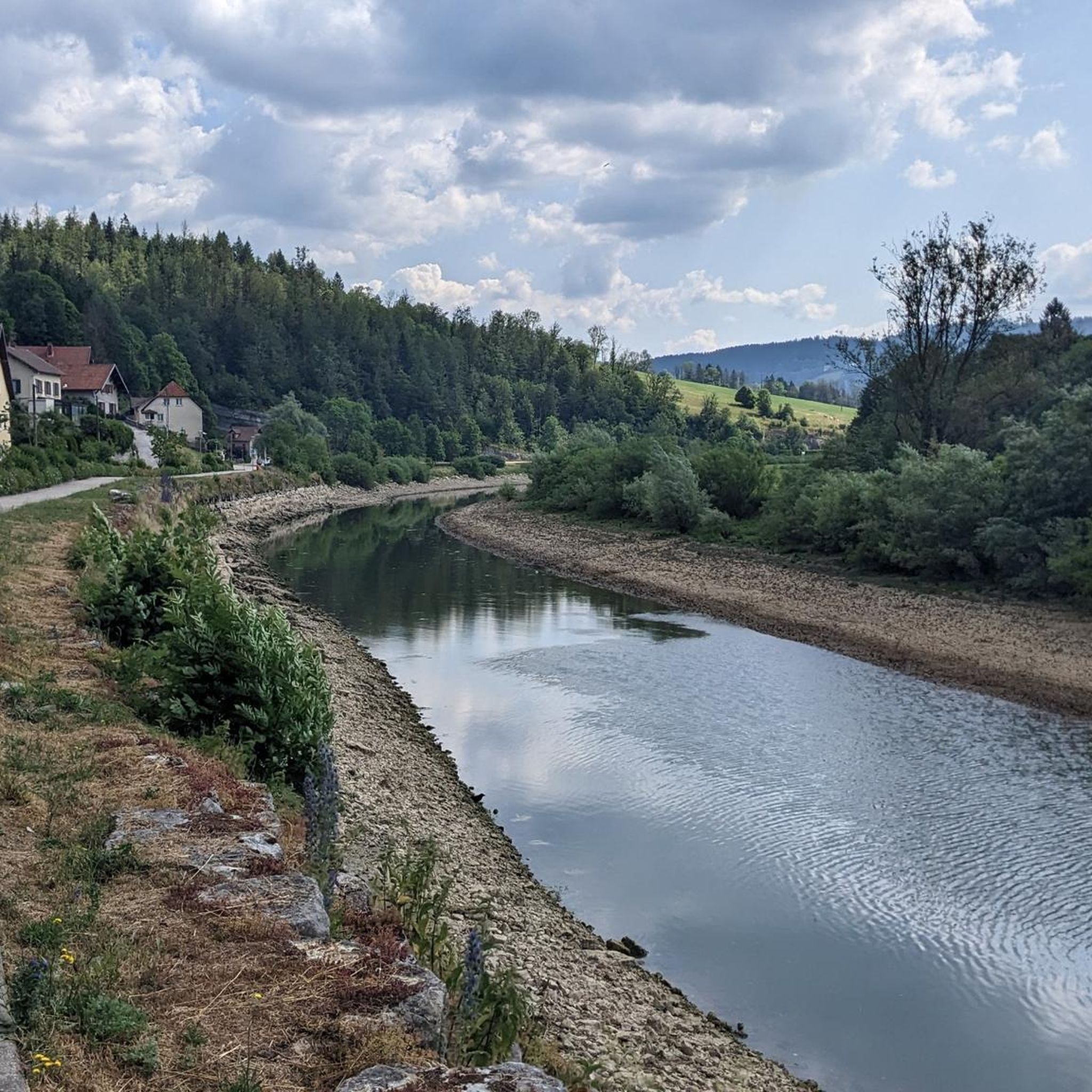
along the DESSOUBRE
1
0

The tuyés are the large towers which stand in the center of the old farms and in which the meat was smoked. Impossible not to stop at the tuyé du Papy Gaby. This Franche-Comté cured institution is also a museum and offers free tours and tastings.
1
0
This greenway is a former railway which connects Gilley to Pontarlier. The route is secure and equipped: you will find picnic areas and information panels on the surrounding area.
1
0
Frequently Asked Questions
How many gravel bike trails are available around Les Fins?
There are over 25 gravel bike routes in the Les Fins region, offering a diverse range of experiences. These trails navigate through rolling hills, dense woodlands, and river valleys, often traversing parts of the Jura mountains.
What is the typical difficulty level for gravel biking in Les Fins?
The gravel biking trails around Les Fins primarily feature moderate to difficult terrain. You'll find a good mix of ascents and descents, with 7 routes rated as moderate and 20 as difficult, providing varied challenges for riders.
Are there suitable gravel bike routes for beginners in Les Fins?
While many routes are challenging, beginners can find suitable options. For a more accessible experience through varied terrain, consider the moderate route Gilley at the end of my dreams, which is 10.6 miles (17.1 km) long.
What options are available for experienced gravel bikers seeking a challenge?
Experienced riders will find plenty of challenging routes. The Sans dessus Dessoubre trail is a demanding 30.6 miles (49.3 km) route with significant ascents and descents. For an even longer adventure, the La Cendrée Viewpoint – Col sur le Mont loop from Les Fins covers 79.5 miles (128.0 km) through mountainous landscapes.
Can I find circular gravel routes around Les Fins?
Yes, several routes offer a loop experience. A notable example is the La Cendrée Viewpoint – Col sur le Mont loop from Les Fins, which provides a comprehensive tour of the mountainous terrain.
What kind of scenery can I expect on gravel bike trails in Les Fins?
The region is known for its diverse scenery, including forested paths, river crossings, and scenic viewpoints. You'll encounter rolling hills and dense woodlands, characteristic of the Jura mountains, offering picturesque views throughout your ride.
Are there any interesting natural attractions or landmarks along the gravel trails?
Yes, the area boasts several natural attractions. You can find highlights such as the Saut du Doubs Waterfall, the dramatic Consolation Cirque, and various viewpoints like the View of Lake Tallières. Some routes also pass by lakes such as Brenets Lake.
What do other gravel bikers enjoy most about gravel biking in Les Fins?
The area is highly rated by the komoot community, with an average score of 4.3 stars from over 10 reviews. Reviewers often praise the varied terrain, the scenic forested paths, and the challenging ascents and descents that make for an engaging ride.
What is the best season for gravel biking in Les Fins?
The region's climate, with its distinct seasons, means that spring and autumn generally offer the most pleasant conditions for gravel biking, with milder temperatures and beautiful foliage. Summer can also be good, but be prepared for potentially warmer weather, especially on exposed sections. Winter riding is possible but may involve snow and ice, particularly at higher elevations in the Jura mountains.
Are there any less crowded gravel routes for a more tranquil experience?
For a quieter experience, consider exploring some of the less frequented routes that venture deeper into the forested areas away from popular viewpoints. While specific crowd levels vary, routes like La Brévine Weather Station – Lac des Taillères loop from La Brévine offer a substantial distance through natural landscapes, potentially providing more solitude.
What should I bring for gravel biking in Les Fins?
Given the varied terrain and potential for longer rides, it's advisable to bring appropriate gear. This includes a well-maintained gravel bike, a helmet, sufficient water and snacks, a repair kit, and navigation tools. Layered clothing is recommended to adapt to changing weather conditions, especially when traversing different elevations.
Most popular attractions around Les Fins

Get inspired with the komoot mobile app


Explore more
Browse the best Gravel rides in other regions.
