The best gravel rides around Grand'Combe-Châteleu
4.1
(8)
81
riders
17
rides
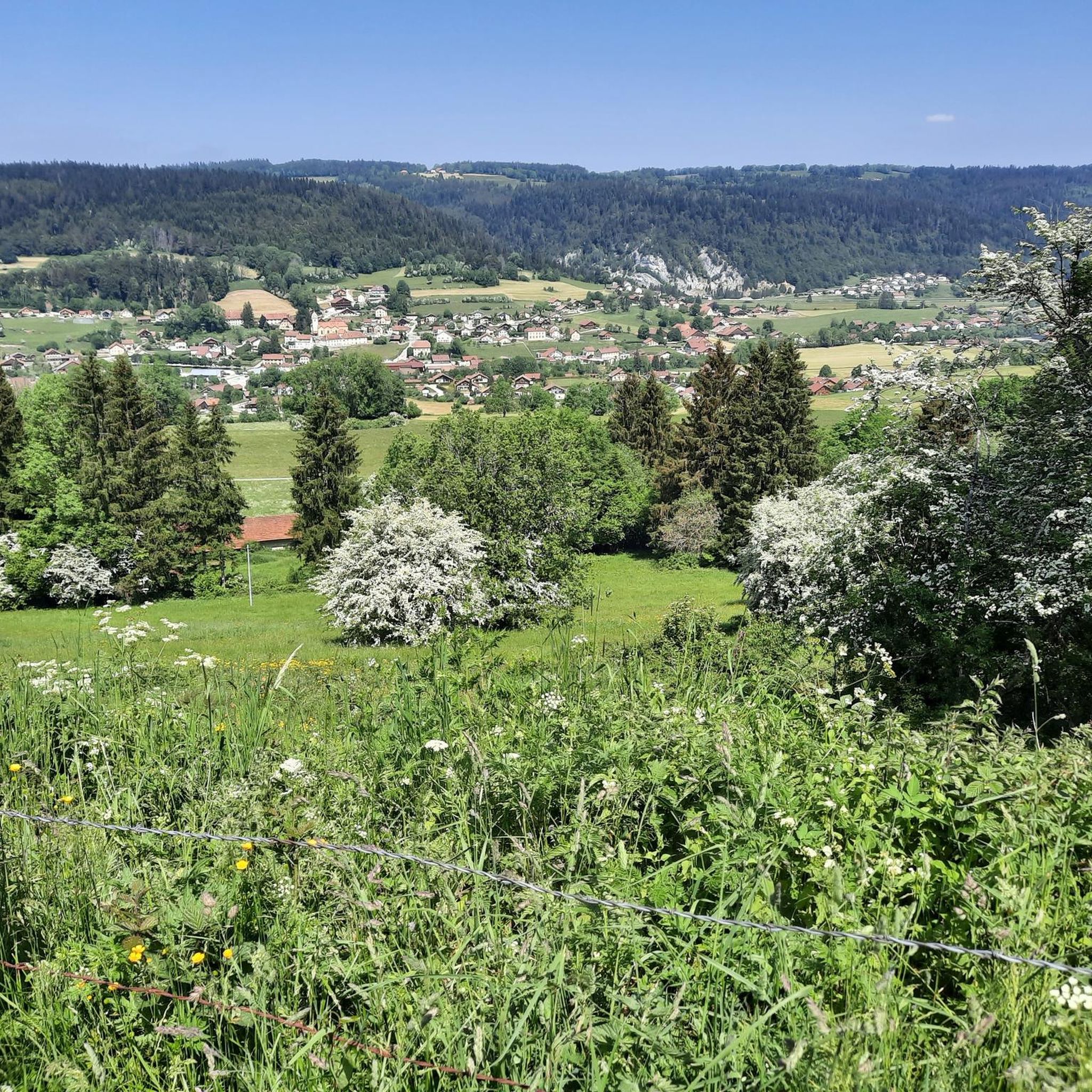
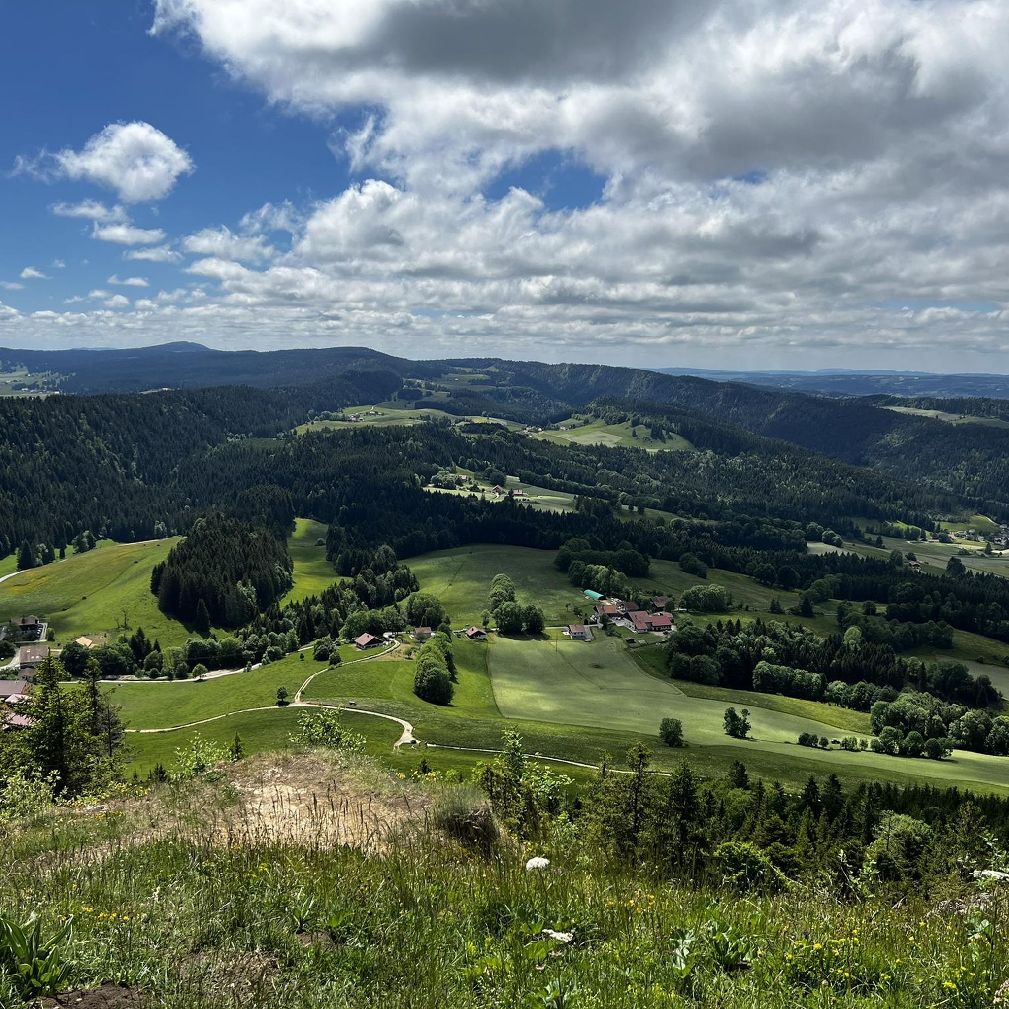
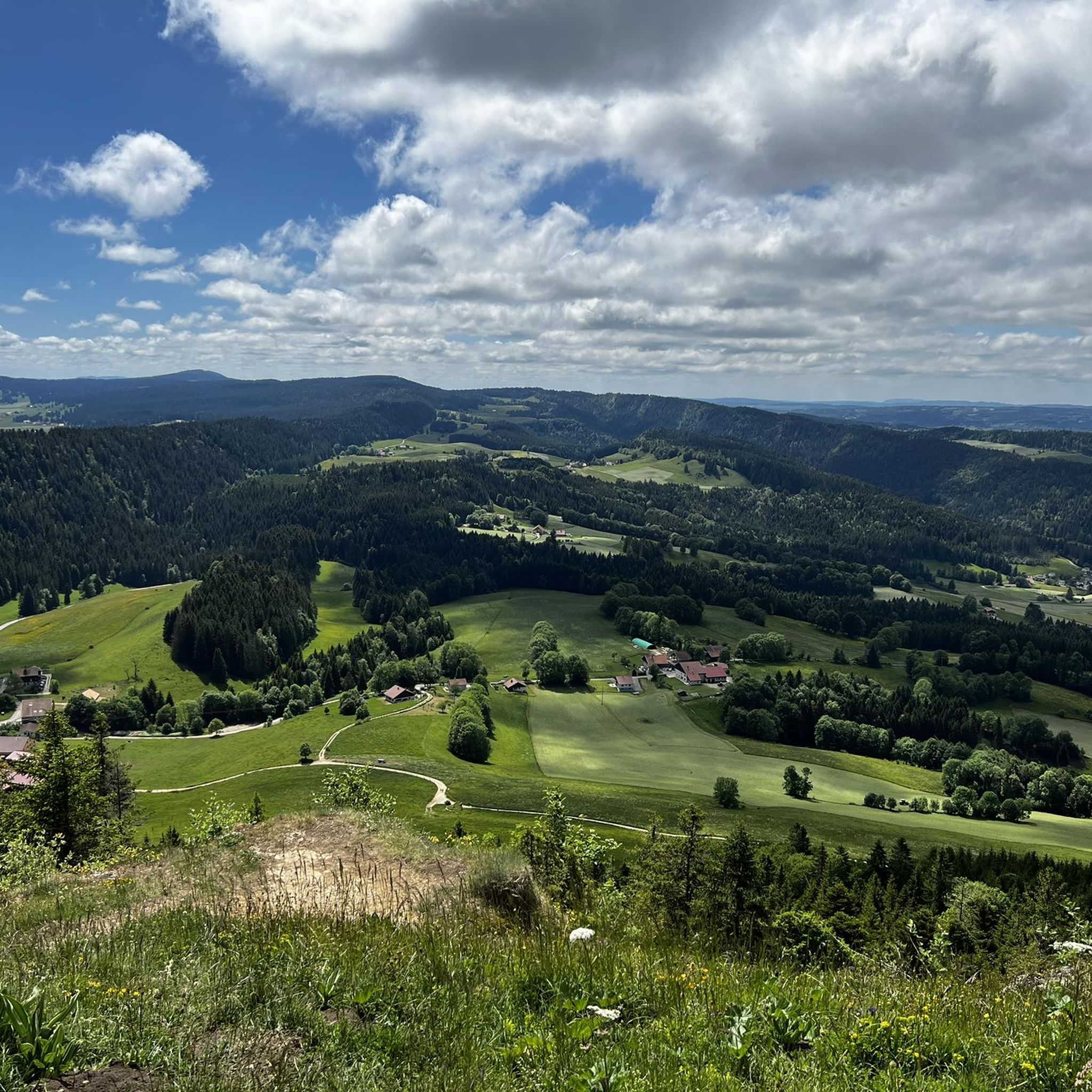
Gravel biking around Grand'Combe-Châteleu offers a diverse landscape for riders. The region is characterized by varied terrain, including forested sections, open areas, and routes that traverse different elevations. Riders can expect paths that lead through natural settings, providing a mix of surfaces suitable for gravel bikes. The area's geography supports both moderate and more challenging gravel bike routes.
Best gravel bike trails around Grand'Combe-Châteleu
- The most popular gravel bike trail is Gilley at the end of my dreams, a…
Last updated: July 2, 2026
5.0
(1)
4
riders
17.1km
01:17
190m
190m
Moderate gravel ride. Good fitness required. Mostly paved surfaces. Suitable for all skill levels.
4.3
(3)
8
riders
127km
08:35
2,060m
2,060m
Hard gravel ride. Very good fitness required. You may need to push your bike for some segments of this route.

Sign up for free
4.0
(1)
4
riders
36.1km
02:58
750m
750m
Hard gravel ride. Very good fitness required. Mostly paved surfaces. Suitable for all skill levels.
5.0
(2)
14
riders
65.6km
04:31
1,210m
1,210m
Hard gravel ride. Very good fitness required. Mostly paved surfaces. Suitable for all skill levels.
2.0
(1)
6
riders
Hard gravel ride. Very good fitness required. You may need to push your bike for some segments of this route.
Get access to more routes and recommendations from other explorers.
Sign up for free
Already have an account?
Our route recommendations are based on thousands of hikes, rides, and runs completed by other people on komoot.
Start today with a free account
Your next adventure awaits.
Login or Signup
Tips from the Community

Beautiful swimming lake, few people during the week
1
0

This path along the edge of fields and the forest leading to Cornabey is very pleasant. You cross a small bridge to span the stream.
0
0
This beautiful section unfolds along winding singletrack amidst the Jura fir trees. A real treat for gravel bikers and mountain bikers.
0
0

Beautifully situated, quiet BnB, the lake invites you to swim!
0
0


It's just a lot of fun
0
0

Pontarlier is a mountain town located 837 meters above sea level in the heart of the Jura Mountains. As the capital of Haut Doubs, it is located at the entrance to a vast area of protected natural areas, where forests, lakes and green meadows are essential for the production of Mont d'Or and Comté cheese. Pontarlier was once known worldwide for its production of absinthe at the beginning of the last century. Today, the city has revived this tradition, with two distilleries once again producing absinthe.
8
0
Frequently Asked Questions
How many gravel bike trails are available around Grand'Combe-Châteleu?
There are nearly 20 gravel bike trails documented around Grand'Combe-Châteleu on komoot. These routes offer a variety of experiences, from moderate to challenging, catering to different skill levels.
What kind of terrain can I expect on gravel bike routes in Grand'Combe-Châteleu?
The region features diverse terrain, including forested sections, open areas, mountain passes, river valleys, and high-altitude plateaus. You'll encounter a mix of surfaces suitable for gravel bikes, providing a balanced and engaging riding experience.
Are there any easy or beginner-friendly gravel bike trails in the area?
While many routes in the region are considered difficult, there are moderate options available. For a balanced gravel biking experience, consider the Gilley at the end of my dreams trail, which is 17.1 km long and takes about 1 hour 17 minutes to complete.
What are some challenging gravel bike routes for experienced riders?
Experienced gravel bikers will find plenty of challenging options. The La Cendrée Viewpoint – Col sur le Mont loop from Les Fins is a difficult 128 km path with significant elevation changes and panoramic views. Another demanding route is the Col sur le Mont – Bridge over the Doubs loop from Pays-de-Montbenoît, spanning 65.2 km through mountain passes and river valleys.
Are there any circular gravel bike routes in Grand'Combe-Châteleu?
Yes, many of the gravel bike routes in the area are designed as loops. Examples include the extensive La Cendrée Viewpoint – Col sur le Mont loop from Les Fins and the Col sur le Mont – Bridge over the Doubs loop from Pays-de-Montbenoît, offering convenient starting and ending points.
What are some notable viewpoints or natural attractions along the gravel bike trails?
The region offers several scenic viewpoints and natural attractions. You can find stunning vistas like the Mont Vouillot Viewpoint or the View of the Doubs and the Lac des Brenets from the Belvédère des Taillards. Natural wonders such as the Bear Cave and the Glacière de Monlési Ice Cave are also accessible.
Can I find routes that pass by lakes or rivers?
Absolutely. The region is known for its beautiful water features. Routes often traverse river valleys and pass by picturesque lakes such as Brenets Lake and Lake Taillères. The Col sur le Mont – Bridge over the Doubs loop from Pays-de-Montbenoît, for example, leads through river valleys.
What do other gravel bikers say about the trails in Grand'Combe-Châteleu?
The gravel biking routes around Grand'Combe-Châteleu are highly rated by the komoot community, with an average score of 4.1 stars. Riders often praise the varied terrain, the mix of forested and open areas, and the challenging yet rewarding nature of the trails.
Are there any longer gravel bike tours for multi-day adventures?
For longer excursions, routes like the La Cendrée Viewpoint – Col sur le Mont loop from Les Fins, at 128 km, offer an extensive challenge that can be incorporated into multi-day plans, allowing you to explore the region's diverse landscapes more thoroughly.
What is the best time of year for gravel biking in Grand'Combe-Châteleu?
The best time for gravel biking typically depends on weather conditions. Spring and autumn often provide pleasant temperatures and vibrant scenery. Summer is also suitable, though some routes might be more exposed to the sun. Winter conditions can be challenging due to snow and ice, especially on higher-altitude plateaus.
Are there any routes that offer a sense of wilderness or 'secret' trails?
While specific 'secret' trails aren't publicly highlighted, the region's diverse and extensive network, particularly the more difficult and longer routes like La Brévine Weather Station – Lac des Taillères loop from La Brévine, often lead through less frequented areas, providing a sense of solitude and discovery amidst natural settings.
What kind of elevation changes can I expect on these gravel bike routes?
The routes around Grand'Combe-Châteleu feature significant elevation changes, especially on the more difficult trails. For instance, the La Cendrée Viewpoint – Col sur le Mont loop from Les Fins includes over 2,000 meters of ascent, offering a substantial climbing challenge.
Most popular routes around Grand'Combe-Châteleu
Most popular attractions around Grand'Combe-Châteleu

Get inspired with the komoot mobile app


Explore more
Browse the best Gravel rides in other regions.
