The best gravel rides around Damprichard
5.0
(9)
85
riders
21
rides
Gravel biking around Damprichard navigates a landscape characterized by the Doubs river valley, offering a mix of challenging ascents and descents. The region features varied terrain, including forested sections and open areas, suitable for experienced gravel bikers. Significant elevation changes are common, with routes often exceeding 600 meters of climbing. These gravel bike routes provide opportunities to explore the natural and historical features of the Damprichard area.
Best gravel bike trails around Damprichard
- The most popular gravel bike trail is On old smugglers' paths, a 24.8 miles (39.9 km) difficult trail that takes 3 hours 31 minutes to complete. This route follows historical paths through varied terrain with over 2,000 feet (600 meters) of elevation gain.
- Another top favourite among local gravel bikers is Doubs Valley – Doubs loop from Le Bémont, a difficult 37.6 miles (60.6 km) path. This route explores the scenic Doubs Valley with substantial elevation gain, climbing over 3,600 feet (1,100 meters).
- Local gravel bikers also love the Jura pastures – Mont Soleil Wind Farm loop from Saignelégier, a 33.1 miles (53.2 km) trail leading through Jura pastures and past the Mont Soleil Wind Farm, often completed in about 3 hours 33 minutes.
- Gravel biking around Damprichard is defined by river valleys, hilly terrain, and forested sections. The network offers options primarily for moderate to advanced ability levels, with many challenging routes available.
- The routes in Damprichard are highly rated by the komoot community with an average score of 4.9 stars from over 5 reviews. More than 60 gravel bikers have used komoot to explore Damprichard's varied terrain.
Last updated: July 3, 2026
5.0
(1)
10
riders
39.9km
03:32
640m
640m
Hard gravel ride. Very good fitness required. Some segments of this route may be unpaved and difficult to ride.
4.8
(6)
52
riders
60.6km
04:05
1,120m
1,120m
Hard gravel ride. Very good fitness required. Mostly paved surfaces. Suitable for all skill levels.

Sign up for free
5.0
(1)
9
riders
53.2km
03:33
830m
830m
Hard gravel ride. Very good fitness required. Mostly paved surfaces. Suitable for all skill levels.
5
riders
63.2km
04:52
1,280m
1,280m
Hard gravel ride. Very good fitness required. Mostly paved surfaces. Suitable for all skill levels.
5.0
(1)
9
riders
Hard gravel ride. Very good fitness required. Mostly paved surfaces. Suitable for all skill levels.
Get access to more routes and recommendations from other explorers.
Sign up for free
Already have an account?
Our route recommendations are based on thousands of hikes, rides, and runs completed by other people on komoot.
Start today with a free account
Your next adventure awaits.
Login or Signup
Tips from the Community

pretty here, very pretty
0
0
pretty here, very pretty
0
0

Goumois offers some culinary surprises, e.g. trout and other specialties.
0
0

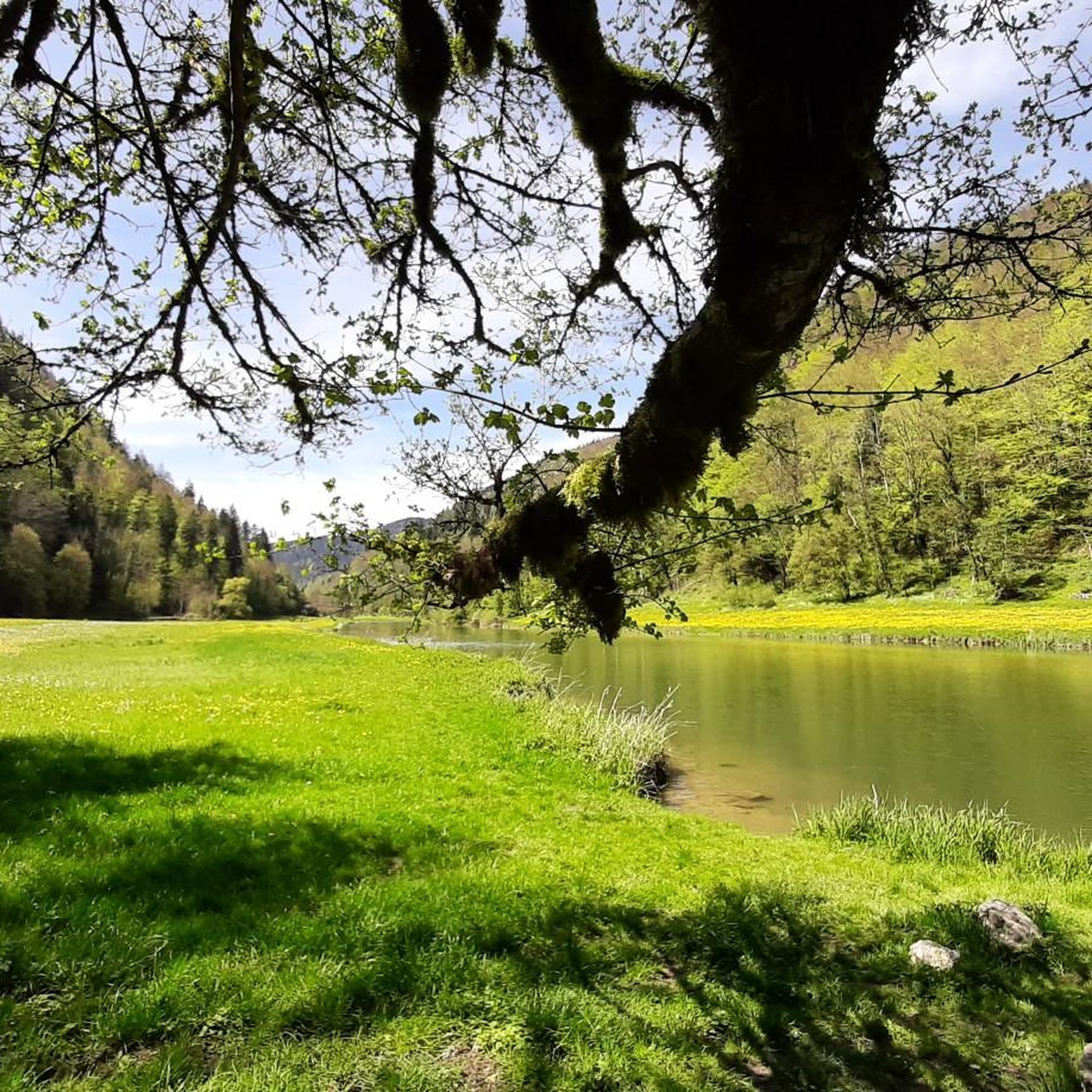
Between the village of Soubey and the Hotel & Campsite of Tariche, there is a connecting path that can be ridden with a gravel bike or a bike with wide tires – the section is not suitable for road bikes as it runs on gravel for a longer stretch. The landscape here is beautiful: you pass a few farms and see the Doubs flowing alongside you. This idyll makes up for every drop of sweat!
0
0

E-bike, considering portage areas just after Biaufond and steep climb to reach St.-Brais
0
0

The back of the Chasseral is always a beautiful view
0
0
The oldest solar laboratory in Switzerland
0
0

The wind turbines are impressive and the view is great
0
0
Frequently Asked Questions
What is the general difficulty level of gravel biking trails around Damprichard?
Gravel biking in Damprichard is primarily suited for moderate to advanced riders. The terrain features challenging ascents and descents, with many routes involving significant elevation gains, often exceeding 600 meters. Out of 25 available routes, 20 are classified as difficult, and 5 as moderate, with no easy options.
Are there any family-friendly gravel bike routes in Damprichard?
The gravel bike trails around Damprichard are generally challenging, with routes primarily designed for moderate to advanced riders. There are no easy routes available, and even the moderate trails involve considerable elevation changes and varied terrain, which might not be suitable for young children or beginners.
What kind of terrain can I expect on Damprichard's gravel bike trails?
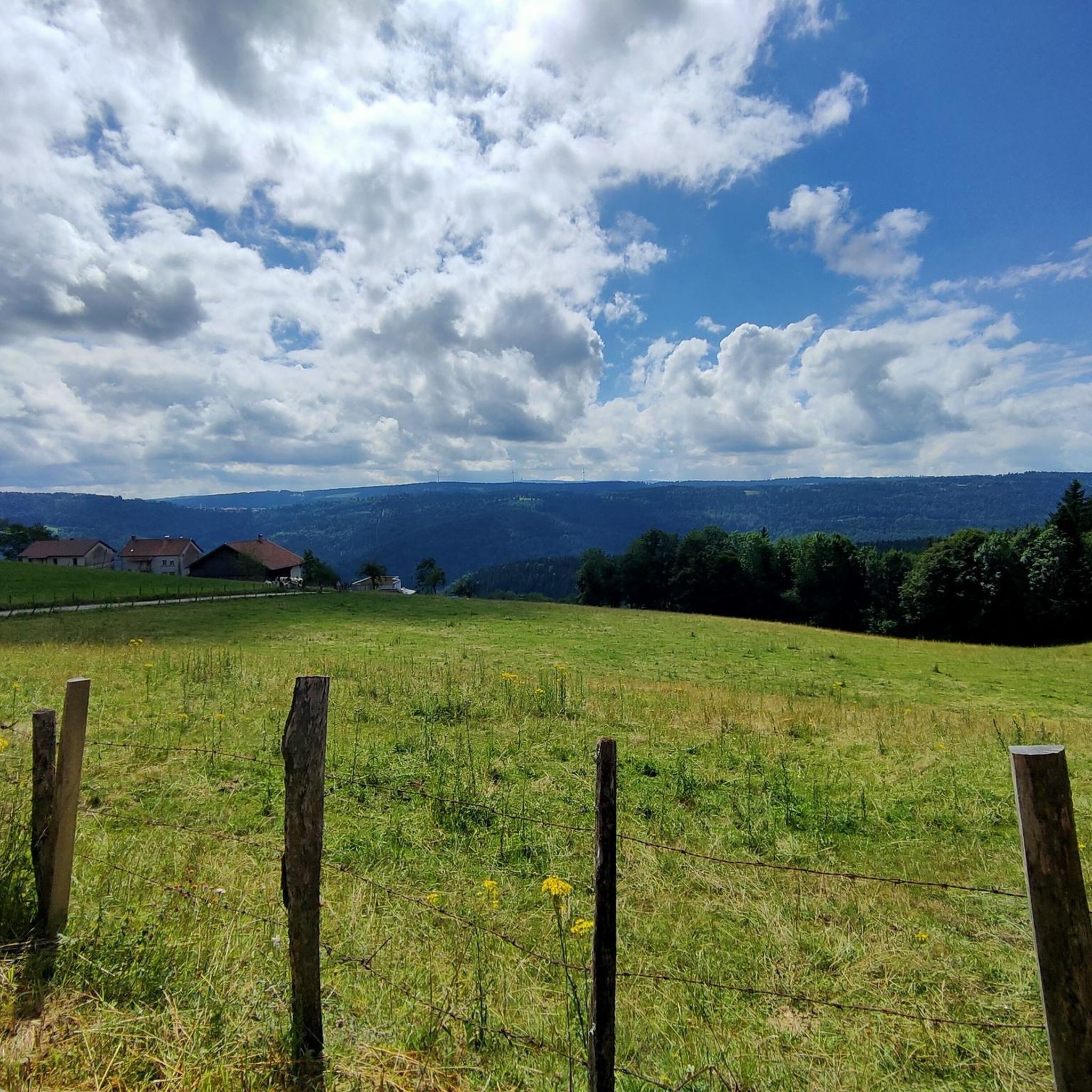
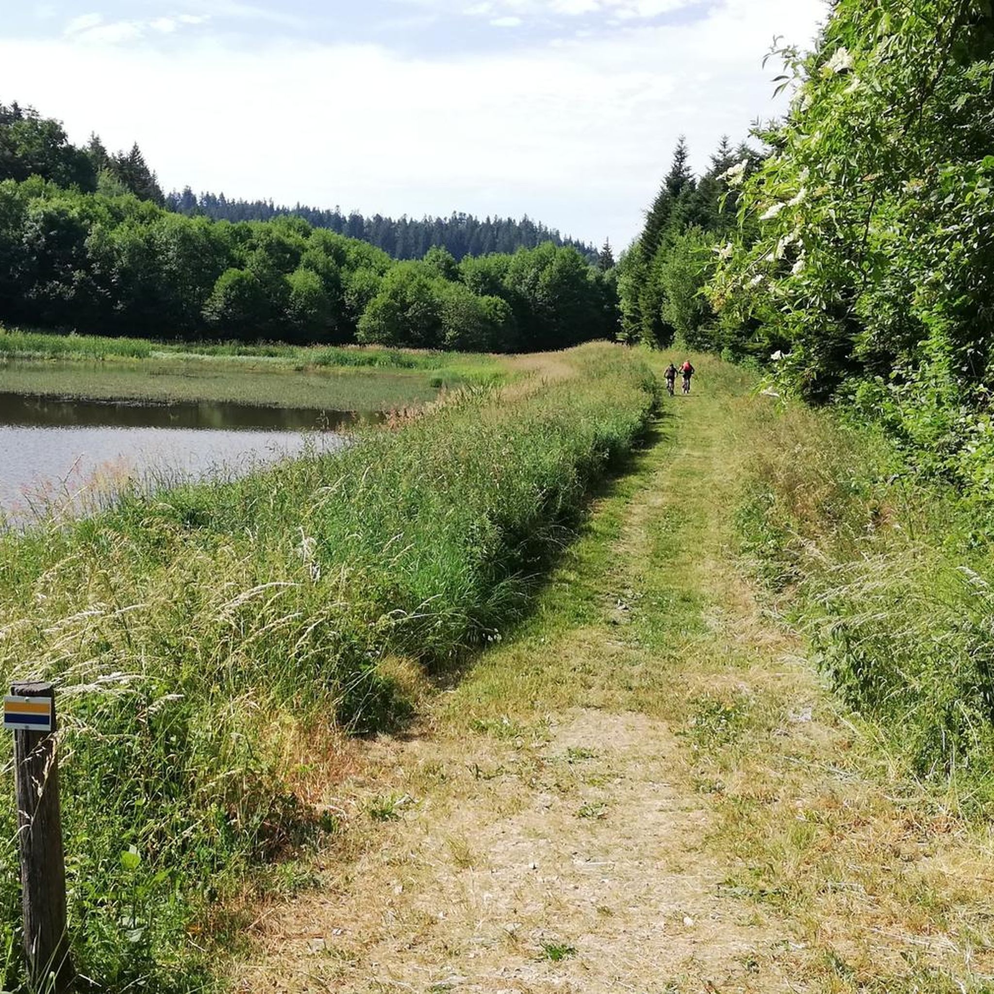
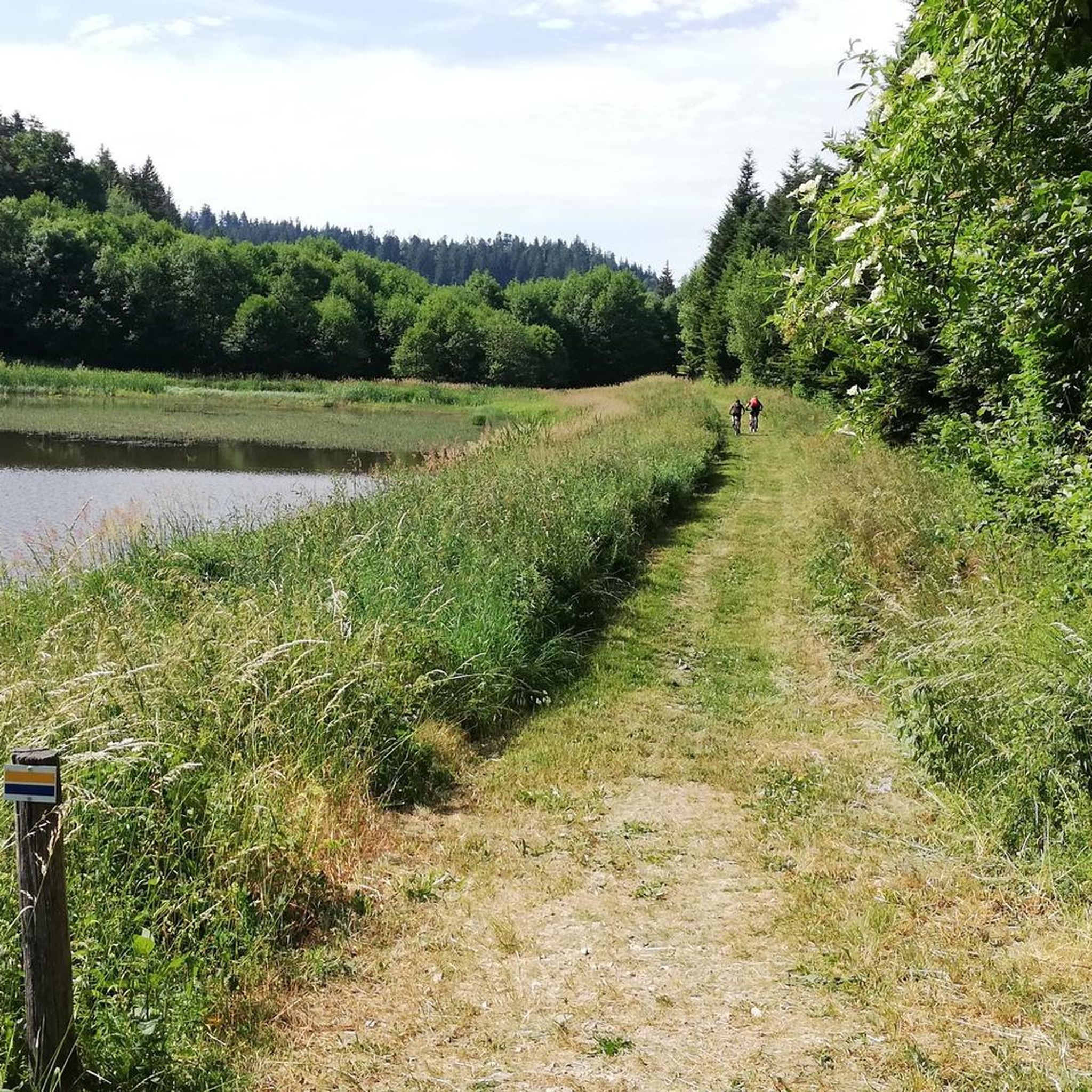
You can expect a diverse landscape characterized by the Doubs river valley. Trails often feature a mix of forested sections and open areas, with significant elevation changes including challenging ascents and descents. The region's natural and historical features are often integrated into the routes.
What are some notable natural attractions or viewpoints along the gravel routes?
Many routes offer scenic views and pass by natural attractions. You can find several viewpoints, such as the Viewpoint of La Ronde and the Doubs or the View of the Étang du Moulin. The region also features beautiful waterfalls like the Bief Waterfall and the Waroly Waterfall.
Are there any circular gravel bike routes available in Damprichard?
Yes, many of the gravel routes in Damprichard are designed as loops. For example, the challenging Doubs – Saint-Hippolyte village loop from Saint-Hippolyte is a 53.2-mile (85.6 km) trail that explores the Doubs river valley and local villages.
What is the best time of year for gravel biking in Damprichard?
The best time for gravel biking in Damprichard is typically during the spring, summer, and early autumn months. During these seasons, the weather is generally more favorable, and the trails are less likely to be affected by snow or ice, which can make the challenging terrain even more difficult.
Can I find long-distance gravel bike routes in the Damprichard area?
Yes, Damprichard offers several longer gravel bike routes. For instance, the Doubs – Saint-Hippolyte village loop from Saint-Hippolyte spans 53.2 miles (85.6 km), and the Doubs Valley – Doubs loop from Le Bémont covers 37.6 miles (60.6 km), both offering substantial distances for experienced riders.
What do other gravel bikers say about the trails in Damprichard?
The gravel biking routes in Damprichard are highly regarded by the komoot community, holding an average rating of 4.6 out of 5 stars from over 9 reviews. Riders often praise the varied terrain, challenging climbs, and the opportunity to explore the region's natural beauty and historical paths.
Are there any routes that follow historical paths or offer cultural insights?
Yes, some routes are designed to explore the historical context of the region. A notable example is On old smugglers' paths, a difficult 24.8-mile (39.9 km) trail that follows historical routes through varied terrain, offering a glimpse into the area's past.
How many gravel bike routes are available in the Damprichard region?
There are 25 gravel bike routes available around Damprichard. These routes cater primarily to moderate and difficult skill levels, offering a range of options for experienced gravel bikers looking for challenging rides through diverse landscapes.
Are there any specific routes that offer views of lakes or ponds?
Yes, several routes in the Damprichard area provide views of local water bodies. You can find highlights such as the Bois du Roy Ponds or the View of Lac des Brenets, which are often accessible or visible from various trails.
What is the typical elevation gain on gravel bike trails in Damprichard?
Gravel bike trails in Damprichard are known for significant elevation changes. Many routes feature over 600 meters of climbing, with some, like the Monkey Rock – Restaurant Le Theusseret on the Doubs loop from Frambouhans, exceeding 1200 meters of ascent, making them quite demanding.
Most popular routes around Damprichard
Most popular attractions around Damprichard

Get inspired with the komoot mobile app


Explore more
Browse the best Gravel rides in other regions.
