The best gravel rides around Dunières
4.1
(7)
46
riders
14
rides
Gravel biking around Dunières offers routes through a landscape characterized by significant elevation changes and varied terrain. The region features rolling hills, dense woodlands, and open countryside, providing a challenging environment for gravel cyclists. Many routes incorporate natural features such as lakes and historical sites, with trails often traversing rural paths and forest tracks. The area's topography ensures a consistent demand for climbing, making it suitable for experienced riders.
Best gravel bike trails around Dunières
- The most popular gravel bike…
Last updated: July 2, 2026
4
riders
46.7km
04:14
1,080m
1,080m
Hard gravel ride. Very good fitness required. Mostly paved surfaces. Suitable for all skill levels.
6
riders
60.5km
04:59
1,220m
1,220m
Hard gravel ride. Very good fitness required. Mostly paved surfaces. Suitable for all skill levels.

Sign up for free
5.0
(1)
11
riders
128km
08:24
1,870m
1,870m
Hard gravel ride. Very good fitness required. Mostly paved surfaces. Suitable for all skill levels.
4.0
(1)
4
riders
28.8km
02:29
590m
590m
Hard gravel ride. Very good fitness required. Mostly paved surfaces. Suitable for all skill levels.
3.5
(2)
4
riders
43.0km
03:18
740m
740m
Hard gravel ride. Very good fitness required. Mostly paved surfaces. Suitable for all skill levels.
Get access to more routes and recommendations from other explorers.
Sign up for free
Already have an account?
Our route recommendations are based on thousands of hikes, rides, and runs completed by other people on komoot.
Start today with a free account
Your next adventure awaits.
Login or Signup

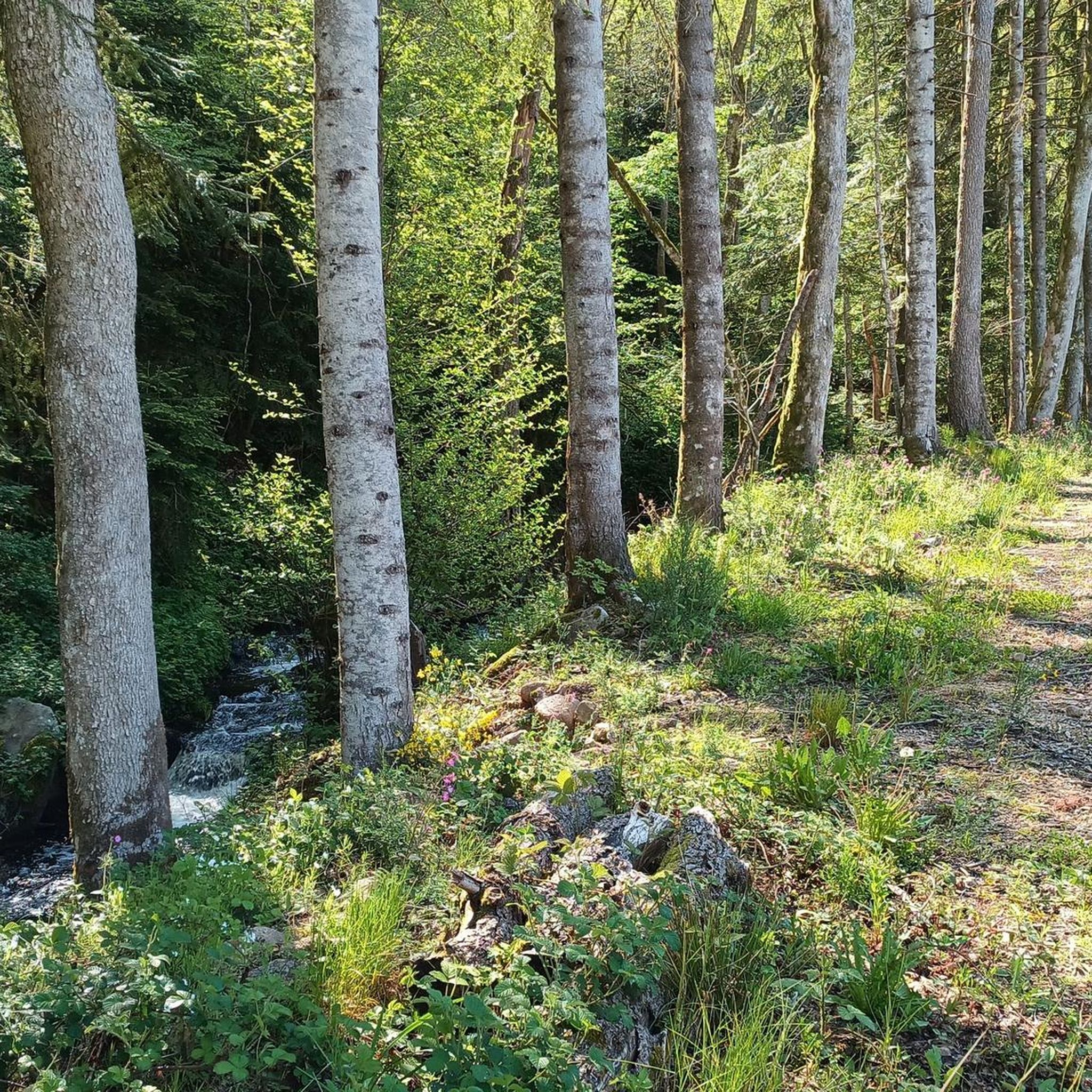
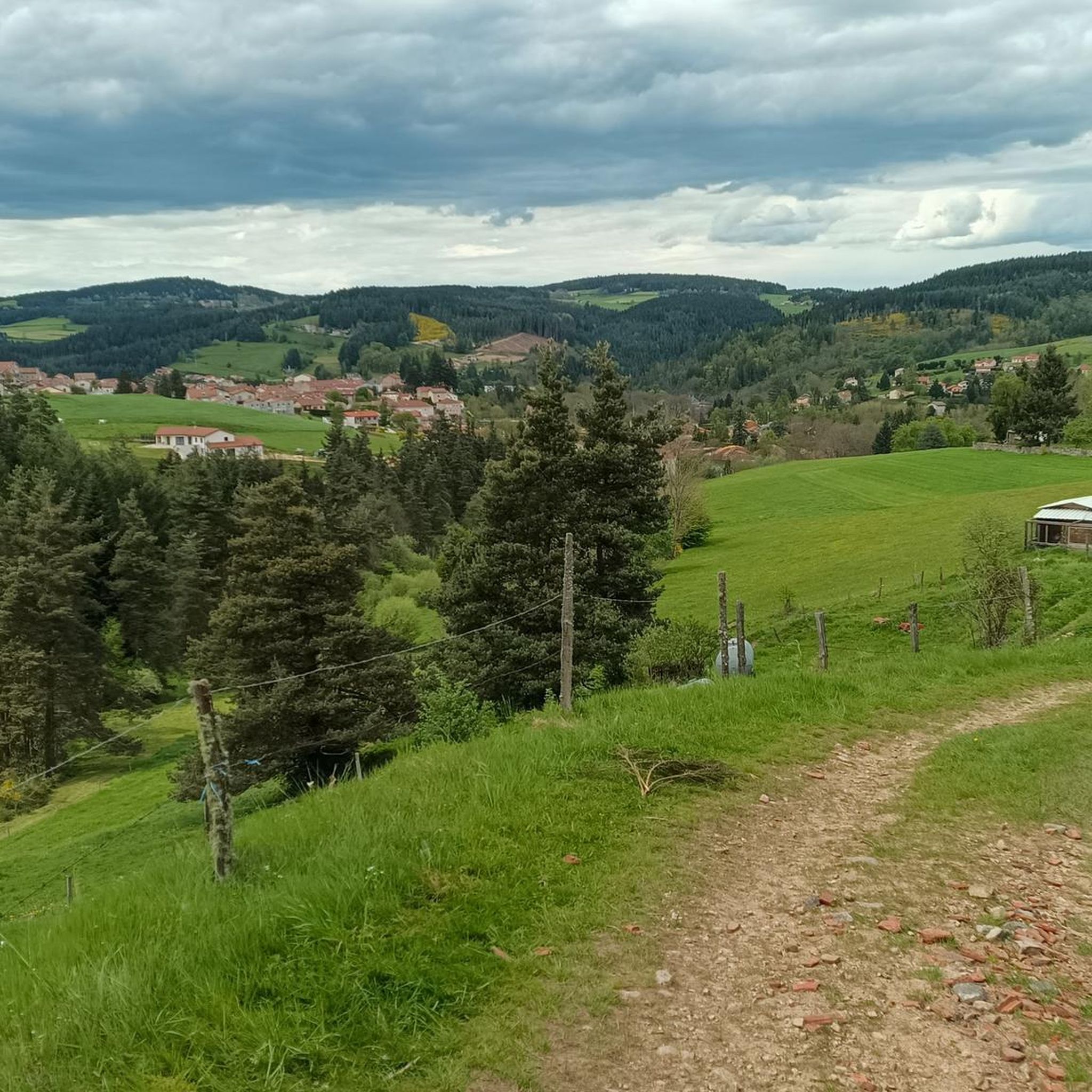
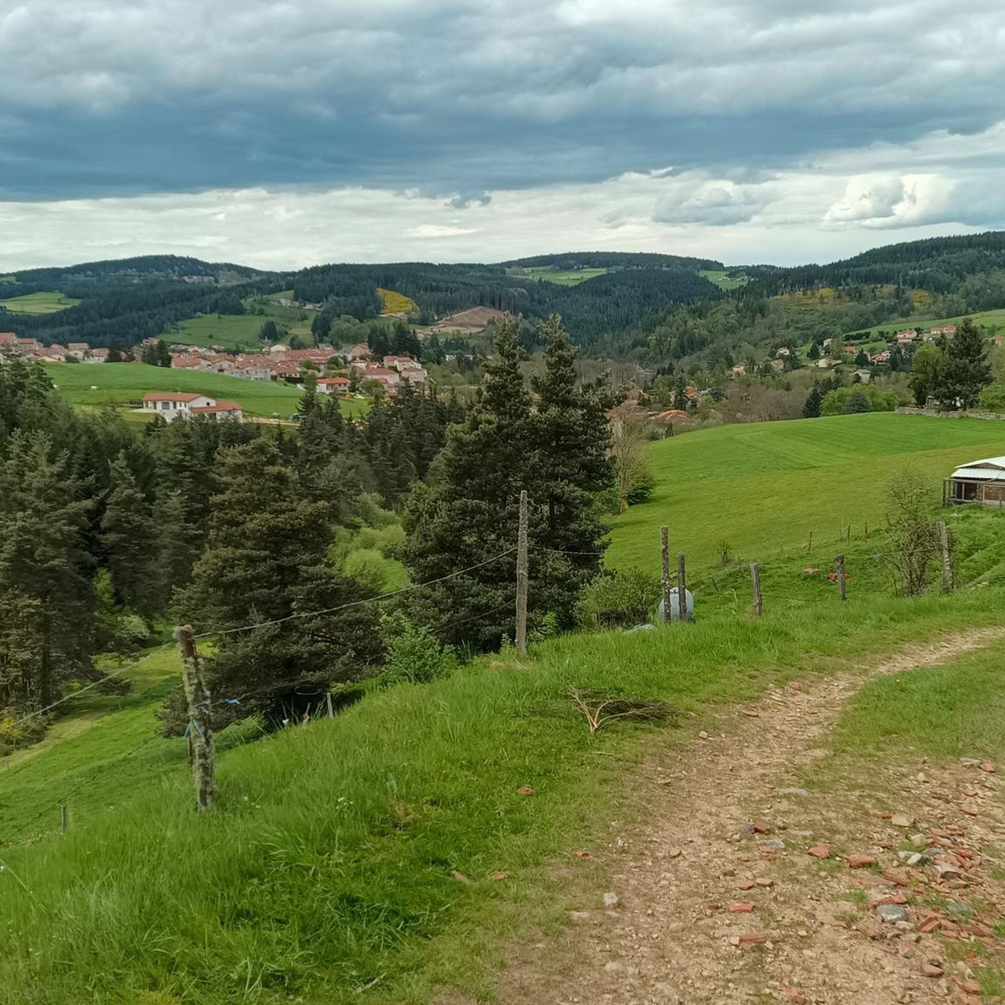
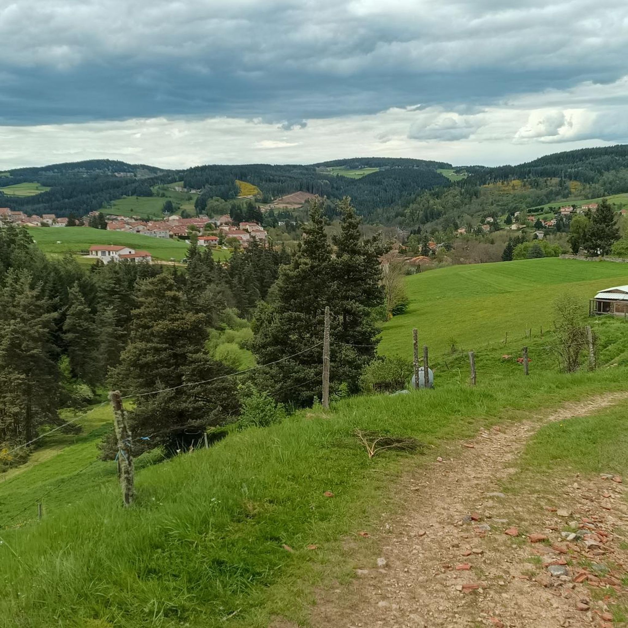
Other adventures around Dunières

Tips from the Community

very good route for the tour of the lake or even for training for a first triathlon 🚴♂️
0
0

Very nice, unfortunately the bridge no longer exists, probably washed away by a flood🫤 That said, you can still cross with a bit of portage and wet feet if the water level isn't too high.
2
0

Beautiful reservoir, the level is low currently because repairs are underway until 2026, but otherwise, it's a little Canada!
0
0


superb greenway the riverway
0
0

This small town in Haut-Lignon offers a gentle and peaceful atmosphere. Located in the heart of a unique natural environment, the town is built on the banks of du Lignon. It is a true haven of peace.
0
0
The pretty medieval village of Saint-Didier-en-Velay has a beautiful market hall (or Grenette) dating from 1880, a 14th century fortified house and more generally beautiful stones which are worth a little detour.
0
0
The Lavalette dam is 507 meters long and 60 meters high. This hydraulic dam was built in 1949 upstream of the Lignon river and retains the waters of Lake Lavalette, known for its water sports center.
0
0
Frequently Asked Questions
How many gravel bike trails are available around Dunières?
There are 13 gravel bike trails available around Dunières, offering a variety of challenging routes through the region's diverse landscape.
What is the general difficulty level of gravel biking in Dunières?
Gravel biking around Dunières is primarily suited for experienced riders, with 12 out of 13 routes rated as difficult. There is one moderate route available for those looking for a slightly less strenuous option.
Are there any circular gravel bike routes in Dunières?
Yes, all the gravel bike routes listed for Dunières are designed as loops, allowing you to start and finish at the same point. For example, the Château de Duby loop from Saint-Victor-Malescours is a popular circular option.
What kind of terrain can I expect on gravel bike trails around Dunières?
The terrain around Dunières is characterized by significant elevation changes, rolling hills, dense woodlands, and open countryside. You'll encounter a mix of forest paths, rural roads, and tracks, ensuring a consistent demand for climbing and varied riding surfaces.
Are there any family-friendly or easy gravel bike trails in Dunières?
The gravel bike trails in Dunières are generally challenging, with most routes rated as difficult. There are no easy routes specifically designed for families or beginners. The one moderate route still involves hilly terrain.
What interesting sights or landmarks can I see along the gravel bike trails?
Many routes incorporate natural features and historical sites. You can explore areas near Lake Lavalette, or pass by the La Papeterie Mill. The route Les Pierres de Gimel – Souvignet bridge loop from Jonzieux explores unique natural rock formations and crosses a notable bridge.
What do other gravel bikers say about the trails in Dunières?
The gravel bike routes in Dunières are highly rated by the komoot community, with an average score of 3.9 stars from over 5 reviews. More than 50 gravel bikers have explored the area, often praising the challenging climbs and scenic rural landscapes.
Are there any longer gravel bike routes for experienced riders?
For experienced riders seeking a longer challenge, the Les Pierres de Gimel – Souvignet bridge loop from Jonzieux is a difficult 35.9-mile (57.9 km) path with over 1100 meters of elevation gain, offering extensive views and varied terrain.
Are there any shorter gravel bike routes for a quick ride?
If you're looking for a shorter, yet still challenging, ride, consider the Jonzieux Church – 2-Hour Scenic Route loop from Jonzieux. This difficult 17.9-mile (28.8 km) trail can often be completed in about 2 hours 50 minutes, leading through rural landscapes and past local landmarks.
What is the best time of year for gravel biking in Dunières?
The best time for gravel biking in Dunières is typically during spring and autumn when temperatures are milder and the natural scenery is vibrant. Summer can also be pleasant, but be prepared for potentially warmer conditions and ensure you carry enough water. Winter riding may be possible but could involve colder temperatures and potentially muddy or icy conditions on some trails due to the varied terrain.
Is there public transport access to the gravel bike trails in Dunières?
While specific public transport links directly to trailheads are not detailed, Dunières itself is a small commune. It's advisable to check local bus schedules or regional train services to nearby towns and plan your route accordingly, as most trail starts are accessible by car.
Where can I find parking for gravel biking in Dunières?
Parking is generally available in the villages and towns where the routes begin, such as Saint-Victor-Malescours, Jonzieux, or Marlhes. Look for designated public parking areas in these locations, often near town centers or local amenities.
Most popular attractions around Dunières

Get inspired with the komoot mobile app


Explore more
Browse the best Gravel rides in other regions.
