The best gravel rides around Avrieux
4.8
(20)
326
riders
11
rides
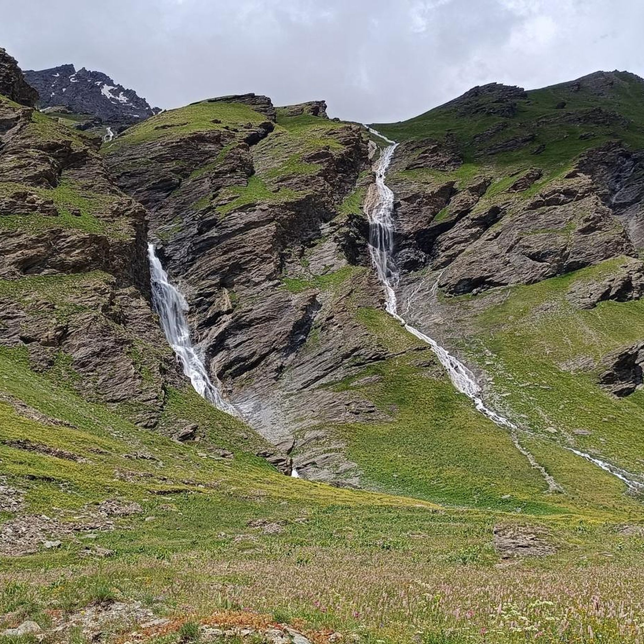
Gravel biking around Avrieux offers access to the diverse terrain of the Maurienne Valley in Savoie, France. This region is characterized by its Alpine landscapes, historical fortifications, and a network of old military roads. Riders can explore car-free paths, grass tracks, and trails, often within or bordering the Vanoise National Park. The area features long, rolling valleys and varied elevations, providing a robust environment for gravel cycling.
Best gravel bike trails around Avrieux
- The most popular gravel bike trail is Colle del Sommeiller, a 35.3 miles (56.8 km) difficult trail that takes 6 hours 29 minutes to complete. This route ascends through high alpine terrain, characteristic of the region's challenging mountain passes.
- Another top favourite among local gravel bikers is Forte Föens – Fort Jafferau loop from Bardonecchia, a difficult 22.8 miles (36.7 km) path. This route navigates through historical areas, offering views of abandoned forts and varied mountain landscapes.
- Local gravel bikers also love the Rochemolles Lake and Dam – Rochemolles Dam loop from Campo Smith, a 25.3 miles (40.7 km) trail leading through scenic alpine valleys and past water features, often completed in about 4 hours 17 minutes.
- Gravel biking around Avrieux is defined by high alpine landscapes, historical military roads, and access to the Vanoise National Park. The network offers options for experienced riders seeking challenging climbs and varied terrain.
- The routes in Avrieux are highly rated by the komoot community with an average score of 4.9 stars from more than 20 reviews. More than 240 gravel bikers have used komoot to explore Avrieux's varied terrain.
Last updated: August 13, 2026
5.0
(5)
54
riders
56.8km
06:29
1,810m
1,810m
Hard gravel ride. Very good fitness required. You may need to push your bike for some segments of this route.
5.0
(2)
20
riders
36.7km
03:32
1,620m
1,620m
Hard gravel ride. Very good fitness required. Mostly paved surfaces. Suitable for all skill levels.

Sign up for free
5.0
(2)
30
riders
34.4km
02:45
840m
840m
Hard gravel ride. Very good fitness required. Mostly paved surfaces. Suitable for all skill levels.
4.7
(3)
45
riders
40.7km
03:16
1,230m
1,230m
Hard gravel ride. Very good fitness required. Mostly paved surfaces. Suitable for all skill levels.
4.0
(1)
27
riders
88.1km
06:38
2,280m
2,280m
Hard gravel ride. Very good fitness required. Mostly paved surfaces. Suitable for all skill levels.
Get access to more routes and recommendations from other explorers.
Sign up for free
Already have an account?
Our route recommendations are based on thousands of hikes, rides, and runs completed by other people on komoot.
Start today with a free account
Your next adventure awaits.
Login or Signup
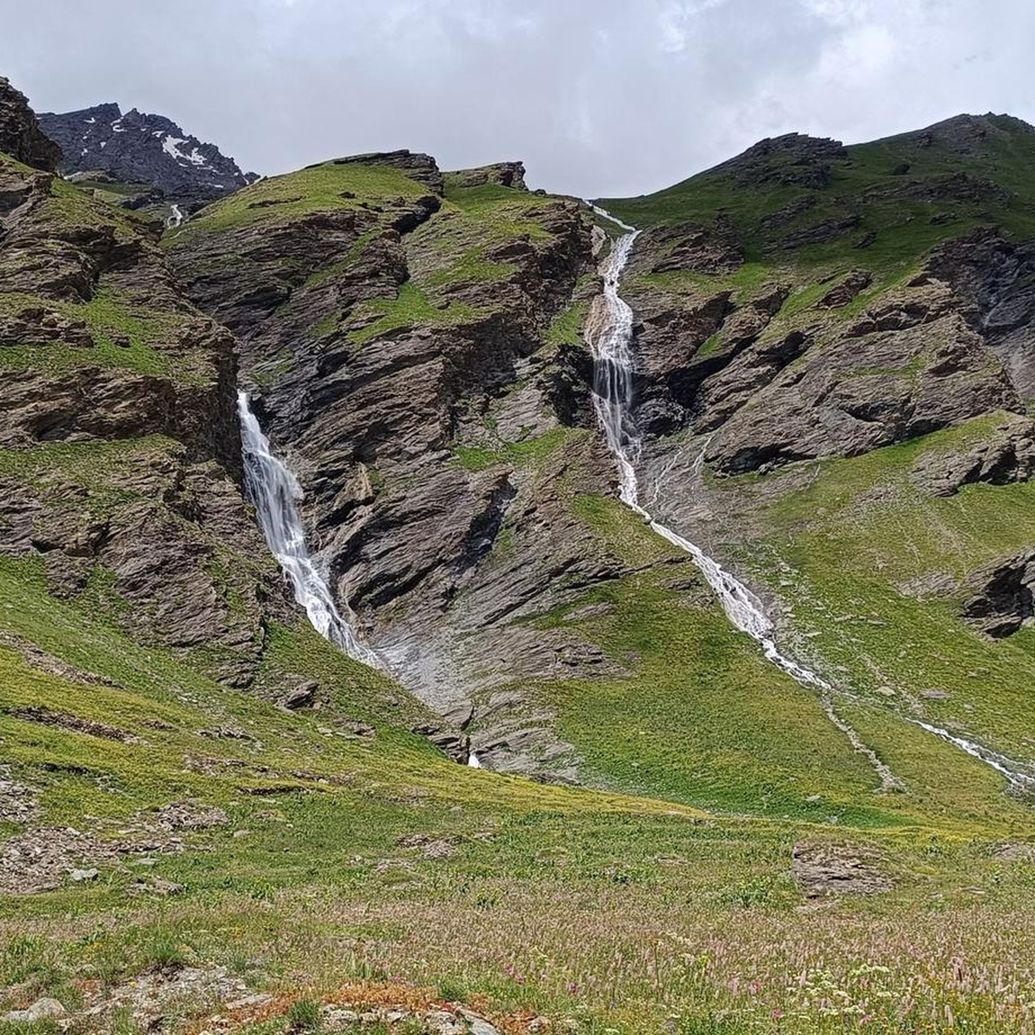
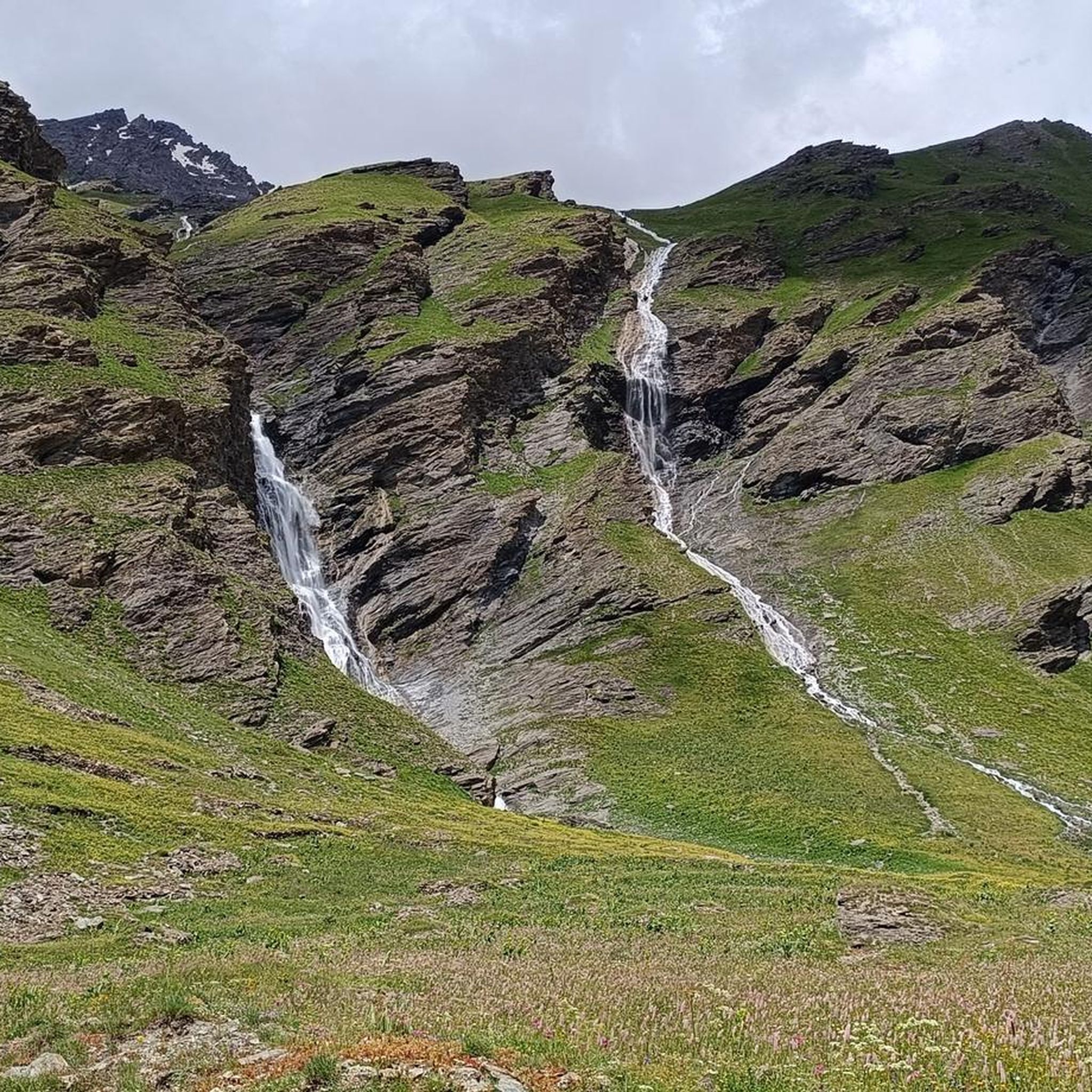
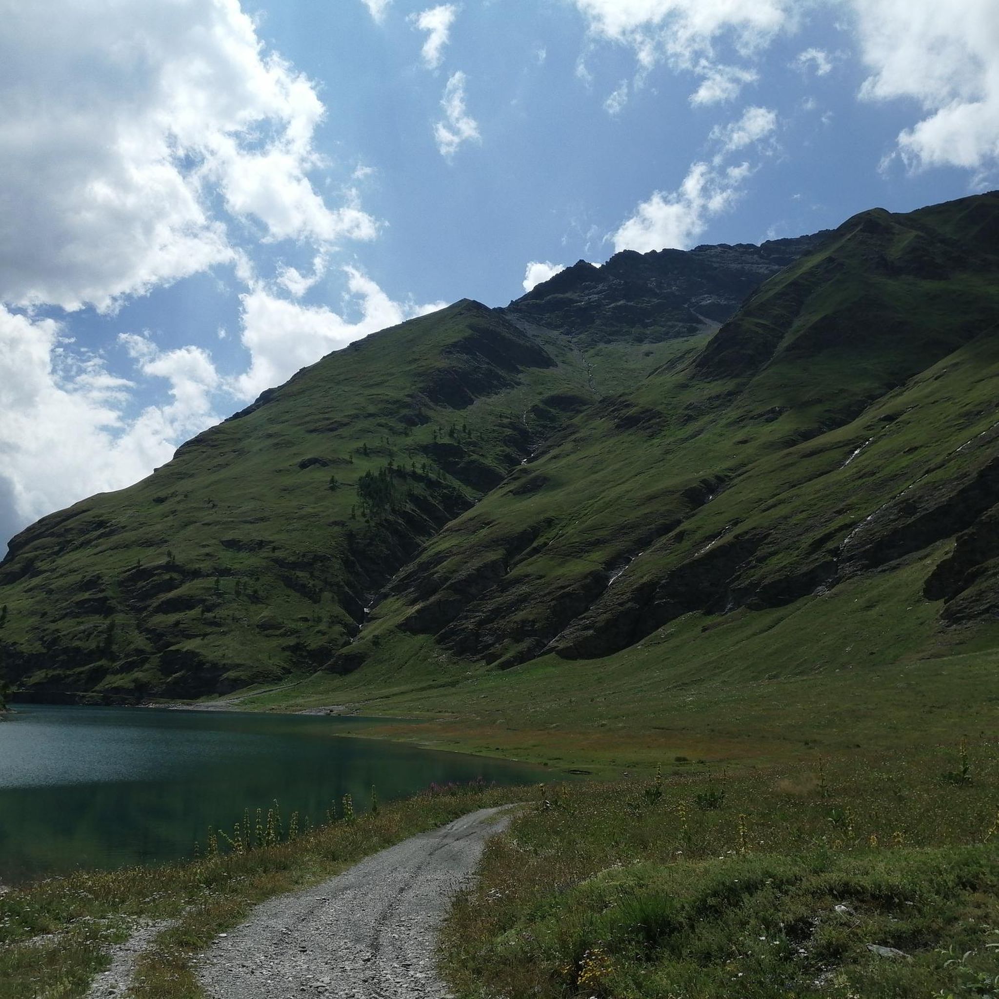
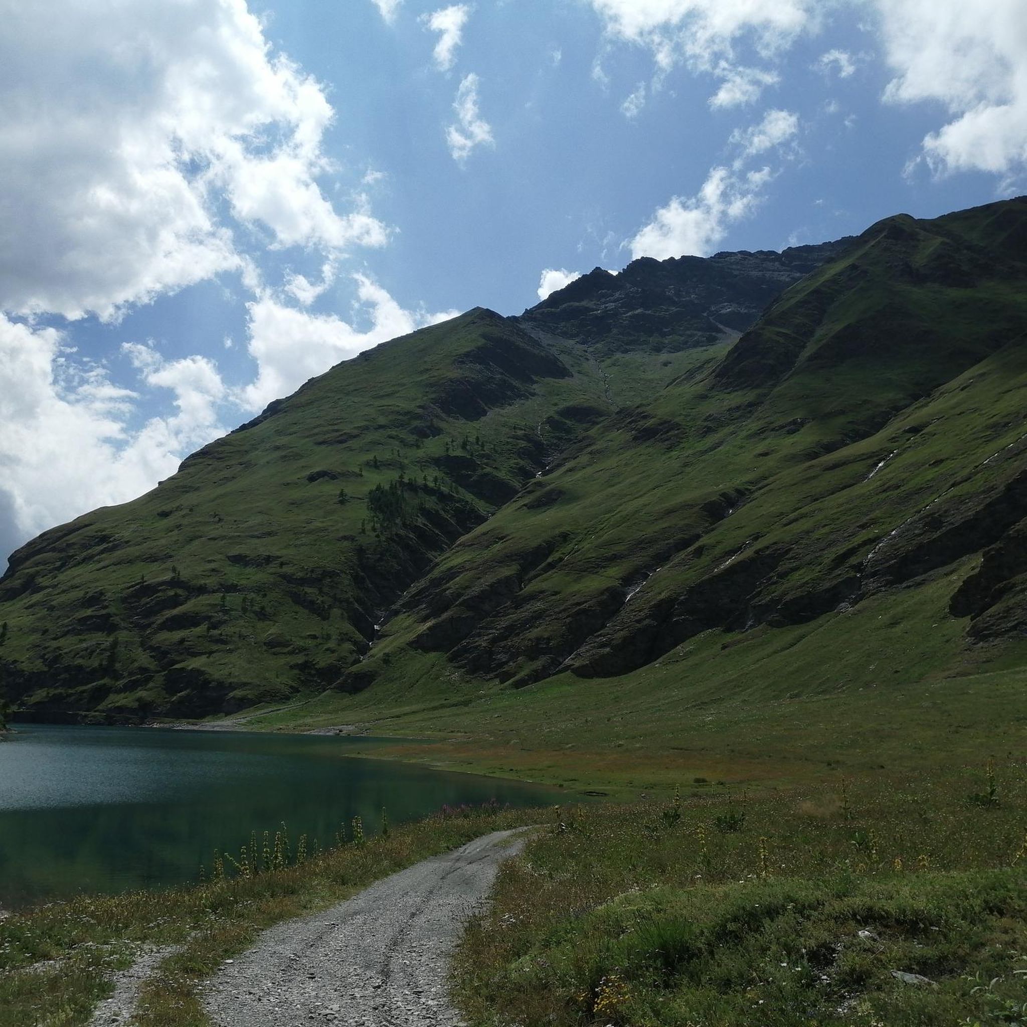

Tips from the Community

A village from a bygone era.
0
0
In the midst of the primeval landscape, time seems to stand still.
0
0
The highest legally passable point in Europe.
0
0
The highest legally accessible point in Europe.
0
0
Incredible view through the valley.
0
0
Currently completely empty, you could walk through.
0
0

The fortification was erected between 1885 and 1894, with the aim of monitoring the outlet of the Frejus railway tunnel in anticipation of a possible French attack. During the First World War, its artillery was requisitioned and moved to the Austro-Hungarian front, while on the eve of the Second World War, it was incorporated into the fortified system of the Alpine Wall. It was then requisitioned by the Germans and completely dismantled after the end of hostilities. It remained abandoned for a long time, until, starting in 1995, a recovery project was initiated, still partly ongoing, equipping the structure with a museum and a guided tour. The road that reaches it from the valley floor is yet another demonstration of the construction skills of military engineering: the dirt road gains altitude with gentle hairpin bends, bordered by dry stone walls that are still perfectly in place. Near Grange Bersac, it passes a charming little church, shortly after the route leaves the woods and ends in wide meadows near another beautiful little church, dedicated to St. Anne. From here, the dirt road splits: straight ahead leads to Pian del Sole and the Bardonecchia MTB circuit, while climbing towards Colomion, turning right, a final short climb reaches the fort. The view of Guglia Rossa and the Re Magi (Three Wise Men) group, which dominate the Bardonecchia basin, is magnificent.
0
0

A very beautiful stretch to cycle which leads from the basins to the road to the Scarfiotti refuge and then to the Sommeiller pass.
1
0
Frequently Asked Questions
What kind of terrain can I expect on gravel bike trails around Avrieux?
The gravel bike trails around Avrieux offer a diverse mix of terrain, characteristic of the Maurienne Valley. You'll encounter car-free paths, grass tracks, and trails, often following historic military roads and abandoned forts. The region features long, rolling valleys and significant elevation changes, providing a robust environment for gravel cycling. Expect high alpine landscapes and varied surfaces suitable for gravel bikes.
Are there any challenging gravel bike routes in the Avrieux area?
Yes, the gravel biking around Avrieux is primarily characterized by challenging routes. All 9 routes listed in this guide are rated as difficult, featuring significant elevation gains and high alpine terrain. For example, the Colle del Sommeiller route covers 35.3 miles (56.8 km) with over 1800 meters of ascent, leading through demanding mountain passes.
What historical sites or landmarks can I explore while gravel biking near Avrieux?
The region is rich in fortified heritage. Many routes pass by or offer views of the Esseillon Barrier of forts, including 19th-century military structures like Forte Föens and Fort Jafferau. The Forte Föens – Fort Jafferau loop from Bardonecchia is a great option to navigate through these historical areas.
Are there any scenic viewpoints or natural attractions along the gravel trails?
Absolutely. The trails often provide breathtaking views of the Vanoise glaciers and surrounding peaks, extending towards the Italian border. You can also discover natural features like Rochemolles Lake and Dam or Lake Savine. The Rochemolles Lake and Dam – Rochemolles Dam loop from Campo Smith specifically leads past these beautiful water features.
What is the best time of year for gravel biking in Avrieux?
Avrieux benefits from a Mediterranean mountain climate, often referred to as 'small Nice,' making it suitable for outdoor activities for much of the year. However, for gravel biking, the best months are typically from late spring to early autumn (May to October) when the high alpine passes are clear of snow and the weather is most stable. Winter conditions can make many routes inaccessible or require specialized gear.
Are there any circular gravel bike routes available?
Yes, several routes in the area are designed as loops, allowing you to start and finish in the same location. Examples include the Forte Föens – Fort Jafferau loop from Bardonecchia and the Rochemolles Lake and Dam – Rochemolles Dam loop from Campo Smith, which offer varied mountain landscapes and scenic views.
Can I bring my dog on the gravel bike trails in Avrieux?
Avrieux is located at the gates of the Vanoise National Park. While many areas within the park are accessible, specific regulations regarding dogs apply to protect wildlife. It's crucial to check the current rules for the Vanoise National Park regarding dogs on trails, especially in protected zones, as they may need to be kept on a leash or might be restricted in certain areas.
What do other gravel bikers say about the trails in Avrieux?
The gravel biking routes around Avrieux are highly rated by the komoot community, with an average score of 4.9 stars from over 20 reviews. More than 240 gravel bikers have used komoot to explore the varied terrain, often praising the challenging climbs, stunning high alpine landscapes, and the unique experience of riding along historical military roads.
Are there options for less crowded gravel trails around Avrieux?
While the region is popular, the extensive network of old military roads and trails, particularly those leading to abandoned forts or higher alpine areas, can offer opportunities for more secluded rides. Exploring routes like the Clarée Valley – La Clarée River loop from Bardonecchia, which ventures into scenic alpine valleys, might provide a more tranquil experience away from the most frequented spots.
Is there parking available for cyclists in Avrieux?
Avrieux and the surrounding towns in the Maurienne Valley generally offer parking facilities. For specific routes, it's advisable to check the starting points on komoot for details on nearby parking options. Many trailheads, especially those near villages or popular attractions, will have designated parking areas suitable for cyclists.
Are there any beginner-friendly gravel biking options in Avrieux?
The gravel bike trails listed in this guide for Avrieux are all rated as difficult, featuring significant elevation and challenging terrain. While the region is excellent for experienced riders, true beginner-friendly gravel routes might be limited within the immediate high-alpine areas covered here. It's recommended that beginners look for flatter, less technical paths in the valley floor or consider other regions if seeking easier rides.
What kind of wildlife might I encounter in the Vanoise National Park area?
As Avrieux is at the gates of France's first national park, the Vanoise, you have a good chance of observing diverse wildlife. Marmots are a common sight, and the park is also home to ibex, chamois, and various bird species. Remember to maintain a respectful distance and avoid disturbing the animals in their natural habitat.
Most popular routes around Avrieux
Most popular attractions around Avrieux

Get inspired with the komoot mobile app


Explore more
Browse the best Gravel rides in other regions.
