The best gravel rides around Albiez-Montrond
4.7
(16)
294
riders
19
rides
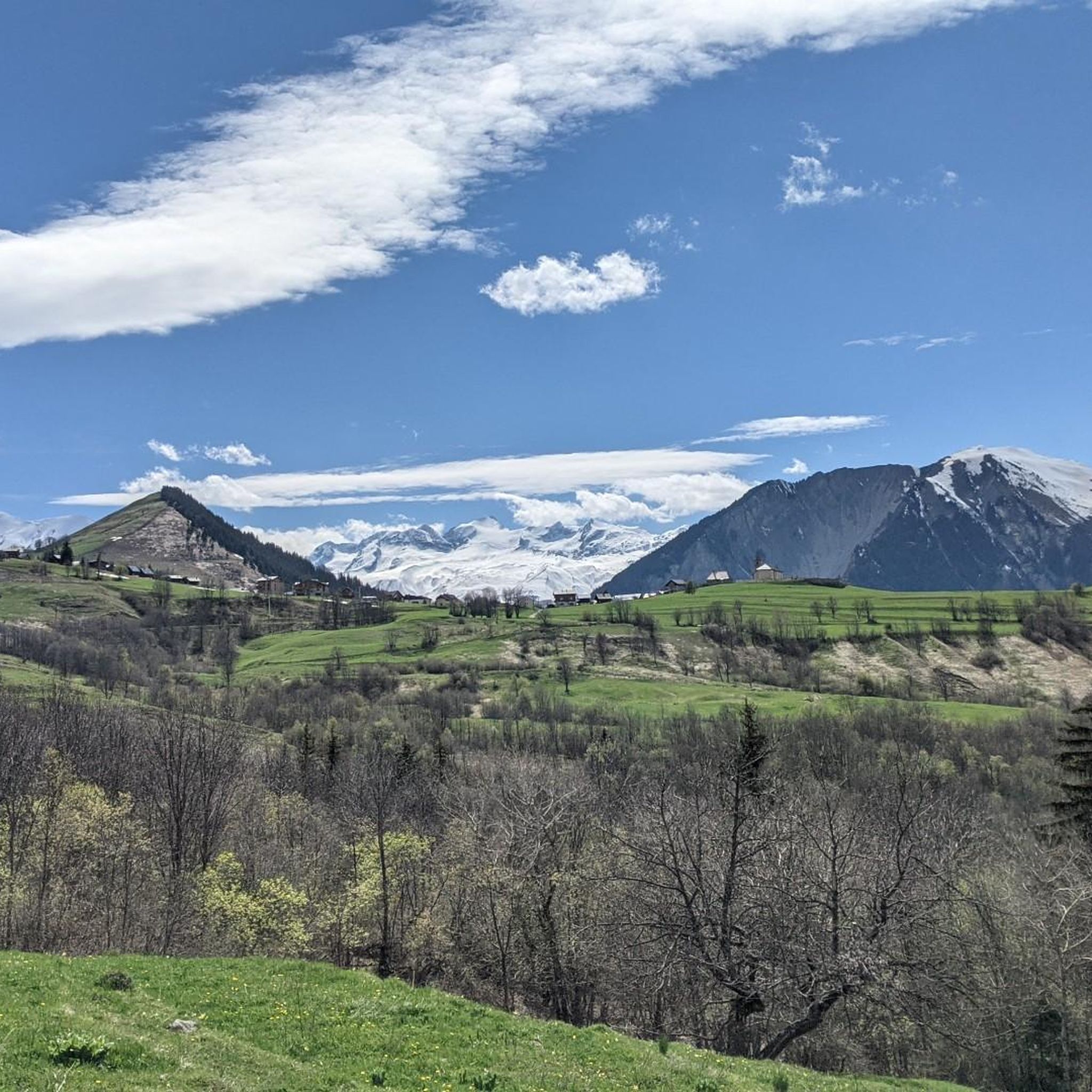
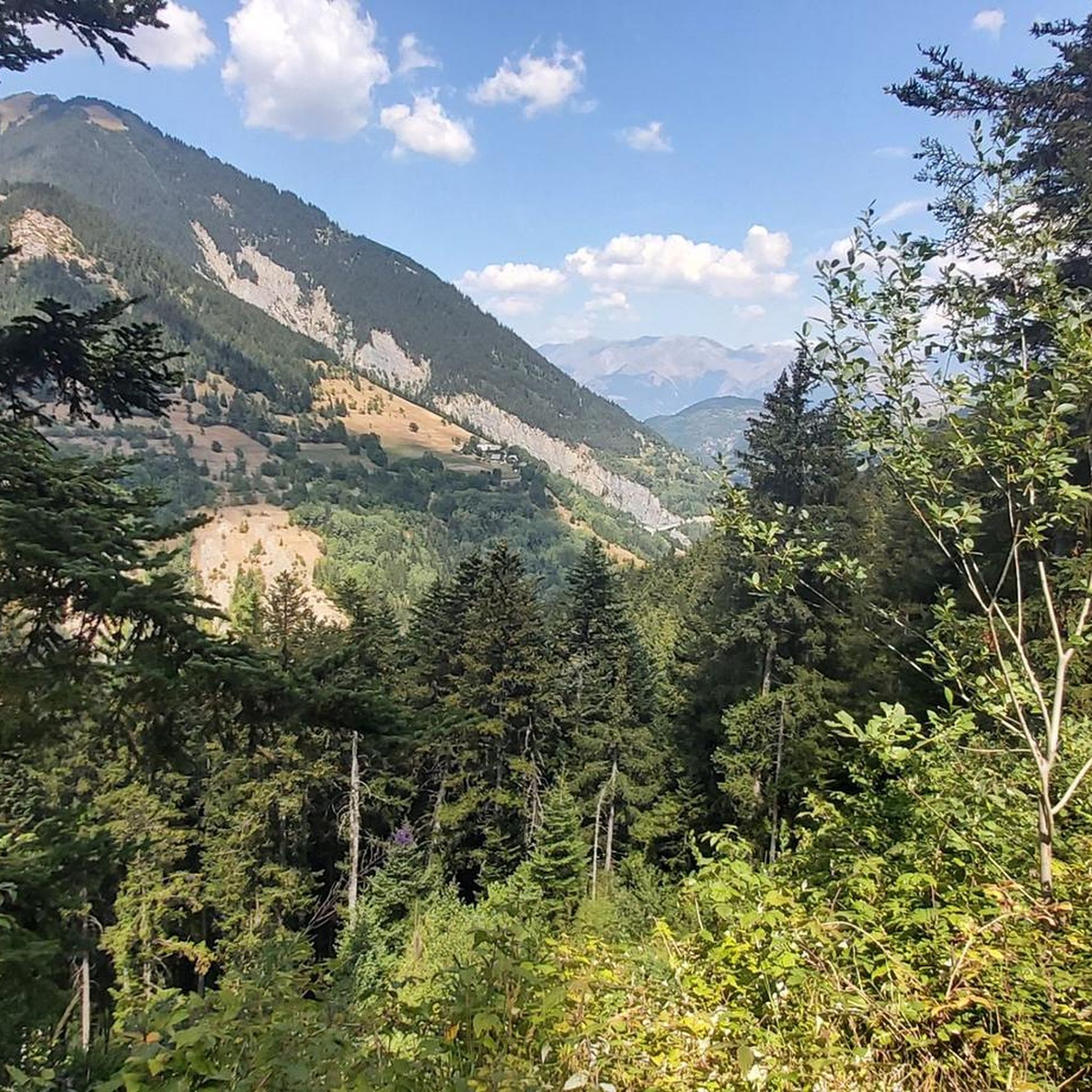
Gravel biking around Albiez-Montrond is situated in a mountainous region, characterized by significant elevation changes and challenging ascents. The terrain primarily consists of alpine roads and tracks, often leading over high mountain passes. This area offers routes that navigate through valleys and provide extensive views of the surrounding peaks, including the Aiguilles d'Arves. Gravel biking here involves sustained climbing and descents on varied surfaces, offering a mix of gravel paths, tracks, singletrack, and roads.
Best gravel bike trails around Albiez-Montrond
…Last updated: October 6, 2026
27
riders
65.0km
05:36
1,940m
1,940m
Hard gravel ride. Very good fitness required. Mostly paved surfaces. Suitable for all skill levels.
5.0
(3)
62
riders
68.4km
05:29
2,130m
2,130m
Hard gravel ride. Very good fitness required. Mostly paved surfaces. Suitable for all skill levels.

4.3
(3)
33
riders
33.0km
02:53
1,150m
1,150m
Hard gravel ride. Very good fitness required. Mostly paved surfaces. Suitable for all skill levels.
32
riders
93.7km
07:45
2,900m
2,900m
Hard gravel ride. Very good fitness required. Mostly paved surfaces. Suitable for all skill levels.
3
riders
19.3km
02:06
760m
770m
Hard gravel ride. Very good fitness required. Mostly paved surfaces. Suitable for all skill levels.
Get access to more routes and recommendations from other explorers.
Already have an account?
Our route recommendations are based on thousands of hikes, rides, and runs completed by other people on komoot.
Start today with a free account
Your next adventure awaits.
Tips from the Community

Used this route to descend after climbing Alpe d'Huez on the main road. Really nice views and saw maybe one car the whole way down. Recommended!
0
0

Beautiful photo option into the valley
0
0

A splendid natural balcony where you can stop to admire the landscape. The view opens up to the surrounding mountains and valleys: a perfect place for a break, some photos, and to silently enjoy the beauty of the trail. 🚴♂️🏔️📸
9
0

super mega pretty here
0
0

https://en.wikipedia.org/wiki/Saint-Saturnin_Church_of_Saint-Sorlin-d%27Arves
0
0

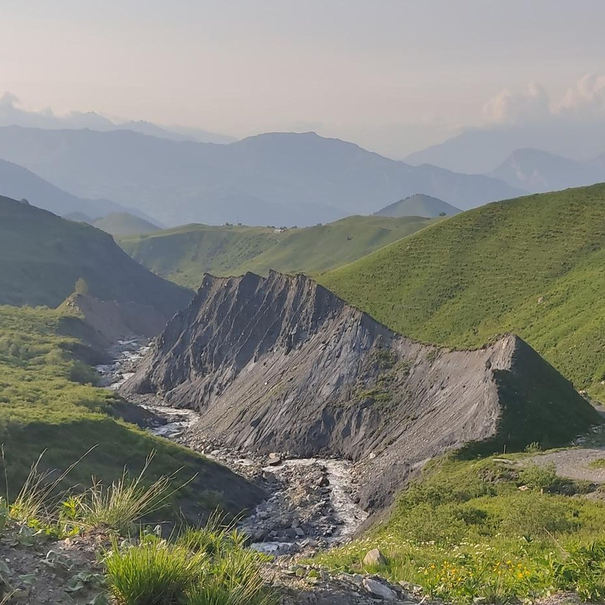
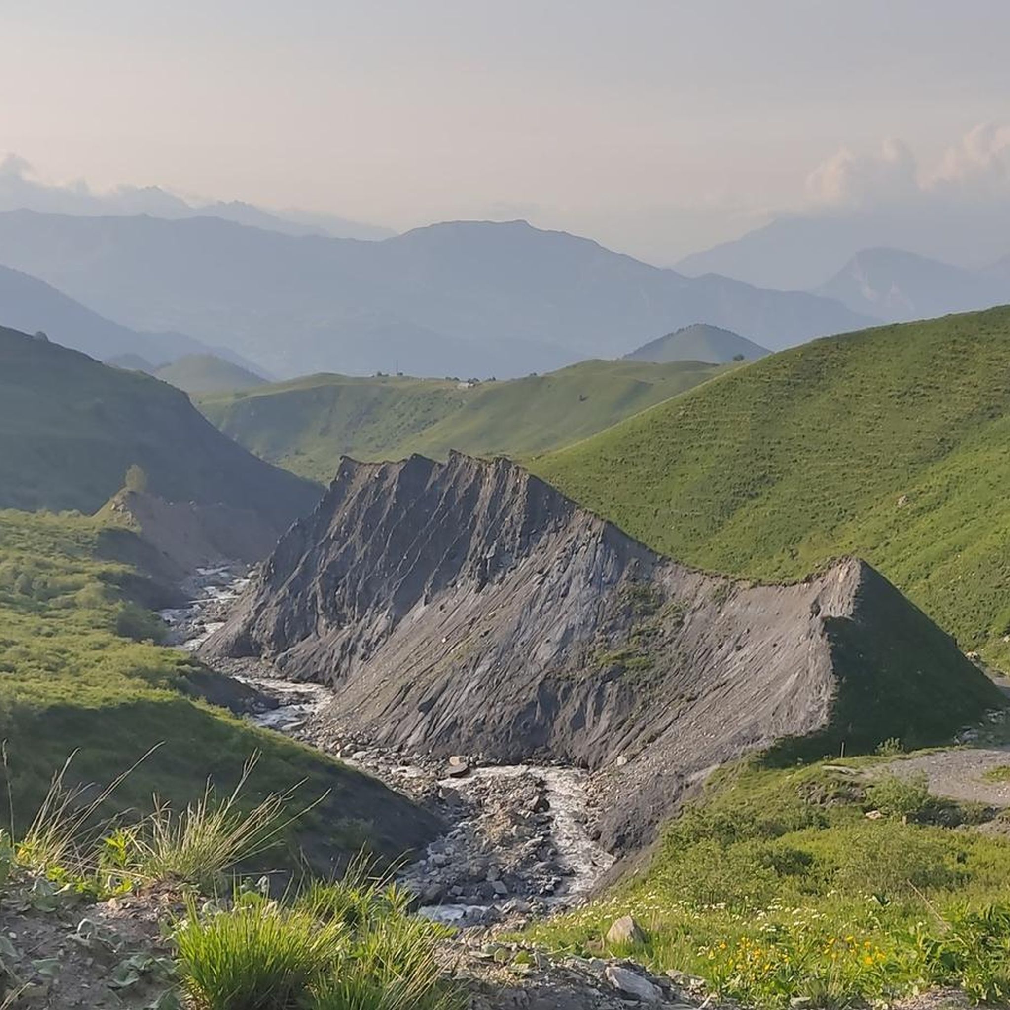
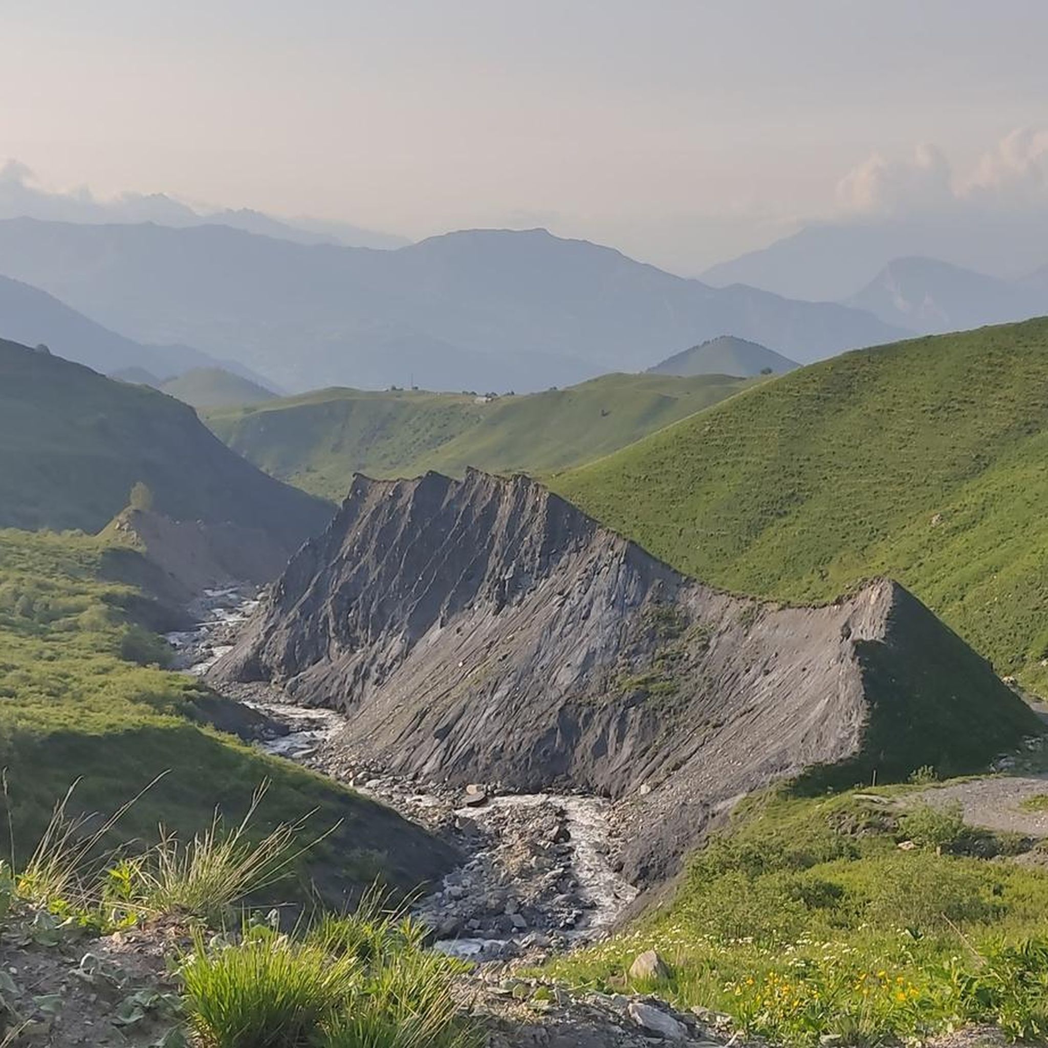
Narrow road, great views. Relatively little traffic.
2
0
Narrow road by the rock, great views.
2
0
Narrow road by the rock, great views.
2
0
Frequently Asked Questions
What is the general difficulty level of gravel biking in Albiez-Montrond?
The gravel bike trails around Albiez-Montrond are predominantly challenging, characterized by significant elevation changes and sustained climbs over high mountain passes. All 22 routes in the area are rated as difficult, making it an ideal destination for experienced gravel bikers seeking a demanding alpine experience.
Are there any easy or family-friendly gravel biking routes in Albiez-Montrond?
Due to the mountainous terrain and substantial elevation gains, there are no easy or family-friendly gravel biking routes specifically designed for beginners or young children in Albiez-Montrond. The area caters primarily to advanced riders looking for a strenuous workout.
What kind of terrain can I expect on the gravel bike trails?
You can expect alpine roads and tracks, often leading over high mountain passes. The terrain involves varied surfaces and significant ascents and descents, providing extensive views of the surrounding peaks and valleys.
What are the typical distances and elevation gains for gravel bike trails in this region?
The gravel bike trails in Albiez-Montrond typically range from approximately 25 km to over 60 km in length. You should prepare for substantial elevation gains, with routes often featuring over 900 meters and sometimes exceeding 1900 meters of climbing.
What is the best season for gravel biking in Albiez-Montrond?
The best season for gravel biking in Albiez-Montrond is generally from late spring to early autumn (June to September) when the high mountain passes are clear of snow and weather conditions are most stable. Always check local weather forecasts before heading out, as mountain weather can change rapidly.
Are there any notable landmarks or scenic points along the gravel routes?
Yes, many routes offer stunning alpine scenery. You might encounter famous mountain passes like Col du Galibier and Col du Télégraphe, or experience the unique Montvernier Hairpins. These passes provide panoramic views of the surrounding peaks and valleys.
Are there any loop routes available for gravel biking?
Yes, many of the gravel bike trails in Albiez-Montrond are designed as loops. For example, you can explore the challenging Col du Galibier – Col du Galibier loop from Moulin Benjamin or the Col du Télégraphe – Saint-Michel-de-Maurienne loop from Valloire, both offering significant climbs and rewarding views.
What do other gravel bikers enjoy most about the trails in Albiez-Montrond?
The area is highly rated by the komoot community, with an average score of 4.5 stars. Reviewers often praise the challenging nature of the routes, the breathtaking panoramic alpine scenery, and the satisfaction of conquering high mountain passes like the Col du Galibier.
Where can I find places to rest or refuel along the trails?
Given the mountainous and sometimes remote nature of the trails, it's advisable to carry sufficient water and snacks. However, some routes may pass near villages or mountain huts. For example, you might find facilities near highlights like the Pic du Mas de la Grave Refuge or the Refuge des Aiguilles d'Arves.
Are there less crowded gravel biking options in Albiez-Montrond?
While the main passes can be popular, exploring routes like the Maison de Joseph Opinel – Mollard Pass loop from Saint-Jean-de-Maurienne - Vallée de l'Arvan might offer a slightly quieter experience. Generally, the region's challenging nature naturally filters for more dedicated riders, so even popular routes might not feel overly crowded compared to easier trails elsewhere.
What are some good starting points or access points for these gravel trails?
Many routes start from nearby towns and villages. For instance, you can begin a challenging loop like the Col de Chaussy – Col du Chaussy loop from Saint-Jean-de-Maurienne - Vallée de l'Arvan, or the Opinel Square... – Col de l'Arlard Direction Sign loop from Albiez-le-Vieux. Parking availability will vary by starting location.
Most popular routes around Albiez-Montrond
Most popular attractions around Albiez-Montrond

Get inspired with the komoot mobile app


Explore more
Browse the best Gravel rides in other regions.
