The best gravel rides around Saint-Bonnet-Près-Orcival
4.7
(30)
179
riders
31
rides
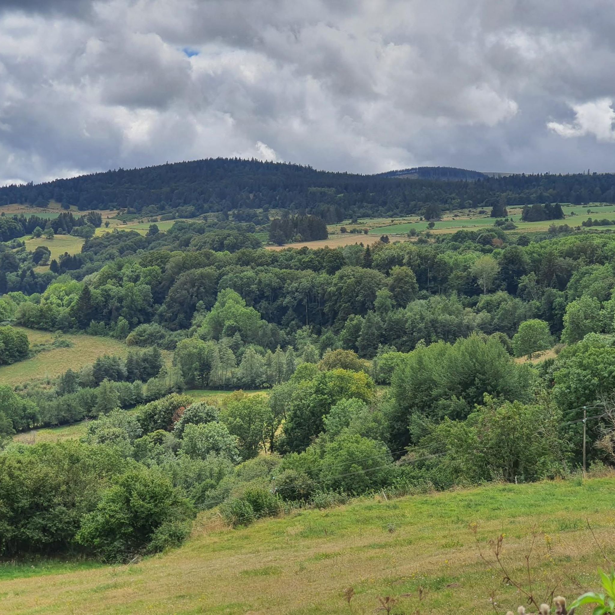
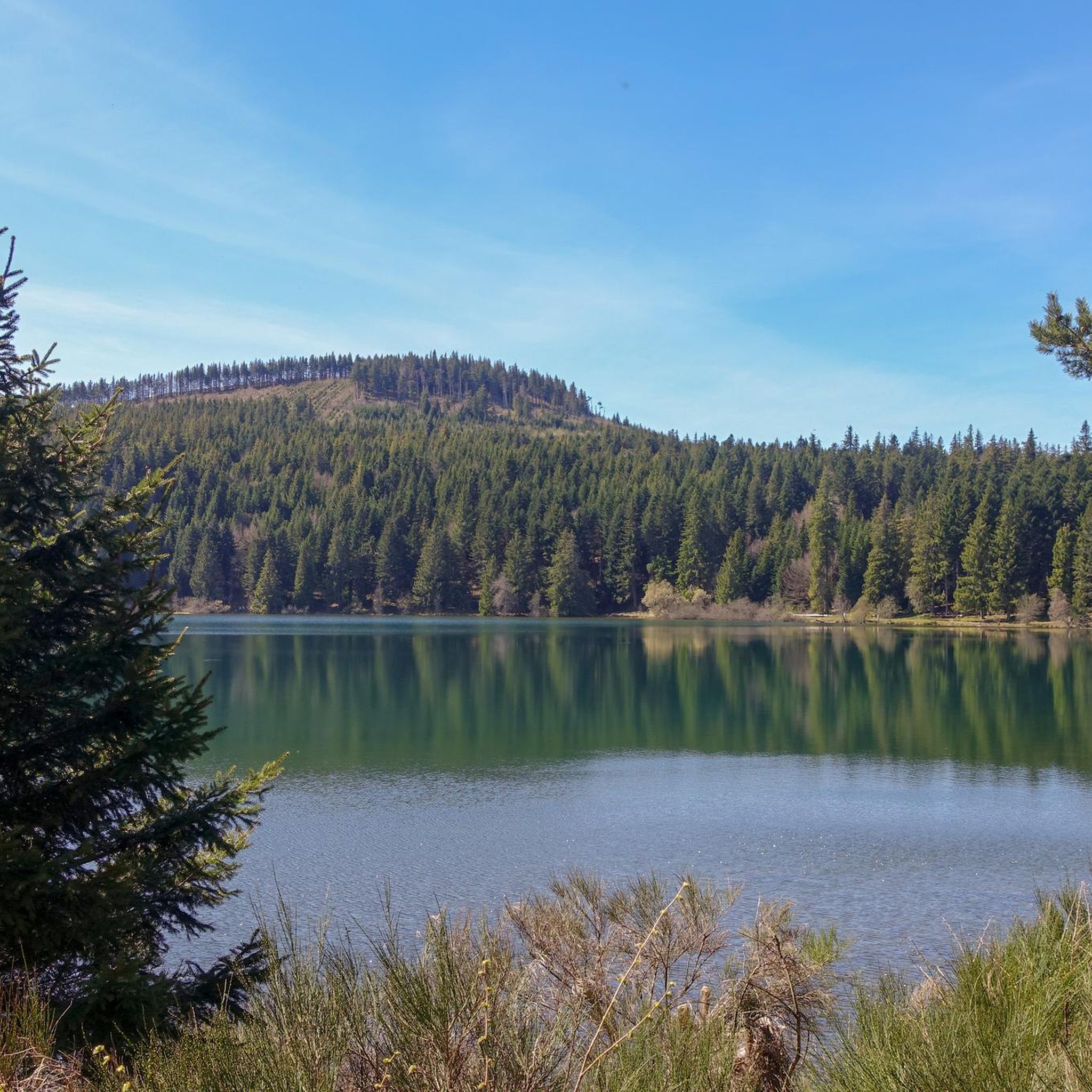
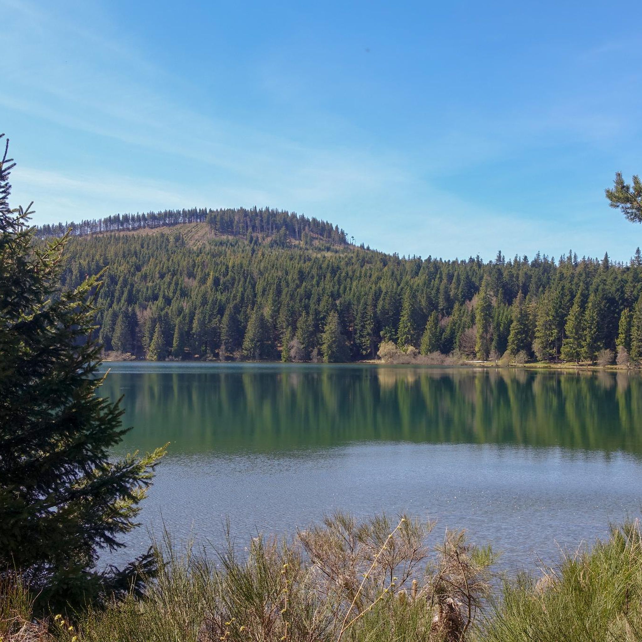
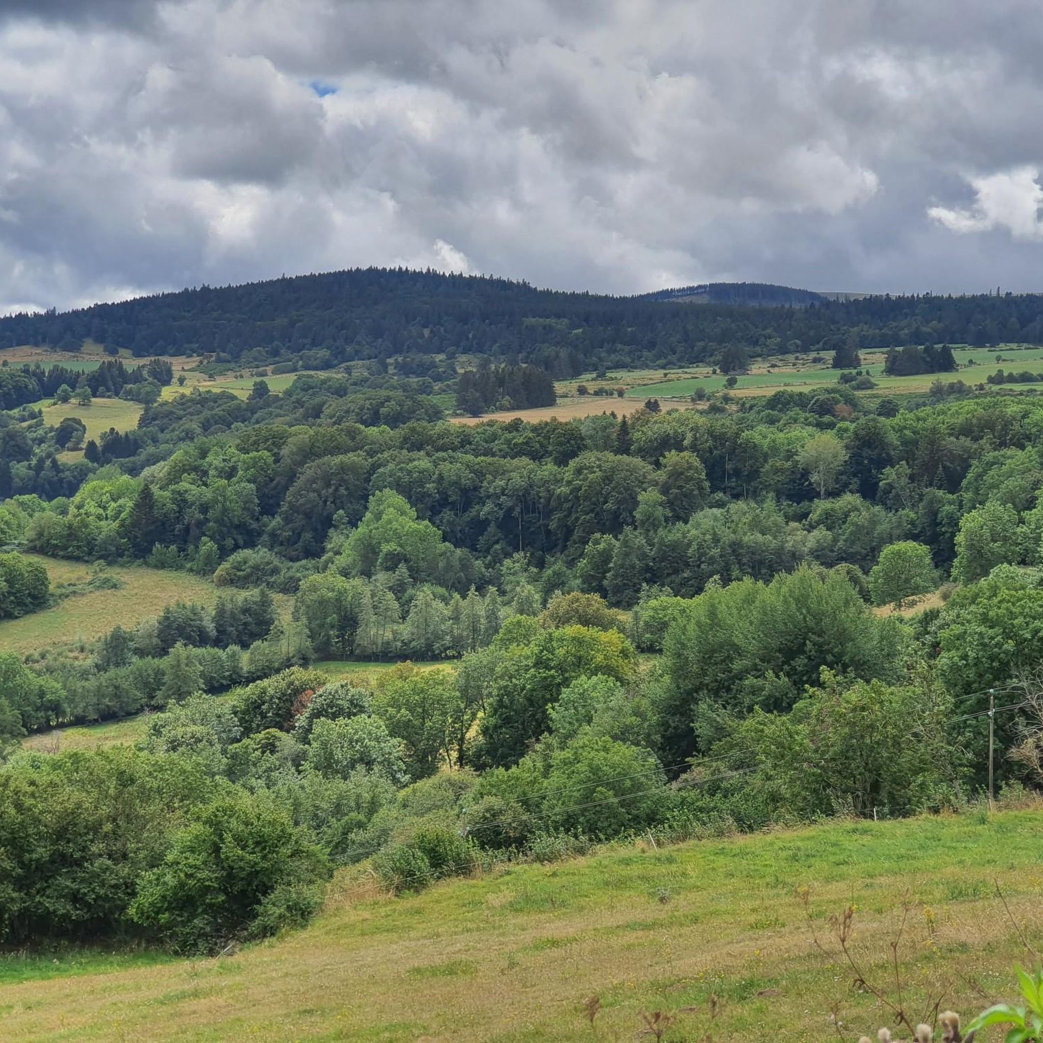
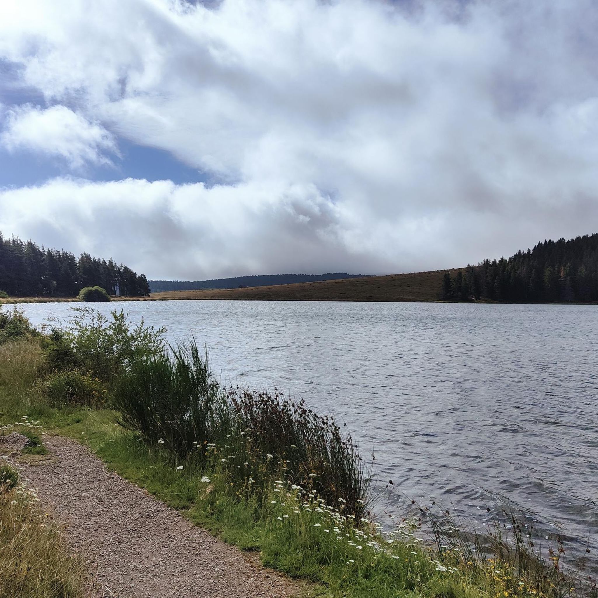
Gravel biking around Saint-Bonnet-Près-Orcival offers diverse terrain across the Auvergne-Rhône-Alpes region. The area is characterized by volcanic landscapes, including ancient "puys" (volcanic hills), dense forests, and scenic lakes. Gravel bike trails here often feature varied surfaces, from forest paths to open tracks with views of the Chaîne des Puys. The elevation changes provide both challenging climbs and rewarding descents for gravel cyclists.
Best gravel bike trails around Saint-Bonnet-Près-Orcival
- The most popular gravel bike trail is Lake Servières – Lake Chambon loop from Aurières, a 36.4 miles (58.6 km) trail that takes 5 hours 21 minutes to complete. This route navigates between two significant lakes, offering varied terrain and elevation.
- Another top favourite among local gravel bikers is Gravel between the puys – View of Puy de Dôme loop from Randanne, a moderate 25.8 miles (41.5 km) path. This trail provides panoramic views of the Puy de Dôme and traverses the distinctive volcanic landscape.
- Local gravel bikers also love the Puy de la Vache – Gravel between the puys loop from Aydat, a 19.7 miles (31.7 km) trail leading through volcanic hills and forests, often completed in about 2 hours 30 minutes.
- Gravel biking around Saint-Bonnet-Près-Orcival is defined by volcanic landscapes, ancient forests, and serene lakes. The network offers options for moderate to difficult ability levels, catering to experienced gravel cyclists.
- The routes in Saint-Bonnet-Près-Orcival are highly rated by the komoot community with an average score of 4.4 stars from over 20 reviews. More than 200 gravel bikers have used komoot to explore Saint-Bonnet-Près-Orcival's varied terrain.
Last updated: July 3, 2026
4.7
(6)
17
riders
34.9km
02:43
480m
480m
Hard gravel ride. Very good fitness required. Mostly paved surfaces. Suitable for all skill levels.
4.8
(6)
25
riders
41.5km
02:53
440m
440m
Moderate gravel ride. Good fitness required. Mostly paved surfaces. Suitable for all skill levels.

Sign up for free
4.5
(2)
29
riders
45.8km
03:25
1,010m
1,010m
Hard gravel ride. Very good fitness required. Mostly paved surfaces. Suitable for all skill levels.
4.6
(5)
43
riders
70.7km
05:33
1,460m
1,460m
Hard gravel ride. Very good fitness required. Mostly paved surfaces. Suitable for all skill levels.
4.0
(3)
7
riders
18.3km
01:24
260m
260m
Moderate gravel ride. Good fitness required. Mostly paved surfaces. Suitable for all skill levels.
Get access to more routes and recommendations from other explorers.
Sign up for free
Already have an account?
Our route recommendations are based on thousands of hikes, rides, and runs completed by other people on komoot.
Start today with a free account
Your next adventure awaits.
Login or Signup
Tips from the Community

Hi. A lovely little hike, very pleasant, skirting the Orcines golf course, one of the most beautiful mountain golf courses in Europe. Stunning views of the Chaîne des Puys.
0
0

A wonderful pass, superb landscapes! And a very beautiful route
0
0

A challenge with full luggage, as the Robert Pass is currently closed. Traffic was quite bearable. The pass hut was rather busy, but it was also Whitsun. I can't imagine what would have been like if the weather had been perfect.
0
0

Outing at the top of the varied and superb landscapes! Be careful however for outings at the end of winter: some sections are impassable because of mud, put on the studded tires of your gravel. Passages in the undergrowth on the last 15 km are complicated requiring you to carry the bike (fallen trees, difficult path...)
0
0


The Col de Guéry, located in the heart of the Auvergne region, offers a picturesque mountain pass experience amidst the volcanic landscapes of the Massif Central. At an altitude of approximately 1,267 metres, the pass offers stunning views of Lake Guéry below, the highest lake in Auvergne. The region is known for its tranquil beauty, with rolling meadows, dramatic volcanic peaks and forests that change colour with the seasons. Nearby Roche Sanadoire and Roche Tuilière add to the spectacular scenery, making it a perfect stop on your hike.
1
0
As you walk along the Gouris path, you will have a breathtaking view of the Puy de Dôme, one of the most iconic volcanoes in the Auvergne region. At over 1,400 metres, the Puy de Dôme dominates the horizon with its characteristic rounded shape. As you pass it, you are sometimes rewarded with a ring of mist around its summit on cold mornings, which creates a magical experience.
1
0
Frequently Asked Questions
What is the general difficulty level of gravel bike trails around Saint-Bonnet-Près-Orcival?
The gravel biking routes in Saint-Bonnet-Près-Orcival primarily cater to experienced cyclists, with options ranging from moderate to difficult. You'll find 11 moderate and 22 difficult trails, offering varied terrain and elevation changes across the volcanic landscape.
Are there any family-friendly or beginner gravel bike trails in the area?
While the region is known for its moderate to difficult trails, some routes might be suitable for families or beginners looking for a challenge, especially shorter sections. However, the majority of the 33 available routes are rated moderate or difficult, so careful consideration of elevation and distance is advised.
What are some of the longer gravel bike routes available?
For those seeking longer rides, consider the Le Somat Forest Trail – View of the Chaîne des Puys loop from La Miouze - Rochefort, which spans 94.4 km. Another challenging option is the Gravel between the puys – Lac Chambon loop from Randanne, covering 72.6 km.
Are there circular gravel bike trails around Saint-Bonnet-Près-Orcival?
Yes, many of the gravel bike trails in the region are designed as loops, allowing you to start and end at the same point. For example, the popular Lake Servières – Lake Chambon loop from Aurières is a 58.6 km circular route.
What kind of scenery can I expect on the gravel bike trails?
The trails offer stunning views of the Auvergne-Rhône-Alpes region's unique volcanic landscapes, including ancient 'puys' (volcanic hills) and dense forests. You'll also encounter scenic lakes and open tracks with panoramic vistas of the Chaîne des Puys, such as on the Gravel between the puys – View of Puy de Dôme loop from Randanne.
What nearby attractions can I explore while gravel biking?
The region is rich in natural beauty. You can find several beautiful lakes like Lake Aydat, Lake Guéry, and Lake Servières. There are also notable mountain passes and viewpoints, including Ceyssat Pass and the View of Roches Tuilière and Sanadoire.
What is the best time of year for gravel biking in Saint-Bonnet-Près-Orcival?
The spring, summer, and early autumn months generally offer the most favorable conditions for gravel biking, with milder weather and lush landscapes. While some trails might be accessible in winter, be prepared for colder temperatures and potential snow or ice, especially at higher elevations.
Are there specific trailheads or parking areas for gravel bikers?
Many routes, being loops, often start and end in or near villages like Aurières, Randanne, or Aydat, where public parking is typically available. It's advisable to check the specific route details on komoot for recommended starting points and parking information.
What do other gravel bikers enjoy most about the trails here?
The komoot community highly rates the routes around Saint-Bonnet-Près-Orcival, with an average score of 4.4 stars from over 20 reviews. Cyclists often praise the diverse terrain, the rewarding elevation changes, and the stunning views of the volcanic landscape and serene lakes.
How many gravel bike trails are available in the Saint-Bonnet-Près-Orcival area?
There are over 30 gravel bike trails available for exploration around Saint-Bonnet-Près-Orcival, offering a wide range of distances and difficulty levels for experienced riders.
Can I find routes that offer views of the Puy de Dôme?
Yes, several routes provide excellent views of the iconic Puy de Dôme. For instance, the Gravel between the puys – View of Puy de Dôme loop from Randanne is specifically highlighted for its panoramic vistas of this famous volcanic peak.
Most popular routes around Saint-Bonnet-Près-Orcival
Most popular attractions around Saint-Bonnet-Près-Orcival

Get inspired with the komoot mobile app


Explore more
Browse the best Gravel rides in other regions.
