The best gravel rides around Saint-Georges-Sur-Allier
4.4
(41)
261
riders
48
rides
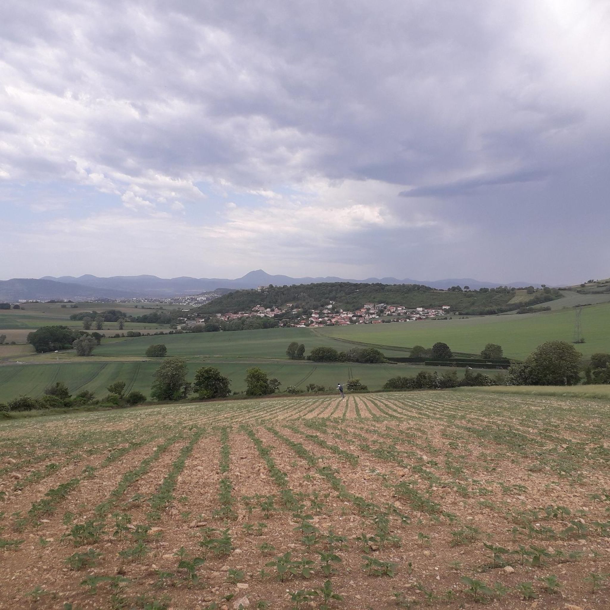
Gravel biking around Saint-Georges-Sur-Allier offers routes through a landscape characterized by the Allier River valley, agricultural plains, and gentle hills. The terrain includes riverside paths, quiet country roads, and some sections with notable elevation changes. This region provides a mix of flat stretches ideal for speed and more challenging climbs.
Best gravel bike trails around Saint-Georges-Sur-Allier
- The most popular gravel bike trail is Allier River Banks – Dallet bridge loop from Vic-le-Comte, a 29.6 miles (47.7 km) trail that takes 3 hours 27 minutes to complete. This moderate route follows the Allier River banks and crosses the Dallet bridge.
- Another top favourite among local gravel bikers is Dallet bridge – Dallet village loop from Le Cendre - Orcet, a moderate 17.4 miles (28.1 km) path. This route explores the area between Dallet bridge and Dallet village, offering varied scenery.
- Local gravel bikers also love the Dallet bridge – Pathway by the Allier River loop from Sarliève - Cournon, a 39.8 miles (64.1 km) trail leading through riverside pathways, often completed in about 4 hours 57 minutes.
- Gravel biking around Saint-Georges-Sur-Allier is defined by river valleys, agricultural landscapes, and varied elevation profiles. The network offers options for different ability levels, from moderate riverside loops to more difficult routes with significant climbs.
- The routes in Saint-Georges-Sur-Allier are highly rated by the komoot community with an average score of 4.6 stars from more than 30 reviews. More than 200 gravel bikers have used komoot to explore Saint-Georges-Sur-Allier's varied terrain.
Last updated: July 3, 2026
4.3
(16)
75
riders
47.2km
02:42
230m
230m
Moderate gravel ride. Good fitness required. Mostly paved surfaces. Suitable for all skill levels.
19
riders
62.9km
04:02
490m
490m
Hard gravel ride. Very good fitness required. Mostly paved surfaces. Suitable for all skill levels.

Sign up for free
5.0
(1)
9
riders
36.1km
02:26
420m
420m
Moderate gravel ride. Good fitness required. Mostly paved surfaces. Suitable for all skill levels.
2.0
(1)
4
riders
46.3km
03:36
800m
800m
Hard gravel ride. Very good fitness required. Mostly paved surfaces. Suitable for all skill levels.
4.0
(1)
12
riders
52.5km
03:36
820m
820m
Hard gravel ride. Very good fitness required. You may need to push your bike for some segments of this route.
Get access to more routes and recommendations from other explorers.
Sign up for free
Already have an account?
Our route recommendations are based on thousands of hikes, rides, and runs completed by other people on komoot.
Start today with a free account
Your next adventure awaits.
Login or Signup
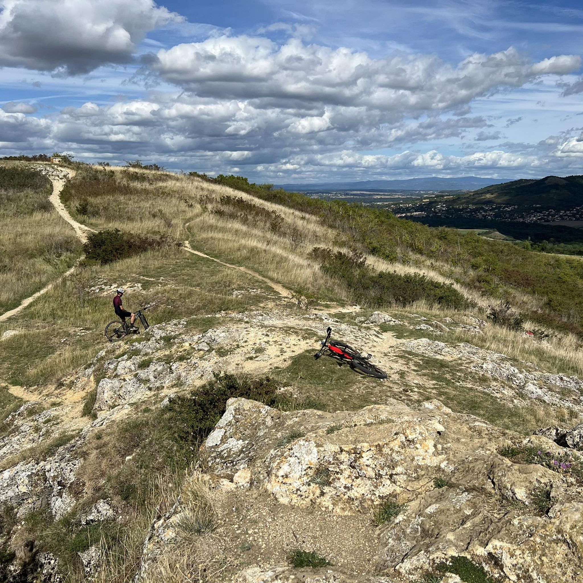
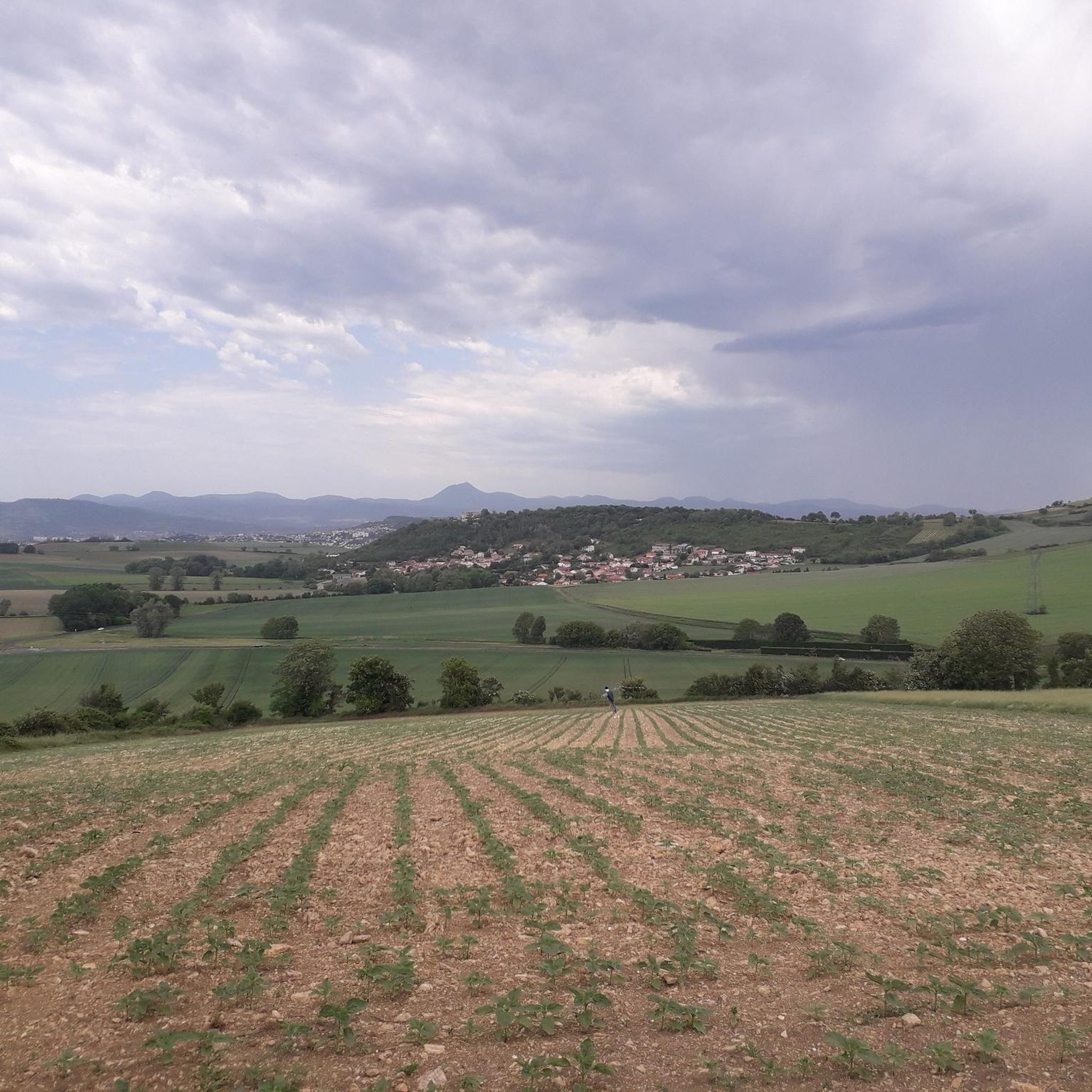
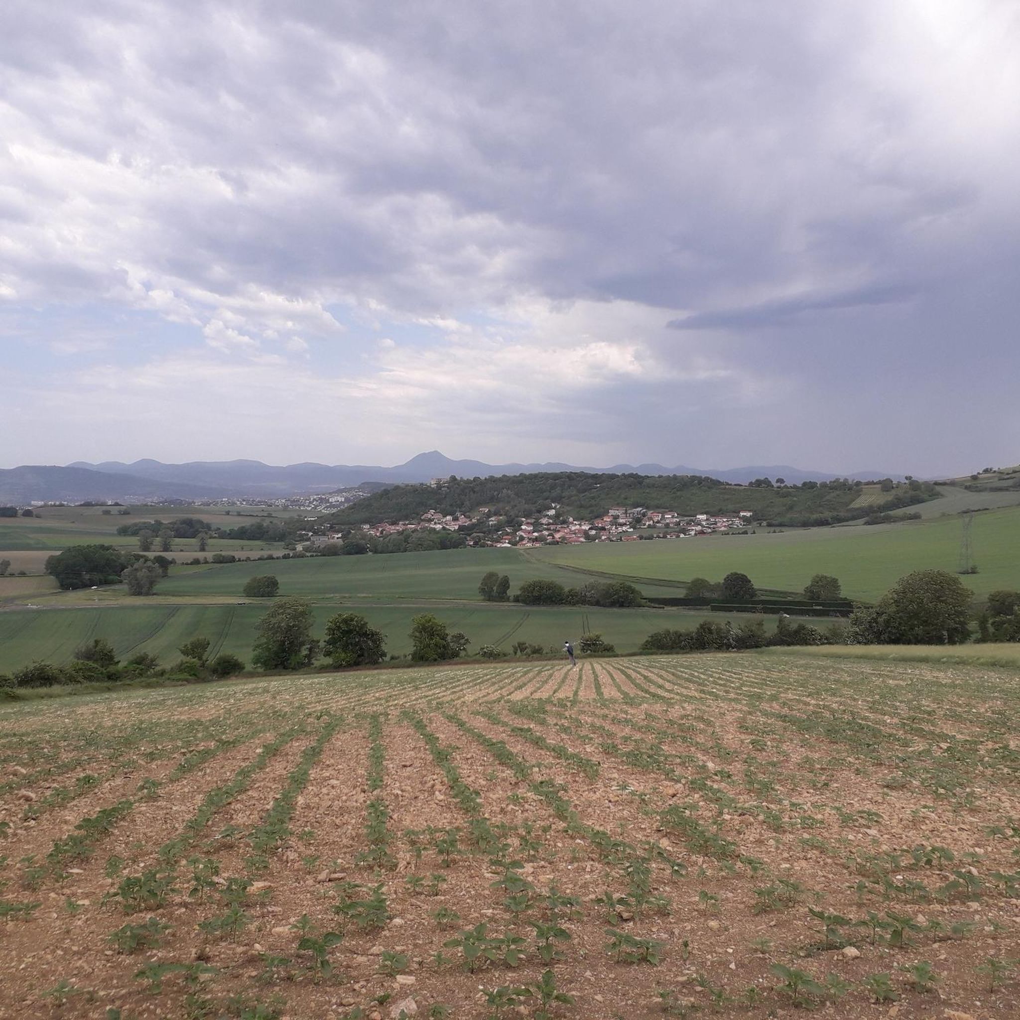
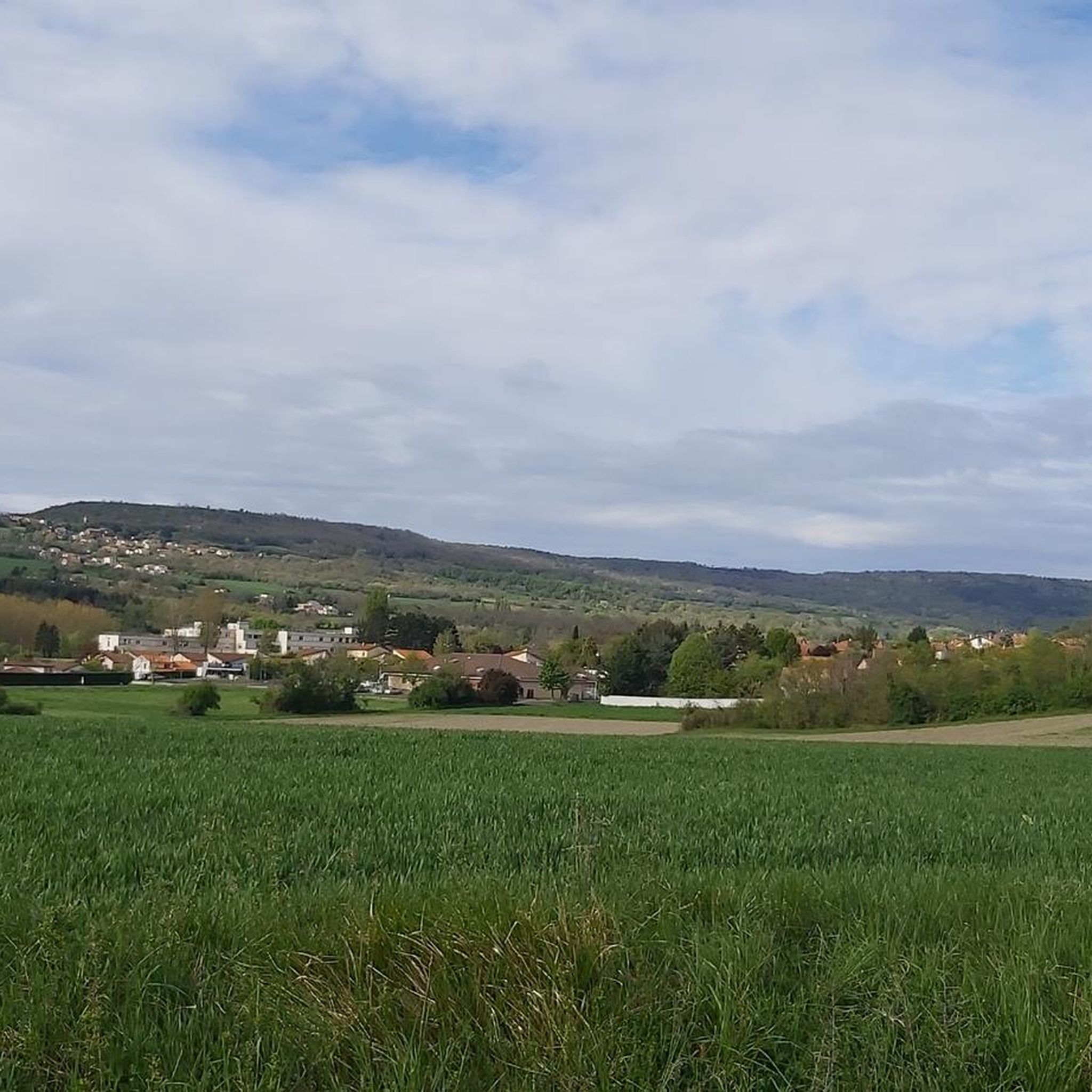
Tips from the Community

magnificent path to the Ceyrat gorges
0
0


Medieval town center which has preserved its authenticity, its cobbled streets, where it is good to stroll and discover beautiful little shops full of charm.
0
0

Inaugurated in 1889, this Eiffel-type road bridge was recently restored with the addition of two separate lanes to make it safer for pedestrians/cyclists to cross the Allier River.
2
0

Cycle path next to the railway
0
0

Near the Allier, this passage offers a bit of flatness in the middle of a hilly landscape. A pleasant place mixing woods and bodies of water.
0
0

Lots of development on the edge of Allier, tarmac path or wide stabilized track. But some playful and very nice singles survive!!!
0
0
Frequently Asked Questions
What kind of terrain can I expect on gravel bike trails around Saint-Georges-Sur-Allier?
The region offers a diverse landscape for gravel biking, characterized by the Allier River valley, expansive agricultural plains, and gentle rolling hills. You'll encounter riverside paths, quiet country roads, and some sections with notable elevation changes, providing a mix of flat stretches and more challenging climbs.
Are there gravel bike trails suitable for beginners or those looking for an easy ride?
Yes, Saint-Georges-Sur-Allier has options for less experienced riders. While many routes are moderate to difficult, there are 4 easy routes available. For a moderate introduction, consider the Dallet bridge – Dallet village loop from Le Cendre - Orcet, which is 17.4 miles (28.1 km) long and offers varied scenery.
What are the typical distances and durations for gravel bike routes in this area?
Gravel bike routes around Saint-Georges-Sur-Allier vary significantly. You'll find routes ranging from moderate 17.4-mile (28.1 km) loops, like the Dallet bridge – Dallet village loop taking around 2 hours 10 minutes, to more challenging 39.8-mile (64.1 km) trails such as the Dallet bridge – Pathway by the Allier River loop, which can take nearly 5 hours to complete.
Are there challenging gravel bike routes for advanced riders?
Absolutely. The region features 24 difficult routes for experienced gravel bikers. For a significant challenge, the Saint-Genès Stream – Ascent to Redon farm loop from Sarliève - Cournon covers 51.8 miles (83.5 km) with over 800 meters of elevation gain, making it a demanding ride.
What kind of natural sights or landmarks can I see along the gravel bike trails?
Many routes offer scenic views and pass by interesting landmarks. You might encounter natural monuments like the Puy de Bane or the historic Gergovie Plateau. The area also boasts several castles, including views of Busseol castle and Château de Montmorin, adding historical interest to your ride.
What do other gravel bikers say about the trails around Saint-Georges-Sur-Allier?
The gravel biking routes in Saint-Georges-Sur-Allier are highly rated by the komoot community, with an average score of 4.6 stars from over 30 reviews. Riders often praise the varied terrain, from riverside paths to quiet country roads, and the opportunities to explore the scenic Allier River valley.
Are there any gravel bike routes that pass by lakes or other water features?
Yes, several routes incorporate water features. For example, the Pathway Next to the Railway – Lake loop from Sarliève - Cournon is a 48.2-mile (77.6 km) route that includes a scenic lake section, offering pleasant views and a different riding experience.
What is the best time of year to go gravel biking in Saint-Georges-Sur-Allier?
The spring and autumn months generally offer the most pleasant conditions for gravel biking in Saint-Georges-Sur-Allier, with milder temperatures and beautiful scenery. Summer can be enjoyable, but be prepared for warmer weather, especially on exposed sections. Winter riding is possible, but some paths might be muddy or less accessible depending on rainfall.
Are there any family-friendly gravel biking options in the area?
While many routes feature moderate to difficult sections, families with some biking experience can find suitable paths, particularly along the flatter riverside sections. It's advisable to check the difficulty and elevation profile of specific routes to ensure they match your family's ability. The easier routes tend to be shorter and have less elevation gain.
Can I find routes that are less crowded around Saint-Georges-Sur-Allier?
The region offers a good number of trails, and while popular routes like those along the Allier River banks can see more activity, exploring some of the 52 available routes, especially those venturing into the agricultural plains or gentle hills away from the main river paths, can lead to a more secluded experience. Look for routes with fewer reviews if you prefer solitude.
Is public transport available to access the gravel bike trails?
Specific public transport links directly to trailheads are not detailed in the route information. However, Saint-Georges-Sur-Allier and surrounding towns may have local bus services. It's recommended to research local transport options to nearby villages or starting points for the routes you plan to ride.
Where can I find parking for gravel bike trails in Saint-Georges-Sur-Allier?
While specific parking locations aren't listed for each trailhead, you can generally find parking in the villages and towns that serve as starting points for these routes, such as Vic-le-Comte, Le Cendre - Orcet, or Sarliève - Cournon. Look for public parking areas or designated spaces near local amenities.
Most popular routes around Saint-Georges-Sur-Allier
Most popular attractions around Saint-Georges-Sur-Allier

Get inspired with the komoot mobile app


Explore more
Browse the best Gravel rides in other regions.
