The 20 Most Amazing Peaks around Steinheim am Albuch
Best mountain peaks around Steinheim am Albuch are characterized by a unique geological landscape, primarily shaped by a meteorite impact approximately 15 million years ago. The region features the central uplift of the Steinheim Basin, known as the Steinhirt, and the distinctive rock formations of the Wental Valley. These elevated areas offer significant geological insights and diverse natural attractions. The broader Albuch plateau provides extensive forests, meadows, and juniper heathlands for outdoor activities.
Best mountain peaks around Steinheim am Albuch
…Last updated: June 23, 2026
Volkmarsberg Observation Tower
Highlight • Viewpoint
Translated by Google •
Tip by

View from Messelberg
Highlight • Viewpoint
Translated by Google •
Tip by

Sign up now to discover places like this
Get recommendations on the best single tracks, peaks, & plenty of other exciting outdoor places.
Sign up for free
View of Eybach from the Himmelsfelsen
Highlight • Viewpoint
Translated by Google •
Tip by

Knillberg
Highlight • Summit
Translated by Google •
Tip by

Wäldlesfels Rock Formation
Highlight • Natural Monument
Translated by Google •
Tip by

Sign up for free to discover even more peaks around Steinheim am Albuch.
Sign up for free
Already have an account?
Start today with a free account
Your next adventure awaits.
Login or Signup
Popular around Steinheim am Albuch
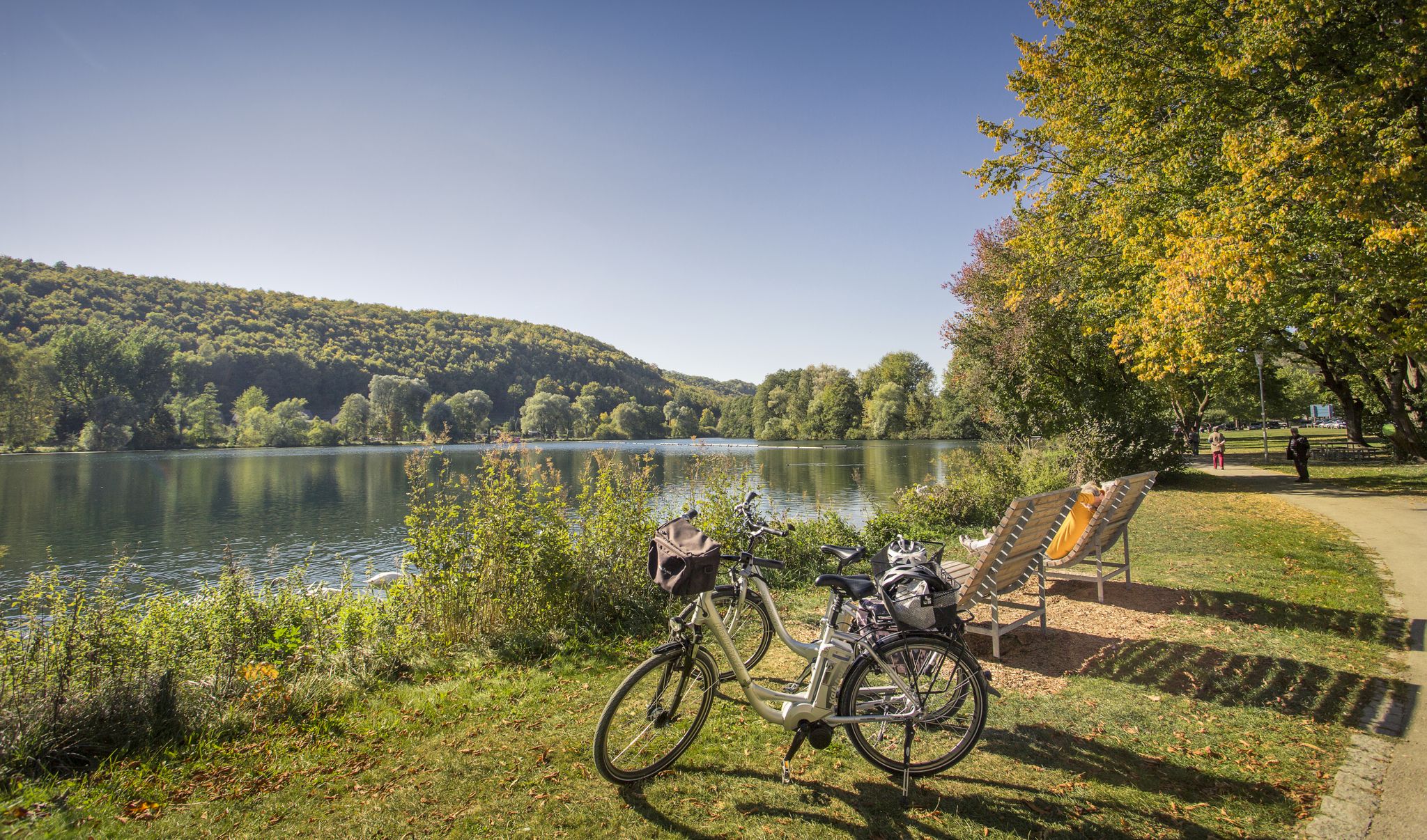
Prehistoric landscapes and the Ice Age – cycling in the Brenz region
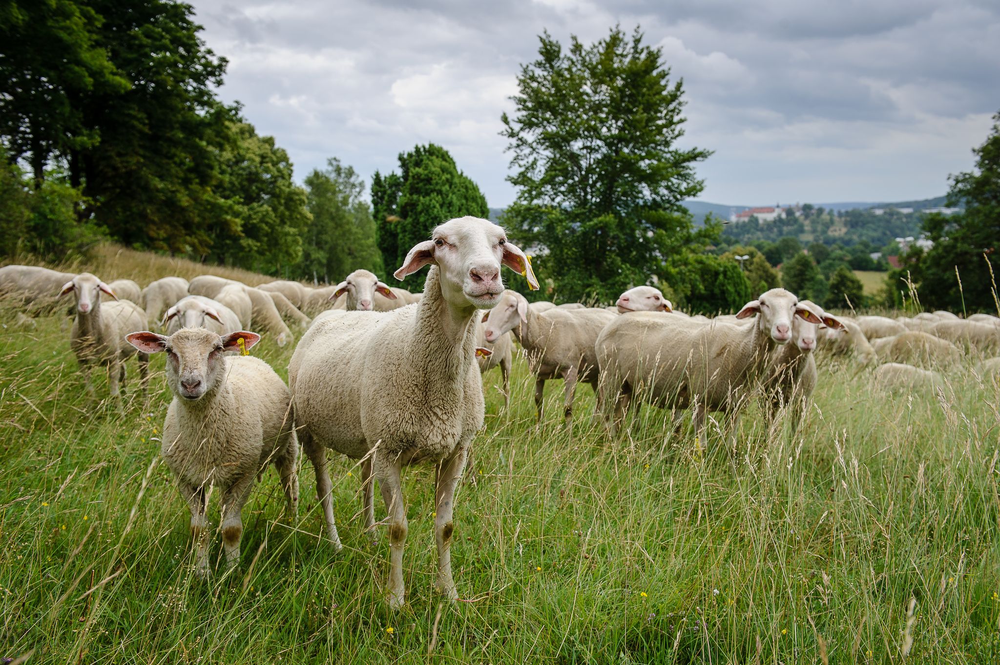
Counting sheep on the Albschäfer Trail
Counting sheep on the Albschäfer Trail
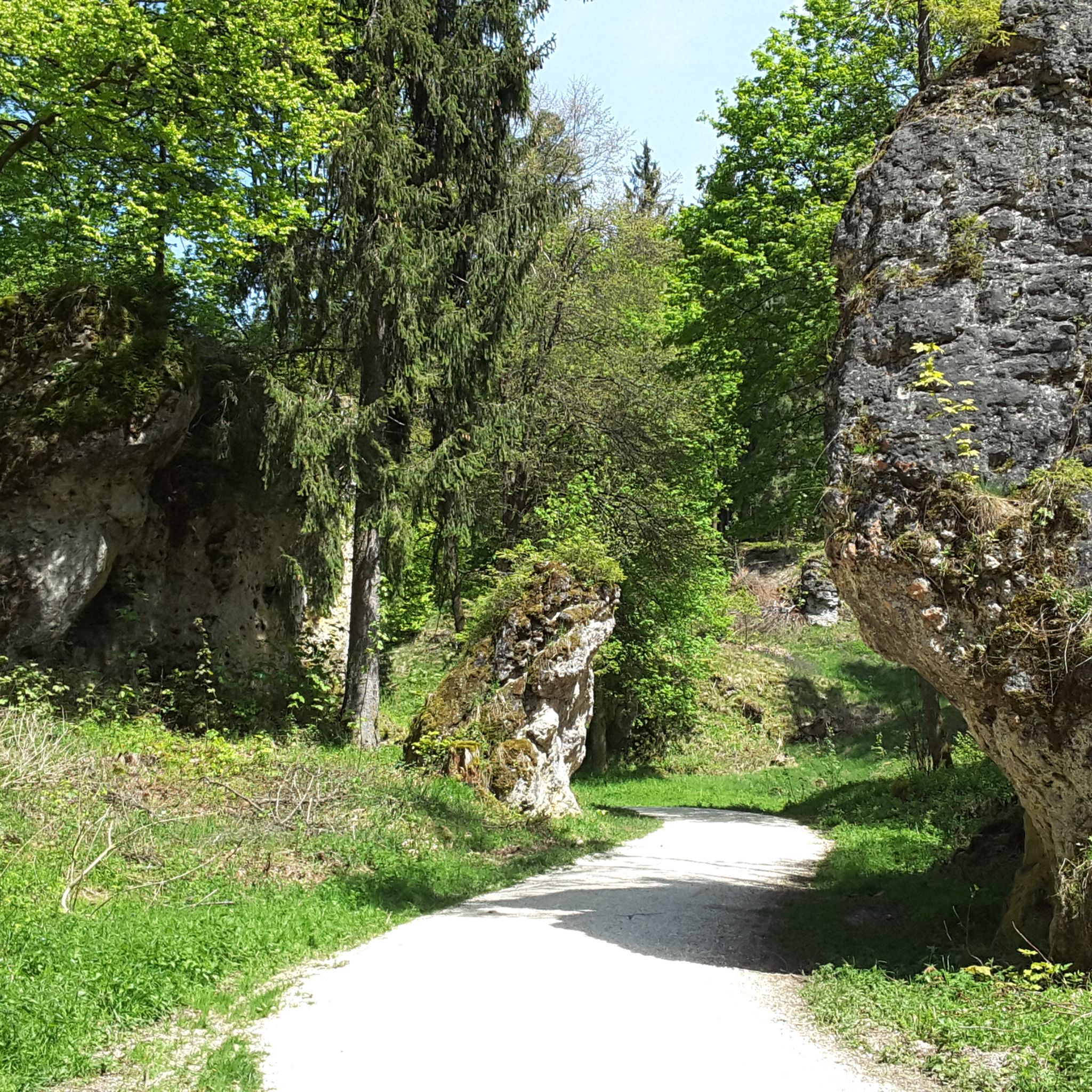
Hiking around Steinheim am Albuch
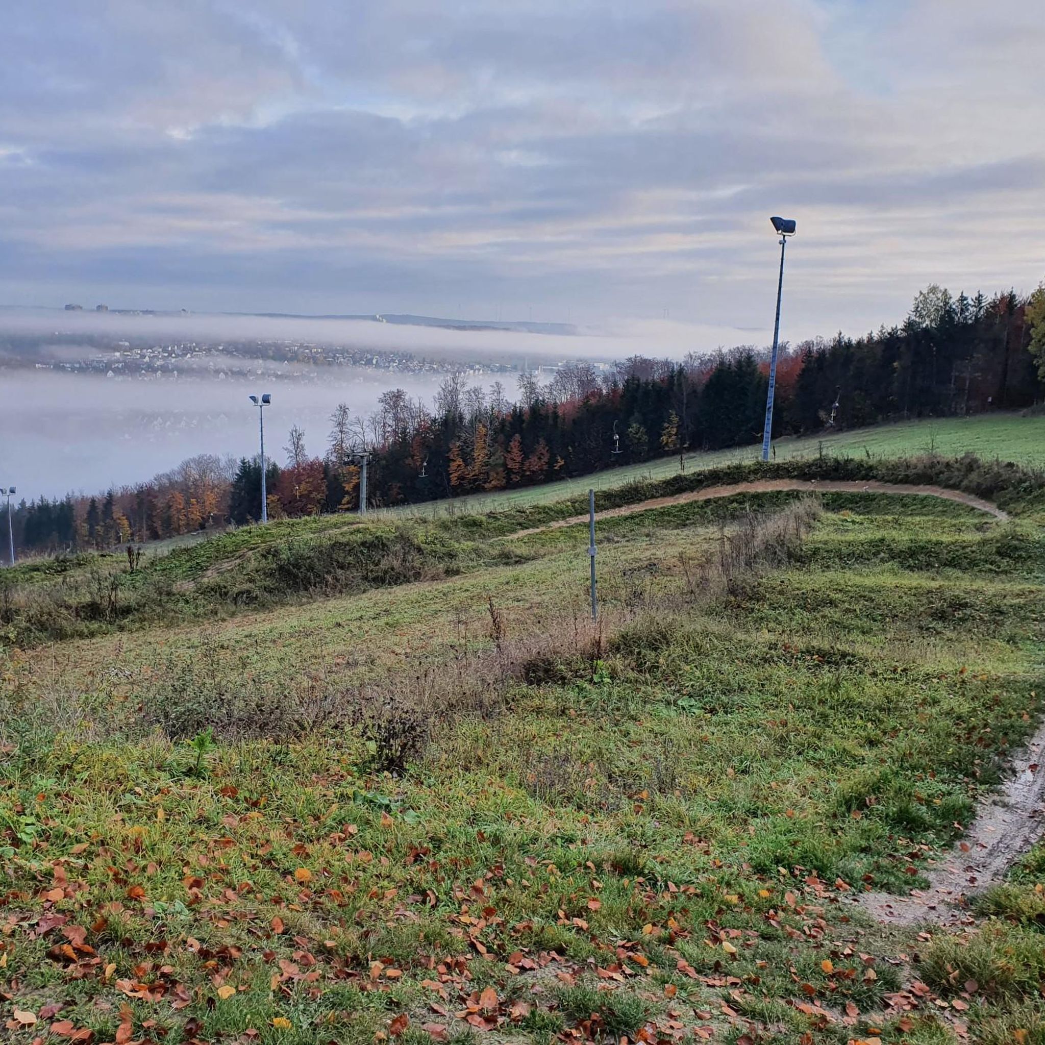
Cycling around Steinheim am Albuch
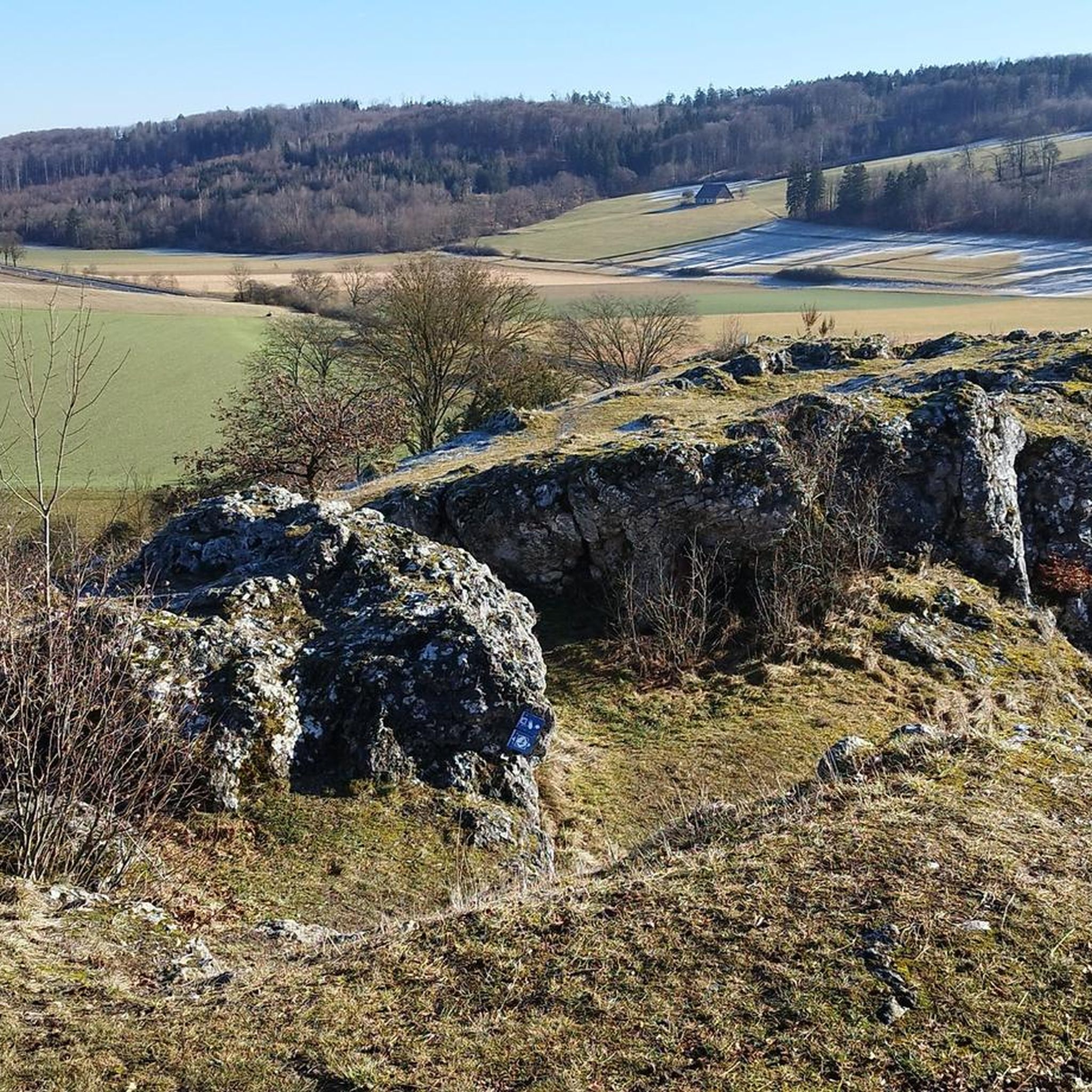
Road Cycling Routes around Steinheim am Albuch
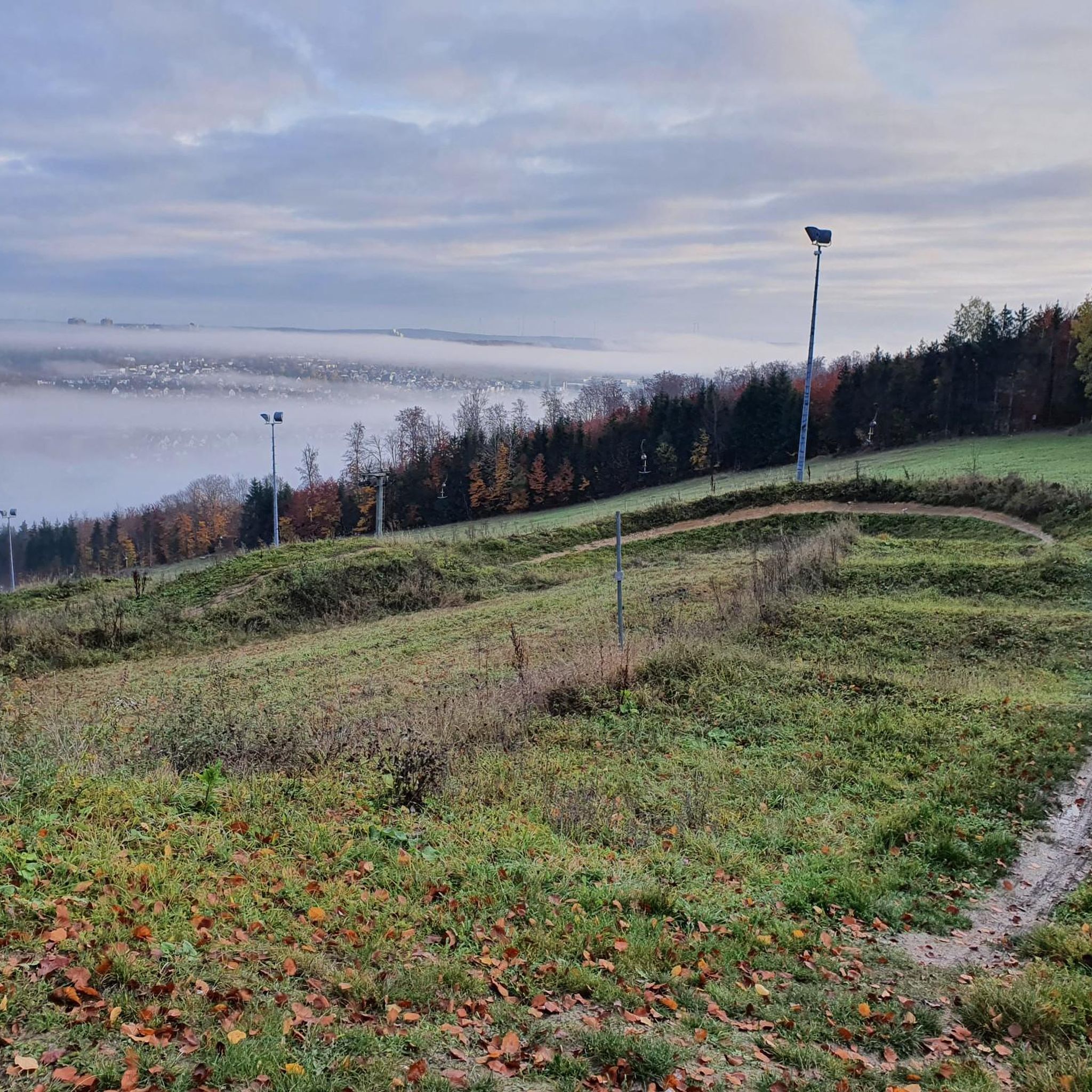
Running Trails around Steinheim am Albuch
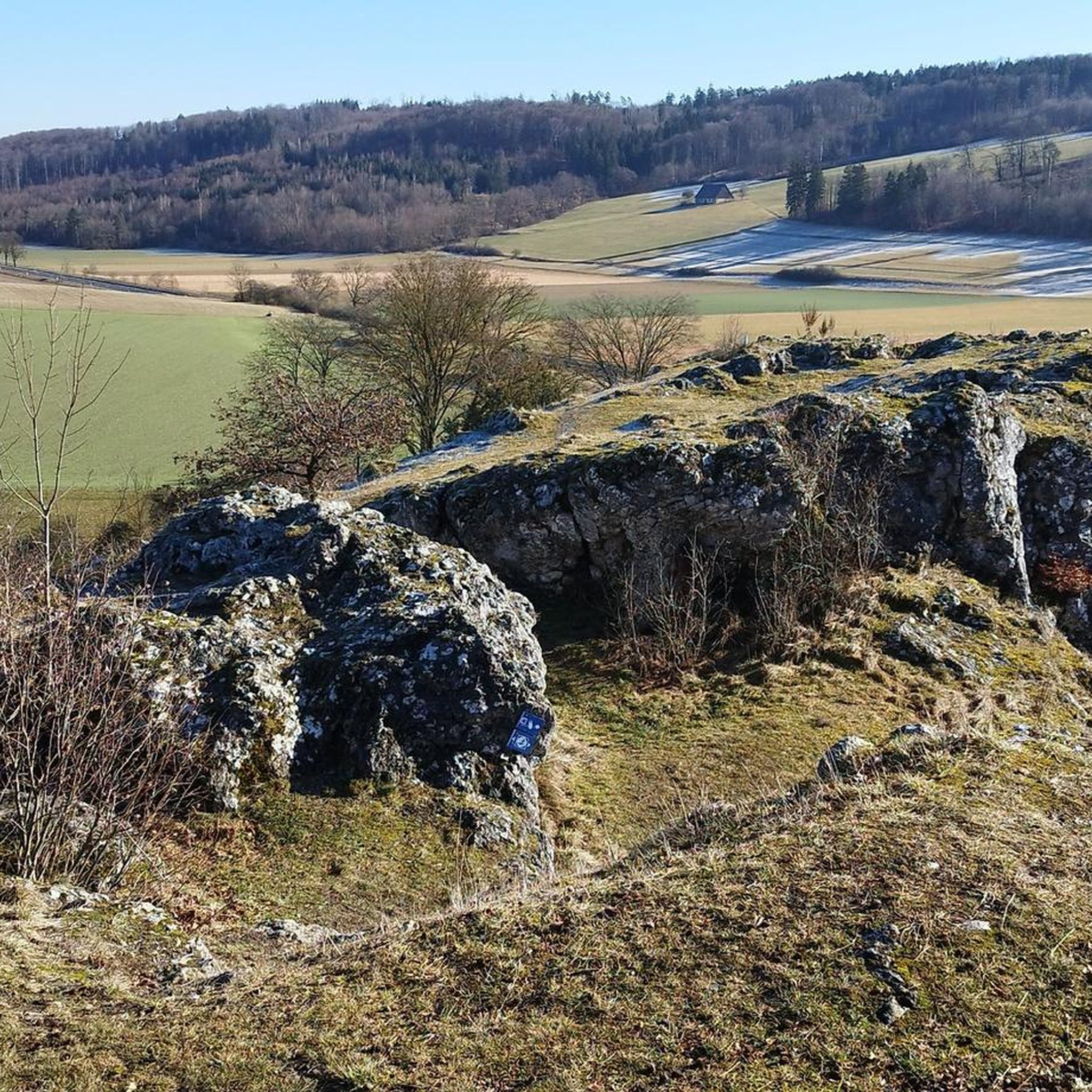
MTB Trails around Steinheim am Albuch

Gravel biking around Steinheim am Albuch
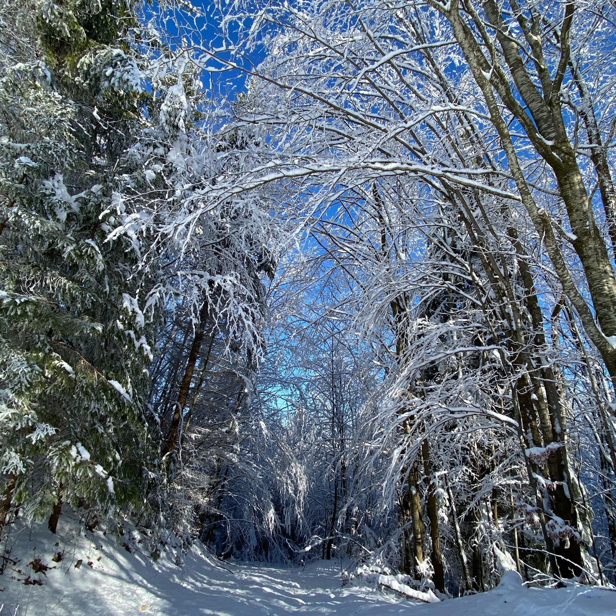
Mountain Hikes around Steinheim am Albuch

Tips from the Community

From the Himmelsfelsen (Heavenly Rock), a wide, unobstructed view opens up over the idyllic valley and the rooftops of the small town. Particularly striking is the contrast between the gently rolling hills of the Swabian Alb, the dense forests, and the open meadows, which transform into a sea of color in autumn.
8
0

The Messelberg is a soaring mountain. A rocky cliff at 743 m above sea level, it protrudes from the Messelberg. From here, on a clear day, you can see as far as the Black Forest, about 130 km away. The Swabian Alb North Rim Trail, which runs along the edge of the Alb trauf, offers particularly beautiful views far down into the Fils Valley at the Rötelstein and Messelstein viewpoints near Donzdorf. One of the Lion Trails also leads along the Messelberg, a bare rock that protrudes from the green Messelberg. The Messelberg is also home to the Donzdorf Flying Group's gliding airfield. Not far from there, next to the Rötelstein, is the launch pad of the Staufen Hang Gliding and Paragliding Club.
0
0

There is no view from the rock itself. Everything is overgrown.
1
0

When you drive past below, you can't see the rock. It's quite impressive considering the entire basin was once a lake.
2
0


It is worth stopping here for a great view
2
0
Nice part of the Meteor Crater circular hiking trail
0
0

Frequently Asked Questions
What are the most significant geological features to explore around Steinheim am Albuch?
The most prominent geological feature is the Steinhirt, the central uplift of the Steinheim Basin meteorite crater, a globally significant site. Another unique area is the Wental Valley, known for its bizarre dolomite rock formations, often called the “Felsenmeer” (sea of rocks).
Where can I find the best scenic viewpoints in the Steinheim am Albuch area?
For impressive vistas, visit View of Eybach from the Himmelsfelsen, which offers a great view of Eybach and the Eyb valley. Another excellent spot is View from Messelberg, located at 750 meters above sea level, where on clear days you can see far, potentially even to the Black Forest. The View from Hoher Fels, Scheuelberg also provides wonderful views over Bargau, Bettringen, and Mutlangen.
Are there any historical sites associated with the elevated areas around Steinheim am Albuch?
Yes, the Himmelsfelsen viewpoint is near the ruins of Burg Hoheneybach, a castle first mentioned in 1265. While the castle was destroyed in the Thirty Years' War, its historical presence adds to the site's appeal. Additionally, the Wäldlesfels Rock Formation on the Steinhirt is a natural monument with historical significance related to local conservation efforts.
What kind of hiking trails can I find around Steinheim am Albuch's elevated features?
The region offers diverse hiking experiences. You can explore geological educational trails around the Steinhirt, such as a 6 km path detailing the meteorite impact. The Wental Valley features picturesque trails winding through its unique rock formations, like the "Wentalweible Rock Formation – Wental rock formations loop." The broader Albuch plateau provides numerous routes through forests, meadows, and juniper heathlands, including sections of the "Albschäferweg." You can find more details on trails in the Hiking around Steinheim am Albuch guide.
Are there family-friendly options for exploring the elevated areas?
Yes, many areas are suitable for families. The geological educational trail around the Steinhirt is informative and accessible. The Wental Valley with its unique rock formations is also a popular destination for families, offering an engaging landscape to explore. The View from Hoher Fels, Scheuelberg is listed as family-friendly, providing a rewarding view. Many trails on the Albuch plateau are also suitable for family walks.
What other outdoor activities are available besides hiking near these elevated features?
Beyond hiking, the region is excellent for cycling. You can find various routes for gravel biking and road cycling across the Albuch plateau, offering scenic rides through forests and open landscapes. The Wäldlesfels on the Steinhirt is also a popular climbing rock, offering bouldering routes.
What is the best time of year to visit the elevated areas of Steinheim am Albuch?
The elevated areas and geological sites around Steinheim am Albuch are generally enjoyable year-round. Spring and autumn offer pleasant temperatures and vibrant natural colors, ideal for hiking and cycling. Summer is great for longer days and outdoor exploration, while winter can provide a unique, tranquil experience, especially in the forested areas of the Albuch plateau, though some trails might be more challenging due to snow or ice.
Can I learn more about the meteorite impact that shaped the region?
Absolutely. The Steinhirt, as the central uplift of the Steinheim Basin, is a prime location to understand the meteorite impact. A geological educational trail in the southern part of the crater provides insights through 18 display boards. Additionally, the nearby Meteorkrater-Museum in Sontheim offers extensive information about the crater's formation, geology, and paleontological findings.
Are there any specific rock formations worth seeing in the Wental Valley?
The Wental Valley is famous for its bizarre dolomite rock formations, often referred to as the "Felsenmeer." You can see impressive formations with names like Wentalweible, Sphinx, or Bischofshut. These striking features are a result of millions of years of erosion and karstification, creating an otherworldly landscape that is a highlight for visitors.
What makes the Knillberg significant?
The Knillberg is a green hilltop on the southern edge of the Steinheim Basin. It's significant because it offers clear insights into the geological peculiarity of the Steinheim Basin, which was formed by a meteorite impact 15 million years ago. Information boards are available to explain its history and background, and you might even encounter an Alb shepherd with their herd on its idyllic meadows.
Are there places to eat or rest near the trails?
Yes, near the Wäldlesfels Rock Formation, you'll find the mountain hut "Kraterblick." It's a great spot to relax with coffee and cake or enjoy a meal while taking in the beautiful view of the Steinheim Basin. Other villages and towns in the region also offer various dining and accommodation options.
What is the highest point in the Steinheim am Albuch area?
While the region is not known for towering peaks, the highest point within the municipality's area is found west of Bibersohl in the Bernswang forest, reaching approximately 719 meters above sea level. The View from Messelberg is also a notable elevated point at 750 meters above sea level, offering extensive views.
Most popular routes around Steinheim am Albuch
Most popular attractions around Steinheim am Albuch

Get inspired with the komoot mobile app


Explore more
See even more amazing summits around Steinheim am Albuch with these guides:
