The best gravel rides around Nieulle-Sur-Seudre
4.3
(4)
68
riders
6
rides
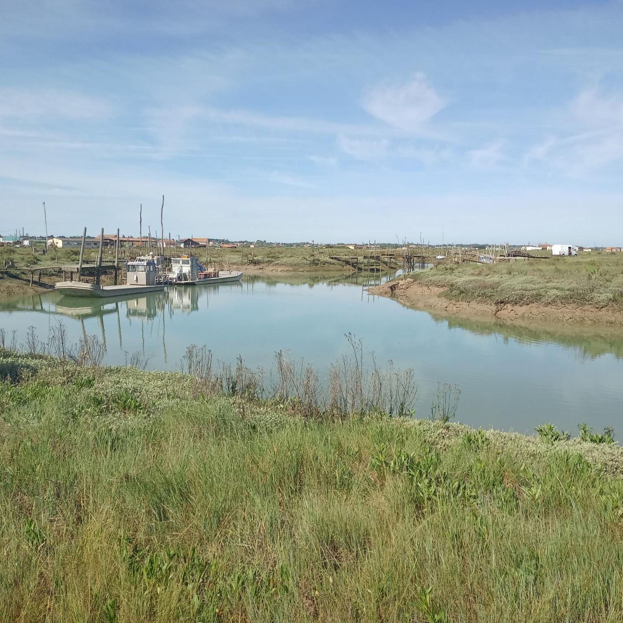
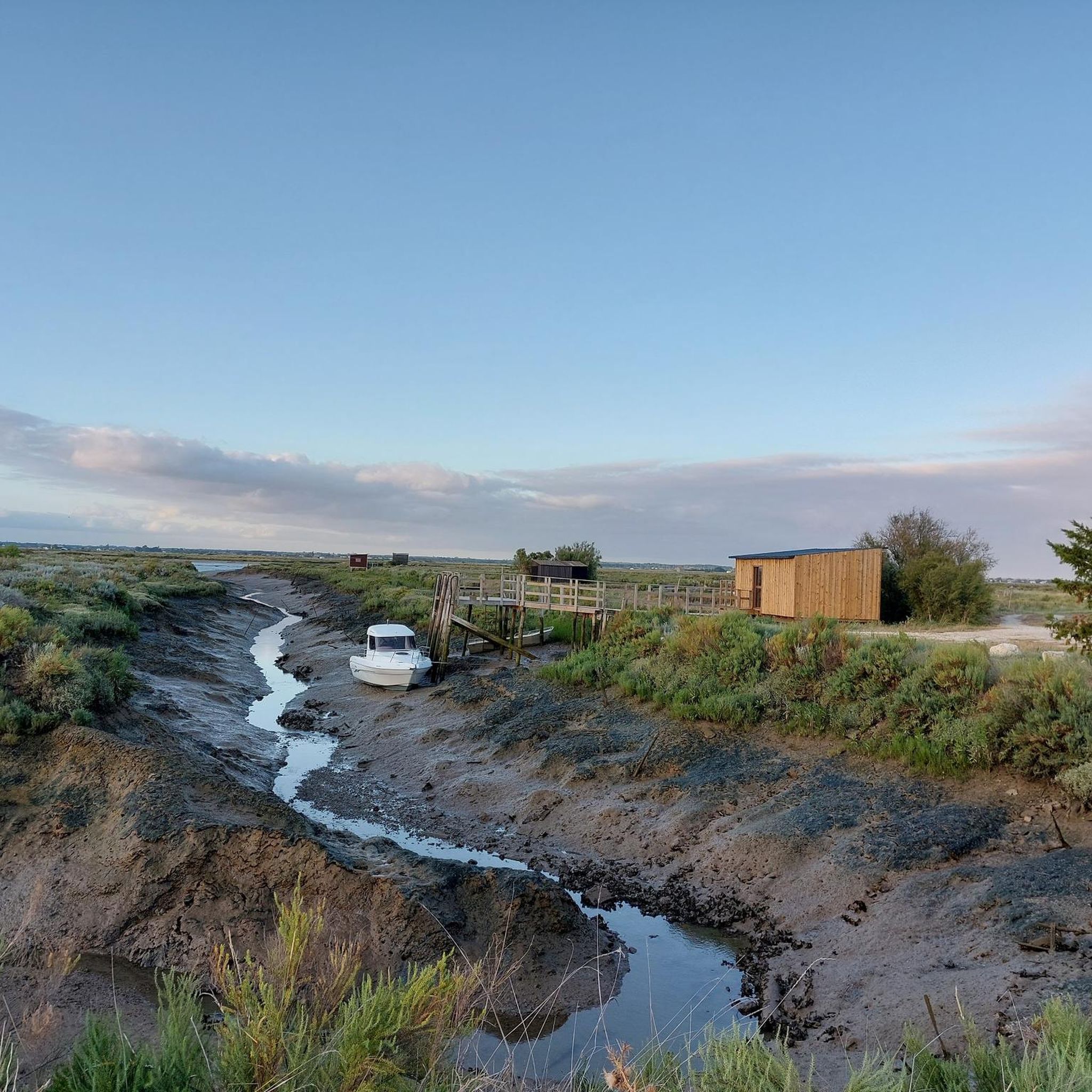
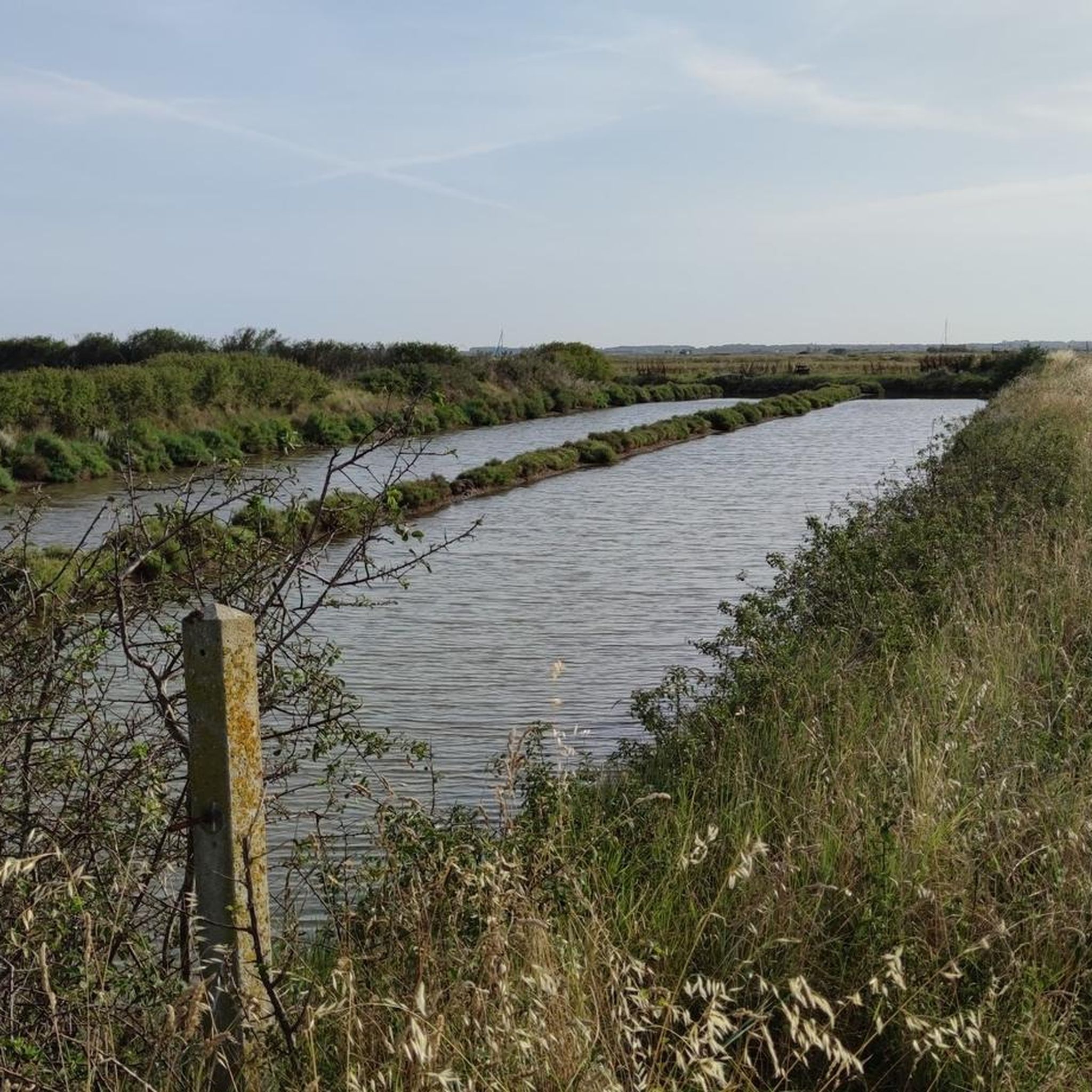
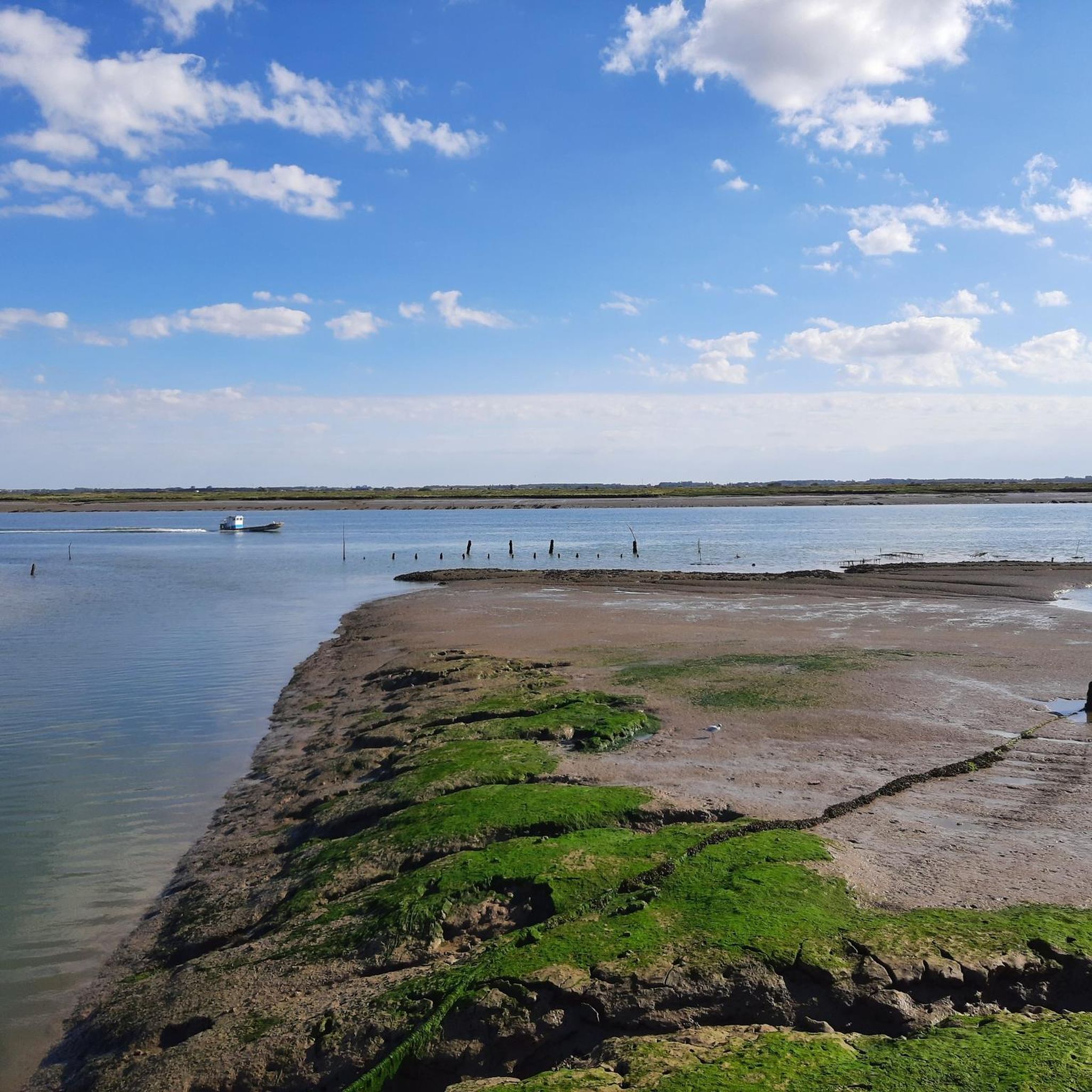
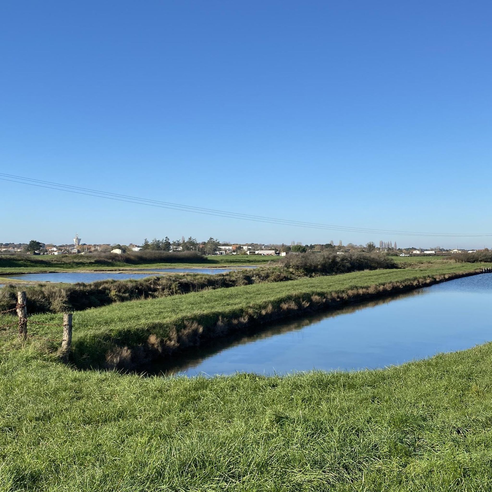
Gravel biking around Nieulle-Sur-Seudre offers routes through a landscape characterized by extensive marshlands, coastal paths, and flat agricultural areas. The region provides a mix of terrain suitable for various gravel cycling routes, often following riverbanks and offering views of the Atlantic coastline. Elevations are generally low, making for accessible riding conditions across its diverse terrain. The Marais de la Seudre, a protected wetland, features a vast network of unpaved paths and white gravel tracks.
Best gravel bike trails around Nieulle-Sur-Seudre
…Last updated: November 2, 2026
4.0
(1)
27
riders
Hard gravel ride. Good fitness required. You may need to push your bike for some segments of this route.
3.0
(1)
6
riders
Easy gravel ride. Mostly paved surfaces.

8
riders
Moderate gravel ride. Good fitness required. Mostly paved surfaces.
5.0
(1)
2
riders
Easy gravel ride. Mostly paved surfaces.
3
riders
29.1km
01:49
110m
110m
Easy gravel ride. Mostly paved surfaces.
Our route recommendations are based on thousands of hikes, rides, and runs completed by other people on komoot.
Start today with a free account
Your next adventure awaits.
Tips from the Community

L'Embellie beach is a real must-see on the coast. This spot offers an exceptional natural setting with an unobstructed view of the island of Oléron, ideal for a break during a mountain bike or bike ride. Between the ocean, the dunes, and the fine sand, the panorama is magnificent in all seasons. A perfect place to enjoy the calm, admire the landscape, and take a few photos before continuing the route.
1
0

The carrelets of Saint-Palais-sur-Mer are among the most emblematic elements of the Charente coastline. Their history blends traditional fishing, tourist development, and local heritage. 🐟 Origin of the carrelets Originally, the word "carrelet" referred to a square fishing net used since the 17th century. A precise description can be found as early as 1769, in the writings of the scholar Henri-Louis Duhamel du Monceau, who mentioned this type of fishing on the Saintonge coast. 👉 At that time, these were not yet the current huts, but simply a net operated from rudimentary structures. ⚓ Artisanal fishing structures The first local carrelets were simple wooden platforms, built by the fishermen themselves to stand above the water. They were mainly used to catch shrimp, fish, and crabs near the shore, without going out to sea. 👉 It was a family and coastal fishery, less dangerous than sea fishing. 🏖️ 19th – early 20th century: transition to a leisure activity At the turn of the 20th century, with the rise of seaside resorts like Saint-Palais, the carrelets evolved. Holidaymakers and notable figures adopted this practice: construction of fixed jetties, appearance of huts on stilts. The carrelets then became places for relaxation as much as for fishing. 👉 They already contributed to the postcard image of the coast. 🪵 After 1945: democratization and multiplication After the Second World War, the number of carrelets increased sharply. They became a symbol of popular leisure and conviviality. The transition was gradually made from a means of subsistence to a recreational activity. 🌊 Storms and reconstruction The carrelets are fragile in the face of storms: 1999: massive destruction (up to 90% in some areas) 2010 (Xynthia storm): new damage Many have been rebuilt identically, respecting tradition. 🏛️ Today: protected heritage In Charente-Maritime, there are about 400 carrelets. They are: integrated into the public maritime domain allocated by administrative authorization (often renewed every 5 years) Since 2018, they have been recognized as cultural heritage of the department. 👉 In Saint-Palais, they can be observed in particular: at Pont du Diable at the conche du Concié at the Puits de l’Auture
0
0
📍 Introducing the Gilet Cove The Gilet Cove is a small, natural beach on the oceanfront, located on Boulevard de la Conche de Gilet / Boulevard de la Falaise, in the town of Vaux-sur-Mer, just before Royan. 🌿 It's a sheltered, rocky cove, appreciated for its tranquility and more intimate setting compared to the larger urban beaches nearby. 🏖️ At high tide, the sea can completely cover this small beach, making the space very limited; at low tide, you can enjoy a patch of sand and rocks for relaxing or swimming. 🧭 Features & Tips 📍 Type of place: small, unsupervised beach, nestled among the rocks with sand and cliffs. 🏖️ Tides: access is best at low tide — at high tide the beach can disappear underwater. 🐶 Animals: prohibited from April 1st to September 30th (subject to municipal regulations). 👣 Access: via stairs from the boulevard above, surrounded by villas with sea views. 🚫 Lifeguard services: no lifeguard station or marked services. 📍 Location La Conche de Gilet is often considered the last small beach in Vaux-sur-Mer before reaching Royan/Pontaillac when following the coastline from Saint-Palais-sur-Mer.
0
0

The flushing lock is located at the head of the port, between the north bank's embankment and the south bank's quay. A retention basin, occupying the non-navigable Seudre riverbed as far as Saujon, follows the flushing lock. Within the retention basin, rubble stone embankments extend the lock's return walls for a few meters. The lock itself forms a bridge carrying a road. The lock bridge consists of two piers, forming three arches, each housing two gates. On the upstream side of the lock, the piers have semicircular cutwaters. The three bands are stacked and terminate in clamps. The lock ends with a cornice resting on modillions. The cornice follows the shape of the cutwaters. A metal balustrade, also semicircular in shape, is fixed to the top of the lock. This balustrade is framed by two stone moldings. The sluice gate and its upstream and downstream return walls are constructed of dressed stone. The masonry is of medium and regular quality, except for the coping of the return walls, which features large and regular masonry. The upstream north return wall is lower than the one on the south bank. A small parapet of recently constructed white rubble masonry surmounts it. The sluice gate is equipped with metal gates, the modern racks of which are visible. The first sluice gate was built around 1825 on the site of a former tidal mill. During the works carried out between 1839 and 1842, the sluice gate's embankment was modified to allow the passage of vehicles. Between 1847 and 1853, the lock was enlarged to allow for larger flushes, and the reservoir was excavated. Return walls were also built to connect the flushing lock to the riprap. It was then restored in 1865 and completely rebuilt between 1868 and 1869. The lock is 10.50 m wide, and its gates are each 1.50 m wide. The reservoir is 700 m long and has an average width of 30 m.
0
0

A beautiful trail with pine scents. A real treat.
0
0
Frequently Asked Questions
How many gravel bike trails are available around Nieulle-Sur-Seudre?
Nieulle-Sur-Seudre offers a diverse network of over 19 gravel bike trails. These routes cater to various skill levels, including 7 easy, 6 moderate, and 6 difficult options, ensuring there's a suitable ride for everyone.
What kind of terrain can I expect on gravel bike trails in Nieulle-Sur-Seudre?
The region's gravel trails are characterized by a mix of coastal paths, estuarial wetlands, and flat agricultural areas. You'll often find yourself riding along riverbanks with views of the Atlantic coastline, providing varied surfaces and scenic backdrops. Elevations are generally low, making for accessible riding conditions.
Are there any family-friendly gravel bike routes in Nieulle-Sur-Seudre?
Yes, Nieulle-Sur-Seudre has several routes suitable for families, particularly among the 7 easy trails available. These routes typically feature low elevations and stable surfaces, perfect for a relaxed outing. Consider routes that stick to the flatter, agricultural areas or well-maintained coastal paths for a more comfortable family experience.
What are some challenging gravel bike routes for experienced riders?
For those seeking a challenge, Nieulle-Sur-Seudre offers 6 difficult gravel routes. One notable option is the Wild Coast of La Tremblade – Carrelets de Royan loop from Le Train des Mouettes - La Tremblade, which covers 81.3 km and features extensive coastal sections and views of traditional fishing huts. Another demanding ride is the Rochefort Transporter Bridge – The Transporter Bridge loop from La Gripperie-Saint-Symphorien, a longer route at 134.2 km with significant elevation gain.
Are there any circular gravel bike routes in the area?
Many of the gravel routes around Nieulle-Sur-Seudre are designed as loops, allowing you to start and finish at the same point. For example, the Wild Coast of La Tremblade – Ronce-les-Bains mountain bike circuit loop from Saint-Augustin is a popular 50.2 km circular trail exploring the wild coast. Another option is the Beautiful view of the bay – Embellie Beach loop from Ronce-les-Bains, a 32.5 km loop through coastal areas.
What can I see along the gravel bike trails in Nieulle-Sur-Seudre?
The routes often pass by interesting landmarks and natural features. You might encounter historical sites like the Saint-Pierre Church of Hiers-Brouage or the Saint Peter's Church, Marennes. Natural attractions include the serene Mornac-sur-Seudre Marshes and sections of the Coubre Forest, offering diverse scenery.
What is the best time of year for gravel biking in Nieulle-Sur-Seudre?
The spring and autumn months (April-May and September-October) are generally ideal for gravel biking in Nieulle-Sur-Seudre. During these periods, the weather is typically mild and pleasant, with fewer crowds than in peak summer. Summers can be warm, but coastal breezes often provide some relief, making early mornings or late afternoons good options.
Are there any routes that offer good viewpoints?
Yes, many routes along the coast and estuaries provide excellent viewpoints. The Beautiful view of the bay – Embellie Beach loop from Ronce-les-Bains is specifically named for its scenic bay views. Additionally, routes exploring the 'Wild Coast' often offer expansive vistas of the Atlantic and the unique 'carrelets' (fishing huts).
What do other gravel bikers enjoy most about Nieulle-Sur-Seudre?
The gravel biking experience in Nieulle-Sur-Seudre is highly rated by the komoot community, with an average score of 4.5 stars from over 40 reviews. Riders often praise the region's unique blend of coastal scenery, tranquil estuarial landscapes, and the accessibility of its flat agricultural terrain, which provides a refreshing change of pace.
Are there options for longer gravel rides, for example, around 50km or more?
Absolutely. Nieulle-Sur-Seudre is well-suited for longer gravel rides. The Wild Coast of La Tremblade – Ronce-les-Bains mountain bike circuit loop from Saint-Augustin is a popular moderate route at 50.2 km. For an even longer adventure, consider the challenging Carrelets de Royan – View of the La Roche cliff loop from Le Train des Mouettes - Mornac sur seudre, which spans 75.5 km.
Is Nieulle-Sur-Seudre accessible by public transport for gravel bikers?
While specific public transport links directly to all trailheads might be limited, the region is generally served by local bus networks that connect towns and villages. For longer distances, regional trains might offer connections to larger hubs from which you can cycle or take a local bus. It's advisable to check local transport schedules and bike carriage policies in advance.
Are dogs allowed on the gravel trails in Nieulle-Sur-Seudre?
Generally, dogs are welcome on many of the public paths and trails in the Nieulle-Sur-Seudre region, especially in rural and natural areas. However, it's always best to keep them on a leash, particularly near wildlife, livestock, or in more populated coastal sections. Always check for specific signage regarding dog access, especially in nature reserves or protected areas.
Most popular routes around Nieulle-Sur-Seudre
Most popular attractions around Nieulle-Sur-Seudre

Get inspired with the komoot mobile app


Explore more
Browse the best Gravel rides in other regions.
