The best gravel rides around Bourcefranc-Le-Chapus
4.4
(11)
137
riders
17
rides
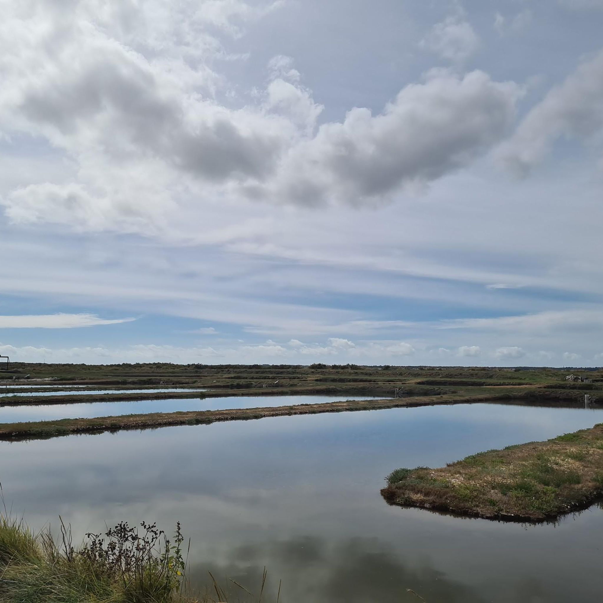
Gravel biking around Bourcefranc-Le-Chapus offers diverse terrain across coastal scenery, extensive marshlands, and areas shaped by oyster farming. The region features flat paths through oyster beds and purification basins, providing unique views of the local industry. Coastal routes along the Pertuis sea offer rides with sea breezes and views towards Oléron Island. This landscape provides varied surfaces suitable for gravel cycling.
Best gravel bike trails around Bourcefranc-Le-Chapus
- The most popular gravel bike trail is Chemin de la Charente – Rochefort…
Last updated: May 22, 2026
4.0
(4)
42
riders
Moderate gravel ride. Good fitness required. Mostly paved surfaces. Suitable for all skill levels.
4.8
(5)
36
riders
46.3km
02:20
80m
80m
Moderate gravel ride. Good fitness required. Mostly paved surfaces. Suitable for all skill levels.

Sign up for free
4.0
(3)
46
riders
Moderate gravel ride. Good fitness required. Mostly paved surfaces. Suitable for all skill levels.
5.0
(2)
42
riders
Easy gravel ride. Great for any fitness level. Mostly paved surfaces. Suitable for all skill levels.
4.0
(1)
19
riders
Hard gravel ride. Good fitness required. You may need to push your bike for some segments of this route.
Get access to more routes and recommendations from other explorers.
Sign up for free
Already have an account?
Our route recommendations are based on thousands of hikes, rides, and runs completed by other people on komoot.
Start today with a free account
Your next adventure awaits.
Login or Signup
Tips from the Community

Located on the commune of St-Palais-sur-Mer, at the tip of Terre-Nègre, it is intended to mark the southern passage of the Gironde estuary and to signal the presence of a dangerous sandbank, the la barre à l'Anglais.
0
0

The carrelets of Saint-Palais-sur-Mer are among the most emblematic elements of the Charente coastline. Their history blends traditional fishing, tourist development, and local heritage. 🐟 Origin of the carrelets Originally, the word "carrelet" referred to a square fishing net used since the 17th century. A precise description can be found as early as 1769, in the writings of the scholar Henri-Louis Duhamel du Monceau, who mentioned this type of fishing on the Saintonge coast. 👉 At that time, these were not yet the current huts, but simply a net operated from rudimentary structures. ⚓ Artisanal fishing structures The first local carrelets were simple wooden platforms, built by the fishermen themselves to stand above the water. They were mainly used to catch shrimp, fish, and crabs near the shore, without going out to sea. 👉 It was a family and coastal fishery, less dangerous than sea fishing. 🏖️ 19th – early 20th century: transition to a leisure activity At the turn of the 20th century, with the rise of seaside resorts like Saint-Palais, the carrelets evolved. Holidaymakers and notable figures adopted this practice: construction of fixed jetties, appearance of huts on stilts. The carrelets then became places for relaxation as much as for fishing. 👉 They already contributed to the postcard image of the coast. 🪵 After 1945: democratization and multiplication After the Second World War, the number of carrelets increased sharply. They became a symbol of popular leisure and conviviality. The transition was gradually made from a means of subsistence to a recreational activity. 🌊 Storms and reconstruction The carrelets are fragile in the face of storms: 1999: massive destruction (up to 90% in some areas) 2010 (Xynthia storm): new damage Many have been rebuilt identically, respecting tradition. 🏛️ Today: protected heritage In Charente-Maritime, there are about 400 carrelets. They are: integrated into the public maritime domain allocated by administrative authorization (often renewed every 5 years) Since 2018, they have been recognized as cultural heritage of the department. 👉 In Saint-Palais, they can be observed in particular: at Pont du Diable at the conche du Concié at the Puits de l’Auture
0
0

my favorite playground in the great outdoors
0
0

You can rent boats for a closer look at the salt pans, and there are excellent bars for refreshments! https://www.port-des-salines.fr/
1
0

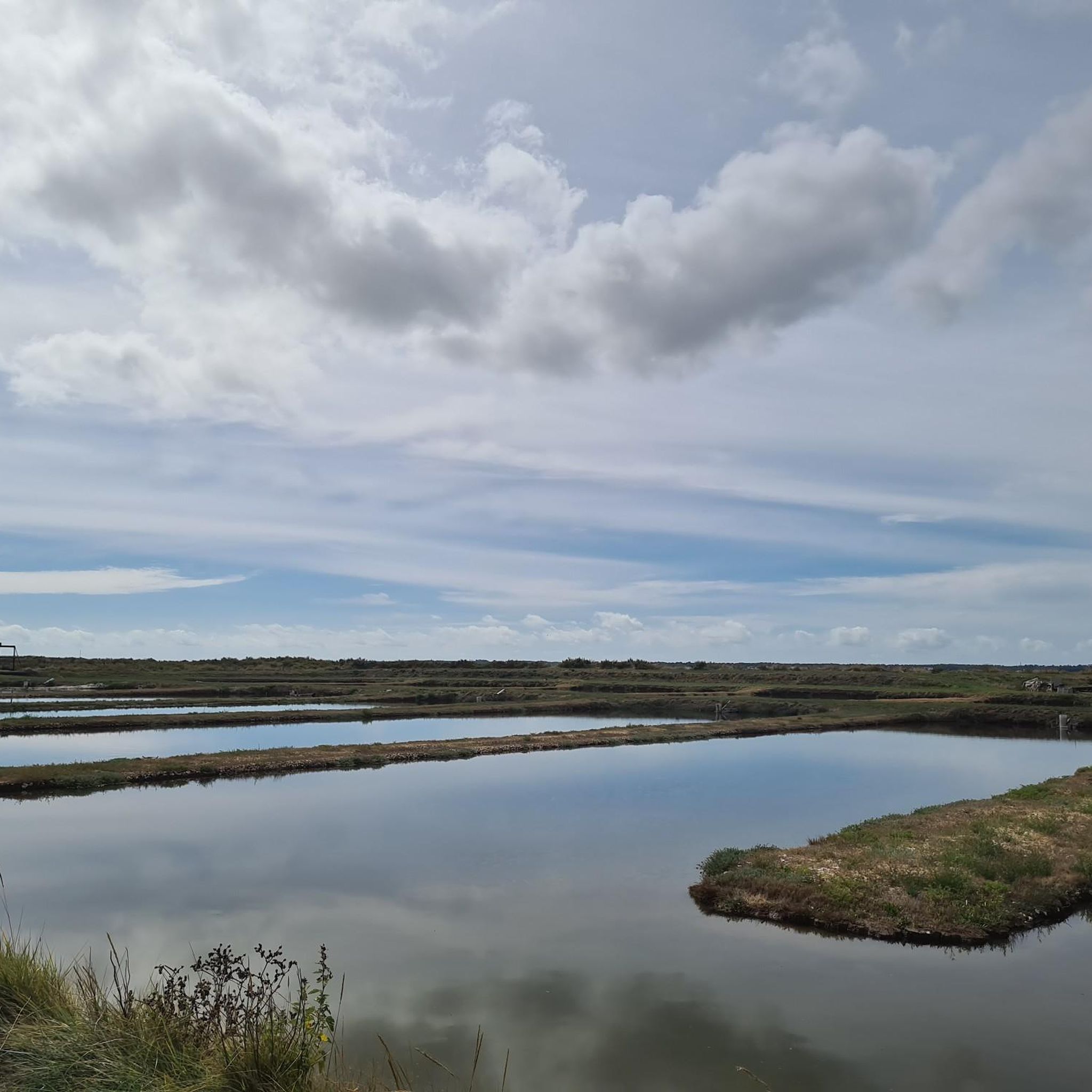
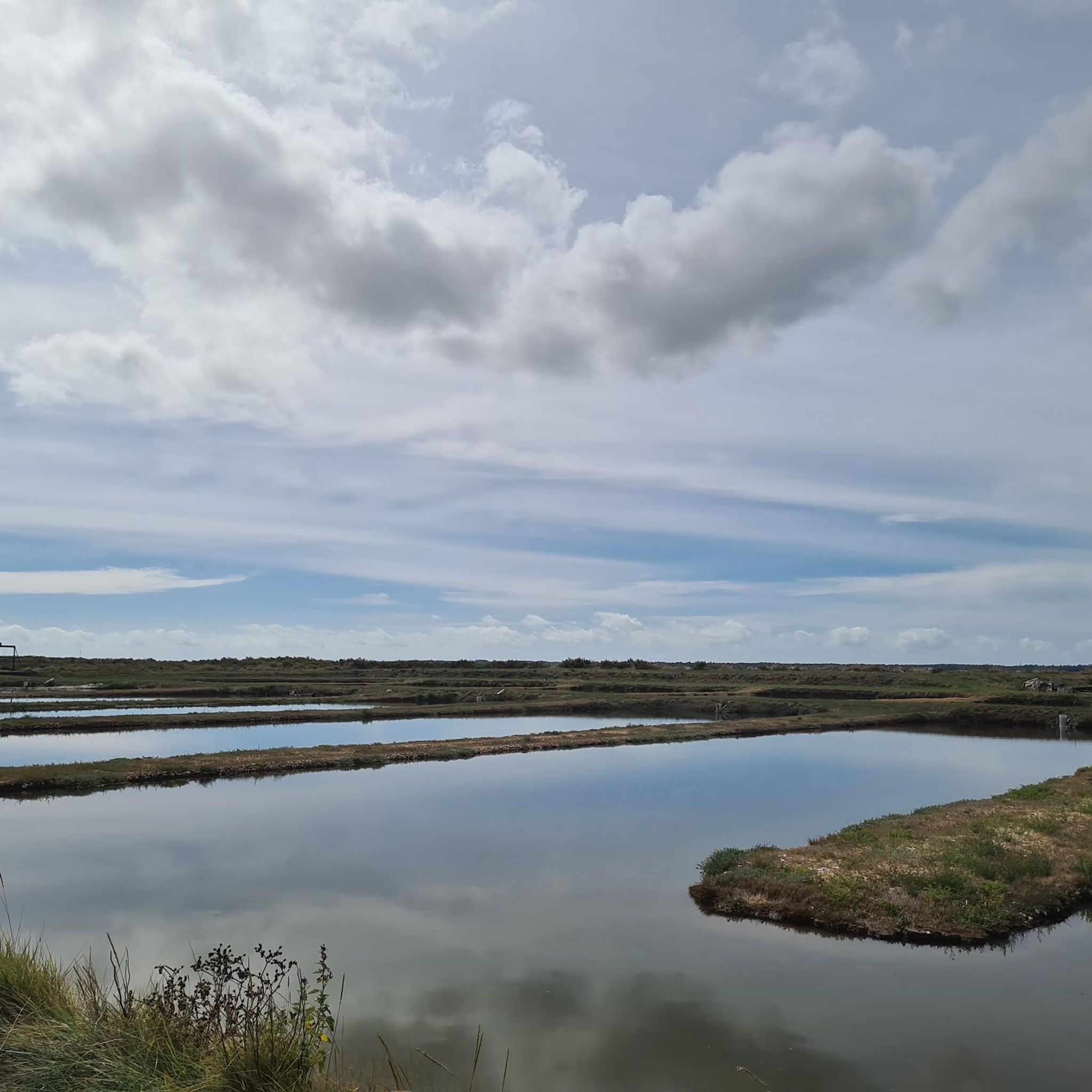
Here you can observe local sea salt production. There's a small hiking trail between the sea salt fields and a shop where you can sample and purchase fresh sea salt.
0
0

A beautiful trail with pine scents. A real treat.
0
0

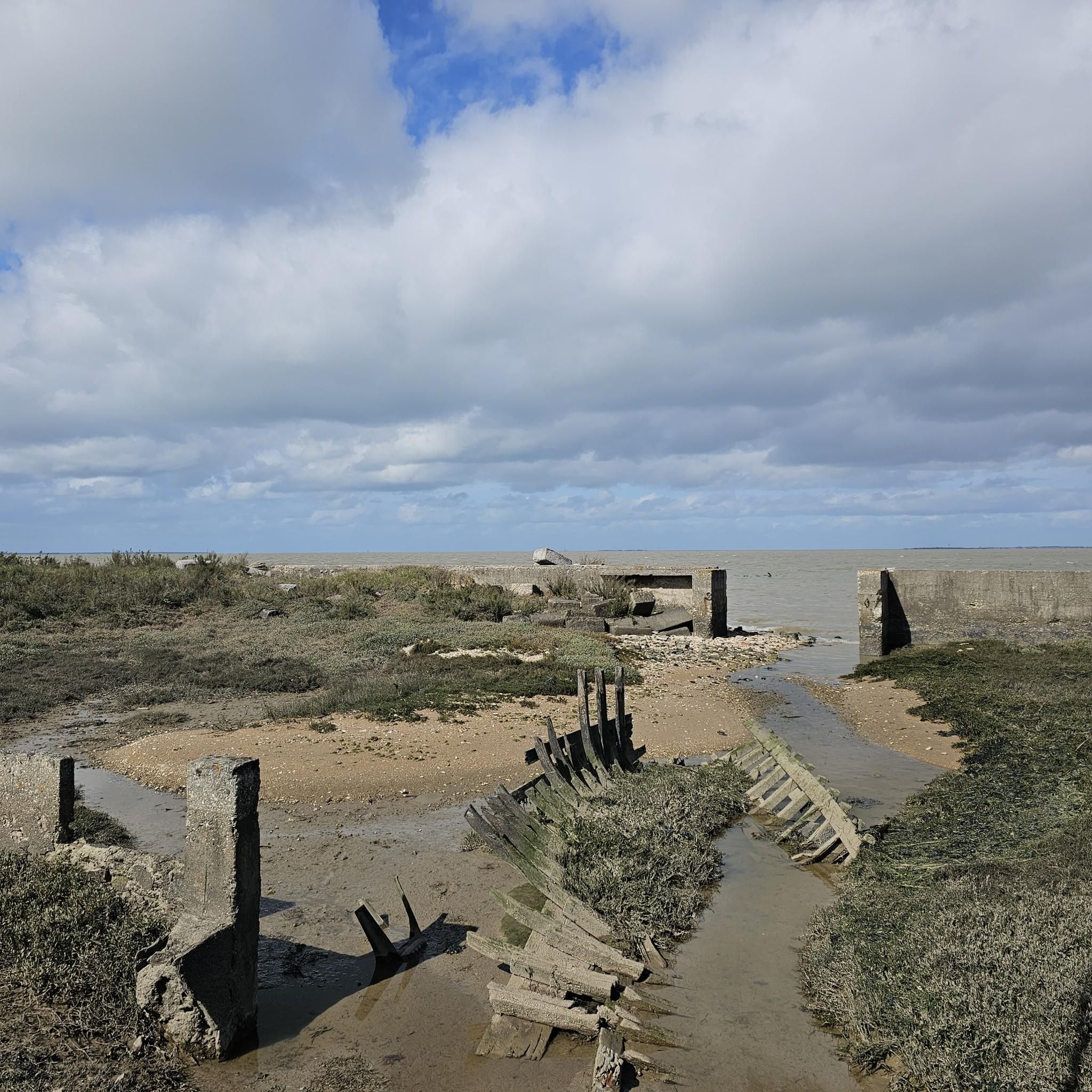
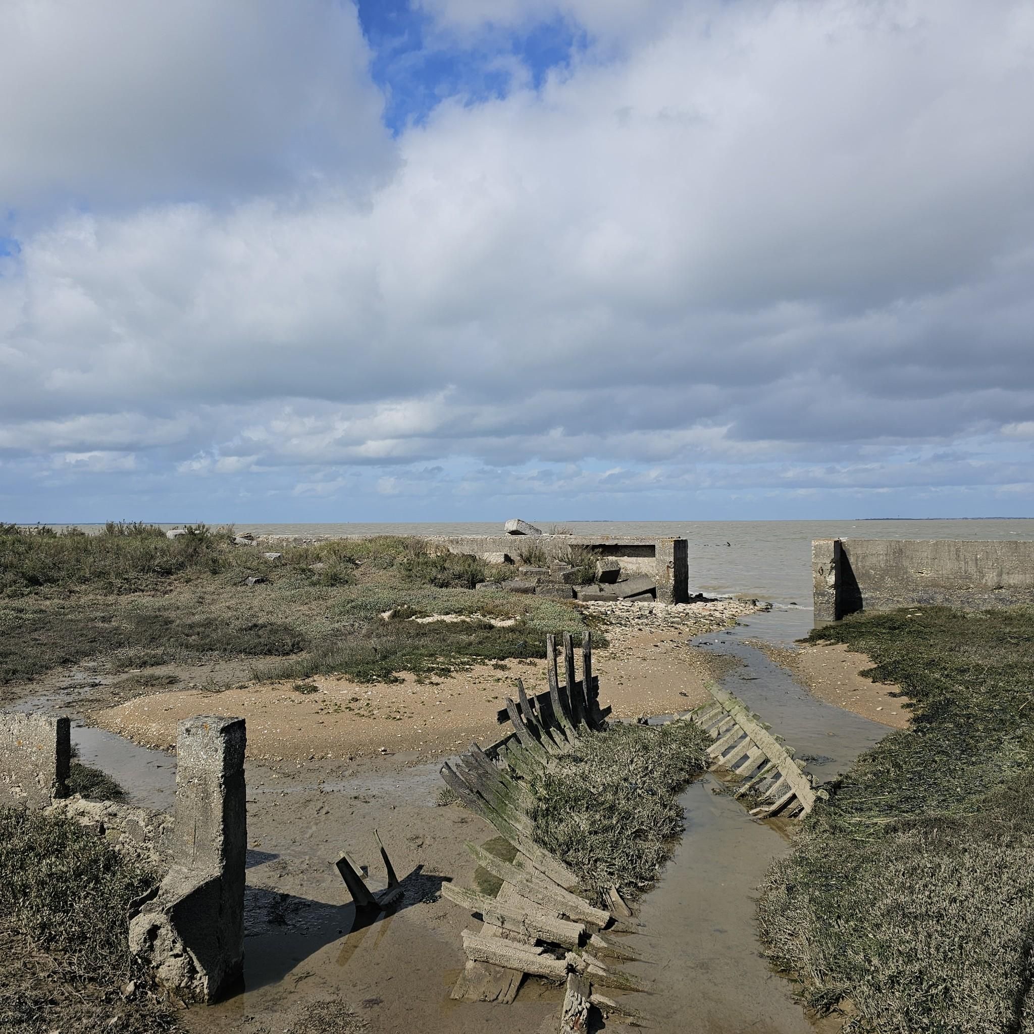
Easily accessible place, only the last meters are prohibited for cyclists.
0
0
Frequently Asked Questions
How many gravel bike trails are available around Bourcefranc-Le-Chapus?
There are nearly 40 gravel bike routes around Bourcefranc-Le-Chapus, offering a variety of experiences through oyster marshes, coastal paths, and views towards Île d'Oléron. These routes cater to different skill levels, with 14 easy, 20 moderate, and 4 difficult options.
What kind of terrain can I expect on gravel bike trails in Bourcefranc-Le-Chapus?
The terrain around Bourcefranc-Le-Chapus is quite diverse. You'll find extensive flat paths through the unique oyster marshes, where you can ride alongside oyster beds and purification basins. There are also scenic coastal paths along the Pertuis sea, offering refreshing breezes and views towards Oléron Island. The routes combine these varied surfaces, making them ideal for gravel cycling.
Are there any family-friendly gravel biking routes in the area?
Yes, Bourcefranc-Le-Chapus offers several family-friendly options, particularly the flatter routes through the oyster marshes and along the coast. These paths are generally easy and provide a safe environment for families to enjoy cycling together. For example, the Oléron Island Bridge – Château-d'Oléron Citadel loop is an easy 26.3 km ride that's accessible from the area.
What are some notable landmarks or attractions I can see while gravel biking?
You can encounter several interesting landmarks. The 17th-century sea fort, Château-d'Oléron Citadel, is a significant historical site. You might also pass by the picturesque Brouage Citadel or the iconic Oléron Island Bridge. For a unique cultural experience, explore the traditional oyster huts, such as the Baudissière Huts, which are characteristic of the region's oyster farming heritage.
What do other gravel bikers enjoy most about the trails in Bourcefranc-Le-Chapus?
The area is highly rated by the komoot community, with an average score of 4.4 stars from over 85 reviews. Reviewers often praise the unique experience of cycling through the oyster marshes, the scenic coastal views, and the diverse network of paths that cater to various skill levels.
Are there any circular gravel routes available?
Yes, many of the gravel routes in Bourcefranc-Le-Chapus are designed as loops, allowing you to start and end at the same point. An example is the Rochefort Transporter Bridge – Marais de Brouage loop from Bourcefranc-le-Chapus, which offers a moderate 52 km ride through varied landscapes.
Where can I find parking for gravel biking trailheads?
Parking is generally available in Bourcefranc-Le-Chapus and at various starting points for the routes. Many routes begin from towns or villages with designated parking areas. For specific routes, checking the tour details on komoot will often provide information about suitable starting points and parking options.
What is the best time of year to go gravel biking in Bourcefranc-Le-Chapus?
The spring and autumn months are generally ideal for gravel biking in Bourcefranc-Le-Chapus. The weather is typically mild, and the landscapes are vibrant. Summer can also be pleasant, especially along the coast with sea breezes, but it can get busier. Winters are generally mild but can be wetter.
Can I combine my gravel biking trip with other activities or attractions?
Absolutely! The region offers a rich blend of activities. You can visit Fort Louvois, a 17th-century sea fort accessible at low tide, or explore the charming old port of Vieux Chapus with its traditional houses. The Moulin de la Plataine, a restored windmill, also offers guided tours. For insights into the local industry, the nearby 'Cité de l'Huître' in Marennes provides information on oyster production.
Are there any longer, more challenging gravel routes for experienced riders?
Yes, for experienced riders seeking a challenge, there are longer and more difficult routes. The Wild Coast of La Tremblade – Carrelets de Royan loop from Le Train des Mouettes - La Tremblade is an 81.2 km difficult route that provides a more demanding experience with greater elevation changes.
Is it possible to access these gravel trails using public transport?
While Bourcefranc-Le-Chapus has some local public transport options, direct access to specific gravel trailheads might be limited. It's advisable to check local bus schedules or consider bringing your bike on regional trains if available to reach the general area. Many visitors opt to drive to a starting point and park.
What makes the oyster marshes unique for gravel biking?
The oyster marshes, such as those around the Daire site, offer a truly unique gravel biking experience. You'll ride through flat terrain alongside rows of wooden huts on stilts, oyster purification basins known as 'Les Claires,' and fish tanks. The waters in these areas often have a distinctive greenish hue due to a special algae, providing a picturesque and immersive insight into the region's primary industry.
Most popular routes around Bourcefranc-Le-Chapus
Most popular attractions around Bourcefranc-Le-Chapus

Get inspired with the komoot mobile app


Explore more
Browse the best Gravel rides in other regions.
