The best gravel rides around Laveline-Devant-Bruyères
3.2
(4)
20
riders
3
rides
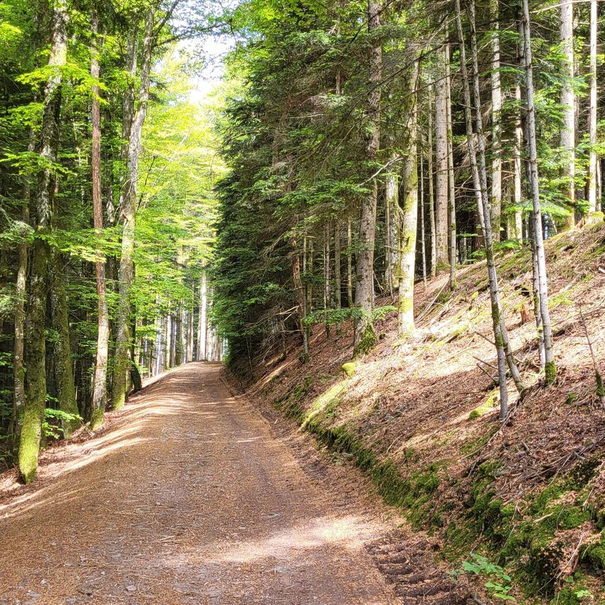
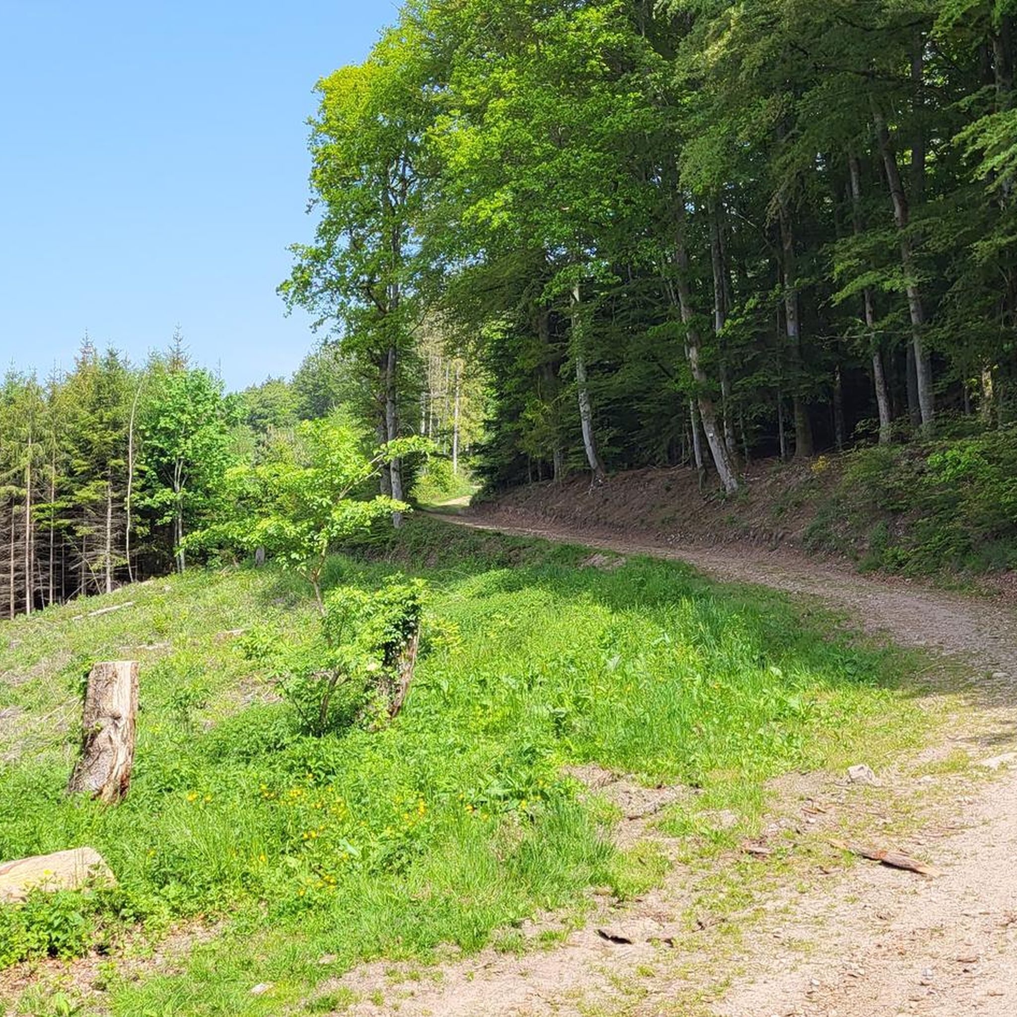
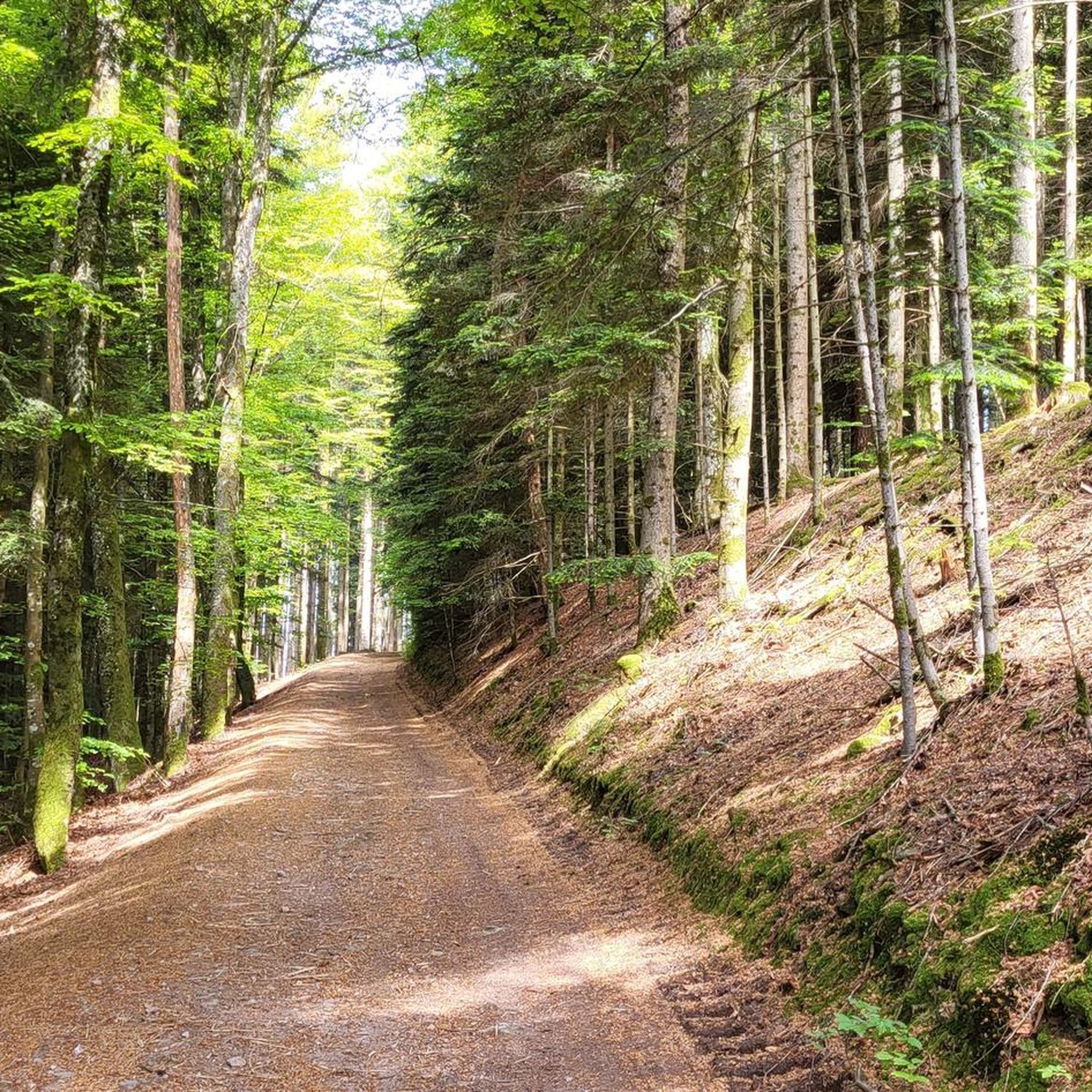
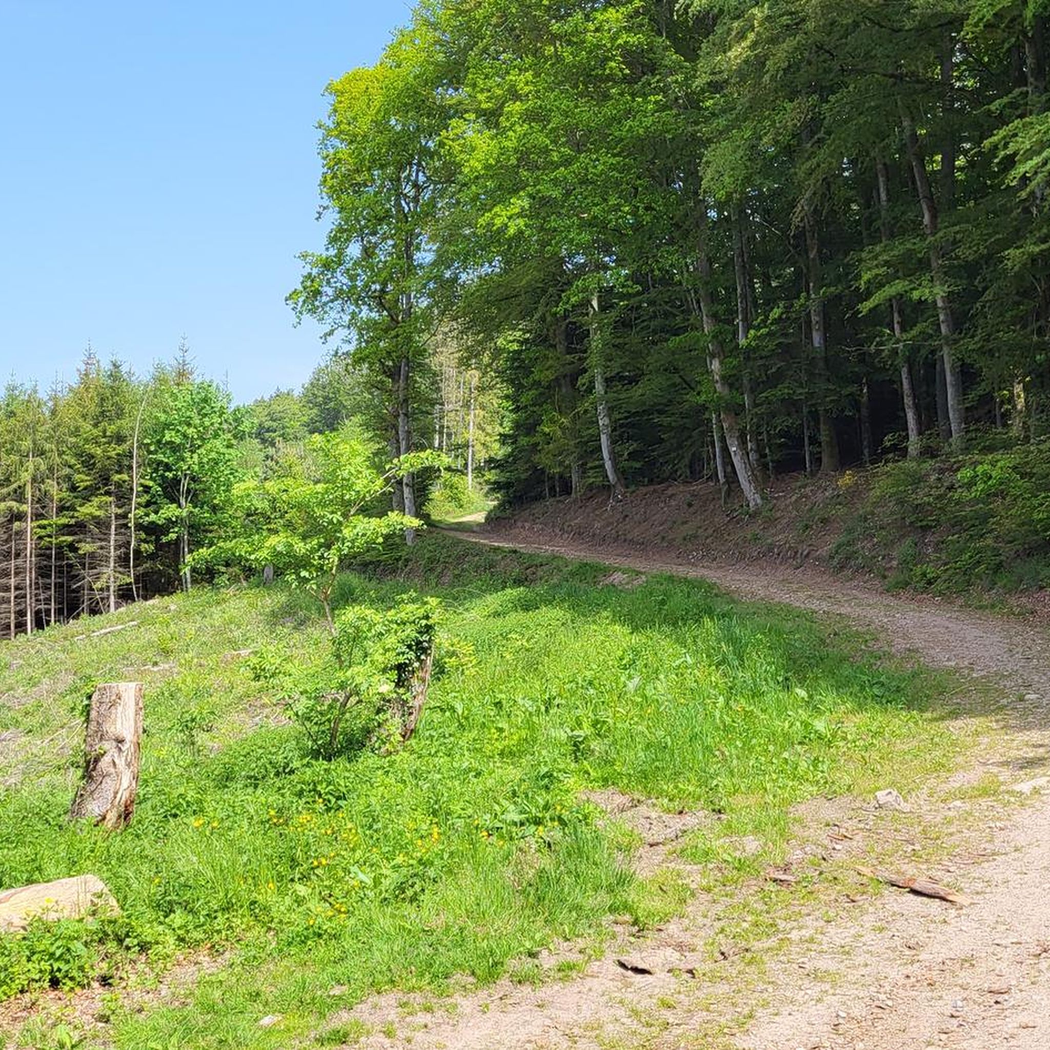
Gravel biking around Laveline-Devant-Bruyères offers routes through the varied terrain of the Vosges mountains. The region is characterized by dense forests, rolling hills, and picturesque valleys, providing a diverse backdrop for outdoor activities. Extensive forestry tracks, originally developed for industry, offer varied riding experiences with significant elevation changes. The landscape also features natural springs, small streams, and views of nearby lakes.
Best gravel bike trails around Laveline-Devant-Bruyères
- The most popular gravel bike trail is Ant Mountain – I See Life…
Last updated: July 2, 2026
5
riders
30.2km
02:02
450m
450m
Moderate gravel ride. Good fitness required. Mostly paved surfaces. Suitable for all skill levels.
4.0
(1)
5
riders
Moderate gravel ride. Good fitness required. Mostly paved surfaces. Suitable for all skill levels.

Sign up for free
2
riders
27.5km
02:04
510m
510m
Hard gravel ride. Very good fitness required. Mostly paved surfaces. Suitable for all skill levels.
1.0
(1)
1
riders
24.1km
01:57
580m
580m
Hard gravel ride. Very good fitness required. Mostly paved surfaces. Suitable for all skill levels.
2
riders
19.6km
01:38
480m
490m
Hard gravel ride. Very good fitness required. Mostly paved surfaces. Suitable for all skill levels.
Our route recommendations are based on thousands of hikes, rides, and runs completed by other people on komoot.
Start today with a free account
Your next adventure awaits.
Login or Signup
Tips from the Community

Also serves coffee for great prices
0
0

Fine as part of a route from Gerardmeer
1
0
Lake where you can swim and fish. Or just cycle along, of course
2
0

Small lake formed from the Le Rayrand river. It is a very nice place to stop for a break and enjoy the view.
2
0
The Col d'Arrentes from Corcieux is 3.4 km long with a total drop of 682 m. The average gradient is 4.1% with maximum gradients of 7%.
3
0

Easy pass with little traffic and a very beautiful panorama over the Corcieux valley
0
0

Very nice campsite on the Lac de Messires. Quite small, from Dutch owners. No animation or swimming pool scenes, but nice SUPing, canoeing or swimming in the lake. We had a wonderful time there.
0
0

Beautiful area. Possibility to go around the body of water in VTC or mountain bike but also on foot.
1
0
Frequently Asked Questions
What is the general difficulty level of gravel bike trails around Laveline-Devant-Bruyères?
The gravel bike trails in this region are generally geared towards more experienced riders. There are no easy routes listed; instead, you'll find 3 moderate and 2 difficult routes, characterized by significant elevation changes and mountain passes within the Vosges mountains.
What are the typical lengths and durations of gravel bike routes in the area?
The routes around Laveline-Devant-Bruyères tend to be longer and more demanding. For instance, the Ant Mountain – I See Life in Vosges loop from Laveline-devant-Bruyères is about 30.2 km (18.8 miles) and takes around 2 hours. Other routes, like the Lac de Retournemer – Col de la Schlucht loop from Réserve biologique intégrale du Kertoff, can be up to 71 km (44.1 miles) and take over 5 hours to complete.
Are there any family-friendly gravel biking options near Laveline-Devant-Bruyères?
Given the terrain and the listed routes, which are categorized as moderate to difficult with significant climbs, truly family-friendly options suitable for young children or absolute beginners are limited. Most routes involve challenging sections through mountainous terrain.
What kind of scenery can I expect on the gravel bike trails?
You can expect diverse and beautiful scenery, including dense forests, numerous lakes, and panoramic views from mountain passes. The region is part of the Vosges mountains, offering a mix of natural landscapes and challenging terrain.
What are some notable natural attractions or landmarks I might see along the trails?
While cycling, you might encounter natural highlights such as the Little Waterfall of Tendon or the Tendon waterfalls loop. Another unique natural monument in the vicinity is Champ de Roches.
Are there any circular gravel bike routes available?
Yes, all the featured gravel bike routes in this guide are circular, allowing you to start and end at the same point. Examples include the Lake Longemer – Wonderful view loop from Réserve biologique intégrale du Kertoff and the Climb Col de Grosse Pierre – View of Lake Lispach loop from Corcieux.
What is the best season for gravel biking in Laveline-Devant-Bruyères?
The best season for gravel biking in the Vosges mountains is typically from late spring to early autumn (May to October). During these months, the weather is generally milder, and trails are free from snow and ice, making for more enjoyable and safer riding conditions.
What are the winter conditions like for gravel cycling in this region?
Winter conditions in the Vosges mountains can be challenging for gravel biking. Trails may be covered in snow or ice, especially at higher elevations and in dense forest sections, making them potentially impassable or hazardous. It's advisable to check local weather and trail conditions before planning a winter ride.
Are there places to stop for food or drinks along the gravel bike routes?
While specific cafes are not listed directly on the routes, the region is popular with outdoor enthusiasts. It's always a good idea to carry sufficient water and snacks, especially on longer routes. You may find small eateries or shops in the villages you pass through, but planning ahead is recommended.
Where can I find parking for gravel bike trails in the area?
Many routes start from established points like Réserve biologique intégrale du Kertoff, Corcieux, or Laveline-devant-Bruyères itself. These locations typically offer parking facilities for visitors. It's best to check the specific tour details on komoot for recommended starting points and parking information.
How many gravel bike trails are available around Laveline-Devant-Bruyères?
There are 5 gravel bike routes available around Laveline-Devant-Bruyères, offering a range of moderate to difficult challenges through the Vosges mountains.
What do other gravel bikers enjoy most about the trails in Laveline-Devant-Bruyères?
The area is highly rated by the komoot community, with an average score of 4.5 stars. Riders often praise the varied terrain, the challenging climbs, and the beautiful lake views and forest sections encountered on routes like the Hohneck – Lake Retournemer loop from Réserve biologique intégrale du Kertoff.
Most popular routes around Laveline-Devant-Bruyères
Most popular attractions around Laveline-Devant-Bruyères

Get inspired with the komoot mobile app


Explore more
Browse the best Gravel rides in other regions.
