The best gravel rides around La Gouesnière
4.6
(74)
713
riders
33
rides
Gravel biking around La Gouesnière offers diverse terrain, from coastal paths along the Emerald Coast and Estuaire de la Rance to routes through inland forests. The region features a network of varied surfaces, including paved sections and unpaved paths, suitable for gravel bikes. Riders can explore a landscape characterized by waterways, marshes, and gentle elevations, providing a range of experiences for different skill levels.
Best gravel bike trails around La Gouesnière
- The most popular gravel bike trail is View of…
Last updated: July 3, 2026
4.6
(31)
294
riders
Moderate gravel ride. Good fitness required. Mostly paved surfaces. Suitable for all skill levels.
5.0
(3)
60
riders
108km
05:30
340m
340m
Hard gravel ride. Very good fitness required. Mostly paved surfaces. Suitable for all skill levels.

Sign up for free
4.4
(5)
22
riders
Hard gravel ride. Good fitness required. You may need to push your bike for some segments of this route.
5.0
(1)
11
riders
62.4km
03:16
260m
260m
Moderate gravel ride. Good fitness required. Mostly paved surfaces. Suitable for all skill levels.
5.0
(1)
7
riders
Easy gravel ride. Great for any fitness level. Mostly paved surfaces. Suitable for all skill levels.
Get access to more routes and recommendations from other explorers.
Sign up for free
Already have an account?
Our route recommendations are based on thousands of hikes, rides, and runs completed by other people on komoot.
Start today with a free account
Your next adventure awaits.
Login or Signup
Tips from the Community

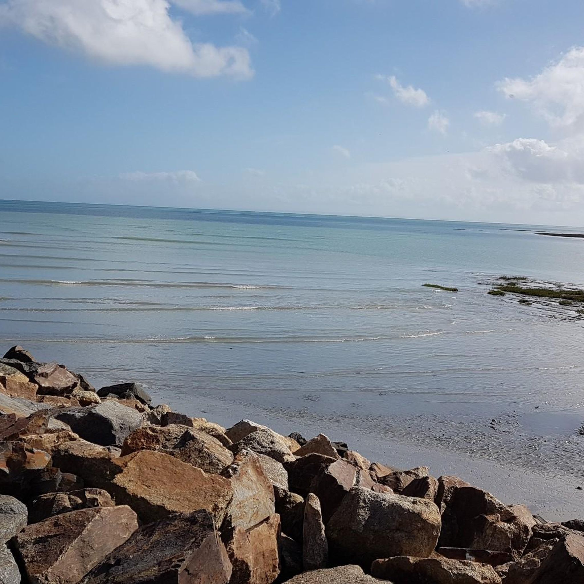
From there it looks the strongest !!!
0
0

This is all about oysters. The bay is full of oyster beds, which are immediately consumed at the harbor.
0
0

Highest point of the Agglomeration of Saint-Malo, view over the Rance estuary. Numerous nearby trails on foot or MTB/Gravel
0
0

If there's a remarkable site that's worth a detour, it's Mont St Michel!
0
0

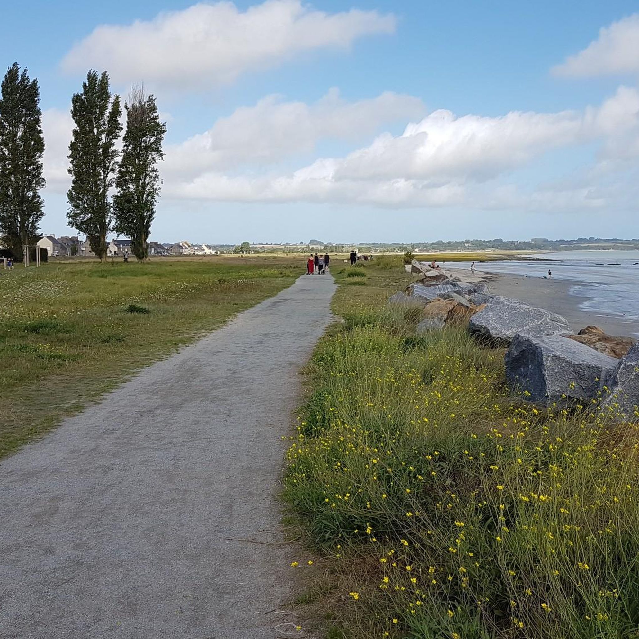
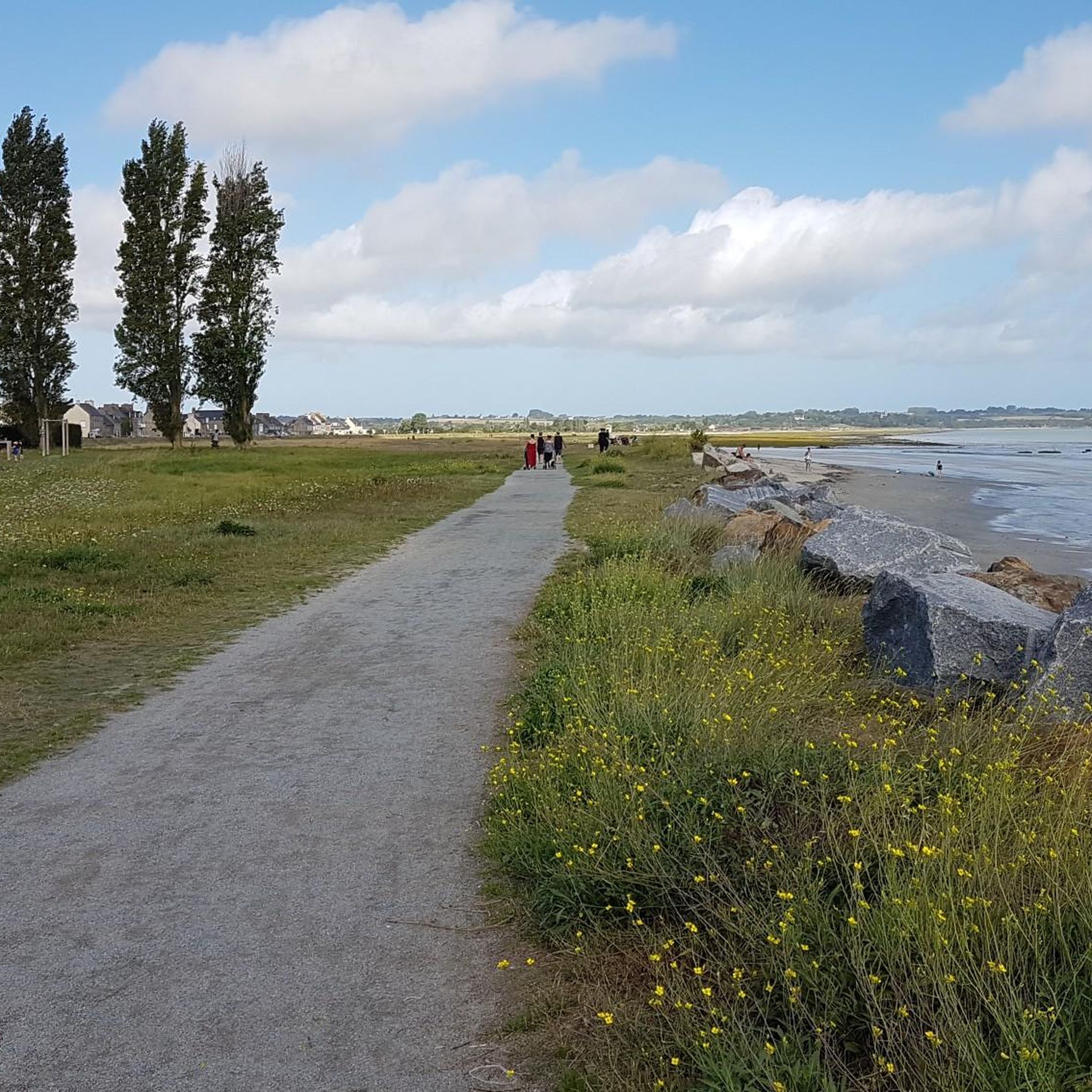
very nice cycle path in the shade
0
0

This greenway between Mont Saint-Michel and Pontorson alternates between magnificent stretches with unobstructed views and shaded sections with bucolic charm. Away from road traffic, this section reveals the unique calm of nature.
0
0

At 3 km long, this is the largest sandy beach in Saint-Malo. Walking along this beach, you can reach Intra-Muros in Paramé. Sillon Beach includes Grande Plage, Hoguette Beach, and Rochebonne Beach. La Digue was built from 1883 to 1913 on an old sandbar (the Sillon) that once connected Paramé to the walled city and provided the only dry-land access at low tide. Originally, a strip of sand was covered with dunes that grew higher and higher as one moved toward Rochebonne, with only a succession of windmills remaining. The first causeway was built in 1509, rebuilt and widened several times... Le Digue, 1,671 meters long, runs along Grande Plage and offers a pleasant stroll, lined with numerous villas built towards the end of the 19th century. Along the Sillon, a line of breakwaters protects the seawall from the force of the waves. Built in the early 19th century based on an idea by the civil engineer Robinault de St-Servan, the oak breakwaters have a depth at least equal to, or even greater than, their visible height.
2
0
Yes, unfortunately, the building is falling apart. It's a shame no one is saving it.
1
0
Frequently Asked Questions
How many gravel bike trails are there in La Gouesnière?
There are over 60 gravel bike trails available around La Gouesnière. These routes offer a variety of experiences, from easier rides to more challenging adventures, catering to different skill levels.
What kind of terrain can I expect on gravel bike trails around La Gouesnière?
The terrain around La Gouesnière is quite diverse, offering a mix of coastal paths, estuarine landscapes, and forested sections. You can expect a blend of paved roads and unpaved paths, with some sections potentially featuring roots or muddy patches, especially along coastal or forest trails. The region's varied landscape includes the Emerald Coast, the Estuaire de la Rance, and inland forests like Broualan.
Are there any family-friendly gravel biking options in La Gouesnière?
While specific 'family-friendly' designations aren't always explicit, La Gouesnière offers a range of routes, including 11 classified as 'easy'. These easier routes typically have less elevation gain and shorter distances, making them more suitable for families or those looking for a relaxed ride. Always check the route details for distance and elevation to ensure it matches your family's capabilities.
What are some scenic viewpoints or natural features I can see while gravel biking?
La Gouesnière is rich in natural beauty. You can find stunning coastal views from points like Pointe du Meinga, Barbe Brûlée Point, and La Pointe du Puits. The region also features diverse waterways, including the Rance river and its estuary, and green spaces like Parc de la Briantais and the Broualan forest, which offer tranquil riding environments.
Are there any challenging gravel routes for experienced riders?
Yes, for experienced gravel bikers seeking a challenge, there are 21 routes classified as 'difficult' around La Gouesnière. One such route is the Port of Dinan – The Port of Dinan loop from La Gouesnière - Cancale - Saint-Méloir-des-Ondes, which covers 71.8 km with significant elevation changes, making it a demanding ride. These routes often feature greater elevation and more technical sections.
What is the best time of year to go gravel biking in La Gouesnière?
Brittany, where La Gouesnière is located, offers good gravel biking opportunities throughout much of the year. Spring and autumn generally provide pleasant temperatures and beautiful scenery. While coastal routes can be enjoyed in summer, be mindful of potential crowds. Winter riding is possible, but some trails might be muddier or more technical due to weather conditions.
Are there any circular gravel bike routes available?
Yes, many gravel bike routes around La Gouesnière are designed as loops, allowing you to start and finish at the same point. For instance, the The Bay of Mont-Saint-Michel – Mont-Dol loop from Le Vaulerault is a popular circular route that takes you through varied terrain with views towards Mont-Saint-Michel. Another option is the Chapelle Sainte-Anne – Moulin de la Saline loop from La Fresnais.
What attractions or towns can I visit along the gravel bike routes?
Many gravel routes pass by or near charming towns and attractions. You can explore the historic city of Saint-Malo, known for its unique character and sites like Saint-Malo Castle and Saint-Vincent Gate. Cancale, famous for its oysters, is also nearby. Other points of interest include the picturesque village of Saint-Suliac on the Rance estuary and the historic town of Dol-de-Bretagne. Coastal routes might also lead you to beaches like Môle Beach or Sillon Beach.
What do other gravel bikers say about the trails in La Gouesnière?
The gravel biking routes in La Gouesnière are highly rated by the komoot community, with an average score of 4.4 stars from over 90 reviews. More than 600 gravel bikers have used komoot to explore the varied terrain, often praising the diverse landscapes, from coastal paths to forest trails, and the opportunities to discover local landmarks and scenic viewpoints.
What kind of elevation changes should I expect on the trails?
The elevation changes on gravel trails around La Gouesnière vary significantly depending on the route's difficulty. Easier routes might have minimal elevation gain, while moderate routes like the Moulin de la Saline – Chapelle Sainte-Anne loop from La Gouesnière - Cancale - Saint-Méloir-des-Ondes involve around 74 meters of ascent. More difficult routes, such as the Port of Dinan – The Port of Dinan loop from La Gouesnière - Cancale - Saint-Méloir-des-Ondes, can feature over 570 meters of climbing, offering a more strenuous workout.
Are there any long-distance gravel biking options?
Yes, La Gouesnière offers several longer gravel biking routes. For instance, the View of Cancale and Its Harbor – Cancale loop from La Gouesnière - Cancale - Saint-Méloir-des-Ondes is a substantial 90.8 km ride, providing a full day's adventure with views of Cancale and its harbor. These longer routes allow for extensive exploration of the region's diverse landscapes.
Most popular routes around La Gouesnière
Most popular attractions around La Gouesnière

Get inspired with the komoot mobile app


Explore more
Browse the best Gravel rides in other regions.
