The best road cycling routes around Kadenbach
4.5
(602)
9,349
riders
186
rides
Road cycling around Kadenbach features a landscape characterized by rolling hills, river valleys, and wooded areas. The region offers a variety of terrain suitable for road cyclists, from routes following river paths to those with more significant elevation changes. Many routes traverse the Westerwald forest and connect to nearby towns and natural features.
Best road cycling routes around Kadenbach
- The most popular road cycling route is Entrance to the Ruppertsklamm – Mühlental Path loop from Kadenbach, a 25.5 miles…
Last updated: October 5, 2026
4.6
(30)
676
riders
41.1km
02:01
520m
520m
Moderate road ride. Good fitness required. Mostly well-paved surfaces and easy to ride.
5.0
(1)
70
riders
38.8km
02:05
760m
760m
Moderate road ride. Good fitness required. Some segments of this route may be unpaved and difficult to ride.

4.8
(4)
50
riders
46.2km
02:25
860m
860m
Moderate road ride. Good fitness required. Mostly well-paved surfaces and easy to ride.
4.0
(3)
59
riders
34.4km
01:50
620m
630m
Moderate road ride. Good fitness required. Mostly well-paved surfaces and easy to ride.
5.0
(3)
43
riders
22.7km
01:07
350m
350m
Moderate road ride. Good fitness required. Mostly well-paved surfaces and easy to ride.
Get access to more routes and recommendations from other explorers.
Already have an account?
Our route recommendations are based on thousands of hikes, rides, and runs completed by other people on komoot.
Start today with a free account
Your next adventure awaits.
Popular around Kadenbach
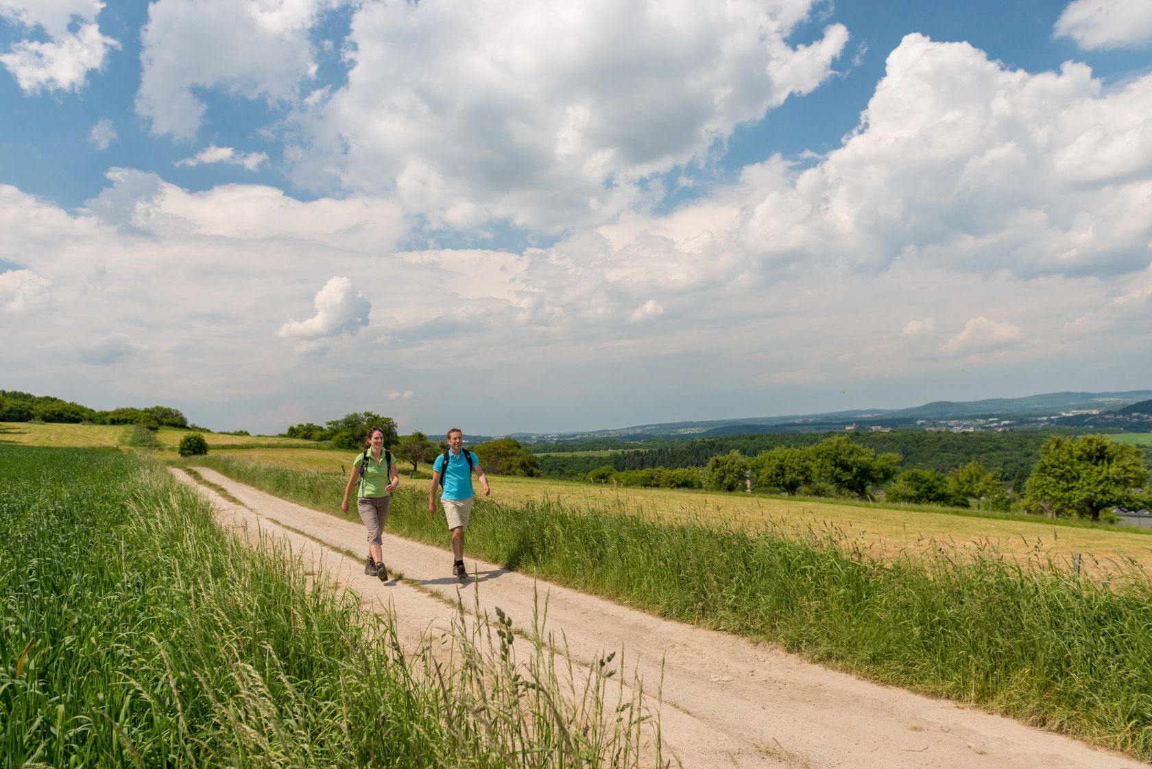
Wäller Tours – excellent hiking in the Westerwald
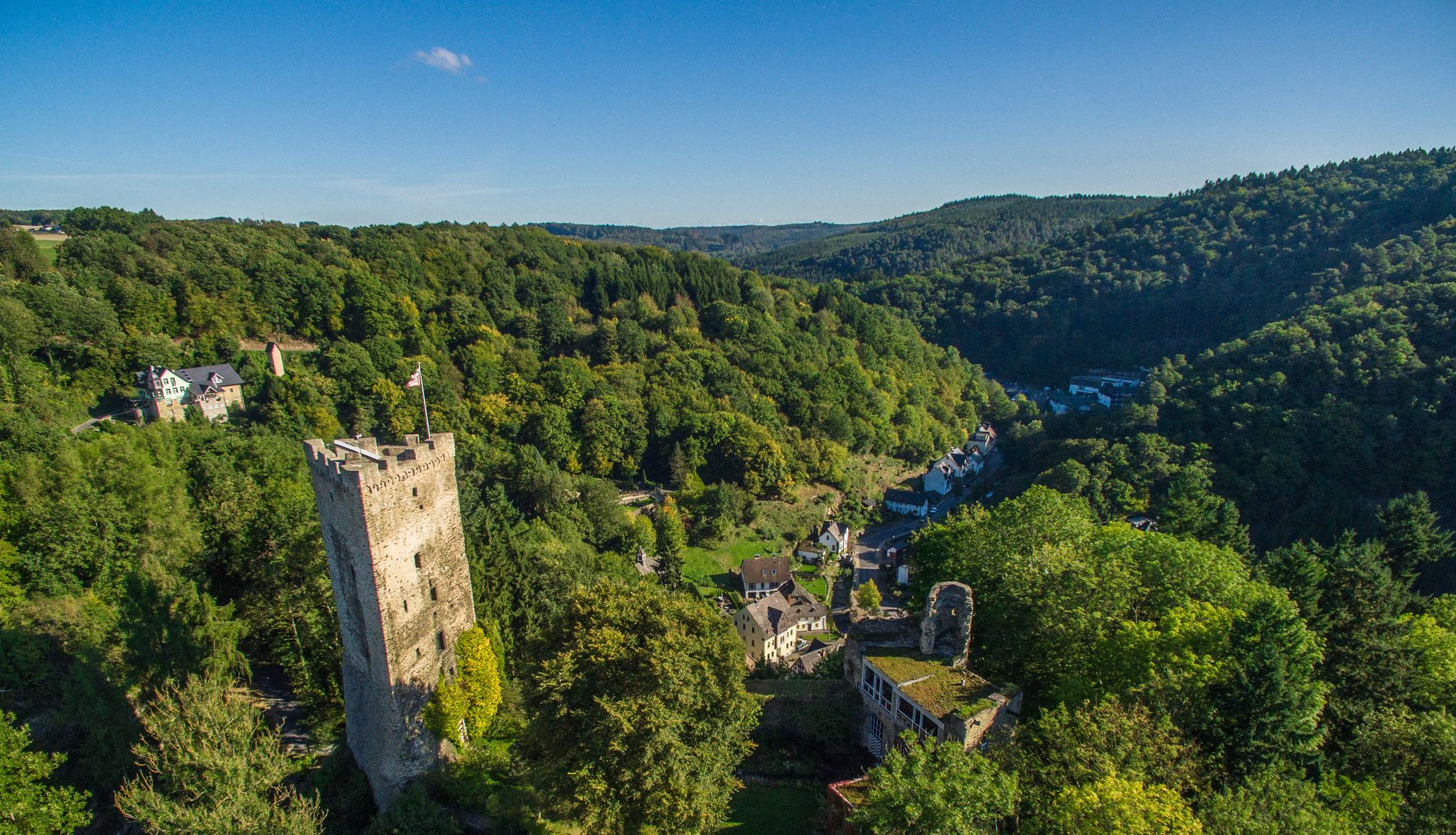
Oh, wonderful Westerwald – 10 hikes between Cologne and Frankfurt
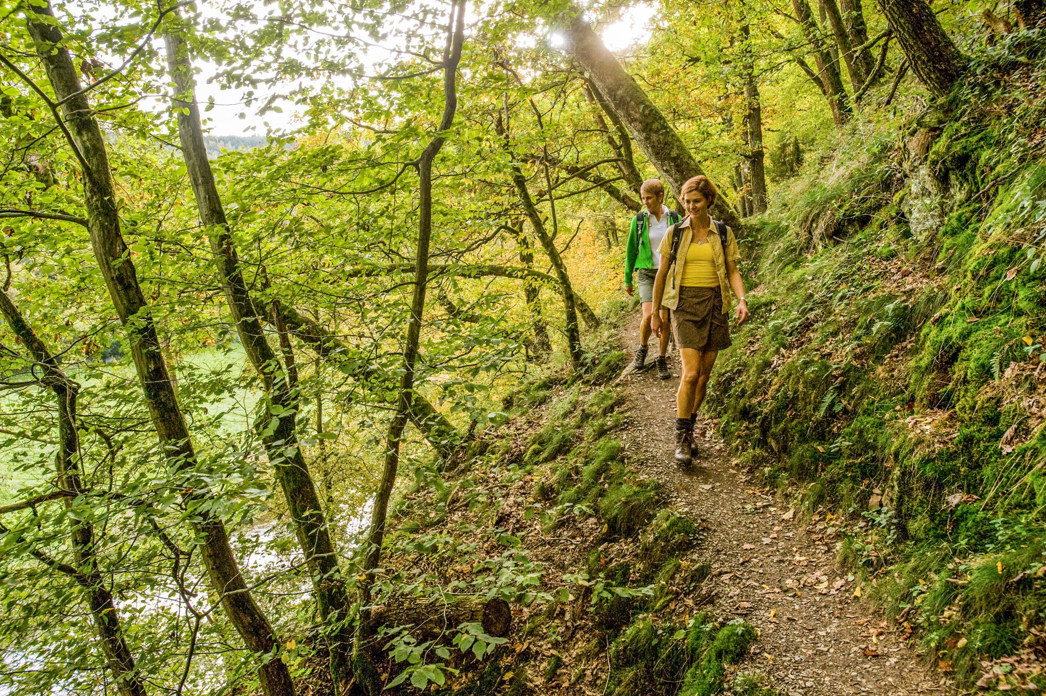
Wonderful unspoilt nature – 12 day hikes in the Westerwald mountains
MTB Trails around Kadenbach
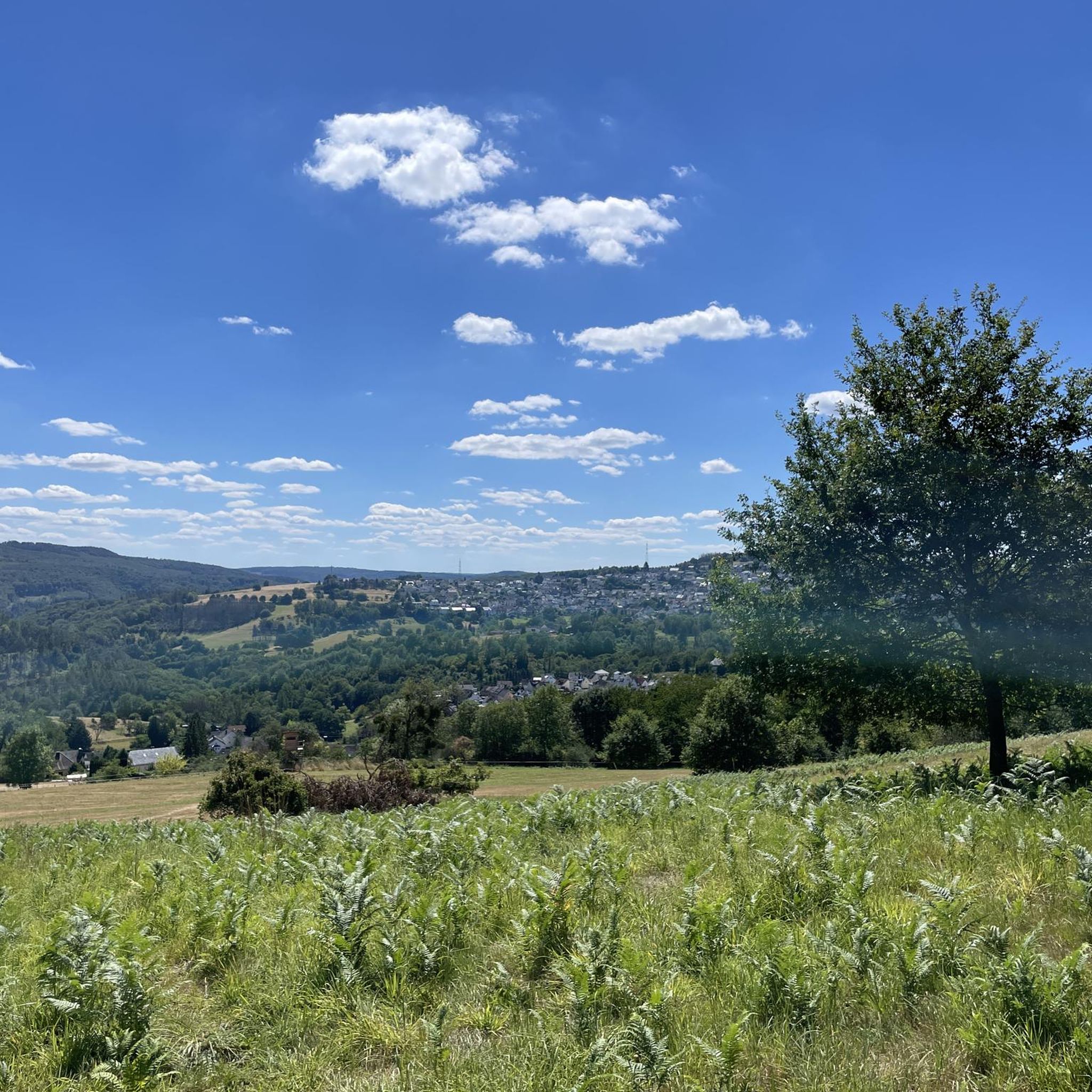
Hiking around Kadenbach
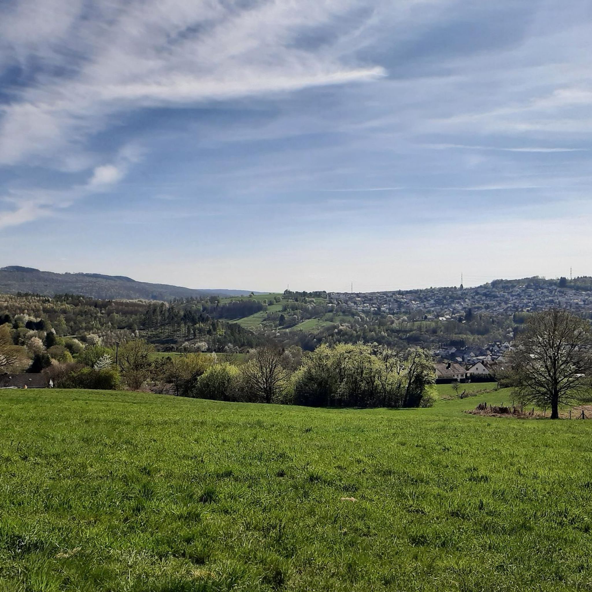
Running Trails around Kadenbach
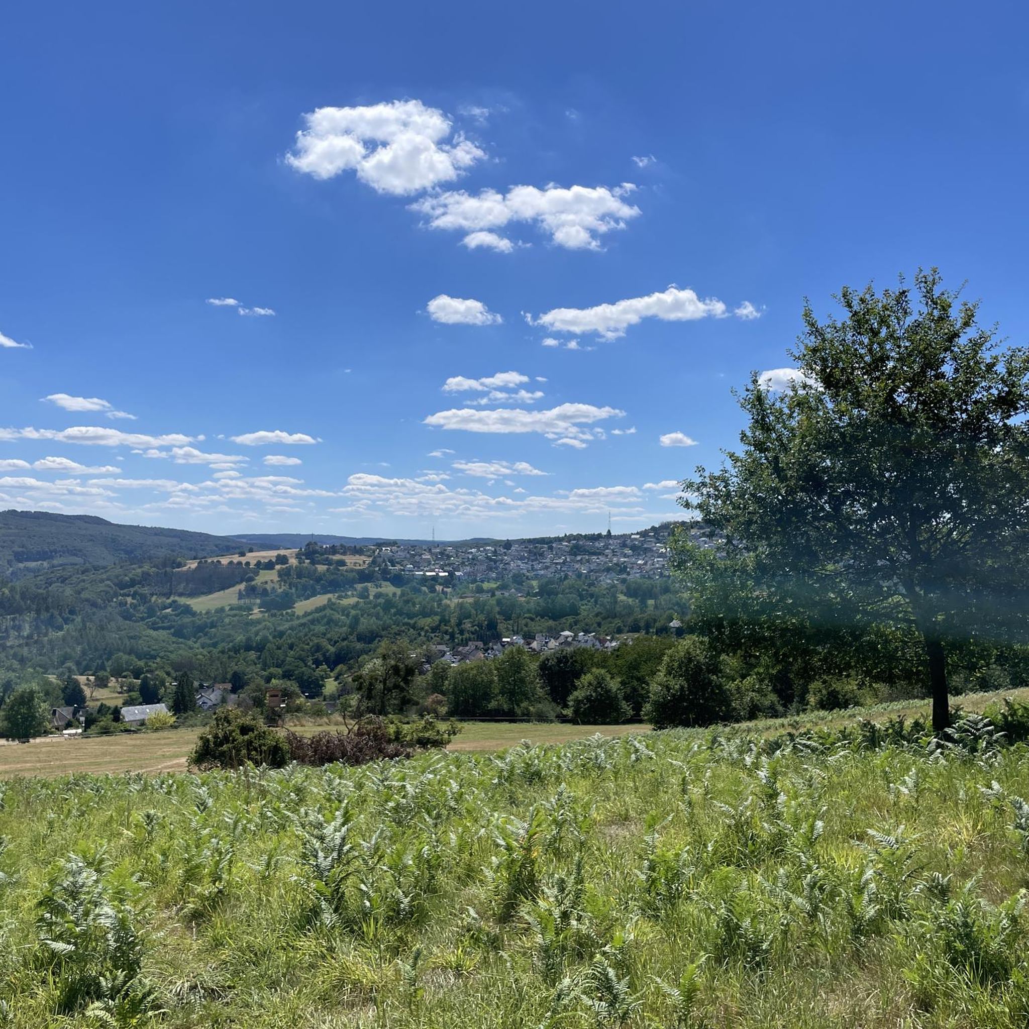
Cycling around Kadenbach
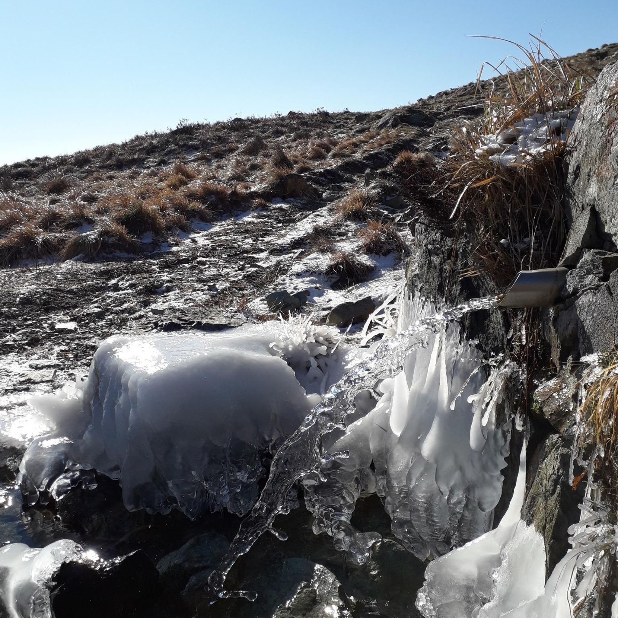
Gravel biking around Kadenbach
Other adventures around Kadenbach

Tips from the Community

There is mineral water to tap yourself.
1
0

The Ruppertsklamm is recommended to all nature enthusiasts. Sturdy, waterproof shoes are advantageous, as you sometimes have to step into the stream. Depending on the weather, it can carry quite a bit of water.
2
0

A spectacular visit to the fortress with the elevator🚠: 94 meters of altitude in approx. 3 minutes travel time, at approx. 7 km/h, distance 260 meters: With the fortress elevator, you glide relaxed and barrier-free to the Ehrenbreitstein Castle🏰🛡 - 🎨🖌🎨Panoramic views included. From the mountain station, you reach the central castle courtyard after a few meters🛡⚔️. Here you will find the State Museum and the most beautiful view over Koblenz🎨🖌. From here, you can explore the historic fortress area, experience events, living history, gastronomy, and concerts. You start your journey yourself at the push of a button🚠. 👌🏼With 🇩🇪Ticket for €0👌🏼 Built on the occasion of the Federal Garden Show 2011 for approx. €2.5 million.
6
0
🛡⚔️🏰In its current form, the fortress was rebuilt between 1817 and 1828 under the direction of Prussian engineer Carl Schnitzler. Since 2002, the fortress has been part of the UNESCO World Heritage "Upper Middle Rhine Valley", owned by the state of Rhineland-Palatinate. 🚡The highlight is the journey to the Ehrenbreitstein Fortress with the Koblenz cable car. Float over the Rhine🚠, the fantastic view of the Deutsches Eck, Rhine and Moselle🌊, before the impressive fortress walls appear🛡⚔️. Another spectacular visit to the fortress by elevator🚠: 94 meters in altitude in 3 minutes: With the fortress elevator, you glide relaxed and barrier-free to the Ehrenbreitstein Fortress - panoramic views included. From the mountain station, you reach the central castle courtyard after a few meters🛡⚔️. Here you will find the State Museum and the most beautiful view over Koblenz🎨🖌. From here, the historic fortress area, events, and gastronomy can be explored.
8
0

Permanently closed. Unfortunately, no longer a highlight.
2
0

The Protestant church in Neuhäusel bears the name Erlöserkirche and belongs to the Protestant Erlösergemeinde Neuhäusel. It is located in Kirchstraße and, with its historical appearance, shapes the village center. Its history is particularly interesting, as the current Protestant church is the former Catholic village church of the place. This also explains its traditional character. In the list of monuments, it is listed as a Neo-Gothic rubble stone building from the late 19th century. To this day, the Erlöserkirche is actively used for church services and is therefore not only a culturally and historically remarkable building, but also a living part of community life.
0
0

The Roman Spring is a free, warm (42°C) thermal spring often used for digestive problems. It is a sodium bicarbonate chloride thermal spring and part of the historic spa town of Bad Ems.
1
0

The gilded dome shines brightly, visible from afar, and its prominent location near the Lahn River in Bad Ems – albeit on the opposite bank from the town center – piques the curiosity of many a hiker or stroller. Orthodox churches, belonging to the various denominations of the Eastern Orthodox Church, can be seen in Germany from time to time, but they are not all that common. This church, moreover – which is not always the case – warmly welcomes visitors (entrance fee 1 euro). The sign on the entrance door prohibits photography, but the lady at reception allowed me to take a picture from the doorway (asking politely is often better than simply ignoring such a prohibition, which, unfortunately, happens all too often).
9
0
Frequently Asked Questions
How many road cycling routes are available around Kadenbach?
There are over 190 road cycling routes around Kadenbach, offering a wide variety of options for different skill levels and preferences. The komoot community has explored these routes over 7,500 times.
Are there easy road cycling routes suitable for beginners or families in Kadenbach?
Yes, Kadenbach offers a good selection of easier routes. There are 19 routes classified as 'easy', perfect for beginners or those looking for a more relaxed ride. These routes often feature less elevation gain and follow gentler terrain.
What kind of terrain can I expect on road cycling routes in the Kadenbach region?
The Kadenbach region is characterized by rolling hills, picturesque river valleys, and extensive wooded areas, particularly within the Westerwald forest. You'll find a mix of terrain, from routes following river paths with minimal elevation to those with more significant climbs and descents.
Are there challenging road cycling routes for experienced cyclists?
Absolutely. For experienced cyclists seeking a challenge, Kadenbach offers 74 routes classified as 'difficult'. These routes typically feature substantial elevation changes and longer distances. An example is the Bad Ems Spa Town – Lahn cycle path loop from Simmern, which includes over 850 meters of elevation gain.
What are some notable natural attractions I can see along road cycling routes near Kadenbach?
Many routes pass by or near interesting natural features. You can explore the dramatic Rupperts Gorge, or even see the Ruppertsklamm Waterfall. The region also features several caves, such as the Heinzelmann Caves.
Are the road cycling routes around Kadenbach typically circular?
Many of the road cycling routes around Kadenbach are designed as loops, allowing you to start and finish at the same point. For instance, the popular Entrance to the Ruppertsklamm – Mühlental Path loop from Kadenbach is a circular route.
What is the best time of year for road cycling in Kadenbach?
The most pleasant time for road cycling in Kadenbach is generally from spring to autumn (April to October). During these months, the weather is typically milder, and the natural scenery is at its best. Summer can be warm, while spring and autumn offer comfortable temperatures and beautiful foliage.
Are there routes that offer scenic viewpoints?
Yes, the hilly landscape provides several opportunities for scenic views. For example, you might find routes that offer a View over the Brexbach Valley from Teufelsberg, showcasing the region's natural beauty.
What do other road cyclists enjoy most about road cycling in Kadenbach?
The road cycling experience in Kadenbach is highly rated by the komoot community, with an average score of 4.6 stars from over 400 reviews. Cyclists often praise the varied terrain, from river paths to challenging climbs, and the scenic beauty of the Westerwald forest and river valleys.
Are there road cycling routes that pass through towns or offer opportunities for refreshments?
Many routes connect to nearby towns and villages, such as Bad Ems, which is known for its spa. Routes like the Bad Ems Spa Town – Ottmar-Canz Bridge loop from Eitelborn often provide opportunities to stop for refreshments in local cafes or restaurants.
What are the typical distances for road cycling routes in Kadenbach?
Road cycling routes in Kadenbach vary significantly in length. You can find shorter routes, such as the Pilgrimage Site Vallendar loop from Eitelborn at around 22.7 km, up to longer excursions like the Bad Ems Spa Town – Lahn cycle path loop from Simmern, which is about 46 km.
Most popular attractions around Kadenbach

Get inspired with the komoot mobile app


Explore more
Browse the best Road cycling routes in other regions.
