The best gravel rides around Lauterfingen
3.7
(5)
18
riders
6
rides
Gravel biking around Lauterfingen is characterized by a landscape featuring numerous water bodies, including ponds and canals, alongside gently rolling terrain. The region offers routes that traverse open countryside and connect various historical points of interest. Elevation gains are generally low, making the area accessible for varied gravel biking experiences. The area benefits from its proximity to the broader Alsace region, known for its diverse gravel biking conditions.
Best gravel bike trails around Lauterfingen
- The most popular gravel bike trail…
Last updated: November 2, 2026
3.0
(3)
10
riders
41.3km
02:31
220m
220m
Moderate gravel ride. Good fitness required. Mostly paved surfaces.
4.0
(1)
2
riders
25.8km
01:40
210m
210m
Moderate gravel ride. Good fitness required. Mostly paved surfaces.

2
riders
39.4km
02:31
310m
310m
Moderate gravel ride. Good fitness required. Mostly paved surfaces.
4.0
(1)
2
riders
26.6km
01:40
160m
160m
Moderate gravel ride. Good fitness required. Mostly paved surfaces.
1
riders
20.3km
01:22
150m
150m
Moderate gravel ride. Good fitness required. Mostly paved surfaces.
Our route recommendations are based on thousands of hikes, rides, and runs completed by other people on komoot.
Start today with a free account
Your next adventure awaits.

Tips from the Community


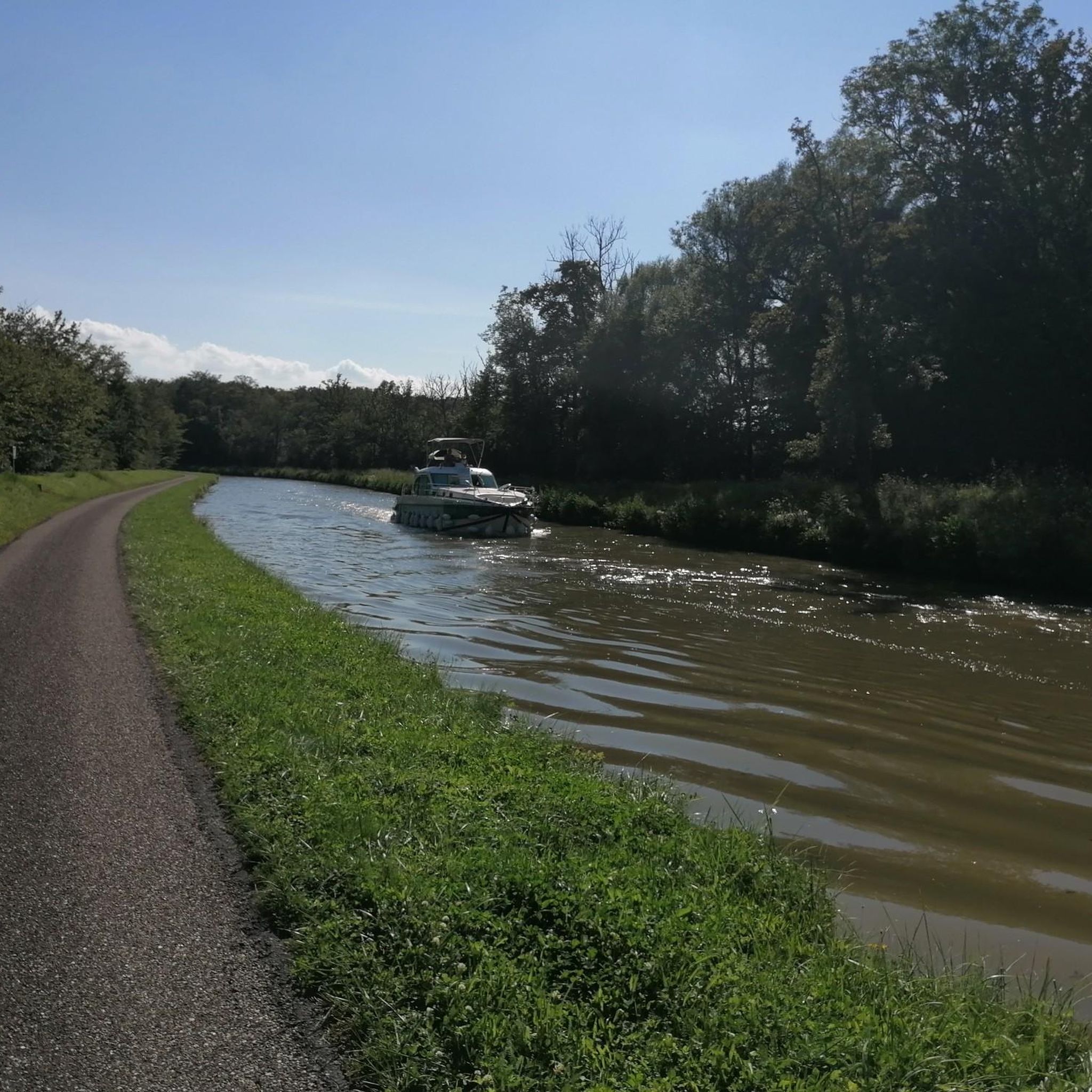
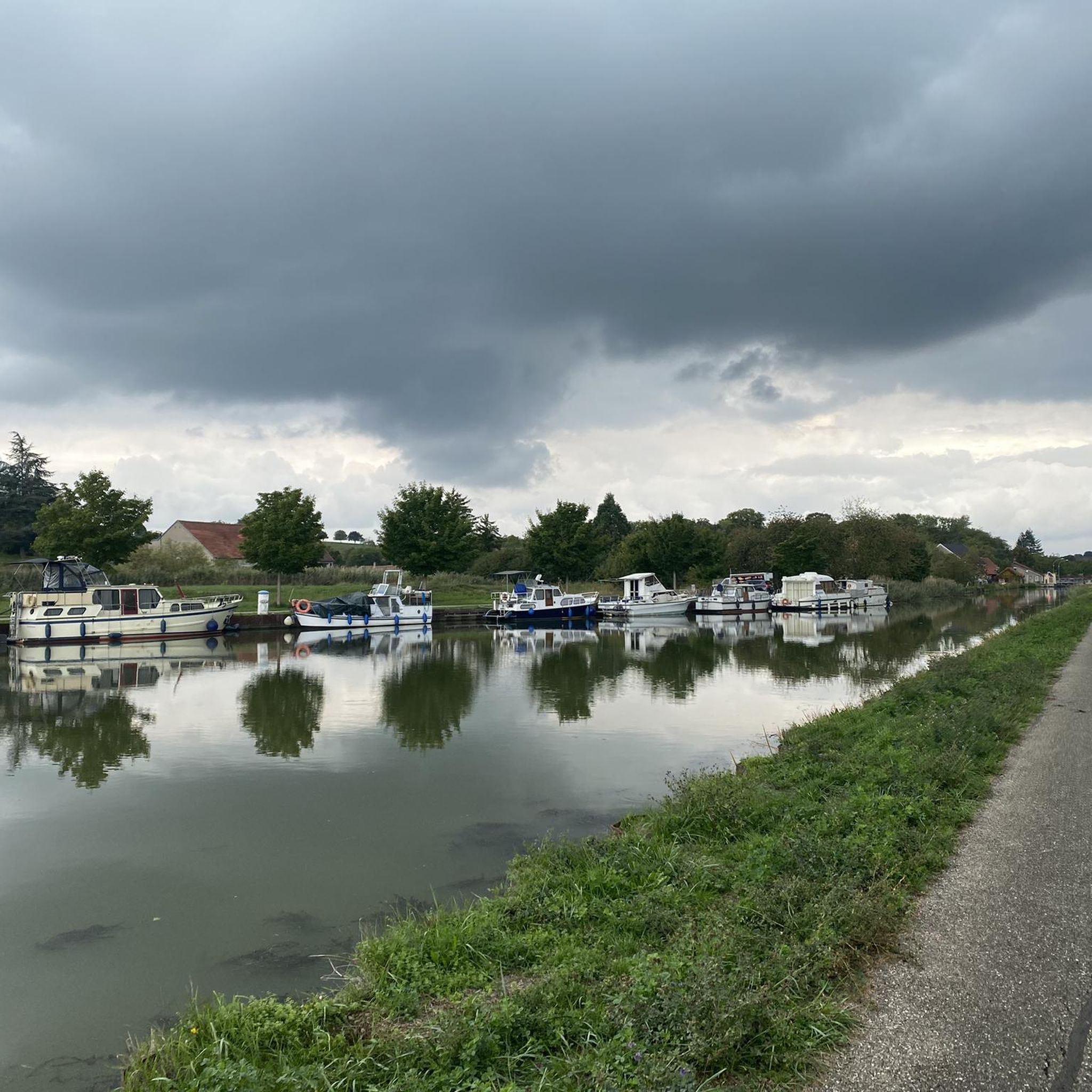
A resting place at a small harbor. You can find ones like this again and again along the canals. This one is very well equipped and has a nice little café
0
0

Unfortunately, the bridge is not passable by bike for older people.
0
0

be careful at the intersection without road markings and traffic
0
0

Cozy, friendly, good 👌
0
0
Friendly service is provided here, and snacks and drinks are available.
0
0

A former bunker of the Maginol Line, very worth seeing and interesting.
1
0

Very friendly and suitable for everyone
0
0
Frequently Asked Questions
What is the general difficulty level of gravel biking around Lauterfingen?
The gravel bike trails around Lauterfingen are generally accessible, with elevation gains being low. The area offers a mix of easy and moderate routes. According to komoot data, there are 6 moderate routes and no difficult routes, making it suitable for a wide range of riders.
What are the typical lengths of gravel bike trails in the Lauterfingen area?
Gravel bike trails in Lauterfingen vary in length, offering options for different preferences. You'll find routes ranging from approximately 14 miles (23 km) to nearly 30 miles (48 km). For example, the Étang du Stock Dam – Étang du Stock loop from L'Éden Lorrain is about 14.2 miles (22.9 km), while the Canal next to the campsite – Grand Pond of Mittersheim loop from Fénétrange − Étang extends to 29.8 miles (47.9 km).
Are there family-friendly gravel bike routes in Lauterfingen?
Yes, the low elevation gains and generally accessible terrain around Lauterfingen make it suitable for family-friendly gravel biking. Routes like the Étang du Stock Dam – Étang du Stock loop from L'Éden Lorrain are rated as easy and offer pleasant rides around natural areas, ideal for families looking for a less strenuous outing.
What kind of scenery can I expect on gravel bike trails in Lauterfingen?
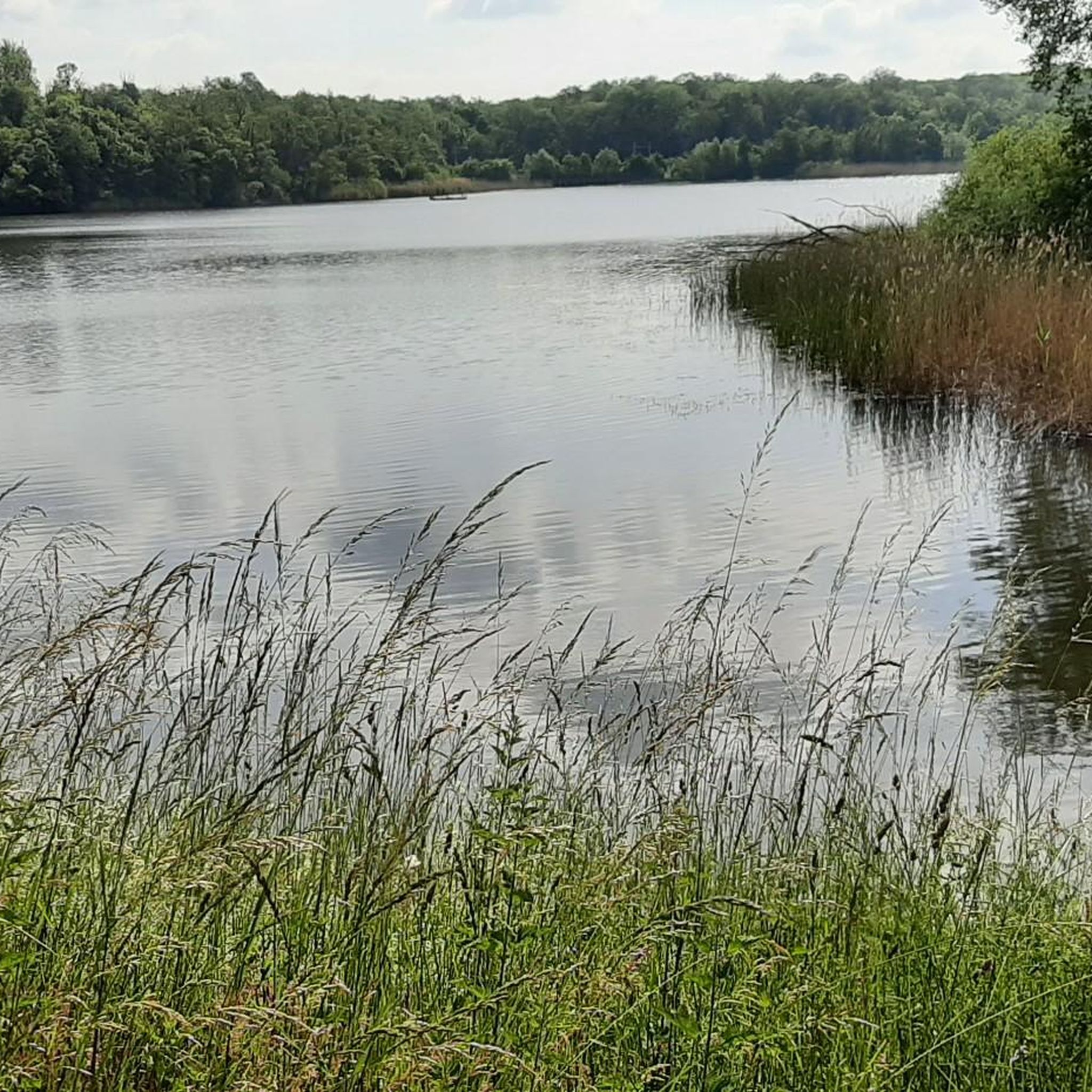
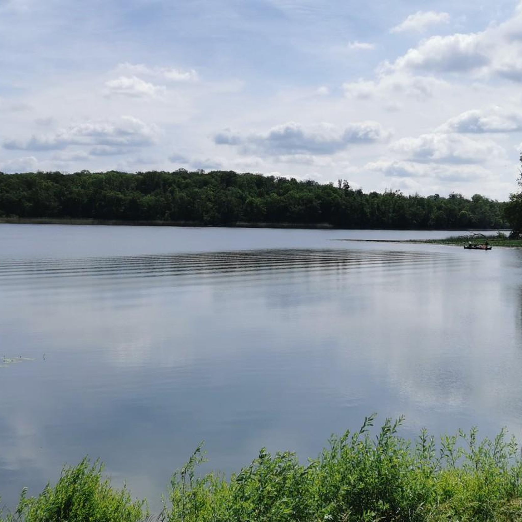
The Lauterfingen region is characterized by a picturesque landscape featuring numerous water bodies, including ponds and canals, alongside gently rolling terrain. You'll often find yourself traversing open countryside, with routes connecting various historical points of interest and offering scenic views of lakes like the Grand Pond of Mittersheim or the Étang du Stock Dam.
Are there any circular gravel bike routes available?
Yes, many of the gravel bike routes in Lauterfingen are designed as loops, allowing you to start and finish at the same point. Examples include the Étang des Souches – The three bridges loop from Rhodes and the The Old Mill - Sarrewerden – Saint-Barthélemy Church loop from Altwiller, offering convenient circular journeys.
What historical sites or landmarks can I see along the gravel bike trails?
The region around Lauterfingen is rich in historical points of interest. Along your rides, you might encounter structures like The three bridges, or pass by historical castles such as Fénétrange Castle or Château d'Alteville. Many routes are designed to connect these cultural highlights.
What do other gravel bikers enjoy most about the trails in Lauterfingen?
The gravel biking experience in Lauterfingen is highly rated by the komoot community, with an average score of 4.2 stars from over 5 reviews. Riders often praise the varied terrain around ponds and canals, the accessible nature of the routes, and the opportunity to explore historical sites.
Is parking available near the starting points of the gravel bike routes?
While specific parking details can vary by route, many gravel bike trails in Lauterfingen start from towns or villages where public parking is generally available. It's advisable to check the individual route descriptions on komoot for precise parking information at your chosen starting point.
Can I access the gravel bike routes using public transport?
Access to specific trailheads by public transport can vary. While some starting points in larger villages might be reachable by local bus services, direct public transport links to all gravel bike routes may be limited. We recommend checking local transport schedules for the specific starting location of your chosen route.
Are there any routes that offer views of significant water bodies?
Absolutely. The region is known for its water features. The Étang des Souches – The three bridges loop from Rhodes offers scenic views of the Étang des Souches, while the Étang du Stock Dam – Étang du Stock loop from L'Éden Lorrain provides views of the Étang du Stock Dam. You'll also find routes running alongside canals, such as the Canal des Houillères de la Sarre.
What is the best time of year for gravel biking in Lauterfingen?
The gently rolling terrain and varied landscape of Lauterfingen make it enjoyable for gravel biking during most of the year. Spring and autumn offer pleasant temperatures and beautiful scenery. Summer is also suitable, though it's always wise to check weather forecasts and plan for hydration. Winter riding is possible, but conditions may vary, especially on unpaved sections.
Most popular routes around Lauterfingen
Most popular attractions around Lauterfingen

Get inspired with the komoot mobile app


Explore more
Browse the best Gravel rides in other regions.
