The best gravel rides around Gertingen
4.0
(3)
51
riders
24
rides
Gravel biking around Gertingen offers a diverse landscape characterized by wooded hills, extensive forests, and river valleys. The region features a network of trails suitable for gravel bikes, ranging from mostly paved surfaces to more challenging routes with significant elevation gain. Natural features include rivers like the Leine and various lakes and reservoirs, providing varied terrain for cycling. The area's position between the Harz Mountains and Weser Uplands contributes to its varied topography.
Best gravel bike trails around Gertingen
- The…
Last updated: August 26, 2026
11
riders
54.7km
04:02
450m
450m
Moderate gravel ride. Good fitness required. Mostly paved surfaces. Suitable for all skill levels.
4
riders
31.4km
02:25
330m
330m
Moderate gravel ride. Good fitness required. Mostly paved surfaces. Suitable for all skill levels.

Sign up for free
5.0
(2)
6
riders
23.8km
01:29
160m
160m
Moderate gravel ride. Good fitness required. Mostly paved surfaces. Suitable for all skill levels.
3.0
(1)
4
riders
14.8km
01:02
210m
210m
Moderate gravel ride. Good fitness required. Mostly paved surfaces. Suitable for all skill levels.
5
riders
59.3km
03:40
530m
530m
Hard gravel ride. Very good fitness required. You may need to push your bike for some segments of this route.
Get access to more routes and recommendations from other explorers.
Sign up for free
Already have an account?
Our route recommendations are based on thousands of hikes, rides, and runs completed by other people on komoot.
Start today with a free account
Your next adventure awaits.
Login or Signup
Tips from the Community


A popular vantage point and landmark of the municipality of Überherrn is the monument 'For the Great Europeans'
1
0
The isolated Chapel of St. Mary in Werbeln is a place of refuge for many people who wish to pray. It was initiated in 1954 by the then Father Wendelinus Maas and built with donations.
2
0


The Maginot Line: The French Wall | ARTE https://youtu.be/Bvtxa08ysgc For those who would like to know more about the Maginot Line: de.wikipedia.org/wiki/Liste_der_Ouvrages_der_Maginot-Linie
1
0

Unfortunately, the name of the place is misspelled. It should be "Werbeln"
0
1

Excellent playground with many forest paths. Not far away, the Hussards hill has several mountain bike trails.
0
0
Frequently Asked Questions
How many gravel bike trails are available in Gertingen?
Gertingen offers a wide selection of gravel bike trails, with over 40 routes available. These range from easy rides to more challenging routes with significant elevation changes, catering to various skill levels.
What kind of terrain can I expect on gravel bike trails around Gertingen?
The terrain around Gertingen is diverse, featuring wooded hills, extensive forests, and river valleys. You'll encounter a mix of surfaces, from mostly paved sections to classic gravel paths and forest trails. The region's location between the Harz Mountains and Weser Uplands contributes to its varied topography.
Are there any easy gravel bike routes suitable for beginners or families in Gertingen?
Yes, Gertingen has options for easier rides. While many routes are moderate to difficult, there are trails that offer a gentler experience. For example, the region's river paths and routes around lakes often provide less challenging terrain. Always check the route details for specific difficulty ratings.
What are some notable natural attractions or landmarks I can see while gravel biking in Gertingen?
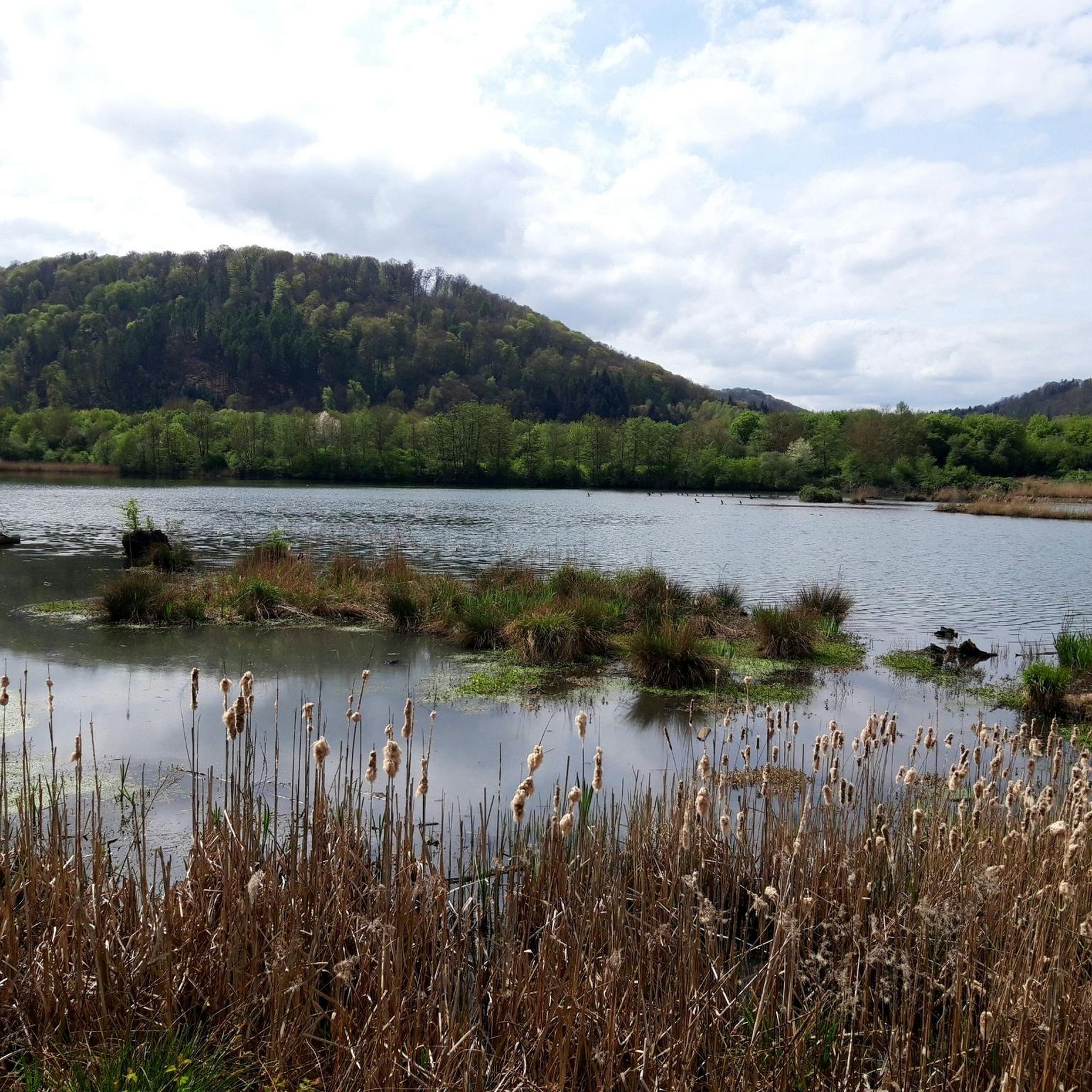
Many gravel routes in Gertingen pass by interesting natural features and landmarks. You can explore areas around the Warndtweiher, a popular lake, or discover other serene spots like the Small Lake Westlich Berus. The region also features historic sites such as the Monument "For the Great Europeans" and Observation Tower (Berus), offering scenic views.
Are there any circular gravel routes in Gertingen?
Yes, many of the gravel routes in Gertingen are designed as loops, allowing you to start and end at the same point. A great example is the Lake Bisten – E.ON Reservoir loop from Merten, which offers varied terrain around the reservoir. Another option is the Warndtweiher – Linslerhof Chapel loop from Überherrn, which combines forest paths and open sections.
What do other gravel bikers say about the trails in Gertingen?
The gravel biking routes in Gertingen are highly regarded by the komoot community, with an average rating of 4.4 out of 5 stars. Cyclists often praise the diverse landscape, including wooded hills and river valleys, and the variety of trails suitable for different ability levels.
Are there any challenging gravel bike routes for experienced riders in Gertingen?
Absolutely. For experienced riders seeking a challenge, Gertingen offers several difficult routes with significant elevation gain. The View of the Nied River – Nied Valley Trail loop from Creutzwald is a demanding 61.9 km trail with nearly 500 meters of ascent. Another challenging option is the St. Nicholas Pond – Lock on the Saar loop from Lauterbach, which covers almost 80 km with over 700 meters of climbing.
What is the best time of year for gravel biking in Gertingen?
Gravel biking in Gertingen is enjoyable throughout much of the year. Spring brings fresh greenery, while autumn offers beautiful colors in the wooded hills. The diverse terrain means conditions can vary, so it's always a good idea to check local weather forecasts and trail conditions before heading out.
Are there any routes that pass by rivers or lakes in Gertingen?
Yes, the region is characterized by its rivers and lakes, and many gravel routes incorporate these features. The Lake Bisten – E.ON Reservoir loop from Merten takes you around a reservoir, and the View of the Nied River – Nied Valley Trail loop from Creutzwald leads through the picturesque Nied River valley. You'll also find routes near the Warndtweiher.
Can I find routes that explore the forest areas around Gertingen?
Yes, Gertingen is surrounded by extensive forests, and many gravel tours predominantly feature forest trails. The region's wooded hills, including areas like the Göttingen Forest (nearby), provide numerous opportunities for cycling through natural woodlands, offering a shaded and scenic experience.
Are there any routes that offer panoramic views?
While specific viewpoints on Gertingen routes aren't detailed, the region's wooded hills and varied topography suggest opportunities for scenic vistas. The nearby Monument "For the Great Europeans" and Observation Tower (Berus) is known for offering impressive views, and routes that climb to higher elevations will naturally provide broader perspectives of the landscape.
Most popular attractions around Gertingen

Get inspired with the komoot mobile app


Explore more
Browse the best Gravel rides in other regions.
