The best gravel rides around Langich
5.0
(10)
151
riders
30
rides
Gravel biking around Langich offers a diverse landscape for cyclists. The region features a mix of forest singletrack, ridge trails, and riverside paths. These routes provide varied terrain, from challenging ascents to more consistent paths along waterways. The area's gravel bike trails are suitable for experienced riders seeking longer distances and elevation.
Best gravel bike trails around Langich
- The most popular gravel bike trail is Forest Singletrack Trail – Singletrack Trail on the Ridge loop from Doihl, a 24.2…
Last updated: May 22, 2026
4.9
(7)
50
riders
39.0km
03:13
520m
520m
Hard gravel ride. Very good fitness required. Mostly paved surfaces. Suitable for all skill levels.
5.0
(1)
47
riders
74.1km
04:40
830m
830m
Hard gravel ride. Very good fitness required. You may need to push your bike for some segments of this route.

Sign up for free
7
riders
Hard gravel ride. Very good fitness required. Mostly paved surfaces. Suitable for all skill levels.
5.0
(1)
12
riders
55.9km
03:33
640m
640m
Hard gravel ride. Very good fitness required. Mostly paved surfaces. Suitable for all skill levels.
8
riders
33.8km
02:32
460m
460m
Hard gravel ride. Very good fitness required. Mostly paved surfaces. Suitable for all skill levels.
Get access to more routes and recommendations from other explorers.
Sign up for free
Already have an account?
Our route recommendations are based on thousands of hikes, rides, and runs completed by other people on komoot.
Start today with a free account
Your next adventure awaits.
Login or Signup
Tips from the Community

Super park, with playground for children and football field. Well flowered.
0
0
Super, small viewpoint above the river
0
0
Chapel near the summit of Kirchberg
0
0
Beautiful lake, for walking, cycling, fishing
0
0

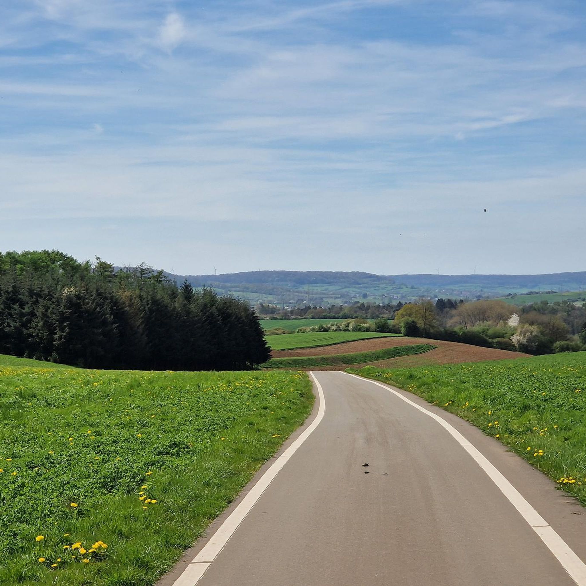
Beautiful cycling environment with nice descents.
0
0
A truly peaceful place to unwind. Also suitable as a picnic spot.
0
0

The Trench of Gates: Gateway to Gaume, Gateway to Legends 1. What is it? Physical Description The Trench of Gates is a deep and spectacular rocky gorge, naturally carved by the Vire River (a tributary of the Semois) into the sandstone plateau of the Gaume forest. Located in the village of Dampicourt (commune of Rouvroy), on the French border, it forms a narrow and winding notch, framed by high sandstone walls and strangely shaped rocks. Its name comes from its topography: the site gives the impression of crossing several successive natural "gates." 2. A Strategic Position: Military History The true fame of the Trench of Gates comes from its historical role as a natural fortress and strategic border post. A Gallic Stronghold? : Its easily defensible configuration suggests that it was used as a refuge since the Gallic era. The Roman Fort: Its strategic role became evident during the Roman era. The Romans established a castellum (a fortified camp) there to control the passage between Belgic Gaul and Imperial Trier, and to protect the nearby Roman road. Remains of these fortifications were still visible several centuries ago. A Millennial Challenge: Due to its position on the border, the site has been contested and fortified throughout history, from the Middle Ages to modern wars. It offered an ideal control point over one of the few passable passages through the region's wooded terrain.
1
0

no bad surprises, easily crossable stream
0
0
Frequently Asked Questions
What kind of terrain can I expect on gravel bike trails around Langich?
The Langich region offers a diverse landscape for gravel biking. You'll encounter a mix of forest singletrack, ridge trails, and riverside paths. The area is situated between the elevated ridges of the Teutoburg Forest and the flatter, park-like landscape of Münsterland, providing varied terrain from challenging ascents in wooded areas to more leisurely rides across valleys and open parkland.
Are there challenging gravel bike routes in Langich?
Yes, gravel biking around Langich is known for its more challenging routes. Out of 45 available tours, 25 are rated as difficult. For example, the Forest Singletrack Trail – Singletrack Trail on the Ridge loop from Doihl is a difficult 24.2-mile (39.0 km) trail with over 500 meters of elevation gain, exploring forest singletrack and ridge trails.
What are some of the longer gravel bike routes in the Langich area?
For those seeking longer distances, the Brasserie At the Station, Clemency – Attert Cycle Path (PC 12) loop from Aubange is a difficult 44.8-mile (72.1 km) path that follows the Attert Cycle Path, featuring over 840 meters of elevation gain. Another option is the Bridge Over the Messancy – Scenic Concrete Cycle Path loop from Halanzy, which covers 34.6 miles (55.8 km) with over 640 meters of ascent.
What natural features or landmarks can I see while gravel biking near Langich?
The region boasts several notable natural features and landmarks. You can explore the unique 'Lengerich Canyon' (Dyckerhoff Quarry) with its distinctive 'Blue Lagoon', or the impressive Dörenther Cliffs. Additionally, routes might take you past highlights such as the Giele Botter Nature Reserve, the Moulaine Valley Stream, or the Oak of the Three Communes.
Are there any waterfalls along the gravel bike trails?
Yes, one notable route, the Trou du Pérou Waterfall – Tranchée des Portes Oppidum loop from Rachecourt, specifically features the Trou du Pérou Waterfall. This difficult 23.5-mile (37.8 km) trail offers over 500 meters of elevation gain.
What do other gravel bikers say about the trails in Langich?
The gravel biking routes in Langich are highly regarded by the komoot community, holding an average rating of 4.8 stars from over 10 reviews. More than 180 gravel bikers have used komoot to explore the varied terrain, often praising the diverse landscapes, from forest singletrack to ridge trails and riverside paths.
How many gravel bike trails are available around Langich?
There are 45 gravel bike trails available around Langich, offering a wide range of options for different preferences and skill levels.
Are there any historical sites or points of interest along the routes?
Yes, the region has historical points of interest. For example, you might encounter the Halanzy Iron Mine Ruins or the Ruins of the Titelberg Oppidum. Some routes also pass by the Cons-la-Grandville Castle.
What is the typical elevation gain on gravel bike routes in Langich?
The elevation gain on gravel bike routes in Langich can vary significantly due to the diverse terrain. Difficult routes often feature substantial climbs; for instance, the Brasserie At the Station, Clemency – Attert Cycle Path (PC 12) loop from Aubange has over 840 meters of ascent, while others like the Forest Singletrack Trail – Singletrack Trail on the Ridge loop from Doihl have around 515 meters of elevation gain.
Can I find routes that are primarily loop trails?
Yes, many of the gravel bike trails around Langich are designed as loops, allowing you to start and end at the same point. Examples include the View of Oberkorn – Singletrack Trail on the Ridge loop from Differdange and the Trou du Pérou Waterfall – Tranchée des Portes Oppidum loop from Rachecourt.
What are the main types of paths I will encounter on gravel rides in Langich?
Gravel biking around Langich is characterized by a mix of forest singletrack, ridge trails, and riverside paths. This variety ensures a dynamic riding experience, combining technical sections with more consistent stretches along waterways.
Most popular attractions around Langich

Get inspired with the komoot mobile app


Explore more
Browse the best Gravel rides in other regions.
