The best gravel rides around Saint-Barthélemy-De-Séchilienne
4.5
(3)
25
riders
4
rides
Gravel biking around Saint-Barthélemy-De-Séchilienne offers diverse mountainous terrain within the Isère department of France. The region is characterized by a significant elevation range, from 309 meters to 2,022 meters, and is situated within the Romanche Valley near the Belledonne chain. This area provides a network of cycling routes featuring a mix of paved and unpaved surfaces, suitable for gravel bikes. Riders can expect varied topography, including challenging climbs and descents, with routes often providing panoramic views of surrounding massifs like…
Last updated: July 2, 2026
5.0
(1)
9
riders
42.9km
03:17
1,100m
1,100m
Hard gravel ride. Very good fitness required. Mostly paved surfaces. Suitable for all skill levels.
4.0
(2)
4
riders
Hard gravel ride. Very good fitness required. Mostly paved surfaces. Suitable for all skill levels.

Sign up for free
4
riders
60.8km
04:41
1,630m
1,630m
Hard gravel ride. Very good fitness required. Mostly paved surfaces. Suitable for all skill levels.
2
riders
10.9km
00:54
160m
160m
Moderate gravel ride. Good fitness required. Mostly paved surfaces. Suitable for all skill levels.
3
riders
35.1km
02:41
790m
790m
Hard gravel ride. Very good fitness required. You may need to push your bike for some segments of this route.
Our route recommendations are based on thousands of hikes, rides, and runs completed by other people on komoot.
Start today with a free account
Your next adventure awaits.
Login or Signup
Popular around Saint-Barthélemy-De-Séchilienne
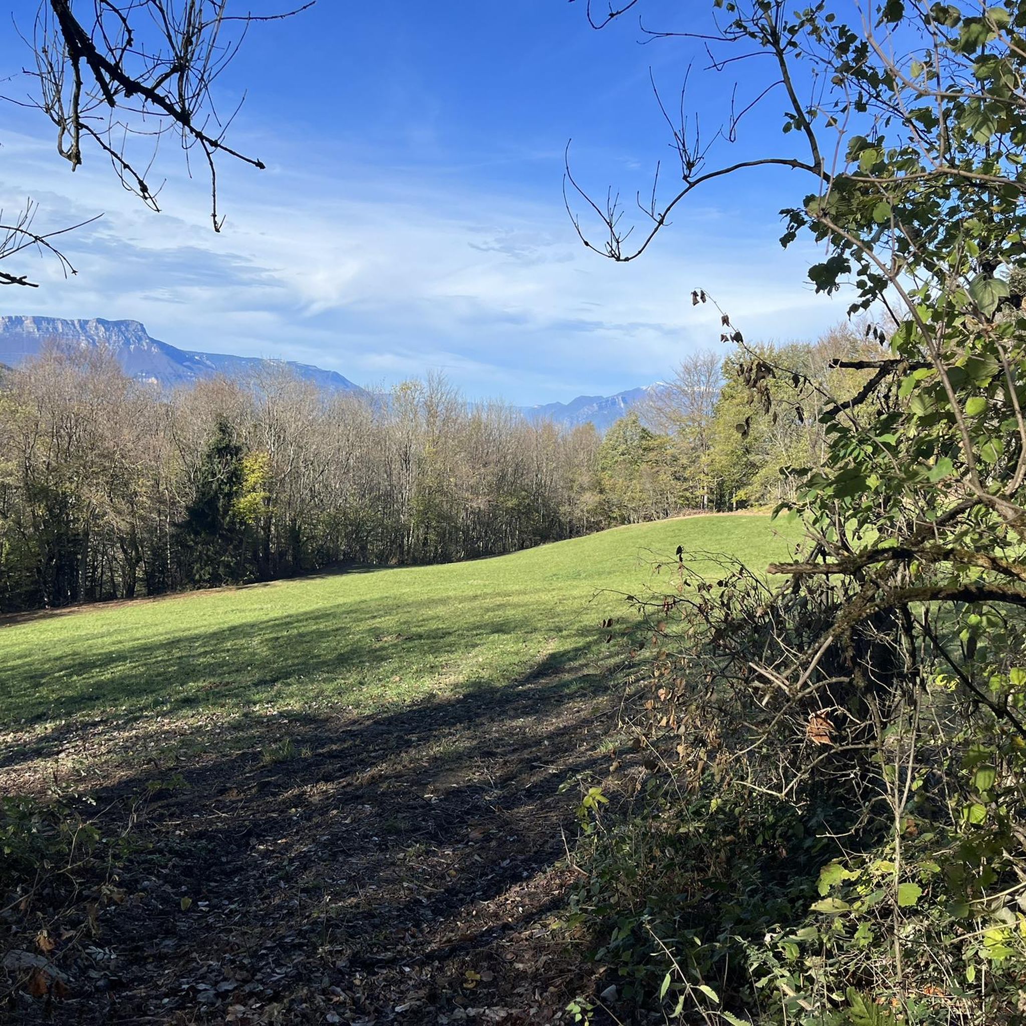
Road Cycling Routes around Saint-Barthélemy-De-Séchilienne
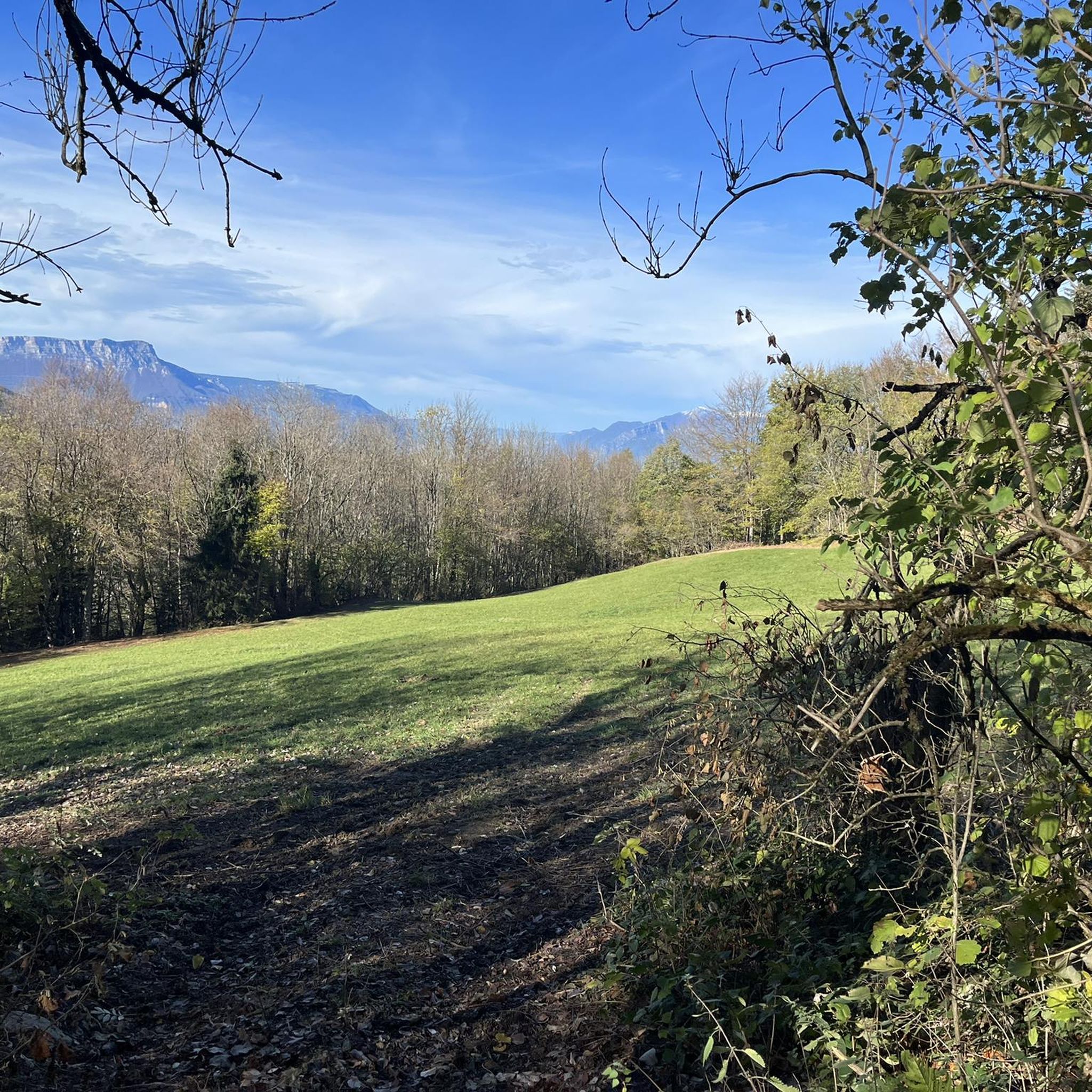
Cycling around Saint-Barthélemy-De-Séchilienne
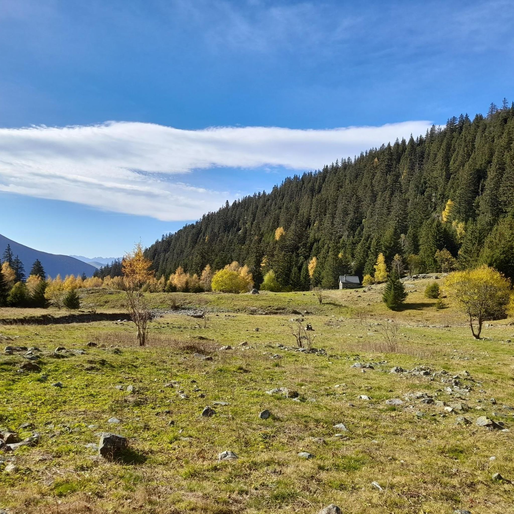
Running Trails around Saint-Barthélemy-De-Séchilienne
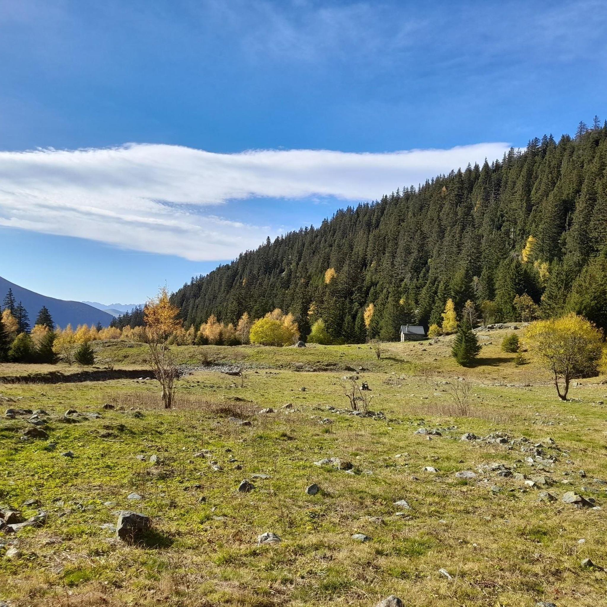
Hiking around Saint-Barthélemy-De-Séchilienne

Mountain Hikes around Saint-Barthélemy-De-Séchilienne
MTB Trails around Saint-Barthélemy-De-Séchilienne
Tips from the Community

Cool photo spot along the quiet route towards Grenoble.
1
0

the climb of Montchaboud warms up the calves
0
0
the climb to Montchaboud is quite steep, but fun
1
0
This is one of three mine shafts in the Mure basin. The shaft at La Motte d'Aveillans was closed in 1956. Today, it is a museum that traces the history of coal mining in La Mûre.
0
0
It is the starting point for a multitude of mountain bike trails. Parking is available nearby.
0
0
The castle is not open to the public. It's a shame, as the site is exceptional. The earliest remains date back to the 14th century, when the castle was owned by the Bishop of Grenoble. Today, it is privately owned.
1
0

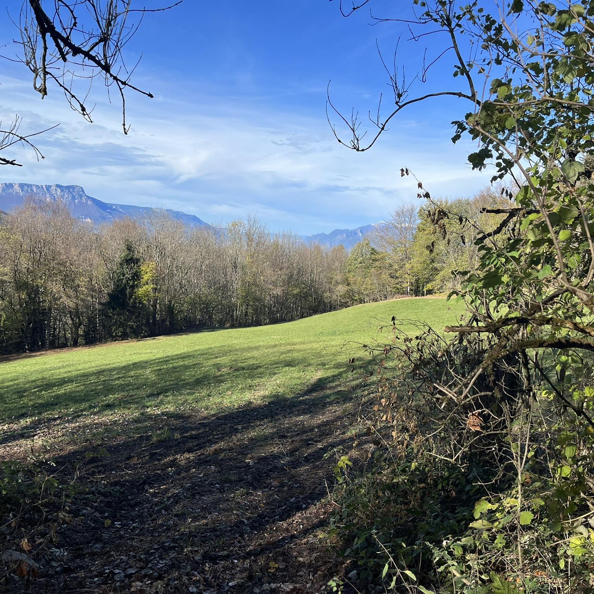
Bordering farmland, this trail offers a pleasant section with a lovely panorama of the mountains.
0
0
Frequently Asked Questions
What is the general difficulty level of gravel bike trails around Saint-Barthélemy-De-Séchilienne?
The gravel bike trails in this region are generally considered challenging. All routes listed in our guide are rated as 'difficult,' featuring significant elevation gains and varied terrain. Riders should be in good physical condition and prepared for unpaved or technical sections.
Are there any long-distance gravel bike routes available?
Yes, for those seeking a longer challenge, the region offers routes like the Start of Balcon Est du Vercors – Col de l'Arzelier loop from Saint-Georges-de-Commiers, which spans over 60 kilometers. This route provides an extensive experience through the mountainous landscape.
What kind of views can I expect on these gravel bike trails?
The trails offer breathtaking panoramic views of prominent mountain ranges such as Chartreuse, Belledonne, Mont du Chat, and even Mont Blanc. You'll also encounter stunning vistas of the Romanche Valley and geological features like the Séchilienne Slope. Routes like the Nice View – Lake Monteynard loop from Saint-Georges-de-Commiers specifically highlight these scenic rewards, including views of Lake Monteynard.
Are there any circular gravel bike routes in the area?
Yes, all the gravel bike routes featured in this guide are circular loops, designed to bring you back to your starting point. Examples include the Four Lords Pass – Col des Quatre Seigneurs loop from Au Coin and the View of the Vercors – View of the Drac River loop from La Motte-d'Aveillans.
What is the best season for gravel biking around Saint-Barthélemy-De-Séchilienne?
Given the mountainous climate and significant elevation, late spring through early autumn (roughly May to October) is generally the best season for gravel biking. During these months, you'll find more favorable weather conditions, less chance of snow at higher elevations, and the most accessible trails. Winter riding can be challenging due to snow and ice.
What do other gravel bikers enjoy most about the trails in Saint-Barthélemy-De-Séchilienne?
The area is highly rated by the komoot community, with an average score of 5.0 stars. Reviewers often praise the diverse and challenging mountainous terrain, the extensive network of cycling routes, and the breathtaking panoramic views of the surrounding massifs like Belledonne and Vercors.
Are there any beginner-friendly gravel bike trails in Saint-Barthélemy-De-Séchilienne?
The gravel bike trails in Saint-Barthélemy-De-Séchilienne are predominantly rated as 'difficult' due to the significant elevation changes and varied surfaces. While there are no specific beginner-friendly routes listed in this guide, less experienced riders might consider shorter sections of these trails or focus on routes with less extreme elevation gain, such as the Four Lords Pass – Col des Quatre Seigneurs loop from Vaulnaveys-le-Haut, which is slightly shorter than other difficult options.
What natural attractions or landmarks can I see near the gravel bike routes?
The region is rich in natural beauty. You can explore stunning lakes such as Lake Achard, Lake Fourchu, and Étang de Haute-Jarrie. There are also impressive mountain peaks and viewpoints like La Croix de Chamrousse Summit, La Peyrouse, and The Belvedere of Alpe du Grand Serre, offering incredible vistas.
Where can I find parking or trailheads for gravel biking in the area?
Many routes, being loops, often start and end in or near villages, which typically offer public parking. For example, routes like the Four Lords Pass – Col des Quatre Seigneurs loop can be accessed from Au Coin, while others start from Saint-Georges-de-Commiers or La Motte-d'Aveillans. Specific parking details are usually available on individual route pages on komoot.
Are there any less-trafficked or 'hidden gem' gravel routes to explore?
While all routes in this guide are highly rated, the Four Lords Pass – Col des Quatre Seigneurs loop from Vaulnaveys-le-Haut offers a slightly different starting point and perspective on the popular Four Lords Pass, potentially providing a quieter experience compared to the more frequently used trailheads. The region's extensive network means there are always new paths to discover.
Can I find cafes or places to refuel along the gravel bike trails?
The routes often pass through or near picturesque rural villages. While specific cafes are not detailed for every route, these villages are your best bet for finding places to refuel, grab a snack, or find water. It's always advisable to carry sufficient supplies, especially on longer or more remote sections.
What kind of terrain can I expect on the gravel bike trails?
You can expect a diverse mix of surfaces, characteristic of gravel biking. This includes paved sections, unpaved roads, and potentially technical singletrack or rougher paths. The varied topography means you'll encounter everything from valley floors to challenging mountain ascents and descents, often requiring good bike handling skills.
Most popular routes around Saint-Barthélemy-De-Séchilienne
Most popular attractions around Saint-Barthélemy-De-Séchilienne

Get inspired with the komoot mobile app


Explore more
Browse the best Gravel rides in other regions.
