The best gravel rides around Malroy
4.3
(41)
220
riders
64
rides
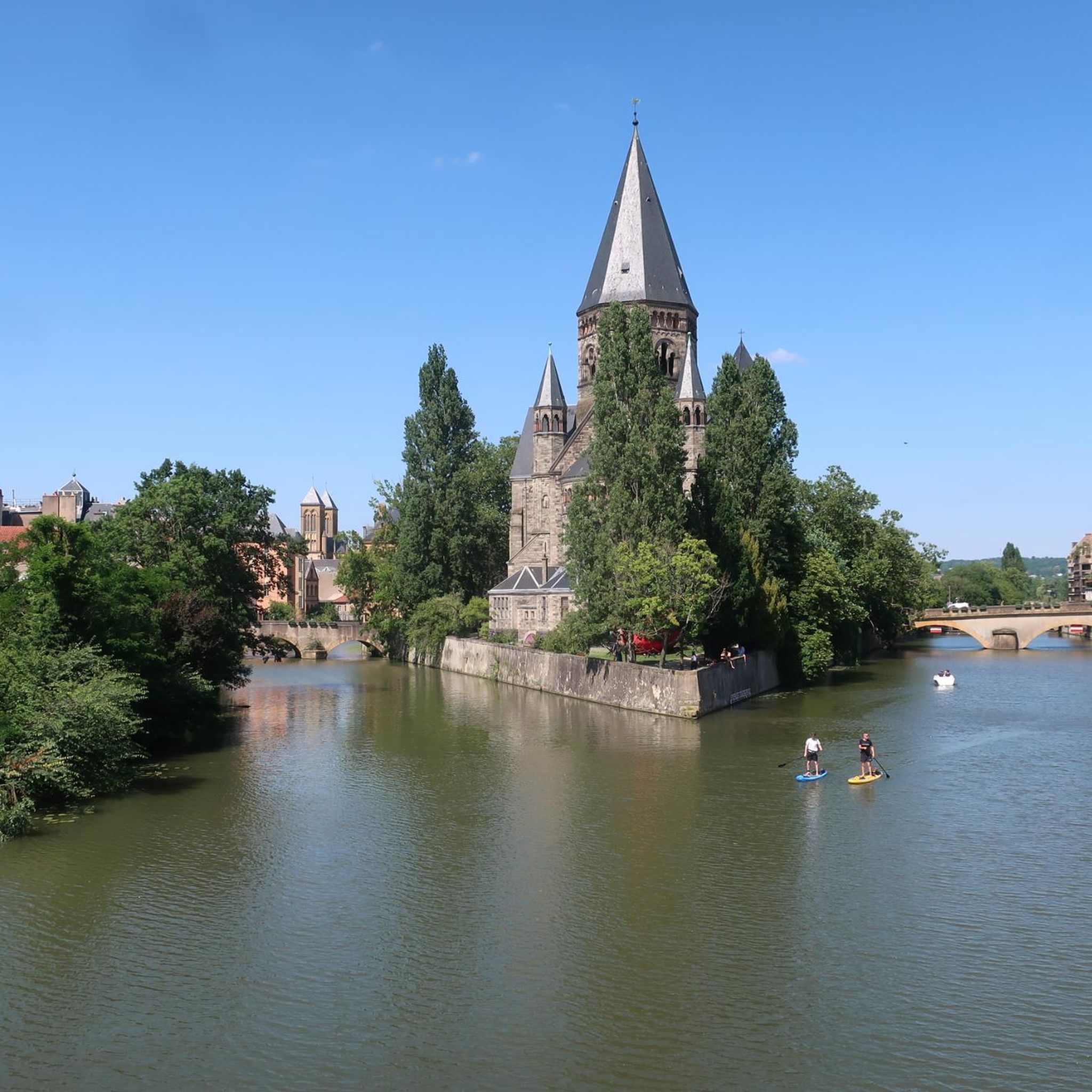
Gravel bike trails around Malroy are characterized by routes that often follow river systems and traverse varied terrain, including forested sections and open landscapes. The region features a mix of paved and unpaved surfaces, suitable for gravel cycling. Elevation changes are present, ranging from gentle inclines along riverbanks to more challenging climbs in higher areas. The landscape includes views of waterways and rural environments.
Best gravel bike trails around Malroy
- The most popular gravel bike trail is Plan d'Eau de…
Last updated: May 22, 2026
4.9
(20)
74
riders
38.6km
02:08
210m
210m
Moderate gravel ride. Good fitness required. Mostly paved surfaces. Suitable for all skill levels.
3.5
(2)
24
riders
41.8km
02:58
520m
520m
Hard gravel ride. Very good fitness required. Mostly paved surfaces. Suitable for all skill levels.

Sign up for free
4.4
(7)
38
riders
23.6km
01:21
60m
60m
Easy gravel ride. Great for any fitness level. Mostly paved surfaces. Suitable for all skill levels.
7
riders
37.5km
02:32
400m
400m
Moderate gravel ride. Good fitness required. Mostly paved surfaces. Suitable for all skill levels.
5.0
(2)
10
riders
42.0km
02:56
320m
320m
Moderate gravel ride. Good fitness required. Mostly paved surfaces. Suitable for all skill levels.
Get access to more routes and recommendations from other explorers.
Sign up for free
Already have an account?
Our route recommendations are based on thousands of hikes, rides, and runs completed by other people on komoot.
Start today with a free account
Your next adventure awaits.
Login or Signup
Tips from the Community


Fort Plappeville, renamed Fort Alvensleben in 1872, is a military installation northwest of Metz. It is part of the first fortified belt of Metz, built during the Second Empire by Napoleon III. The first fortified belt of Metz consists of the forts Saint-Privat (1870), Queleu (1867), Bordes (1870), Saint-Julien (1867), Gambetta, Déroulède, Decaen, Plappeville (1867), and Saint-Quentin (1867). Most of them were still unfinished in 1870, when the Franco-Prussian War broke out.
0
0

A spectacular building from 2010, the first branch of Paris's famous Centre Pompidou, a museum of contemporary art. A white, curved roof is stretched across many exposed wooden beams. Inside, the tube-like exhibition spaces are stacked one above the other in a star shape, with enormous panoramic windows at the ends offering views of the city and the surrounding area.
4
1
Former water tower used to supply steam locomotives in the adjacent main station. Future use is still being planned.
6
0

Be careful of the rail in wet weather.
1
0

Each of these crosses that the biker encounters in the villages or in the fields is a sign of remembrance of the crucifixion, but also of the resurrection of Jesus Christ. "Here on earth there is His memory, but in the kingdom of heaven there is His presence: this presence is the joy of those who have already reached salvation. The memory is our consolation, as we are still wanderers, traveling towards our homeland." (Bernard of Clairvaux)
0
0

This is clearly not a tank turret but a rotating, unarmed observation cupola.
0
0

Old towpath straight
0
0
Frequently Asked Questions
What kind of terrain can I expect on gravel bike trails around Malroy?
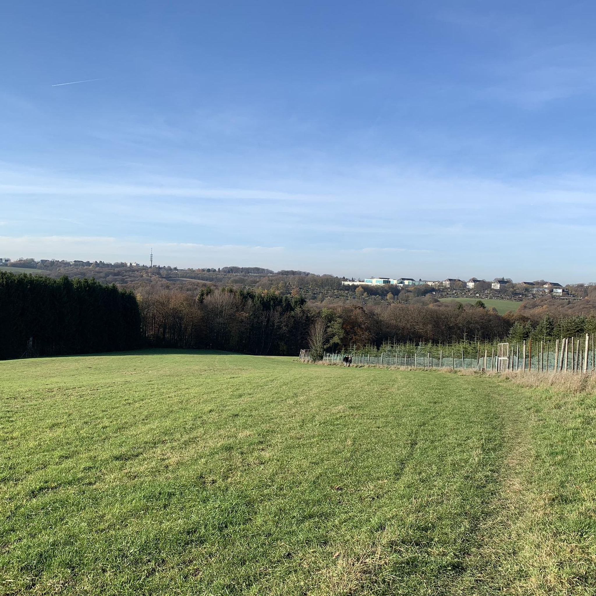
Gravel bike trails around Malroy feature a diverse mix of surfaces, including grassy roads, mixed-surface roads, and some sandy spots, particularly in areas resembling the Mallory Swamp region. You'll encounter routes that follow river systems, traverse forested sections, and open landscapes. While some paths are paved, many are unpaved, offering a true gravel biking experience.
How many gravel bike trails are available in the Malroy area?
There are over 75 gravel bike trails available around Malroy, catering to various skill levels. This includes 15 easy routes, 43 moderate routes, and 17 more challenging options for experienced riders.
Are there any family-friendly gravel biking routes in Malroy?
Yes, Malroy offers several easy gravel routes suitable for families. For instance, The Moselle at Metz – View of the River Moselle loop from Metz is an easy 24.6 km path with minimal elevation changes, perfect for a relaxed family outing along the river.
What are some challenging gravel bike routes for experienced riders in Malroy?
For experienced gravel bikers seeking a challenge, the Plan d'Eau de Metz – Blocaus plappeville loop from Metz is a difficult 42.2 km trail with a significant elevation gain of 526 meters, offering a demanding ride through varied terrain.
What kind of natural features and scenic views can I expect along the trails?
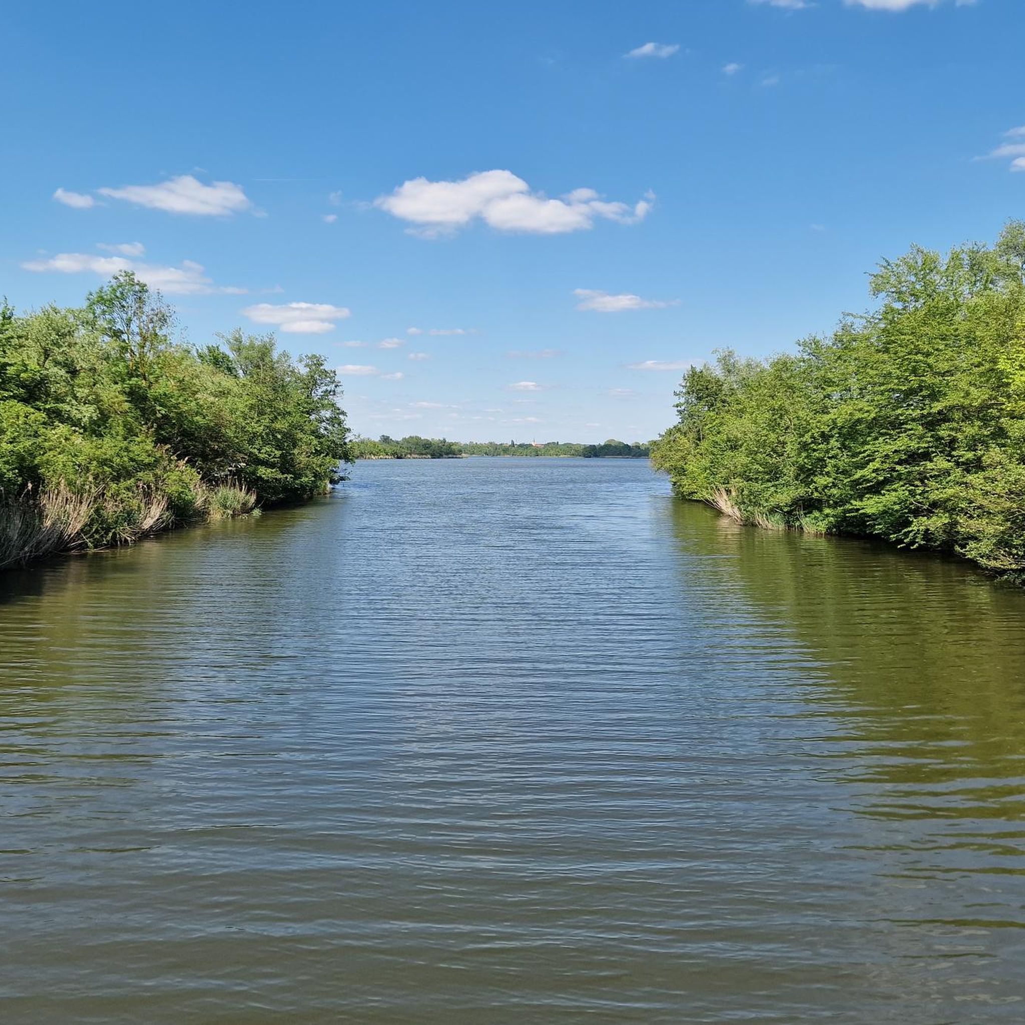
The trails often provide scenic views of waterways, such as the Moselle River, and rural environments. You'll ride through forested sections and open landscapes. The broader region, similar to Mallory Swamp, is known for diverse natural environments including cypress swamps, titi swamps, peat bogs, and uplands, offering opportunities for wildlife viewing.
Are there any historical landmarks or attractions near the gravel routes?
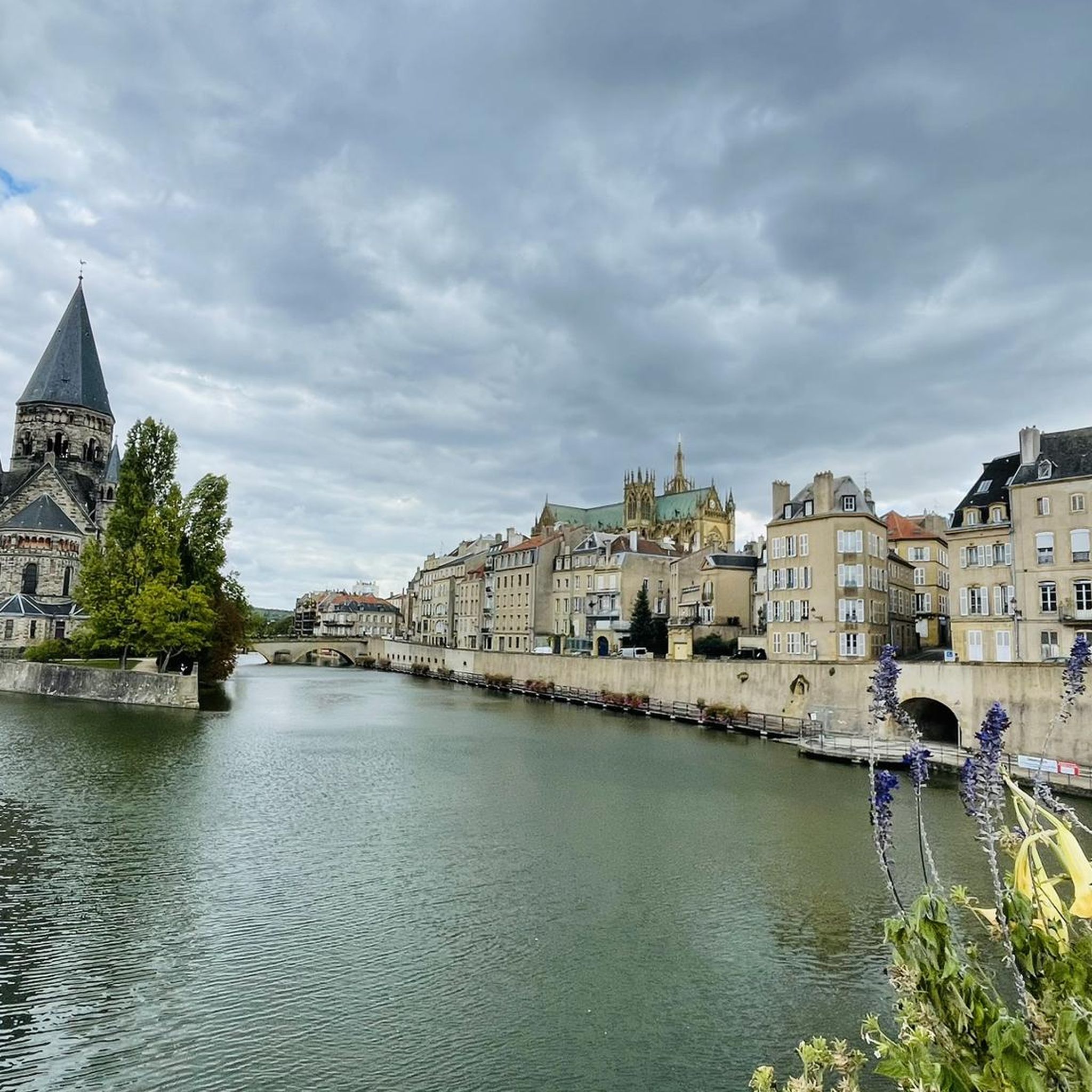
Yes, several historical landmarks and attractions are accessible near the gravel routes. You can explore sites like the Saint-Étienne Cathedral, the Porte des Allemands, and the Moyen Bridge. For those interested in castles, Fort Saint-Quentin and Mercy Castle are also nearby.
What do other gravel bikers say about the trails in Malroy?
The gravel biking routes in Malroy are highly rated by the komoot community, with an average score of 4.5 stars from nearly 100 reviews. Riders often praise the varied terrain, from easy riverside loops to challenging climbs, and the well-maintained mixed-surface roads that make for an enjoyable experience.
Are there any longer gravel routes for endurance training?
For longer rides, consider the Moselle Left-Bank Cycle Path – View of the River Moselle loop from Metz. This route is 52.0 km long and leads through picturesque riverside landscapes, typically completed in about 3 hours 24 minutes, making it ideal for endurance training.
What is the best time of year for gravel biking in Malroy?
While specific seasonal recommendations for Malroy are not detailed, regions with similar characteristics to Mallory Swamp often offer good conditions in spring and fall when temperatures are milder. Be aware that some areas might have sandy spots, which can be more challenging during dry periods.
Can I find routes that combine river views with other landscapes?
Absolutely. Many routes in Malroy are defined by river paths, offering continuous views of the waterways. For example, the Metz-Ville station – Seille spillway loop from Metz combines river views with other landscapes, providing a varied and engaging ride.
Are there any routes that pass through small towns or offer opportunities to explore local areas?
Yes, some routes traverse rural areas and may pass through or near small towns, offering a chance to experience local life. While not explicitly detailed for every route, the general character of the region suggests opportunities to explore local areas, similar to how routes in Mallory Swamp pass through towns like Mayo, Florida.
What is the typical elevation profile for gravel rides in Malroy?
Elevation changes in Malroy vary significantly. You can find routes with minimal elevation gain, such as easy riverside loops, as well as more challenging routes with notable climbs. For instance, the Blocaus plappeville – Le Petit Canada loop from Vantoux features over 400 meters of elevation gain, providing a good workout.
Most popular attractions around Malroy

Get inspired with the komoot mobile app


Explore more
Browse the best Gravel rides in other regions.
