The best gravel rides around Saint-Gervais-Les-Bains
4.7
(31)
290
riders
38
rides
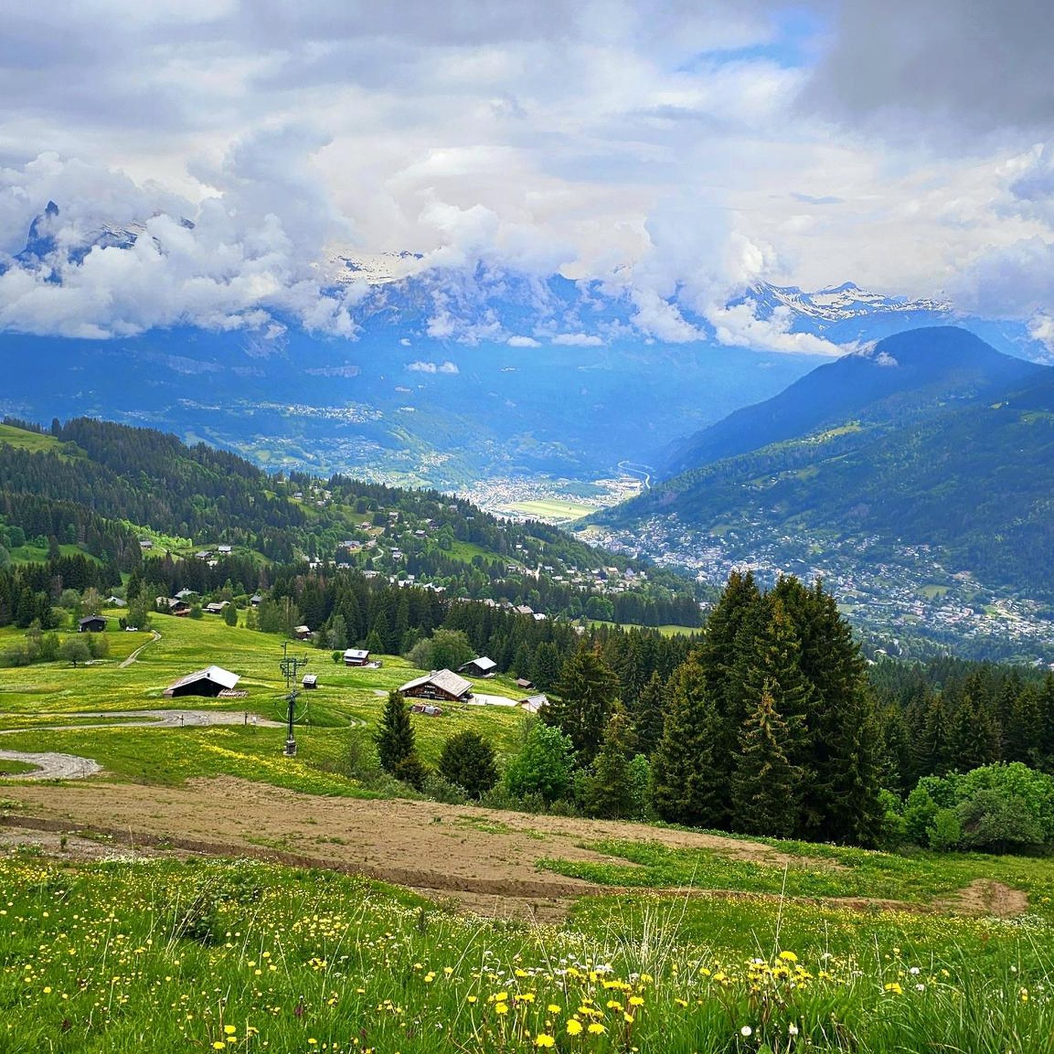
Gravel biking around Saint-Gervais-Les-Bains offers routes through varied alpine terrain, characterized by mountain valleys, forest paths, and views of the Mont Blanc massif. The region features a mix of ascents and descents, with trails often following river courses or old logging roads. Gravel bikers can expect a landscape shaped by glacial activity, with opportunities to explore both open areas and wooded sections. The network provides options ranging from easier valley loops to more challenging mountain climbs.
Best gravel bike trails…
Last updated: August 26, 2026
4.5
(4)
21
riders
43.6km
03:20
1,180m
1,180m
Hard gravel ride. Very good fitness required. Mostly paved surfaces. Suitable for all skill levels.
4.5
(4)
41
riders
43.8km
03:14
1,010m
1,010m
Hard gravel ride. Very good fitness required. Mostly paved surfaces. Suitable for all skill levels.

Sign up for free
4
riders
26.1km
02:24
960m
960m
Hard gravel ride. Very good fitness required. Mostly paved surfaces. Suitable for all skill levels.
3
riders
17.3km
01:55
940m
940m
Hard gravel ride. Very good fitness required. Mostly paved surfaces. Suitable for all skill levels.
4.2
(5)
18
riders
Hard gravel ride. Very good fitness required. Mostly paved surfaces. Suitable for all skill levels.
Get access to more routes and recommendations from other explorers.
Sign up for free
Already have an account?
Our route recommendations are based on thousands of hikes, rides, and runs completed by other people on komoot.
Start today with a free account
Your next adventure awaits.
Login or Signup
Popular around Saint-Gervais-Les-Bains
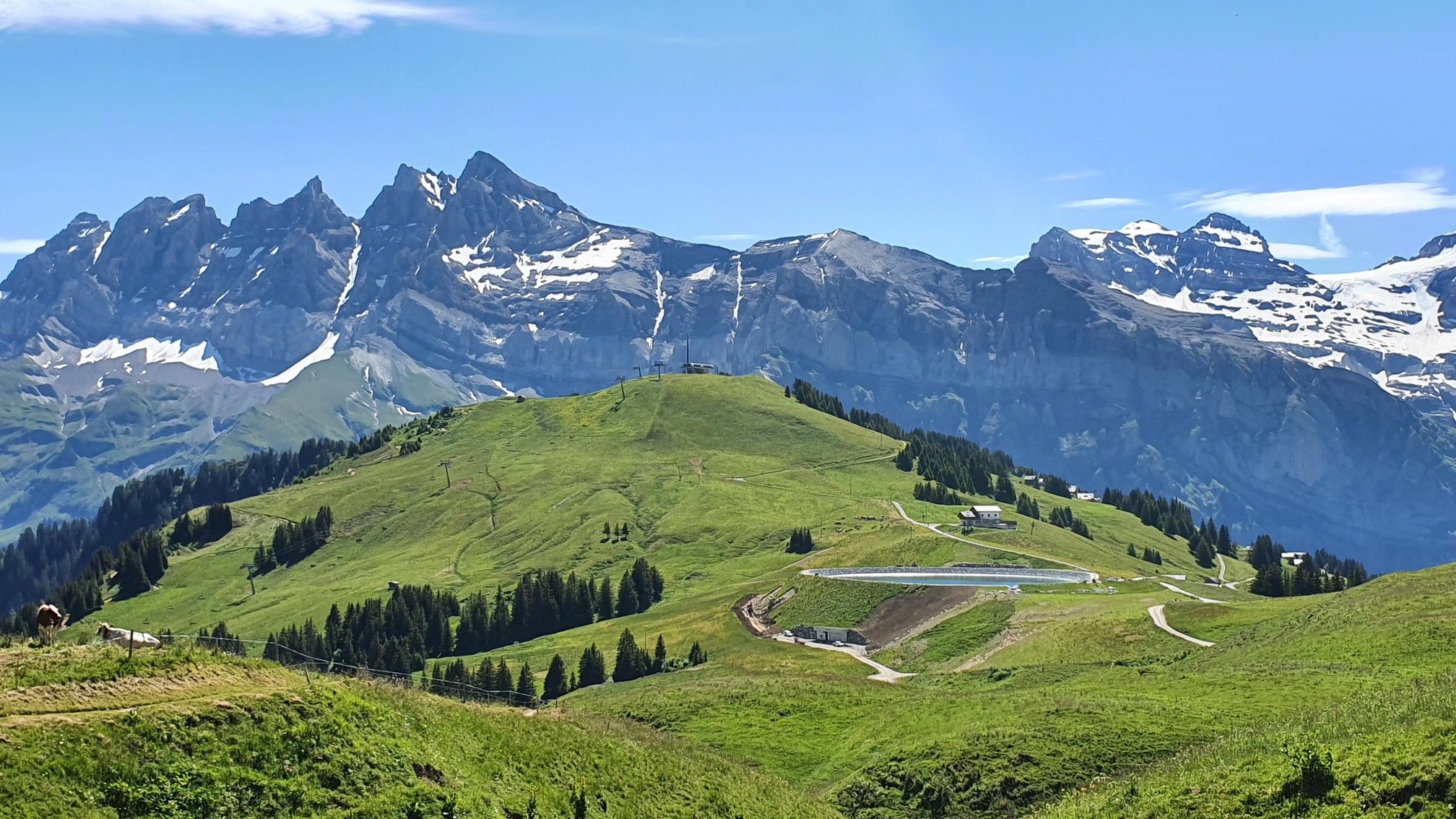
Europe Trail (GR 5) – Hike from Landry to Thonon-les-Bains
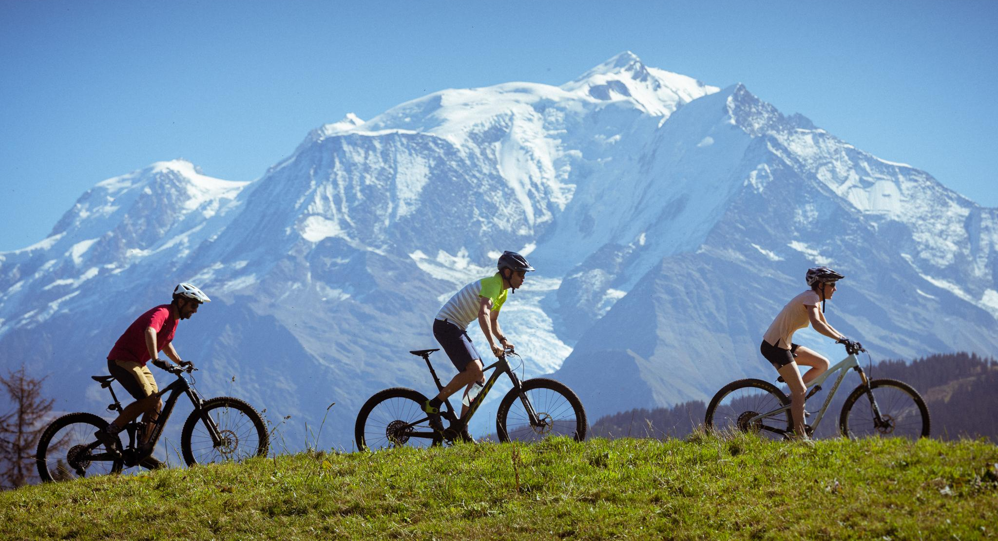
Nature and mountain biking in Haute-Savoie Mont-Blanc
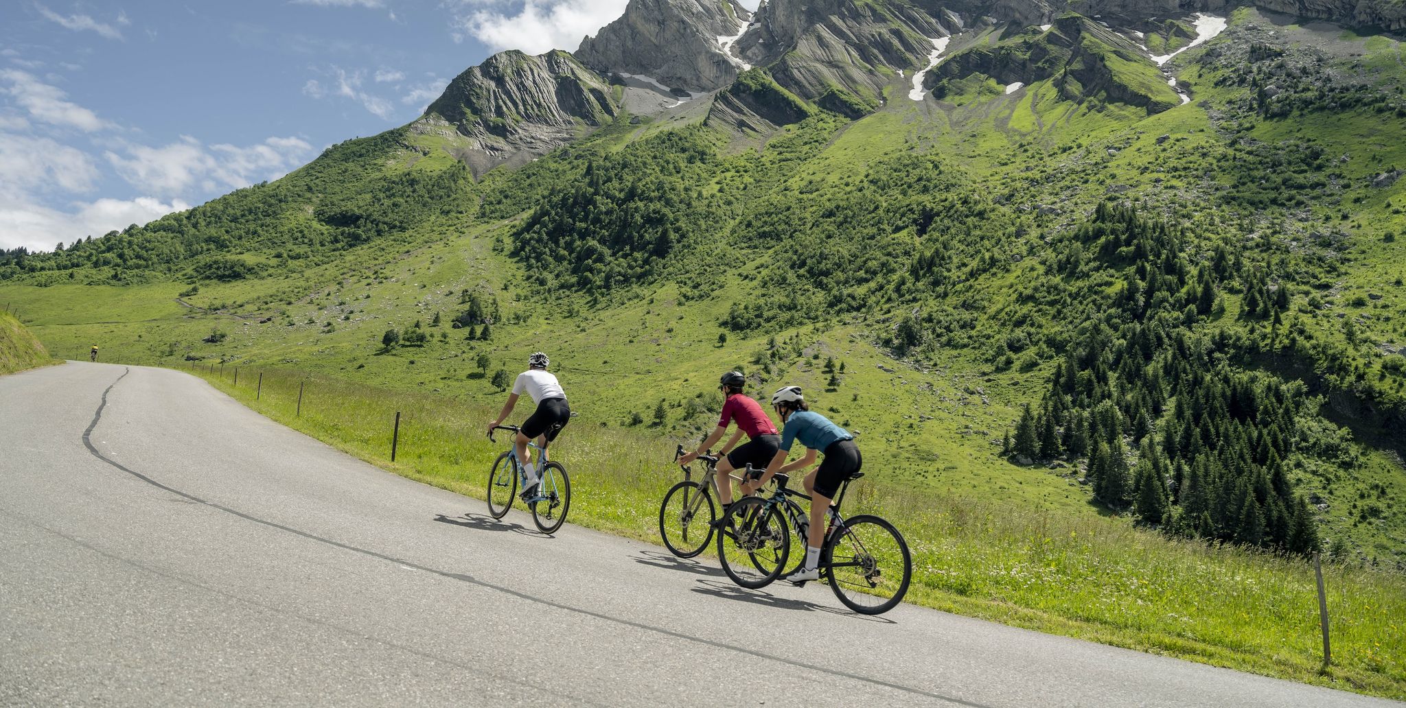
10 wonderful Tours in Savoie and Haute-Savoie – easily accessible by train
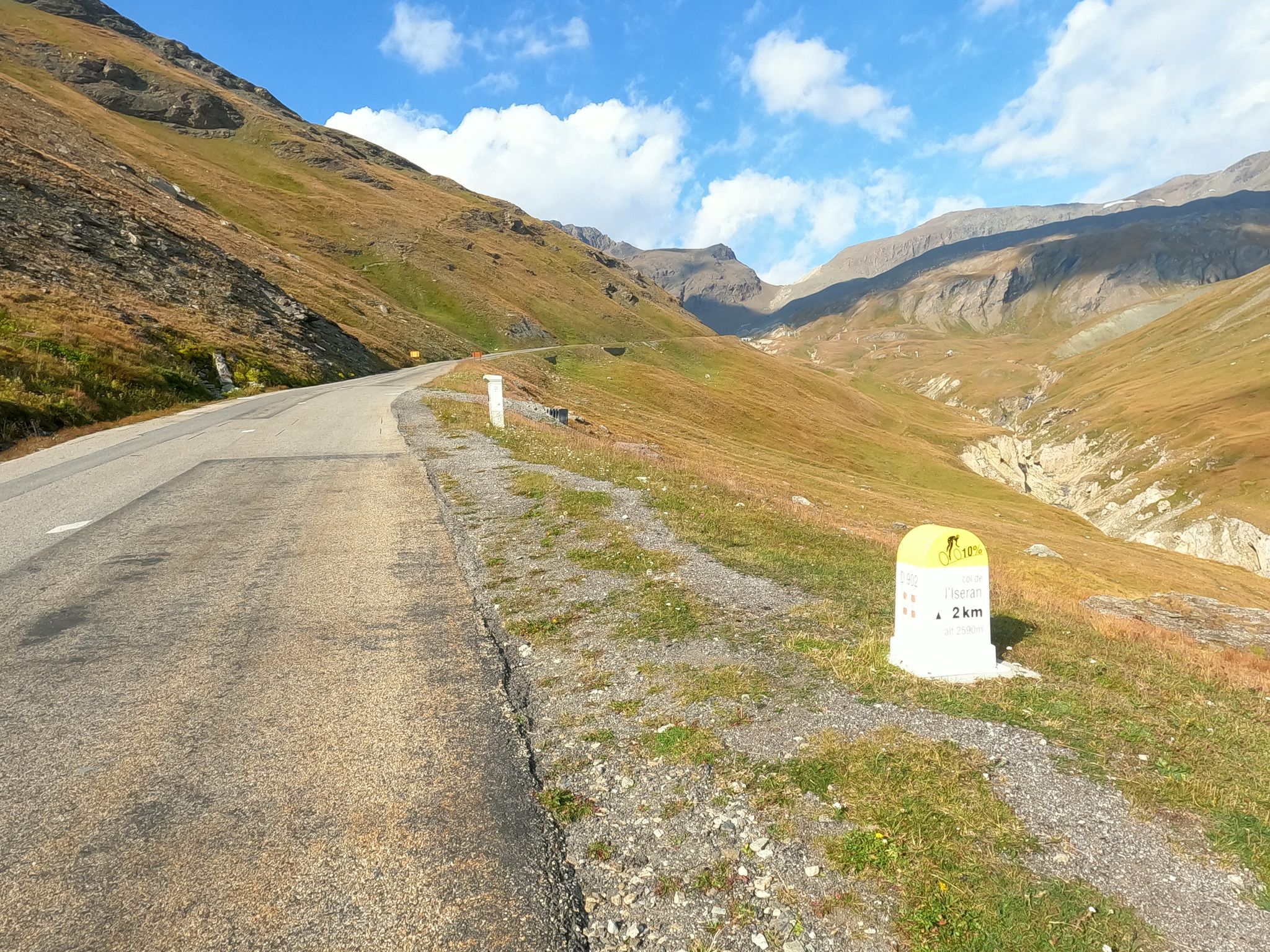
Escape to the Alps – Chiappucci's feat at the 1992 Tour de France

Hike from Savoie to Vanoise – Hexatrek in France’s Northern Alps
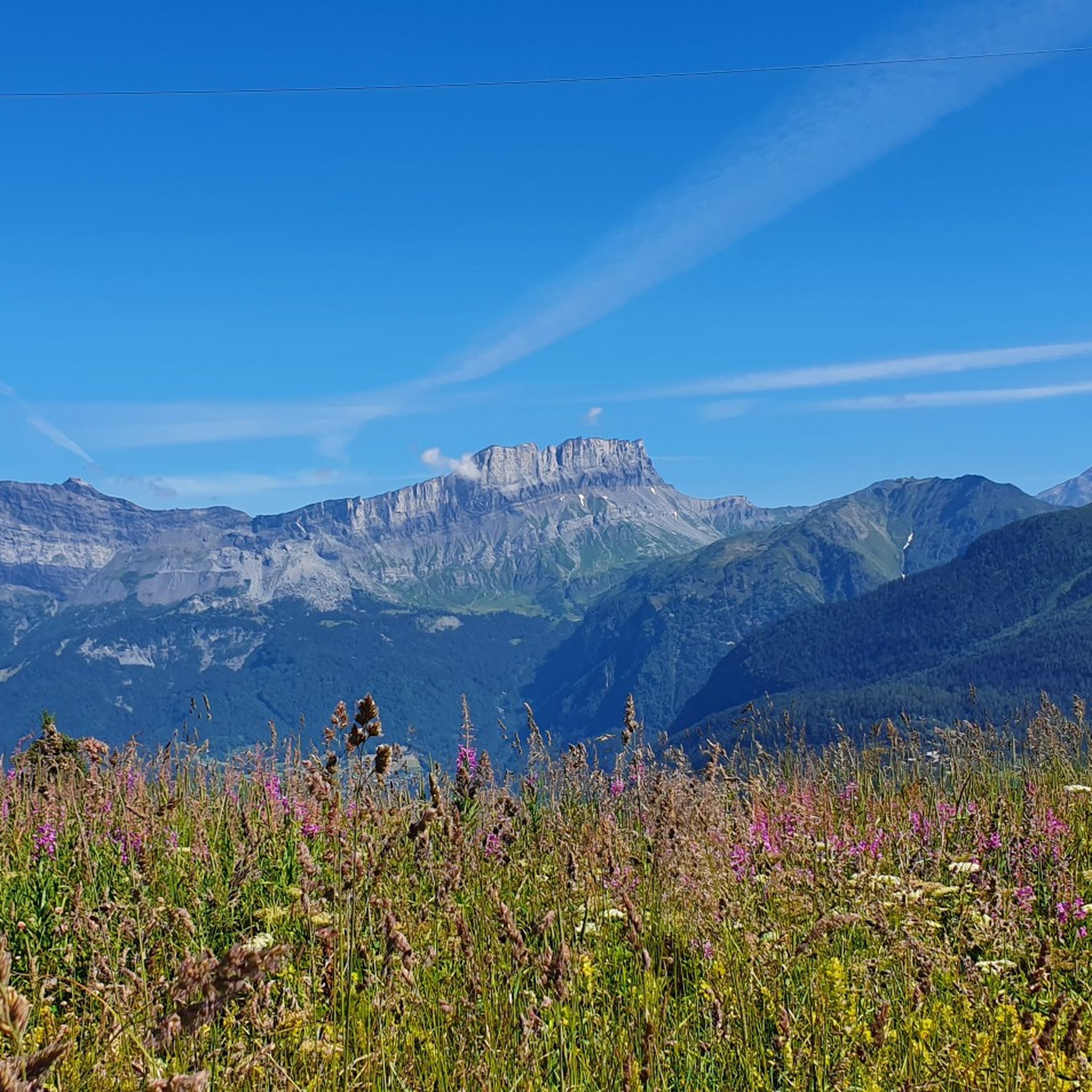
Hiking around Saint-Gervais-Les-Bains
Road Cycling Routes around Saint-Gervais-Les-Bains
Cycling around Saint-Gervais-Les-Bains
MTB Trails around Saint-Gervais-Les-Bains
Running Trails around Saint-Gervais-Les-Bains
Other adventures around Saint-Gervais-Les-Bains


Tips from the Community

Small side road in Praz-sur-Arly
2
0

(Non-electric mountain bike with baby carrier) The start is on a paved road, with some steep climbs, up to the restaurant (closed in summer). Then it's a fairly smooth ride before tackling the climb to Mont Clocher. Be careful, it's very steady but requires a significant effort. The descent is gentle; you can finish with the green DH trail for the more adventurous!
0
0

The oldest house in the Chamonix-Mont-Blanc valley, the Maison du Lieutenant is now an interpretation center dedicated to mountain agriculture, its environment, its products, and its expertise. A space for living and sharing, it offers a comprehensive and varied program of activities, workshops, and outings throughout the year to (re)discover the richness of our region: Alpine cultural heritage, farms and mountain pastures, natural spaces, and the tastes and flavors of Mont Blanc. Throughout the year, visit the Maison du Lieutenant with your family, its permanent and temporary exhibitions, and explore the region through the many activities and outings on offer.
0
0
Point of intersection On the Meadows Altitude 1857m
1
0
Intersection point Pré Rosset Altitude 1888m
1
0

Nice little road, perfect surface and little traffic.
1
0

Small station on the railway line from Le Fayet to Chamonix
3
0
Frequently Asked Questions
What types of gravel bike trails can I expect around Saint-Gervais-Les-Bains?
The region offers a diverse range of gravel biking experiences, characterized by alpine valleys, forest paths, and stunning views of the Mont Blanc massif. You'll find a mix of ascents and descents, with trails often following river courses or old logging roads through landscapes shaped by glacial activity. Options range from easier valley loops to more challenging mountain climbs.
Are there any easy gravel bike trails suitable for beginners or families?
Yes, there are several easier options. For a relatively flat and scenic ride, consider the Third Lake at Les Ilettes – Lac des Ilettes loop from Le Fayet - Gare. This route is rated easy, covers about 16.3 miles (26.2 km), and features minimal elevation gain, making it a good choice for those looking for a relaxed outing.
What are some longer gravel routes for experienced riders?
For a more challenging and longer ride, the Vaudagne Road – View of Bosson glacier loop from Le Fayet - Gare is a popular choice. This difficult route spans 30.6 miles (49.3 km) with significant elevation gain, offering expansive views of the Bosson glacier. Another demanding option is the Pont Vieux de Cluses – Arpenaz Waterfall loop from Le Fayet - Gare, which is 32.2 miles (51.8 km) long and includes sections near the impressive Arpenaz Waterfall.
What is the best time of year for gravel biking in Saint-Gervais-Les-Bains?
The prime season for gravel biking in Saint-Gervais-Les-Bains typically runs from late spring through early autumn (May to October). During these months, the weather is generally mild, and most trails are free of snow, offering the best conditions for exploring the alpine terrain. Some lower-elevation routes might be accessible earlier or later, but always check local conditions.
Can I find gravel bike routes with views of Mont Blanc?
Absolutely. Many routes in the area offer spectacular views of the Mont Blanc massif. A notable option is the View of Mont Blanc – Chamonix loop from Les Houches, a moderate 14.8-mile (23.7 km) trail that winds through mountain valleys with direct vistas of Mont Blanc. Another route, the "Gateway" to Mont Blanc – View of Bosson glacier loop from Les Houches, also provides excellent glacier views.
Are there any attractions or landmarks I can visit along the gravel bike trails?
Yes, the region is rich in natural beauty and points of interest. You can find trails that pass by the impressive Lac du Miage or offer views towards the iconic Aiguille du Midi. Some routes also lead near the charming town of Chamonix, offering opportunities to explore beyond the saddle.
Are the gravel bike trails in Saint-Gervais-Les-Bains typically loop routes?
Many of the gravel bike trails around Saint-Gervais-Les-Bains are designed as loops, allowing you to start and finish at the same point. This is convenient for parking and logistics. Examples include the Vaudagne Road – View of Bosson glacier loop from Le Fayet - Gare and the View of Mont Blanc – Chamonix loop from Les Houches.
What do other gravel bikers say about the trails in Saint-Gervais-Les-Bains?
The gravel biking routes in Saint-Gervais-Les-Bains are highly rated by the komoot community, with an average score of 4.4 stars from over 80 reviews. Reviewers often praise the varied terrain, the stunning alpine scenery, and the well-maintained paths that offer a true mountain biking experience.
Is public transport available to access the trailheads?
Saint-Gervais-Les-Bains is well-connected by public transport, particularly by train and bus services that link to nearby towns like Le Fayet and Les Houches. Many trailheads are accessible from these transport hubs, making it possible to reach routes without a car. It's advisable to check local bus and train schedules for specific trailhead access.
Are there parking facilities available near the gravel bike trail starting points?
Yes, you'll find various parking options in and around Saint-Gervais-Les-Bains, particularly in key starting locations like Le Fayet - Gare and Les Houches. These areas often have designated parking lots suitable for day-trippers. Always check local signage for any parking restrictions or fees.
Can I find cafes or places to refuel along the gravel bike routes?
While many routes venture into natural, less populated areas, you'll often find opportunities to refuel in the villages and towns that the trails pass through or near. Saint-Gervais-Les-Bains itself, as well as nearby Chamonix and other smaller hamlets, offer cafes, bakeries, and restaurants. It's always a good idea to carry sufficient water and snacks, especially on longer or more remote sections.
Most popular routes around Saint-Gervais-Les-Bains
Most popular attractions around Saint-Gervais-Les-Bains

Get inspired with the komoot mobile app


Explore more
Browse the best Gravel rides in other regions.
