The best gravel rides around Contamine-Sarzin
4.5
(5)
51
riders
12
rides
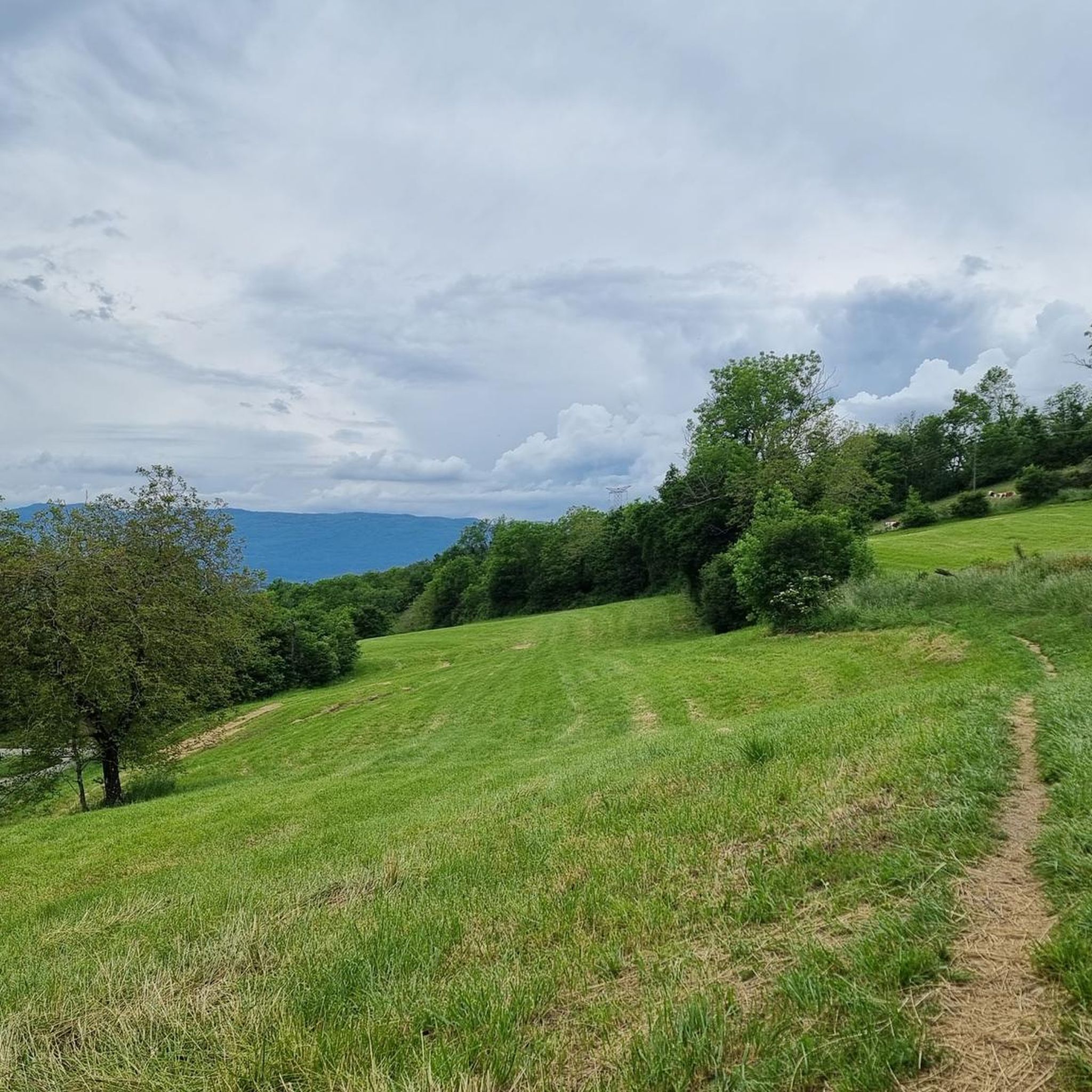
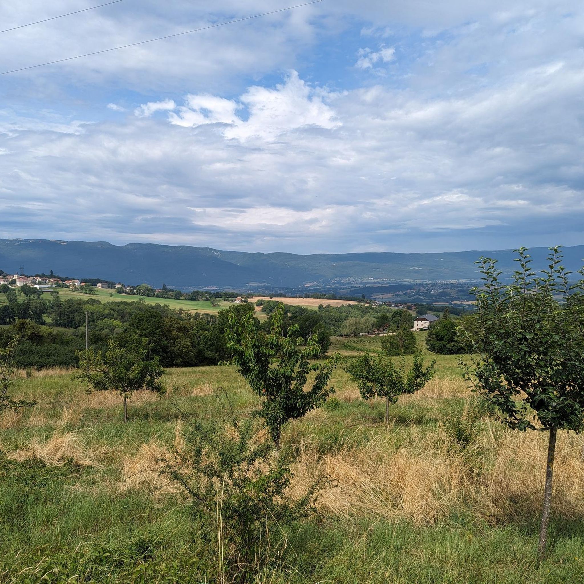
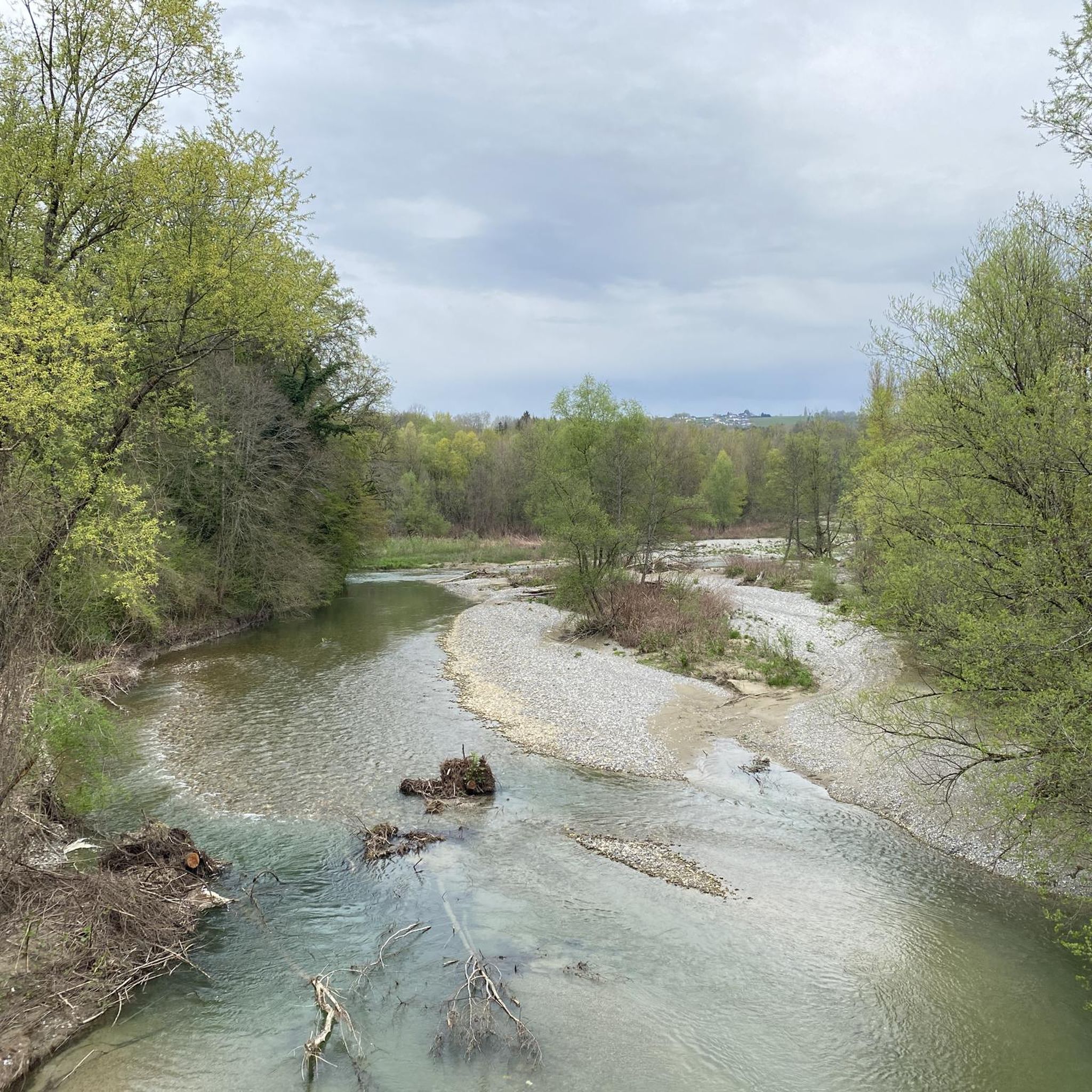
Gravel biking around Contamine-Sarzin offers access to the diverse landscapes of Haute-Savoie, characterized by rolling countryside, river valleys, and mountainous terrain. The region features hilly relief and is traversed by torrents and the Usses river, with the Vuache mountain to the southeast. Varied surfaces include paved sections through villages, gravel paths, and forest roads. Riders can expect views of the Alps and routes that traverse woodlands and alpine pastures.
Best gravel bike trails around Contamine-Sarzin
- The most popular gravel bike…
Last updated: July 3, 2026
5.0
(1)
3
riders
12.5km
01:05
310m
310m
Moderate gravel ride. Good fitness required. Mostly paved surfaces. Suitable for all skill levels.
4.0
(4)
25
riders
64.8km
04:26
1,070m
1,070m
Hard gravel ride. Very good fitness required. Mostly paved surfaces. Suitable for all skill levels.

Sign up for free
4
riders
32.8km
02:20
530m
530m
Hard gravel ride. Very good fitness required. Mostly paved surfaces. Suitable for all skill levels.
1
riders
21.3km
01:52
490m
490m
Hard gravel ride. Very good fitness required. Mostly paved surfaces. Suitable for all skill levels.
2
riders
32.1km
02:17
590m
590m
Hard gravel ride. Very good fitness required. Mostly paved surfaces. Suitable for all skill levels.
Get access to more routes and recommendations from other explorers.
Sign up for free
Already have an account?
Our route recommendations are based on thousands of hikes, rides, and runs completed by other people on komoot.
Start today with a free account
Your next adventure awaits.
Login or Signup
Tips from the Community

A beautiful route between Yvoire and Annecy mostly via cycle paths and country roads.
0
0


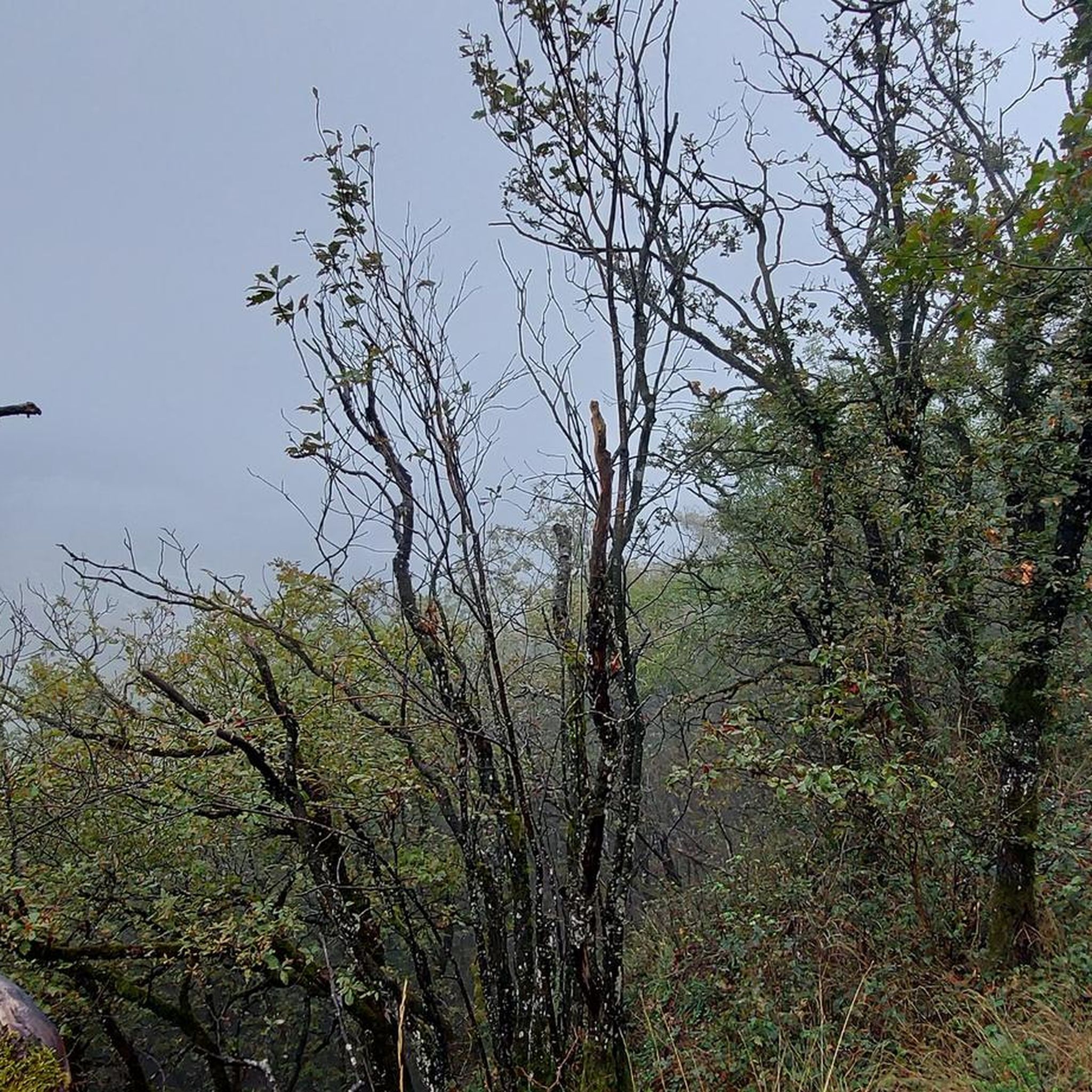
Very beautiful view of the Geneva basin
1
0

This lake is divided into a large lake and a small canal. Trout fishing is practiced here, as well as carp fishing. Special permits are available in several shops and bars in town. Main fish: rainbow trout, carp, roach, bream, catfish, pike, perch, etc. Depth: generally 1.5m to 2m, but near the dike, it can be between 4 and 5m.
1
0
Intersection point les Dronières (Parking) Altitude 790m
1
0
Intersection point Les Dronières Altitude 790m
0
0
Intersection point Les Dronières Altitude 790m
1
0

Very nice route for discovering Gravel
0
1
Frequently Asked Questions
How many gravel bike trails are available around Contamine-Sarzin?
There are over 20 gravel bike trails in the Contamine-Sarzin area, offering a wide range of options for exploring the diverse landscapes of Haute-Savoie. More than 160 gravel bikers have already used komoot to discover these routes.
What kind of terrain can I expect on gravel bike trails near Contamine-Sarzin?
The region offers a diverse topography, from rolling countryside and river valleys to mountainous terrain. You'll encounter a mix of surfaces, including paved sections through charming villages, dedicated gravel paths, and forest roads. Be prepared for varied conditions, as many alpine gravel routes can be steep, loose, and rocky.
What are the typical difficulty levels for gravel biking in this region?
Gravel biking around Contamine-Sarzin tends to be challenging, with 15 out of 22 routes classified as difficult. These alpine routes often feature significant elevation gains and technical sections, making them suitable for experienced riders. However, the varied network also offers options for different ability levels.
Are there any circular gravel bike routes around Contamine-Sarzin?
Yes, many routes in the area are designed as loops. For example, the Caille Bridge – Lake Annecy Tour loop from Cruseilles is a popular difficult route connecting the Caille Bridge with Lake Annecy. Another option is the Seyssel – Old bridge of Seyssel loop from Chavannaz, which explores the historic area around Seyssel.
What natural features or landmarks can I see along the gravel bike trails?
The trails offer stunning alpine scenery, with potential glimpses of Mont Blanc and Lake Geneva. You'll traverse through woodlands and alpine pastures. Notable nearby attractions include the impressive Caille Bridge and the dramatic La Tine de Parrant gorge. You might also encounter historical sites like the Ruins of the Bains de la Caille.
Are there any castles or historical sites accessible by gravel bike?
Yes, the region is rich in history. You can find several castles nearby, such as the Château d'Arcine, Château des Avenières, and Château de Clermont-en-Genevois. These often provide picturesque stops along your ride.
What do other gravel bikers enjoy the most about gravel biking in Contamine-Sarzin?
The area is highly rated by the komoot community, with an average score of 4.7 stars. Riders frequently praise the diverse terrain, the stunning views of the Alps, and the opportunity to explore both challenging mountain paths and scenic river routes.
Are there any routes with good viewpoints of Annecy and its lake?
Yes, some routes offer excellent panoramic views. The Viewpoint – View of Annecy and the Lake loop from Sillingy is a great option for capturing those iconic vistas of Lake Annecy and the surrounding area.
What are some less crowded gravel trails in the Contamine-Sarzin area?
While popular routes like those around Lake Annecy can see more traffic, exploring the paths along the Usses River, such as the Les Usses River Picnic Spot – Lake Dronières loop from Cruseilles, can offer a more tranquil experience. The broader Haute-Savoie network also provides numerous less-traveled forest roads and rural paths.
What kind of gear is recommended for gravel biking in Contamine-Sarzin?
Given the varied and often challenging terrain, including steep, loose, and rocky sections, it's recommended to use gravel tires of at least 40mm for better grip and comfort. Appropriate gearing for climbing is also advisable due to the significant elevation gains on many routes.
Is Contamine-Sarzin a good base for exploring larger gravel biking networks?
Absolutely. Contamine-Sarzin's strategic location in Haute-Savoie makes it an excellent base for accessing renowned cycling routes. You're well-positioned to explore sections of the iconic Route des Grandes Alpes Gravel® or the extensive gravel network around Lake Annecy and the Col de la Forclaz.
Most popular routes around Contamine-Sarzin
Most popular attractions around Contamine-Sarzin

Get inspired with the komoot mobile app


Explore more
Browse the best Gravel rides in other regions.
