The best gravel rides around Woll
4.4
(144)
1,021
riders
18
rides
Gravel biking around Woll offers a network of routes primarily situated in a mountainous region, characterized by dense forests, high-altitude passes (cols), and glacial lakes. The terrain features significant elevation changes, providing challenging climbs and descents on varied surfaces. This area is known for its natural landscapes, including peaks and valleys, which define the gravel biking experience.
Best gravel bike trails around Woll
- The most popular gravel bike trail is Grand Ballon – Markstein loop from Belle Hutte, a…
Last updated: October 6, 2026
4.6
(5)
22
riders
25.3km
02:10
690m
690m
Hard gravel ride. Very good fitness required. Mostly paved surfaces. Suitable for all skill levels.
4.9
(7)
108
riders
87.2km
06:13
2,040m
2,040m
Hard gravel ride. Very good fitness required. Mostly paved surfaces. Suitable for all skill levels.

4.5
(11)
56
riders
51.5km
03:22
960m
960m
Hard gravel ride. Very good fitness required. Mostly paved surfaces. Suitable for all skill levels.
4.3
(4)
36
riders
57.9km
04:56
1,490m
1,490m
Hard gravel ride. Very good fitness required. Mostly paved surfaces. Suitable for all skill levels.
5.0
(3)
43
riders
Hard gravel ride. Very good fitness required. Mostly paved surfaces. Suitable for all skill levels.
Get access to more routes and recommendations from other explorers.
Already have an account?
Our route recommendations are based on thousands of hikes, rides, and runs completed by other people on komoot.
Start today with a free account
Your next adventure awaits.



Tips from the Community

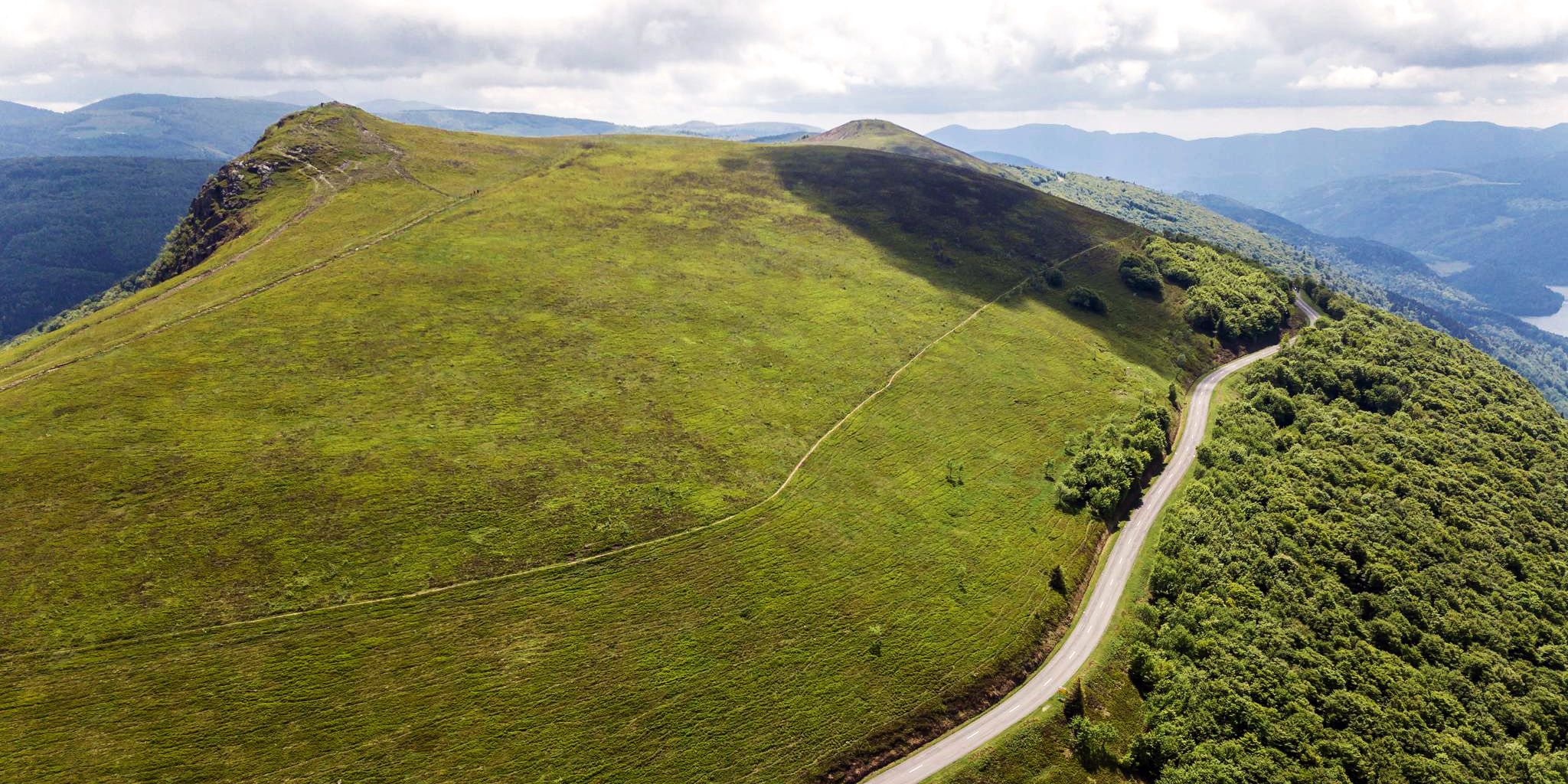
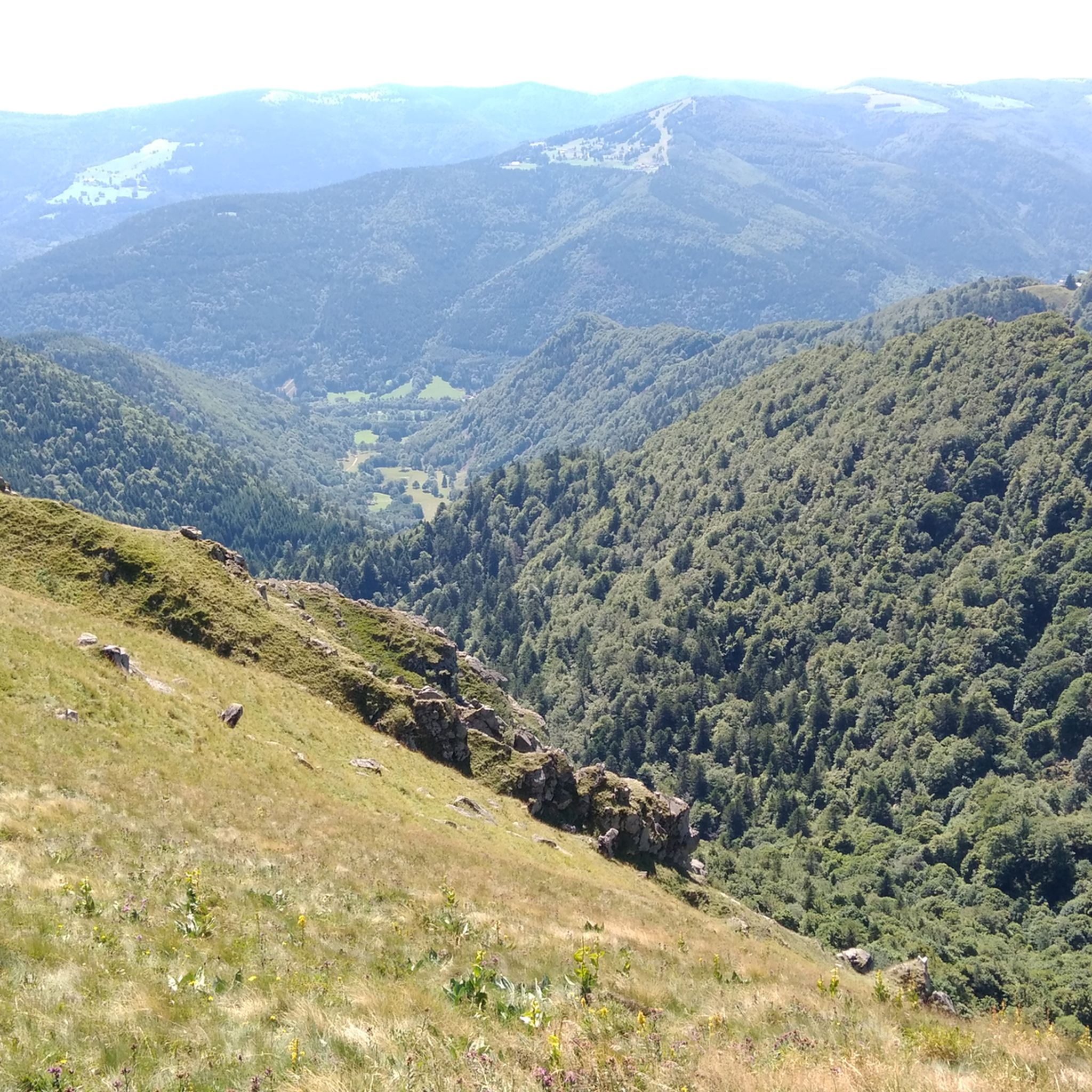
When you drive from the Route des Crêtes towards Le Grand Ballon, you pass the Col du Haag (1233 m) almost unnoticed. Yet, this pass marks a special point on the southern flank of the highest mountain in the Vosges. Here, steep roads from the Thurdal leave the wooded slopes and reach the open heights of the massif. From the col, a typical Vosges landscape unfolds with mountain meadows, scattered farms, and sweeping views. The proximity of the Grand Ballon is felt everywhere: the imposing summit towers above the pass and forms the natural goal of the final climbing kilometers. For cyclists, the Col du Haag is mainly known as the point where difficult climbs from the valleys converge before the road continues to rise to the highest point of the Vosges.
4
0
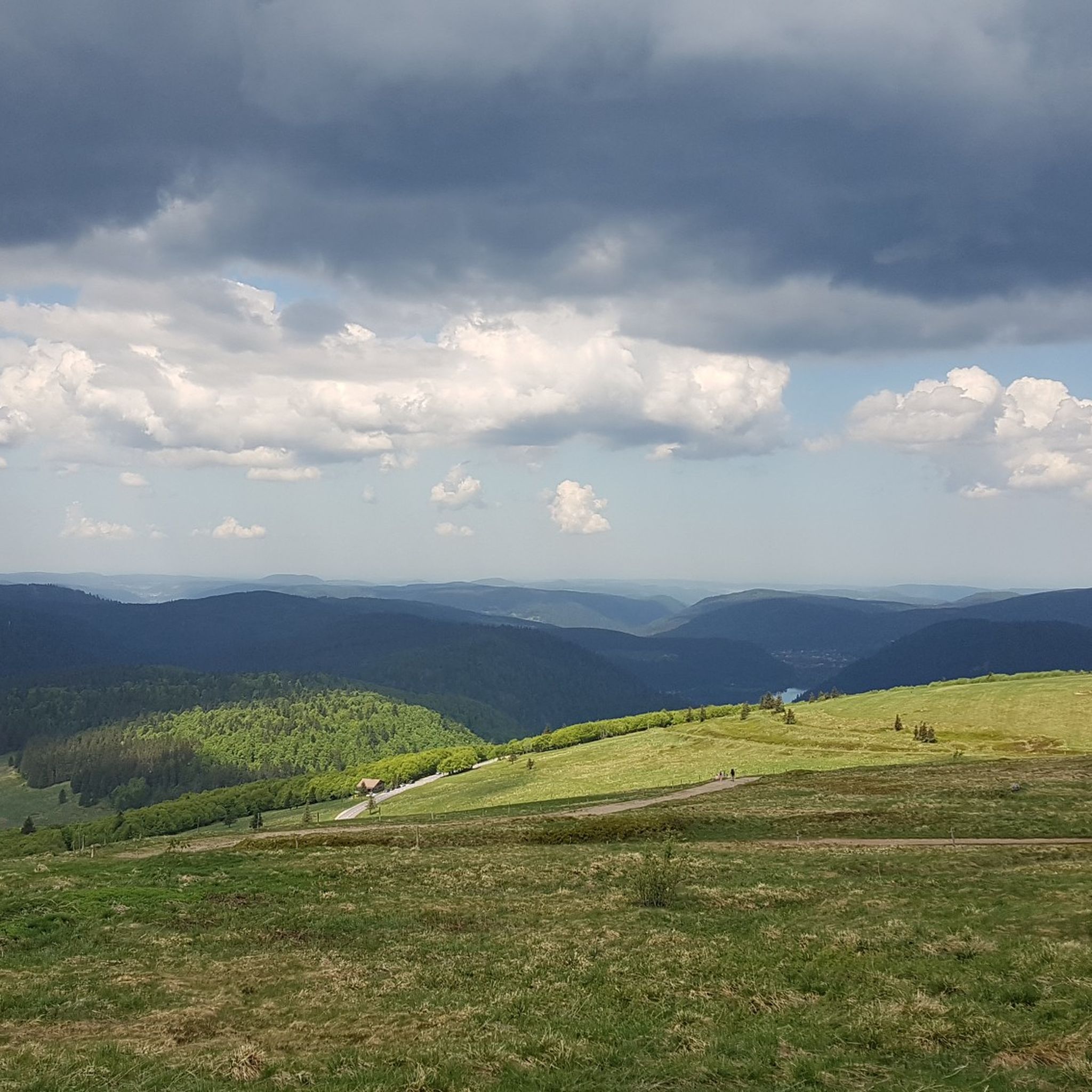
Le Markstein (1184 m) is meer dan alleen een kruispunt op de Route des Crêtes. Het is echter een echte bergpas en het hoogste punt van de oversteek tussen het Lauch- en Thurdal. Het ligt in het hart van het Vogezenmassief, midden een populair wintersportgebied dat nauw verbonden is met de Grand Ballon
4
0
There are no restaurants or cafes at the summit of the Col de Bramont itself. However, the pass serves as a strategic junction. From the summit, you can directly connect to the famous Route des Crêtes (the D431), which links the main mountain peaks of the Vosges. This allows you to easily cycle or hike to larger attractions nearby, such as the Col de la Schlucht, the Hohneck, or the Grand Ballon. The climb is enjoyable due to its 12 hairpin bends on the southern flank (Kruth).
5
0
Stuwdam Lac de Kruth‑Wildenstein View over the quiet mountain lake on one side, and on the other side the steep, wooded rock face of the Thur valley.
6
0

Brilliant ascent to the pass relatively quiet with a pleasant gradient
4
0

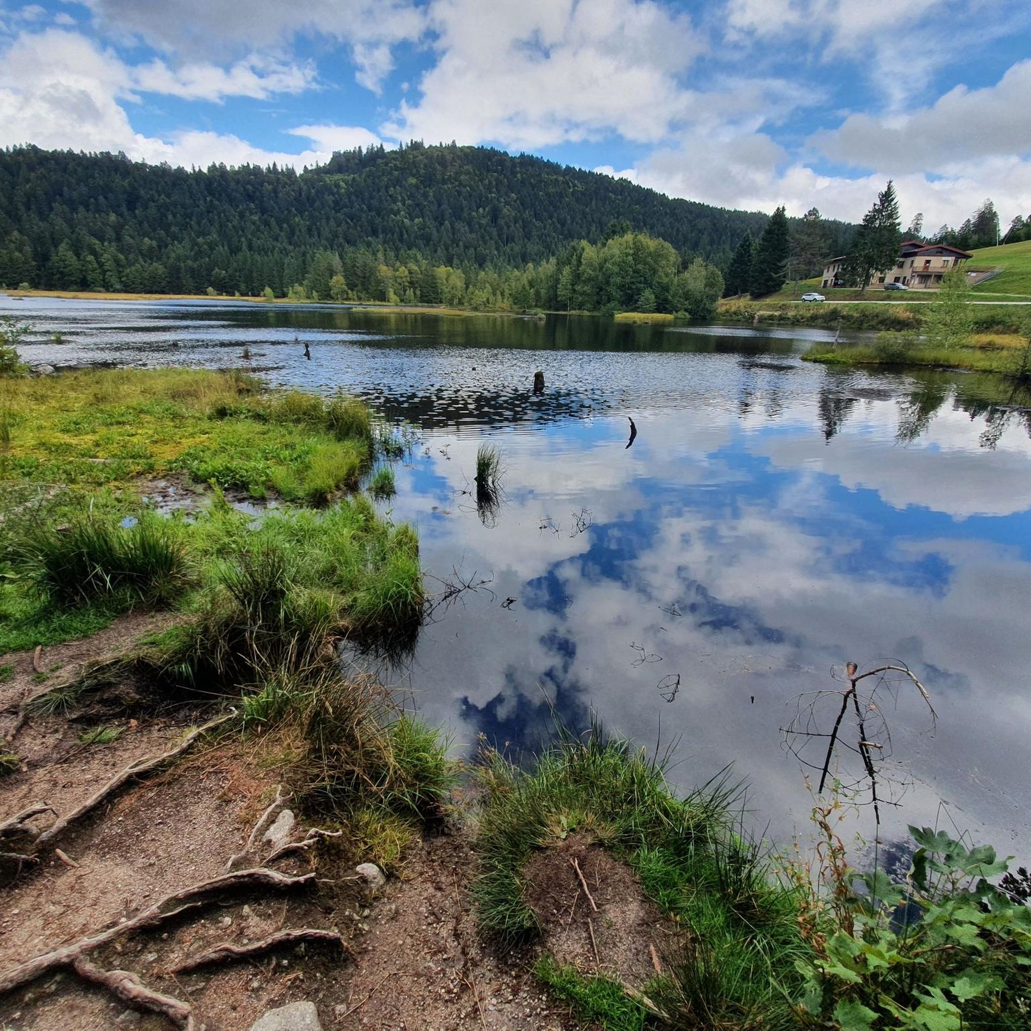
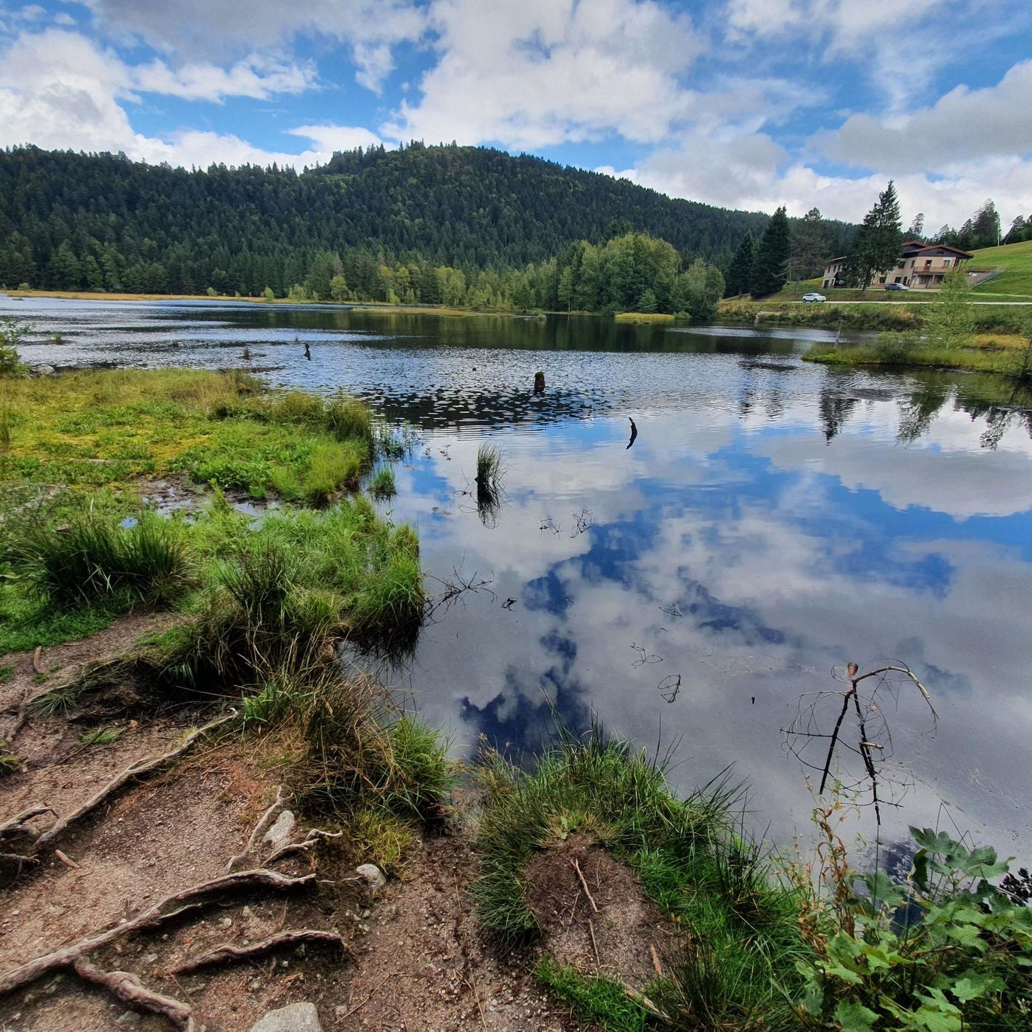
The Sèchemer pond is a small pond that you will find 40 minutes walk from the Lac des Corbeaux. It is possible to get there on foot or by mountain bike. Peaceful and quiet, you can stop there for a picnic and to admire the many dragonflies.
1
0
This is the starting point for many hikes.
3
1

Beautiful viewpoint from restaurant Tre.
0
0
Frequently Asked Questions
How many gravel bike trails are available in Woll?
There are over 25 gravel bike trails around Woll, offering a variety of routes through mountainous terrain, dense forests, and high-altitude passes.
What is the general difficulty level of gravel biking in Woll?
The routes in Woll are primarily challenging, with 21 difficult routes and 5 moderate routes. The terrain features significant elevation changes, providing demanding climbs and descents on varied surfaces, making it ideal for experienced riders.
Are there any family-friendly gravel biking options in Woll?
Given the predominantly difficult and moderate routes with significant elevation changes, Woll's gravel biking network is generally more suited for experienced riders. There are no specifically designated easy or family-friendly routes listed in this guide.
What kind of scenery can I expect on gravel bike trails in Woll?
Gravel biking in Woll offers stunning natural landscapes, including dense forests, high-altitude passes (cols), and glacial lakes. You'll experience mountainous terrain with peaks and valleys, providing a scenic and challenging ride.
Are there any circular gravel bike routes in Woll?
Yes, many of the gravel bike routes in Woll are designed as loops. For example, you can explore the Grand Ballon – Markstein loop from Belle Hutte, or the Col de Bramont – Lac de Blanchemer loop from Belle Hutte, which combines mountain passes with scenic lake views.
What are some notable landmarks or attractions I might see along the gravel trails?
Along the gravel trails, you'll encounter various mountain passes and historical sites. Highlights include the Col de la Schlucht and Col de Bramont. You might also pass by the French military cemetery at Col du Wettstein.
Are there places to stop for refreshments or shelter along the routes?
Yes, the region features several huts and farm inns that can serve as refreshment stops or shelters. Consider visiting the Ferme Auberge du Frankenthal or the Kahlenwasen Farm Inn.
What do other gravel bikers enjoy most about Woll?
The area is highly rated by the komoot community, with an average score of 4.7 stars from over 65 reviews. Riders often praise the challenging mountainous terrain, dense forests, and the rewarding high-altitude passes.
How long do gravel bike trails in Woll typically take to complete?
The duration varies significantly depending on the route and your pace. For instance, the Lake Retournemer – Col de la Schlucht loop from Belle Hutte, which is 32.0 miles (51.5 km), often takes about 4 hours 15 minutes. Longer routes like the Crows' Lake – The Grand Ventron loop from Le Régit, at 47.2 miles (75.9 km), can take over 4.5 hours.
Is public transport available to access gravel trails in Woll?
The guide data does not specify public transport options directly to the trailheads. Given the mountainous and forested nature of the region, access might be more limited to personal vehicles or local shuttle services. It's advisable to check local transport information for specific starting points.
Where can I find parking near the gravel bike trails?
Specific parking locations are not detailed in the guide. However, many routes, such as those starting from Belle Hutte or Basse des Feignes, typically have designated parking areas nearby. It's recommended to check the individual route details on komoot for parking information at the starting points.
What is the best time of year for gravel biking in Woll?
The guide describes Woll as a mountainous region with high-altitude passes. This suggests that late spring, summer, and early autumn would likely offer the most favorable conditions, avoiding snow and ice that might be present in winter and early spring at higher elevations.
Most popular attractions around Woll

Get inspired with the komoot mobile app


Explore more
Browse the best Gravel rides in other regions.
