The best gravel rides around Bolsenheim
4.2
(23)
172
riders
31
rides
Gravel biking around Bolsenheim offers access to the diverse landscapes of the Alsace region, characterized by the flat plains of the Rhine Valley and the Grand Ried. The area features a network of paths along the Canal du Rhône au Rhin, with sections of fine gravel ideal for cycling. Nearby, the foothills of the Vosges Mountains and the Alsace Wine Route provide more varied terrain, including vineyard trails and quiet country roads. This blend of riverine environments, agricultural plains, and…
Last updated: July 3, 2026
3.5
(6)
15
riders
33.4km
02:26
470m
470m
Hard gravel ride. Very good fitness required. Mostly paved surfaces. Suitable for all skill levels.
4.0
(3)
21
riders
29.6km
02:10
630m
630m
Hard gravel ride. Very good fitness required. Mostly paved surfaces. Suitable for all skill levels.

Sign up for free
4.0
(2)
12
riders
38.3km
02:32
300m
300m
Moderate gravel ride. Good fitness required. Mostly paved surfaces. Suitable for all skill levels.
19
riders
Moderate gravel ride. Good fitness required. Mostly paved surfaces. Suitable for all skill levels.
12
riders
72.3km
05:58
1,320m
1,320m
Hard gravel ride. Very good fitness required. You may need to push your bike for some segments of this route.
Get access to more routes and recommendations from other explorers.
Sign up for free
Already have an account?
Our route recommendations are based on thousands of hikes, rides, and runs completed by other people on komoot.
Start today with a free account
Your next adventure awaits.
Login or Signup


Tips from the Community

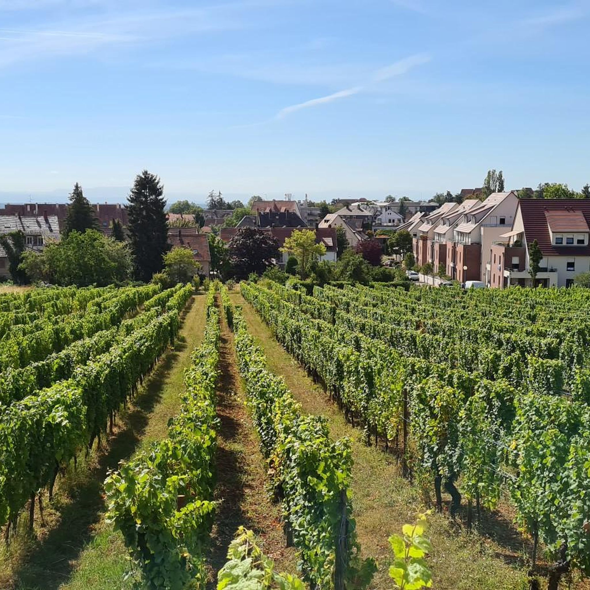
abandoned road with beautiful view.
0
0

Opening hours daily: 9:00 - 12:00 and 14:00 - 18:00.
0
0

The town boasts a Renaissance six-bucket fountain from 1579, typical of Alsace. On the market square stands the former grain hall (Halle aux blés) from 1554, which has been converted into a restaurant.[19] After the Gothic Chapel Church, founded in the 13th century and originally called the 'Chapel of Our Lady,' was demolished in 1873,[20] the 60-meter-high tower next to the town hall (Hôtel de ville)[21] remained as the Chapel Tower (Tour de la Chapelle) from the 16th century. Above the fifth floor, it received a tracery parapet and a slate-covered helmet, so that it served the town as its belfry from then on. After the old parish church was demolished in 1867,[22] the neo-Gothic Church of Saints Peter and Paul (Saints-Pierre-et-Paul) was built between 1867 and 1872. It is one of the largest neo-Gothic churches in all of Alsace. The elaborately designed and richly decorated interior features, among other things, medieval altars from the previous church and an important organ by Joseph Merklin. East of the choir is the Chapel of the Virgin with a Mount of Olives group from 1517. The town once had 20 towers in the inner city wall, which is still largely preserved. Of the Capuchin monastery in Oberehndorf, only the Capuchin church survived. Above the town stands the monument to the Malgré-nous – the Alsatians from the canton of Obernai who were forcibly conscripted into the German Wehrmacht during World War II. Château d'Oberkirch, dating from the 16th and 17th centuries, renovated from 1843 to 1846 In the town park stands a sequoia tree, approximately 40 meters tall, planted in the 1850s.
0
0

The Saint-Nabor promontory, located in Alsace at the foot of Mont Sainte-Odile, offers a natural site rich in history and geology. It is known for its old porphyry quarries, a volcanic rock formed in the Carboniferous period, exploited long before their closure in 2002. The promontory rises to an altitude of approximately 340 meters in a semi-continental microclimate favoring vineyards and forests. It constitutes a belvedere offering a remarkable panorama of the Alsace plain, as far as Strasbourg and the Black Forest on a clear day. The site is accessible by well-marked hiking trails, notably the Saint-Nabor loop which passes by the Sainte-Lucie Fountain and the Pagan Wall. This peaceful place, away from the tourist hustle and bustle, is also a starting point for discovering the region, its heritage and its peaceful landscapes. It is steeped in history linked to the nearby Niedermunster monastery, now in ruins, and the presence of medieval remains.
0
0

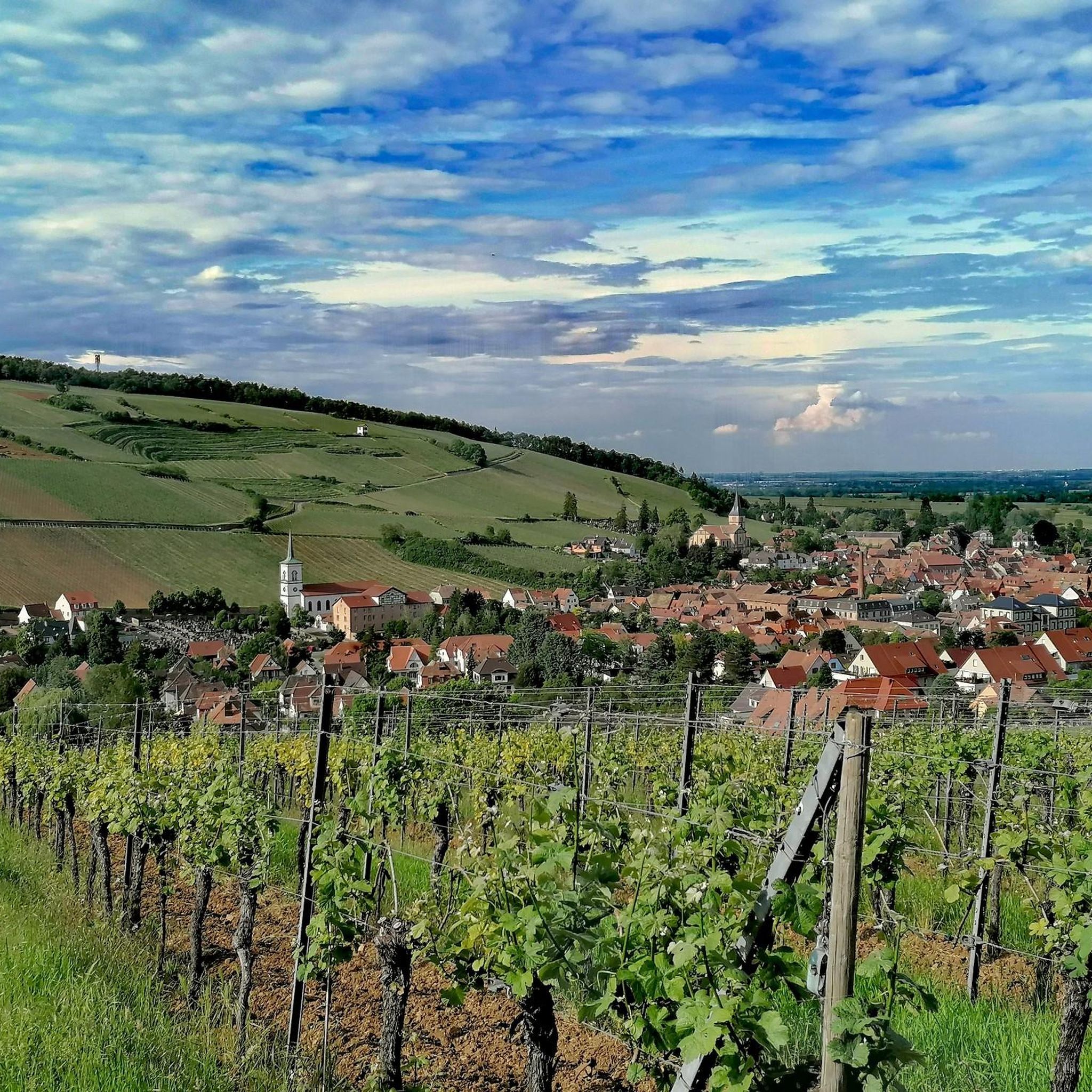
What a beautiful bell tower there is on both sides
0
0
Great church building, unfortunately the church was closed
0
0

Great place to sit and watch the set over the lake
0
0

Frequently Asked Questions
How many gravel bike trails are available around Bolsenheim?
There are over 45 gravel bike trails around Bolsenheim, offering a wide range of options for different skill levels and preferences. The komoot community has explored these routes over 170 times, providing an average rating of 4.4 stars.
What kind of terrain can I expect on gravel bike trails near Bolsenheim?
The terrain around Bolsenheim is quite varied. You'll find sections with good, fine gravel along the Canal du Rhône au Rhin Tree-Lined Path, offering relaxed, car-free cycling. The Rhine Valley and floodplain forests provide flat, easily navigable paths. For more challenging rides, the foothills of the Vosges Mountains and the Alsace Wine Route offer varied elevation and scenic vineyard trails.
Are there any family-friendly gravel routes in the Bolsenheim area?
Yes, the paths along the Canal du Rhône au Rhin are particularly suitable for families due to their flat, car-free nature. These sections, often featuring fine gravel, provide a safe and enjoyable environment for riders of all ages to explore the scenic waterways.
Are there any circular gravel routes around Bolsenheim?
Many of the gravel routes in the Bolsenheim area are designed as loops, allowing you to start and finish at the same point. For example, the Obernai – Church of Saint Peter and Saint Paul loop from Obernai is a popular circular trail exploring the scenic surroundings of Obernai.
What are some notable landmarks or attractions I can see along the gravel bike trails?
As you cycle, you can encounter various points of interest. The Canal du Rhône au Rhin Tree-Lined Path and its locks are prominent features. You can also pass through charming villages like Obernai, known for its belfry square, or explore natural areas like the Wilderness in Réserve Naturelle de la Forêt d'Erstein.
What is the best time of year for gravel biking in Bolsenheim?
Spring, summer, and early autumn generally offer the best conditions for gravel biking in Bolsenheim, with pleasant temperatures and lush landscapes. While winter riding is possible, be prepared for colder weather and potentially muddy or icy sections, especially in shaded forest areas.
Are there options for advanced gravel bikers seeking a challenge?
Absolutely. While the plains offer easier rides, the nearby foothills of the Vosges Mountains provide more challenging routes with significant elevation gains. For instance, the Around Obernai Alsace – Porte du Lion loop from Goxwiller is a difficult route with over 1300 meters of elevation gain, offering a substantial workout.
Where can I find parking for gravel biking near Bolsenheim?
Many of the routes start from towns and villages that offer public parking facilities. For routes originating from places like Obernai or Goxwiller, you can typically find parking in or near the town centers, often close to the trailheads. Specific parking information is usually available on individual route pages.
What do other gravel bikers enjoy most about gravel biking in Bolsenheim?
The komoot community highly rates the gravel biking experience in Bolsenheim, with an average score of 4.4 stars. Riders often praise the diverse landscapes, from the serene canal paths and riverine forests to the picturesque vineyard trails. The variety of terrain and the charming Alsatian villages along the routes are frequently highlighted as favorites.
Can I combine gravel biking with cultural or culinary experiences in the region?
Yes, the Alsace region is renowned for its cultural and culinary offerings. Many gravel routes, especially those along the Alsace Wine Route, pass through traditional villages where you can stop for wine tastings, explore historical sites, or enjoy local Alsatian cuisine. This allows for a rich blend of outdoor activity and cultural immersion.
Are there any long-distance gravel routes suitable for multi-day trips?
While specific multi-day gravel routes are not detailed in the immediate Bolsenheim area, the broader Alsace region, including sections of the EuroVelo 5 and the Canal du Rhône au Rhin, offers extensive networks suitable for longer tours. These paths often connect charming towns and villages, providing opportunities for overnight stays and extended exploration.
What are some of the longer gravel routes available?
For those looking for longer rides, the Rheinauen Wilderness Trail – Shaded Cycle Path loop from Fegersheim - Lipsheim is a challenging 80.9 km (50.3 miles) route that winds through the Rhine floodplain forests. Another substantial option is the Mont Sainte-Odile Abbey – Mount Saint Odile loop from Goxwiller, covering 70.5 km (43.8 miles) with significant elevation.
Most popular routes around Bolsenheim
Most popular attractions around Bolsenheim

Get inspired with the komoot mobile app


Explore more
Browse the best Gravel rides in other regions.
