The best gravel rides around Erstein
4.7
(20)
97
riders
26
rides
Gravel biking around Erstein offers diverse terrain within the Alsatian plain, characterized by its network of rivers, meadows, and forests. The region features the Canal du Rhône au Rhin, providing paths with both asphalt and fine gravel surfaces. Natural features like the Erstein Forest National Nature Reserve and the River Ill contribute to a varied landscape for cycling. This geographical position allows for routes that traverse alluvial forests and wet meadows, with proximity to the Rhine River.
Best gravel bike…
Last updated: May 22, 2026
4.6
(5)
18
riders
Moderate gravel ride. Good fitness required. Mostly paved surfaces. Suitable for all skill levels.
16
riders
Moderate gravel ride. Good fitness required. Mostly paved surfaces. Suitable for all skill levels.

Sign up for free
3.0
(2)
5
riders
Hard gravel ride. Good fitness required. You may need to push your bike for some segments of this route.
5.0
(2)
20
riders
44.0km
02:59
690m
690m
Hard gravel ride. Very good fitness required. Mostly paved surfaces. Suitable for all skill levels.
5.0
(2)
4
riders
35.3km
02:15
40m
40m
Moderate gravel ride. Good fitness required. Mostly paved surfaces. Suitable for all skill levels.
Get access to more routes and recommendations from other explorers.
Sign up for free
Already have an account?
Our route recommendations are based on thousands of hikes, rides, and runs completed by other people on komoot.
Start today with a free account
Your next adventure awaits.
Login or Signup
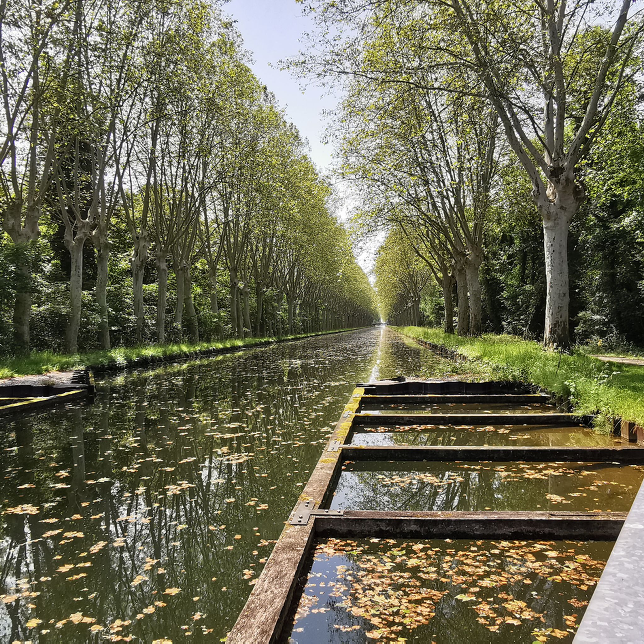
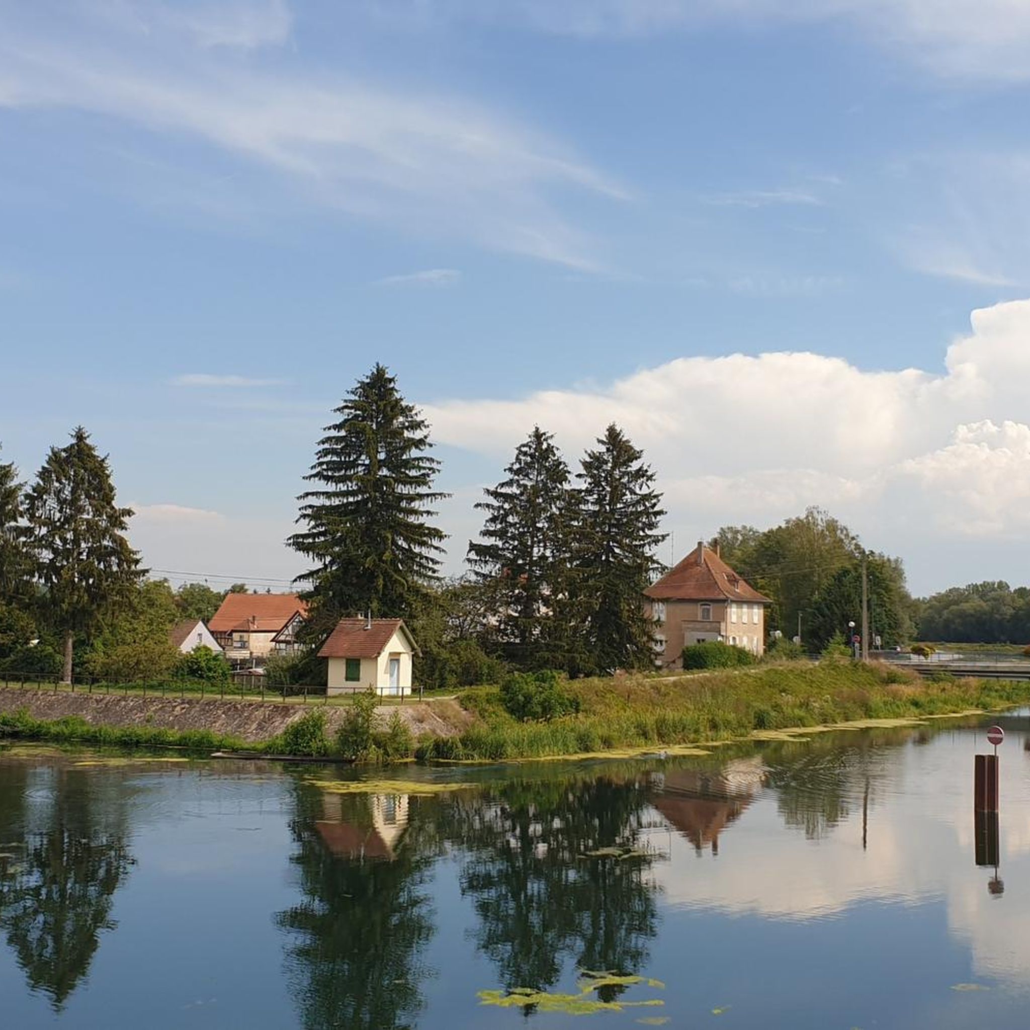
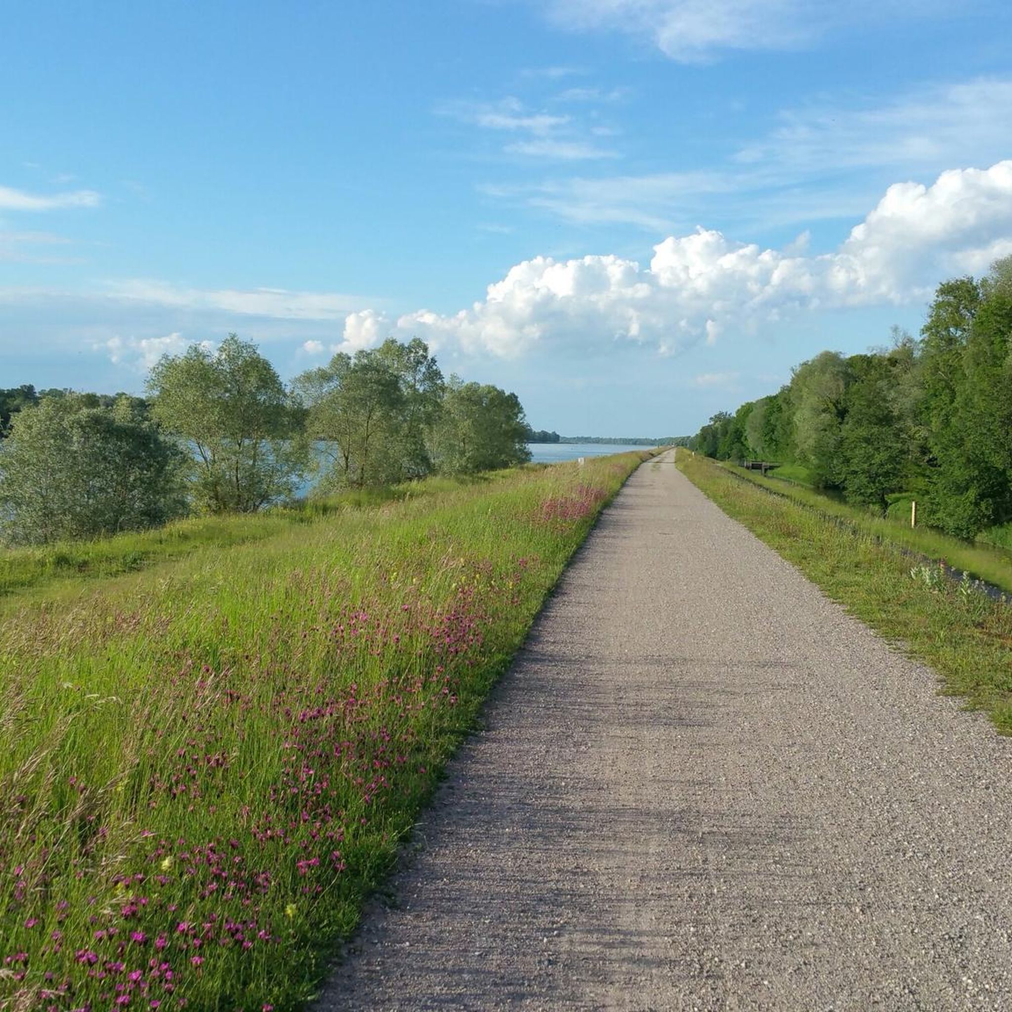
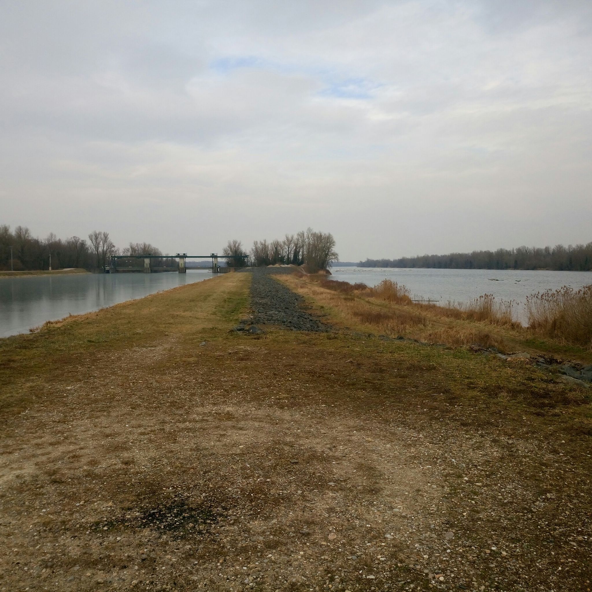
Tips from the Community

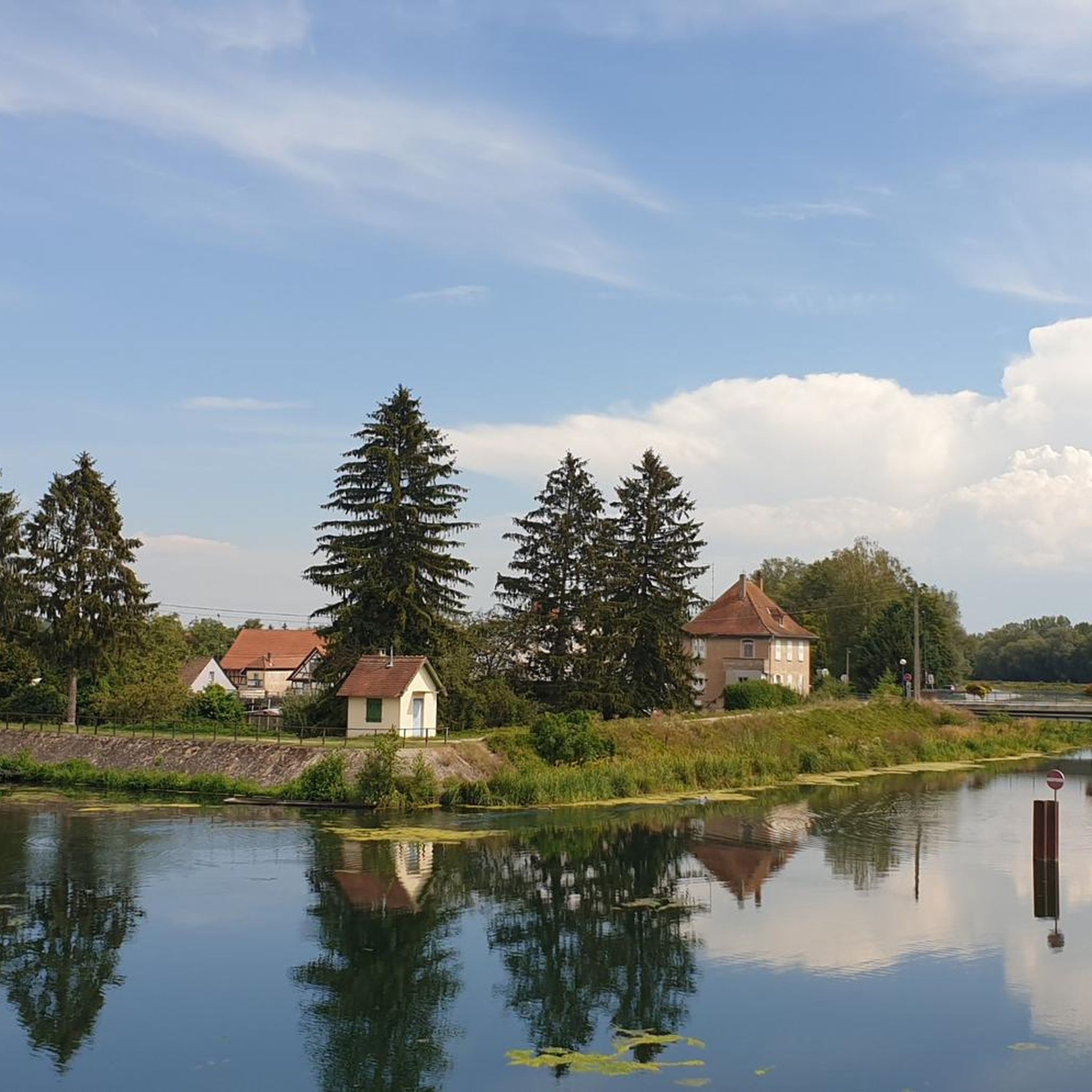
These boats are still sailing there, the locks are working 🤪
0
0

The Saint-Nabor promontory, located in Alsace at the foot of Mont Sainte-Odile, offers a natural site rich in history and geology. It is known for its old porphyry quarries, a volcanic rock formed in the Carboniferous period, exploited long before their closure in 2002. The promontory rises to an altitude of approximately 340 meters in a semi-continental microclimate favoring vineyards and forests. It constitutes a belvedere offering a remarkable panorama of the Alsace plain, as far as Strasbourg and the Black Forest on a clear day. The site is accessible by well-marked hiking trails, notably the Saint-Nabor loop which passes by the Sainte-Lucie Fountain and the Pagan Wall. This peaceful place, away from the tourist hustle and bustle, is also a starting point for discovering the region, its heritage and its peaceful landscapes. It is steeped in history linked to the nearby Niedermunster monastery, now in ruins, and the presence of medieval remains.
0
0

Great place to sit and watch the set over the lake
0
0


The wetlands near Wantzenau are very worth seeing.
0
0
Beautiful view of the riverbank and the Ill in Wantzenau.
0
0
Frequently Asked Questions
How many gravel bike trails are available around Erstein?
There are over 45 gravel bike trails around Erstein, offering a wide range of options for different skill levels. You'll find 11 easy routes, 17 moderate routes, and 17 difficult routes to explore.
What kind of terrain can I expect on gravel bike trails in Erstein?
The terrain around Erstein is diverse, featuring the flat Alsatian plain. You'll encounter paths along the Canal du Rhône au Rhin with both asphalt and fine gravel surfaces, as well as routes through alluvial forests and wet meadows. The proximity to the River Ill and the Rhine also means riverside cycling is common.
Are there any family-friendly gravel bike routes in Erstein?
Yes, Erstein offers 11 easy gravel routes that are generally suitable for families. These routes often follow the flat canal paths, providing a relaxed cycling experience through picturesque scenery. Look for routes with lower elevation gain for a more comfortable family ride.
What natural features or landmarks can I see along the gravel bike trails?
Many trails pass through the rich biodiversity of the Erstein Forest National Nature Reserve, with its ancient river branches and diverse flora. You'll also cycle alongside the River Ill and the Rhine. Notable points of interest include the Canal du Rhône au Rhin Tree-Lined Path and the Canal du Rhône au Rhin Lock and Lockkeeper's House. Some routes even offer the chance to use the Free ferry 🇩🇪Kappel am Rhein–🇫🇷Rhinau.
Are there any long-distance gravel routes for experienced riders?
Absolutely. For experienced riders seeking longer distances, consider routes like the Rheinauen Wilderness Trail – Shaded Cycle Path loop from Fegersheim - Lipsheim, which is over 80 km long and rated difficult. Another challenging option is the Taubergießen Floodplain – Taubergießen River Landscape loop from Schwanau, a moderate 52.5 km route through a unique river landscape.
What do other gravel bikers say about the trails in Erstein?
The gravel biking routes in Erstein are highly regarded by the komoot community, holding an average rating of 4.9 stars from over 20 reviews. Riders often praise the varied terrain, the scenic canal paths, and the peaceful atmosphere of the Alsatian countryside.
Are there circular gravel bike routes available?
Yes, many of the gravel bike routes around Erstein are designed as loops, allowing you to start and finish at the same point. Examples include the André Bord Bridge – Footbridge of the Two Banks loop from Meißenheim and the Rhône–Rhine Canal – Gerstheim Rhine Weir loop from Plobsheim.
Where can I find places to rest or have a picnic along the trails?
You'll find several shelters and huts along the trails, perfect for a break or picnic. Look out for spots like the S' Maddehisl Shelter, Auwald Hut by the Lake, or the River island with barbecue area and shelter.
What is the best time of year for gravel biking in Erstein?
The Alsatian plain generally offers good conditions for gravel biking from spring through autumn. Spring brings blooming nature, while autumn provides pleasant temperatures and colorful foliage. Summer can be warm, but many routes offer shaded sections, especially through the alluvial forests.
Are there any specific routes that highlight the Canal du Rhône au Rhin?
The Rhône–Rhine Canal – Gerstheim Rhine Weir loop from Plobsheim is an excellent choice, as it directly follows the Canal du Rhône au Rhin, offering varied surfaces ideal for gravel bikes. Another option is the Rhine Canal Cycle Path – Canal du Rhône au Rhin loop from Obenheim.
Can I find information about local services or accommodation in Erstein?
For information on local services, accommodation, and other tourist details in Erstein, you can visit the local tourism office. You'll find more details on their website: Office de Tourisme du Grand Ried.
Most popular attractions around Erstein

Get inspired with the komoot mobile app


Explore more
Browse the best Gravel rides in other regions.
