The best gravel rides around Zellweiler
4.1
(44)
336
riders
70
rides
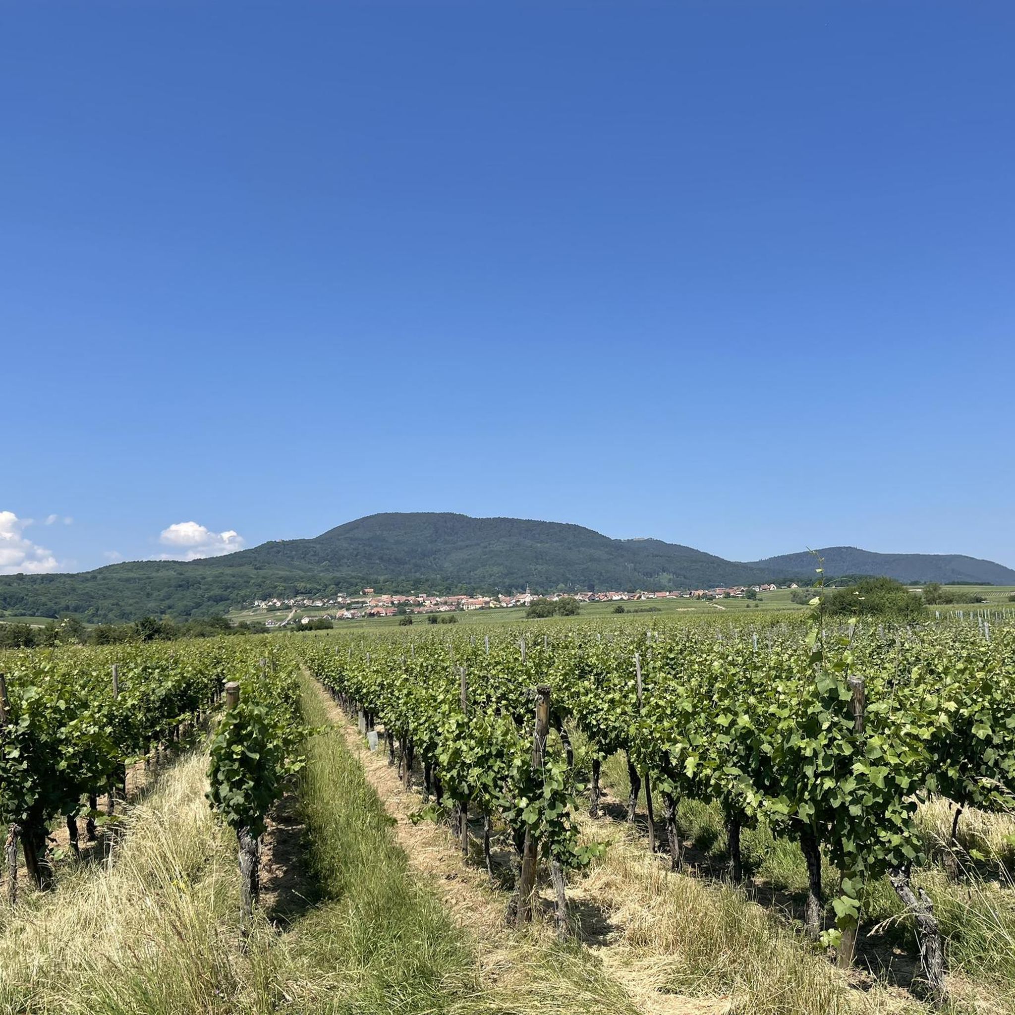
Gravel biking around Zellweiler offers a diverse topography, featuring a mix of challenging climbs and scenic routes. The region is characterized by rolling hills, dense forests, and picturesque valleys, providing varied terrain for gravel cyclists. Routes often combine paved surfaces with unpaved tracks, including winding forest paths and rugged sections. This landscape provides opportunities for both moderate rides and more demanding excursions with significant elevation changes.
Best gravel bike trails around Zellweiler
- The most popular gravel bike trail is Mount…
Last updated: October 6, 2026
4.0
(2)
11
riders
38.3km
02:32
300m
300m
Moderate gravel ride. Good fitness required. Mostly paved surfaces. Suitable for all skill levels.
3.0
(1)
14
riders
72.3km
05:57
1,320m
1,320m
Hard gravel ride. Very good fitness required. You may need to push your bike for some segments of this route.

5.0
(1)
14
riders
Hard gravel ride. Very good fitness required. Mostly paved surfaces. Suitable for all skill levels.
11
riders
53.4km
04:04
770m
770m
Hard gravel ride. Very good fitness required. Mostly paved surfaces. Suitable for all skill levels.
5
riders
77.5km
06:03
1,400m
1,400m
Hard gravel ride. Very good fitness required. Mostly paved surfaces. Suitable for all skill levels.
Get access to more routes and recommendations from other explorers.
Already have an account?
Our route recommendations are based on thousands of hikes, rides, and runs completed by other people on komoot.
Start today with a free account
Your next adventure awaits.
Tips from the Community

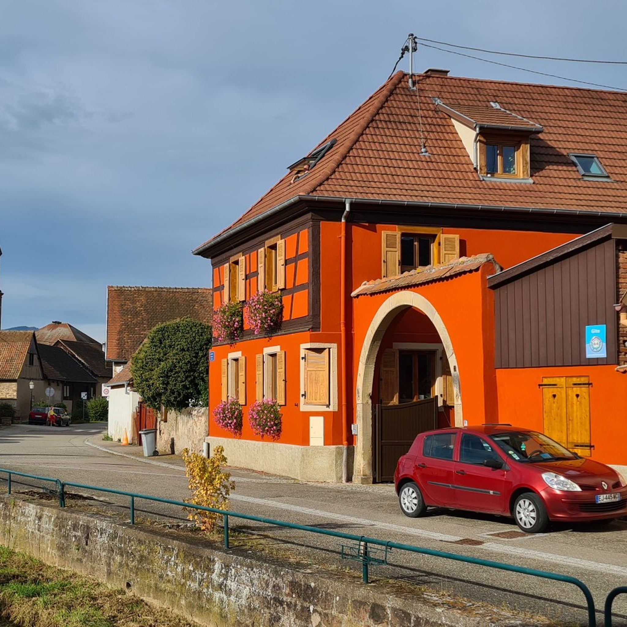
abandoned road with beautiful view.
0
0

Beautiful little village on the way to Santiago de Compostela coming from Germany.
0
0

During the week and outside of the holidays, the crowds are bearable
5
0

One of the most beautiful rooms in the castle. Weapons and armor can be admired here.
10
0
Actually, everything that needs to be said about the castle has already been said. I would like to mention the entrance fees as a positive point. Adults €12, with a guided tour €14 All parking is free, whether in the forest parking lot or on the access road. When I think of Hohenzollern Castle in Hechingen, though...🙆
6
0

The Saint-Nabor promontory, located in Alsace at the foot of Mont Sainte-Odile, offers a natural site rich in history and geology. It is known for its old porphyry quarries, a volcanic rock formed in the Carboniferous period, exploited long before their closure in 2002. The promontory rises to an altitude of approximately 340 meters in a semi-continental microclimate favoring vineyards and forests. It constitutes a belvedere offering a remarkable panorama of the Alsace plain, as far as Strasbourg and the Black Forest on a clear day. The site is accessible by well-marked hiking trails, notably the Saint-Nabor loop which passes by the Sainte-Lucie Fountain and the Pagan Wall. This peaceful place, away from the tourist hustle and bustle, is also a starting point for discovering the region, its heritage and its peaceful landscapes. It is steeped in history linked to the nearby Niedermunster monastery, now in ruins, and the presence of medieval remains.
0
0

What a beautiful bell tower there is on both sides
0
0

Frequently Asked Questions
How many gravel bike trails are available around Zellweiler?
There are over 75 gravel bike trails around Zellweiler. The region offers a diverse range of routes, with 6 easy, 23 moderate, and 48 difficult trails, ensuring options for various skill levels.
Are there gravel bike routes suitable for beginners in Zellweiler?
Yes, Zellweiler offers several routes suitable for beginners. You'll find 6 easy gravel bike trails that typically feature less challenging terrain, often combining paved surfaces with smoother unpaved tracks through picturesque valleys and rolling hills.
What are some challenging gravel bike routes around Zellweiler?
For experienced gravel bikers seeking a challenge, Zellweiler has 48 difficult routes. Notable options include the Obernai – Andlau loop from Gertwiller, a 43.6-mile trail with over 1,800 feet of elevation gain, and the demanding Around Obernai Alsace – Porte du Lion loop from Goxwiller, which covers 45.0 miles with over 4,300 feet of ascent. Another challenging option is the Mont Sainte-Odile Abbey – Mount Saint Odile loop from Goxwiller, featuring significant climbs.
Can I find circular gravel bike routes in Zellweiler?
Yes, many of the gravel bike routes in Zellweiler are designed as loops, allowing you to start and finish at the same point. Examples include the moderate Itterswiller – Andlau loop from Goxwiller and the Sculpture La Porte – Obernai loop from Gertwiller.
What kind of scenic views can I expect on gravel bike trails in Zellweiler?
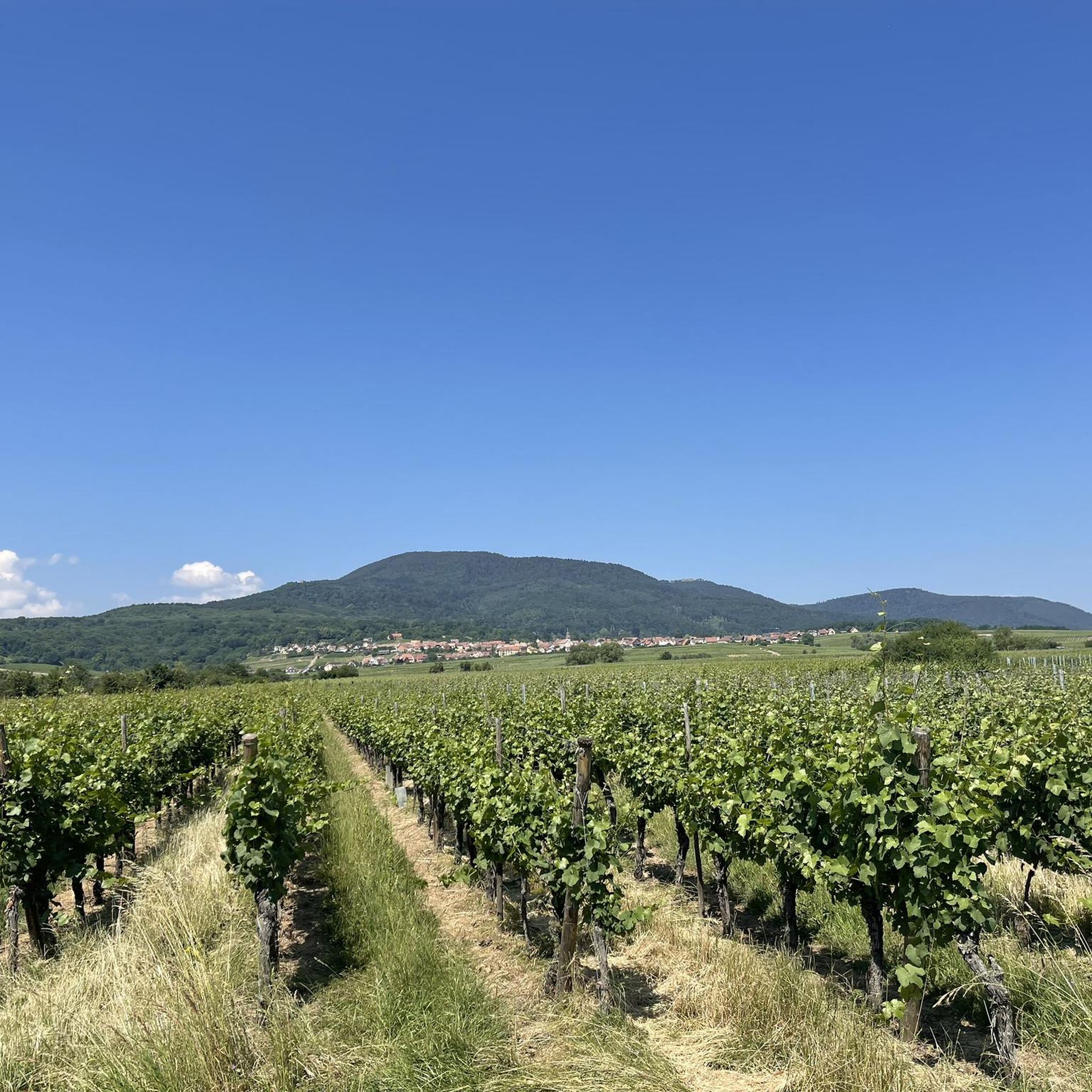
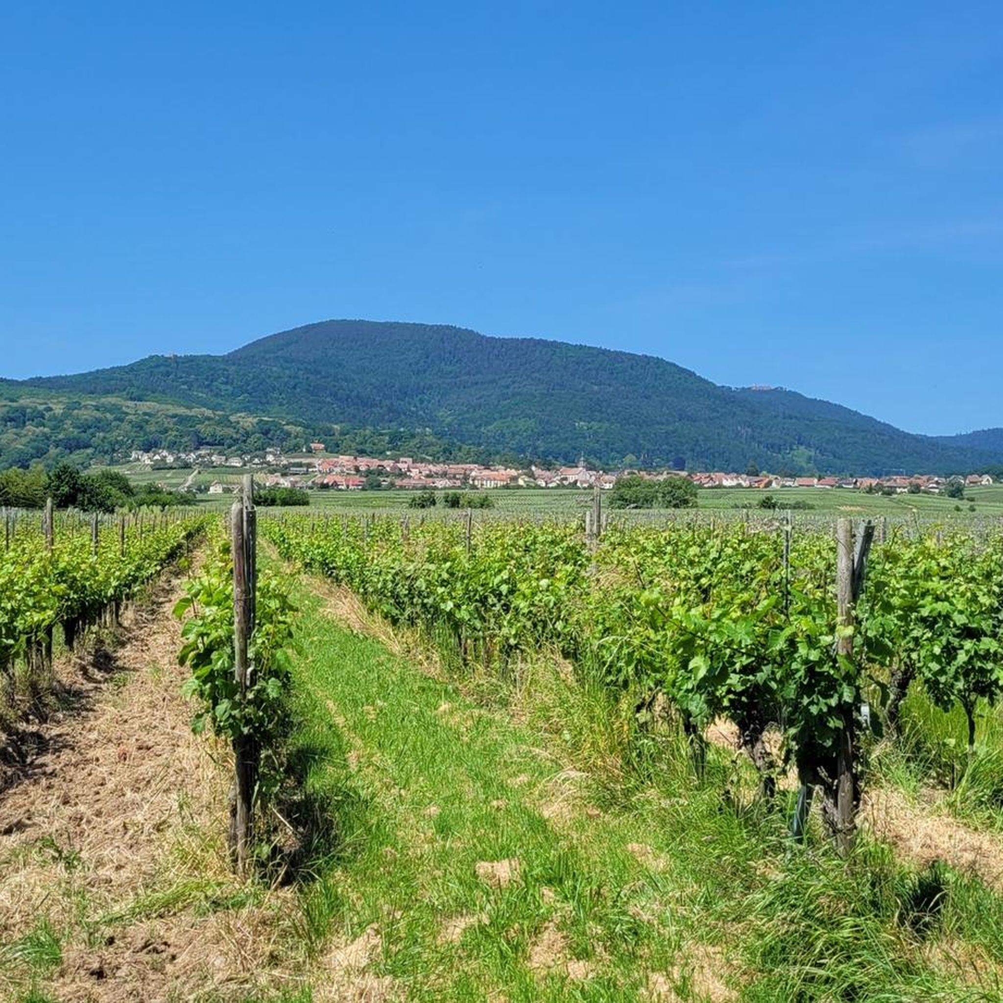
Gravel biking in Zellweiler offers diverse and beautiful scenery. You can expect to ride through dense forests, across rolling hills, and along picturesque valleys. The region, bordering the Black Forest and Alsace, provides panoramic views of the countryside, charming villages, and often glimpses of historic landmarks.
Are there any interesting landmarks or attractions along the gravel bike routes?
Yes, the Zellweiler area is rich in historical and natural attractions. Many routes pass by or near impressive castles such as Andlau Castle, Rathsamhausen Castle, and Landsberg Castle. You might also encounter significant sites like Mount Sainte-Odile and the charming town of Obernai, as well as scenic vineyards around Mittelbergheim.
When is the best season for gravel biking in Zellweiler?
The best season for gravel biking in Zellweiler is generally from spring through autumn. During these months, the weather is typically mild, and the trails are in good condition, allowing you to fully enjoy the region's diverse landscapes, from lush forests to open countryside. Winter cycling is possible but may involve colder temperatures and potentially muddy or icy conditions on some unpaved sections.
What do other gravel bikers enjoy the most about gravel biking in Zellweiler?
The gravel biking experience in Zellweiler is highly rated by the komoot community, with an average score of 4.2 stars from over 30 reviews. Riders often praise the varied terrain, which includes a mix of challenging climbs and scenic routes through dense forests and picturesque valleys. The well-maintained network of paths and the opportunity to explore charming towns and historical sites are also frequently highlighted.
Are there any gravel routes in Zellweiler that are suitable for families?
While many routes in Zellweiler feature significant elevation changes, families can find suitable options among the easier trails. These routes often follow gentler paths through valleys or less rugged forest sections, providing a pleasant experience for riders of varying ages and abilities. Look for routes categorized as 'easy' for the most family-friendly choices.
Is public transport accessible near gravel trails in Zellweiler?
The region around Zellweiler, particularly areas like Alsace and the Black Forest, generally has good public transport connections to larger towns. From these towns, you may find local buses or regional trains that can get you closer to trailheads. It's advisable to check local public transport schedules for specific starting points.
Are there opportunities for cafe stops or refreshments along the gravel bike trails?
Yes, as you cycle through the charming towns and villages in the Zellweiler region, you'll often find opportunities for cafe stops and refreshments. Many routes pass through or near settlements like Obernai, Goxwiller, and Gertwiller, where you can enjoy local hospitality and refuel during your ride.
Most popular routes around Zellweiler
Most popular attractions around Zellweiler

Get inspired with the komoot mobile app


Explore more
Browse the best Gravel rides in other regions.
