The best gravel rides around Lamadeleine-Val-Des-Anges
4.9
(9)
80
riders
11
rides
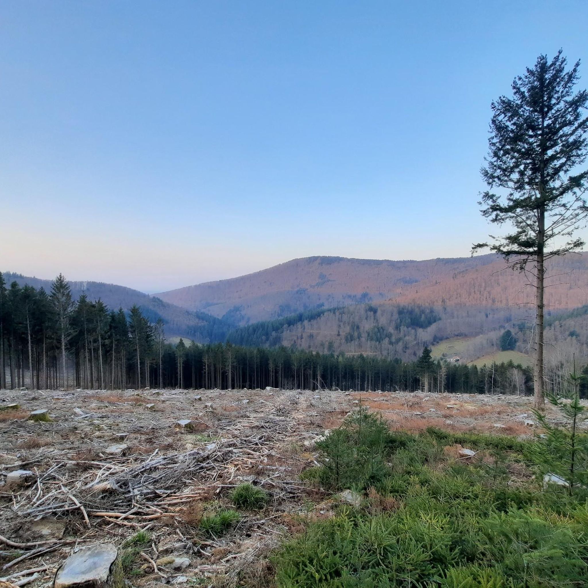
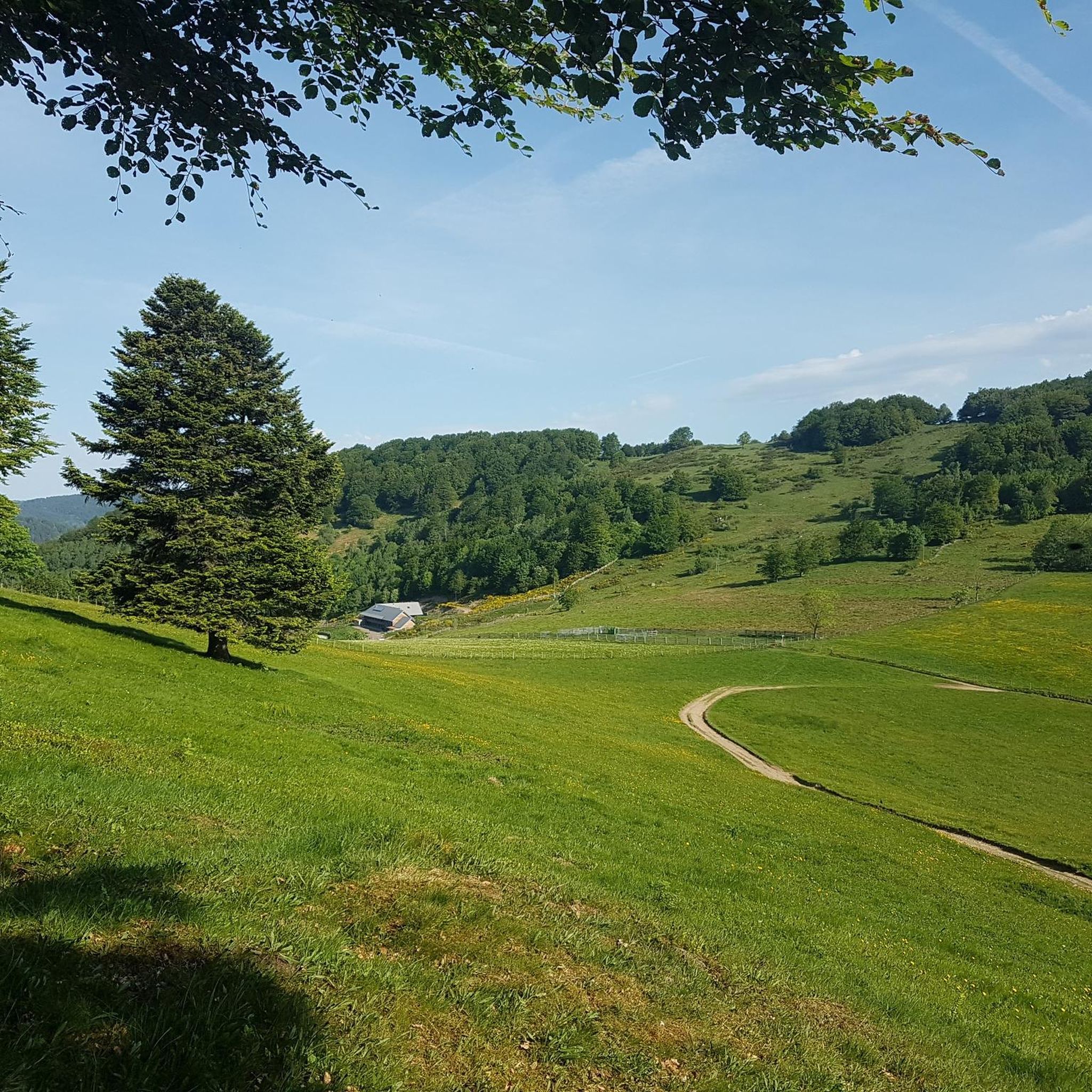
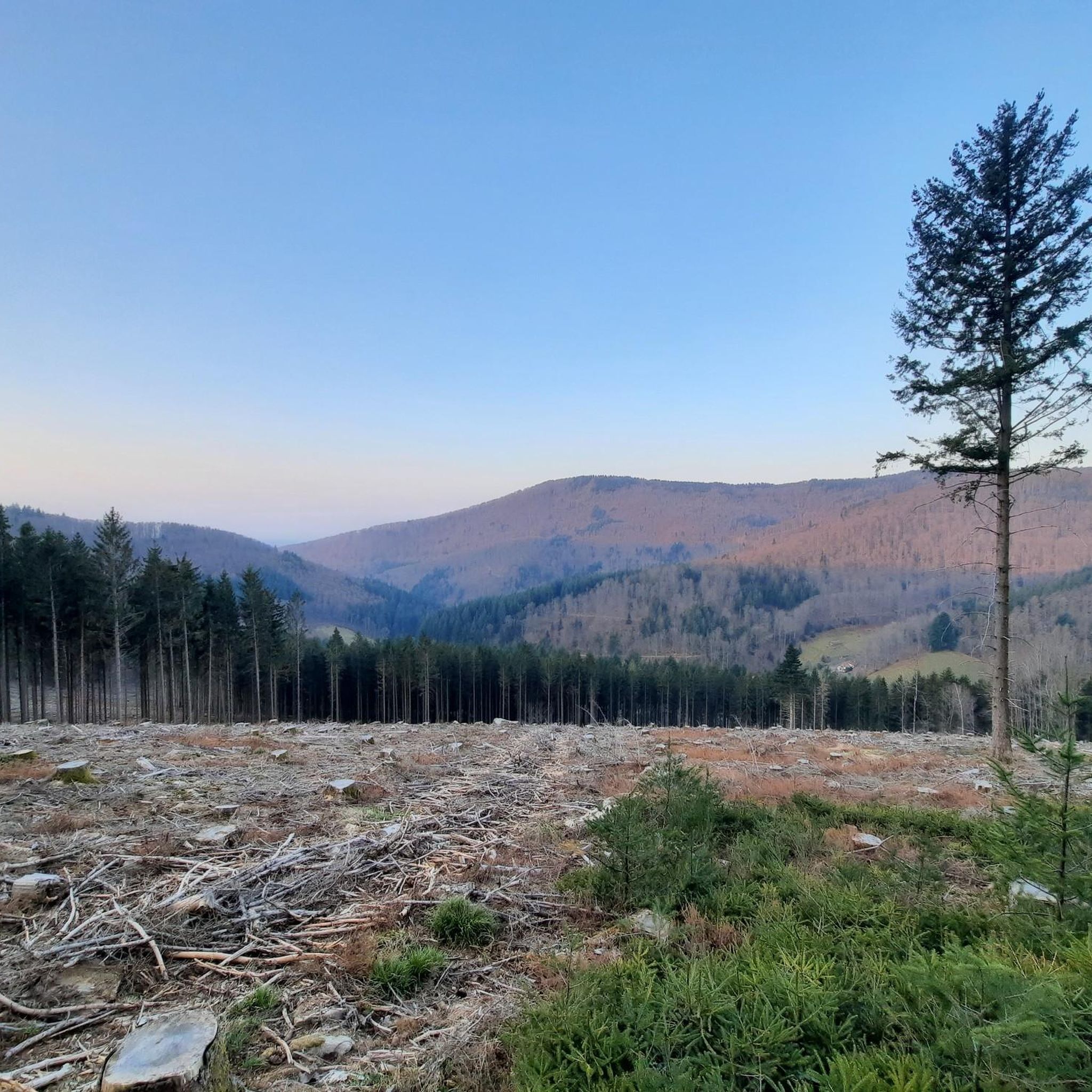
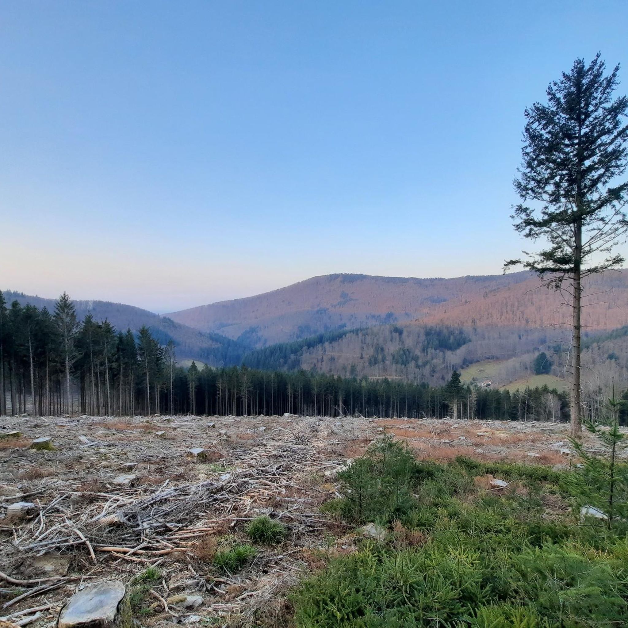
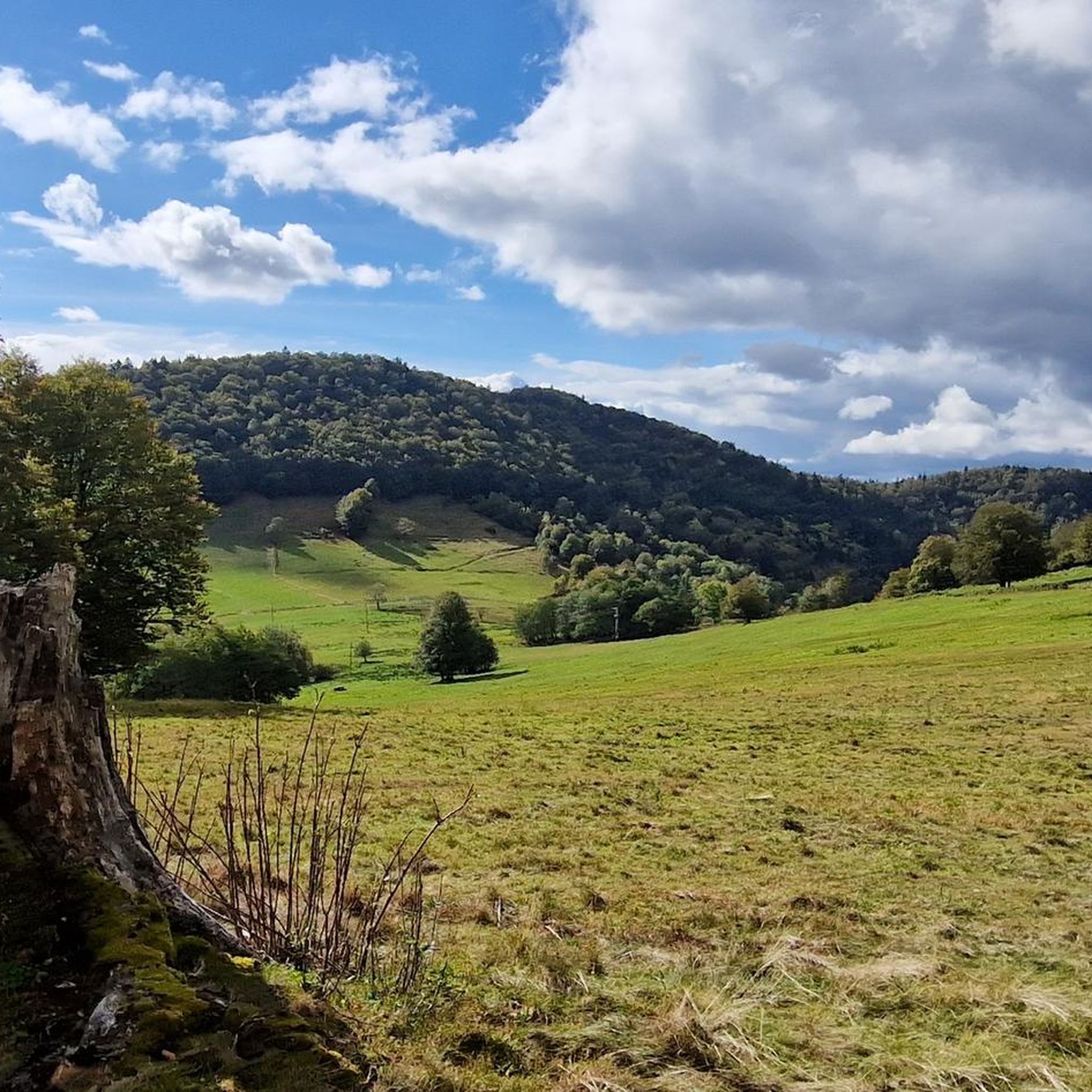
Gravel biking around Lamadeleine-Val-Des-Anges features a landscape characterized by significant elevation changes, dense forests, and mountain passes within the sub-Vosgian region. The area, part of the Ballons des Vosges Regional Natural Park, offers varied terrain from challenging climbs to scenic paths along river valleys and high pastures. Riders can expect a mix of forest roads and gravel tracks, with elevations ranging from 537 to 1,075 meters. This environment provides a robust setting for gravel biking.
Best gravel bike trails around…
Last updated: October 6, 2026
4.3
(3)
27
riders
55.9km
04:06
1,390m
1,390m
Hard gravel ride. Very good fitness required. You may need to push your bike for some segments of this route.
5.0
(1)
23
riders
45.7km
03:11
1,070m
1,070m
Hard gravel ride. Very good fitness required. Mostly paved surfaces. Suitable for all skill levels.

4
riders
44.8km
03:30
1,100m
1,100m
Hard gravel ride. Very good fitness required. You may need to push your bike for some segments of this route.
4
riders
41.5km
02:29
420m
420m
Moderate gravel ride. Good fitness required. Mostly paved surfaces. Suitable for all skill levels.
3
riders
40.8km
02:55
510m
510m
Hard gravel ride. Very good fitness required. You may need to push your bike for some segments of this route.
Get access to more routes and recommendations from other explorers.
Already have an account?
Our route recommendations are based on thousands of hikes, rides, and runs completed by other people on komoot.
Start today with a free account
Your next adventure awaits.
Popular around Lamadeleine-Val-Des-Anges
Tips from the Community

From the dam, you can enjoy a wide view over the reservoir. The striking reddish-brown banks contrast beautifully with the water and the wooded hills of the Vosges in the background.
6
0
The dam is an impressive piece of historical engineering: it is 785 meters long and rises 41 meters from the foundation. Walking on or along the dam offers a wide view of the deep blue water and the surrounding forests. Nice for cycling along the dam!
6
0
The Bassin de Champagney (or Champagney Reservoir) is an impressive artificial reservoir with a surface area of 107 hectares, located in the French department of Haute-Saône (Bourgogne-Franche-Comté region). The reservoir is situated in the southern foothills of the Vosges and was built between 1882 and 1905 to supply water to the never fully completed Canal de la Haute-Saône. Today, the lake has a capacity of 13 million m³ and is a popular destination for nature lovers, hikers, and fishermen.
6
0
Cozy inn on the Étang du Malsaucy, in the heart of a popular nature and recreation area.
6
0
This large lake is a popular stop along the cycling routes around Belfort, with beautiful views over the water and the surrounding nature.
6
0
The Étang du Malsaucy (often also called Lac du Malsaucy) is, with an area of 55 hectares, the largest lake in the French department of Territoire de Belfort. It is nestled in the Parc naturel régional des Ballons des Vosges, spread across the municipalities of Évette-Salbert, Lachapelle-sous-Chaux, and Sermamagny. Originally built at the end of the 15th century for fish farming, it is now one of the most important recreational and natural areas in the region.
6
0
The Col du Hunsrück (748 m) is a quiet and wooded pass above Willer-sur-Thur. The steady climb and beautiful nature make this a pleasant classic in the southern Vosges, with connections to both the Thur and Dollervallei valleys.
6
0
La Planche des Belles Filles is a 5.8 kilometer climb. It is a category 1 climb. It is located in Plancher Les Mines, Franche-Comté, France. The average gradient of this climb is 8.6% with a maximum of 13.6%. La Planche des Belles Filles climbs from 527 meters at the start to 1,033 meters at the summit, for a total elevation gain of 506 meters.
7
0
Frequently Asked Questions
What are the typical difficulty levels for gravel bike trails around Lamadeleine-Val-Des-Anges?
The gravel biking routes in Lamadeleine-Val-Des-Anges primarily cater to experienced riders. Out of 16 available routes, 12 are classified as difficult, featuring substantial climbs and varied terrain. There are also 4 moderate routes for those seeking a less intense experience.
Are there any beginner-friendly gravel bike routes in the Lamadeleine-Val-Des-Anges area?
While most routes are challenging, there are a few moderate options suitable for riders with some experience. For instance, the Lake Malsaucy – Lac du Malsaucy loop from Lachapelle-sous-Chaux is a moderate 25.9 km (16.1 miles) trail with around 277 meters (909 feet) of elevation gain, offering a good introduction to the region's gravel paths.
What is the best season for gravel biking in Lamadeleine-Val-Des-Anges?
The region, being near the southern end of the Vosges mountains, experiences varied weather. Spring and autumn generally offer pleasant temperatures and vibrant scenery, ideal for tackling the forested hills and mountain passes. Summer can be warm, while winter may bring snow to higher elevations, making some routes more challenging or inaccessible.
What kind of terrain can I expect on gravel bike trails around Lamadeleine-Val-Des-Anges?
You can expect a diverse landscape characterized by significant elevation changes, dense forests, and mountain passes. The routes often combine forest roads, dedicated gravel tracks, and some paved sections that connect natural areas, providing a robust environment for gravel biking with expansive views.
Are there any circular gravel bike routes available?
Yes, many of the gravel bike routes in the area are designed as loops. For example, the challenging La Planche des Belles Filles – Ballon de Servance loop from Giromagny offers a substantial 88.9 km (55.25 miles) ride with over 2000 meters (6560 feet) of elevation gain, providing panoramic views from high points.
What are some scenic viewpoints or natural attractions along the gravel bike trails?
The region is rich in natural beauty. Many routes traverse mountain passes and offer expansive views. You might encounter notable peaks like Ballon d'Alsace or La Planche des Belles Filles. The Malsaucy cycling link – Lac du Malsaucy loop from Lachapelle-sous-Chaux also offers scenic paths alongside a lake.
How long do gravel bike routes typically take to complete in this region?
The duration varies significantly based on the route's length and difficulty. For instance, the moderate Lake Malsaucy – Lac du Malsaucy loop can be completed in about 2 hours, while more challenging routes like the Ballon d'Alsace – Col du Ballon d'Alsace loop from Giromagny can take over 4 hours due to its 55.9 km (34.75 miles) distance and significant climbs.
What do other gravel bikers enjoy the most about gravel biking in Lamadeleine-Val-Des-Anges?
The area is highly rated by the komoot community, with an average score of 4.5 stars from 9 reviews. Riders often praise the challenging climbs, the diverse terrain that mixes forest roads and gravel tracks, and the rewarding expansive views from the mountain passes.
Are there any specific mountain passes that gravel bikers frequent in the area?
Yes, the region is known for its mountain passes. The Ballon d'Alsace and Hundsruck Pass are prominent features in many routes, offering both challenging ascents and stunning vistas. The Hundsruck Pass – Hundsruck loop from Masevaux-Niederbruck is a popular route that incorporates this feature.
How many gravel bike trails are available around Lamadeleine-Val-Des-Anges?
There are 16 gravel bike routes available for exploration around Lamadeleine-Val-Des-Anges. These routes offer a mix of moderate and difficult options, primarily catering to those seeking a challenging ride through the Vosges mountains.
Are there any routes that pass by lakes or water bodies?
Yes, some routes offer scenic sections alongside water. The Malsaucy cycling link – Lac du Malsaucy loop from Lachapelle-sous-Chaux is a great example, leading through varied terrain alongside Lac du Malsaucy.
Most popular routes around Lamadeleine-Val-Des-Anges
Most popular attractions around Lamadeleine-Val-Des-Anges

Get inspired with the komoot mobile app


Explore more
Browse the best Gravel rides in other regions.
