The best gravel rides around Dolleren
3.8
(8)
101
riders
5
rides
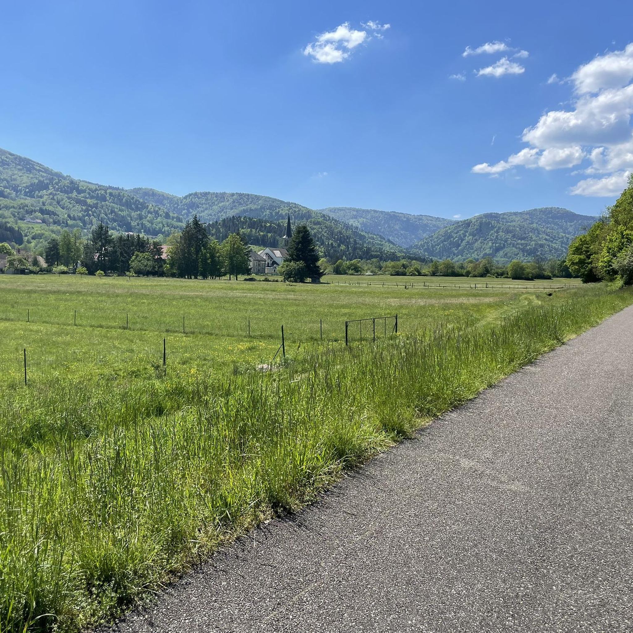
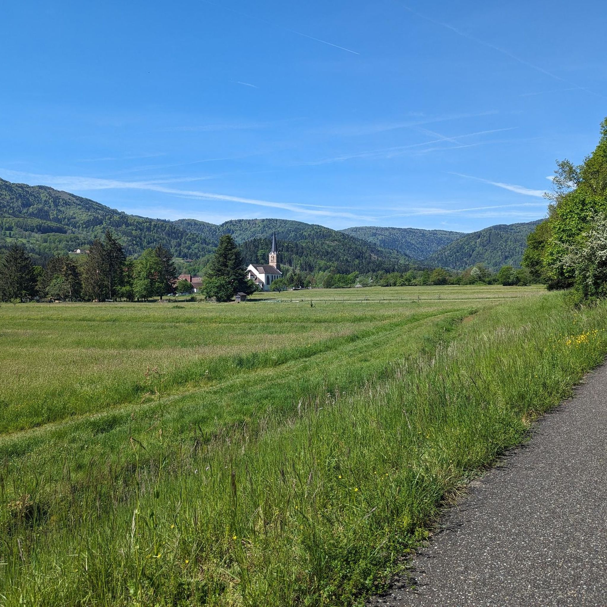
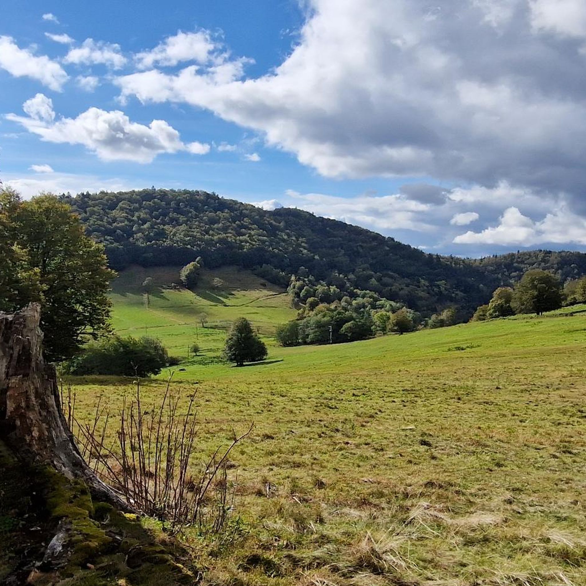
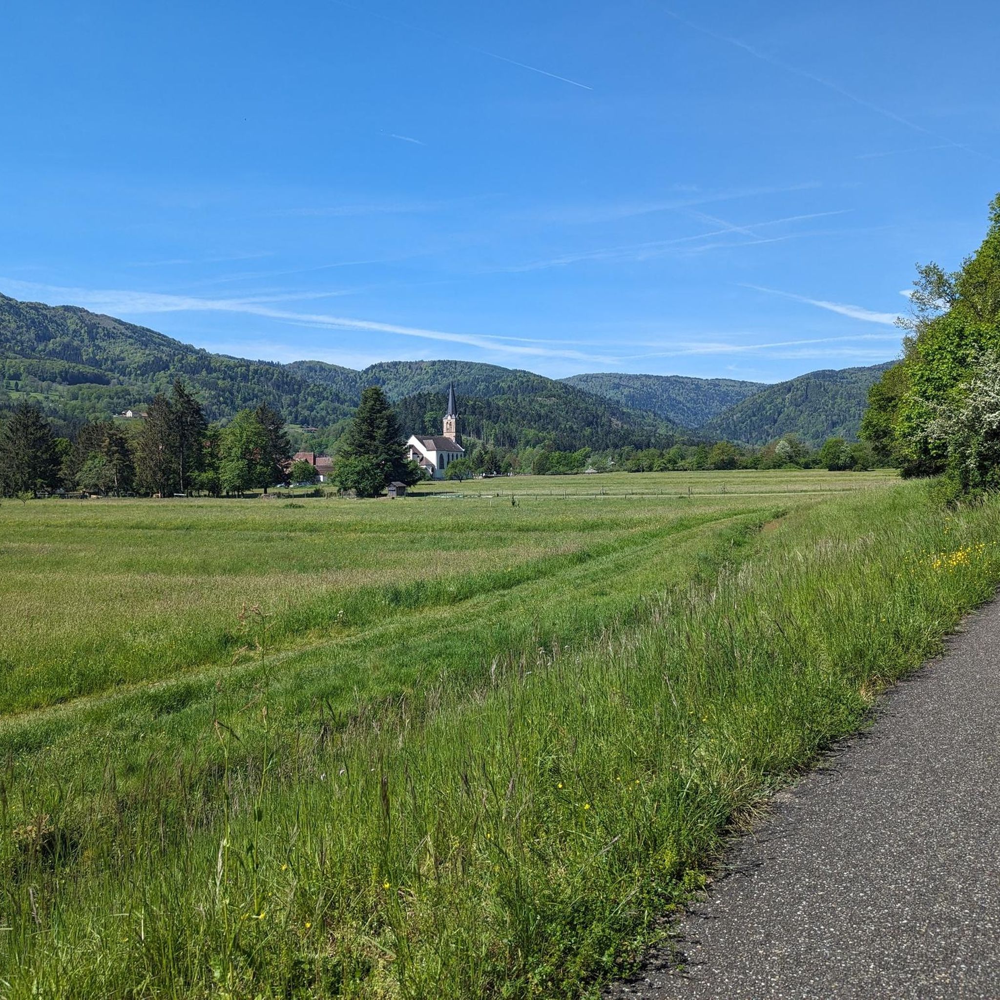
Gravel biking around Dolleren offers routes through the diverse landscapes of France's Haut-Rhin department. The region is characterized by its hilly terrain, dense forests, and the flowing Doller river, situated between the Vosges hills and the Alsace plain. Riders encounter varied elevation, including prominent features like the Ballon d'Alsace, providing both challenging climbs and scenic views. The area's network of trails and paths is well-suited for gravel bikes, mixing paved and unpaved surfaces.
Best gravel bike trails around Dolleren
- The…
Last updated: July 3, 2026
4.0
(2)
23
riders
55.9km
04:06
1,390m
1,390m
Hard gravel ride. Very good fitness required. You may need to push your bike for some segments of this route.
3.0
(1)
25
riders
Hard gravel ride. Very good fitness required. Mostly paved surfaces. Suitable for all skill levels.

Sign up for free
3.5
(2)
24
riders
34.4km
02:26
790m
790m
Hard gravel ride. Very good fitness required. Mostly paved surfaces. Suitable for all skill levels.
5.0
(1)
19
riders
45.7km
03:11
1,070m
1,070m
Hard gravel ride. Very good fitness required. Mostly paved surfaces. Suitable for all skill levels.
6
riders
34.5km
02:27
790m
790m
Hard gravel ride. Very good fitness required. Mostly paved surfaces. Suitable for all skill levels.
Our route recommendations are based on thousands of hikes, rides, and runs completed by other people on komoot.
Start today with a free account
Your next adventure awaits.
Login or Signup

Tips from the Community

Not to forget: WC and bicycle tools. At the Saint-Maurice-sur-Moselle station.
0
0


Right at the beginning of your bike tour, from the source of the Moselle, you can let it go. It's downhill to the green path (a former railway line). Hands on the brakes!
0
0

Superbly developed cycle path on an old railway line.
0
0

It's superb but as always in this kind of place avoid busy times if possible.
0
0

It is a beautiful walk with an incline to the summit, which is worth it just for the view all the way to the Alps - if the weather plays along!
3
1
Great selection of cakes, but you don't always get a seat 🙁.
0
0
Frequently Asked Questions
How many gravel bike trails are available around Dolleren?
There are 10 gravel bike trails around Dolleren, offering a variety of experiences. While 8 of these are considered difficult, there are also 2 moderate routes for those seeking a less strenuous ride.
What kind of terrain can I expect on gravel bike trails in Dolleren?
Gravel biking around Dolleren is characterized by hilly terrain, dense forests, and river valleys. You'll encounter a mix of paved and unpaved surfaces, with significant elevation changes as you traverse the Vosges hills and the Alsace plain. The region's diverse landscape provides both challenging climbs and scenic views.
Are there challenging gravel bike routes in Dolleren?
Yes, Dolleren is known for its challenging gravel bike routes. For instance, the La Planche des Belles Filles – Ballon de Servance loop from Giromagny is a difficult 88.9 km path with over 2000 meters of elevation gain. Another demanding option is the Hundsruck Pass – Hundsruck loop from Masevaux-Niederbruck, covering 44.5 km with over 1000 meters of ascent.
What natural landmarks can I see while gravel biking near Dolleren?
The region offers stunning natural landmarks. You can cycle towards the iconic Ballon d'Alsace, a prominent summit offering panoramic views. Another captivating feature is Lac des Perches (Star Lake), a tranquil glacial lake nestled at approximately 1,000 meters altitude. You might also encounter Lake Alfeld and Neuweiher Lake.
Are there any specific points of interest or attractions along the gravel routes?
Beyond natural beauty, you can explore several points of interest. The Ballon d'Alsace is not only a natural monument but also historically significant for cycling. The area is also home to the Schlumpf Ski Area, which features the Auberge du Schlumpf, known for Alsatian specialties. Some routes might pass by the famous La Planche des Belles Filles summit.
Are there circular gravel bike routes available in Dolleren?
Yes, many of the gravel routes around Dolleren are designed as loops. For example, the Ballon d'Alsace – Col du Ballon d'Alsace loop from Giromagny is a popular circular trail, as is the La Planche des Belles Filles – Ballon de Servance loop from Giromagny.
What do other gravel bikers say about the trails in Dolleren?
The gravel biking routes in Dolleren are highly rated by the komoot community, with an average score of 4.2 stars from over 10 reviews. Riders often praise the varied terrain, the challenging climbs, and the stunning views of the Vosges hills and surrounding landscapes.
What is the best time of year for gravel biking in Dolleren?
The best time for gravel biking in Dolleren is generally from spring to autumn. During these seasons, the weather is more favorable, and the trails are typically in good condition. Summer offers lush greenery, while autumn provides beautiful fall foliage, making for very scenic rides. Always check local weather conditions before heading out.
Is public transport accessible for reaching gravel bike trails in Dolleren?
While Dolleren is nestled in a natural setting, public transport options might be limited directly to trailheads. It's advisable to check local bus schedules or regional train services to nearby towns like Giromagny or Masevaux-Niederbruck, from where you might need to cycle a short distance to access the routes.
Where can I find parking for gravel biking trails in Dolleren?
Parking is generally available in the villages and towns near the trail starting points, such as Giromagny or Masevaux-Niederbruck. For routes accessing higher elevations like the Ballon d'Alsace, there are often designated car parks, though these can fill up during peak times. Always look for official parking areas to ensure you're not obstructing local access or private property.
Are there any gravel routes that pass by cafes or places to eat?
Yes, some routes offer opportunities to stop for refreshments. The Auberge du Schlumpf, known for Alsatian specialties, is located in the Schlumpf Ski Area, which some discovery trails pass by. It's a good idea to check the specific route details on komoot or local maps to identify other villages or establishments along your chosen path.
Are the gravel bike trails in Dolleren suitable for families?
While many routes in Dolleren are rated as difficult due to significant elevation and varied terrain, there might be sections or shorter, less strenuous paths suitable for families with older children or those accustomed to off-road cycling. For younger families, it's recommended to look for specific 'easy' rated trails or consult local tourist information for dedicated family-friendly cycling paths.
Most popular routes around Dolleren
Most popular attractions around Dolleren

Get inspired with the komoot mobile app


Explore more
Browse the best Gravel rides in other regions.
