The best gravel rides around Wegscheid
4.5
(6)
92
riders
19
rides
Gravel biking around Wegscheid features routes through a landscape characterized by mountainous terrain, significant elevation changes, and the presence of dams and lakes. The region includes challenging climbs and descents, often passing through forested areas. This environment provides varied conditions for gravel cyclists. The area's diverse topography offers a range of experiences for different skill levels.
Best gravel bike trails around Wegscheid
- The most popular gravel bike trail is Markstein – Grand Ballon loop from Geishouse, a 39.9 miles (64.4…
Last updated: October 6, 2026
4.5
(2)
23
riders
35.5km
03:03
1,170m
1,170m
Hard gravel ride. Very good fitness required. Mostly paved surfaces. Suitable for all skill levels.
5.0
(1)
18
riders
74.2km
05:09
1,300m
1,300m
Hard gravel ride. Very good fitness required. Mostly paved surfaces. Suitable for all skill levels.

4.0
(1)
6
riders
27.4km
01:55
370m
360m
Moderate gravel ride. Good fitness required. Mostly paved surfaces. Suitable for all skill levels.
4.0
(1)
16
riders
37.3km
02:57
1,020m
1,020m
Hard gravel ride. Very good fitness required. Mostly paved surfaces. Suitable for all skill levels.
5.0
(1)
19
riders
27.1km
02:21
1,040m
1,040m
Hard gravel ride. Very good fitness required. Mostly paved surfaces. Suitable for all skill levels.
Get access to more routes and recommendations from other explorers.
Already have an account?
Our route recommendations are based on thousands of hikes, rides, and runs completed by other people on komoot.
Start today with a free account
Your next adventure awaits.
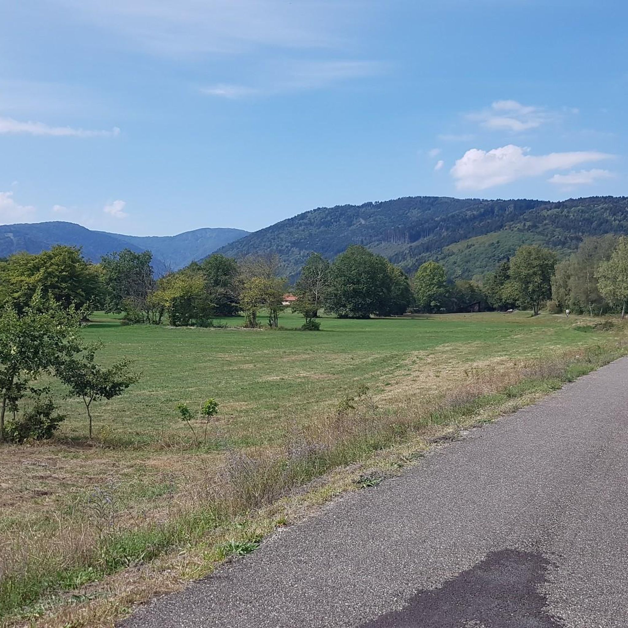
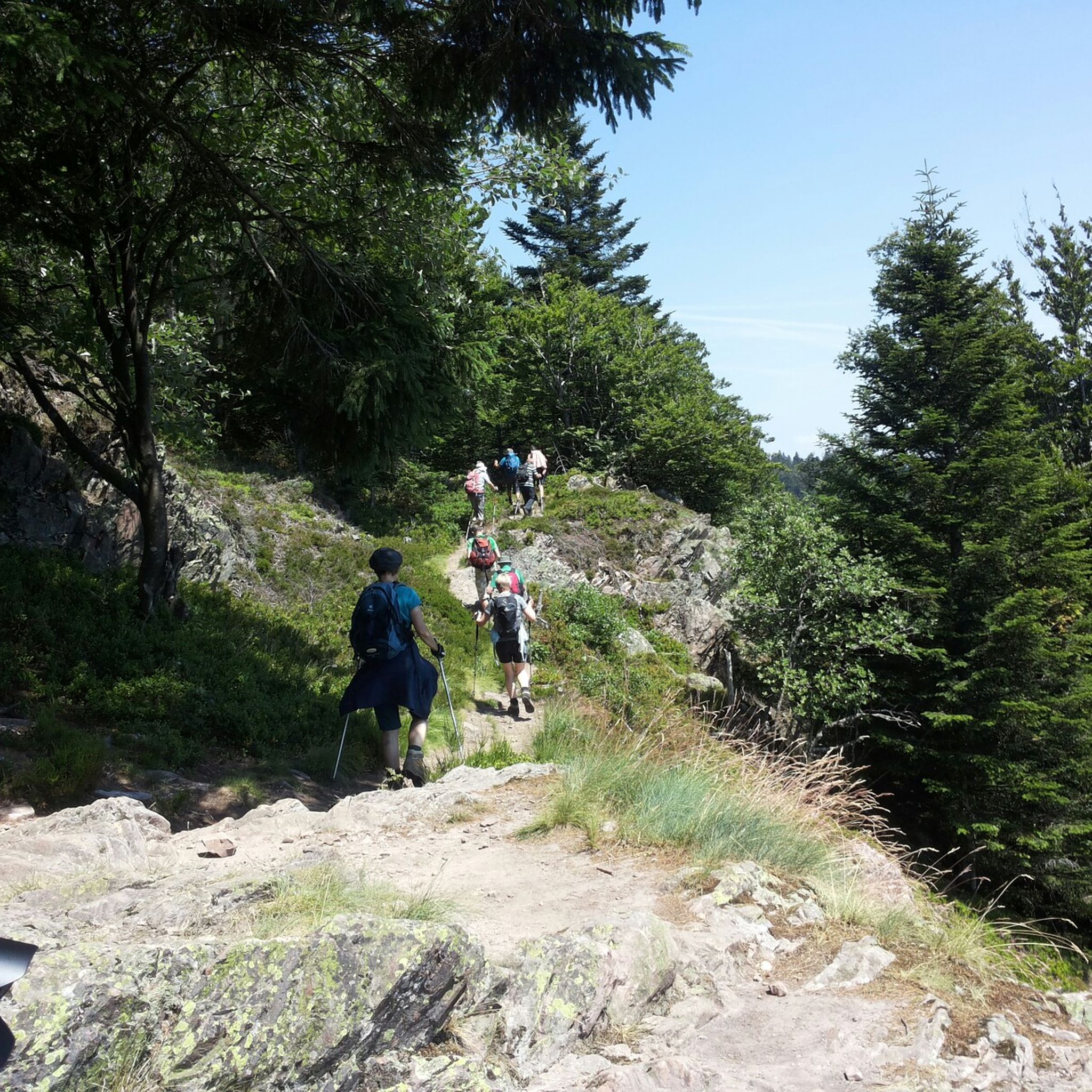
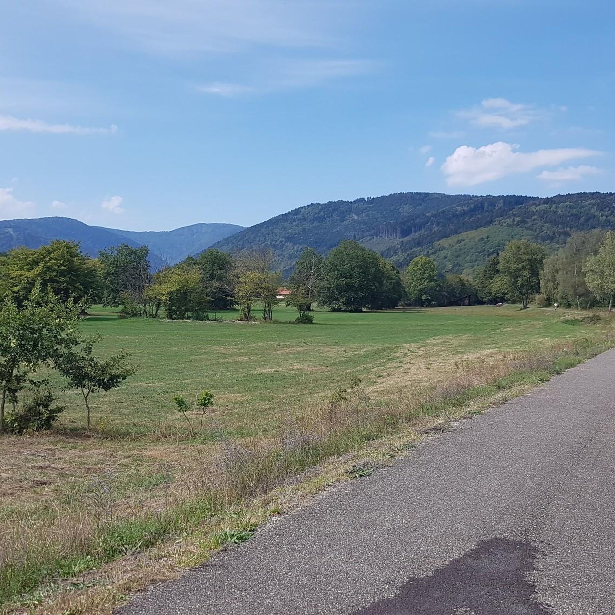
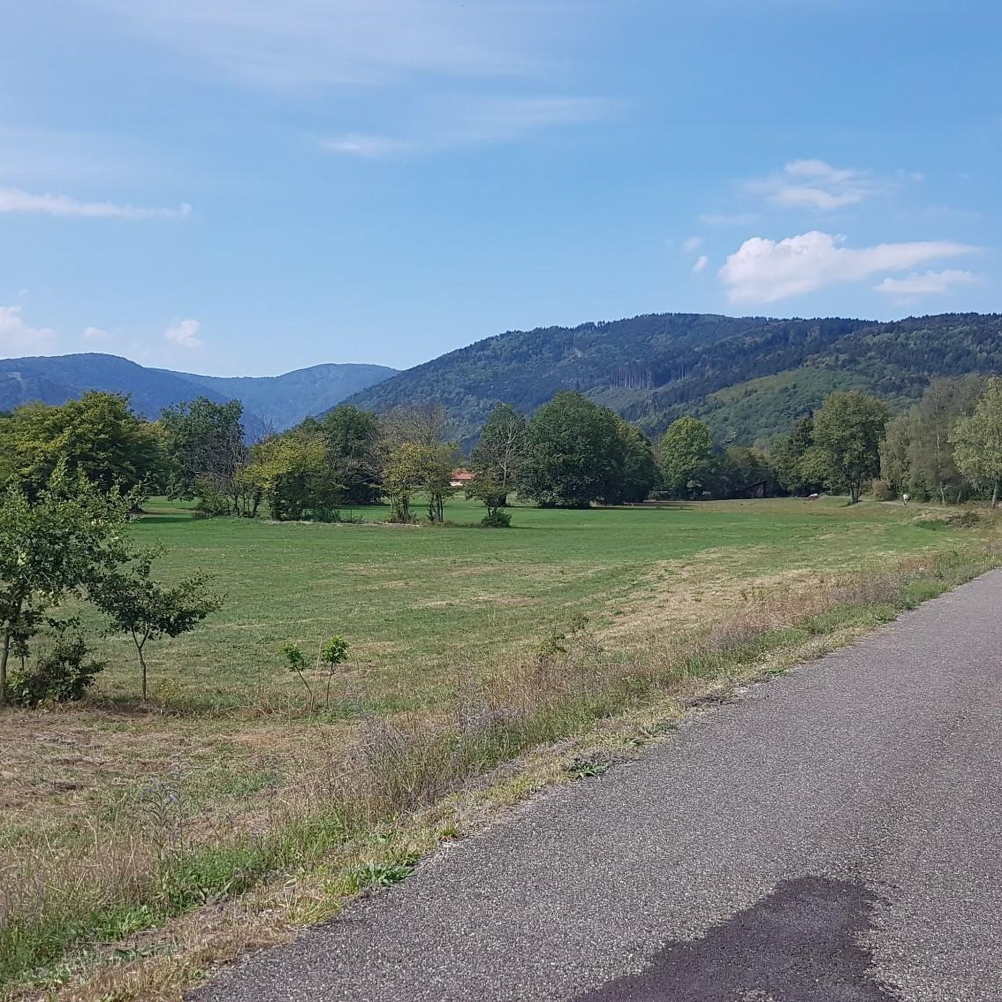

Tips from the Community

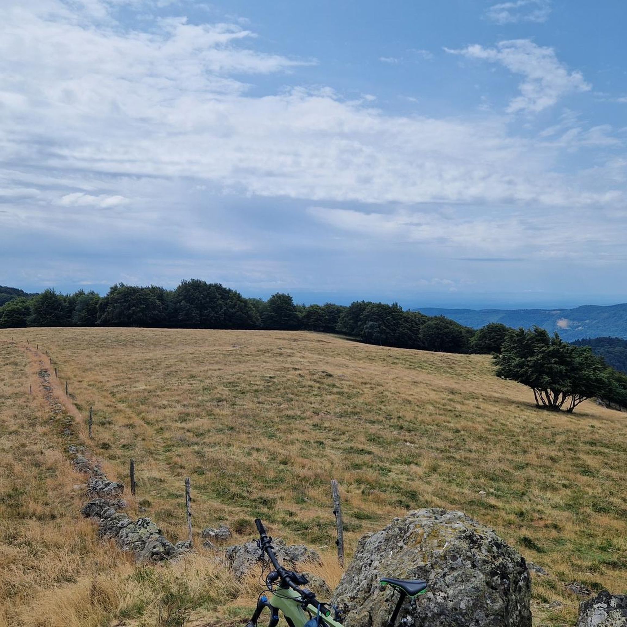
The bare mountain lends itself to beautiful panoramas.
6
0
The Ferme-Auberge du Haag is a traditional mountain inn located near the Col du Haag (1233 m), at the foot of the Grand Ballon. For generations, the farms on the higher Vosges ridges have been welcoming hikers, cyclists, and winter sports enthusiasts. The Haag farm is situated in the middle of mountain pastures, with a beautiful view over the southern Vosges and the Grand Ballon.
6
0
When you drive from the Route des Crêtes towards Le Grand Ballon, you pass the Col du Haag (1233 m) almost unnoticed. Yet, this pass marks a special point on the southern flank of the highest mountain in the Vosges. Here, steep roads from the Thurdal leave the wooded slopes and reach the open heights of the massif. From the col, a typical Vosges landscape unfolds with mountain meadows, scattered farms, and sweeping views. The proximity of the Grand Ballon is felt everywhere: the imposing summit towers above the pass and forms the natural goal of the final climbing kilometers. For cyclists, the Col du Haag is mainly known as the point where difficult climbs from the valleys converge before the road continues to rise to the highest point of the Vosges.
6
0
Le Markstein (1184 m) is meer dan alleen een kruispunt op de Route des Crêtes. Het is echter een echte bergpas en het hoogste punt van de oversteek tussen het Lauch- en Thurdal. Het ligt in het hart van het Vogezenmassief, midden een populair wintersportgebied dat nauw verbonden is met de Grand Ballon
6
0

sensational view up to the Alps.
1
0

This old chapel was erected after the French Revolution on the old path to Thann and fell into disrepair over time. In 1932, the community decided to rebuild it. The current small building has a simple nave, an open porch, and a small bell tower with a bell. In front of the chapel stands a statue of the Virgin Mary, which underscores the character of the place as a pilgrimage and devotional site. The chapel is dedicated to the "Mother of God of Perpetual Help" and belongs to the typical small religious monuments of southern Alsace.
1
0

beautiful path to the summit
0
0

The 14th stage led up here to Le Haag and on to the finish at Le Markstein. You could experience the athletes up close.
0
0
Frequently Asked Questions
How many gravel bike trails are available around Wegscheid?
There are over 20 gravel bike trails around Wegscheid, offering a variety of experiences for cyclists. Most of these routes are rated as difficult, with a few moderate options available.
What is the general difficulty level of gravel biking in Wegscheid?
Gravel biking around Wegscheid is characterized by its challenging nature. The majority of routes, 21 out of 23, are classified as difficult, featuring significant elevation changes and mountainous terrain. There are also 2 moderate routes for those seeking a slightly less strenuous ride.
Are there any beginner-friendly gravel bike trails in Wegscheid?
While most routes in Wegscheid are rated as difficult, there are a couple of moderate options available. These routes still involve some climbing but are less demanding than the more challenging trails. It's important to be comfortable with mountainous terrain and elevation changes.
What kind of terrain can I expect on gravel bike trails in Wegscheid?
The terrain around Wegscheid is predominantly mountainous, with routes often passing through forested areas. You can expect significant elevation changes, including challenging climbs and descents. Many trails also navigate around dams and lakes, adding to the varied landscape.
Are there any long-distance gravel bike routes in the Wegscheid area?
Yes, Wegscheid offers several long-distance gravel routes. For example, the Markstein – Grand Ballon loop from Geishouse is nearly 40 miles (64 km) long, and the Kruth Dam – Lake Kruth-Wildenstein loop from Fellering covers over 30 miles (49 km), both featuring substantial elevation gain.
Can I find loop gravel bike trails around Wegscheid?
Yes, many of the gravel bike trails in Wegscheid are designed as loops, allowing you to start and finish at the same point. Examples include the Grand Ballon – Markstein loop from Fellering and the Grand Ballon – Grand Ballon loop from Moosch.
What are some notable natural attractions or landmarks I might see on a gravel ride?
Many routes offer views of the region's natural beauty. You might encounter prominent peaks like Ballon d'Alsace or Petit Drumont summit. The area is also known for its lakes and dams, such as Lake Alfeld, Lac des Perches (Star Lake), and Neuweiher Lake.
What is the best season for gravel biking in Wegscheid?
Given the mountainous terrain and potential for significant elevation, late spring through early autumn (May to October) generally offers the most favorable conditions for gravel biking in Wegscheid. During these months, you can expect more stable weather and less chance of snow or ice at higher elevations.
What do other gravel bikers enjoy most about the trails in Wegscheid?
The komoot community highly rates the gravel biking experience in Wegscheid, with an average score of 4.5 stars from over 10 reviews. Riders often praise the challenging mountainous terrain, the scenic routes around dams and lakes, and the varied landscapes that make for an engaging ride.
Are there any family-friendly gravel biking options in Wegscheid?
Due to the region's mountainous character and the prevalence of difficult routes, truly family-friendly gravel biking options are limited. The two moderate routes might be suitable for families with older, experienced children who are comfortable with climbs and descents.
Where can I typically find parking or trailheads for gravel routes in Wegscheid?
Many gravel routes in Wegscheid start from nearby towns and villages, such as Geishouse, Fellering, or Thann. These locations often provide public parking facilities, making them convenient starting points for your ride. Always check local signage for specific parking regulations.
Can I find cafes or places to stop for refreshments along the gravel trails?
While the trails themselves often traverse natural, forested areas, routes that pass through or near the starting towns and villages like Geishouse, Fellering, or Thann are likely to offer opportunities for cafes or other refreshment stops. Planning your route to include these villages is recommended if you wish to stop.
Most popular routes around Wegscheid
Most popular attractions around Wegscheid

Get inspired with the komoot mobile app


Explore more
Browse the best Gravel rides in other regions.
