The best gravel rides around Oberburbach
4.6
(6)
83
riders
20
rides
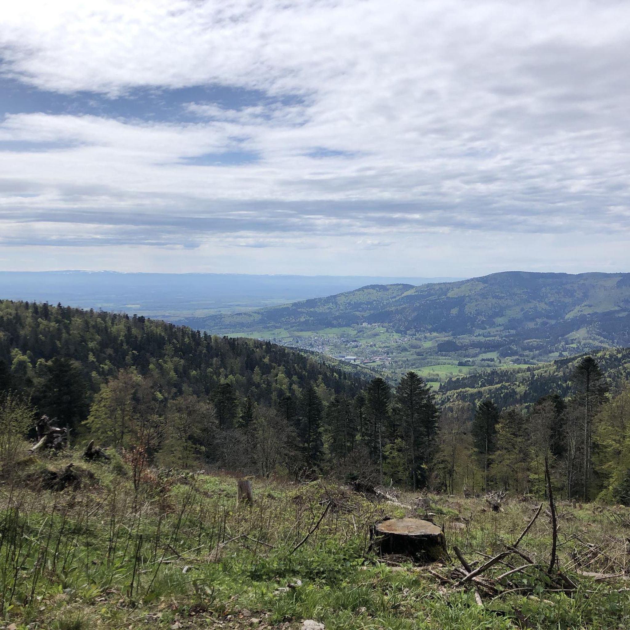
Gravel biking around Oberburbach features routes through a landscape characterized by significant elevation changes, dense forests, and open mountain passes. The region's terrain includes challenging climbs and descents, often leading to expansive views. Water features, such as the Michelbach Dam, are also part of the varied environment. The area offers diverse terrain suitable for different levels of gravel biking enthusiasts, combining paved surfaces with more challenging gravel paths.
Best gravel bike trails around Oberburbach
- The most popular gravel bike trail…
Last updated: July 3, 2026
5.0
(2)
16
riders
67.9km
04:42
1,380m
1,380m
Hard gravel ride. Very good fitness required. Mostly paved surfaces. Suitable for all skill levels.
5.0
(1)
18
riders
74.2km
05:09
1,300m
1,300m
Hard gravel ride. Very good fitness required. Mostly paved surfaces. Suitable for all skill levels.

Sign up for free
4.0
(1)
6
riders
26.7km
01:46
310m
310m
Moderate gravel ride. Good fitness required. Mostly paved surfaces. Suitable for all skill levels.
5.0
(1)
13
riders
27.1km
02:21
1,040m
1,040m
Hard gravel ride. Very good fitness required. Mostly paved surfaces. Suitable for all skill levels.
3
riders
39.3km
02:55
730m
730m
Hard gravel ride. Very good fitness required. Mostly paved surfaces. Suitable for all skill levels.
Get access to more routes and recommendations from other explorers.
Sign up for free
Already have an account?
Our route recommendations are based on thousands of hikes, rides, and runs completed by other people on komoot.
Start today with a free account
Your next adventure awaits.
Login or Signup
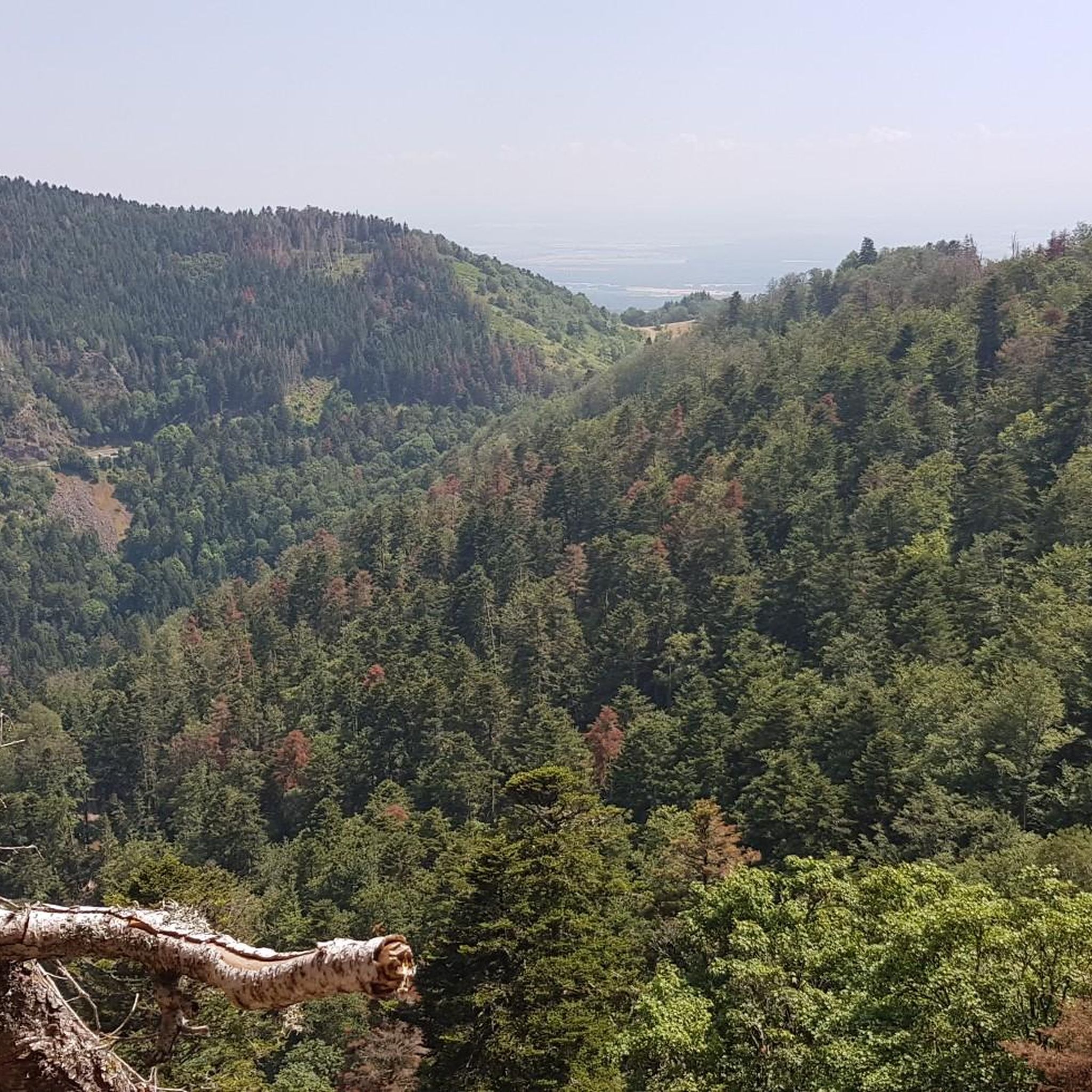
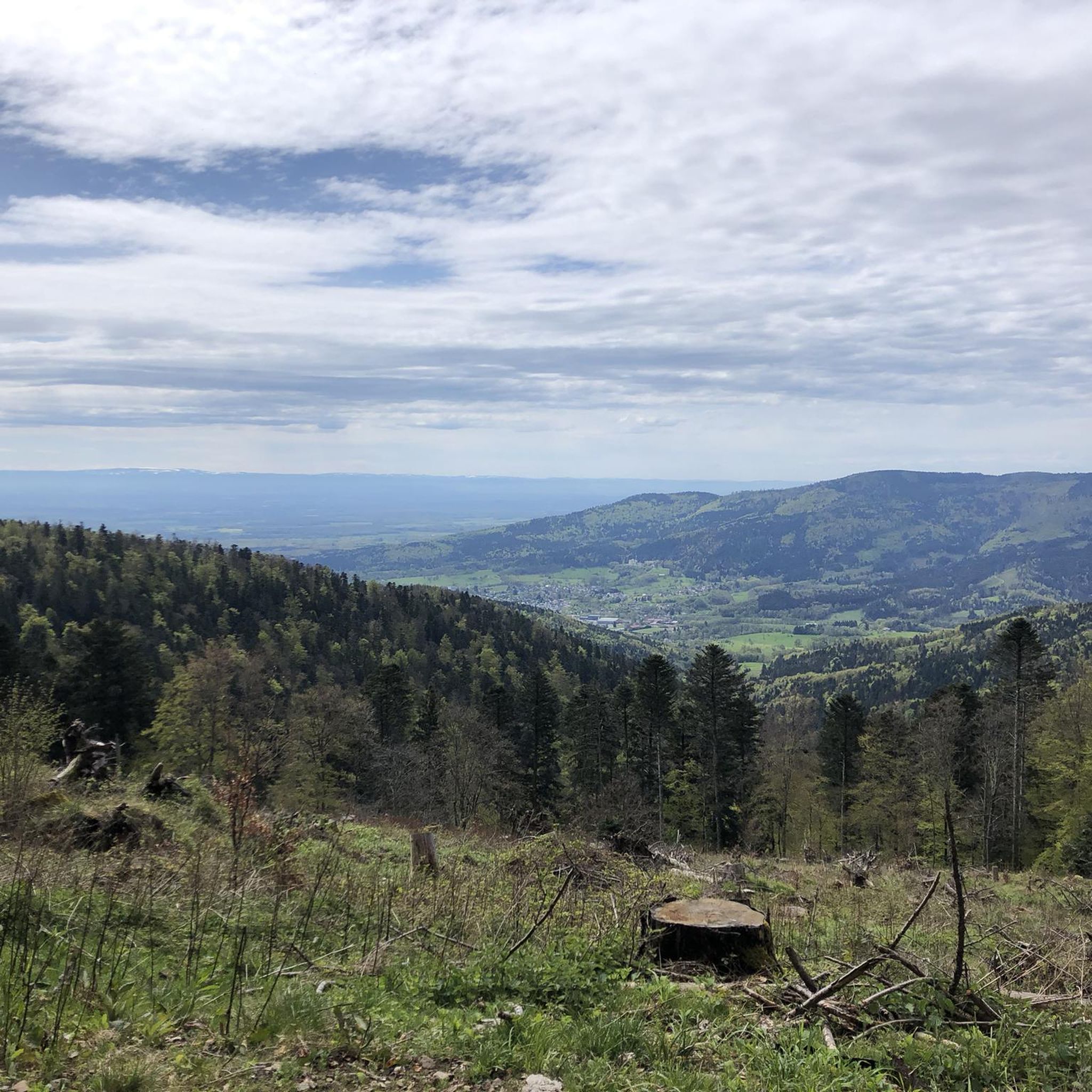
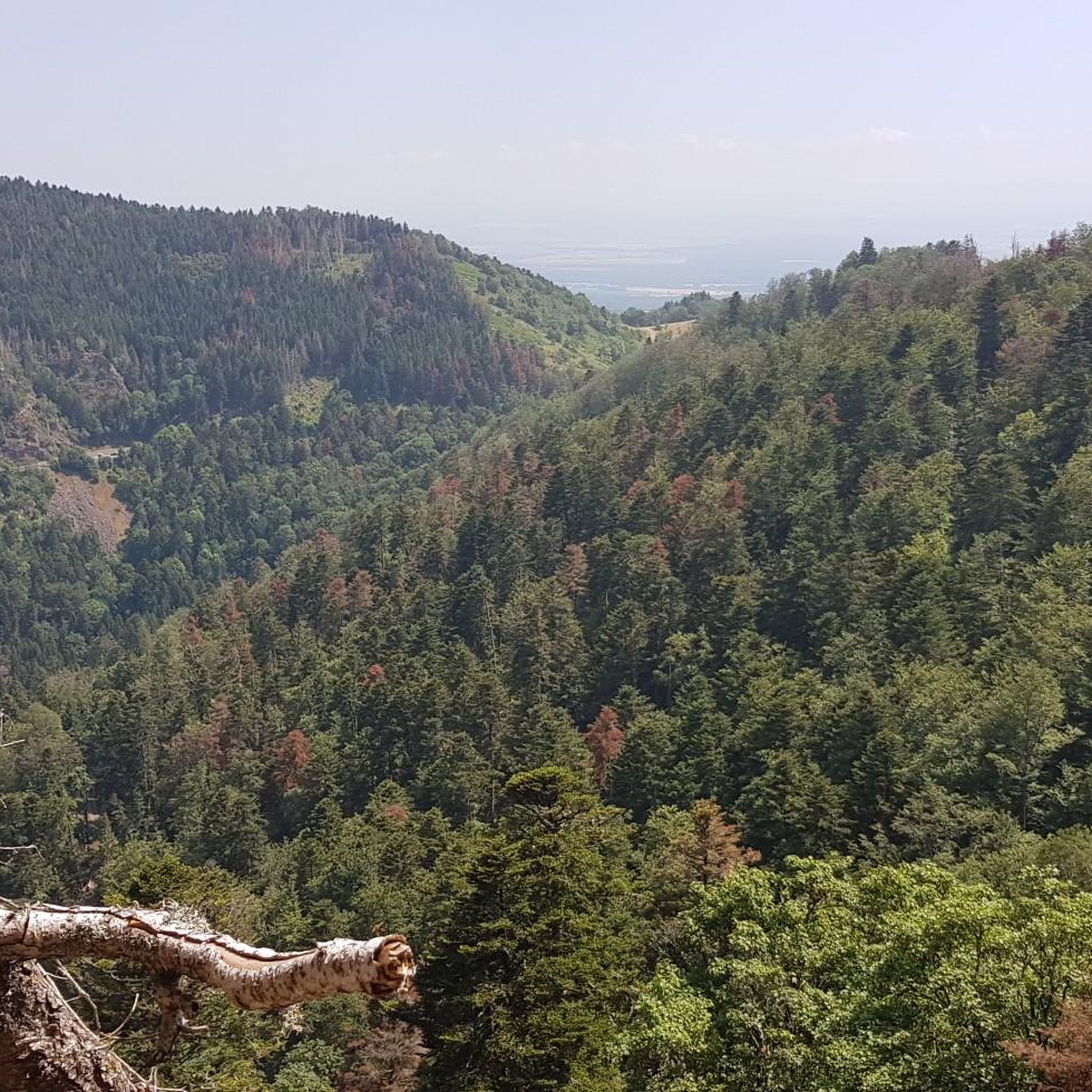
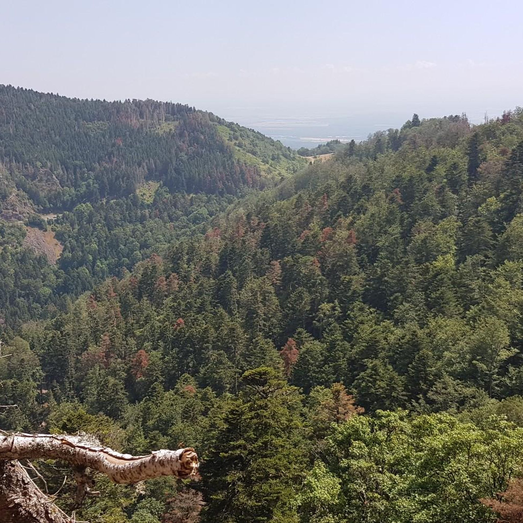

Tips from the Community

Lovingly nicknamed "the Autobahn" by me, it leads from Geishouse up to the Col du Haag, and is designed so that there is rarely a gradient over 10%. The Tour de France also rides up here 😬
0
0

Great ascent route, away from the main roads, lots of forest = shade, moderate, steady climb between 6-9.5%, asphalt, few but great views
0
0

Great bike path, best asphalt, steep ramps
0
0


It's a dedicated cycle path with a good surface and road markings. There are no cars, despite the winding road. It's a great ride for both ascents and descents, and the scenery is beautiful.
0
0

The Château du Herrenfluh is a medieval ruin at an altitude of 858 metres. It was built in 1312 by Johan von Sankt Amarin, nicknamed Nordwind, and served as a lookout post for the princes-abbatons of Murbach. Due to its strategic location, the castle offered a panoramic view over Alsace, all the way to the foothills of the Jura. In 1376, it was captured by English mercenaries and later, in 1468, destroyed by the Swiss. During the First World War, the site was again used as a French observation post. Today, some ruins are still visible, and volunteers are working to preserve the remains. It is an interesting historical site along the Route des Crêtes.
7
0

A nice climb on a quiet road. But there are repeated steep sections up to 14%. The gradient is actually never below 8%.
1
0
The climb of the Col Amic from Soultz-Haut-Rhin is a beautiful and accessible climb in the Vosges, ideal for cyclists who love regularity and nature. The climb is 12.1 km long, bridges 559 meters of altitude and has an average gradient of 4.6%. The route winds through a quiet, wooded area and offers beautiful views of the Alsatian plain along the way. The summit is at 829 meters and forms a junction towards the Grand Ballon or the Hartmannswillerkopf massif. Thanks to its even profile, this climb is suitable for both recreational cyclists and athletic climbers.
6
0
Frequently Asked Questions
What is the overall difficulty level of gravel biking trails in Oberburbach?
Gravel biking around Oberburbach is characterized by significant elevation changes, offering a range of challenges. While there is 1 easy route, the majority of the 27 available trails are either moderate (3 routes) or difficult (23 routes), featuring sustained climbing through mountainous terrain and high mountain passes.
Are there any beginner-friendly or family-friendly gravel bike routes in Oberburbach?
Yes, there is 1 easy route available for those new to gravel biking or looking for a more relaxed ride. Additionally, the Michelbach Dam – Chapel of Rammersmatt loop from Thann is a moderate 16.6-mile (26.7 km) trail that might be suitable for families with some biking experience, offering varied landscapes around the Michelbach Dam.
What kind of terrain can I expect on Oberburbach's gravel bike trails?
The terrain in Oberburbach is diverse, featuring dense forests, open mountain passes, and significant elevation changes. You'll encounter challenging climbs and descents, often rewarded with expansive views. Routes also include paths around water features like the Michelbach Dam.
What are some notable viewpoints or scenic spots along the gravel bike routes?
Many routes in Oberburbach lead to expansive views due to the mountainous terrain. Specific highlights include the areas around the Grand Ballon and Col Amic. The Ascent from Soultz to Col du Grand Ballon and the Climb to Col Amic are well-known for their panoramic vistas.
What is the typical length and duration of gravel bike trails in Oberburbach?
The gravel bike trails in Oberburbach vary significantly in length and duration. For instance, the Markstein – Grand Ballon loop from Geishouse is a challenging 40.0-mile (64.4 km) route taking over 5 hours, while the moderate Michelbach Dam – Chapel of Rammersmatt loop from Thann is 16.6 miles (26.7 km) and typically completed in under 2 hours.
Are there any circular gravel bike routes available in Oberburbach?
Yes, many of the gravel bike routes in Oberburbach are designed as loops. Examples include the difficult Grand Ballon – Col Amic Pass loop from Steinbach and the Grand Ballon – Grand Ballon loop from Moosch, both offering comprehensive tours of the mountainous landscape.
What do other gravel bikers say about the trails in Oberburbach?
The gravel biking routes in Oberburbach are highly rated by the komoot community, with an average score of 4.6 stars from over 15 reviews. Users frequently praise the challenging mountain climbs, the beauty of the dense forest paths, and the varied terrain that includes water features like dams.
What are some interesting landmarks or attractions near the gravel bike trails?
Beyond the trails themselves, the region offers several points of interest. You can explore historical sites like the Hartmannswillerkopf National Monument or enjoy natural beauty at Lac des Perches (Star Lake) and Neuweiher Lake. The various mountain passes, such as the Hundsruck Pass, are also significant features.
When is the best season for gravel biking in Oberburbach?
Given the mountainous terrain and potential for snow at higher elevations, late spring through early autumn (May to October) is generally the best season for gravel biking in Oberburbach. During these months, trails are typically clear of snow, and the weather is more favorable for long rides and enjoying the expansive views.
Are there any specific routes that explore the Hundsruck Pass area?
Yes, the Hundsruck Pass – Hundsruck loop from Masevaux-Niederbruck is a difficult 44.5-mile (71.7 km) route specifically designed to explore the Hundsruck Pass area, offering a challenging ride with significant elevation changes.
Where can I find parking for gravel biking trails in Oberburbach?
While specific parking details are not provided for every starting point, many routes begin from towns or villages like Geishouse, Steinbach, Thann, Moosch, or Masevaux-Niederbruck. It is advisable to check local parking options in these areas before your ride.
Most popular routes around Oberburbach
Most popular attractions around Oberburbach

Get inspired with the komoot mobile app


Explore more
Browse the best Gravel rides in other regions.
